A Gazetteer of the Netherlands – 1794 | Folding Map, History of Holland
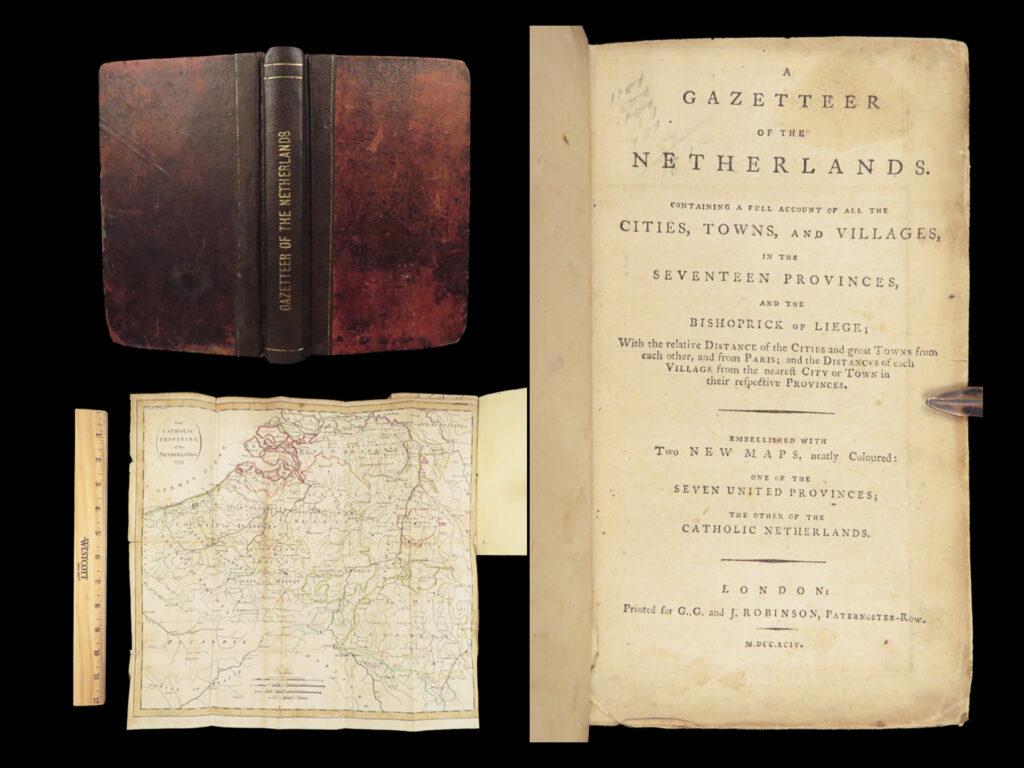
1794 London-printed geographical gazetteer listing the cities, towns, and villages of the Netherlands and the Bishopric of Liège, issued with a large folding map and arranged alphabetically by location.

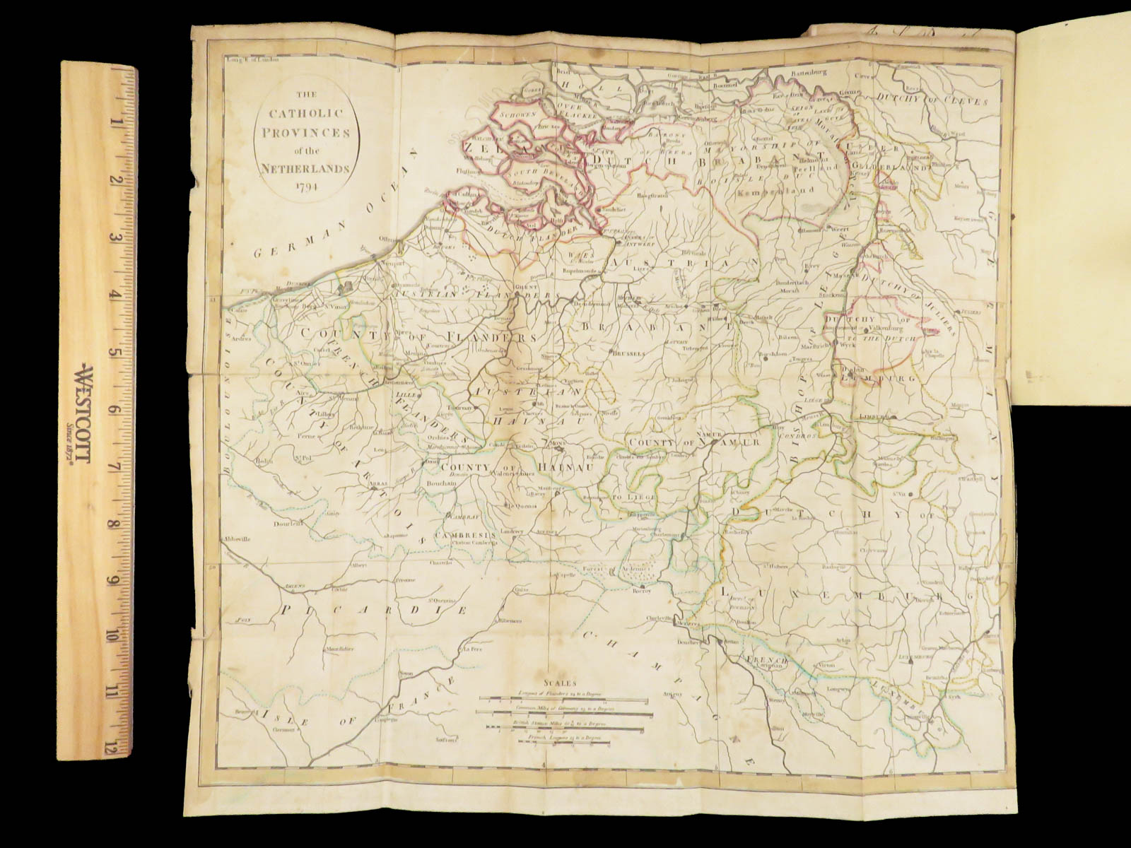

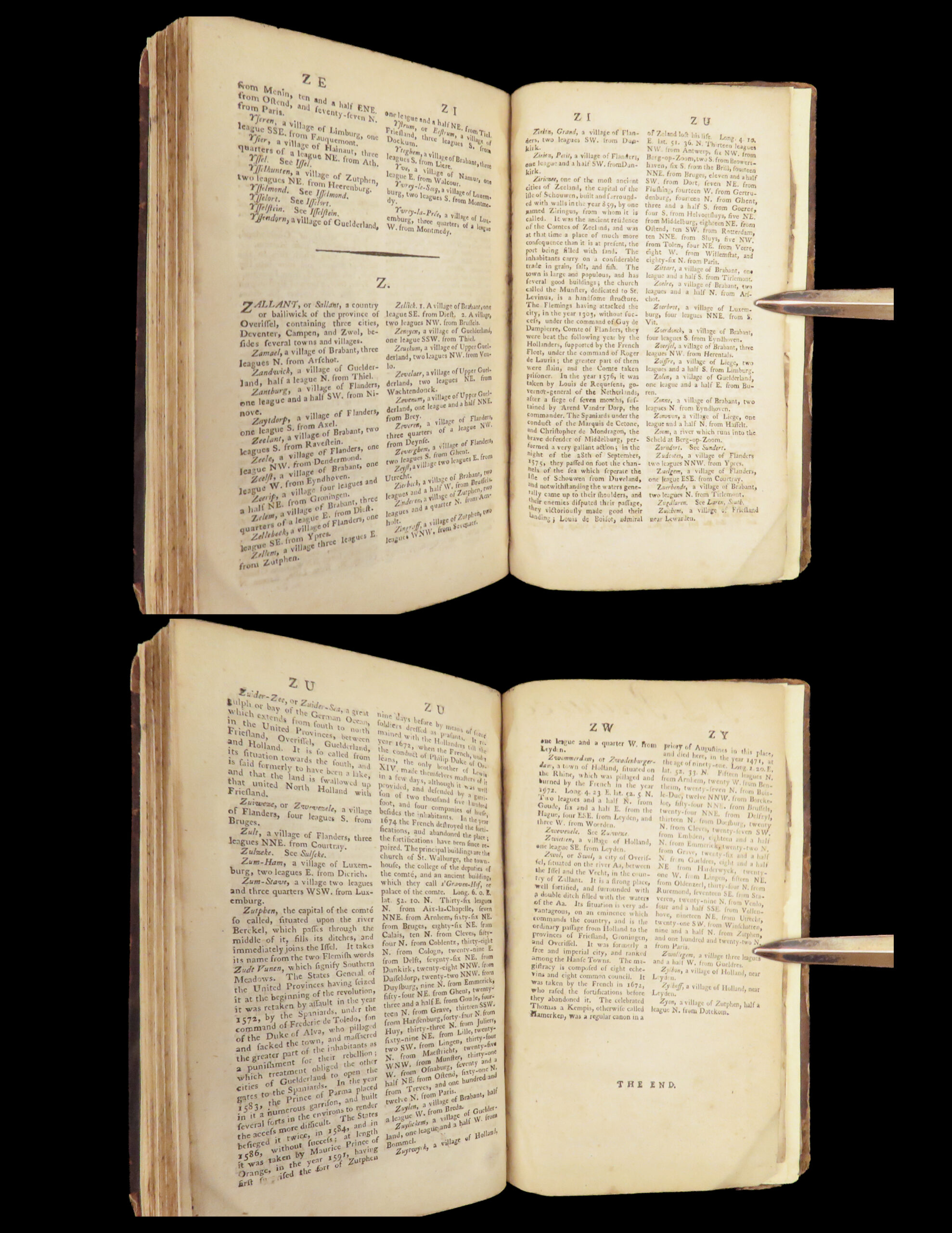
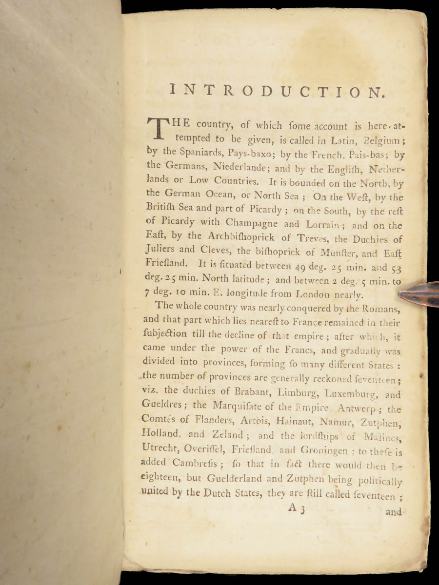
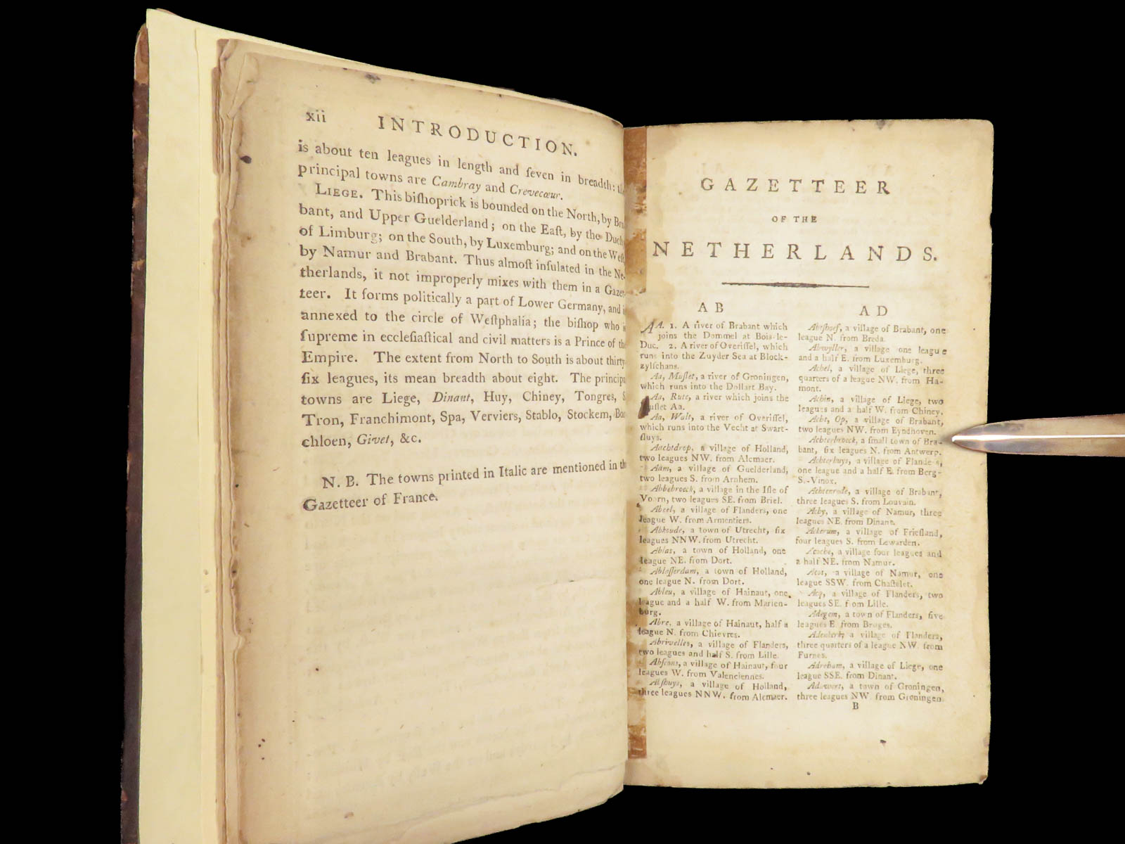
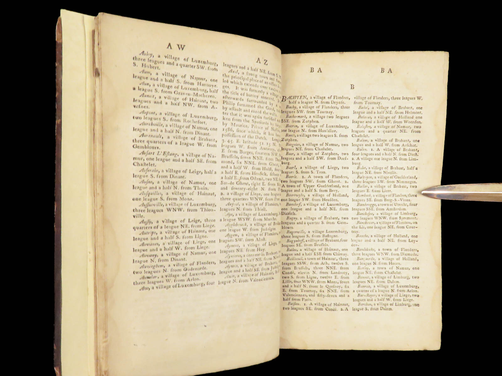
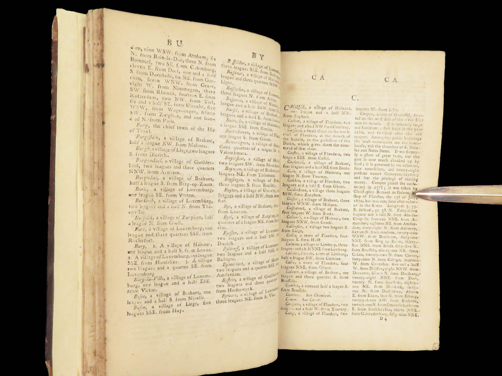
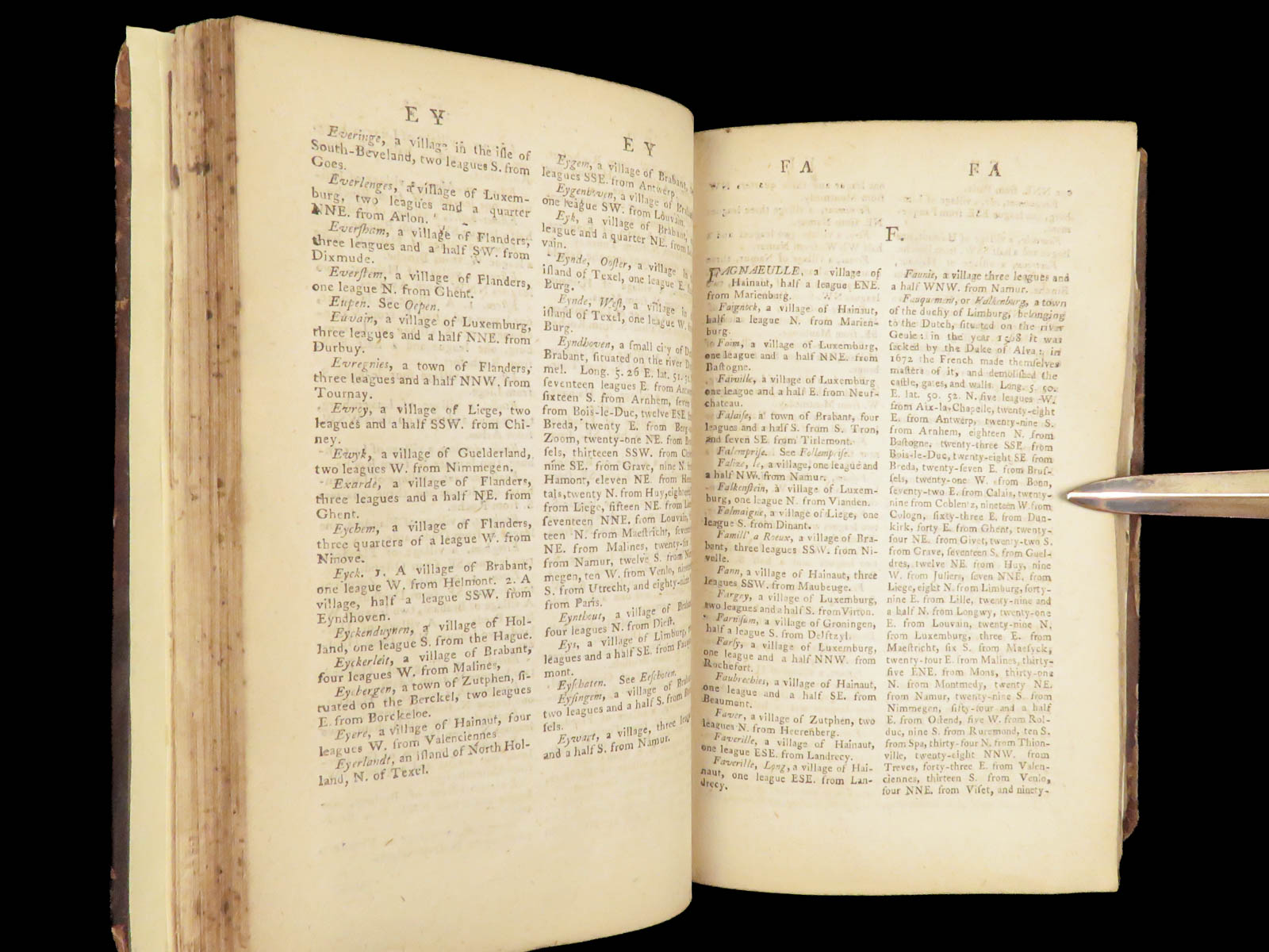
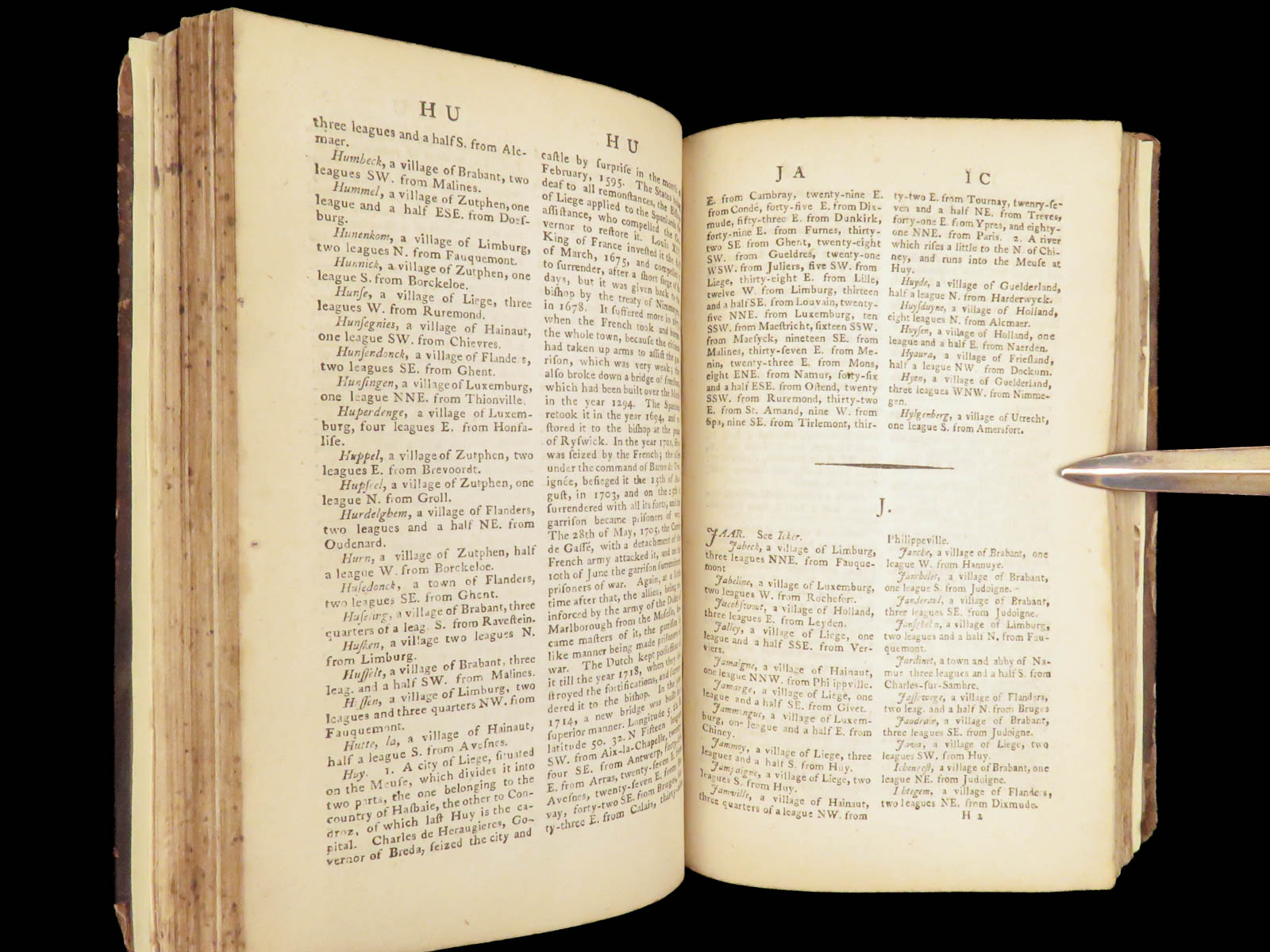
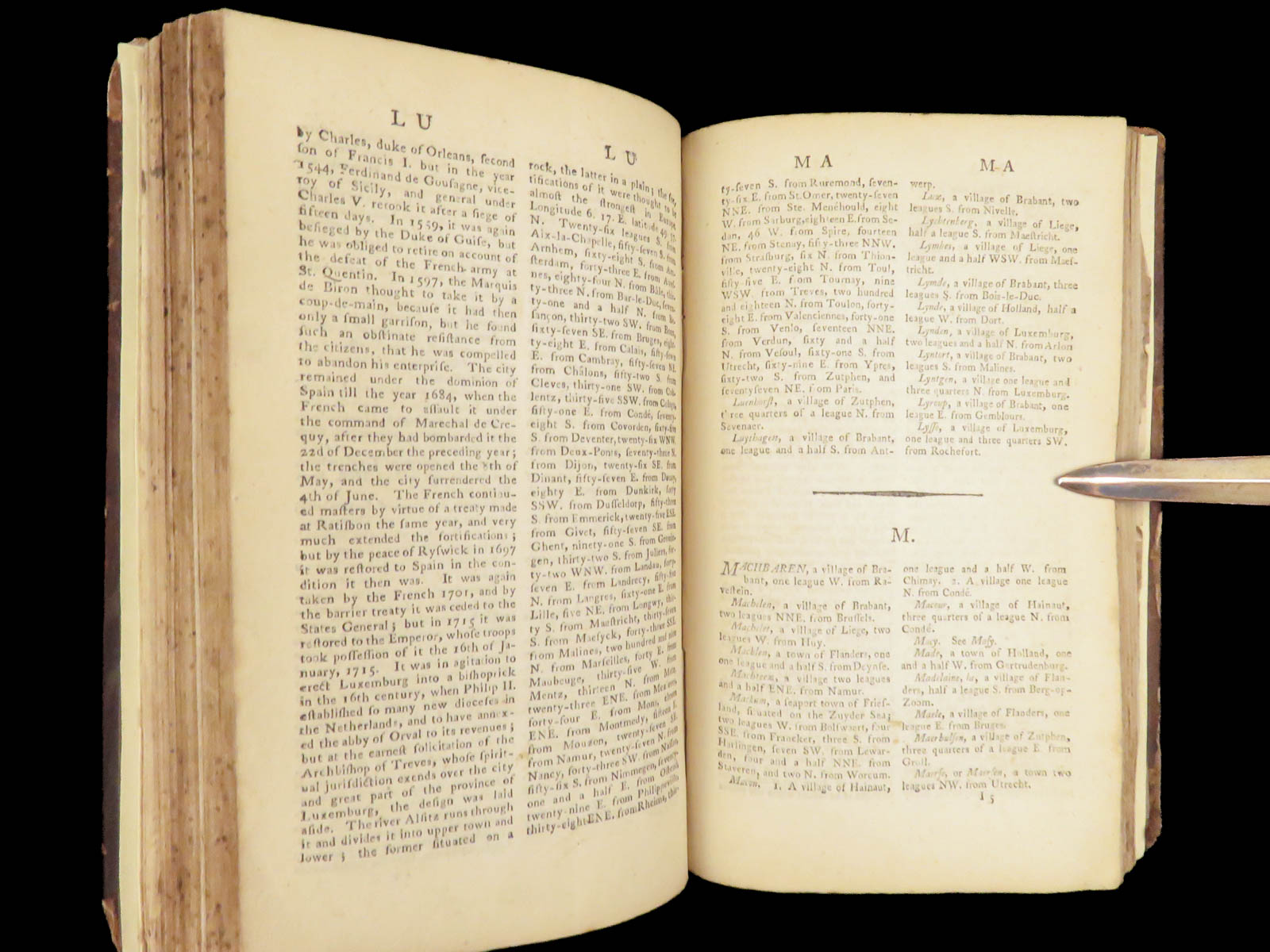
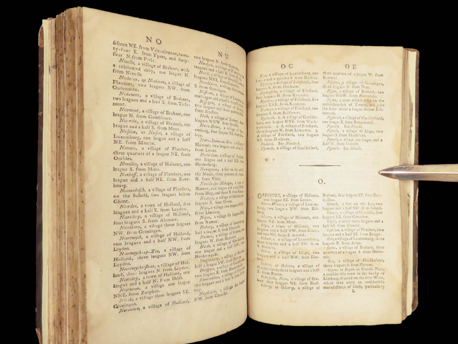
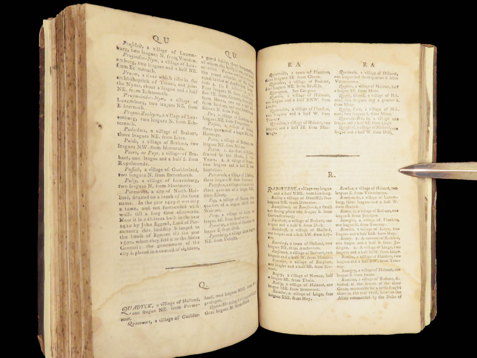
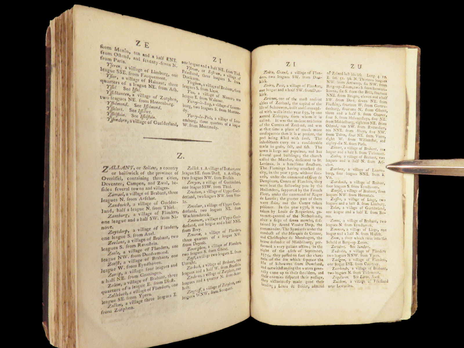
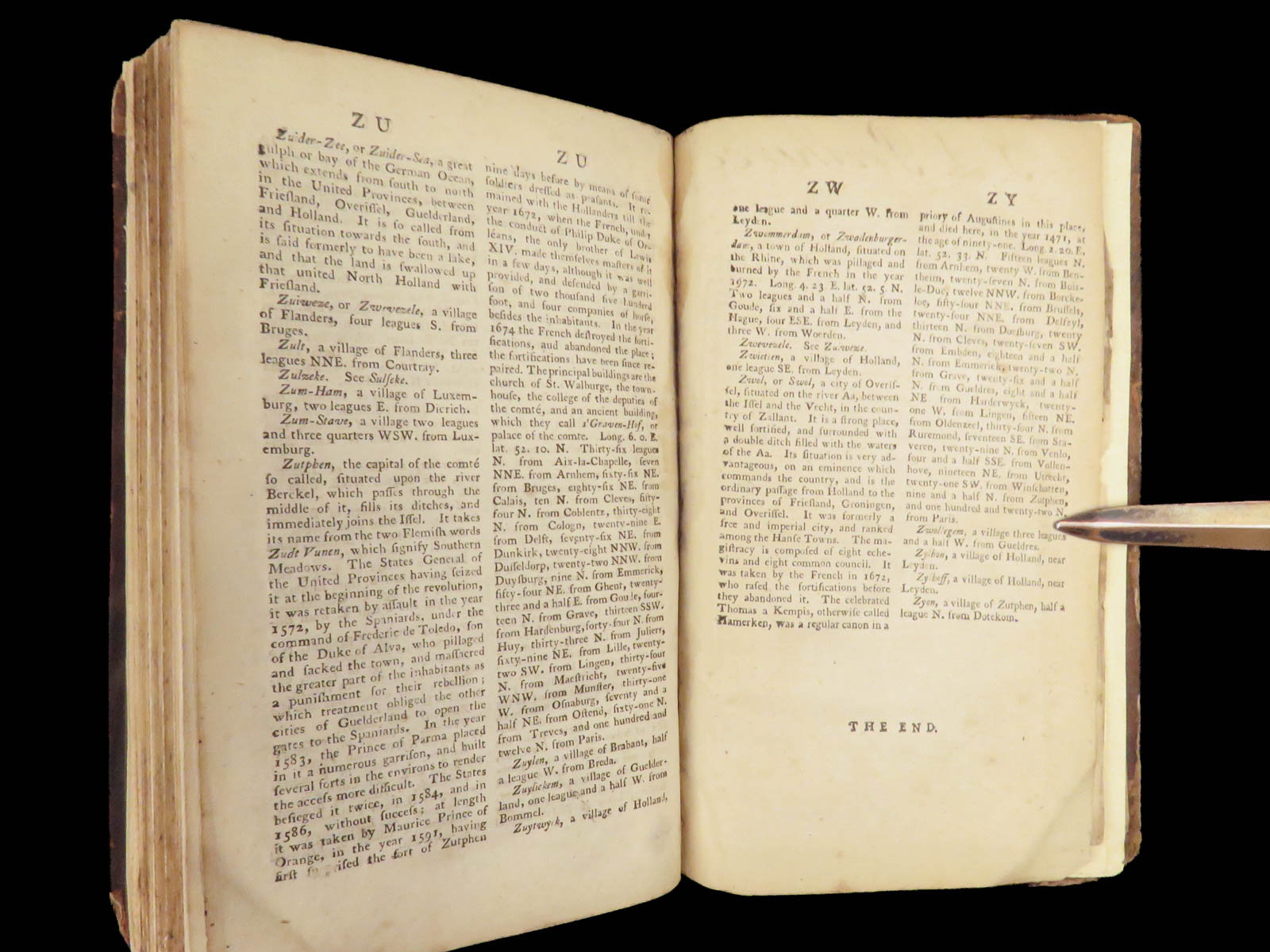
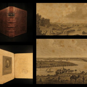
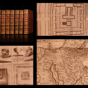
A Gazetteer of the Netherlands is a 1794 reference of all of the principal towns, villages, and regions of the 17 provinces and the Bishopric of Liege. Organized alphabetically, this book is simply a geographical concordance offering accounts of the various settlements across the Netherlands and the Low Countries. It includes a large, folding hand-colored map of the Netherlands.
Bibliographic Details
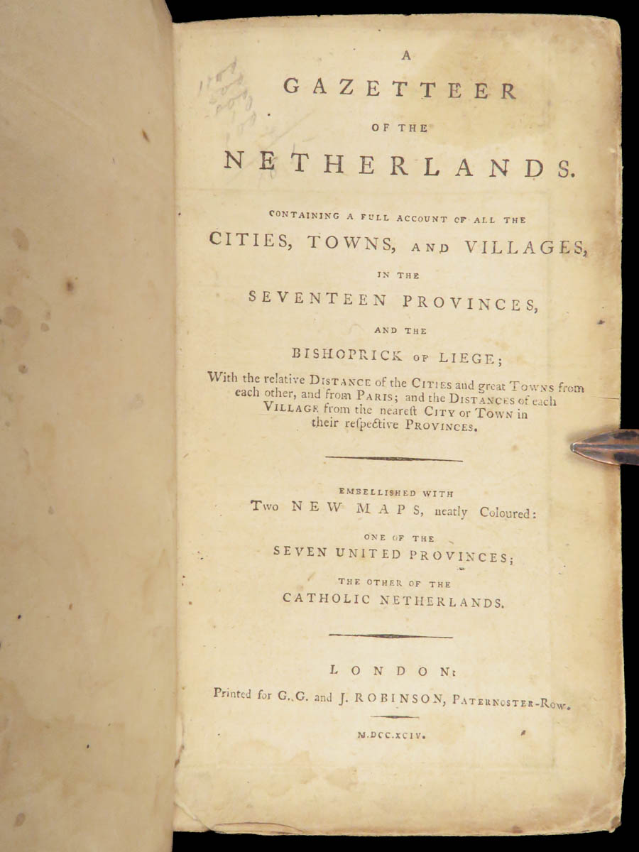
- Title: A Gazetteer of the Netherlands. Containing a Full Account of All the Cities, Towns, and Villages, in the Seventeen Provinces, and the Bishoprick of Liege
- Author(s): Netherlands
- Publisher: G.G. and J. Robinson, London
- Edition: First and only edition, 1794
- Format: (12mo), single volume
- Binding: Modern reinforced binding retaining original leather boards
- Size: 7 in x 4.25 in (17.8 cm x 10.8 cm)
- Collation: xii, [314] pp
- Illustrations: Large folding map (of 2)
- Contents Include:
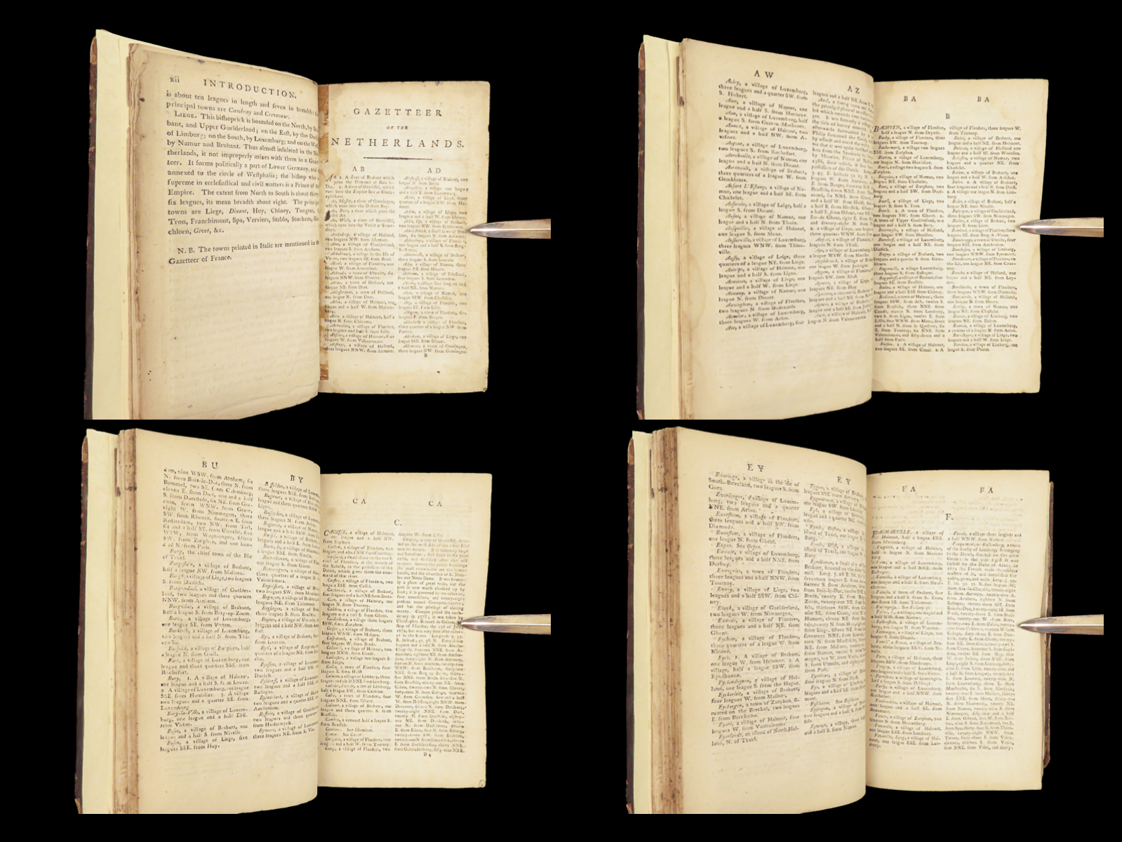
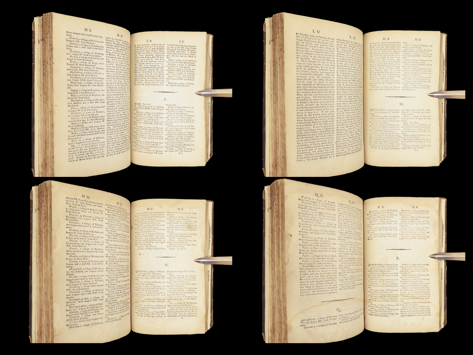
- Alphabetical Gazetteer of Provinces and Municipalities
- Administrative Divisions of the Bishopric of Liège
- Folding Map of the Netherlands
Condition:
Good. Modern reinforced binding incorporating original leather boards with moderate rubbing and worn corners. Text block complete, pages lightly toned with age, map intact. Binding secure, edges trimmed, hinges reinforced.
Why Collect This?
- Early English-language geographical reference to the Netherlands
- Contains a large folding map
Item Number: #29489
Categories
European History
Language Study & Reference
Maps
Voyages & Exploration & Maps
Authors
Netherlands
Printing Date
18th Century
Language
English
Binding
Leather
Book Condition
Good
Other Books you might like...
-
Sale!
 Add to cart
1723 Drunken Barnaby Four Journeys Brathwait English Satire Alcohol Wine Beer
Original price was: $599.00.$499.00Current price is: $499.00. -
Sale!
 Add to cart
1800 1st English ed Sonnini Travels in EGYPT Egyptian Sexuality Archaeology
Original price was: $950.00.$850.00Current price is: $850.00. -
Sale!
 Add to cart
1681 Greek Orthodox 1ed Zialowski Byzantine Voyage PERSIA Egypt Athanasian Creed
Original price was: $550.00.$499.00Current price is: $499.00. -
Sale!
 Add to cart
1725 Jewish History Calmet JEWS + Bible Commentary Holy Land MAPS Jerusalem
Original price was: $750.00.$650.00Current price is: $650.00.