A Voyage Round the World – George Anson – 1748 | 3 Huge Folding Maps

George Anson’s Voyage Round the World. Original Knapton printing with all three folding maps. Clean, complete, and in period calf.
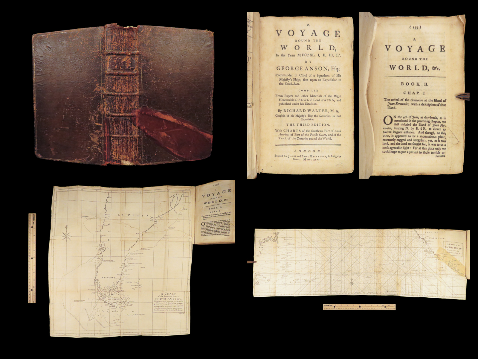
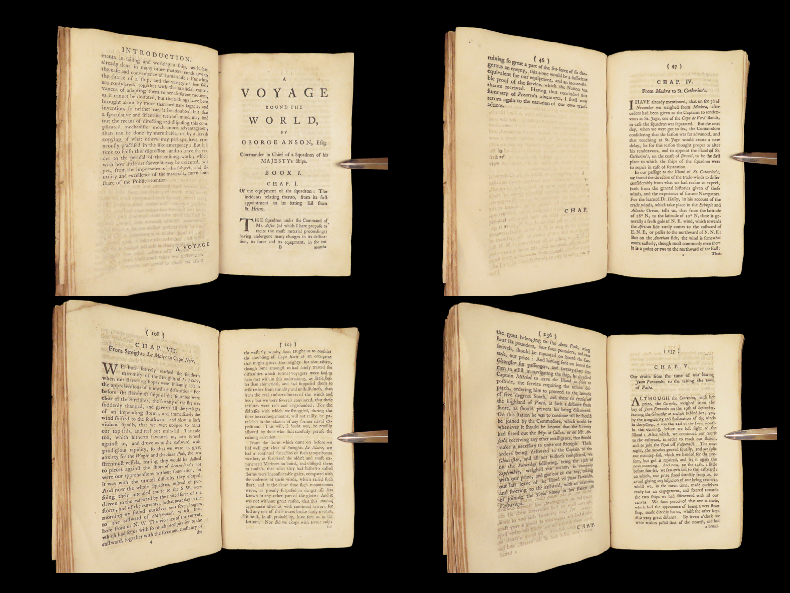
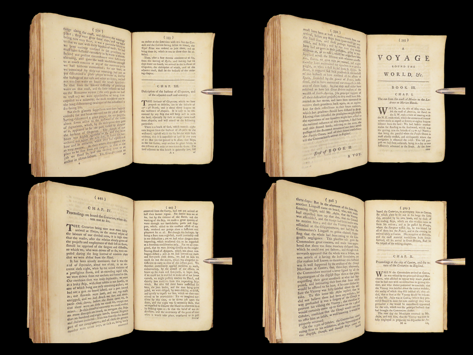
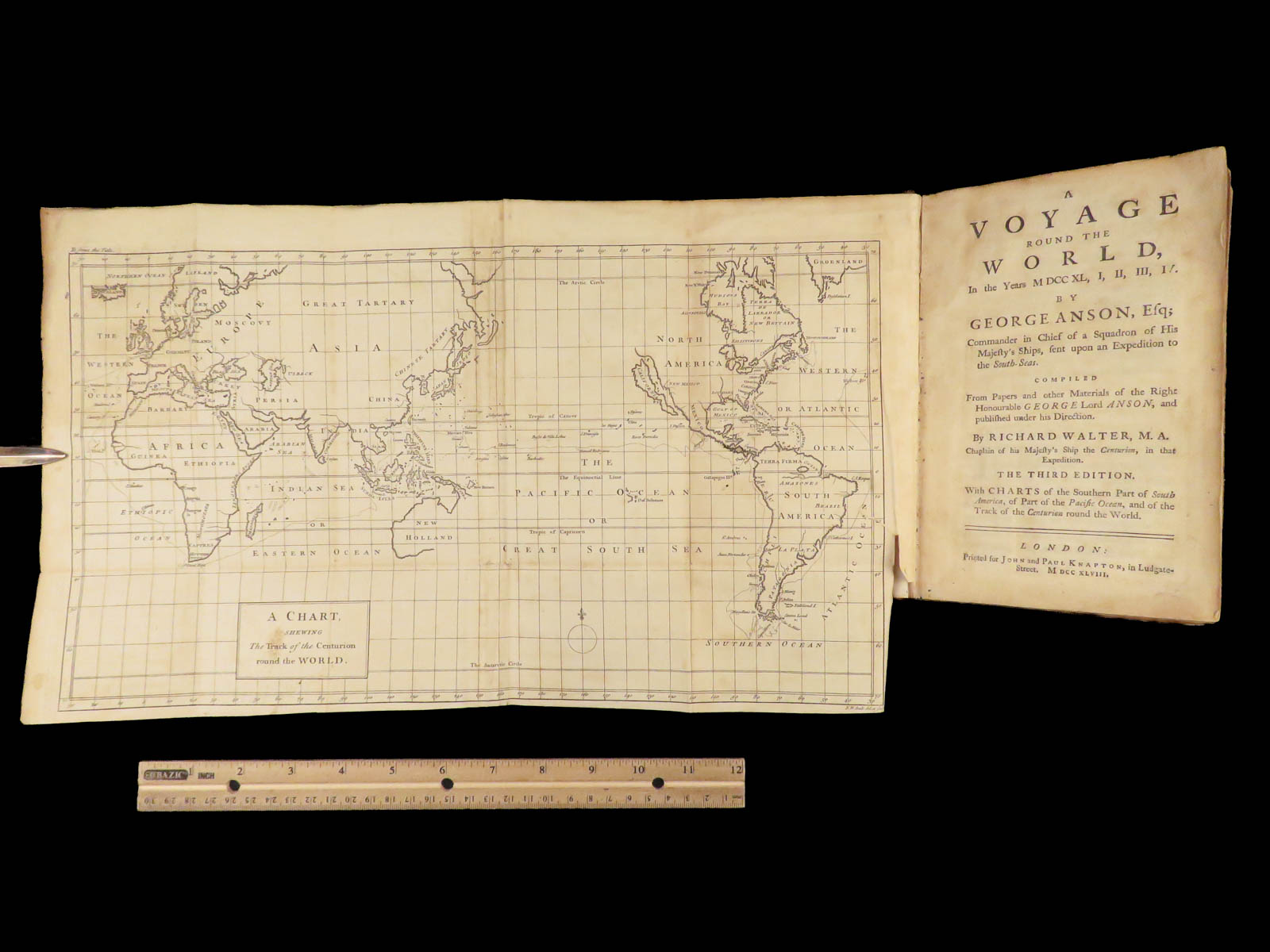
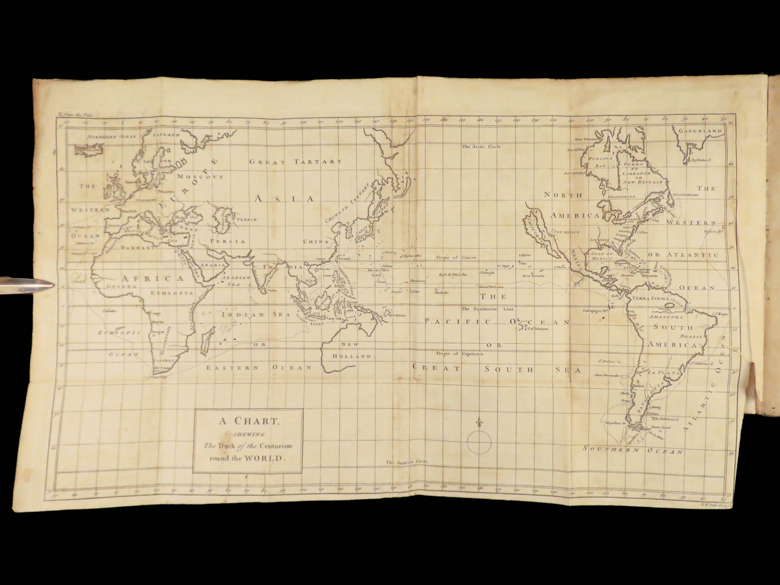
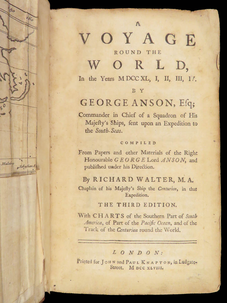
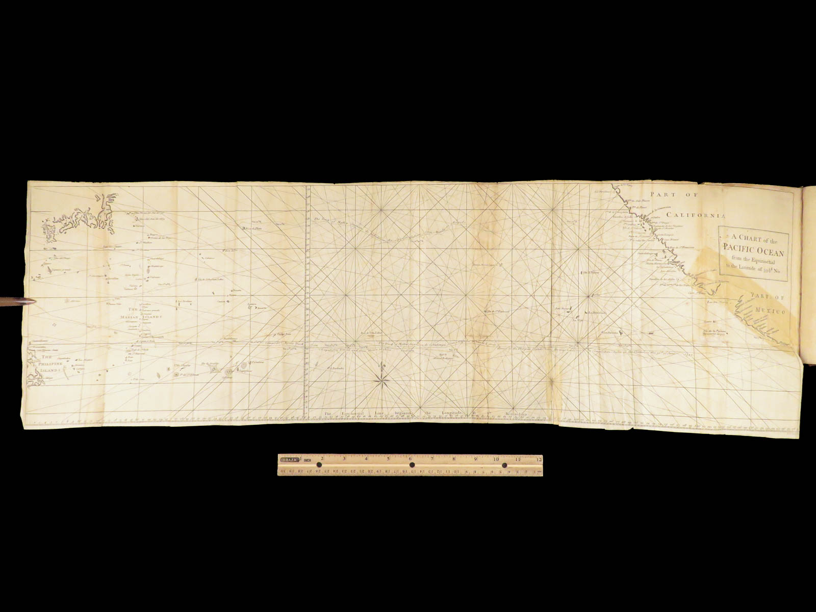
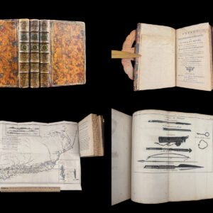
The 1748 Voyage Round the World Anson edition was issued by John and Paul Knapton the same year as the first and retains the full narrative of Britain’s Pacific expedition against Spanish holdings. George Anson’s official account of this circumnavigation remains one of the most cited records of mid-18th-century naval movement. This edition includes all three large folding maps.
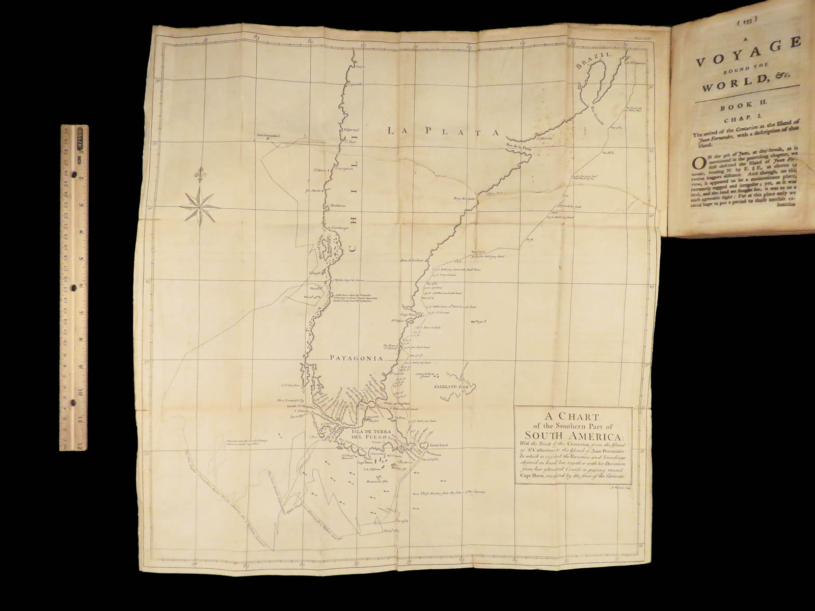
This work includes detailed route charts and geographic mapping of South America and the Pacific islands, all based on contemporary observation. Typography and layout remain consistent with the earlier issue, with corrected text. These official editions differ from later unauthorized or abridged copies, which often omit the original map suite or reduce the full narrative.
Bibliographic Details
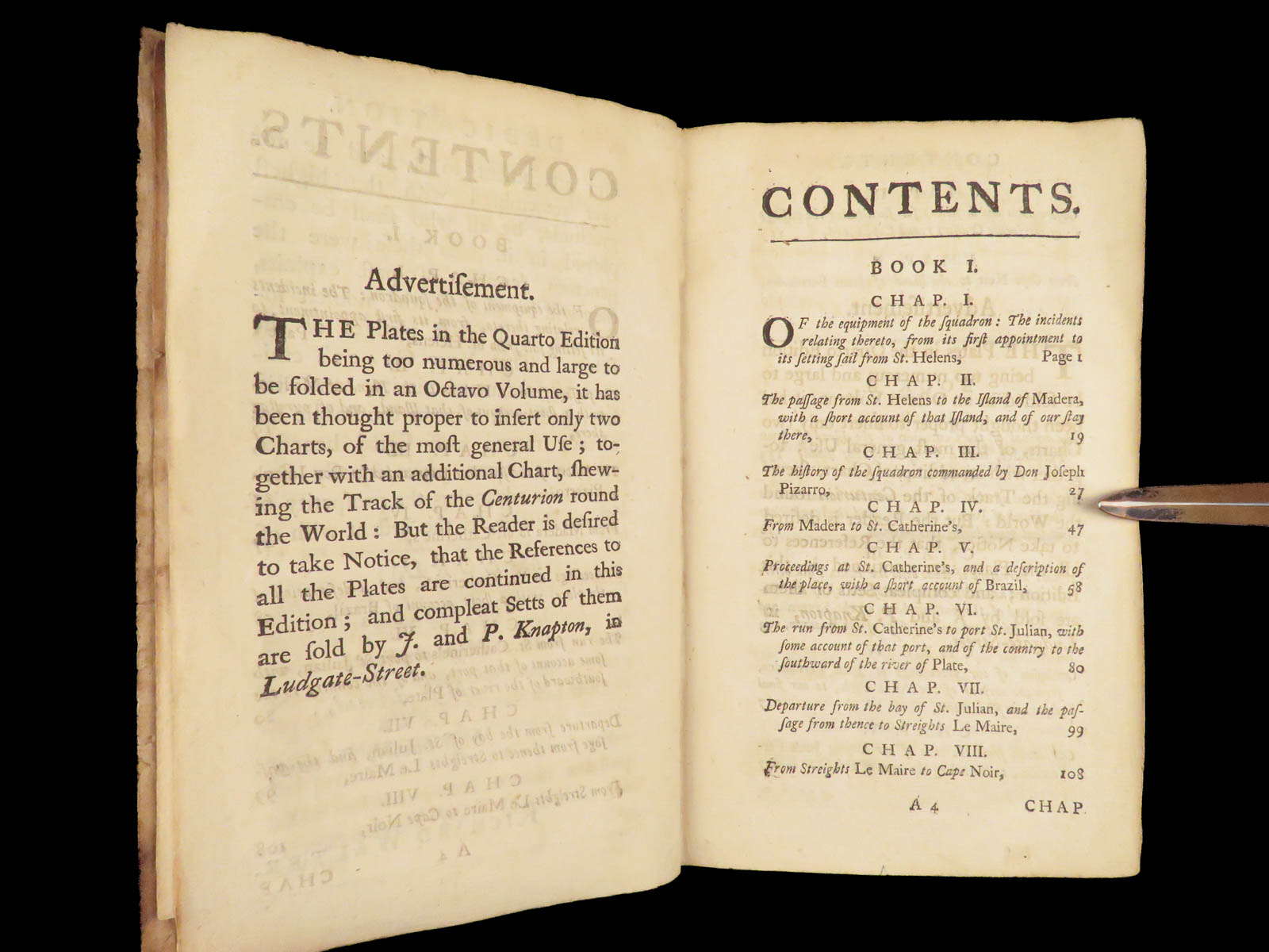
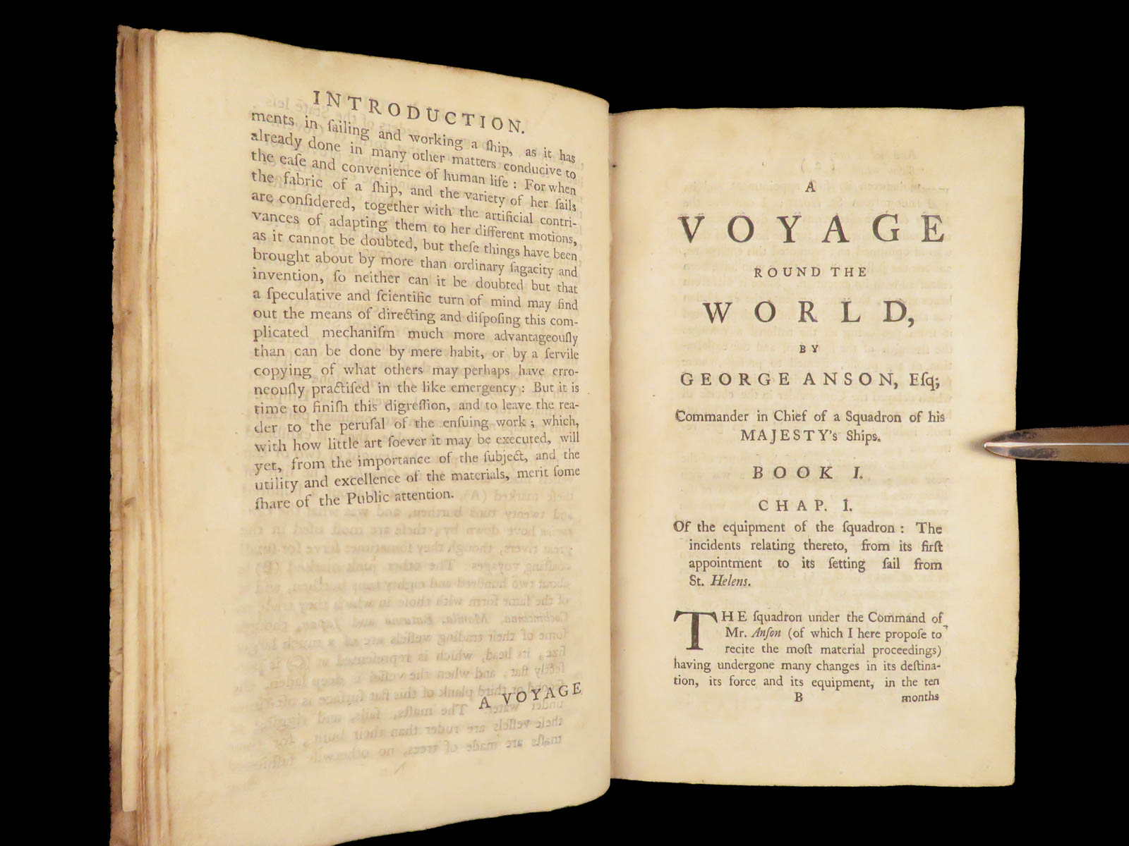
- Title: A Voyage Round the World: In the Years MDCCXL, I, II, III, IV
- Author(s): George Anson
- Publisher: London, Printed for John and Paul Knapton
- Edition: Third edition, 1748.
- Format: Octavo, single volume
- Binding: Full calf, gilt spine, raised bands
- Size: 8in x 5in (20cm x 12.5cm)
- Collation: [24], 548 pp
- Illustrations: 3 large folding maps
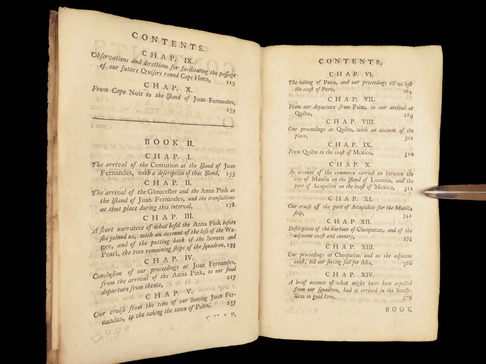
- Contents Include:
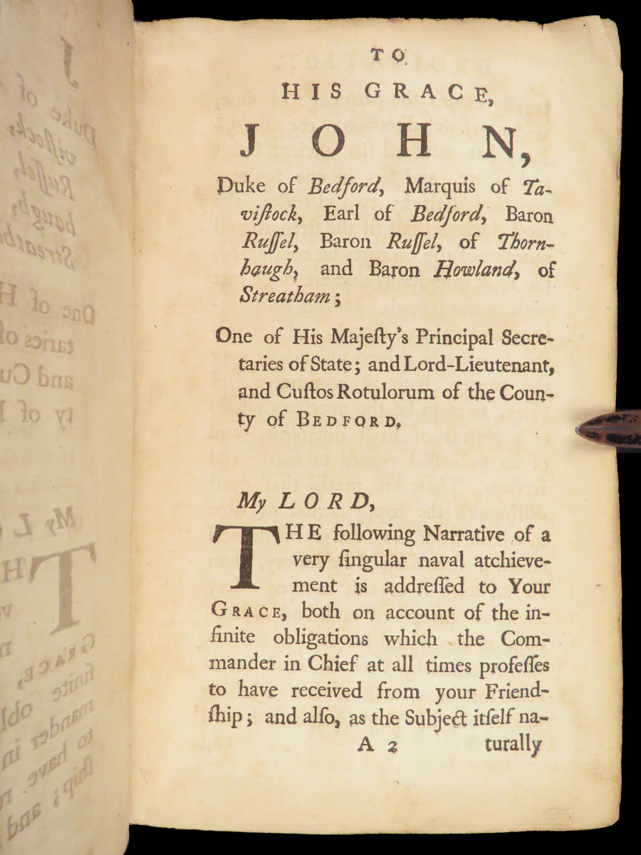
- Preface and voyage background
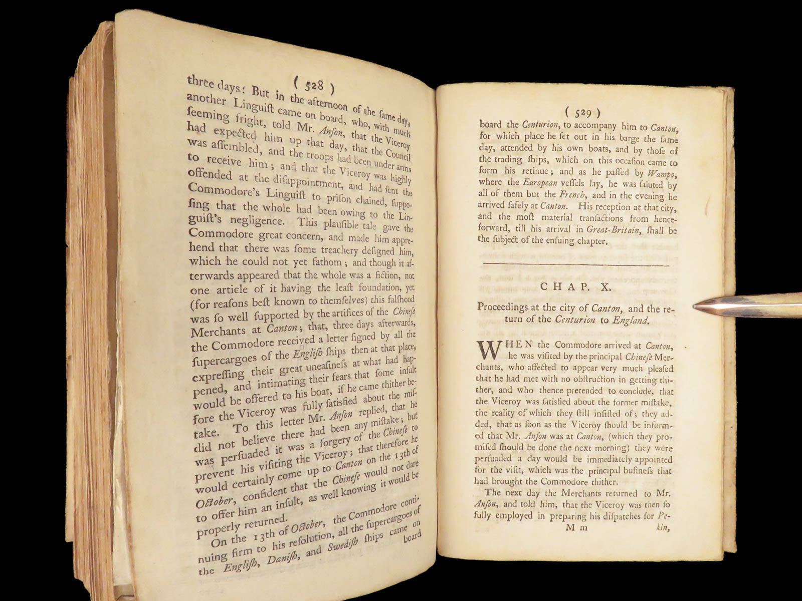
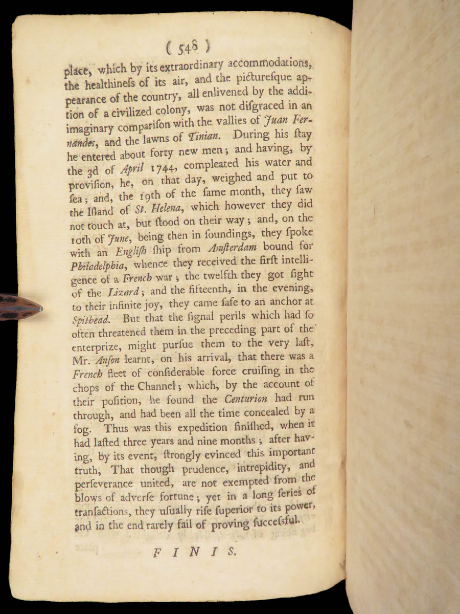
- Chronological log of events from 1740–1744
- Account of shipwrecks, disease, and survival
- Capture of the Manila galleon
- Reference(s): Sabin 1625/6; ESTC 74545; Palau 12865; Cox I, 49; Rodger, Command of the Ocean; Lowndes 49
Condition:
Full period calf binding with raised bands and gilt spine title. Boards show handling wear but remain secure, with restored leather on the front board. Internally complete, with clean text throughout and no significant spotting. The three large folding maps are all present, well-preserved with minor to moderate repairs, and free from major faults.
Why Collect This?
- Includes all three original large folding maps
- Official edition tied to British Admiralty reports
- Of interest to collectors of naval history, global expeditions, and 18th-century cartography
INVENTORY NUMBER (SKU): #28691
Categories
European History
Maps
Voyages & Exploration & Maps
Authors
George Anson
Printing Date
19th Century
Language
English
Binding
Leather
Book Condition
Very Good
Collation
Complete
Other Books you might like...
-
Sale!
 Add to cart
1843 Lucry Voyages Atlas CHINA South America Jungles Color Engravings CORTEZ
Original price was: $950.00.$750.00Current price is: $750.00. -
Sale!
 Add to cart
1814 FAMOUS Empire of Morocco Timbuktu Jackson Africa Shipwrecks MAPS Arabs
Original price was: $795.00.$695.00Current price is: $695.00. -
Sale!
 Add to cart
1787 1ed Good Hope Voyages Sparrman Captain Cook MAPS Illustrated 3v SET Africa
Original price was: $1,950.00.$1,500.00Current price is: $1,500.00. -
Sale!
 Add to cart
1794 EARLY American Biography Belknap Columbus Soto Cortez Magellan Puritans 2v
Original price was: $950.00.$850.00Current price is: $850.00.