Atlas Classica – Robert Wilkinson – 1820 | 46 Hand-Colored Ancient World Maps

Robert Wilkinson’s Atlas Classica (London, 1820) includes 46 hand-colored maps showing historical regions such as Ancient Greece, Egypt, Britain, and the Holy Land.
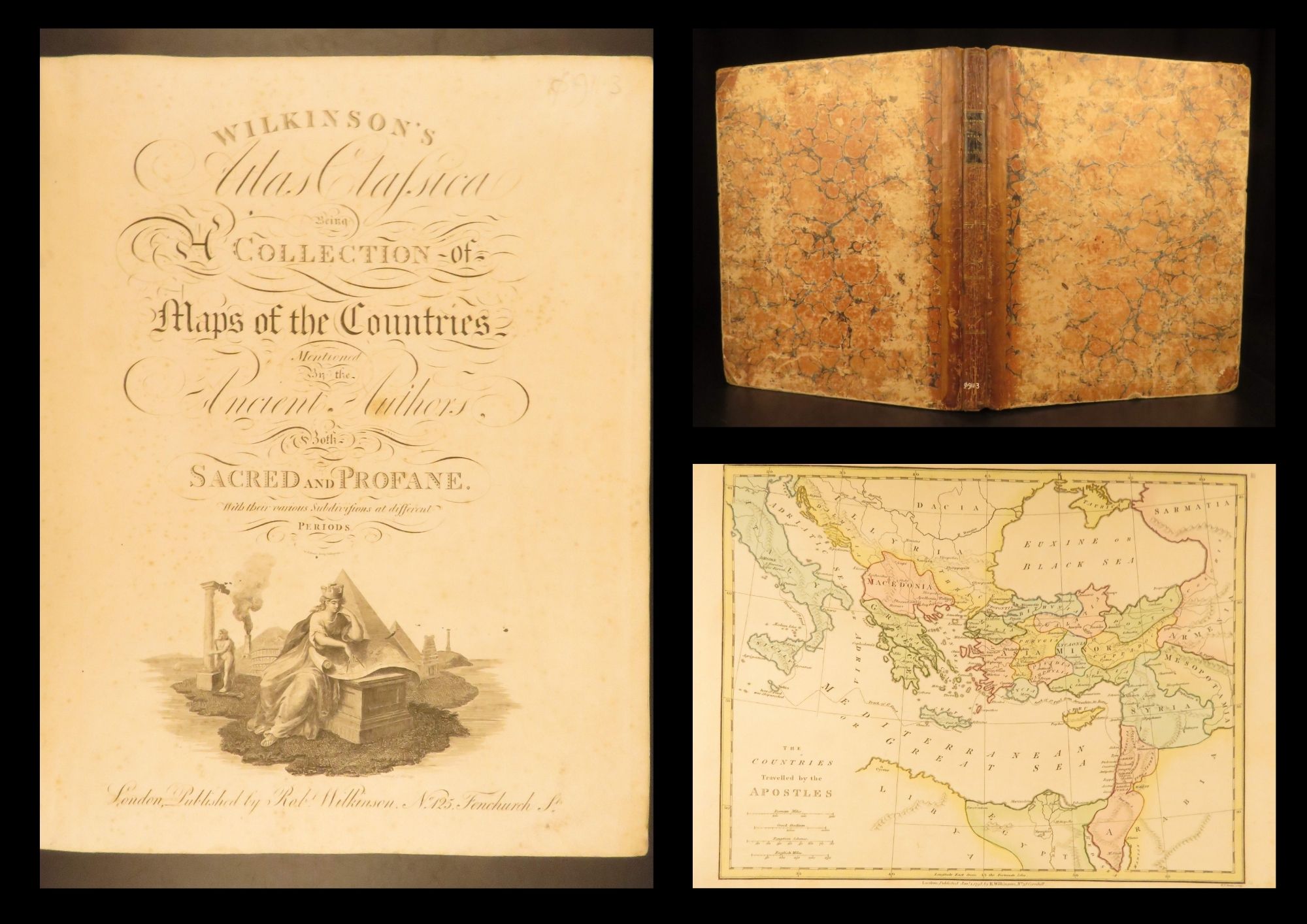
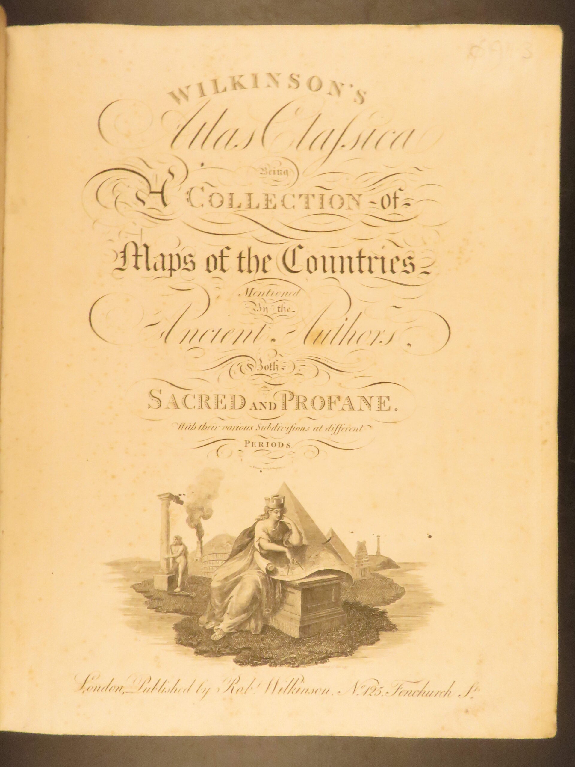
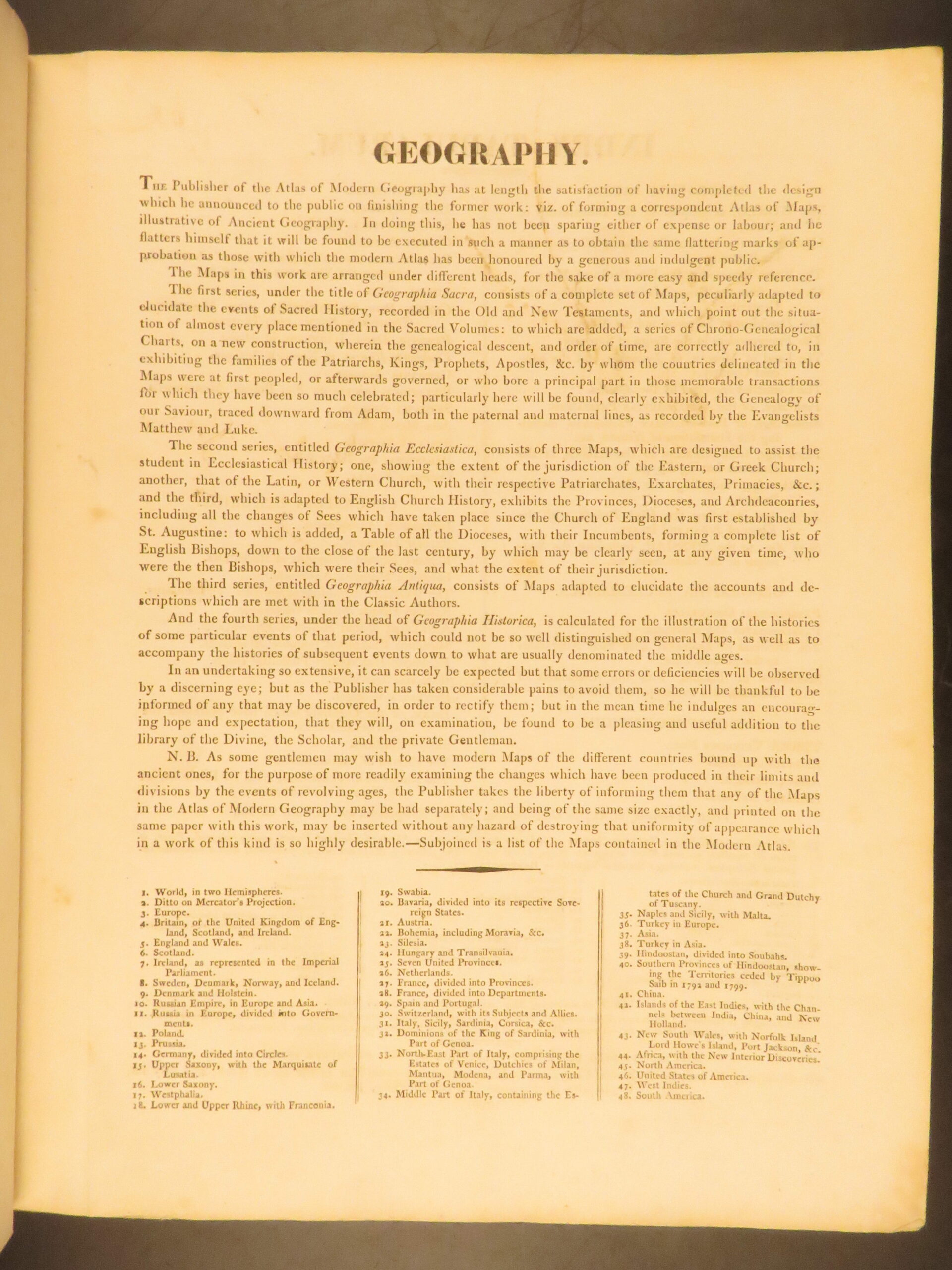
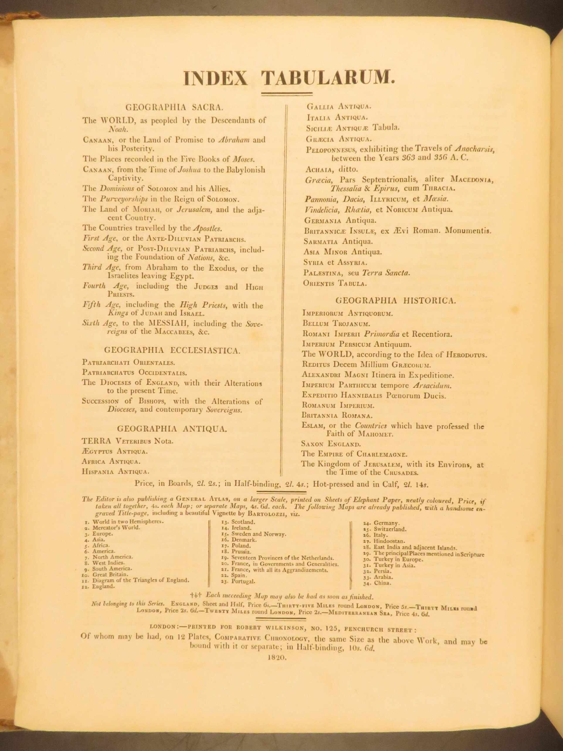
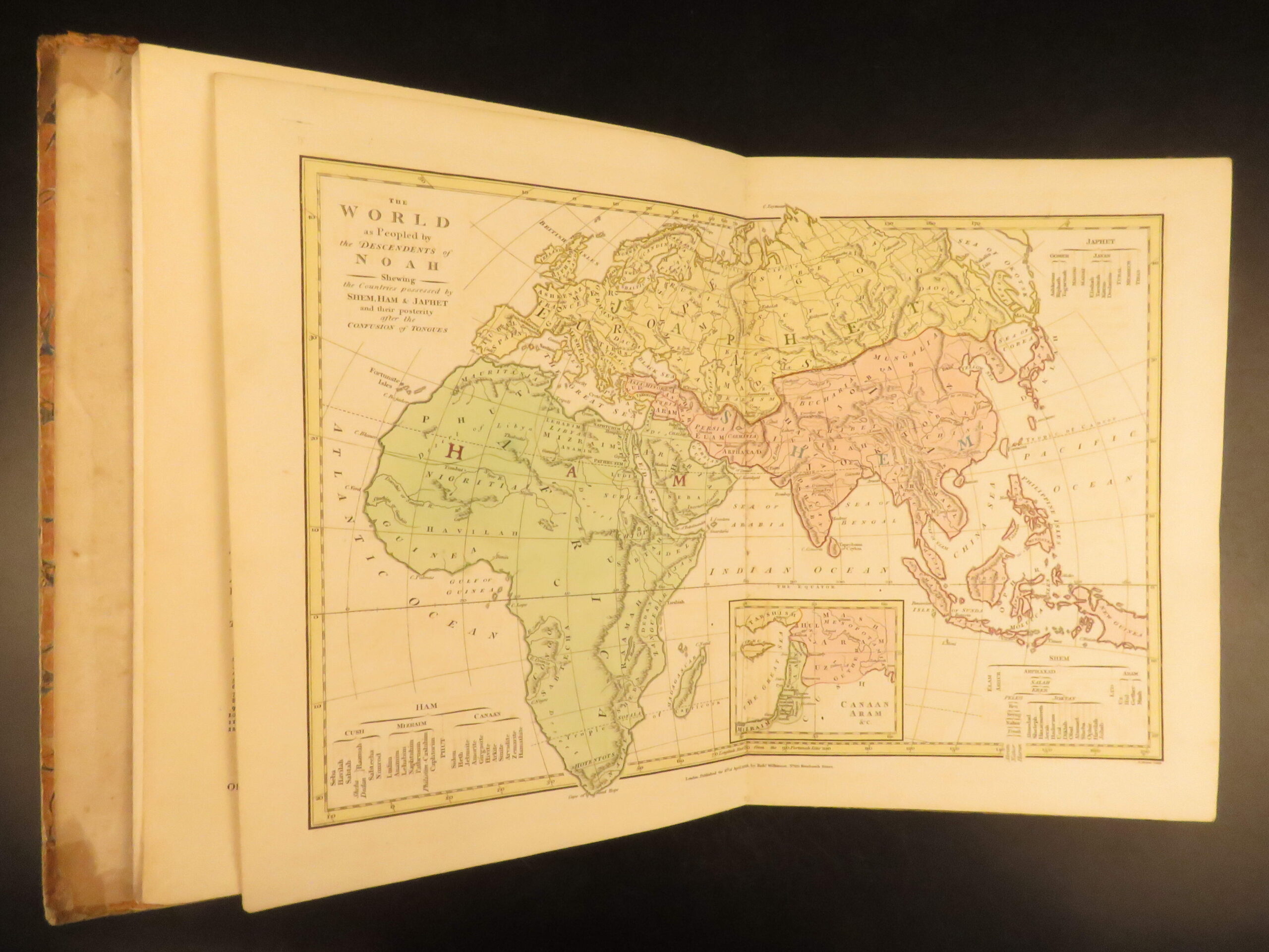
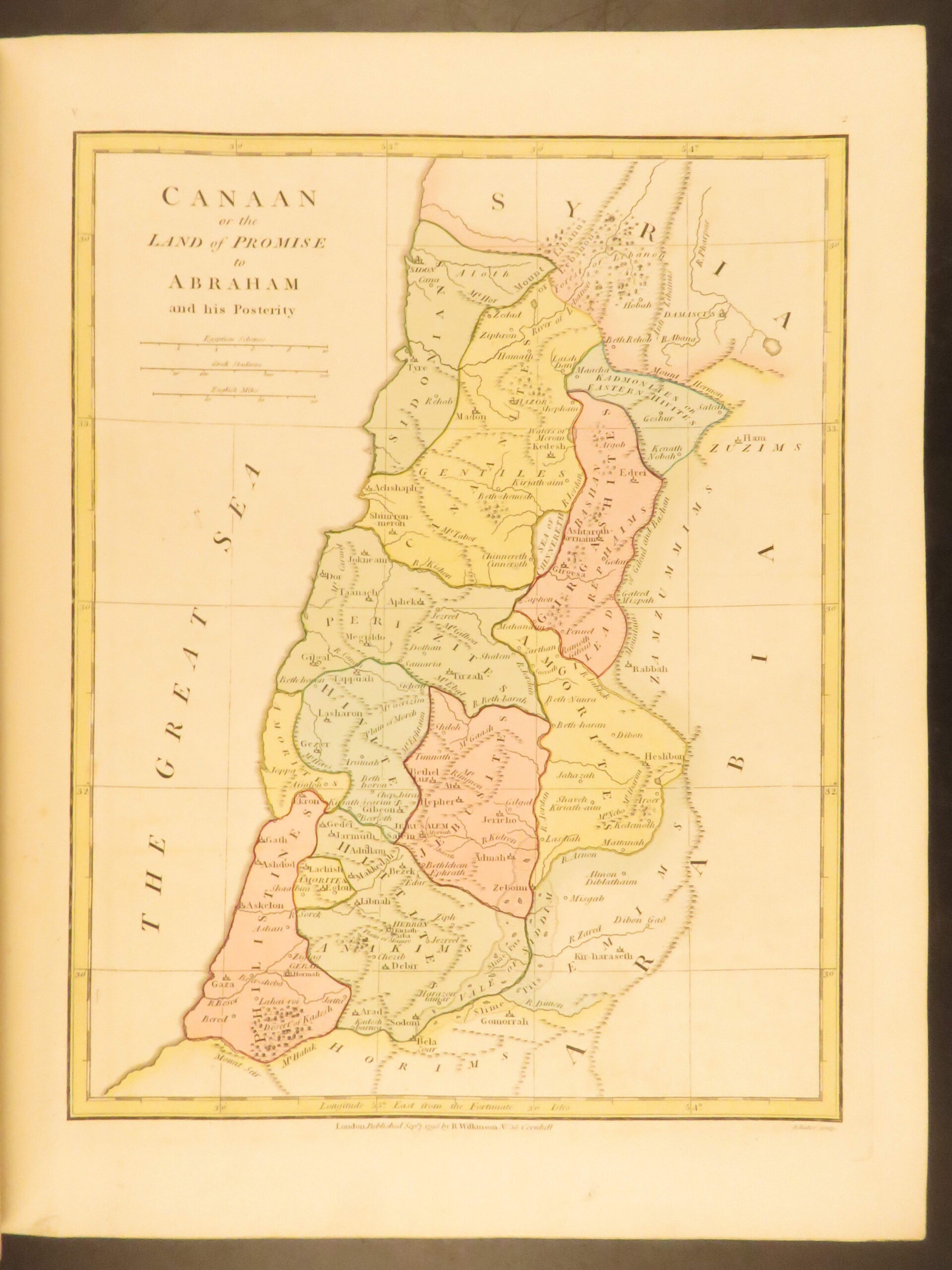
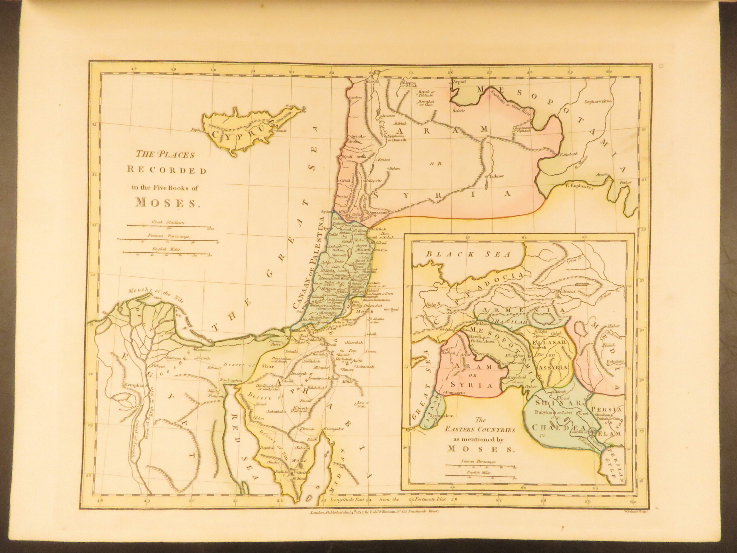
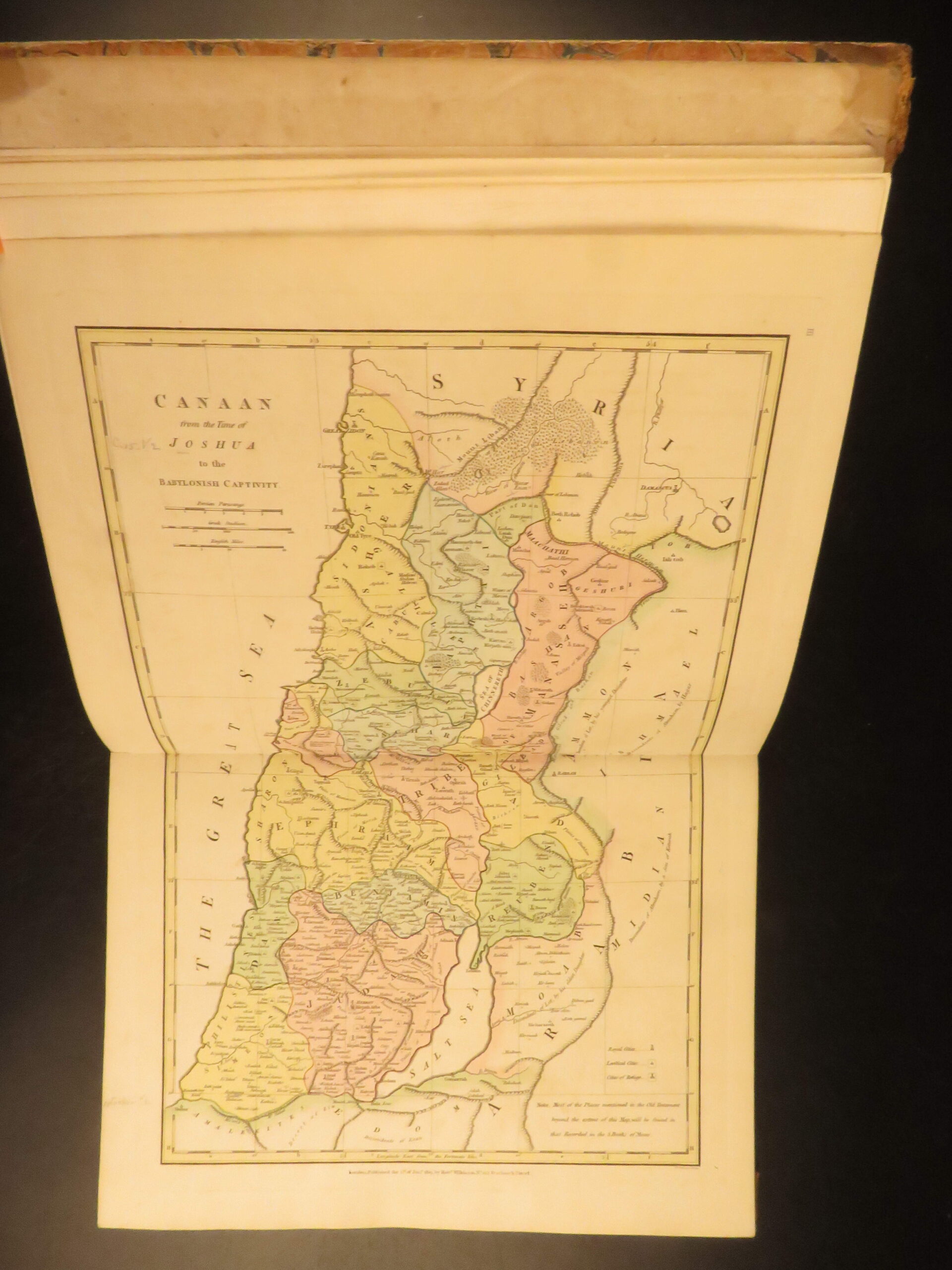
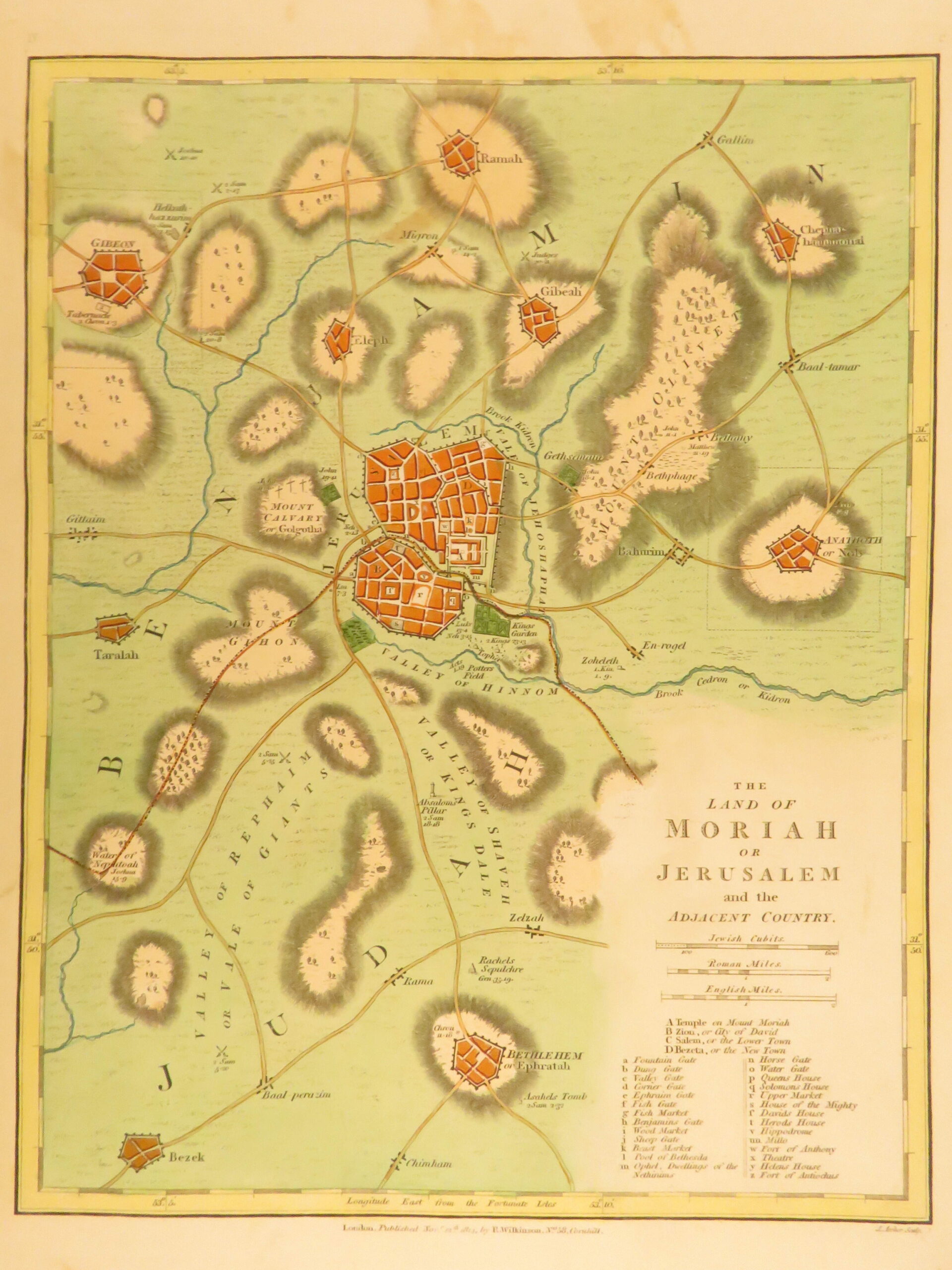
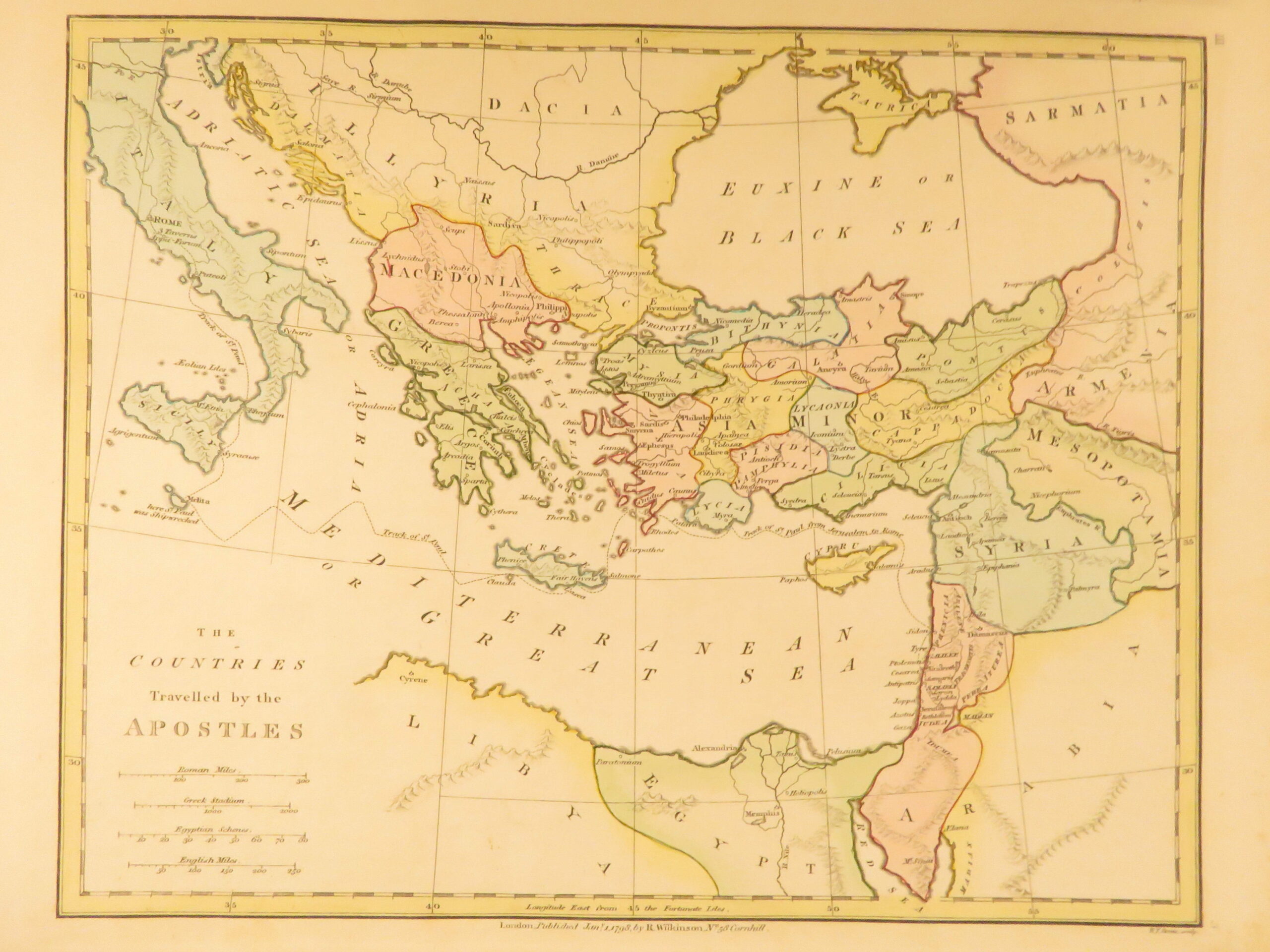
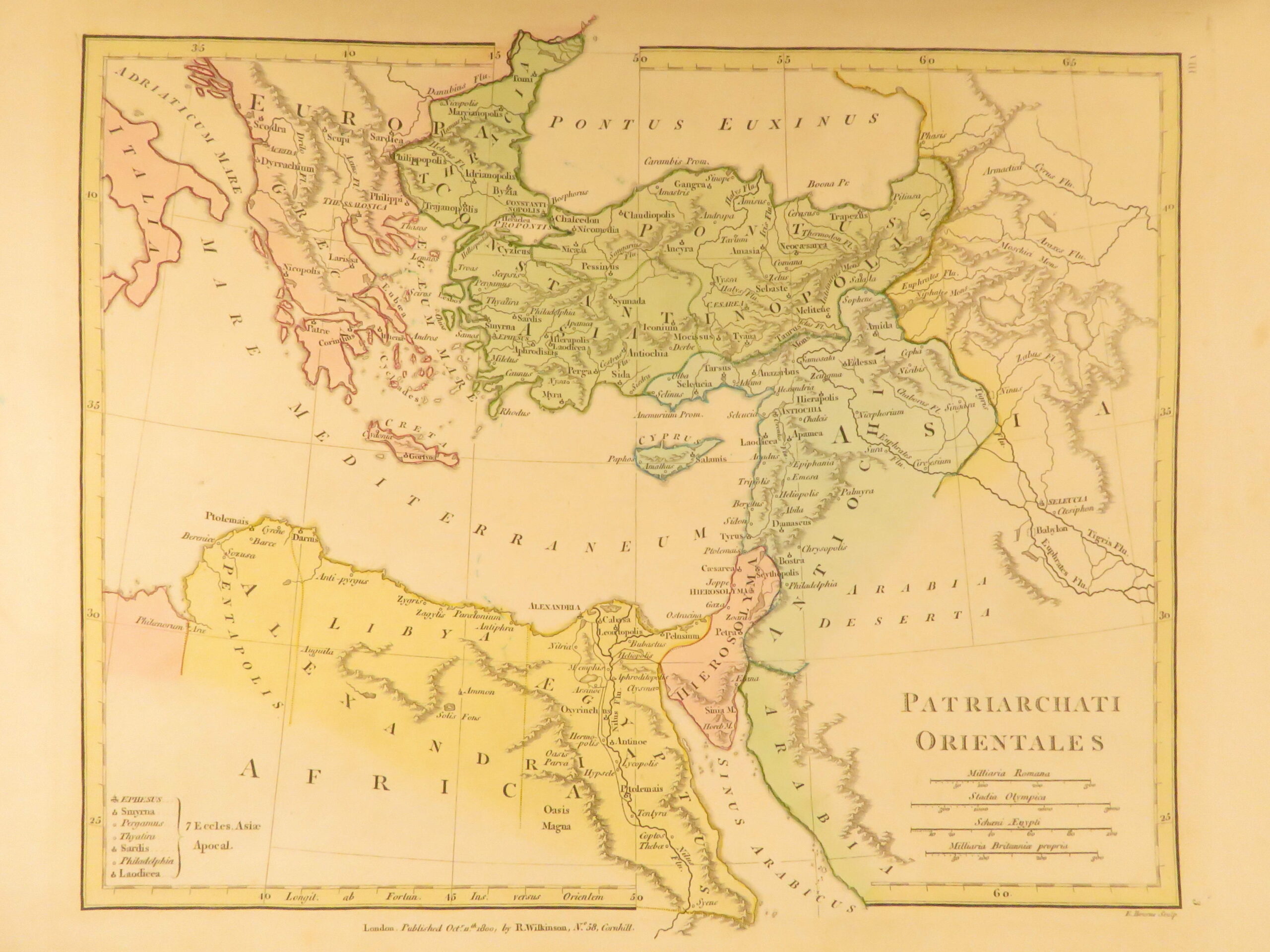
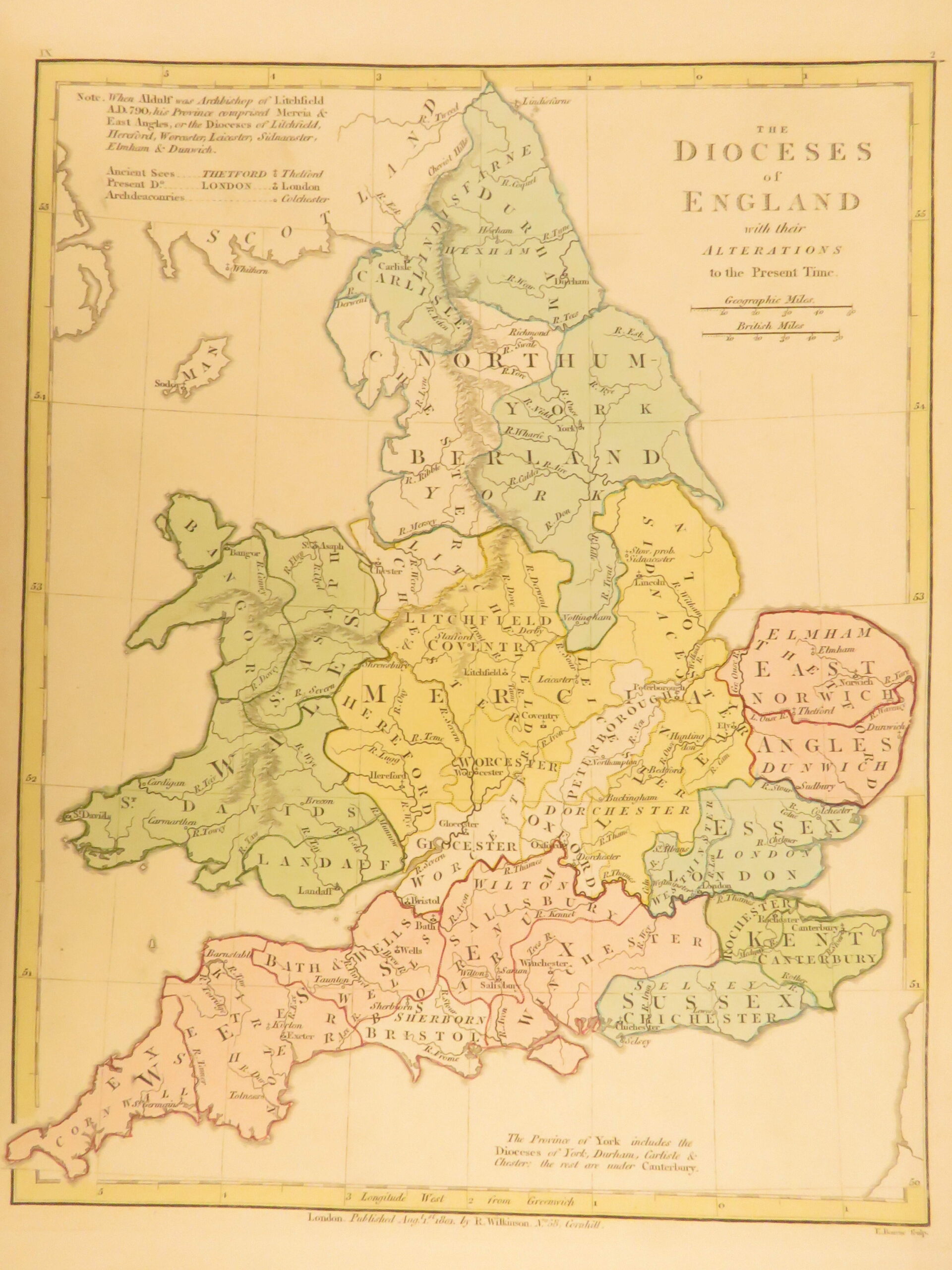
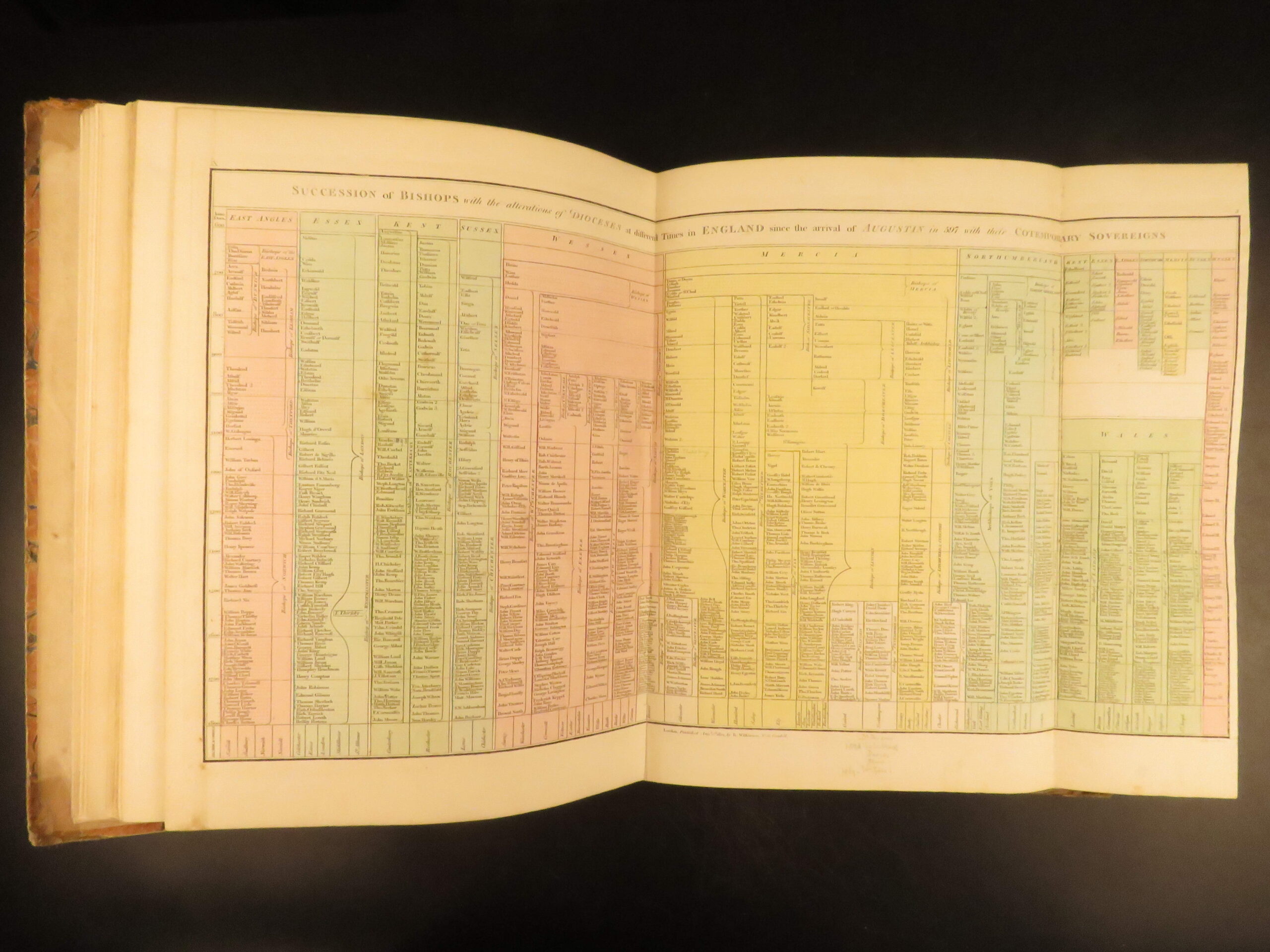
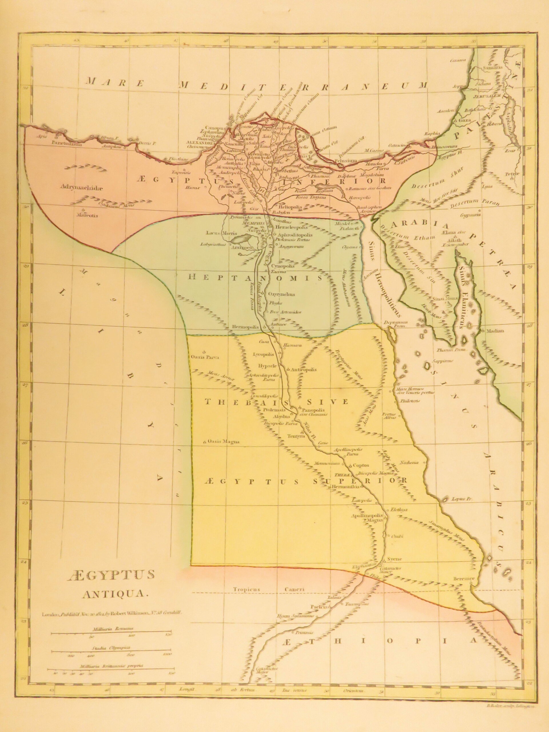
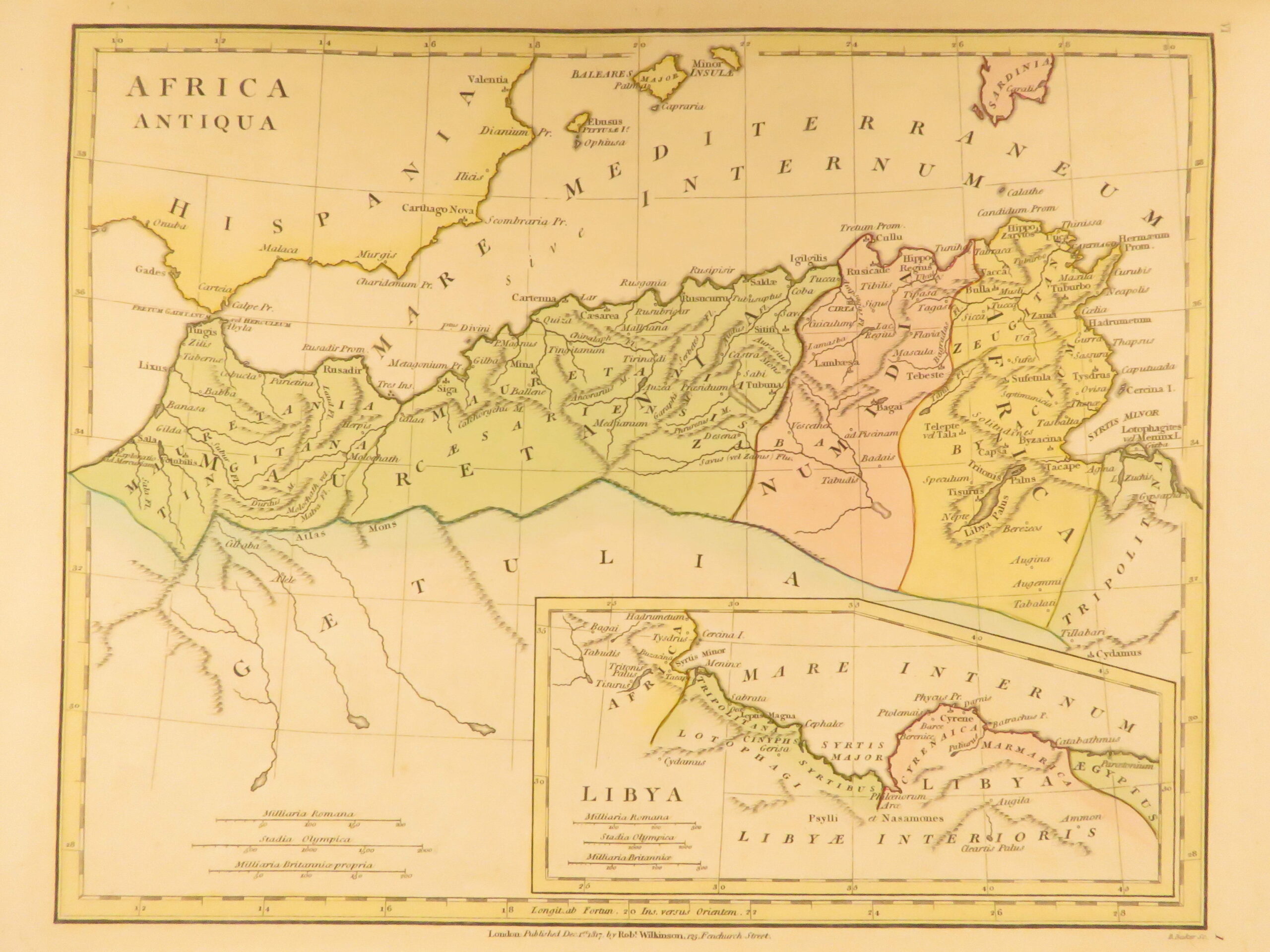
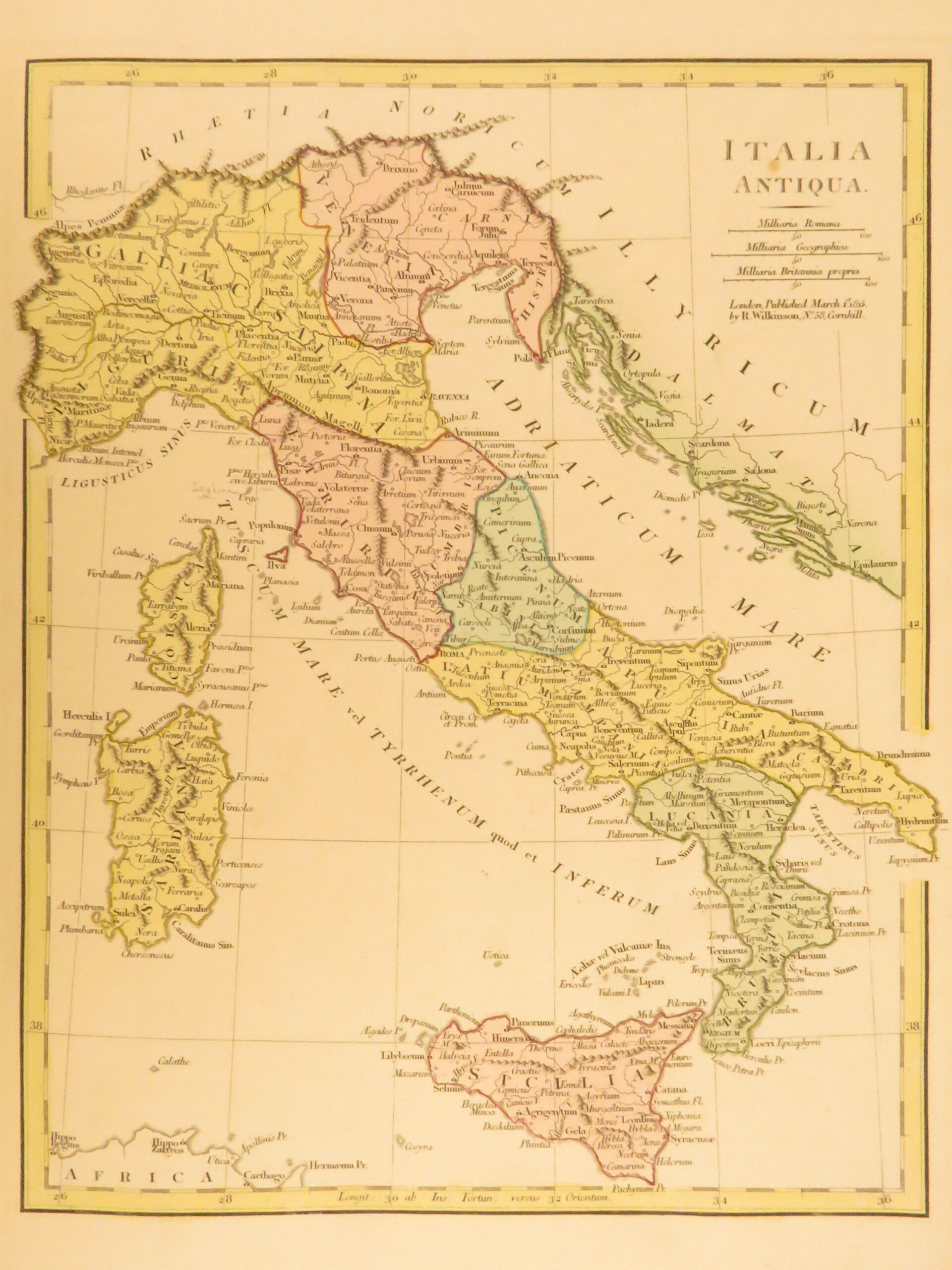
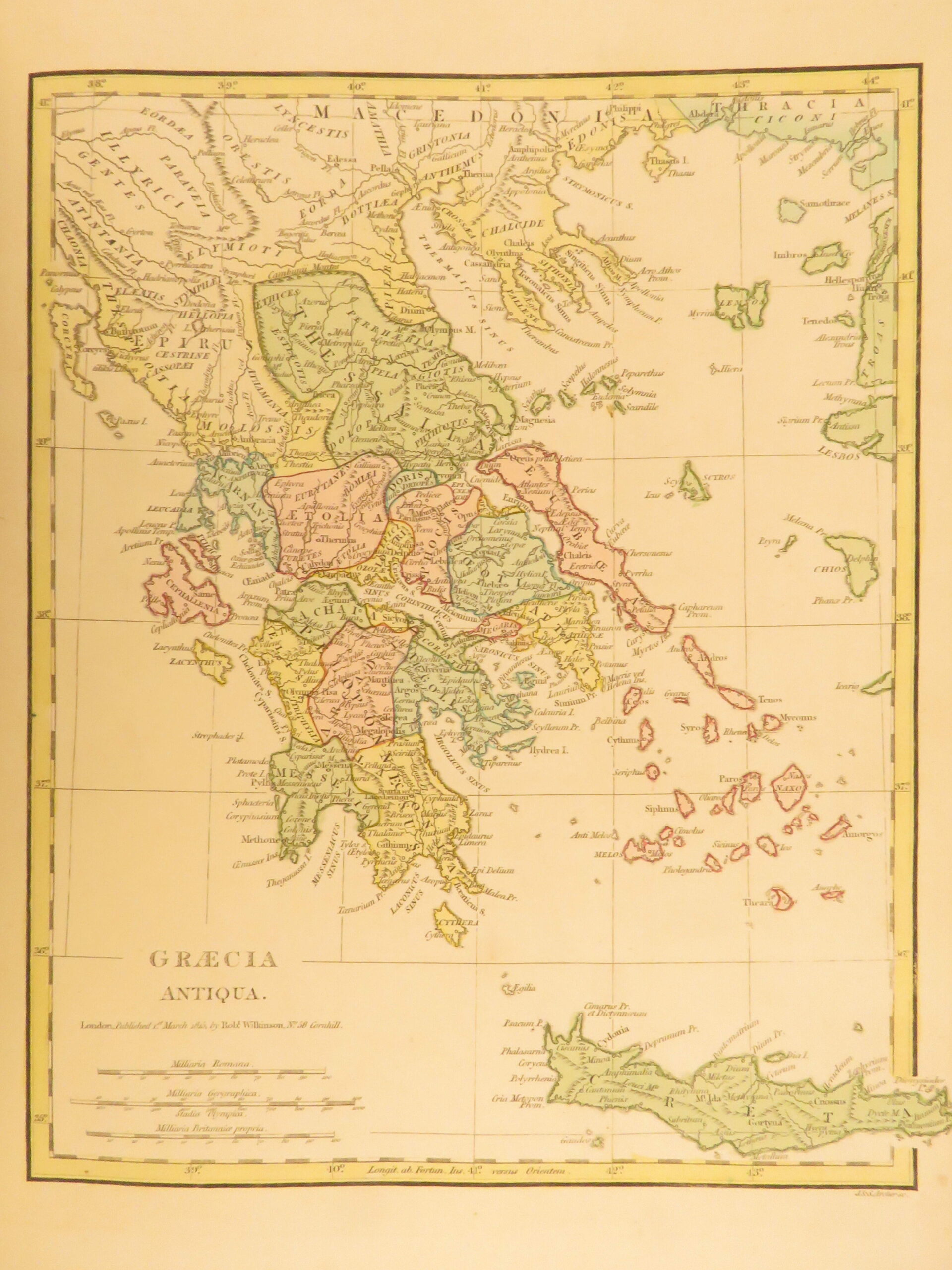
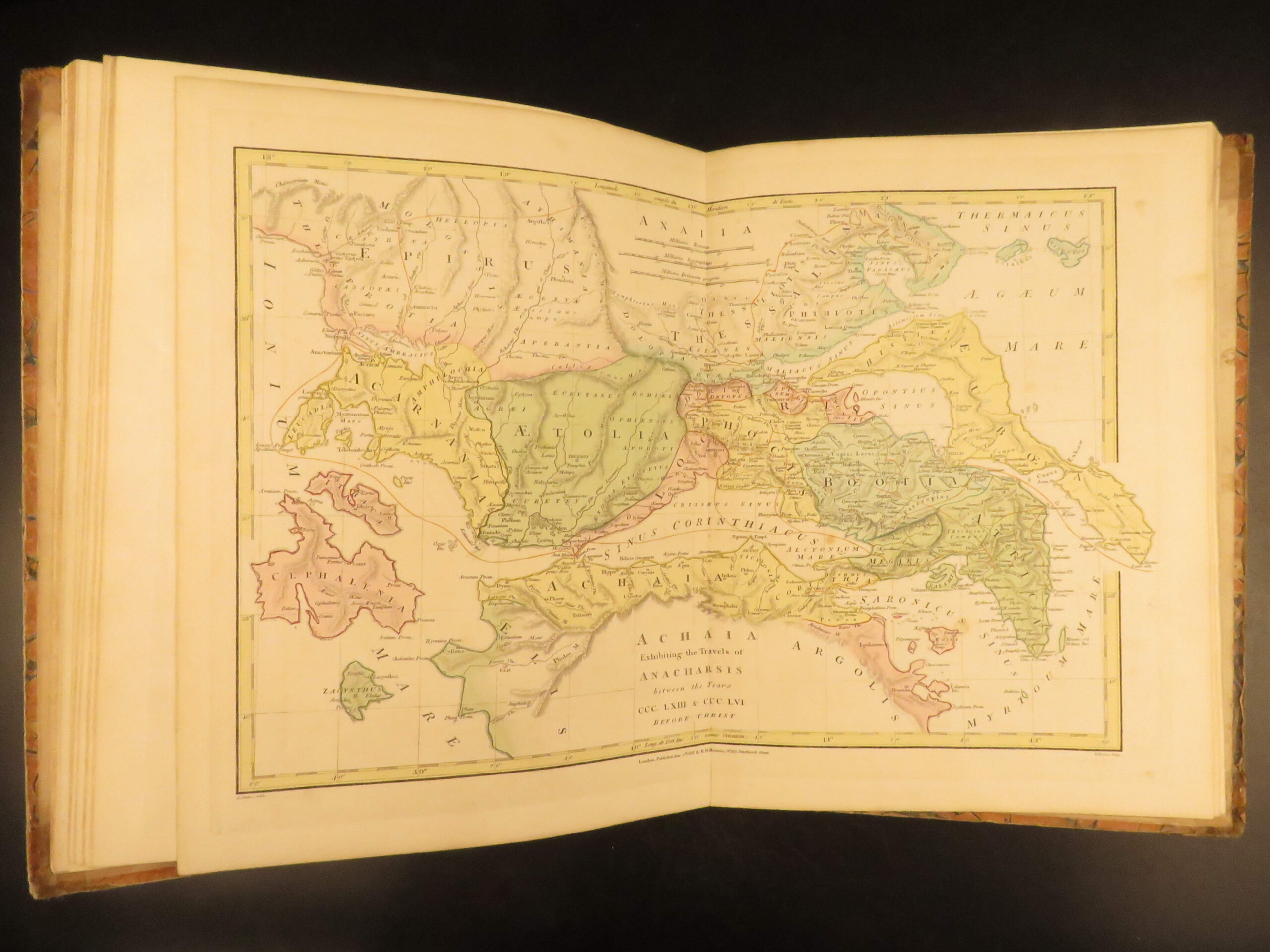
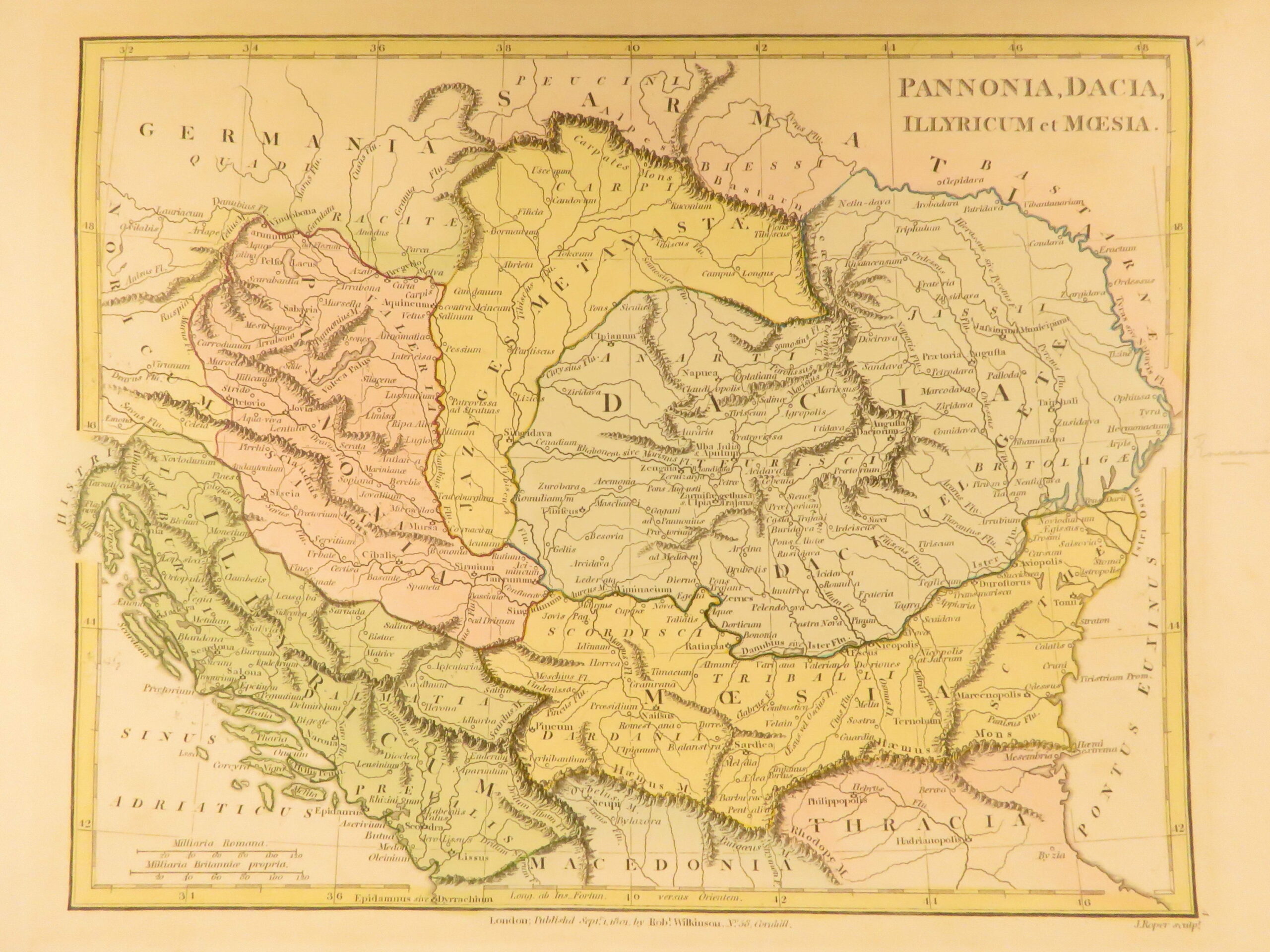
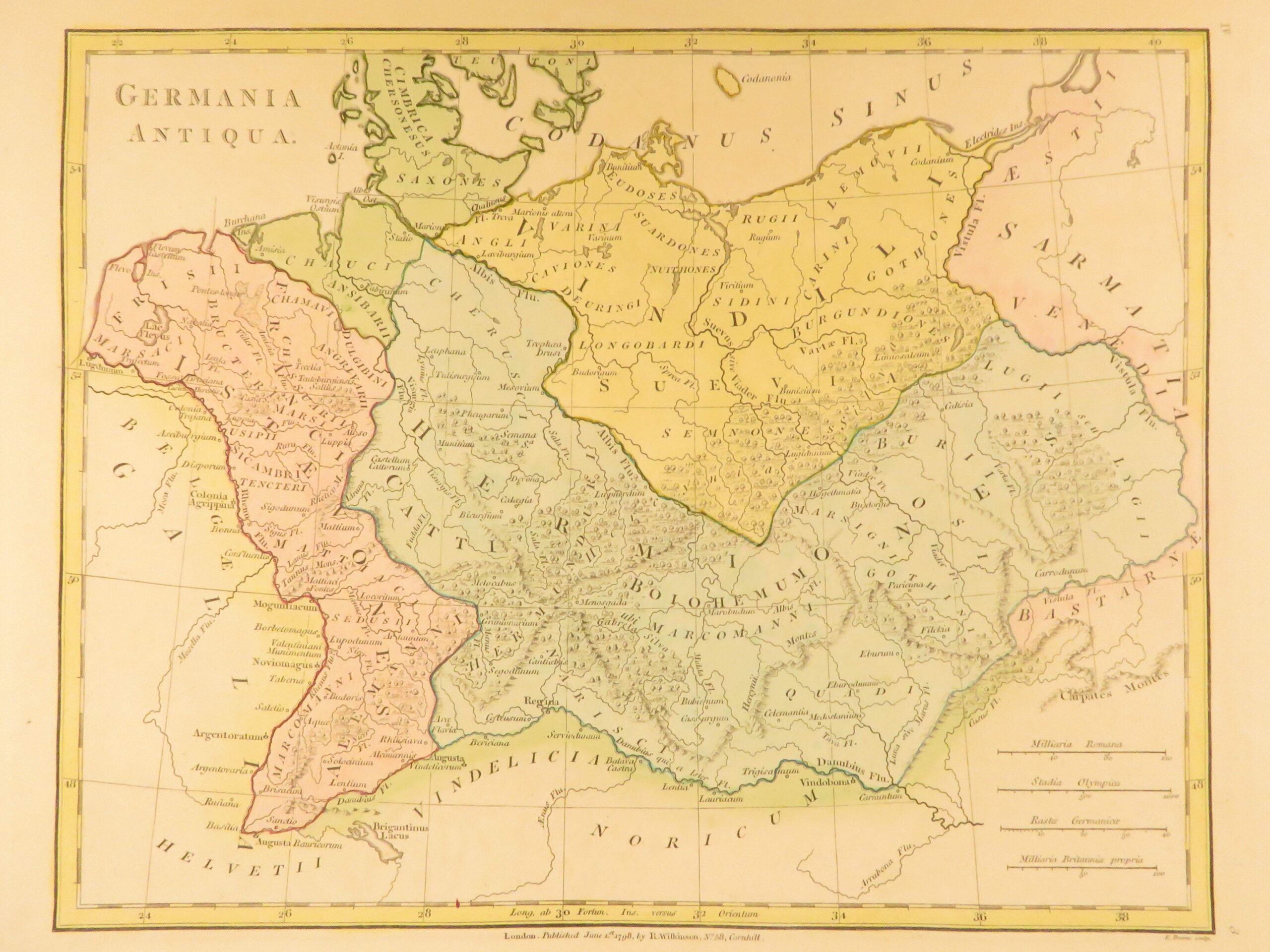
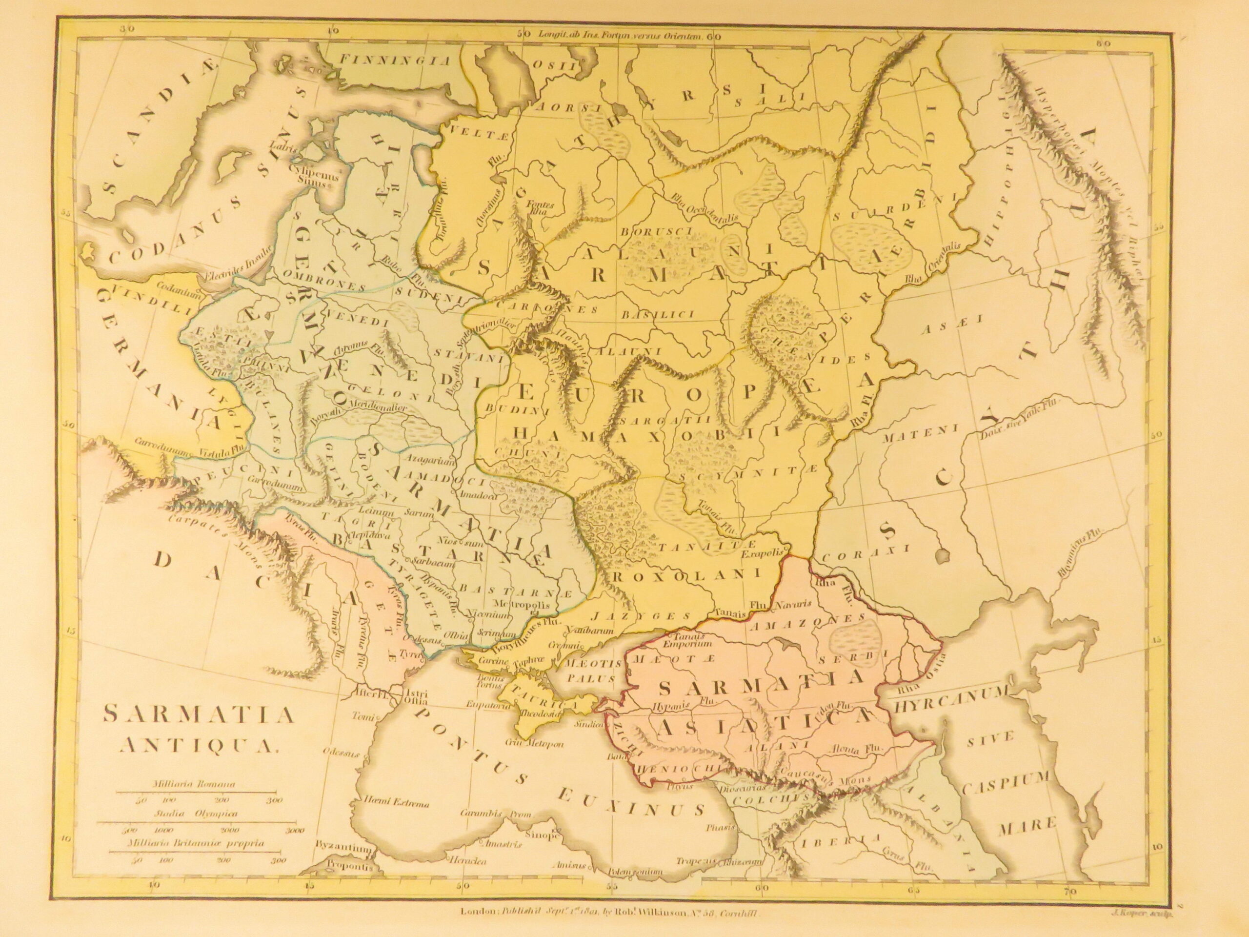
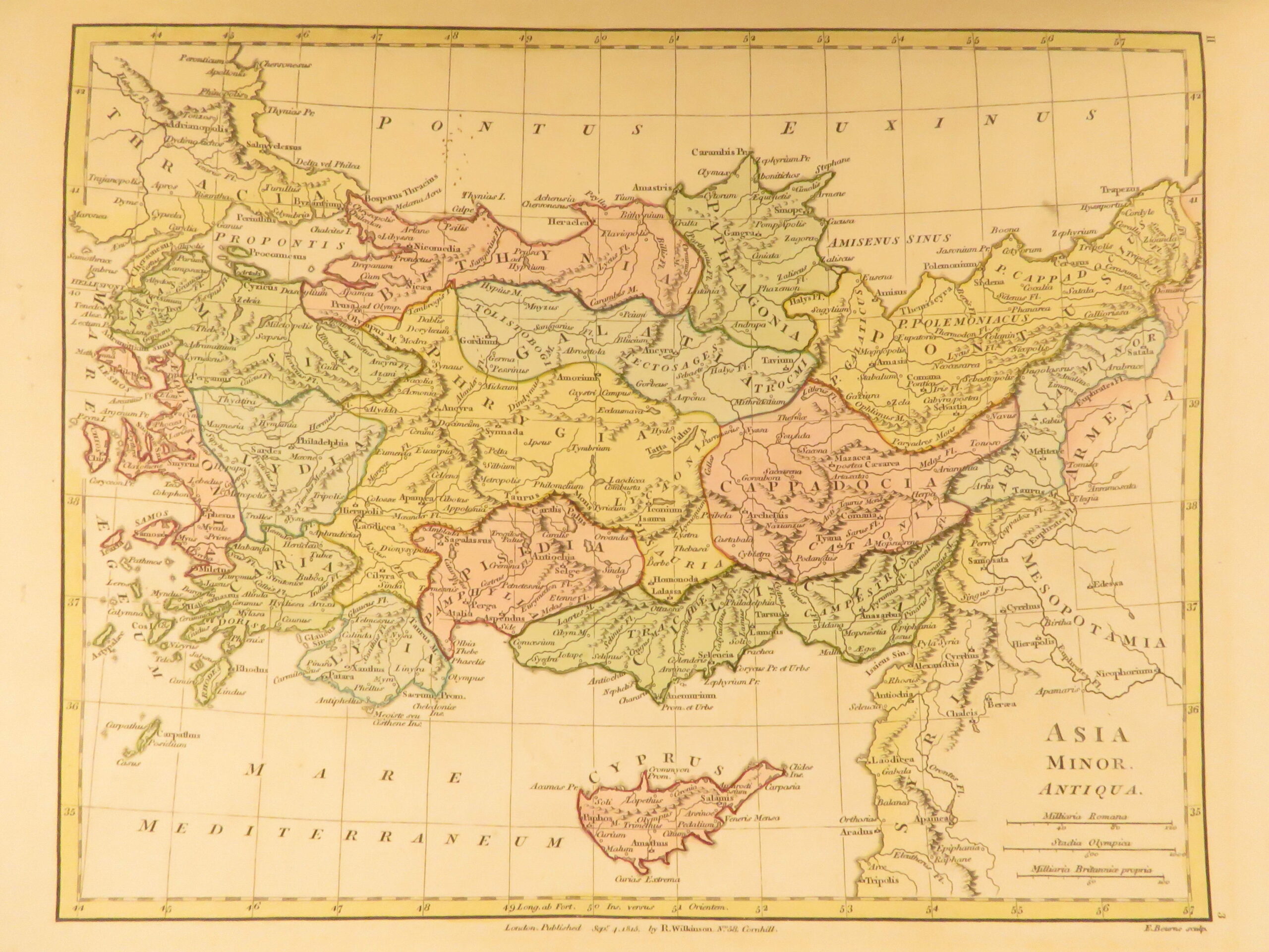
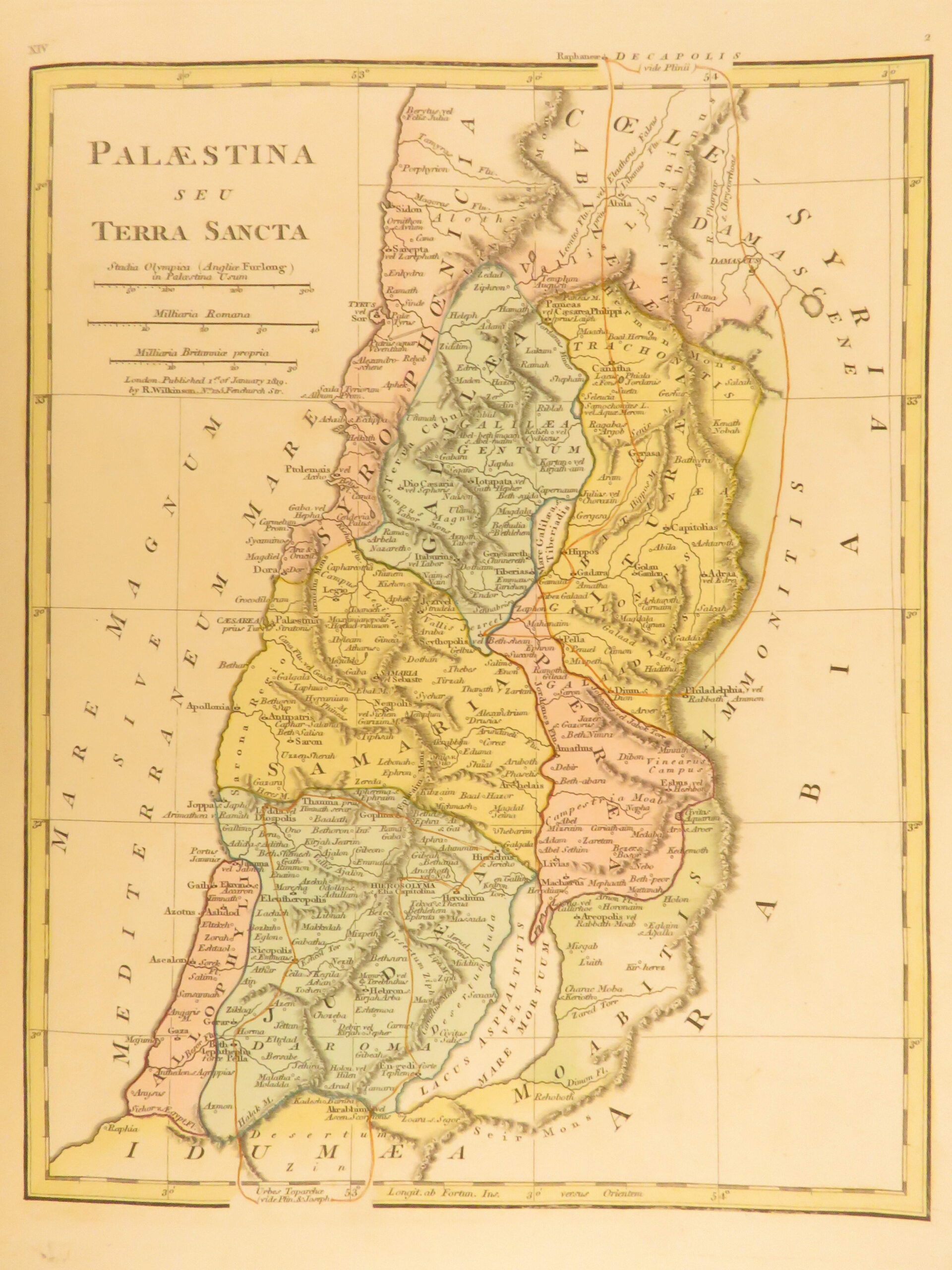
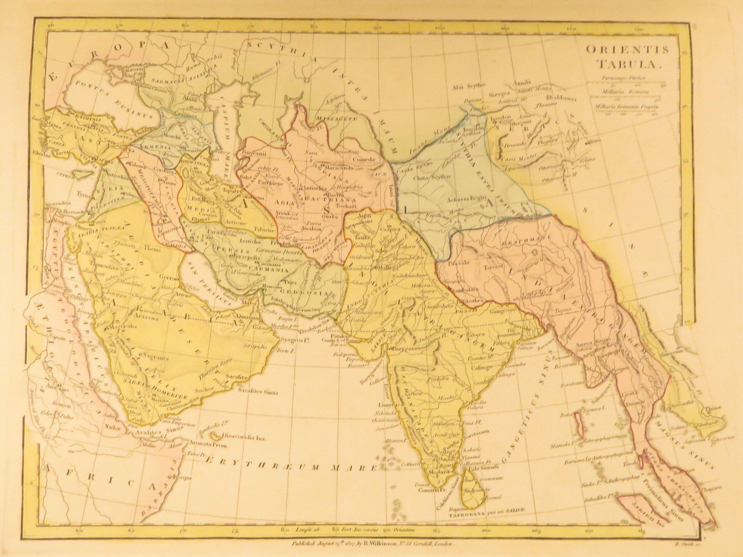
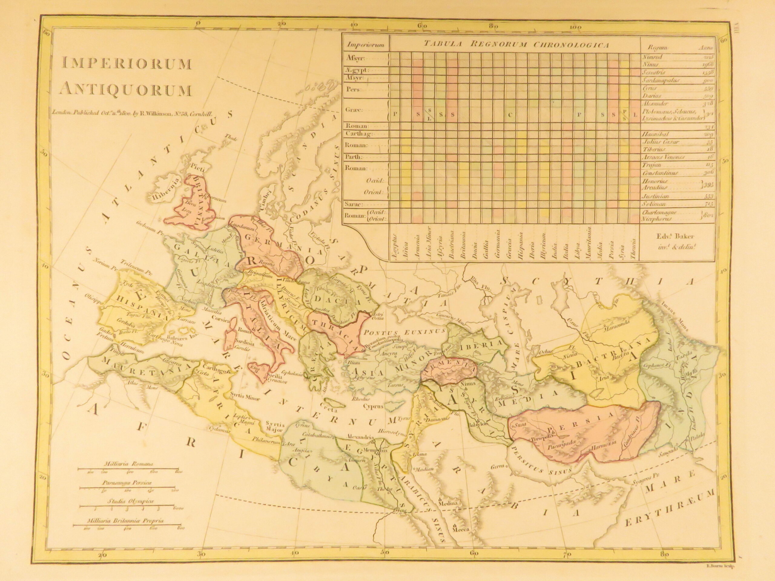
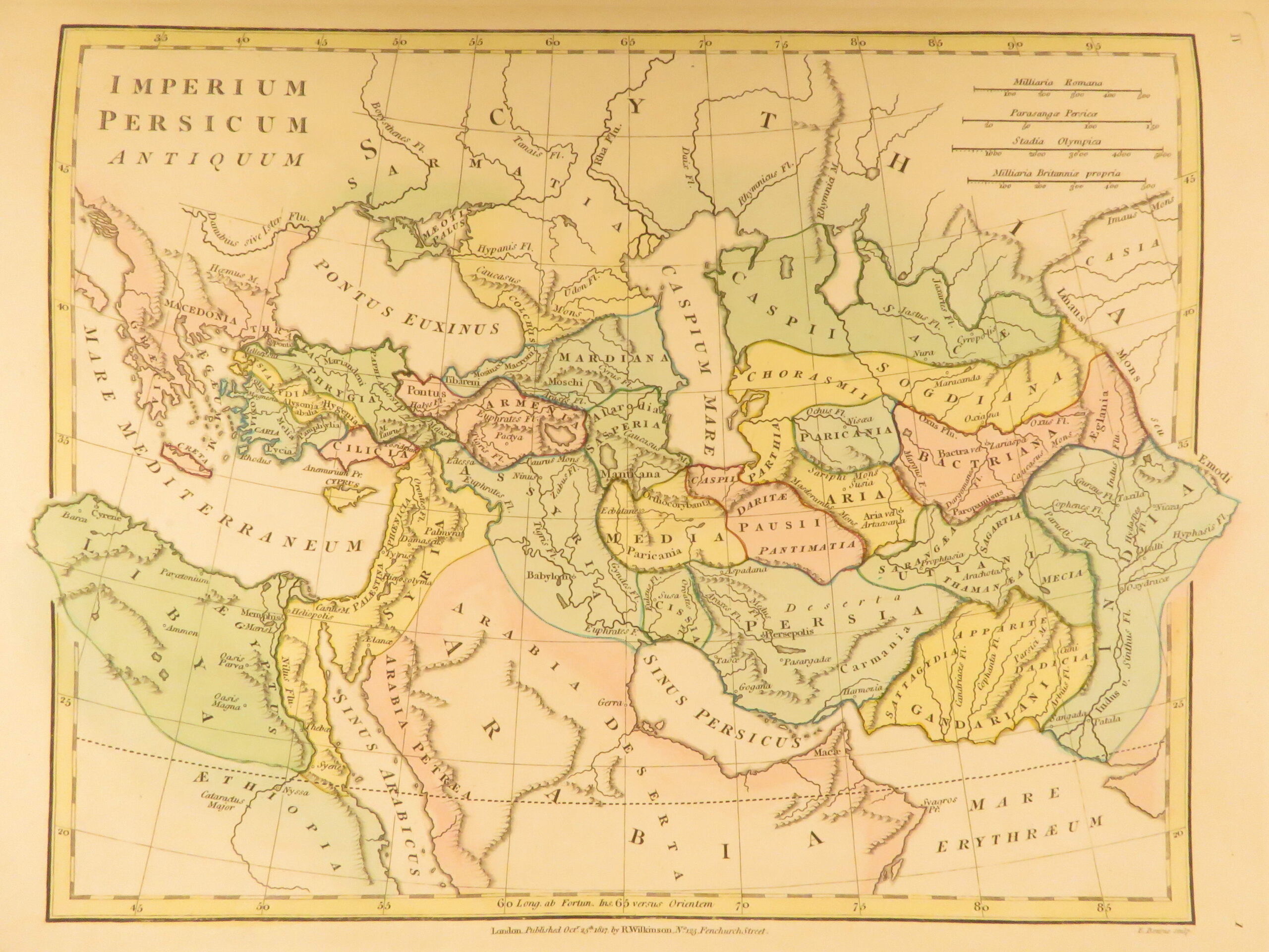
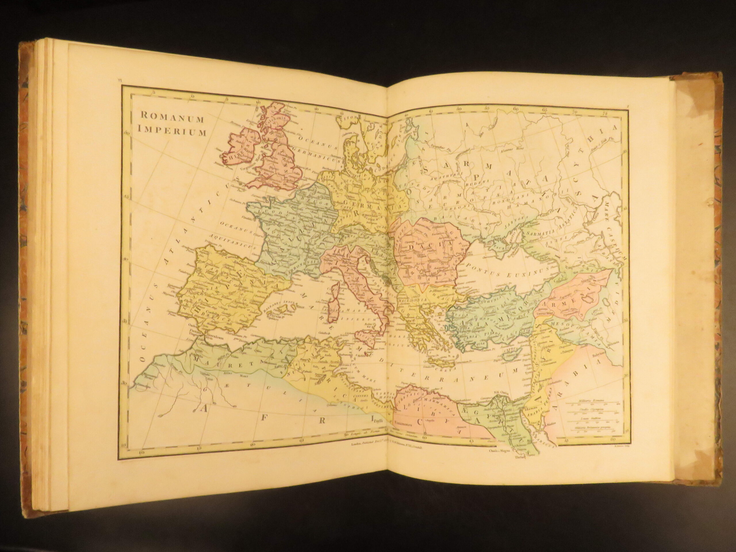
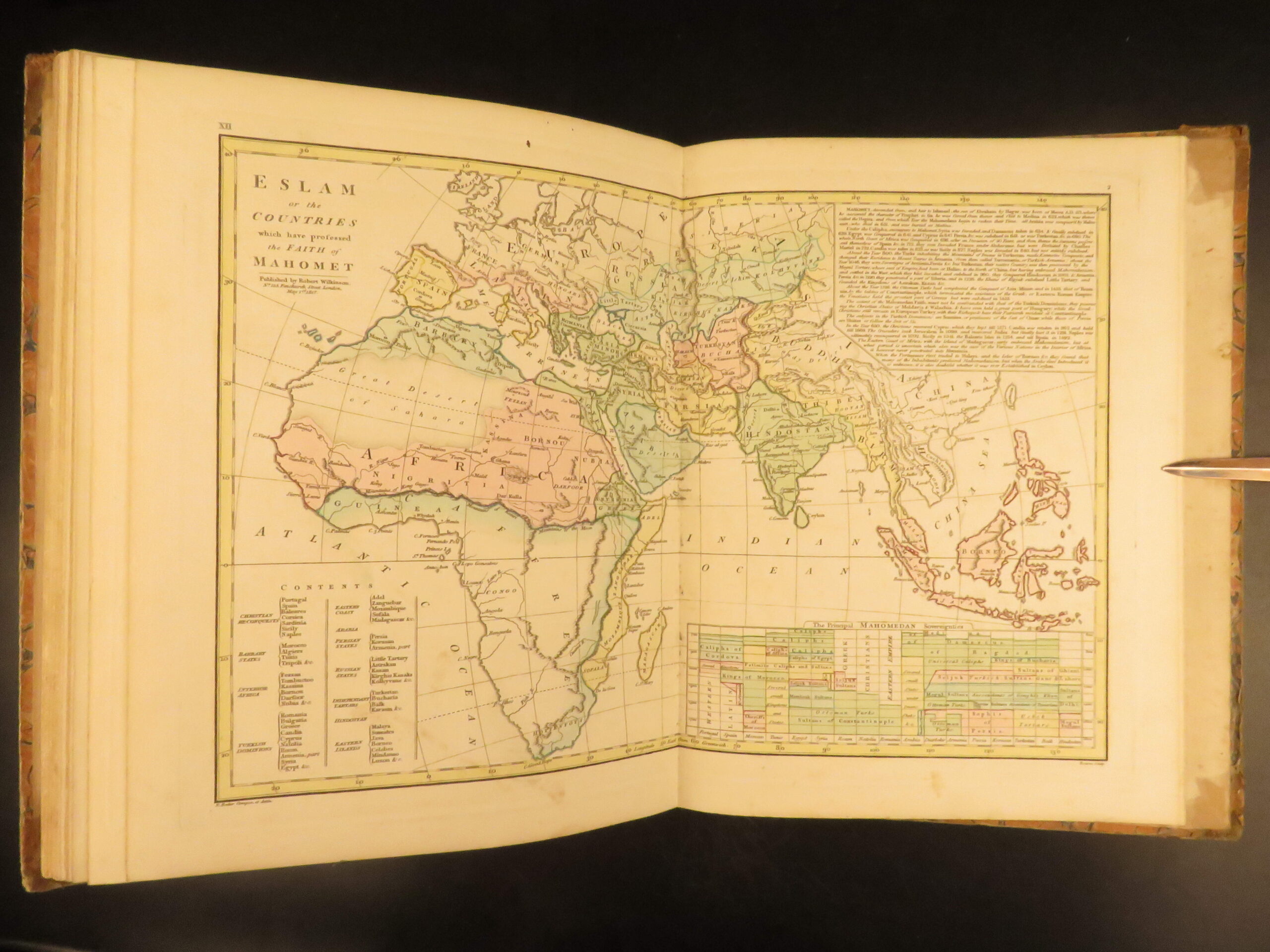
Atlas Classica by Robert Wilkinson is a folio-sized atlas published in London 1820. It includes 46 engraved maps, each beautifully hand-colored. This collection of maps includes views of Ancient Egypt, Greece, and Britain, as well as a map of the travels of Anacharsis. It also contains numerous maps of the Holy Land as it was at different points throughout the Bible.
Bibliographic Details
- Title: Atlas Classica: Being a Collection of Maps of the Countries Mentioned by the Ancient Authors
- Author(s): Robert Wilkinson
- Publisher: London, Robert Wilkinson
- Edition: 1820 edition.
- Format: Folio, single volume
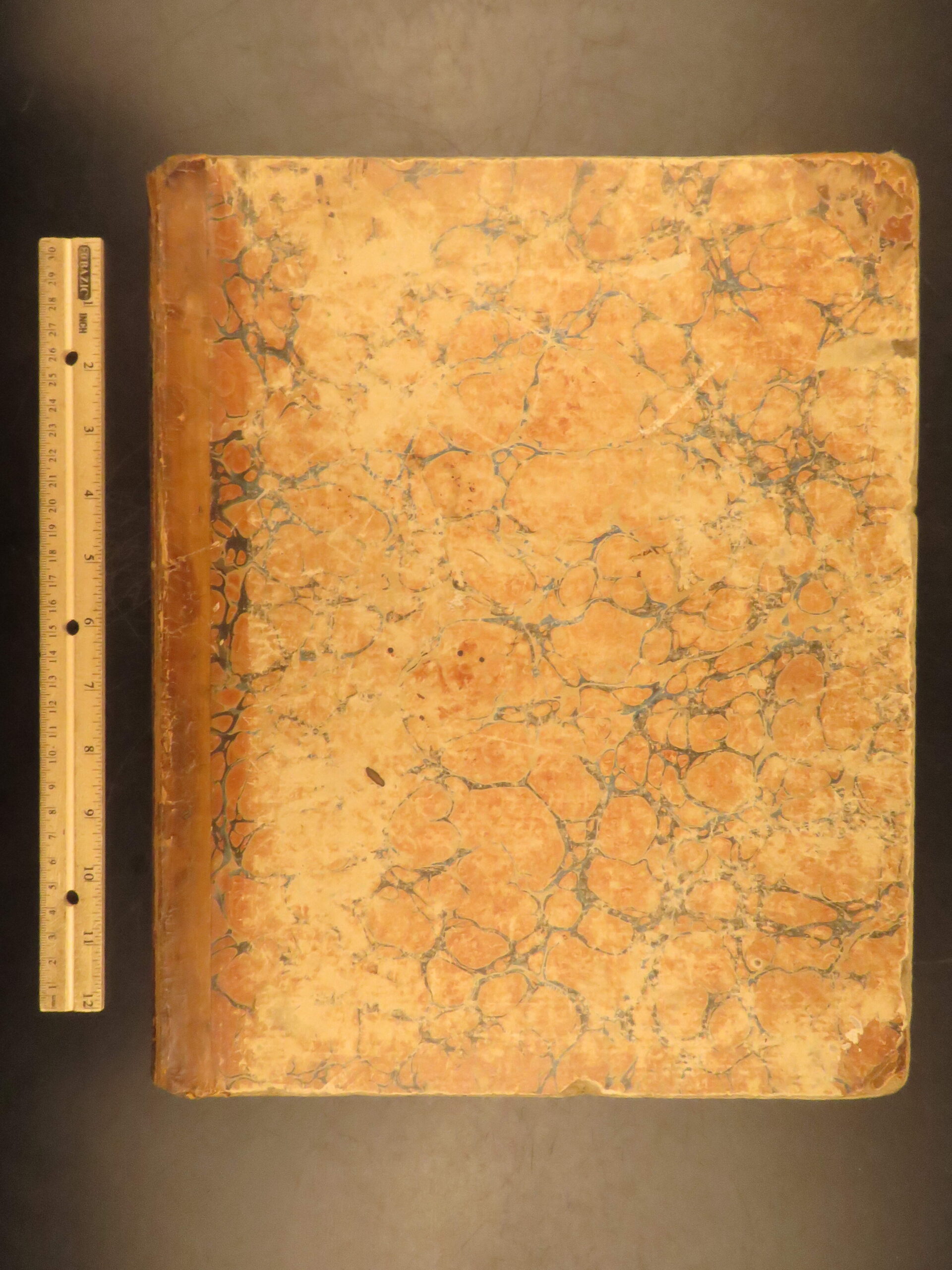
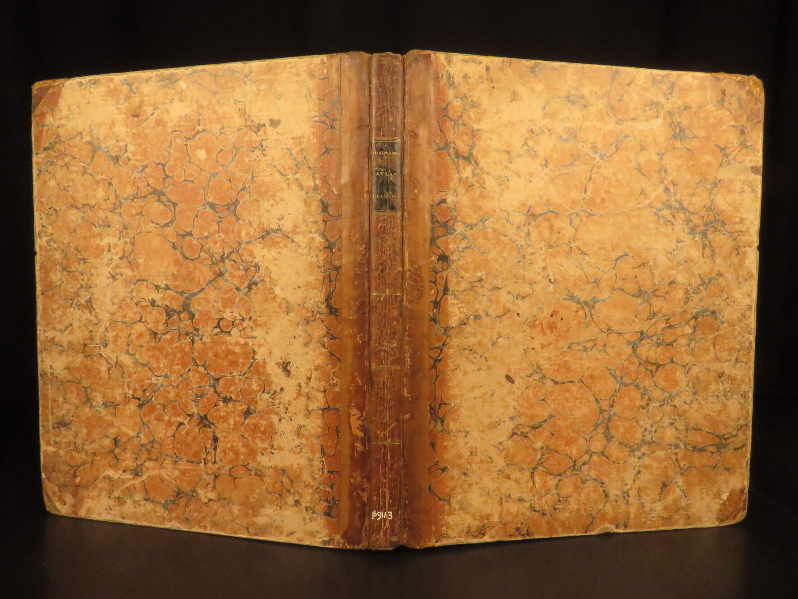
- Binding: Marbled boards, leather spine
- Size: 13.75 in x 11.25 in (35 cm x 28.5 cm)
- Collation: 46 maps
- Illustrations: 46 hand-colored engraved maps
- Contents Include:
- Ancient Egypt
- Ancient Greece
- Travels of Anacharsis
- Ancient Britain
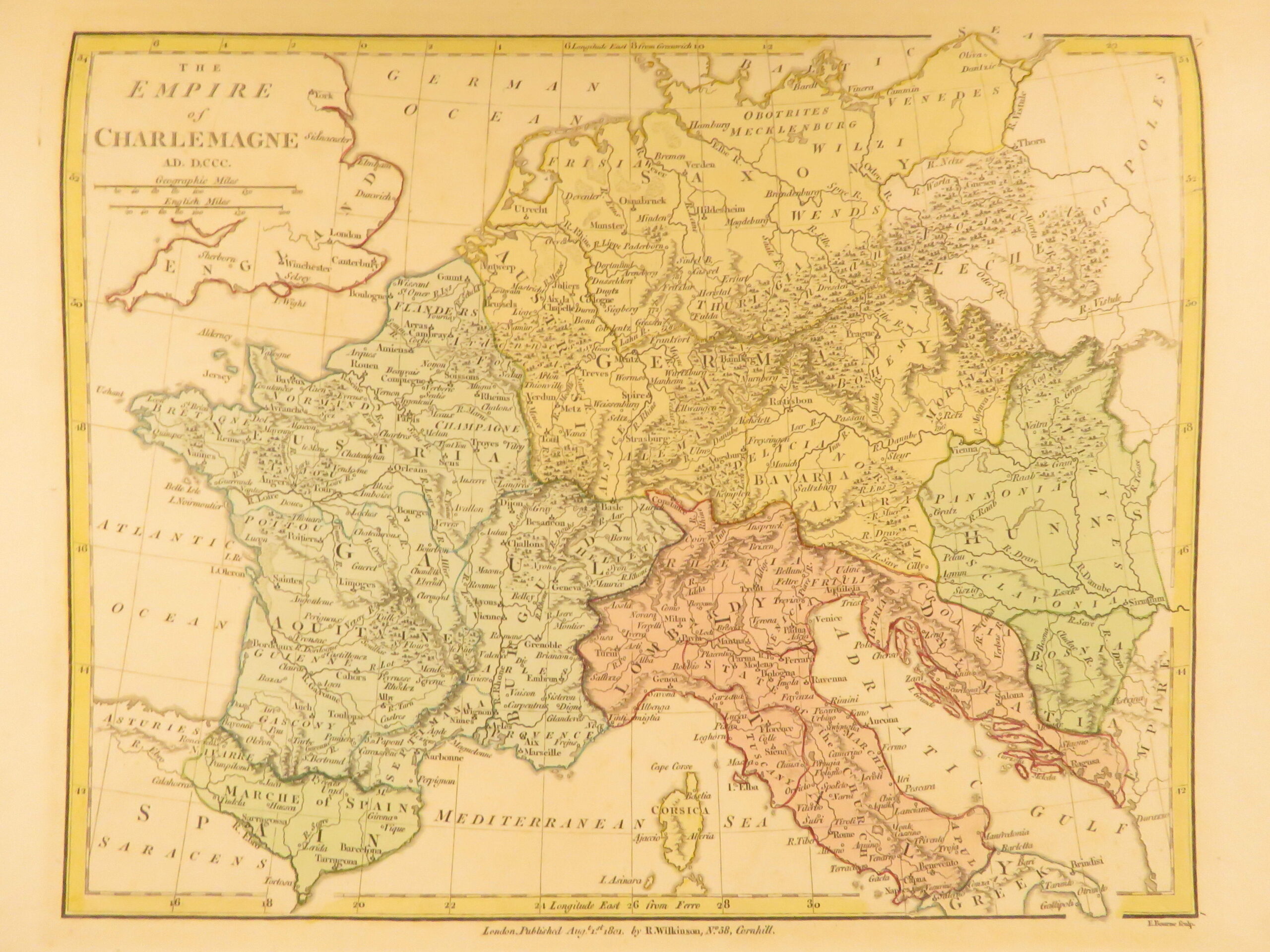
- Empire of Charlemagne
- Saxon England
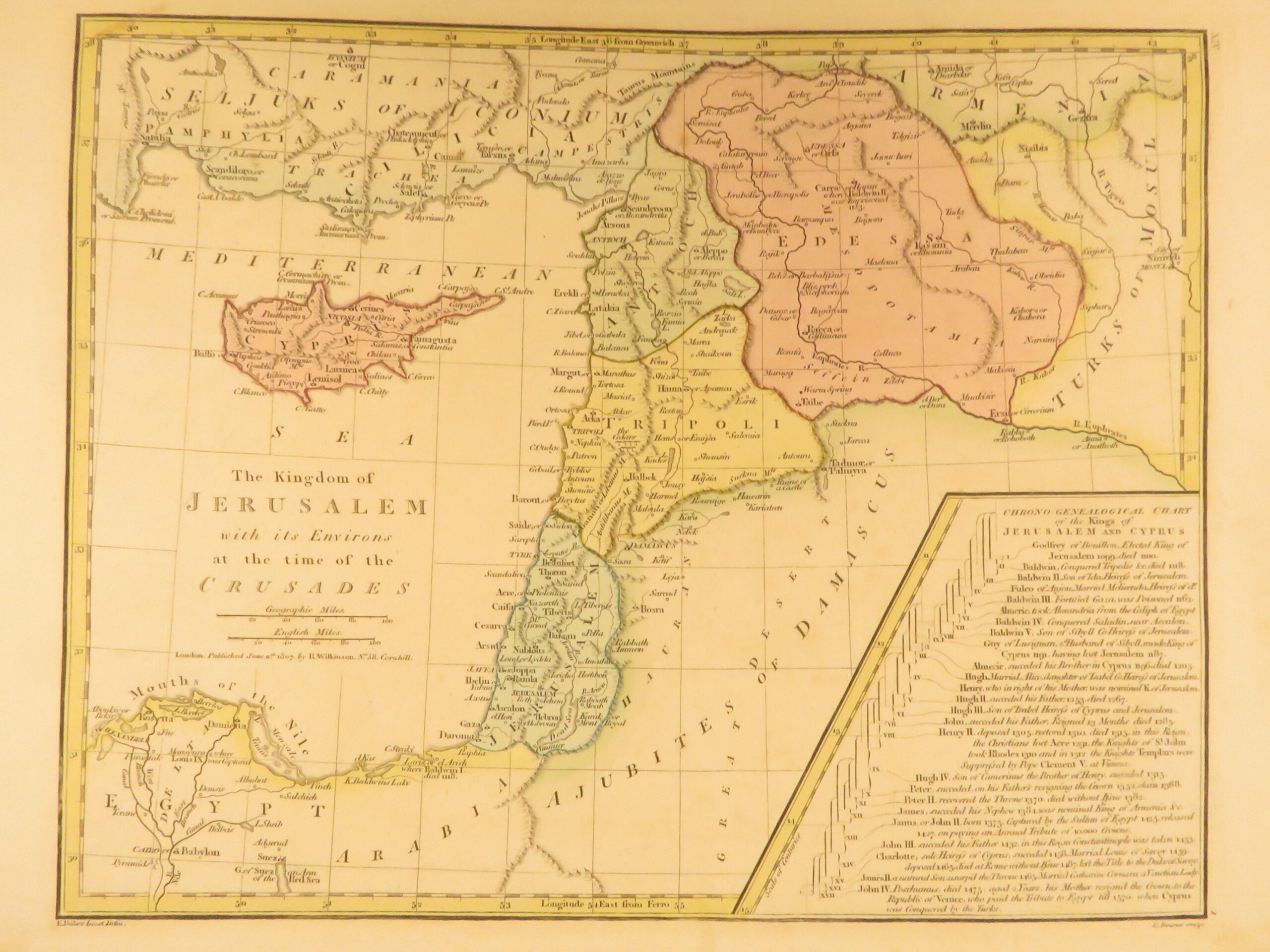
- Kingdom of Jerusalem
- The Promised Land / Holy Land
Condition:
Very Good. Marbled boards show moderate wear at the corners. The professionally restored spine is stable and secure. All 46 maps are present, clean, and hand-colored. Mild toning present throughout.
Why Collect This?
- Complete example of an early 19th-century historical atlas
- 46 hand-colored maps, many double-page; folding charts
Item Number: # 29431
Categories
Classical Greco-Roman
European History
Maps
Voyages & Exploration & Maps
Authors
Robert Wilkinson
Printing Date
19th Century
Language
English
Binding
Hardcover
Book Condition
Very Good
Collation
Complete
Other Books you might like...
-
Sale!
 Add to cart
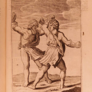
1673 ENGLISH Juvenal Persius SATIRES Stoic Philosophy Illustrated Oxford Holyday
Original price was: $950.00.$850.00Current price is: $850.00. -
Sale!
 Add to cart
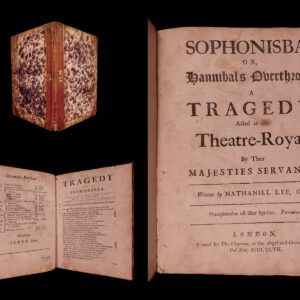
1697 Sophonisba Nathaniel Lee Restoration English Theatre Hannibal Carthage ROME
Original price was: $599.00.$550.00Current price is: $550.00. -
Sale!
![Justinus. Trogi Pompeii historiarum Philippicarum epitoma: ex manuscriptis codicibus emendatior et prologis auctior. In eandem notæ, excerptiones chronologicæ et variarum lectionum libellus. [Edited by J. Bongarsius.] L.P. Pompey Trogus.](https://www.schilbantiquarian.com/wp-content/uploads/2019/02/Pompeii-Historiarum-Trogus-1581-0-300x300.jpg) Add to cart
Add to cart1581 Pompey Trogus Macedonia ROME Justin Nineveh Bongars Universal Histories
Original price was: $599.00.$550.00Current price is: $550.00. -
Sale!
 Add to cart
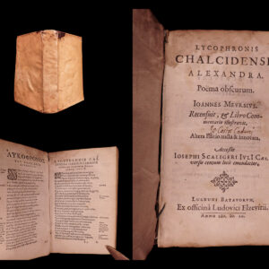
1599 Lycophron Alexandra Greek Poem Byzantine Mythology Scaliger Meursius ELZEVIR
Original price was: $950.00.$750.00Current price is: $750.00.