Topographia Galliæ – Zeiller & Merian – 1662 | Guienne Maps & Descriptions

Topographia Galliæ, printed in Amsterdam in 1662 by Joost Broersz. and Casper Merian, surveys the provinces of southern France with texts and one engraved foldout map of Guienne and Gascogne.
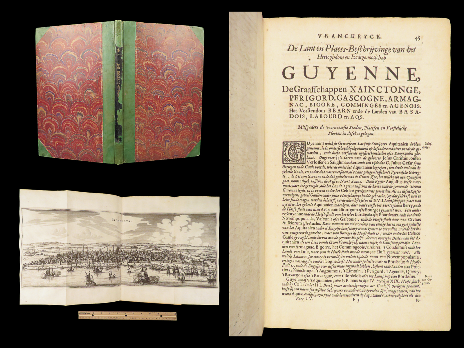
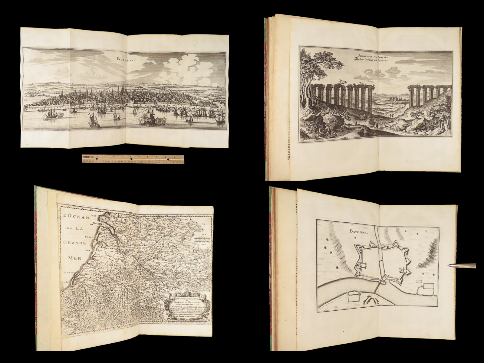
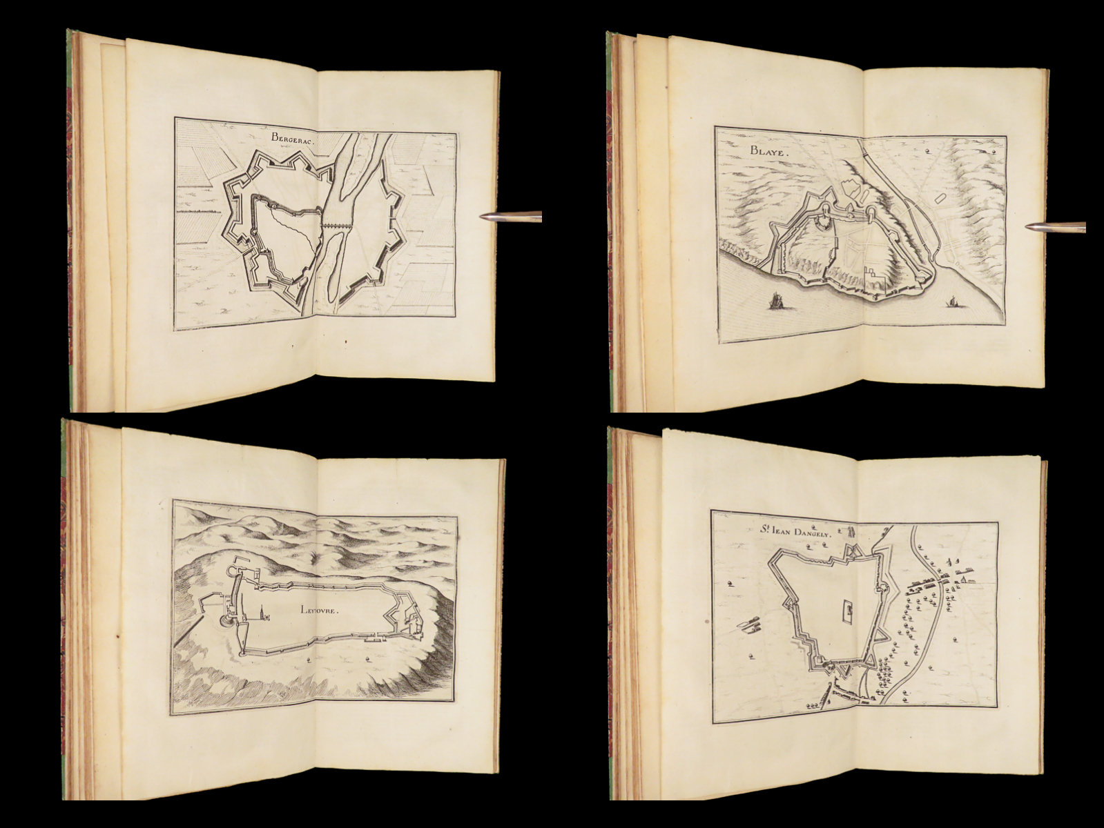
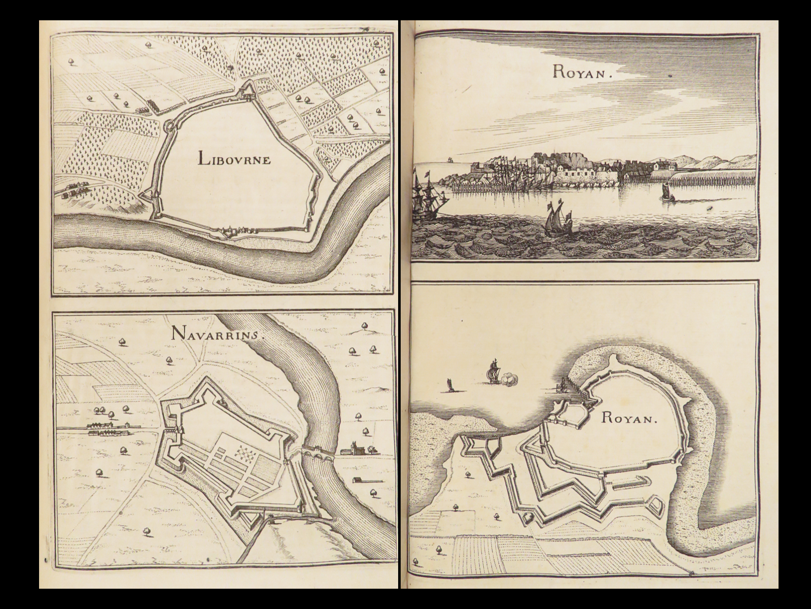
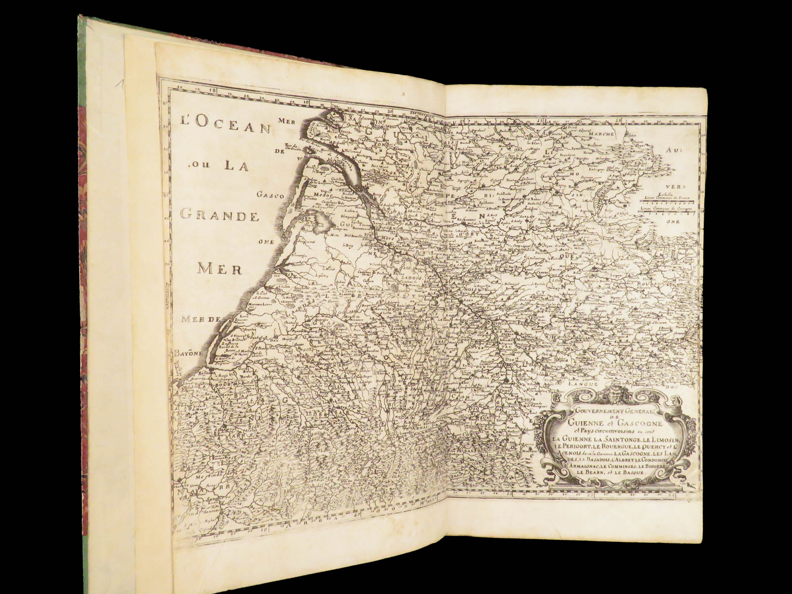
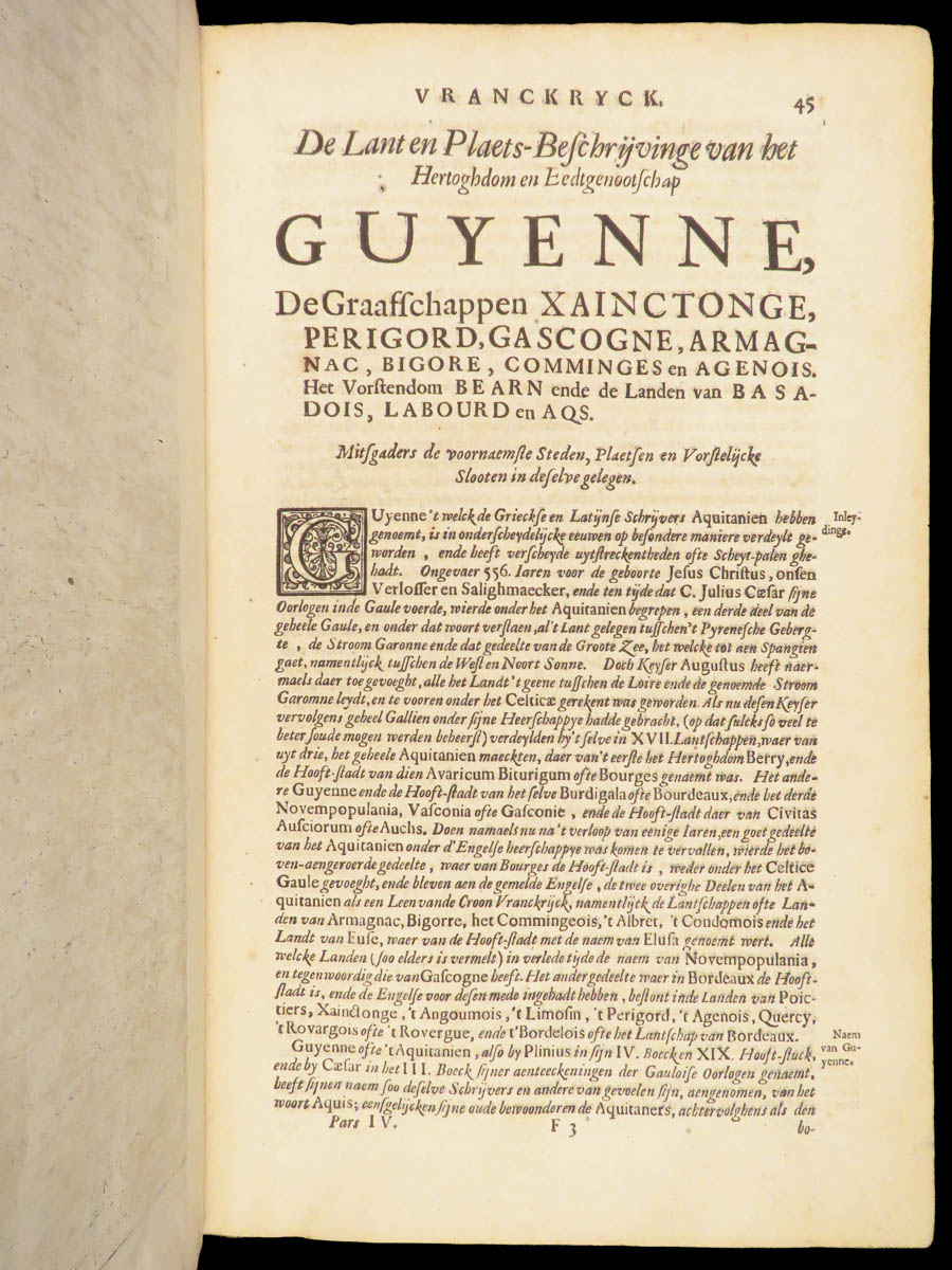
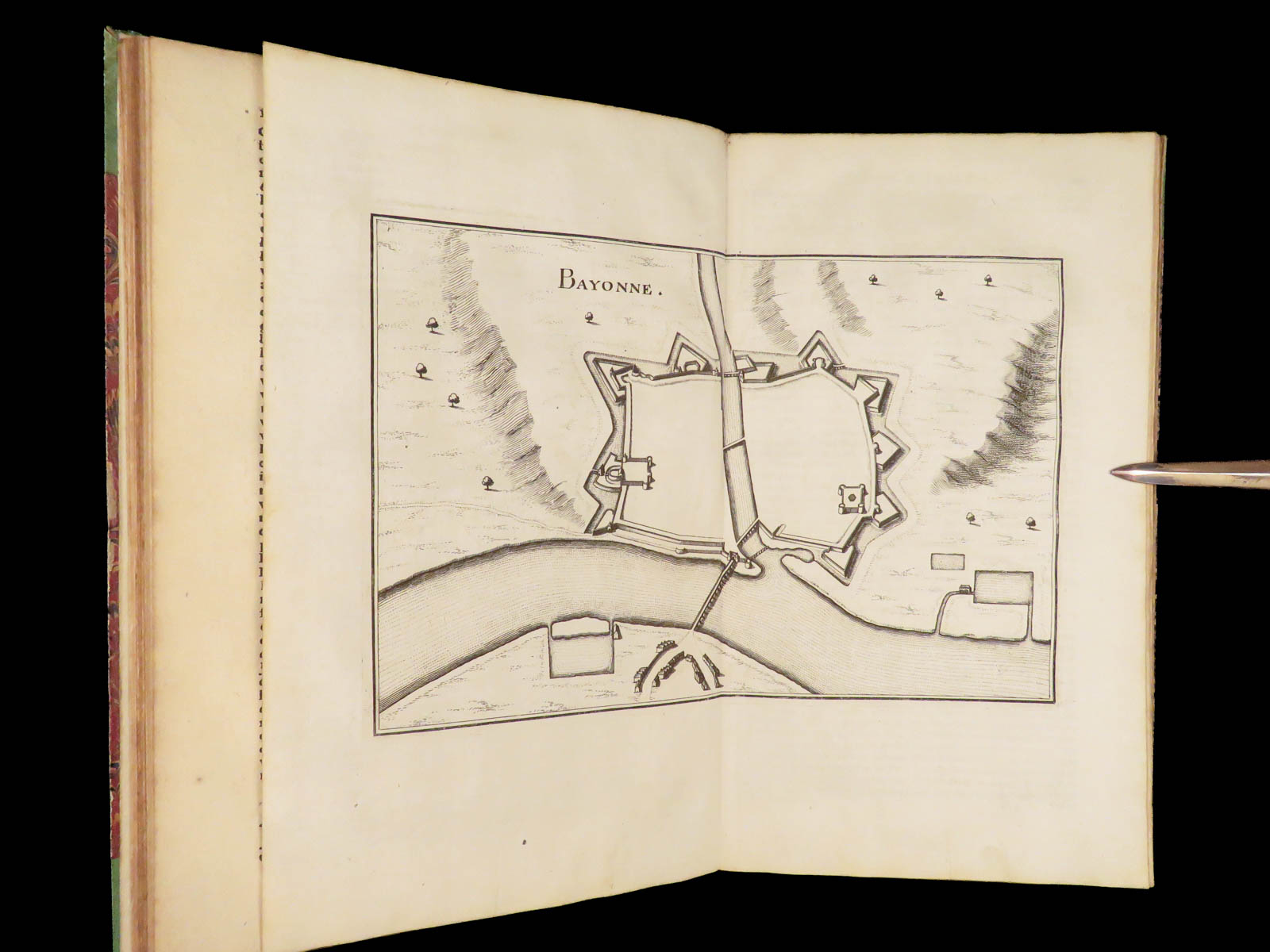
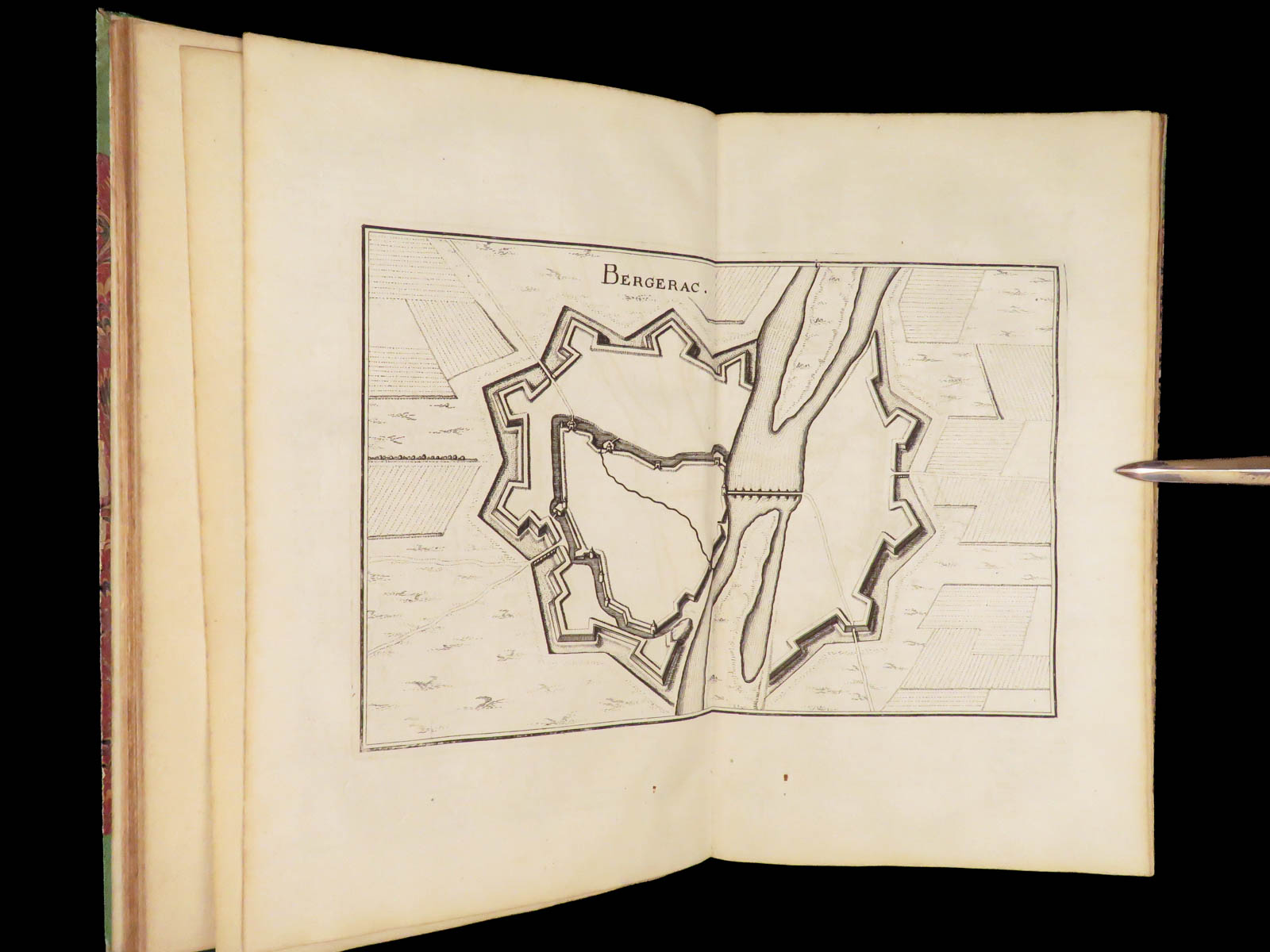
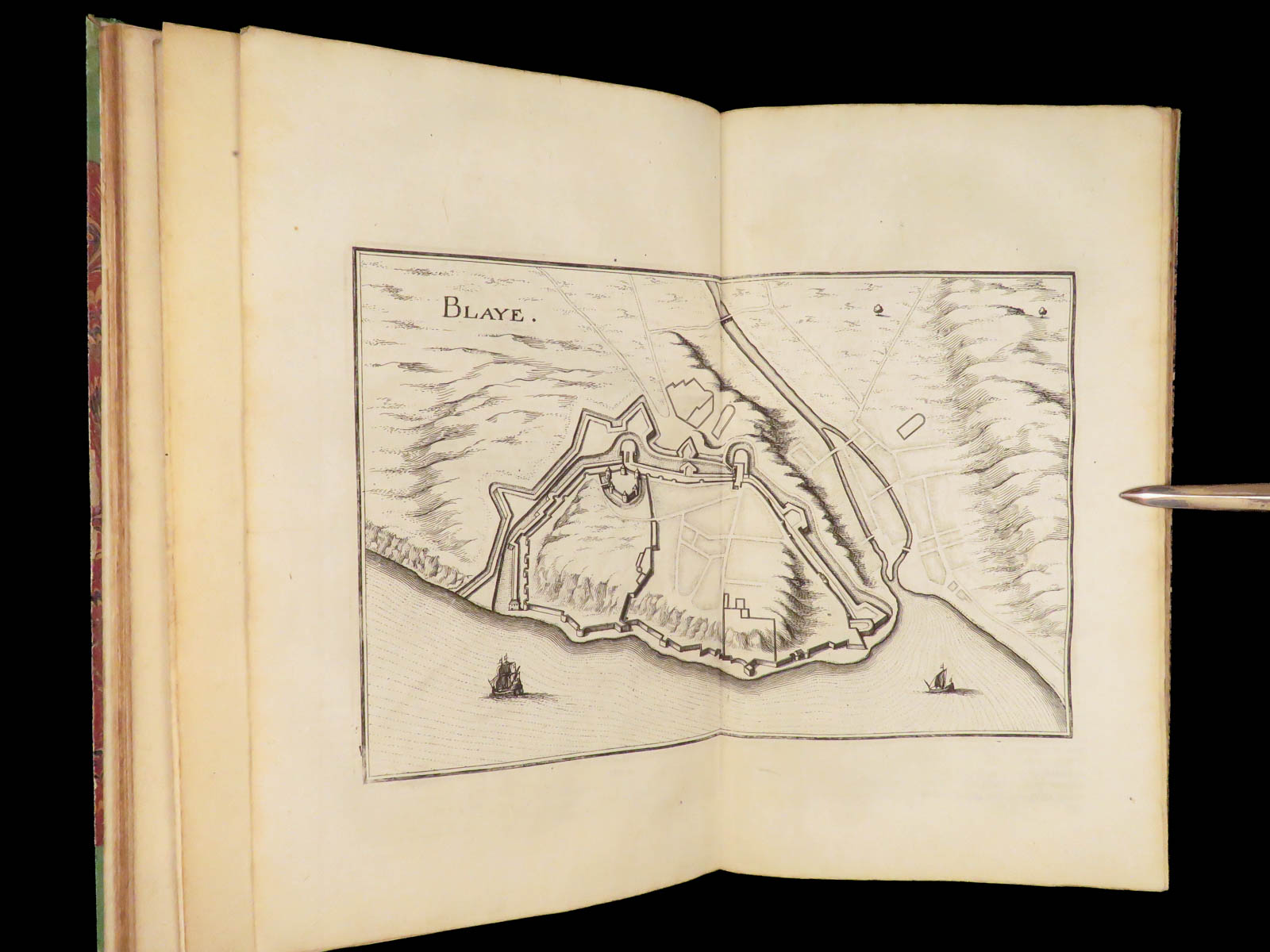
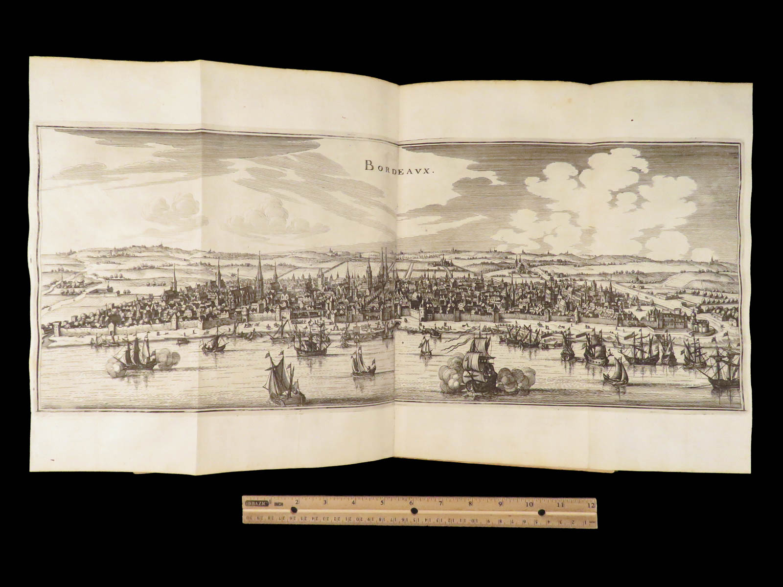
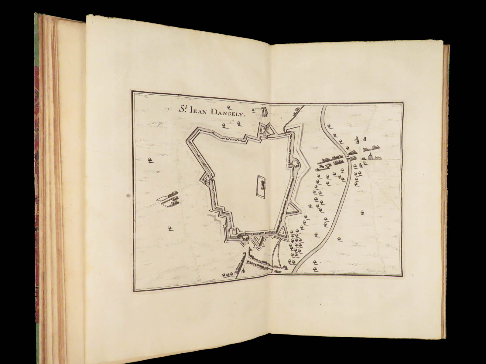
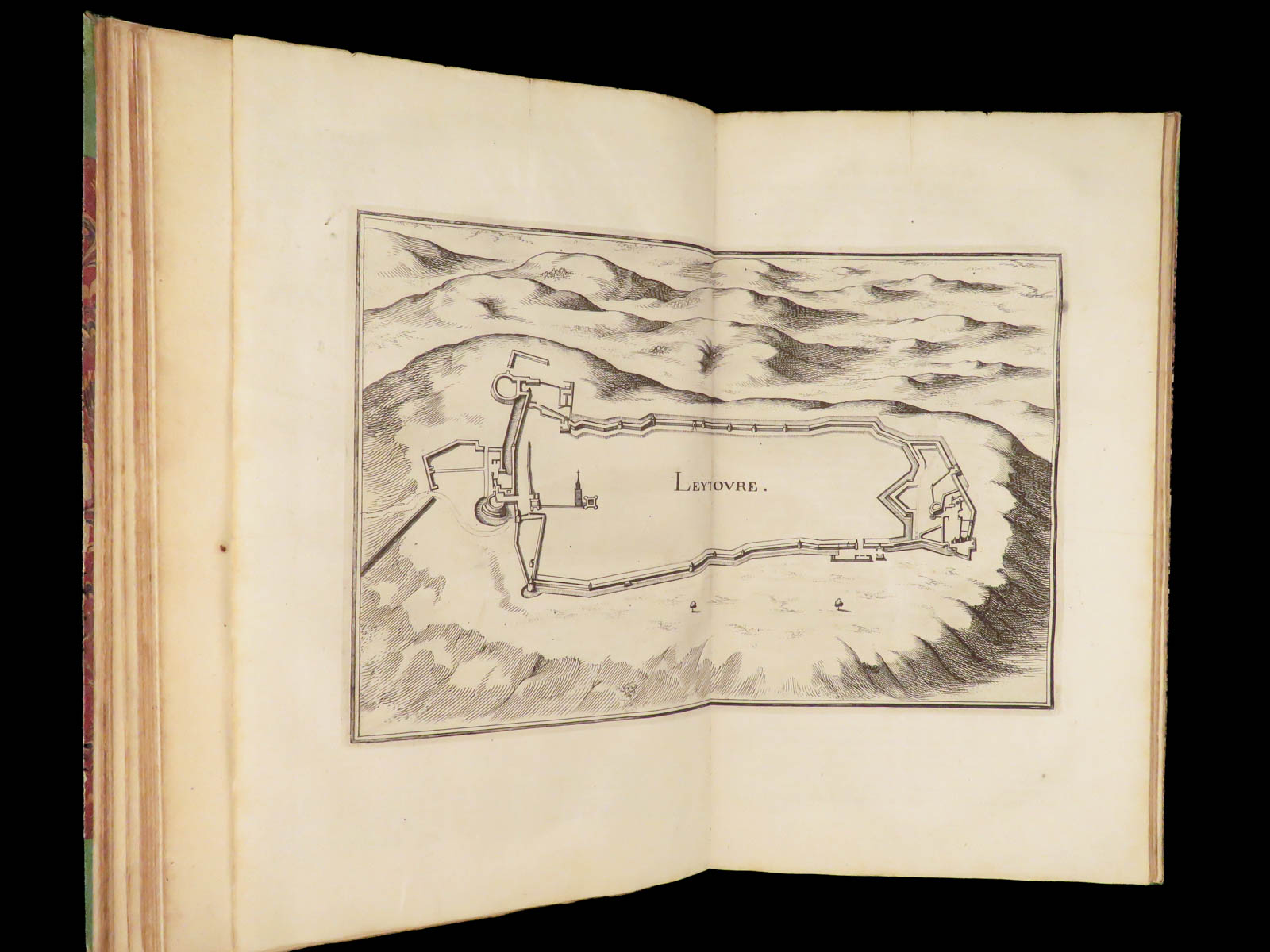
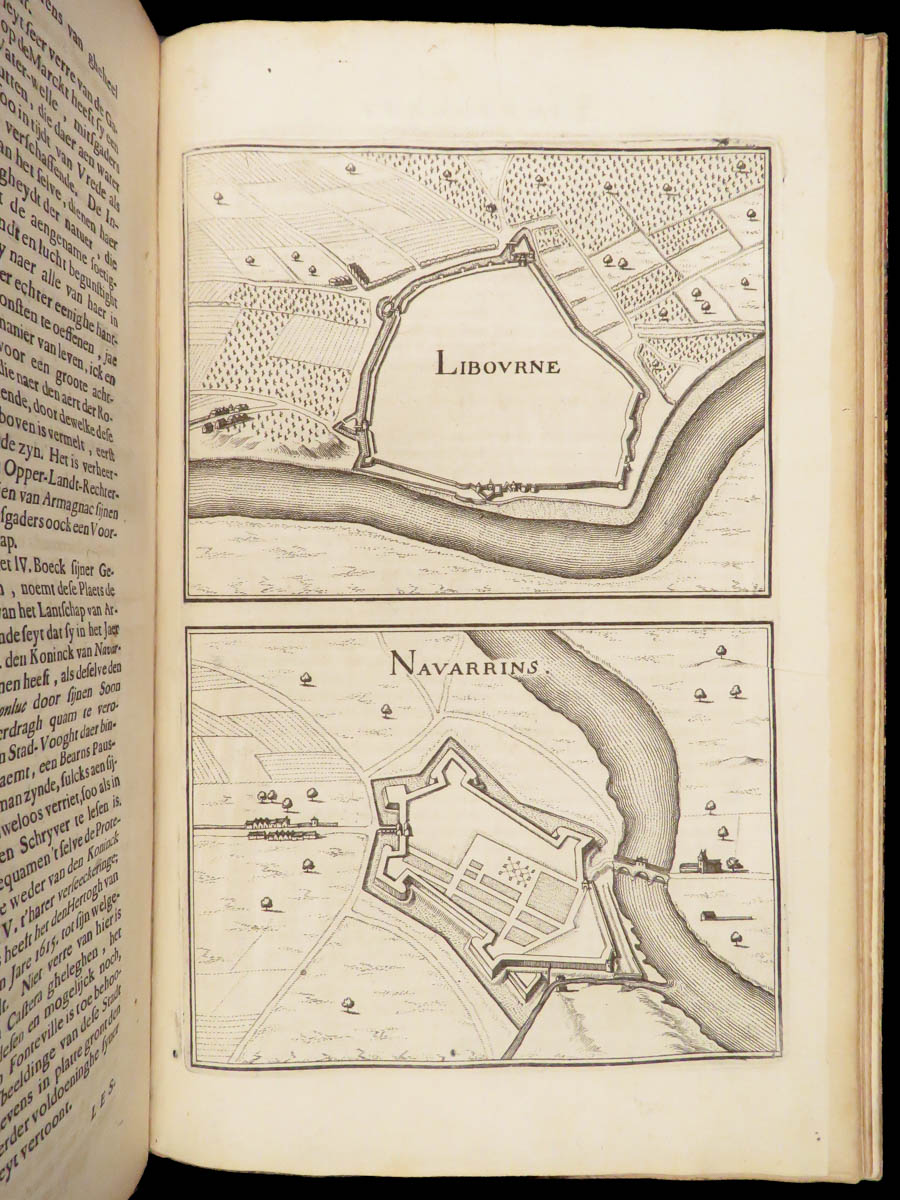
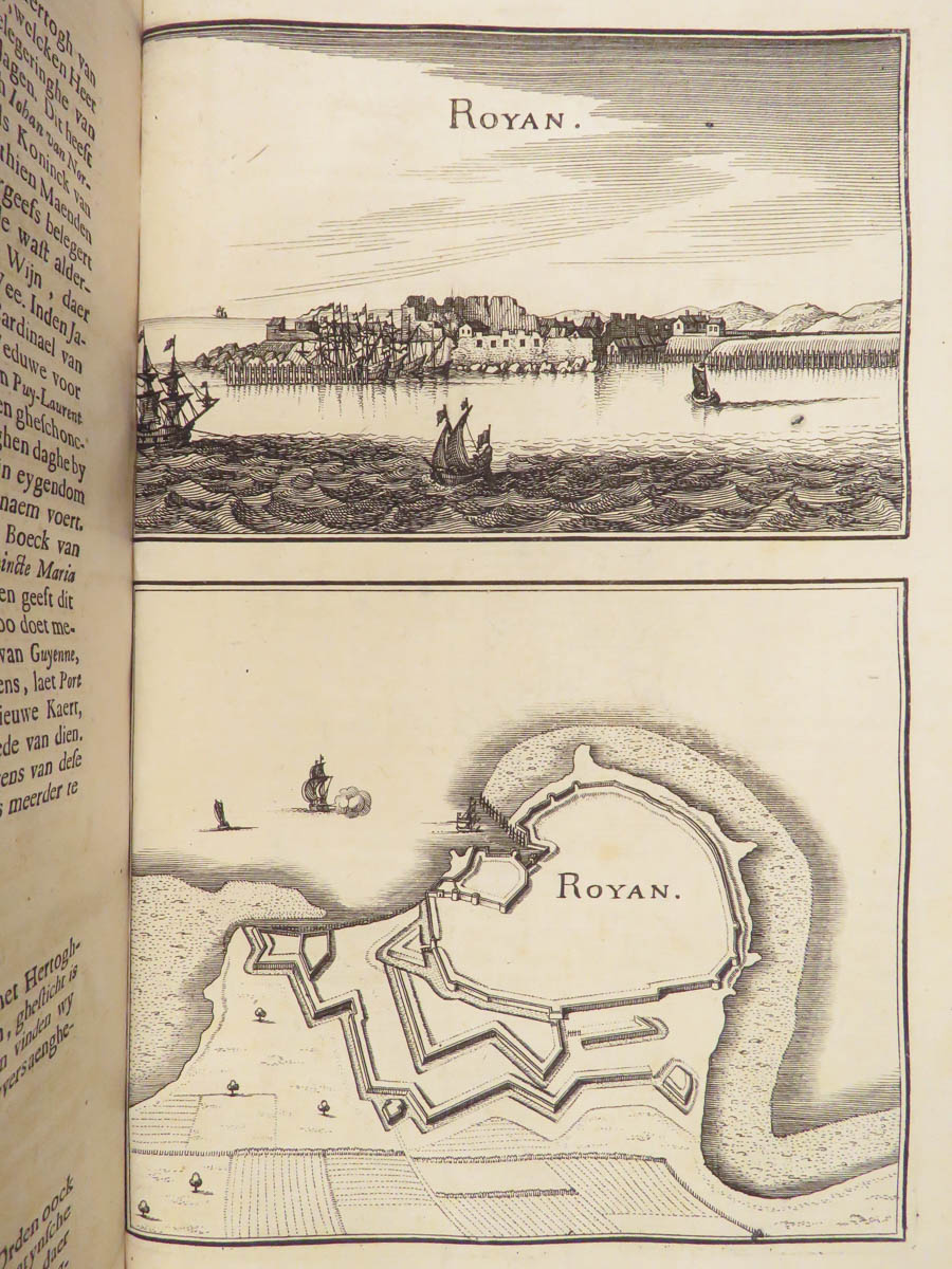
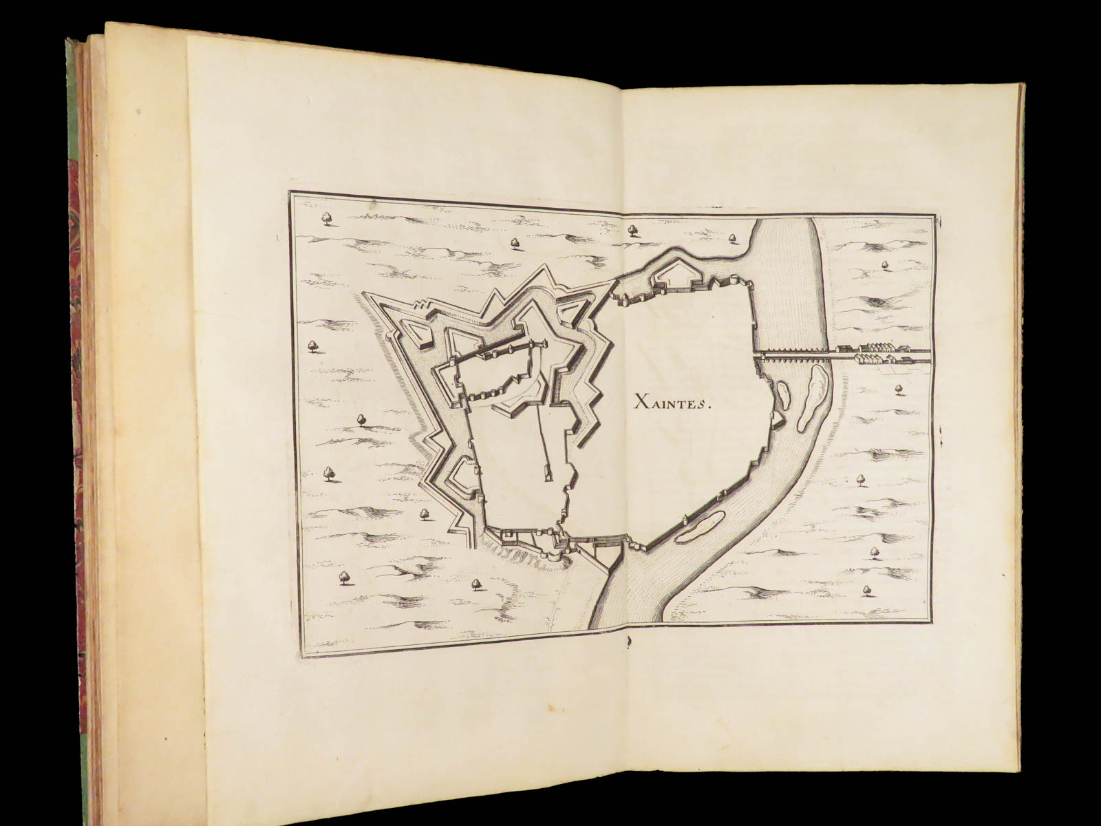
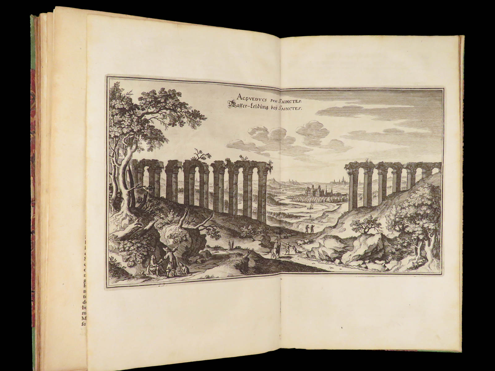
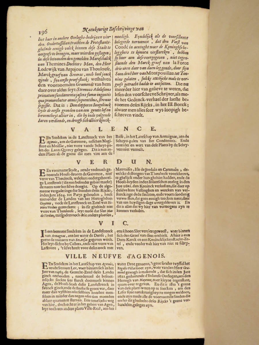
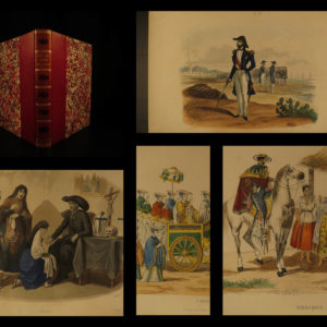
Topographia Galliae is a series of illustrated geography and topography books by Martin Zeiler and Matthaus Merian. It was designed to describe cities and towns in 17th-century France and includes incredible double-page maps. This particular section covers Southwestern France and the province of Guienne and Gascogne. It covers Xainctonge, Périgord, Gascogne, Armagnac, Bigorre, Comminges, and Agenois, as well as coastal towns such as Labourd. The large, double-page map of the environs is particularly desirable.
Bibliographic Details
- Title: [Topographia Galliæ ; dat is: een algemeene en naeukeurighe landt en plaets-beschryvinge van het machtige koninckrijck Vranckryck…] Guyenne; de graefschappen Xainctonge, Perigord, Gascogne, Armagnac, Bigorre, Comminges en Agenois, het vorstendom Bearn ende de landen van Basadois,
- Author(s): Martin Zeiller; Kaspar Merian
- Illustrator(s): Matthäus Merian
- Publisher: Amsterdam, Joost Broersz. en Casper Merian
- Edition: 1662. First edition.
- Format: (4to), single volume
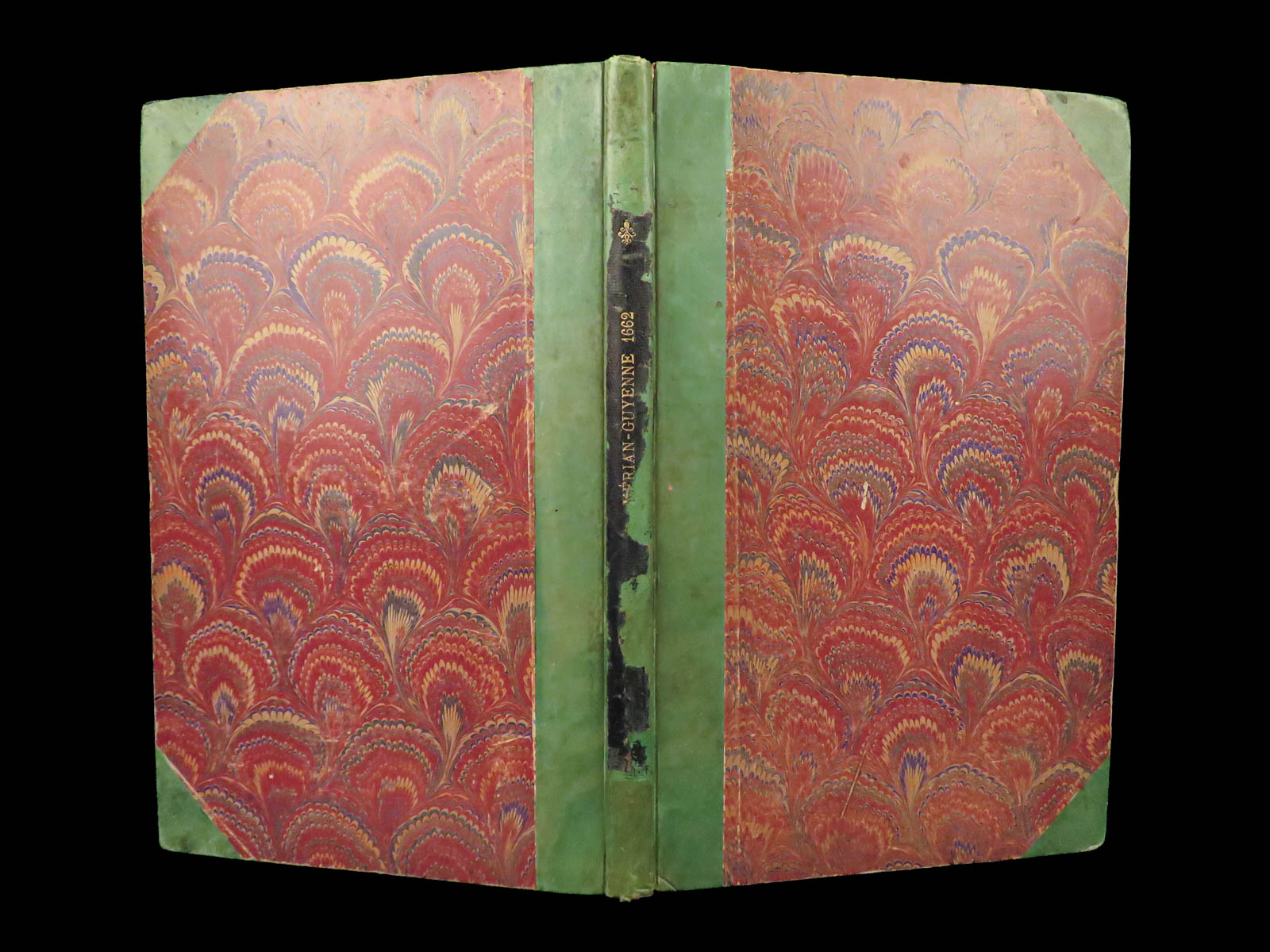
- Binding: Green leather spine over marbled boards
- Size: 12.5 in x 8.5 in (31.7 cm x 21.6 cm)
- Collation: pp. 45–196
- Illustrations: One engraved double-page map + other engraved city views
- Contents Include:
- Textual overview of southern French provinces and jurisdictions
- Double-page engraved map of Guienne and Gascogne
- Descriptions of political divisions, towns, and settlements
Condition:
Good. Binding solid though visibly aged. Green leather spine moderately worn, gilt title faded. Marbled boards show wear at corners. Text block tight. Pages toned, margins clean. Double-page map folded, intact with original crease.
Why Collect This?
- 11 folding and full-page engravings – maps and city views of French towns
- An uncommon Dutch-language topography printed outside of France
Item Number: #29136
Categories
European History
Voyages & Exploration & Maps
Authors
Kaspar Merian Martin Zeiller
Printing Date
17th Century
Language
Dutch
Binding
Leather
Book Condition
Good
Other Books you might like...
-
Sale!
 Add to cart
1874 Chisholm’s Route NEW YORK & Canada St. Lawrence Niagara Illustrated MAPS
Original price was: $750.00.$650.00Current price is: $650.00. -
Sale!
 Add to cart
1744 RAREST George Anson Voyage to South-Seas South America Brazil Peru Chile
Original price was: $2,500.00.$1,950.00Current price is: $1,950.00. -
Sale!
 Add to cart
1854 HUGE MAP1ed California Gold Rush Baldwin Complete Gazetteer Americana
Original price was: $599.00.$499.00Current price is: $499.00. -
Sale!
 Add to cart
1843 Lucry Voyages Atlas CHINA South America Jungles Color Engravings CORTEZ
Original price was: $950.00.$750.00Current price is: $750.00.