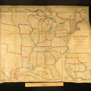
1843 – Smith Atlas | 28 Incredible Maps – America, Greece, Britain, Egypt, Asia

Smith’s Atlas by Roswell Chamberlain Smith, 1843, includes 28 color maps covering world regions, Europe, Africa, and the United States.
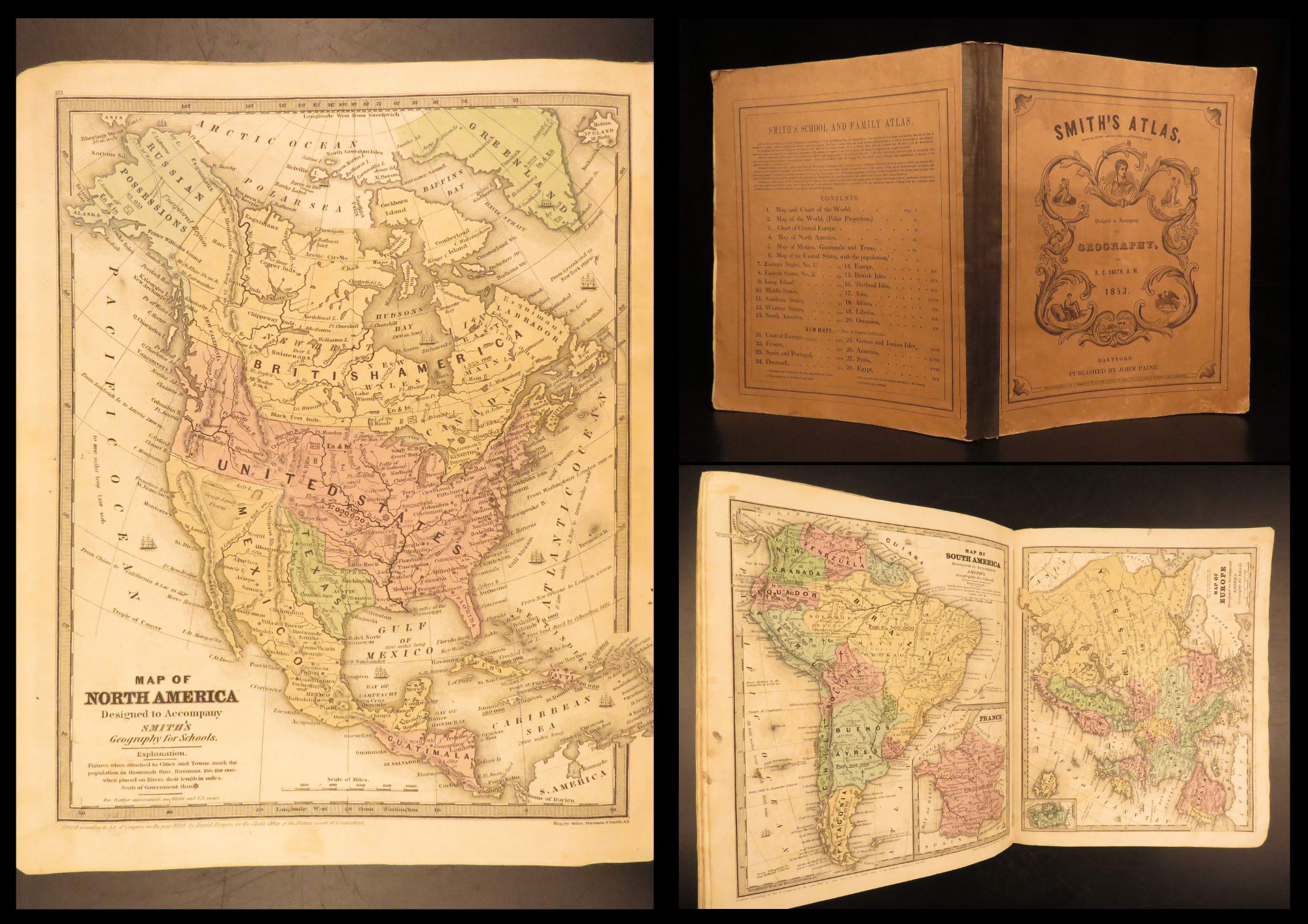
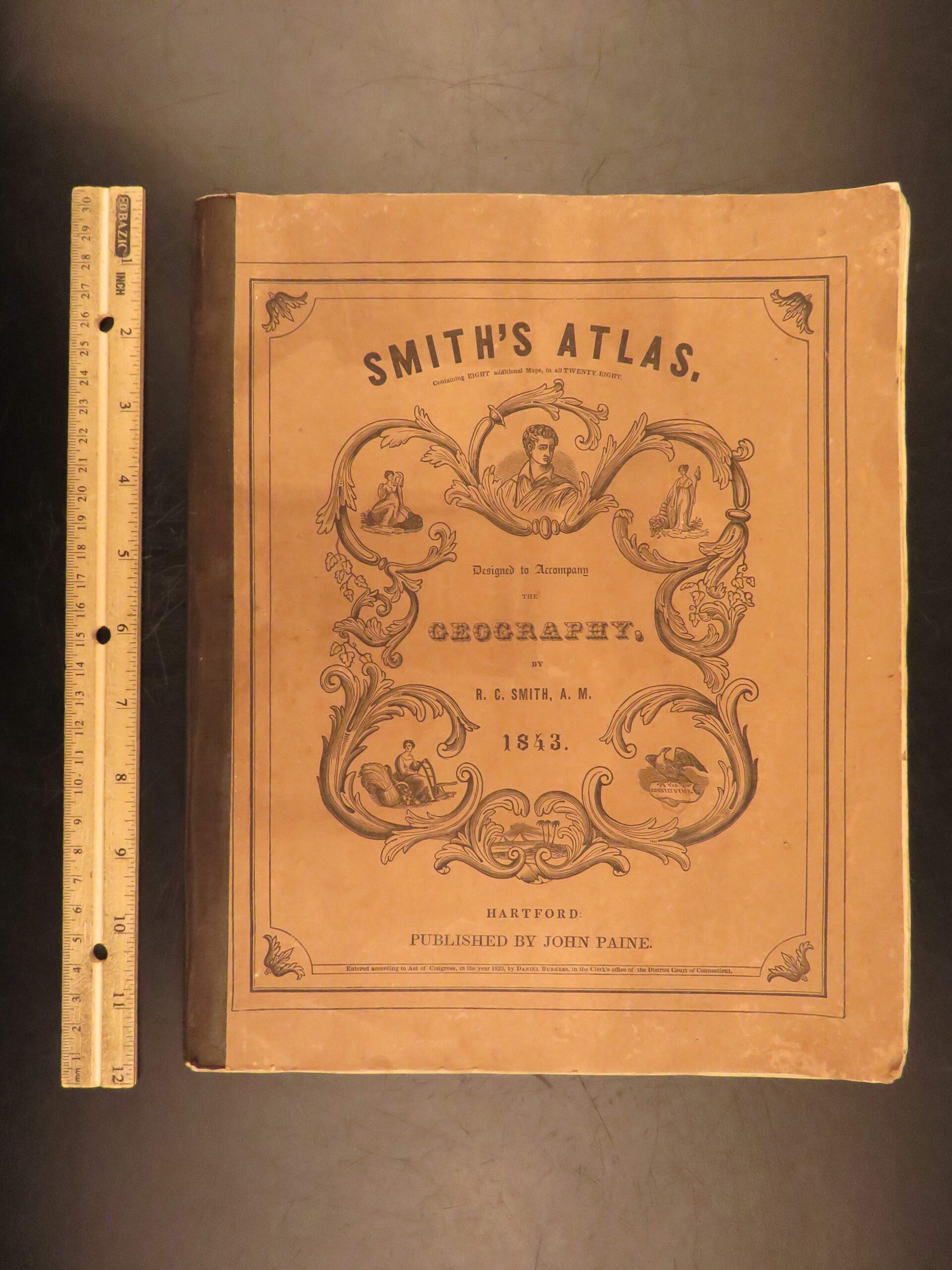

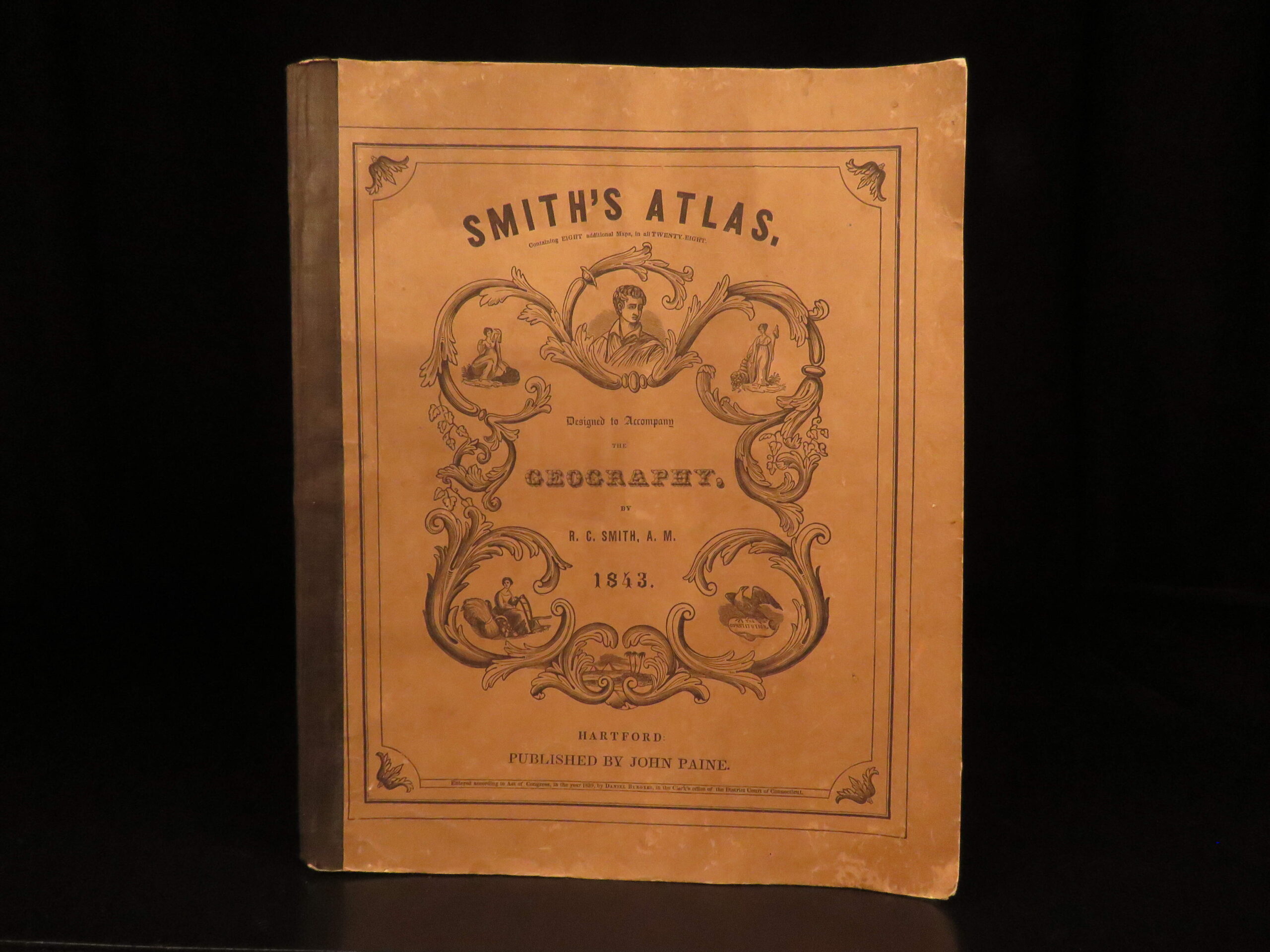
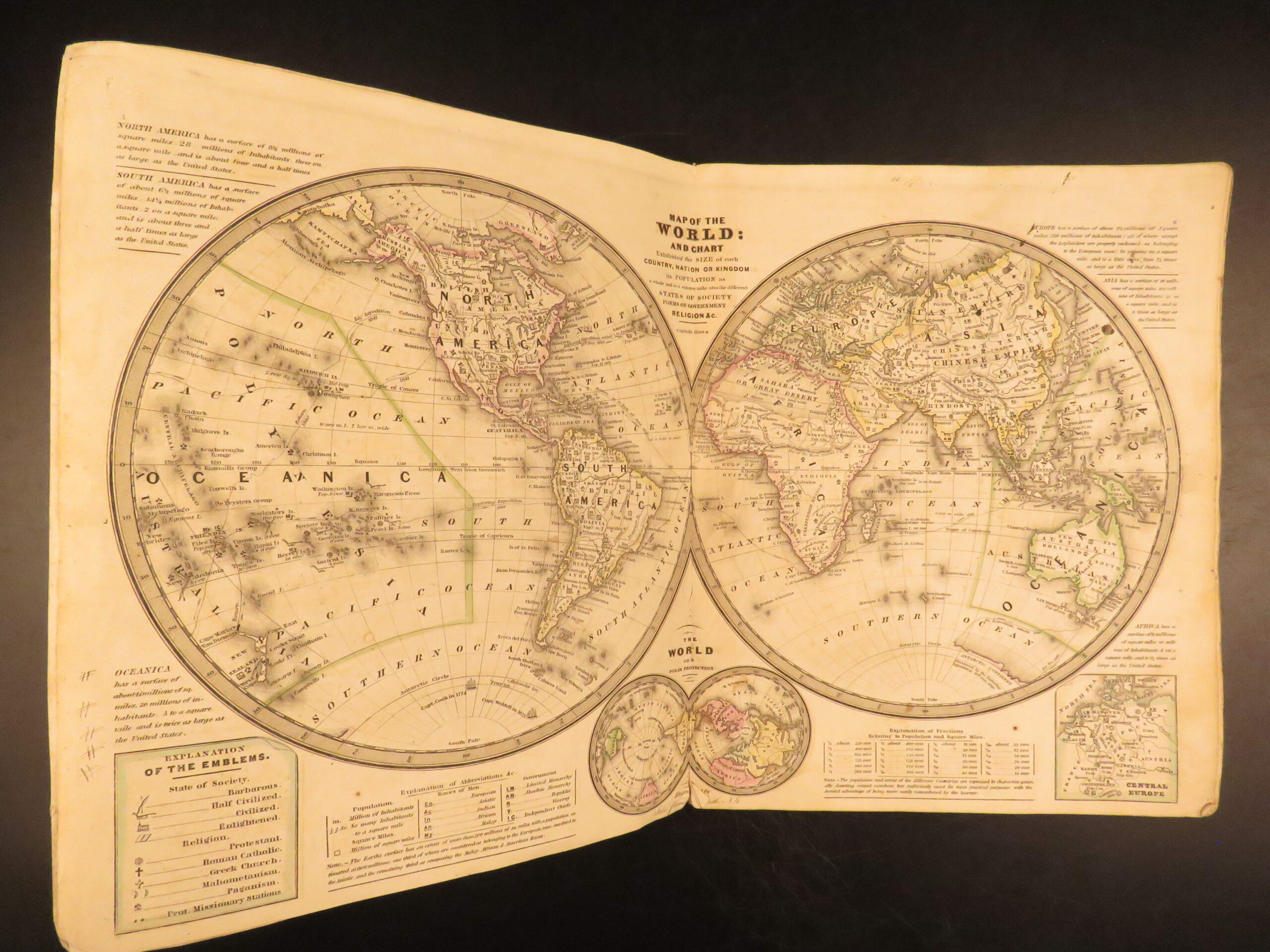
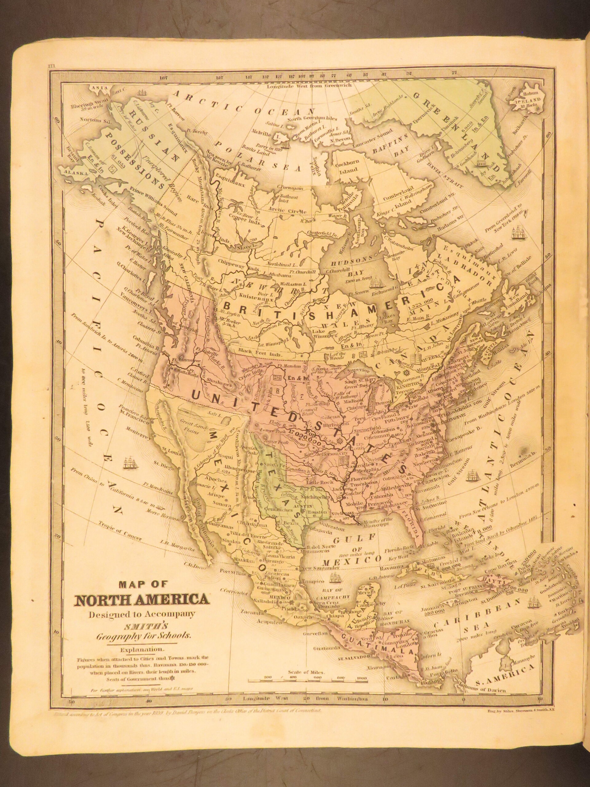
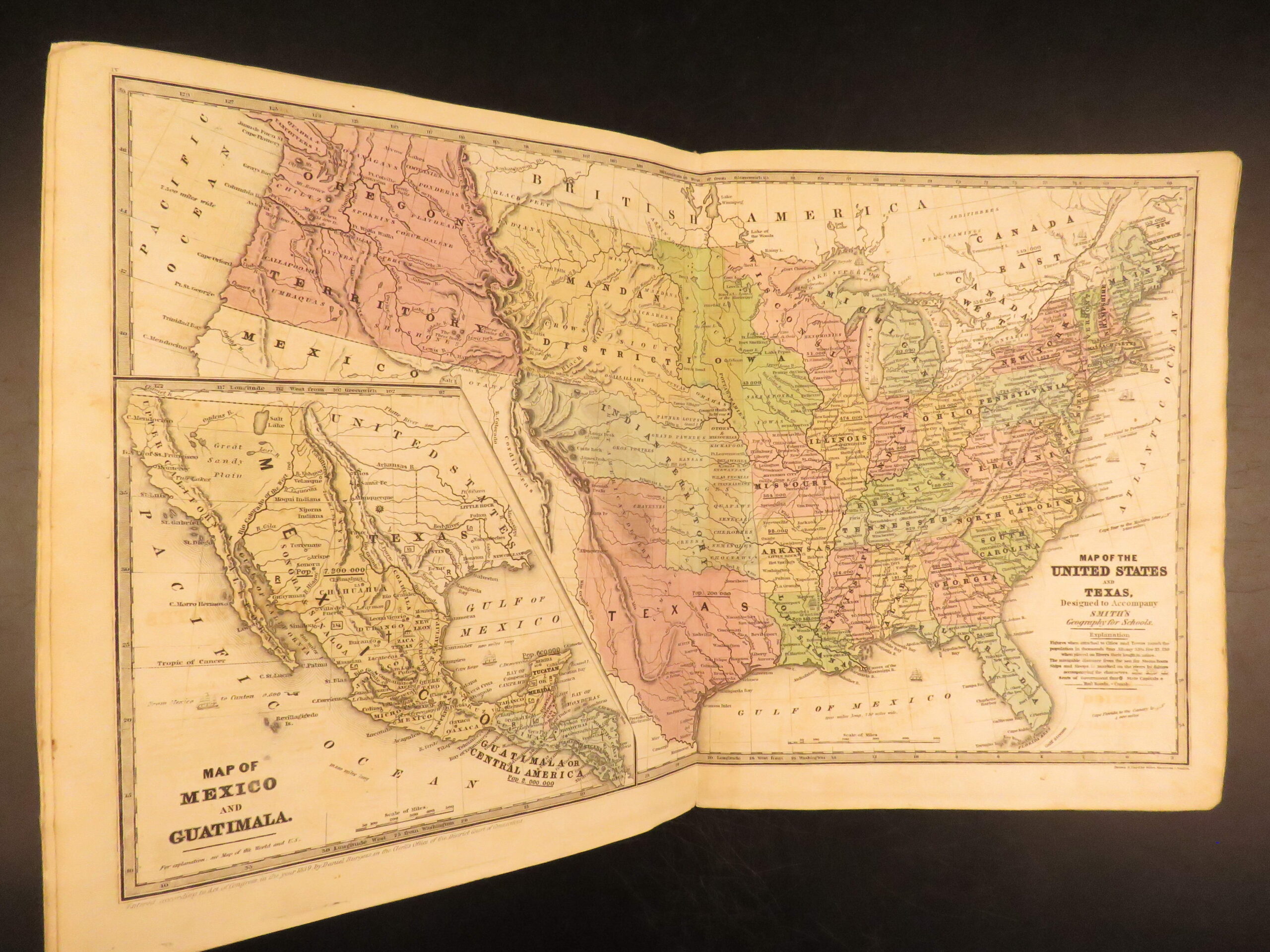
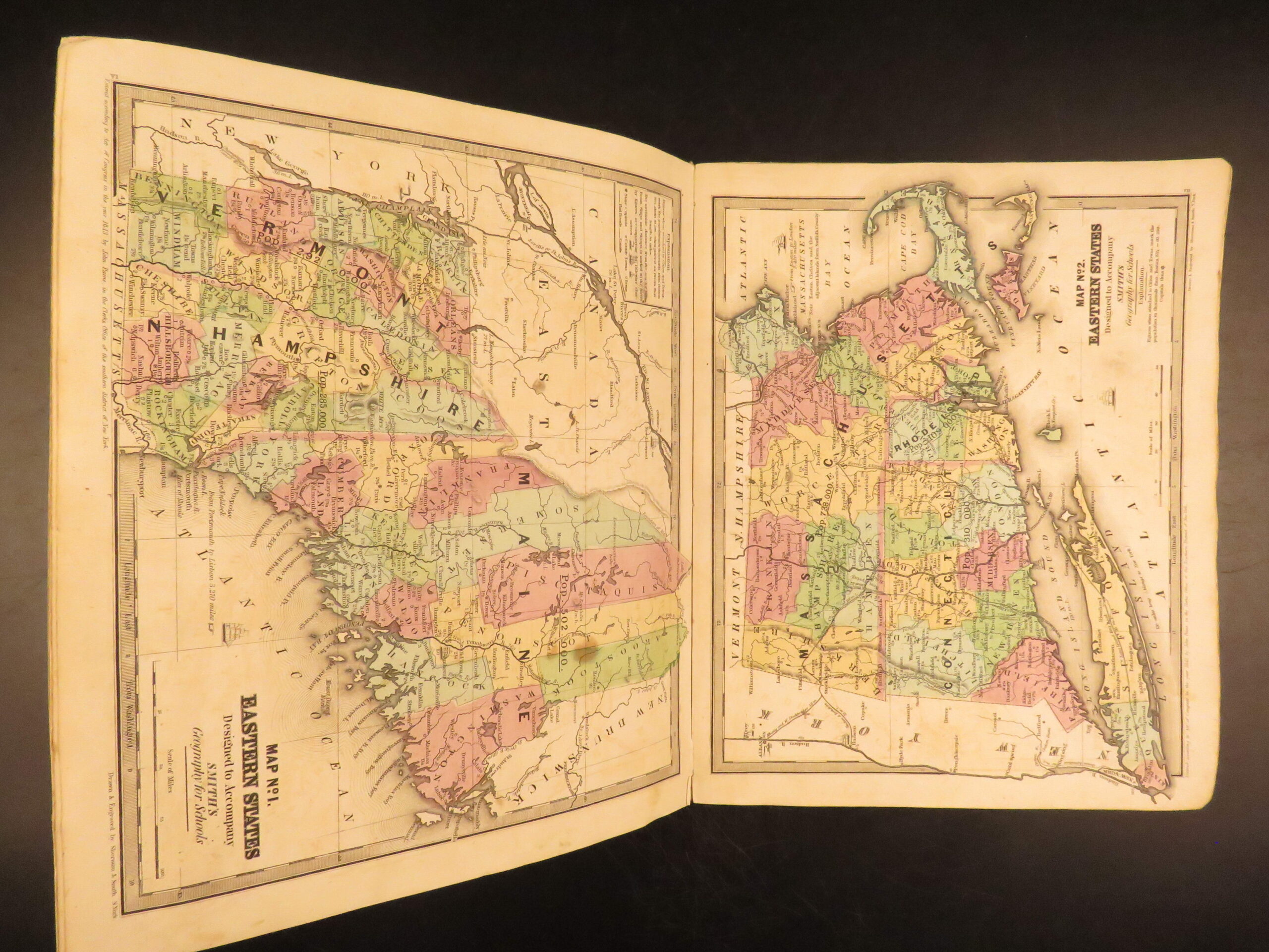
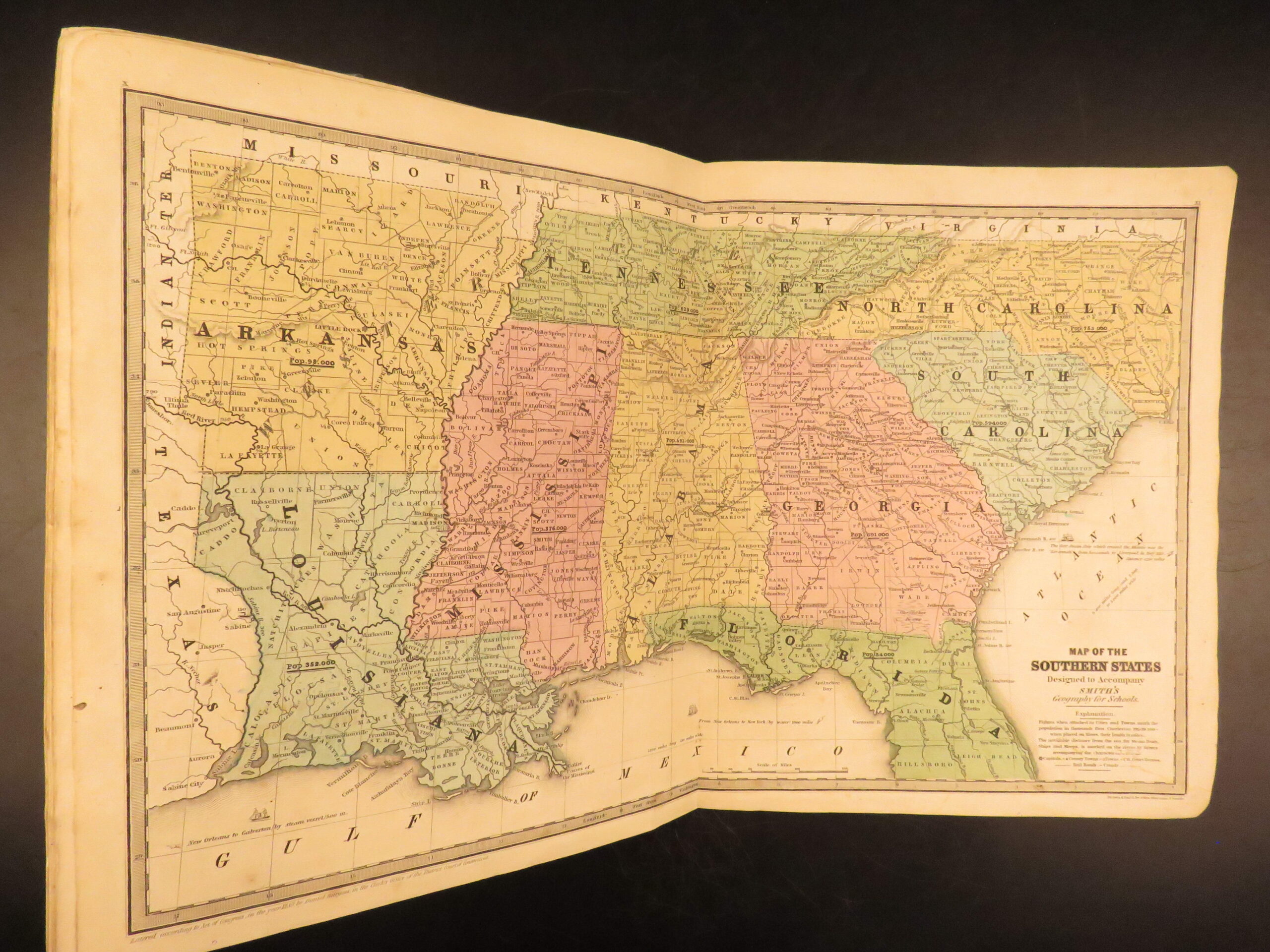
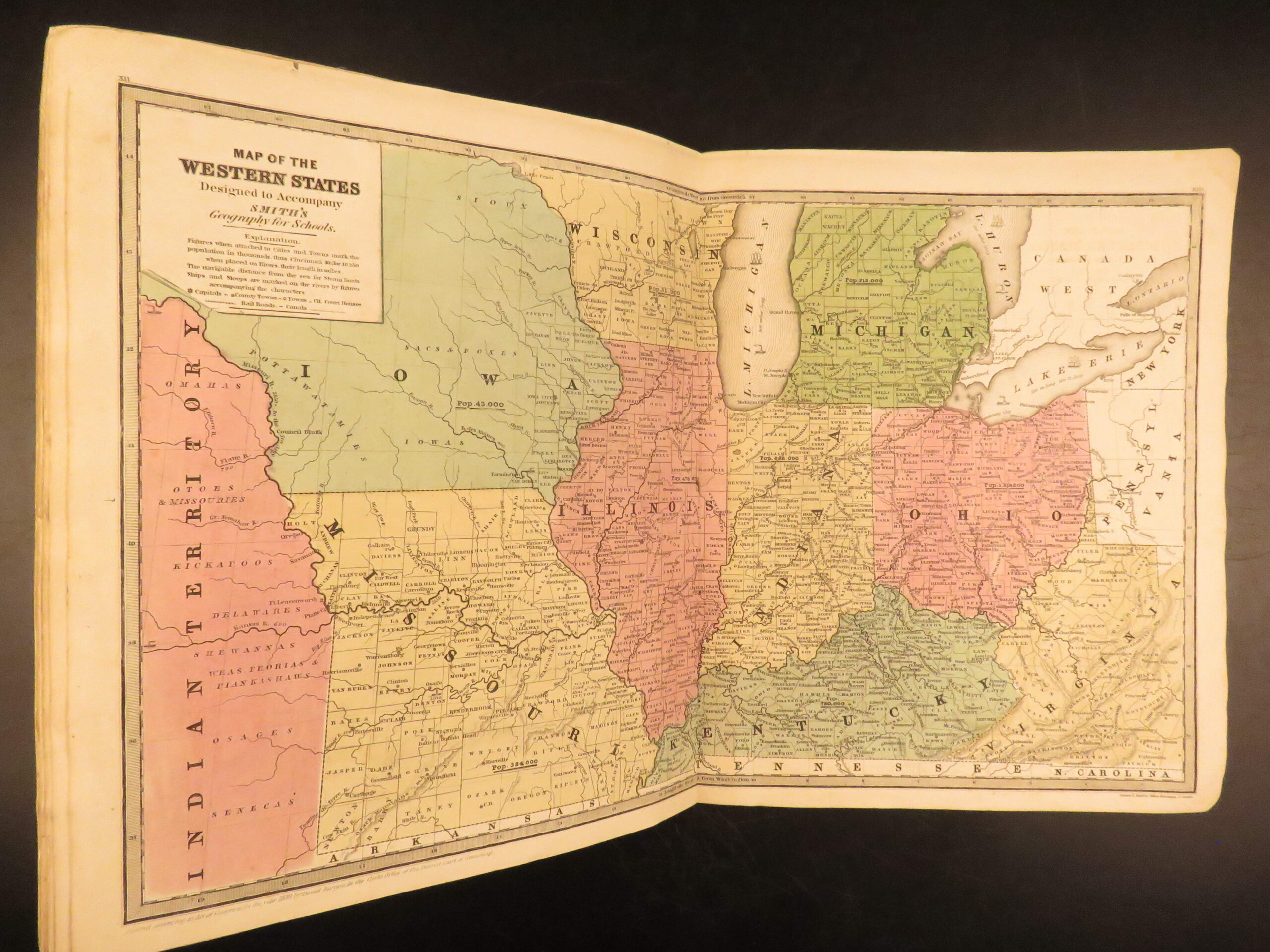
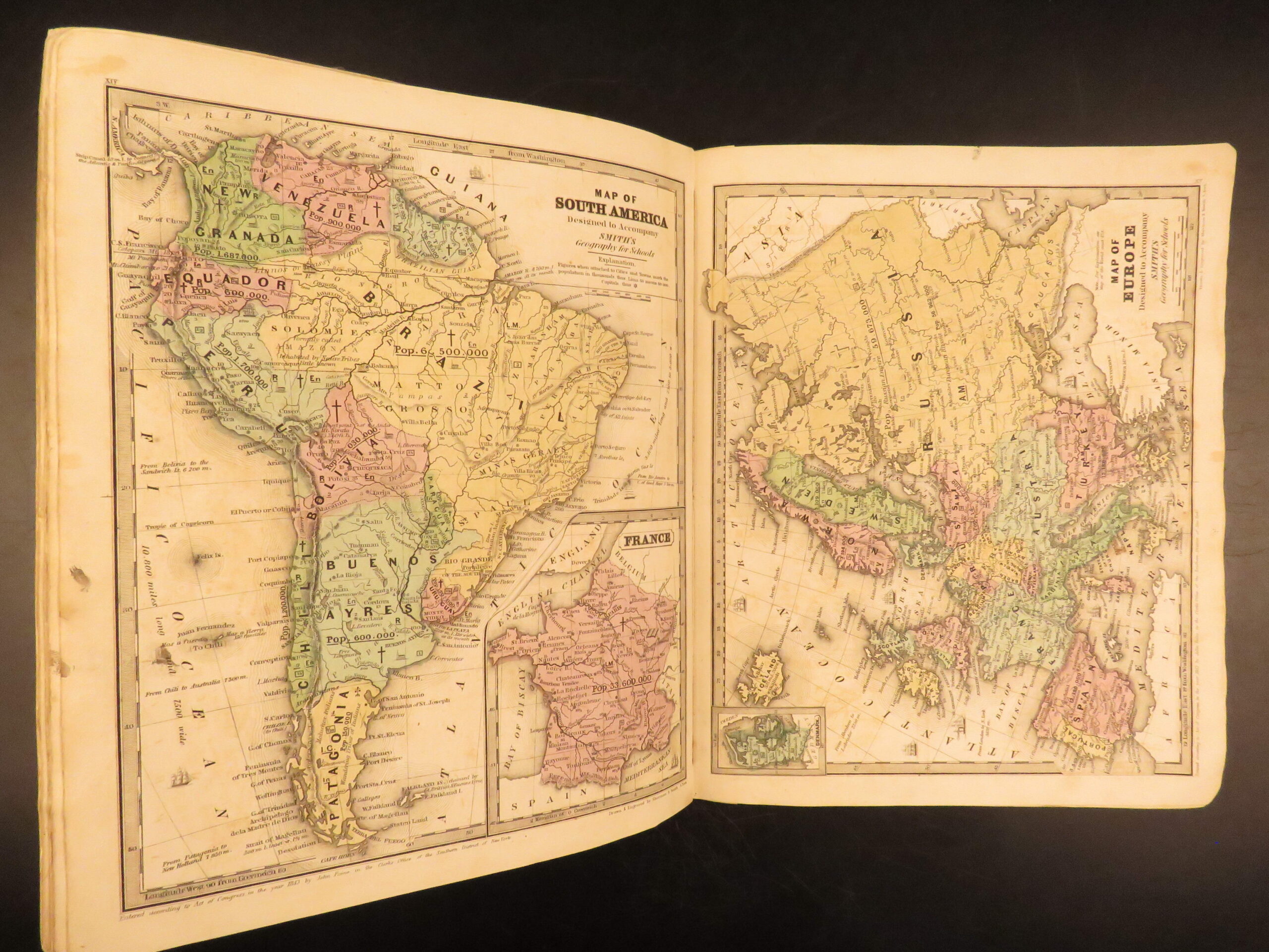
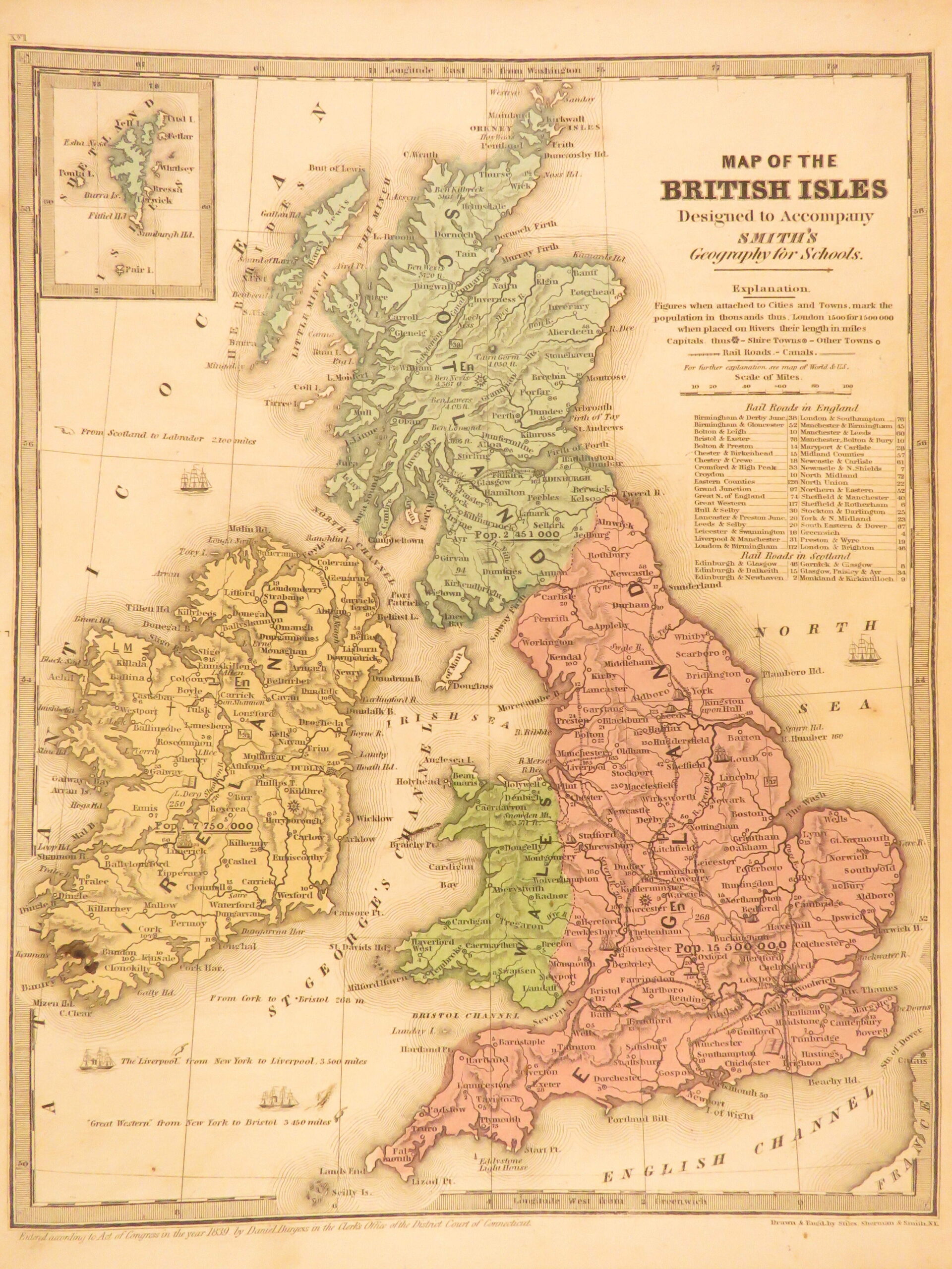
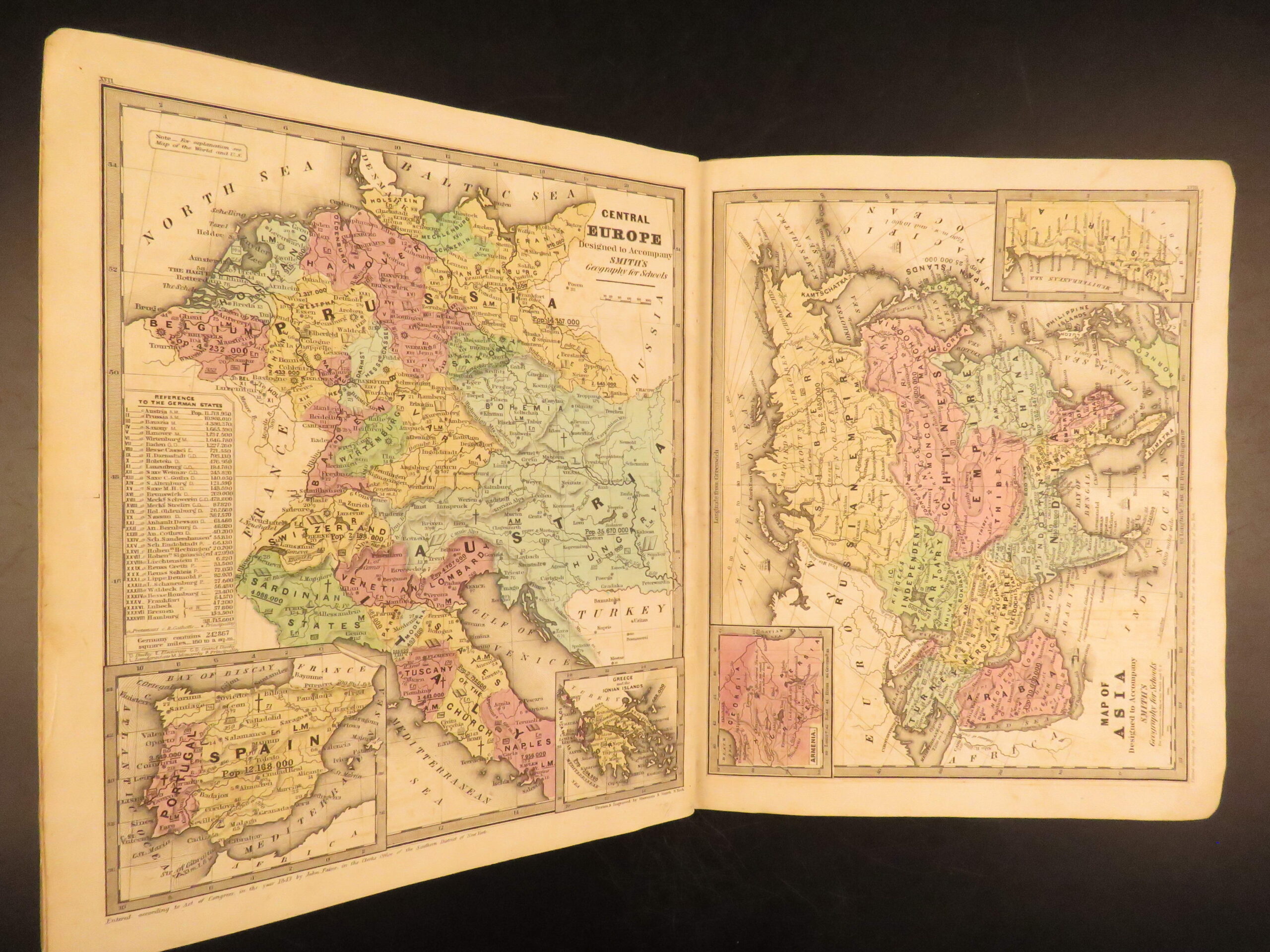
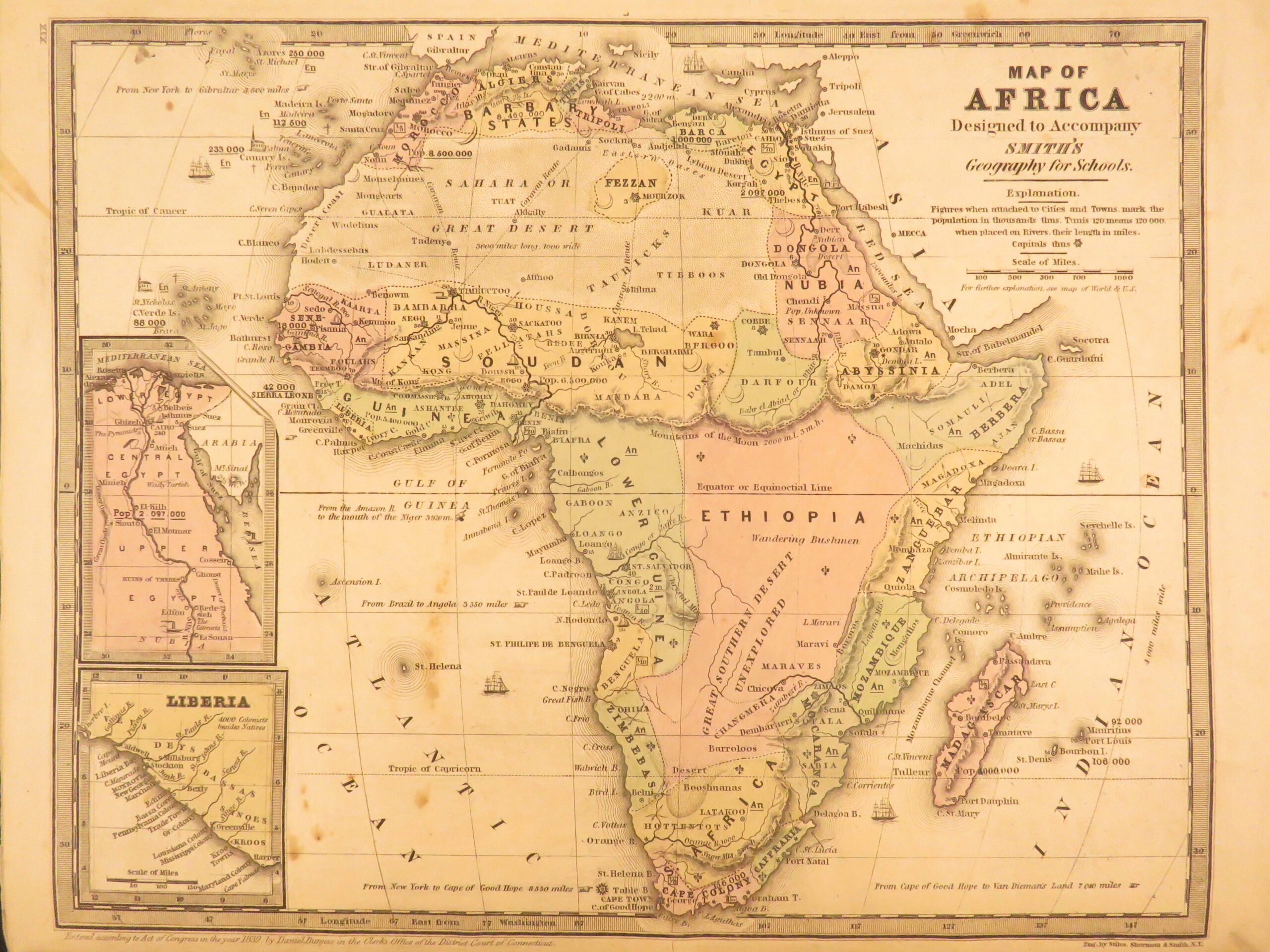
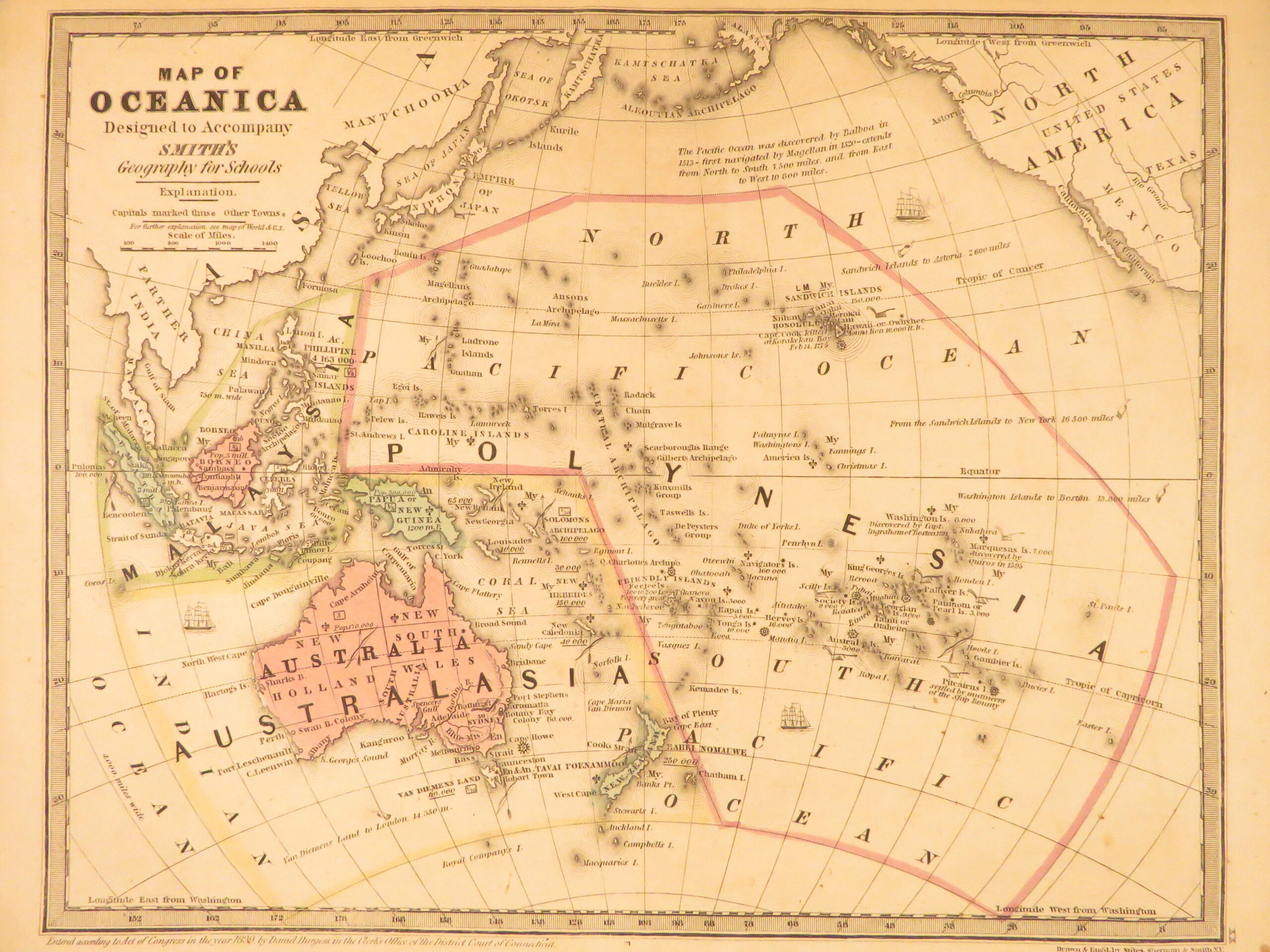
Roswell Chamberlain Smith’s Atlas (1843) contains a collection of 28 maps. The atlas includes maps covering regions such as Europe, South America, Africa, Greece, Egypt, the United States, the British Isles, and world views. Each map is printed across full-page and double-page, offering broad geographic coverage typical of mid-nineteenth century American atlases. This particular edition includes new maps that were not in previous editions.
Bibliographic Details
- Title: Smith’s Atlas…Maps, in all twenty eight
- Author(s): Roswell Chamberlain Smith
- Publisher: Hartford, Published by John Paine
- Edition: 1843. New edition.
- Binding: Softcover
- Format: (4to), single volume
- Size: 11.75 x 9.5 in (30 x 24 cm)
- Collation: 28 maps
- Illustrations: 28 maps
- Contents Include:
- World maps
- Europe
- South America
- Africa
- Greece and Egypt
- United States and British Isles
Condition:
Good. Softcover with visible staining to front cover. Maps show some staining. Structure remains intact.
Why Collect This?
- Famous American atlas with 28 color maps
Item Number: #50270
Category
Voyages & Exploration & Maps
Authors
Roswell Chamberlain Smith
Printing Date
19th Century
Language
English
Binding
Softcover
Book Condition
Good
Collation
Complete
Other Books you might like...
-
Sale!
 Add to cart
1804 Account of New South Wales David Collins Australia New Zealand Illustrated
Original price was: $1,950.00.$1,750.00Current price is: $1,750.00. -
Sale!
 Add to cart
1854 HUGE MAP1ed California Gold Rush Baldwin Complete Gazetteer Americana
Original price was: $599.00.$499.00Current price is: $499.00. -
Sale!
 Add to cart
1725 Jewish History Calmet JEWS + Bible Commentary Holy Land MAPS Jerusalem
Original price was: $750.00.$650.00Current price is: $650.00. -
Sale!
 Add to cart
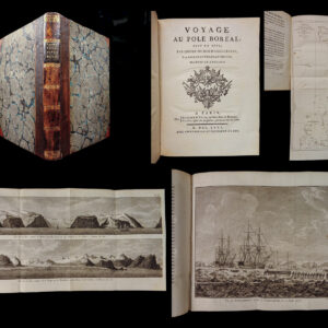
1775 NORTH POLE VOYAGES Scientific Discovery ARCTIC EXPLORATION 1st French ed
Original price was: $1,500.00.$995.00Current price is: $995.00.