1862 – Johnson’s New Family Atlas | Enormous Hand-Colored Maps | World Maps

Johnson’s 1862 folio atlas includes 97 original hand-colored maps engraved by J.H. Colton, covering U.S. states, cities, and world regions with added physical and statistical texts.
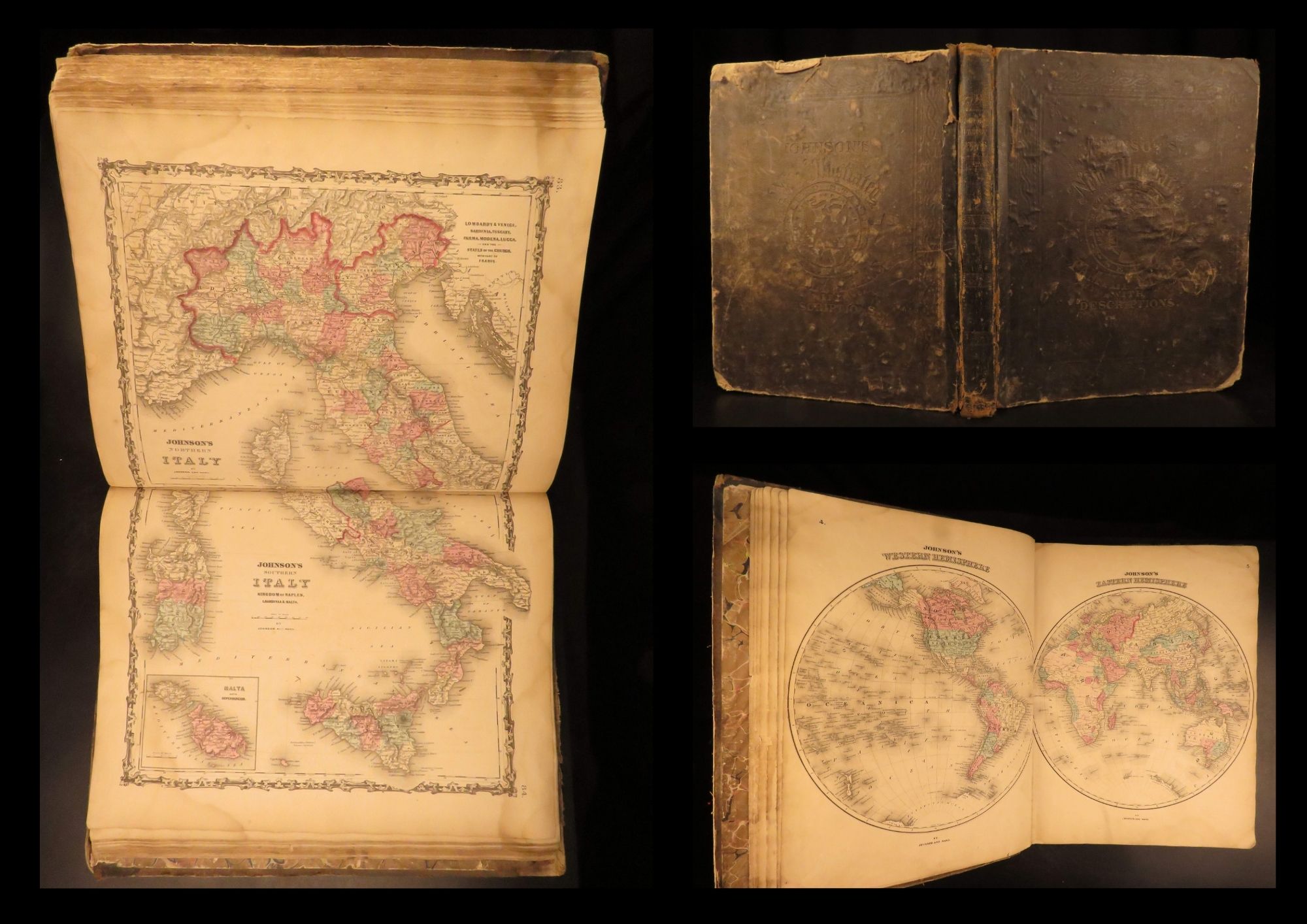

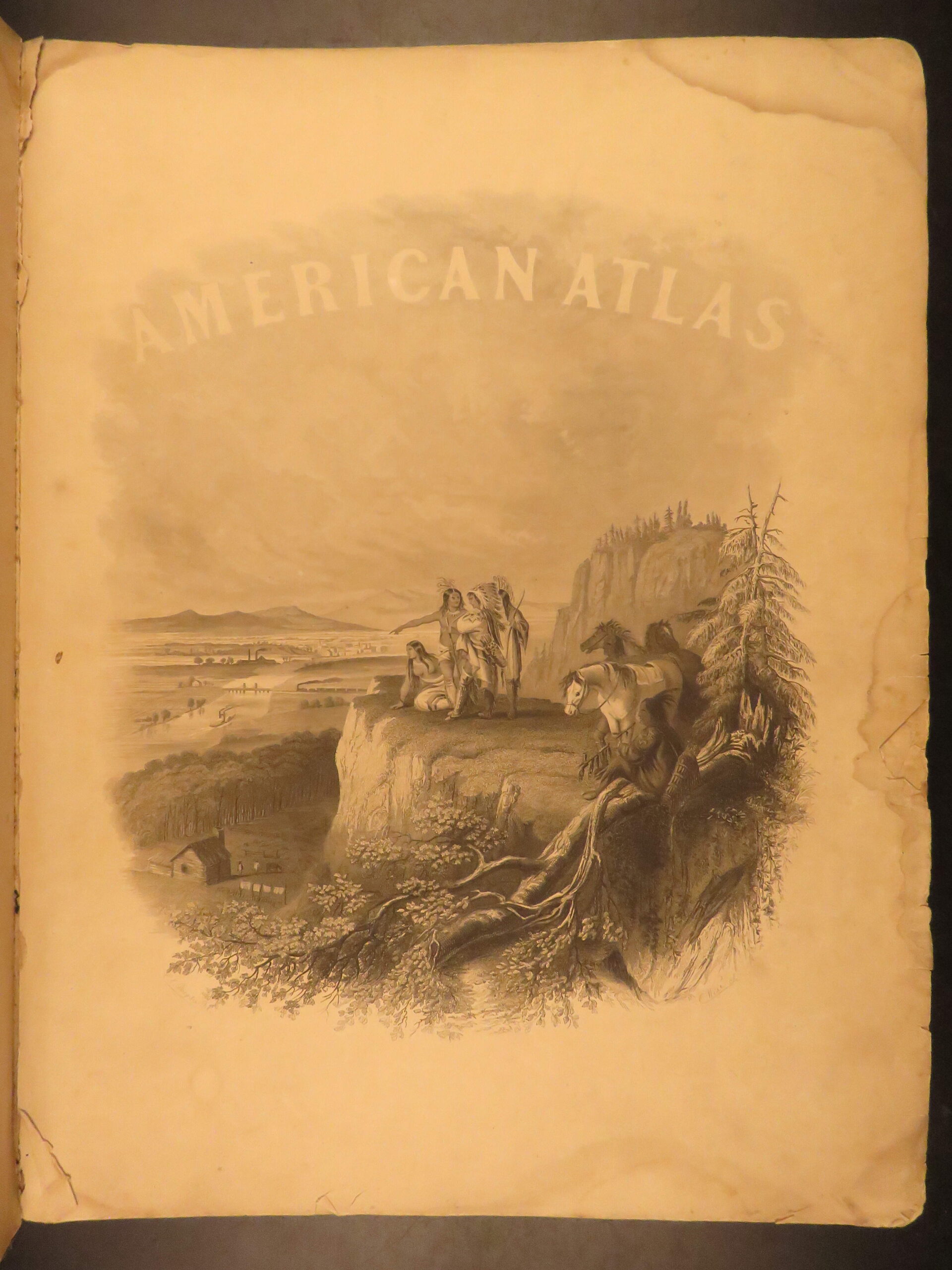

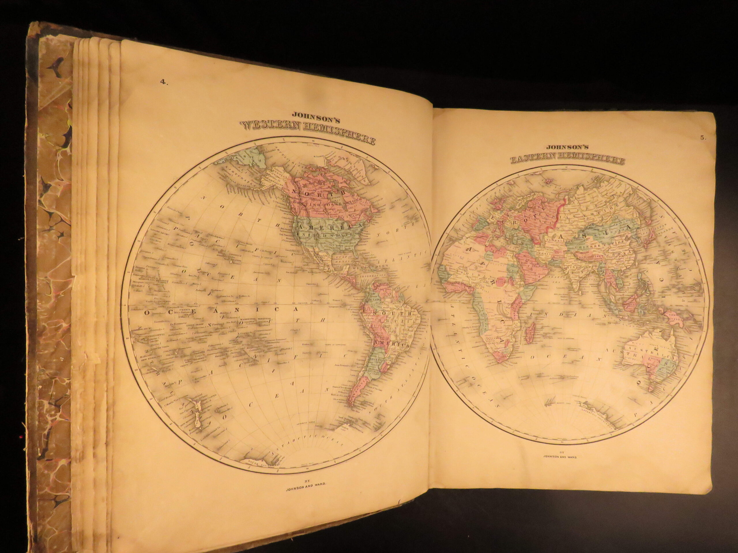
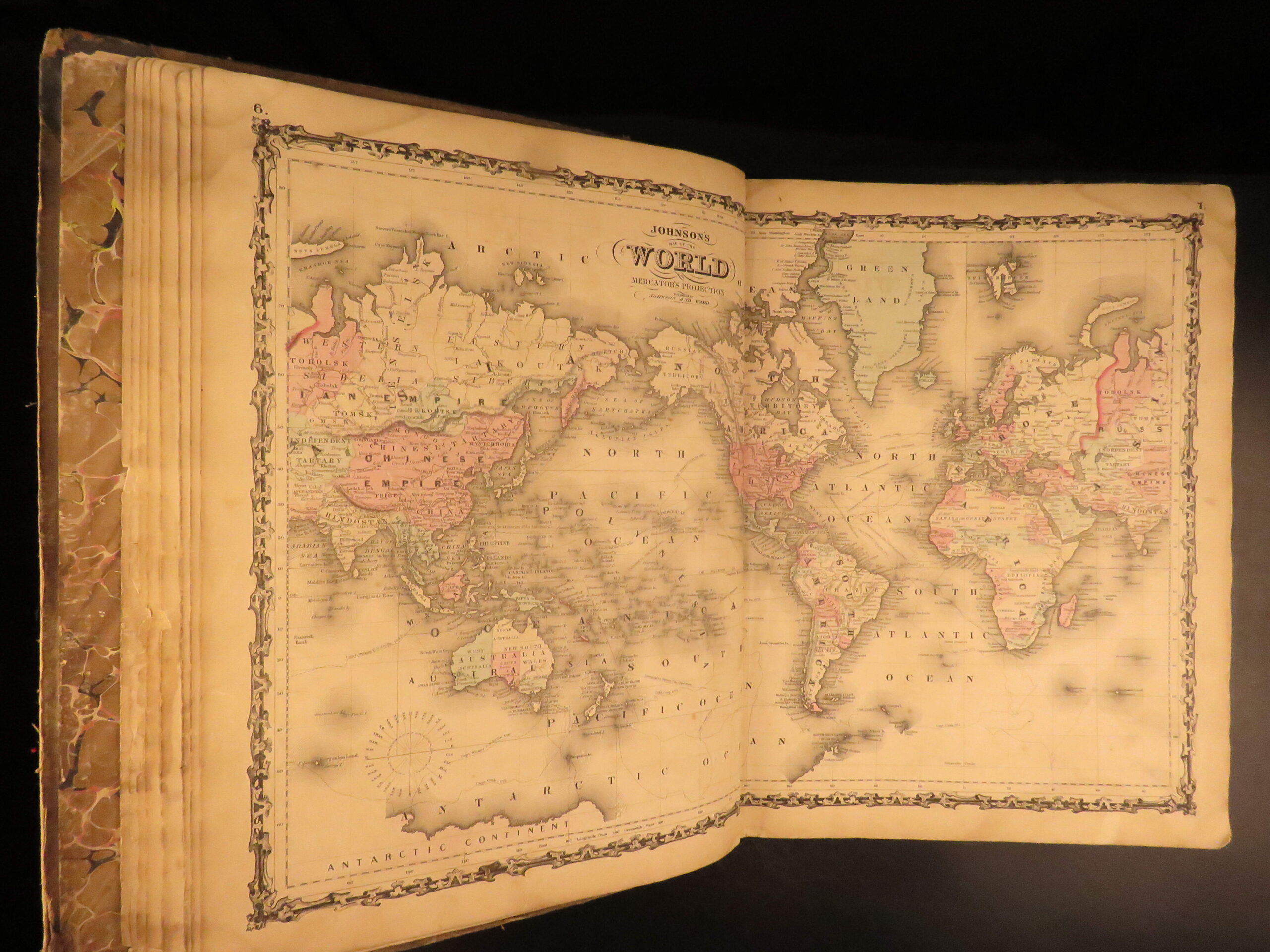

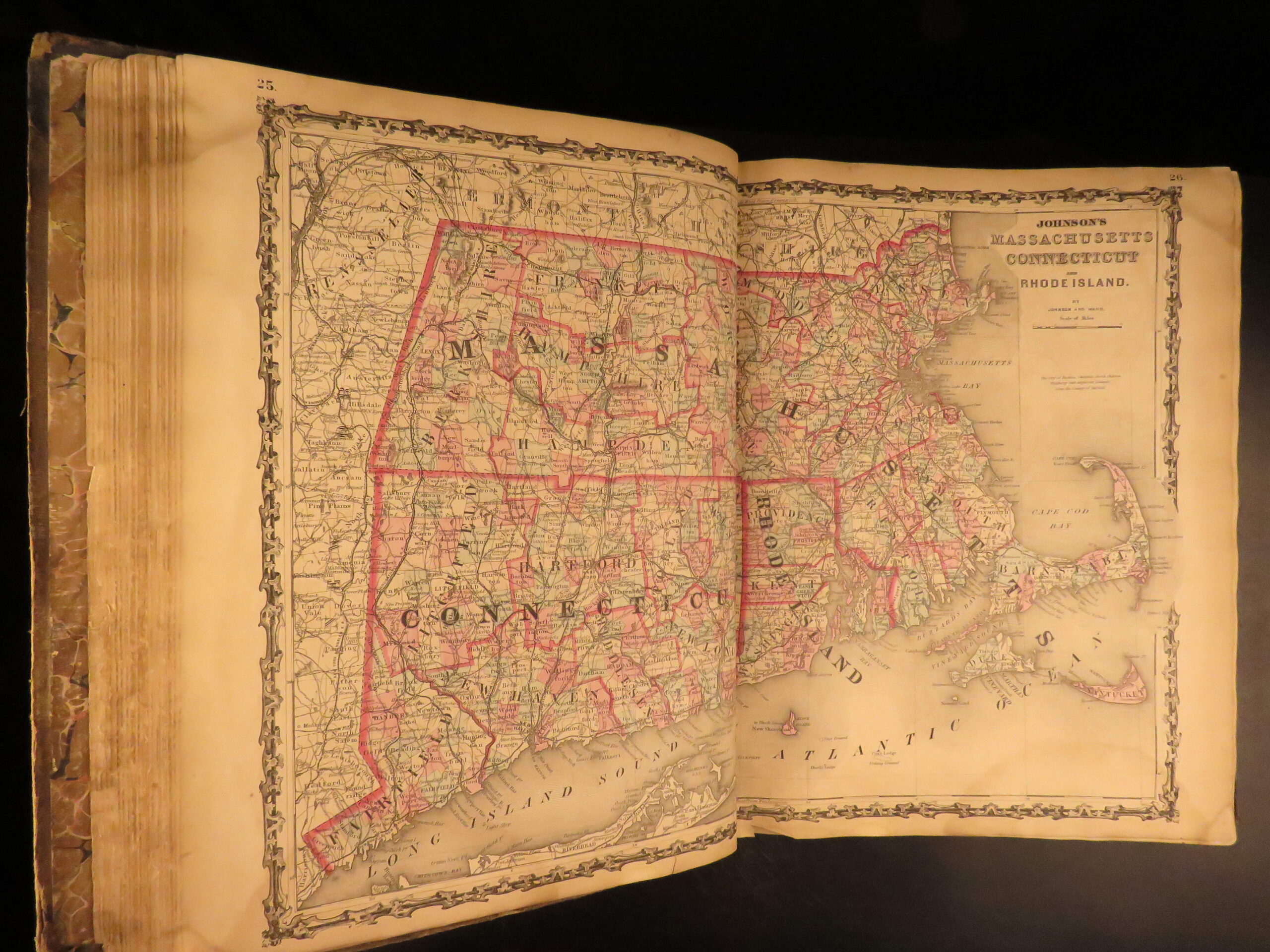
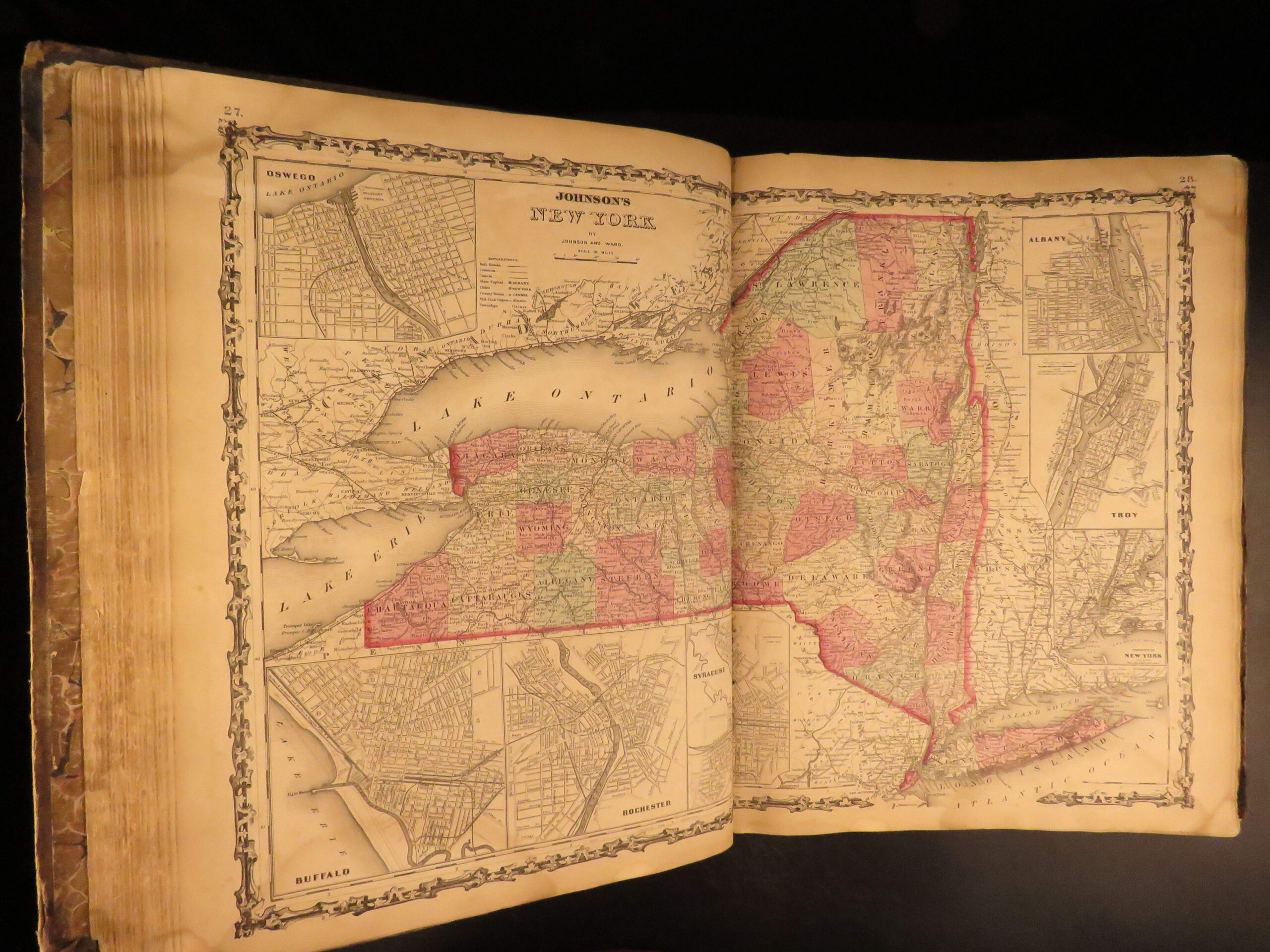
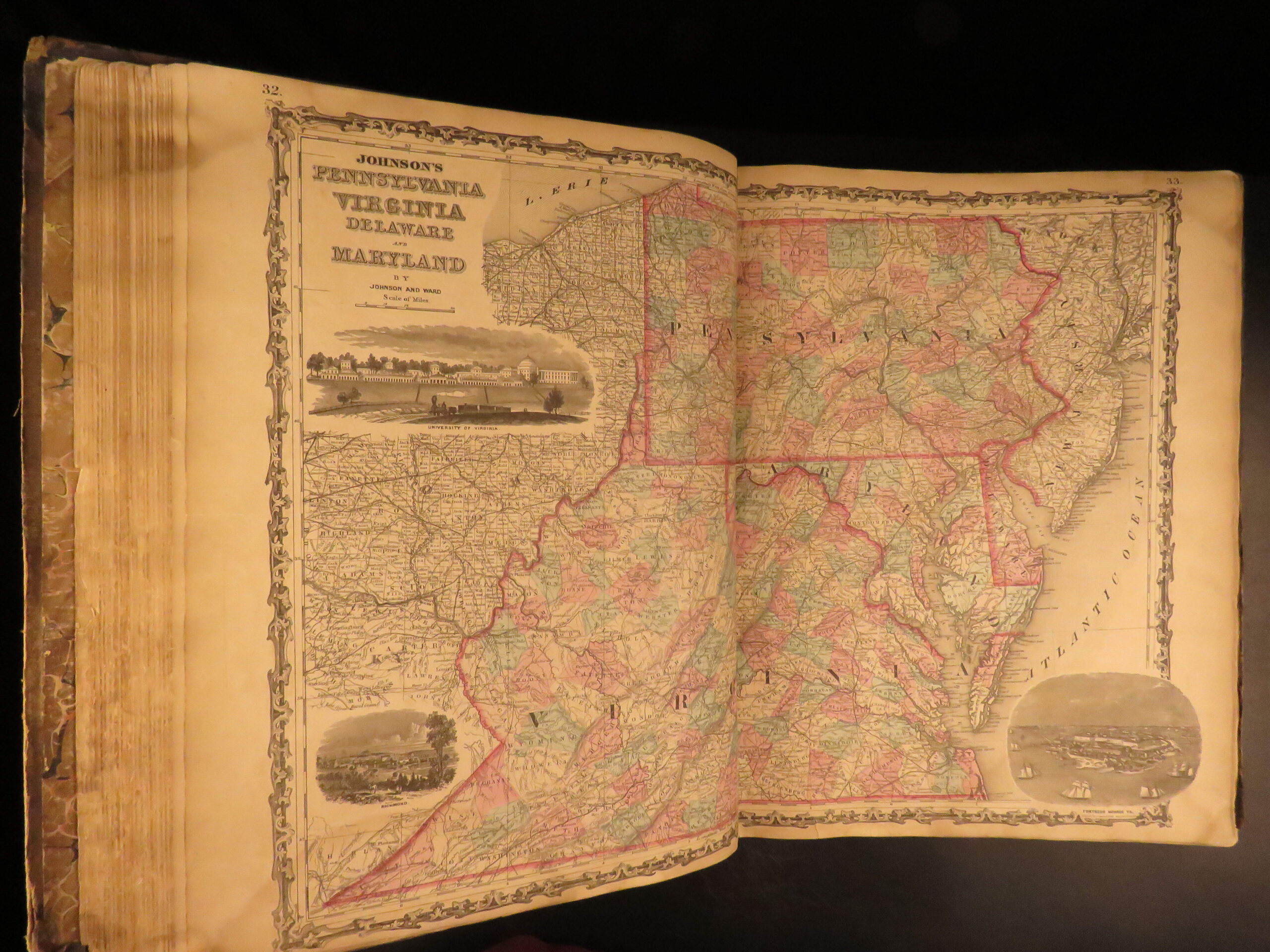
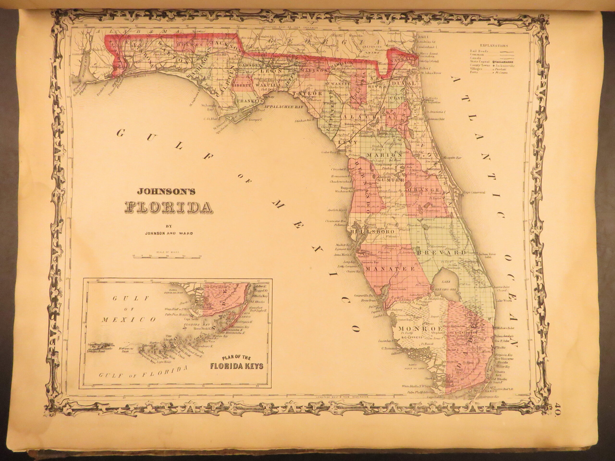
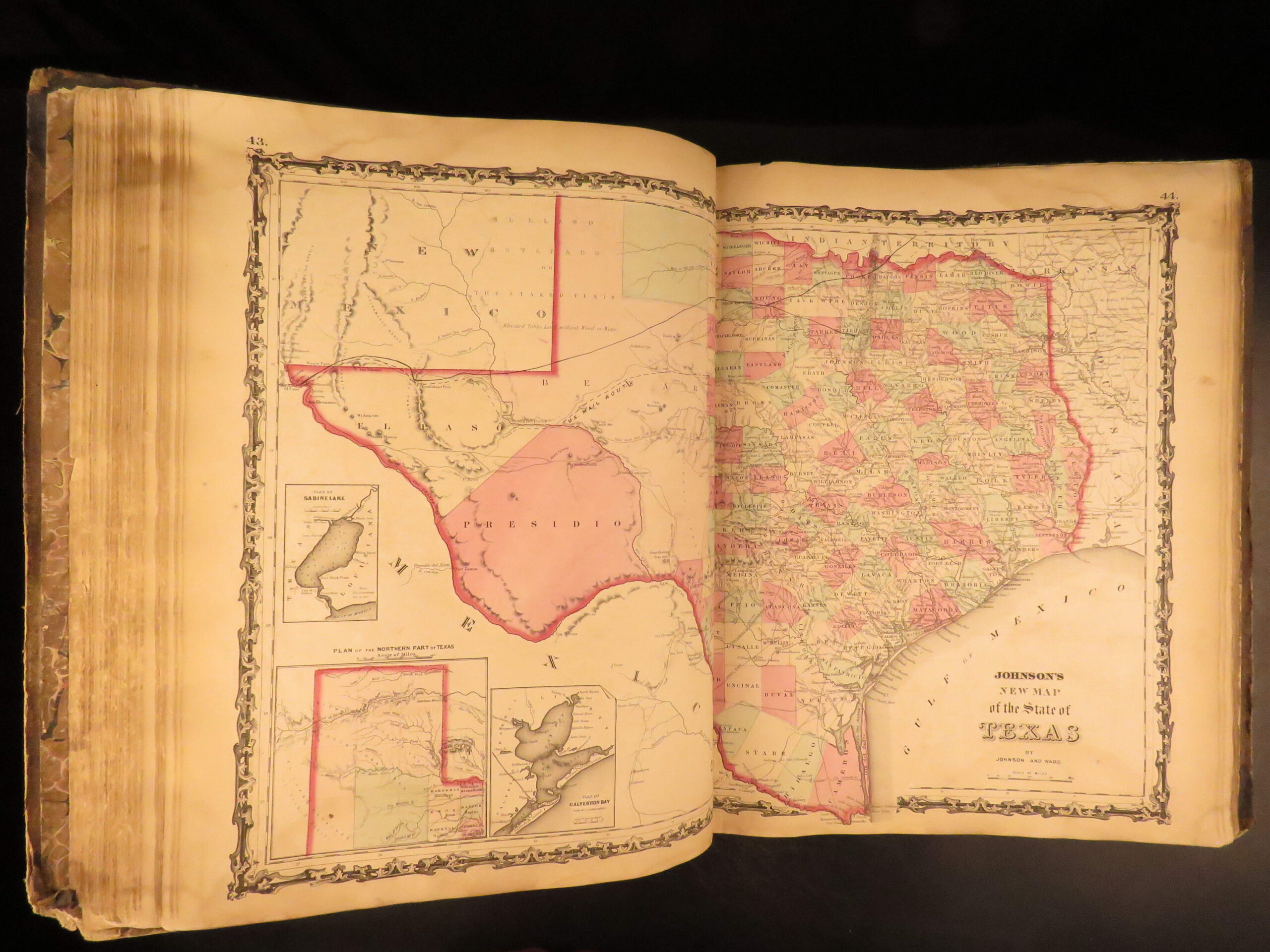
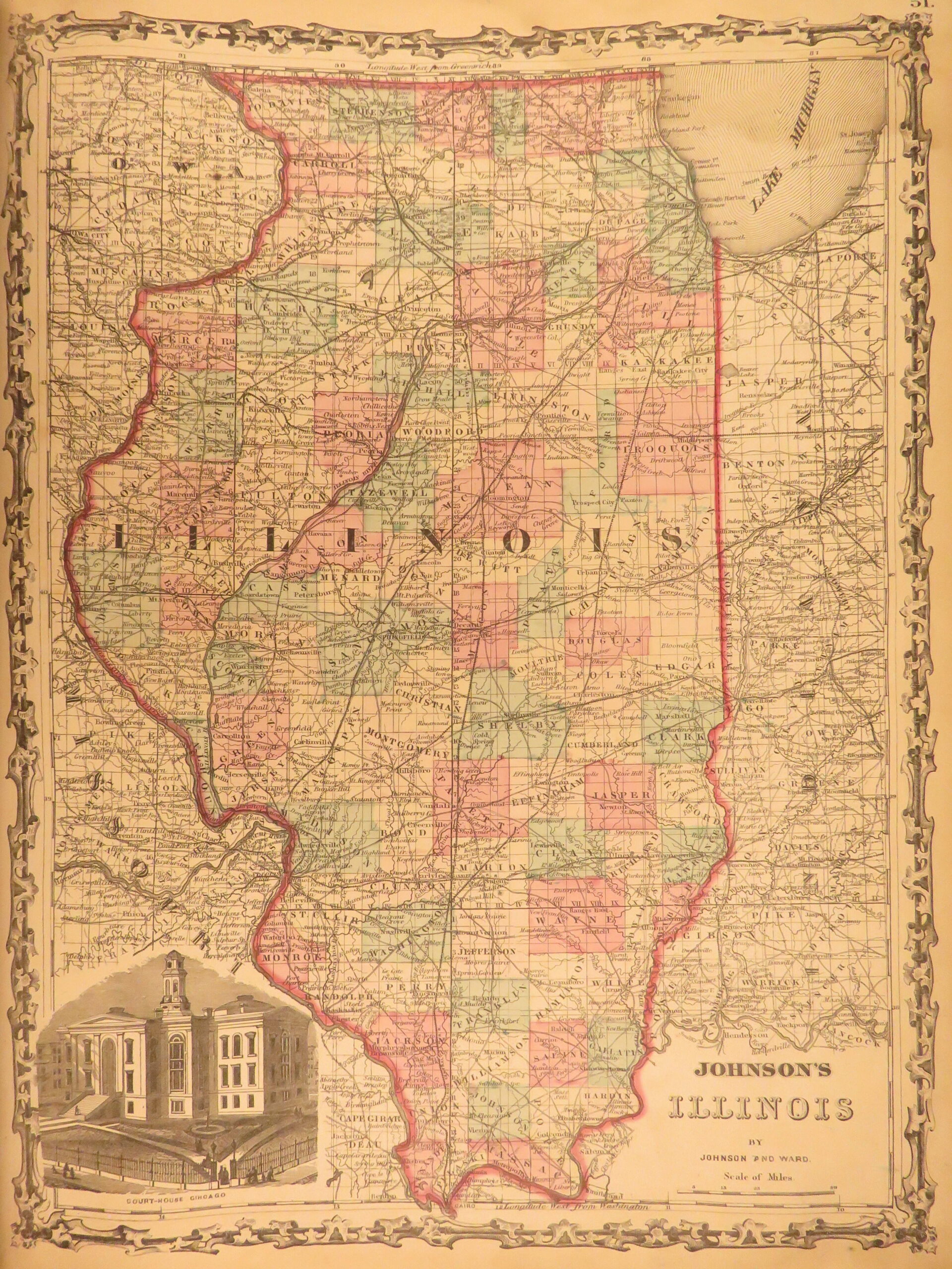
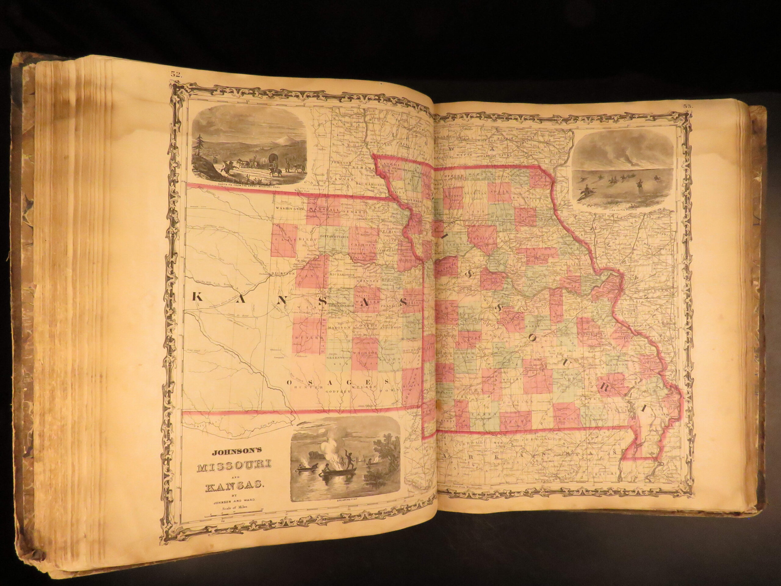
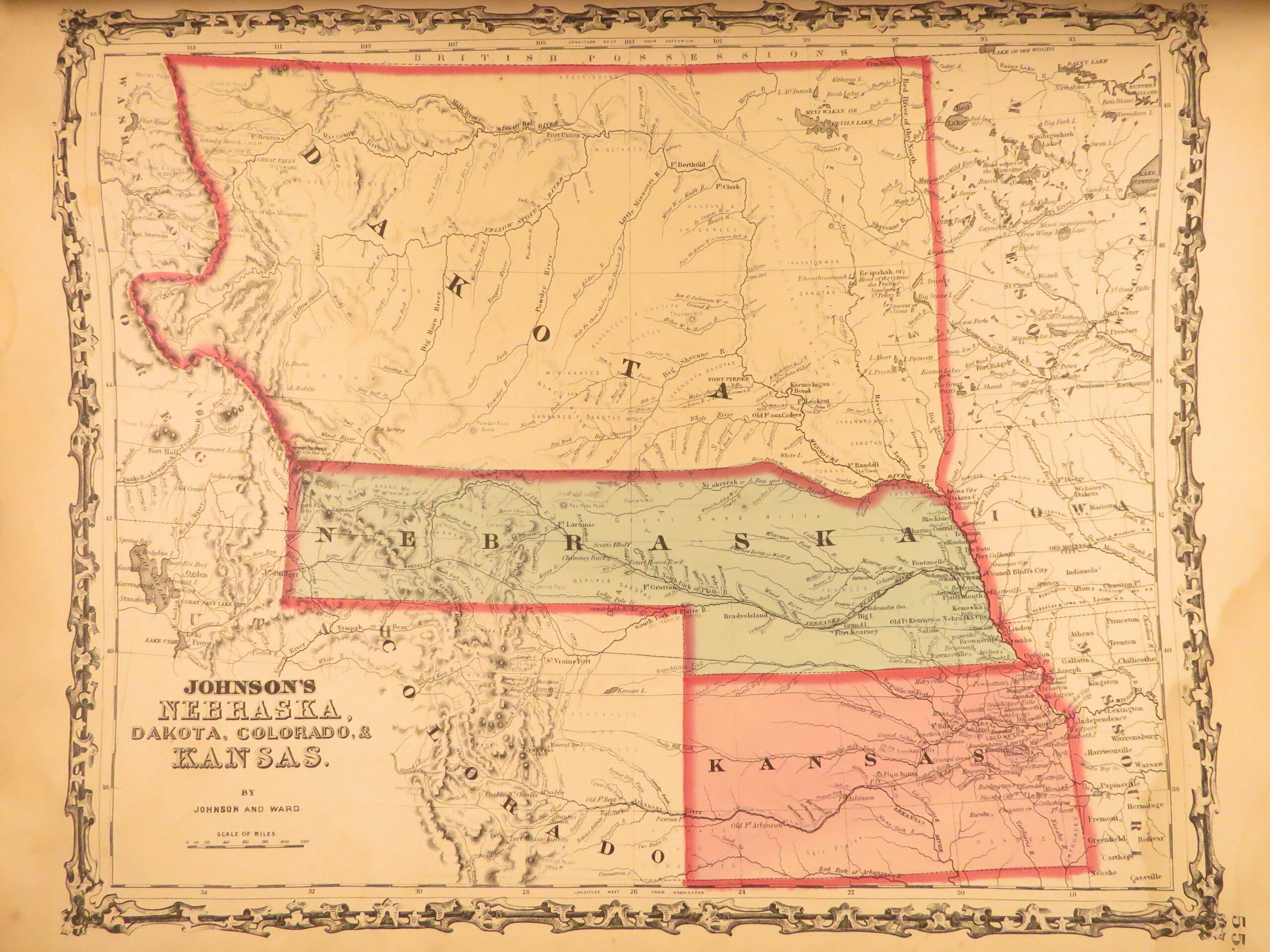
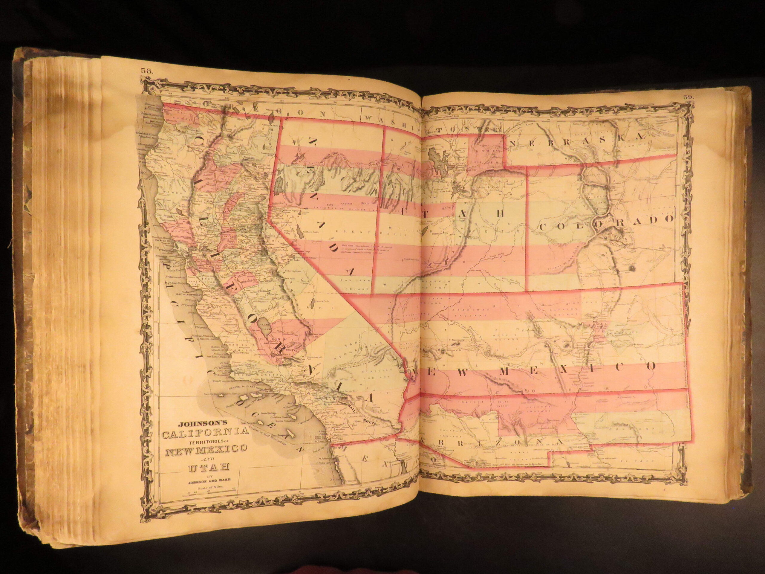
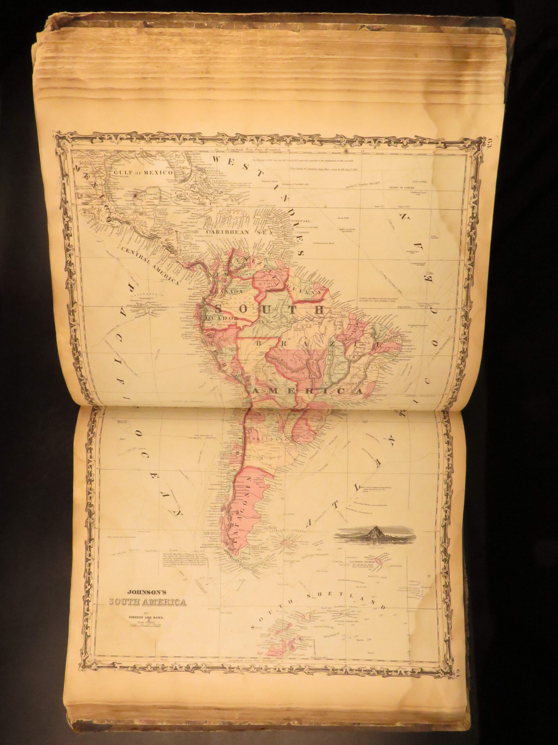
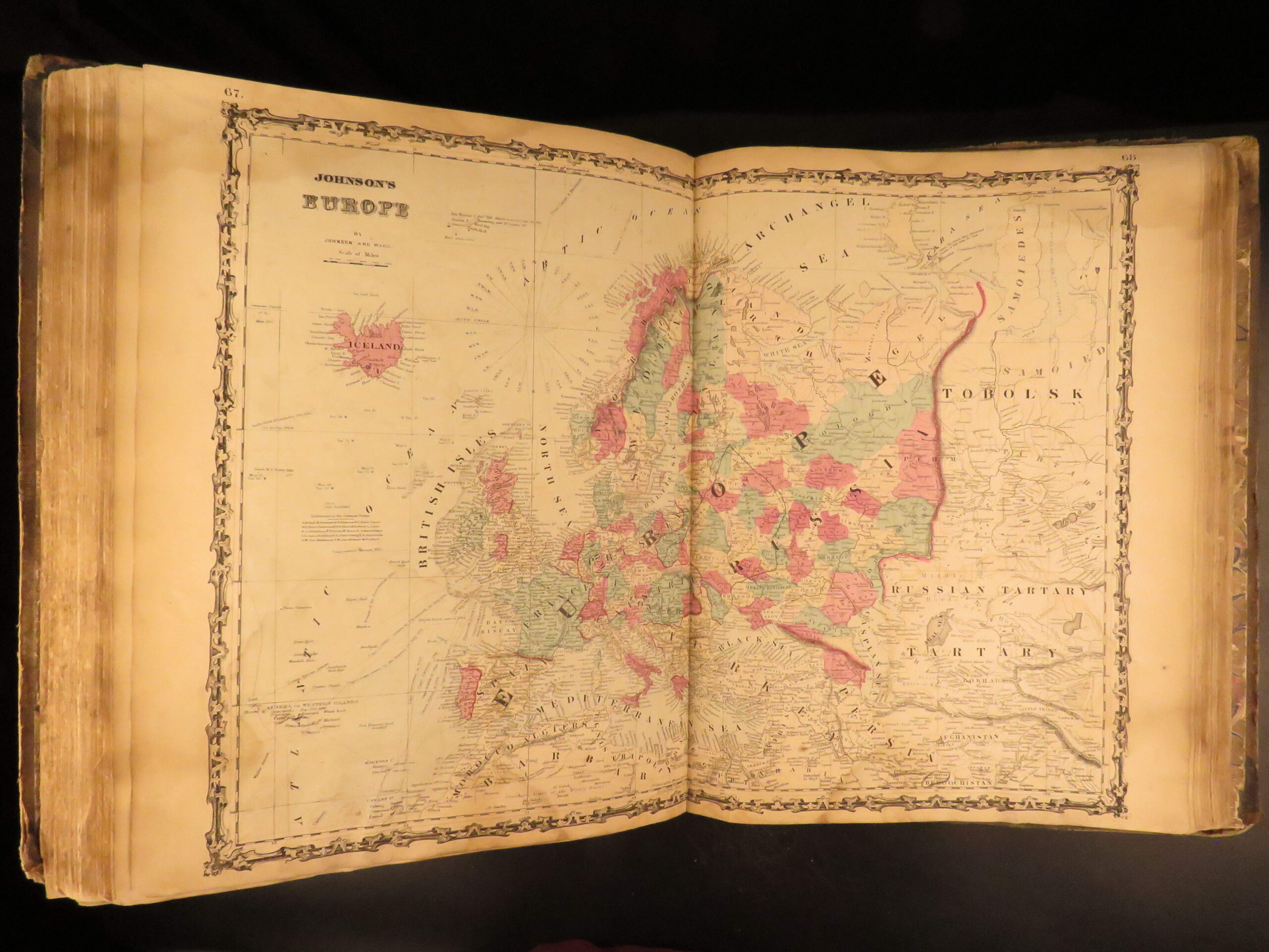
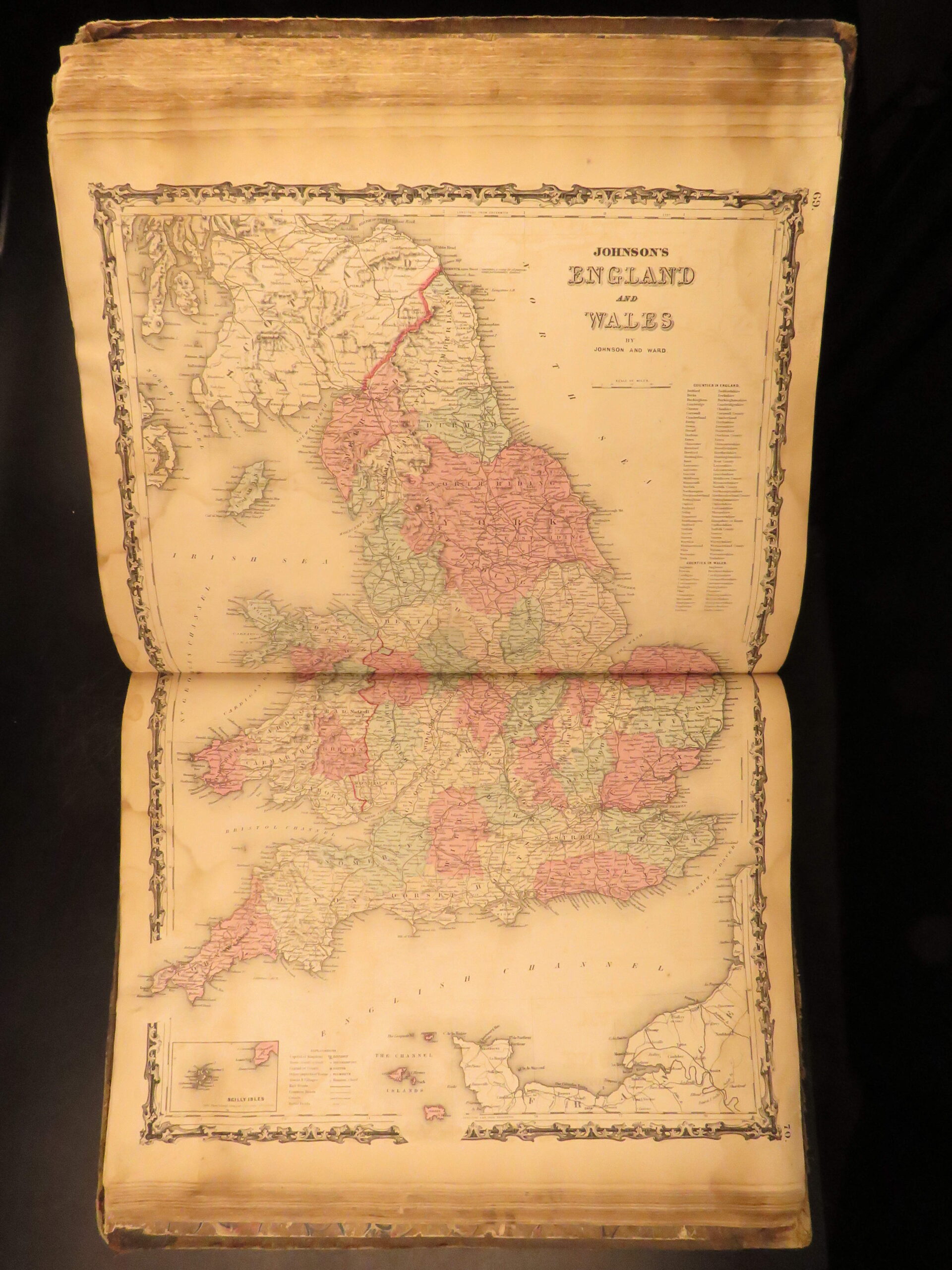
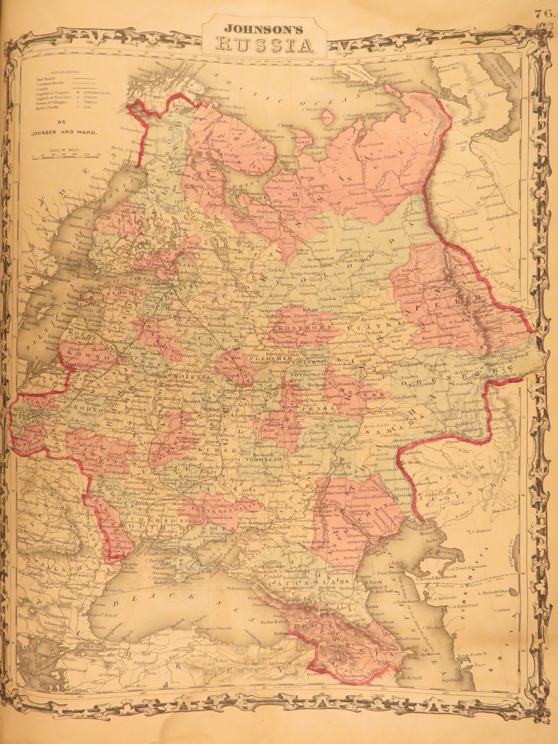
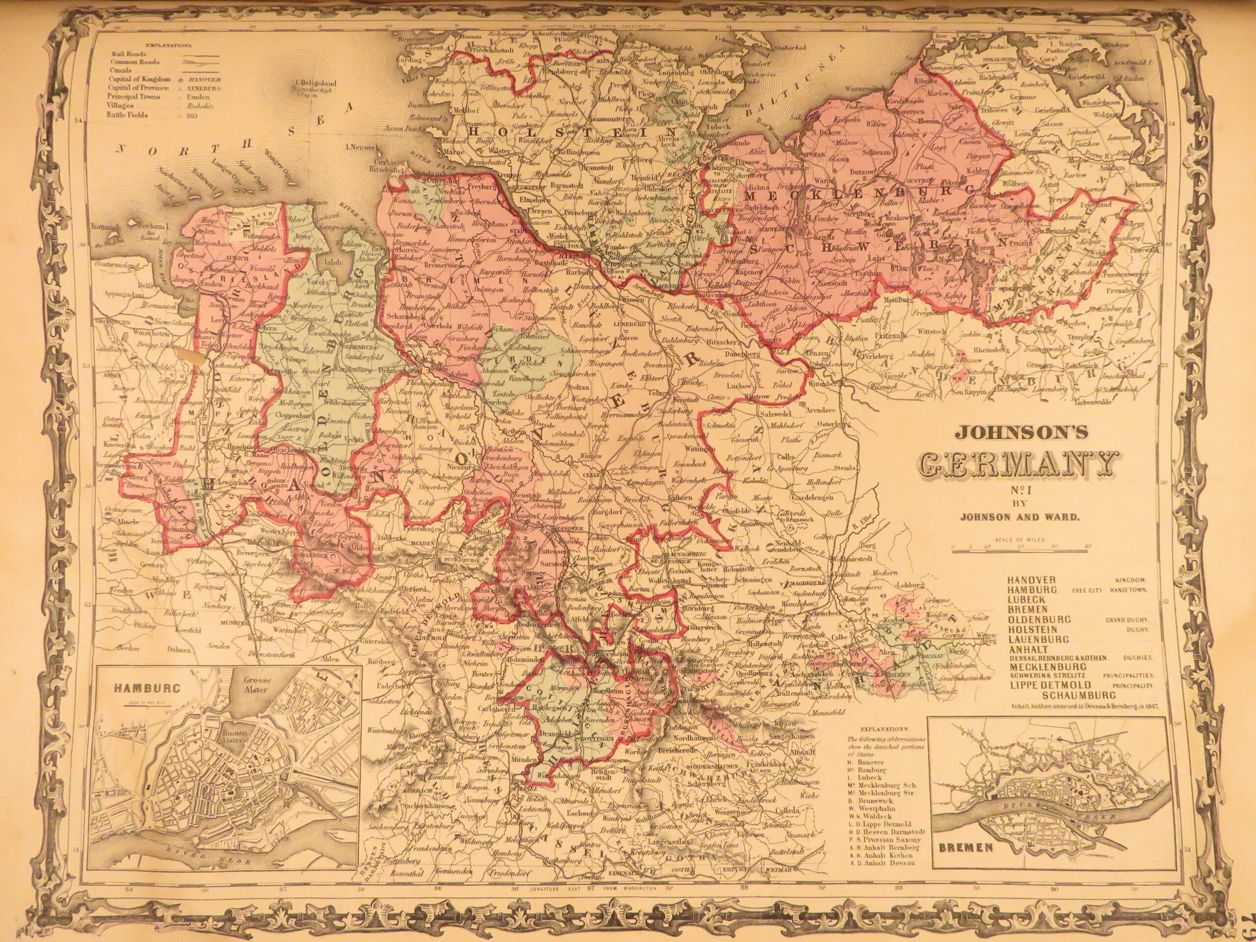
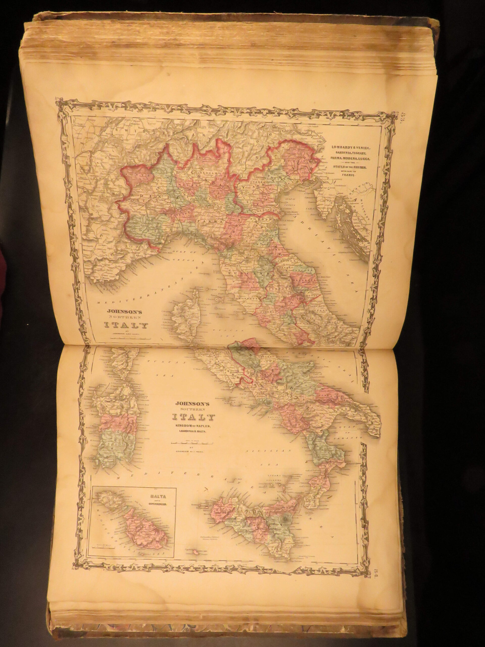
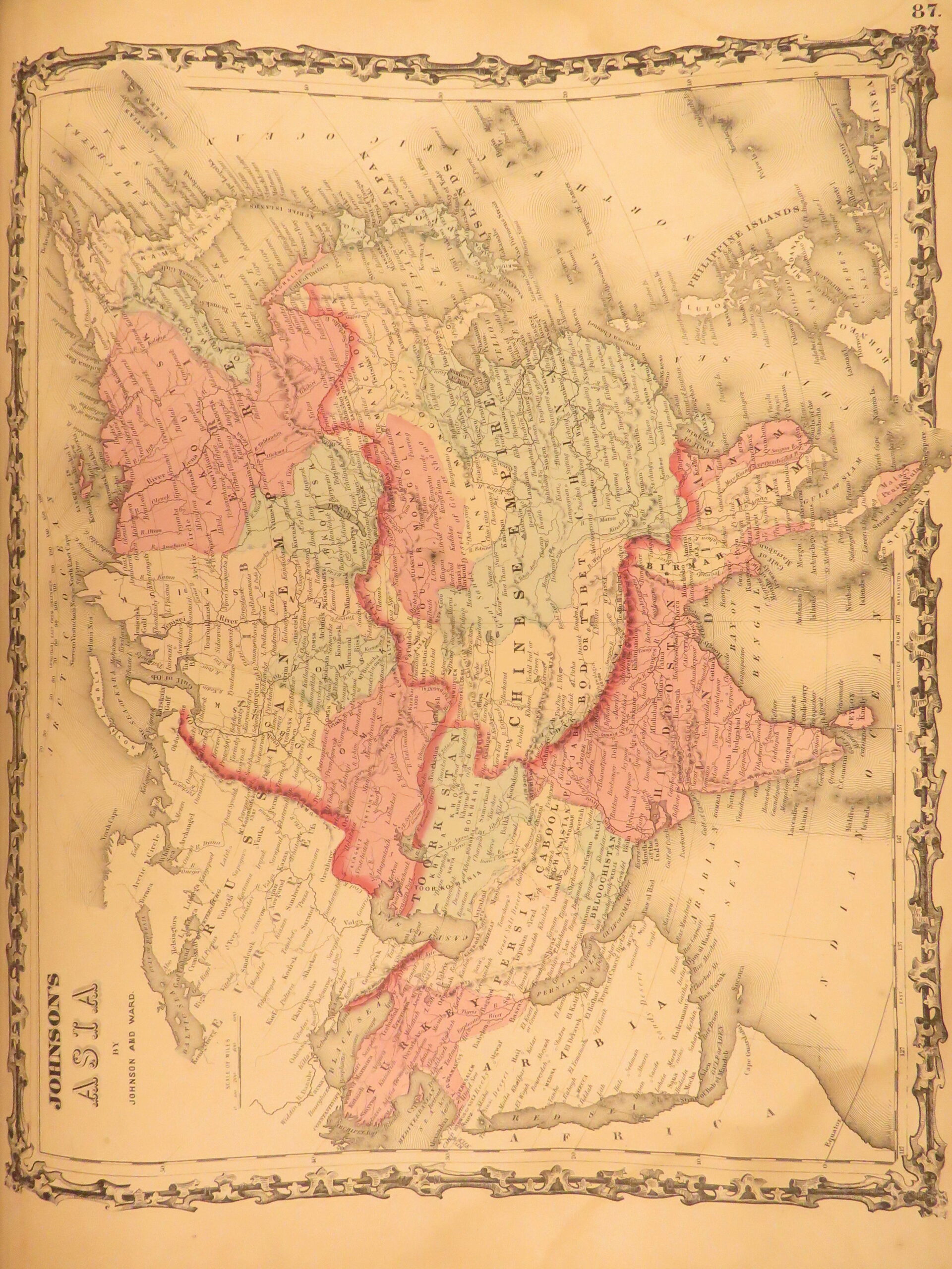

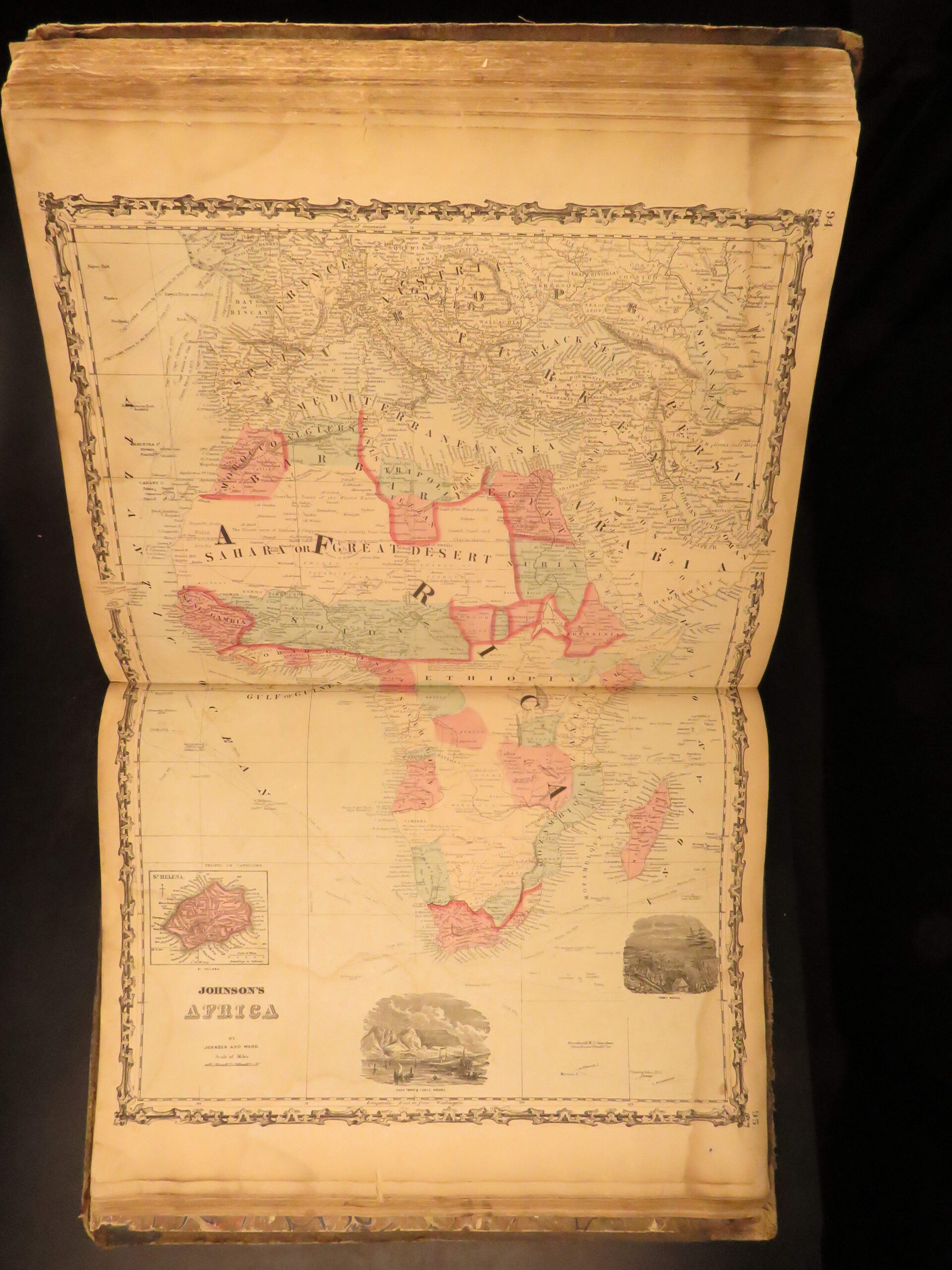
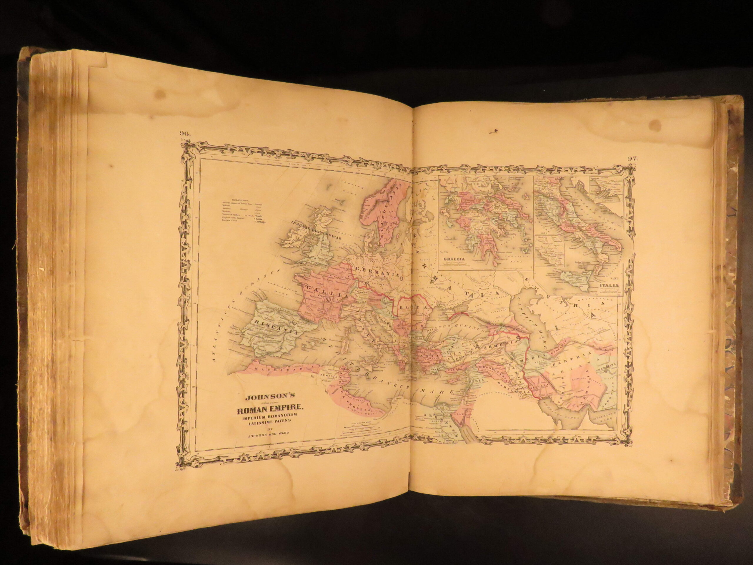
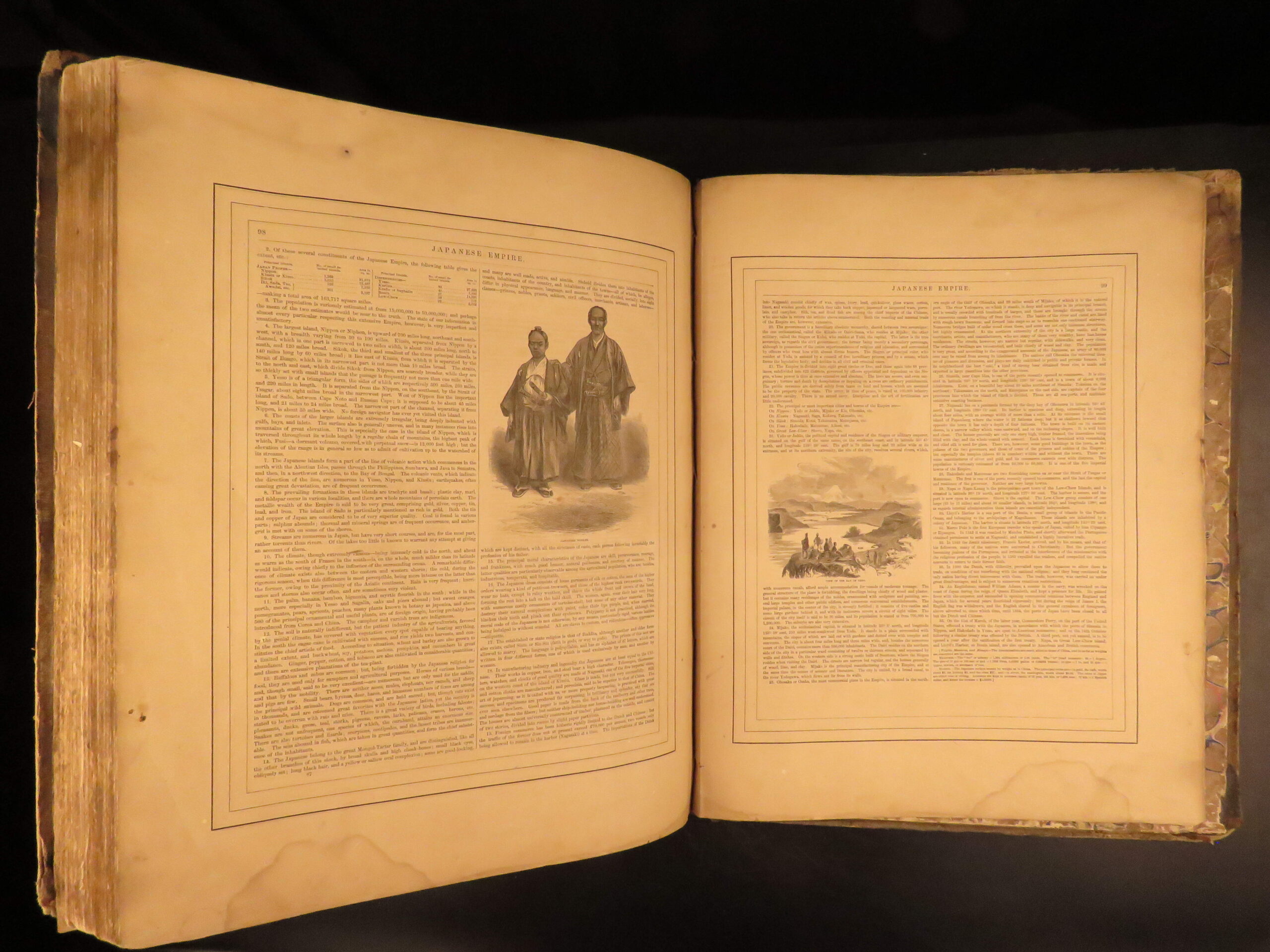
An incredible Civil War-era family atlas! This atlas consists of nearly 100 colored J.H. Colton maps of states, cities, United States, and countries of the world! Individual maps from this collection are highly sought after and can be found for sale for nearly $500 by themselves! The double-page illustration of the world maps is particularly fine. Alvin Johnson was a famous map publisher in the mid-19th-century.
Bibliographic Details
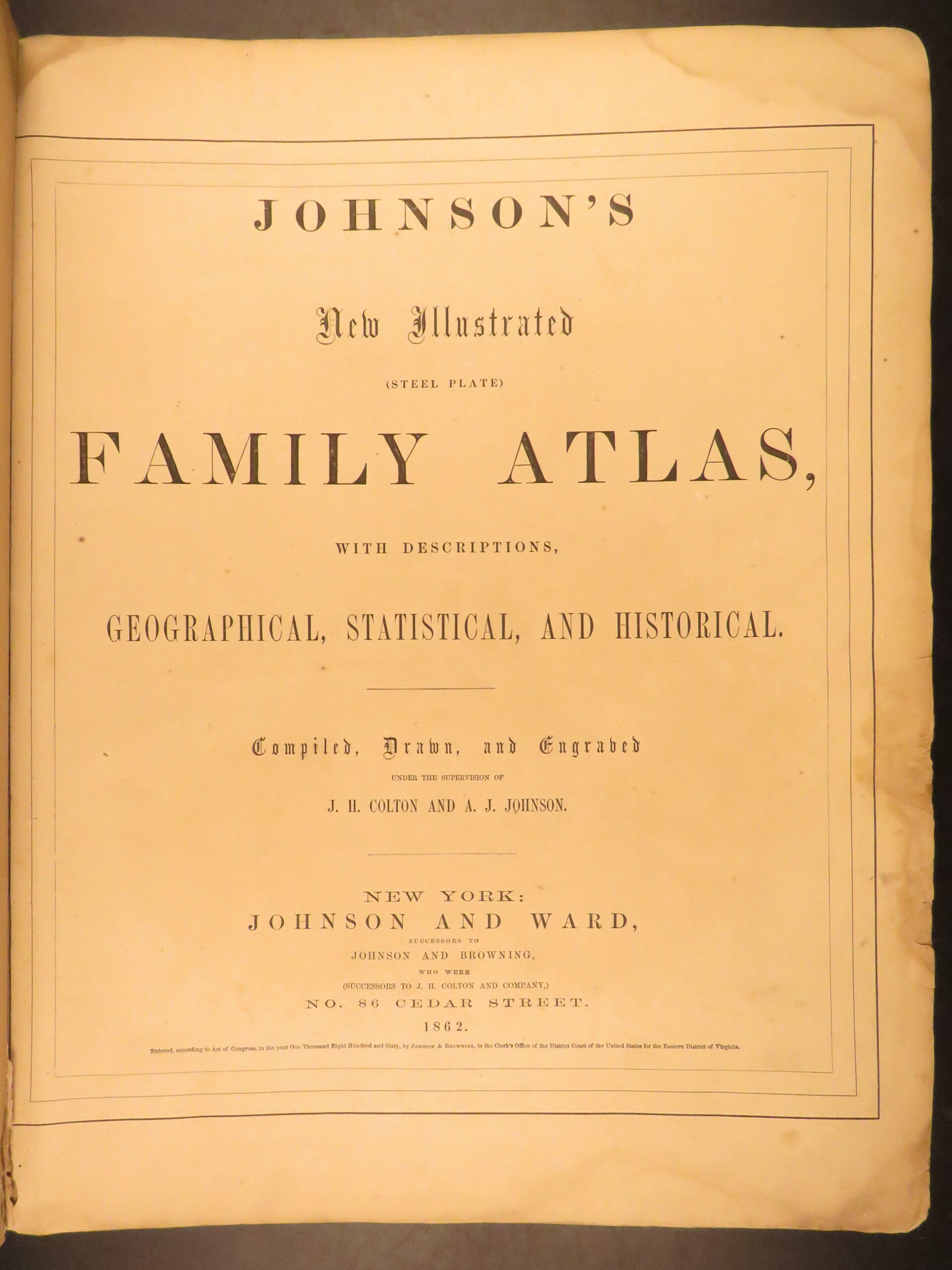
- Title: Johnson’s New Illustrated Family Atlas: With Physical Geography, and With Descriptions, Geographical, Statistical and Historical
- Author(s): Alvin Jewett Johnson
- Illustrator(s): J.H. Colton
- Publisher: New York, Johnson and Ward
- Edition: 1862.
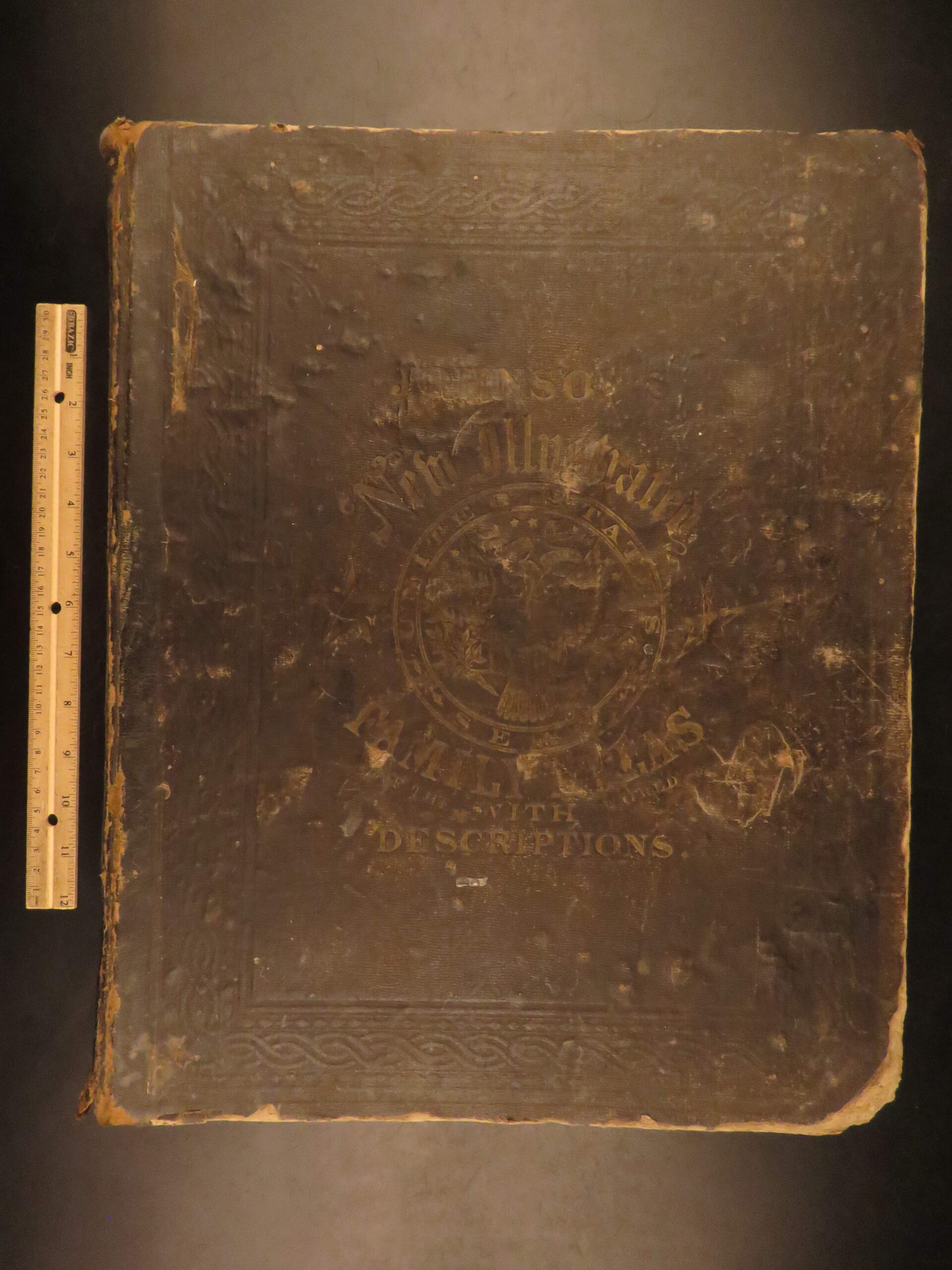
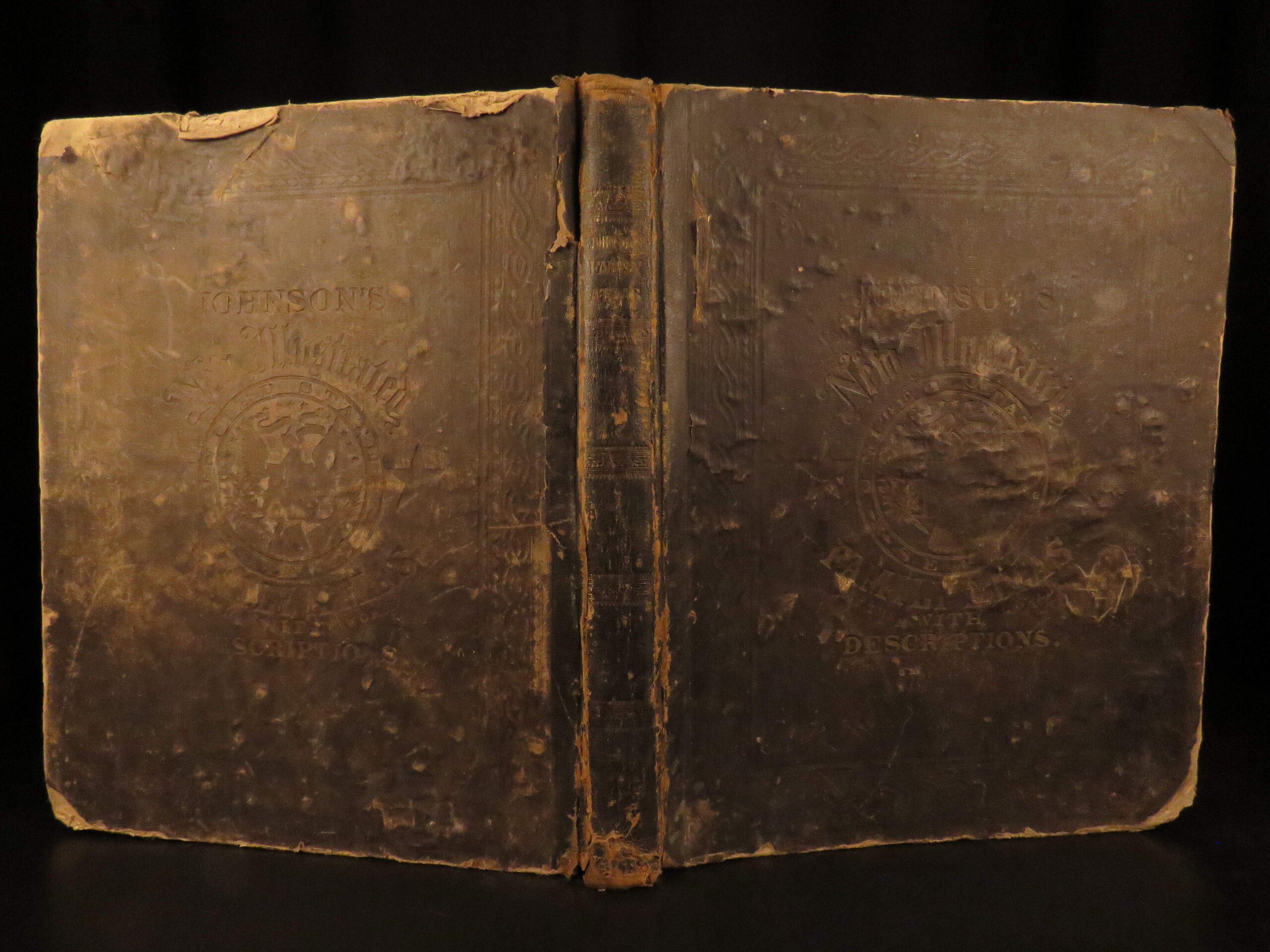
- Binding: Hardcover
- Format: Folio, single volume
- Size: 18.75 in x 15 in (47.5 cm x 38 cm)
- Collation: 99, [1]
- Illustrations: 97 hand-colored maps
- 99 maps numbered in contents, but no evidence of final map being extracted or lacking
- Contents Include:
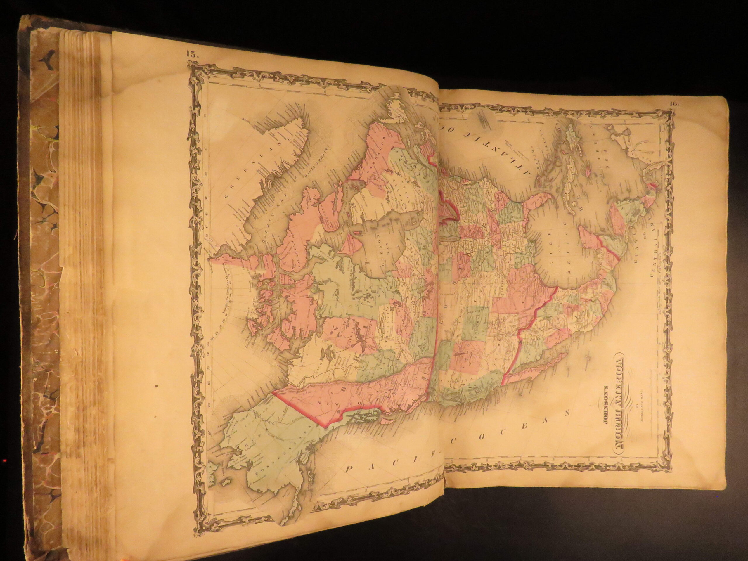
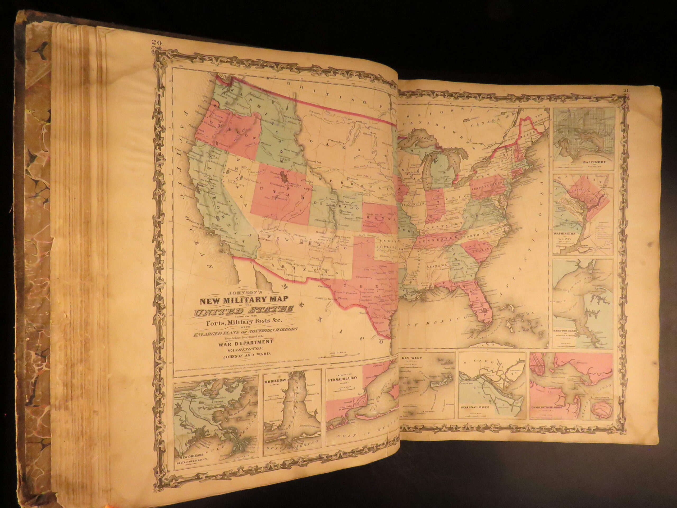
- World and U.S. state maps
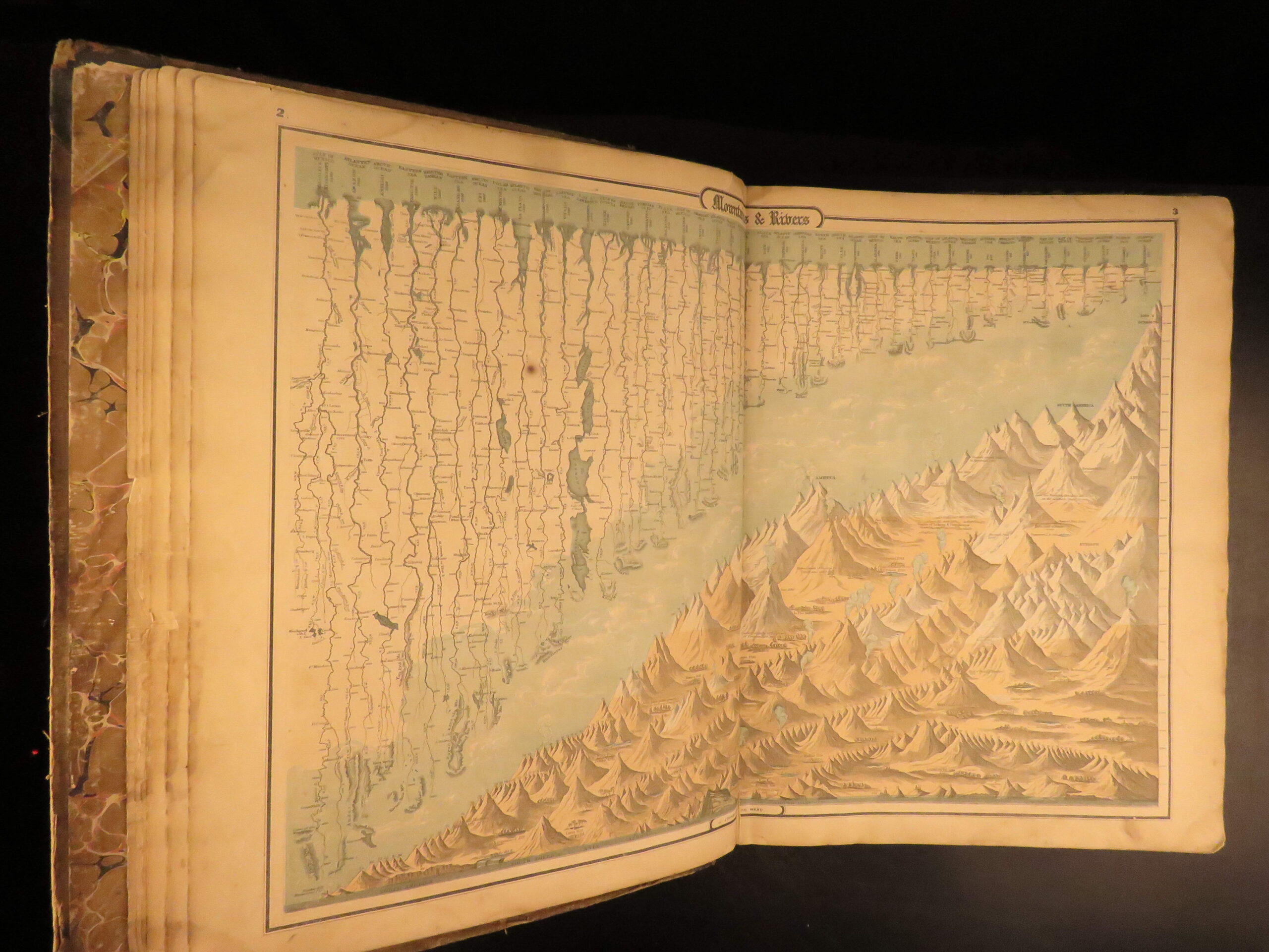
- Double-page hemispheric maps
- Geographical and historical summaries
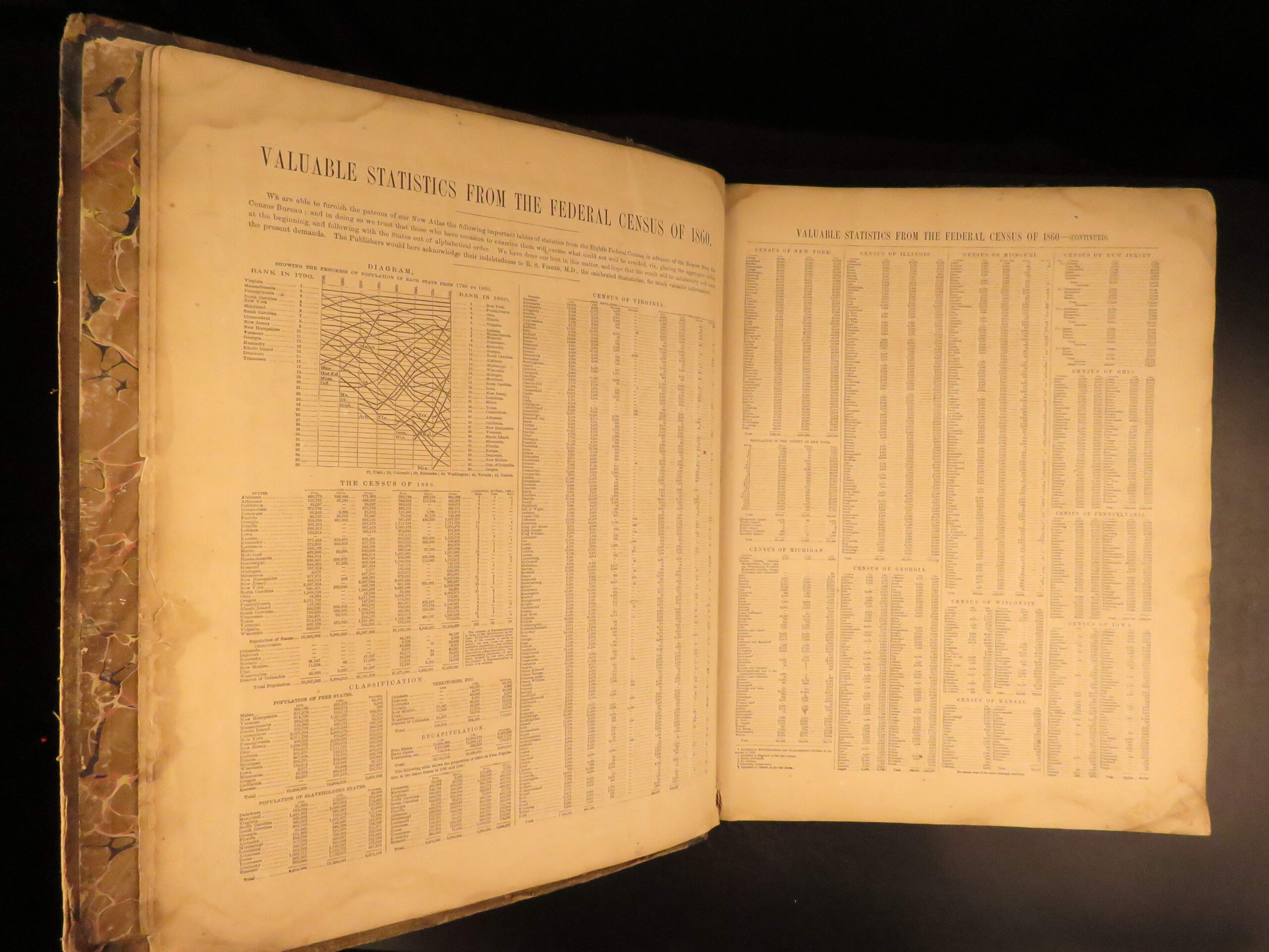
- Statistical charts and data section
Condition:
Good. Hardcover binding is rubbed and stained, with pulling at the hinges though the text block remains secure. Corners are worn with minor loss. Internally, maps are clean. Missing two maps from the original set.
Why Collect This?
- Massive 1862 atlas issued during the Civil War
- original hand-colored maps by J.H. Colton
Item Number: # 29955
Categories
Americana, American History
Military & War
Civil War
Voyages & Exploration & Maps
Authors
Alvin Jewett Johnson
Printing Date
19th Century
Language
English
Binding
Hardcover
Book Condition
Good
Other Books you might like...
-
Sale!
 Add to cart
1866 Garnier-Pages History of 1848 French Revolution France Napoleon III 8v SET
Original price was: $550.00.$450.00Current price is: $450.00. -
Sale!
![[handwritten letter]. Augustus Keppel.](https://www.schilbantiquarian.com/wp-content/uploads/2019/10/Handwritten-Letter-Ship-Saphire-Keppel-1745-0-300x300.jpg) Add to cart
Add to cart1745 Admiral Keppel SIGNED Handwritten Letter Royal Navy British Ship Saphire
Original price was: $499.00.$399.00Current price is: $399.00. -
Sale!
 Add to cart
1680 Gentleman’s Dictionary Horse Riding Equestrian Navigation Military Guillet
Original price was: $499.00.$450.00Current price is: $450.00. -
Sale!
 Add to cart
1690 Nicolas de FER French Fortification Atlas Military Illustrated Star Forts
Original price was: $950.00.$795.00Current price is: $795.00.