1804 – World Gallery | Persia & Middle East – Color Illustrated, Black Sea Map

Gallerie der Welt, Berlin 1804, Volume IV, contains 15 hand-colored plates and a map depicting regions of the Near East, with views of Shiraz, Palmyra, and Baalbek alongside ethnographic scenes.
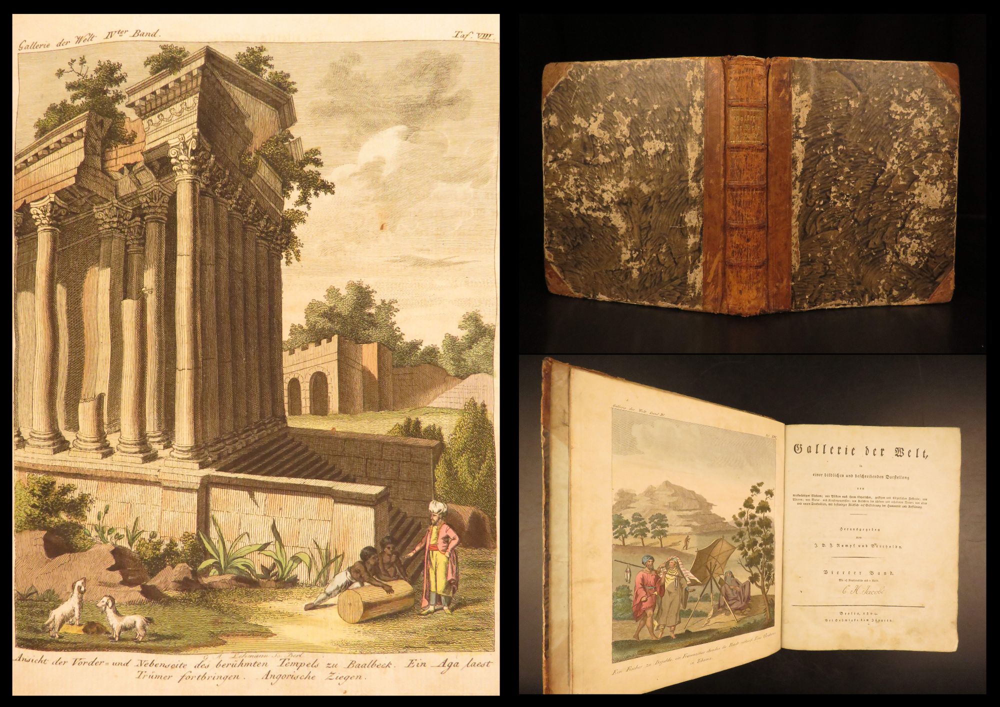
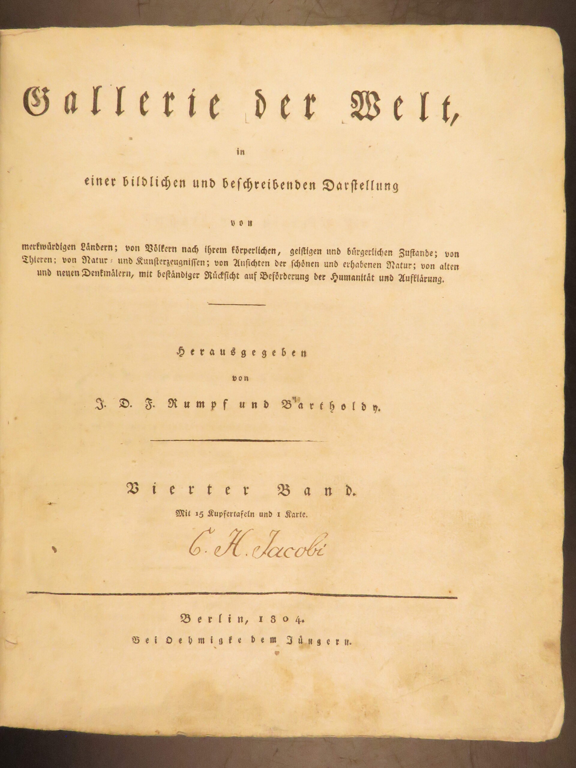

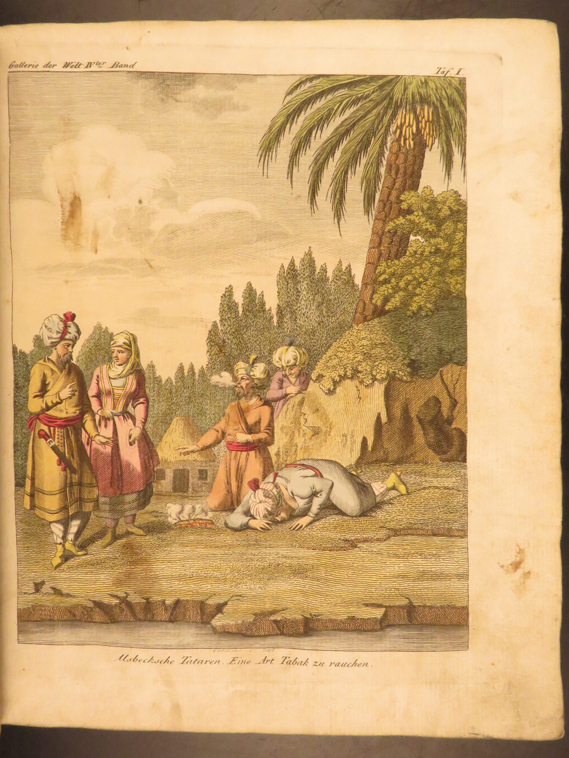
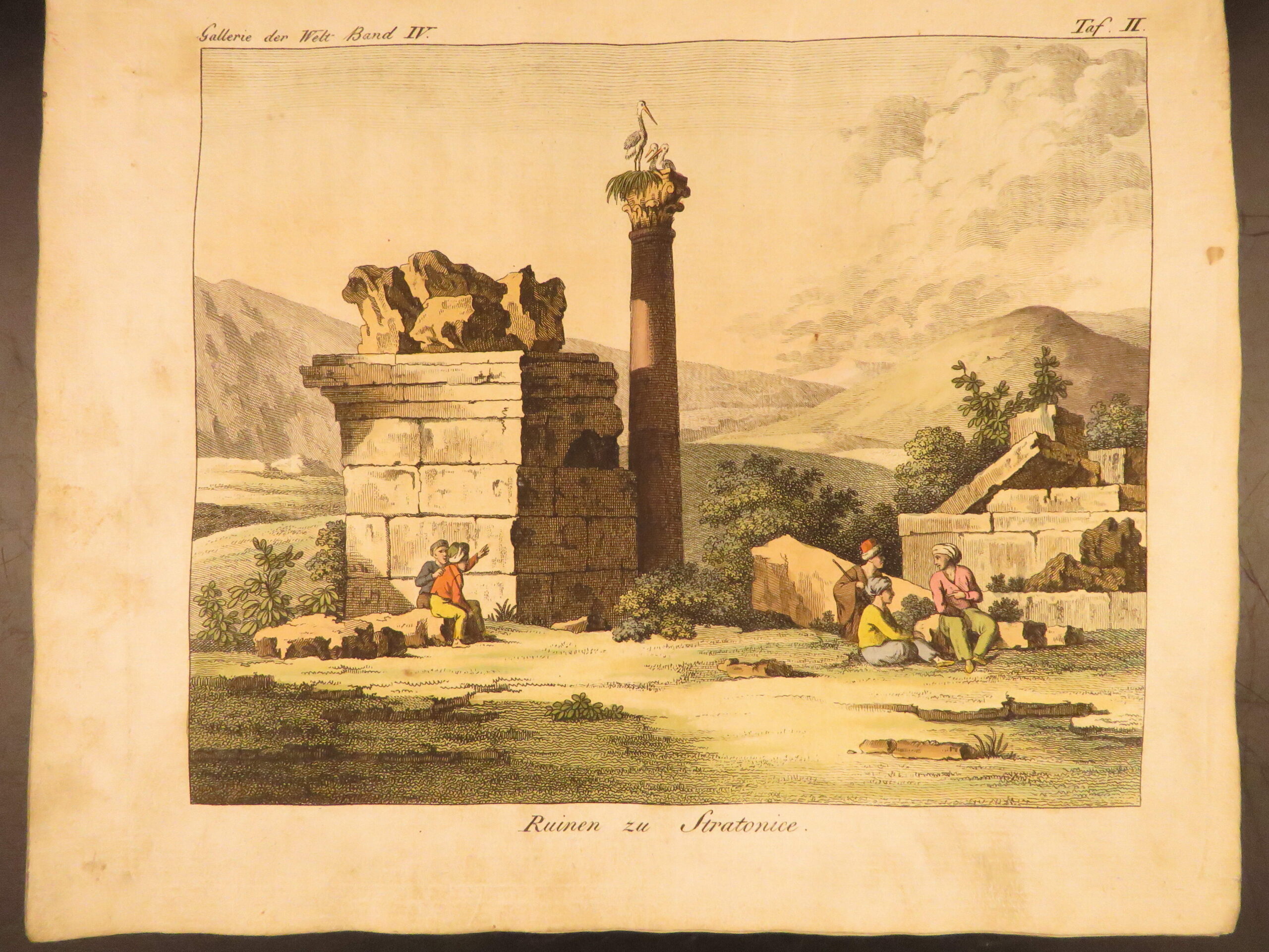
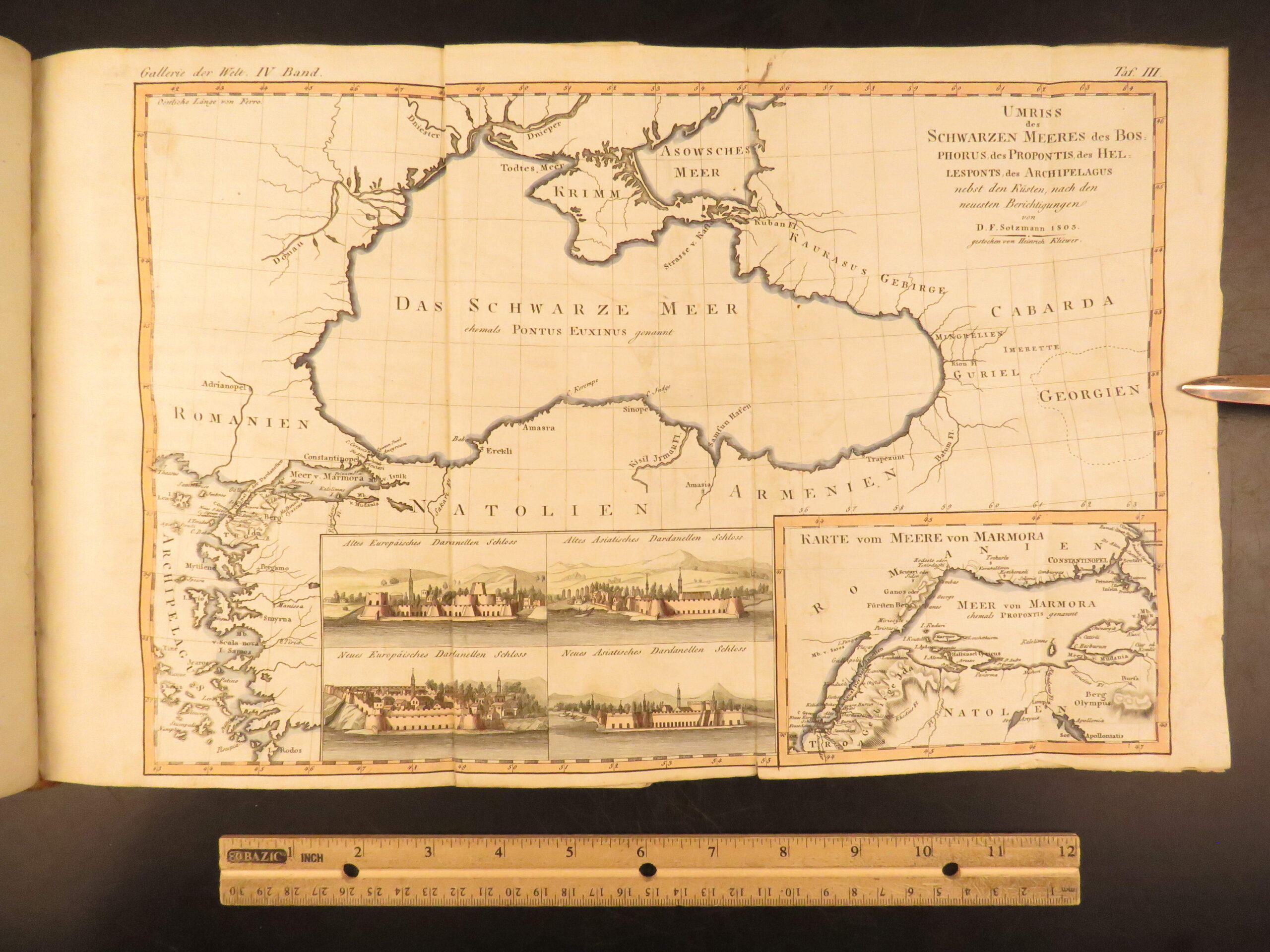
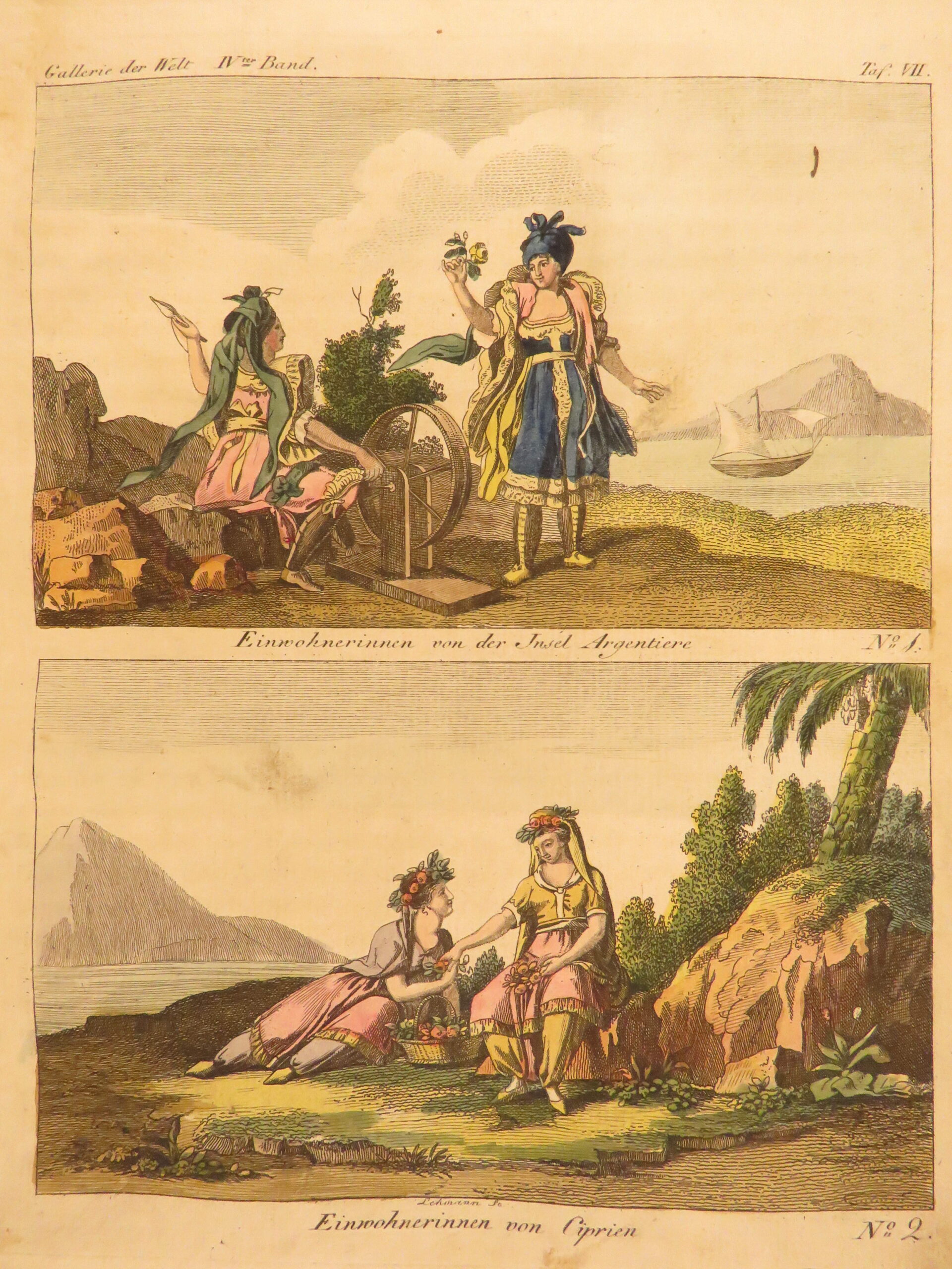
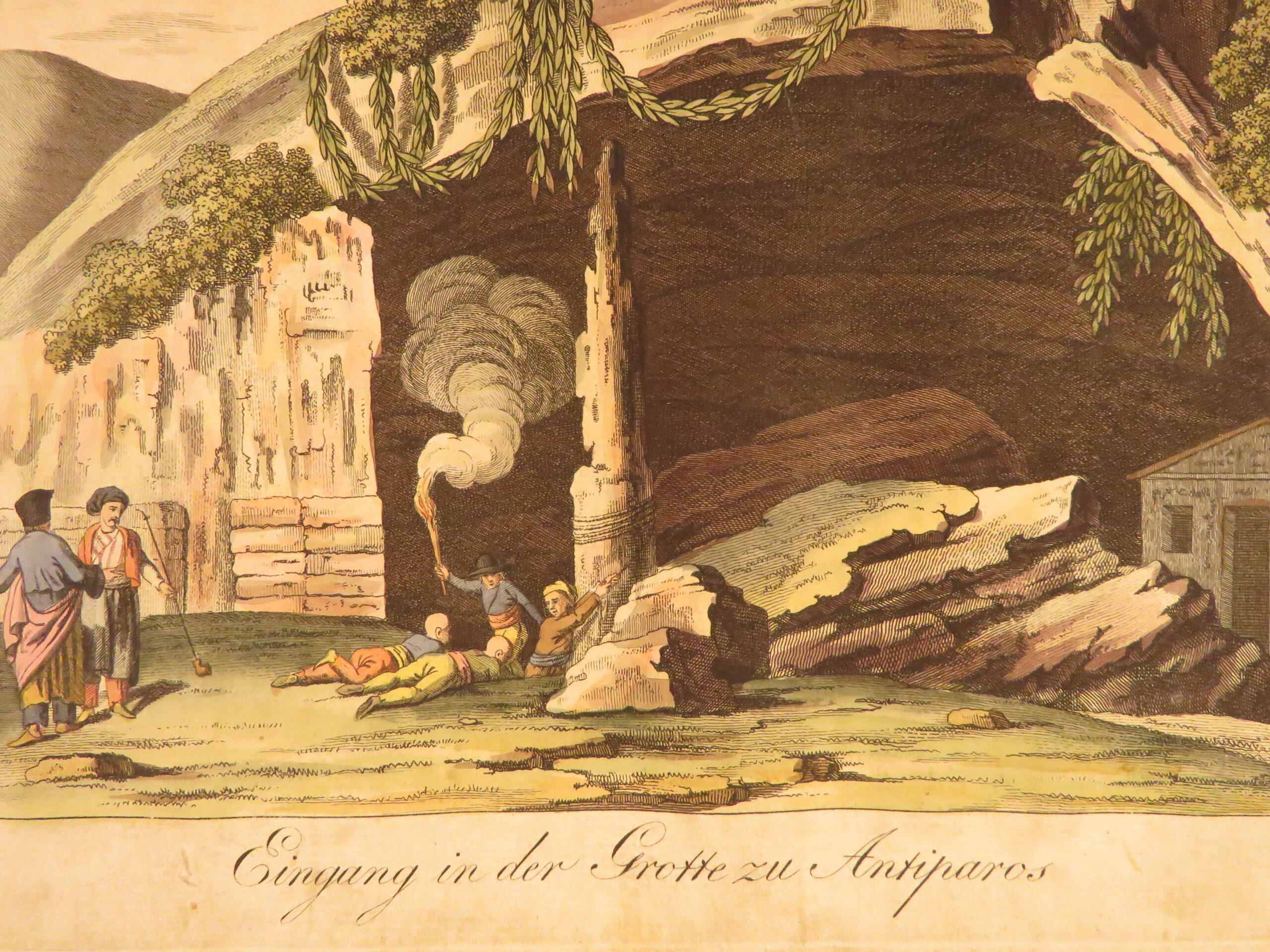
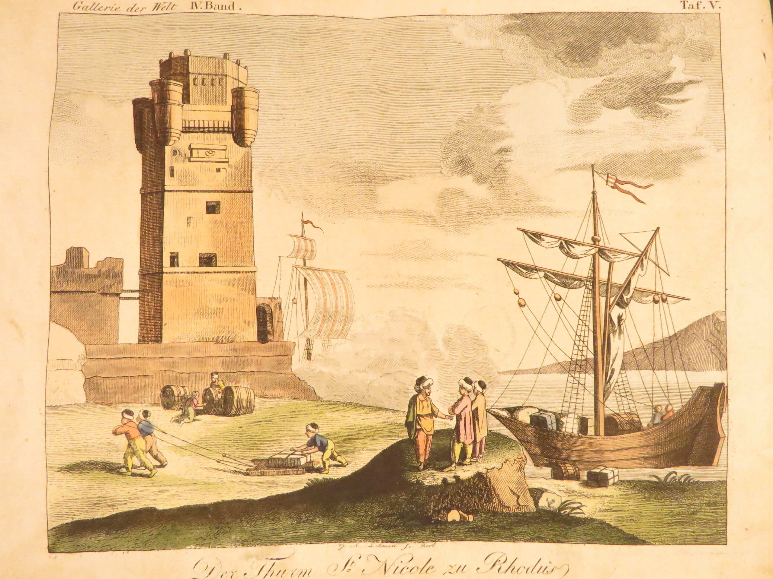
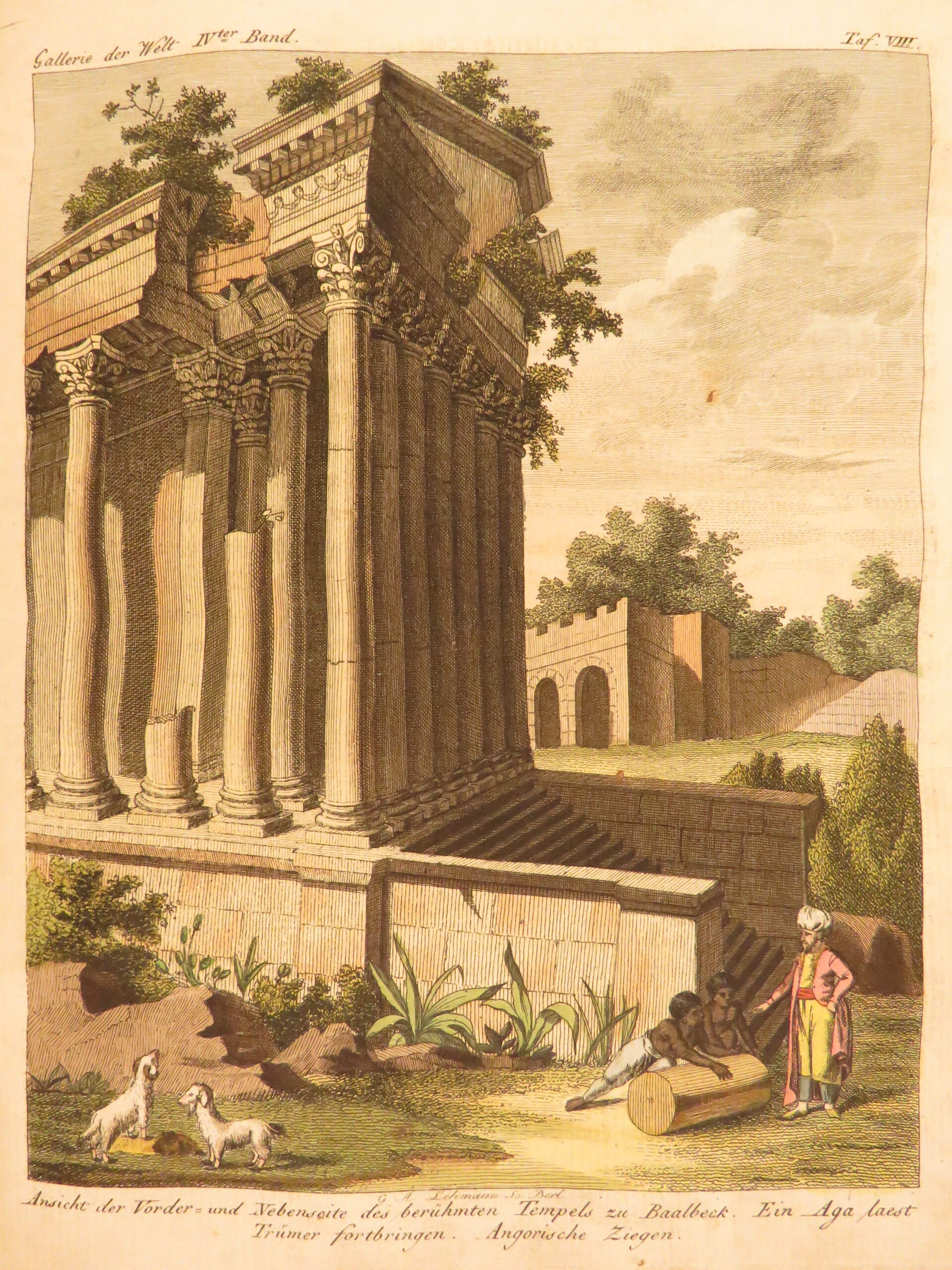
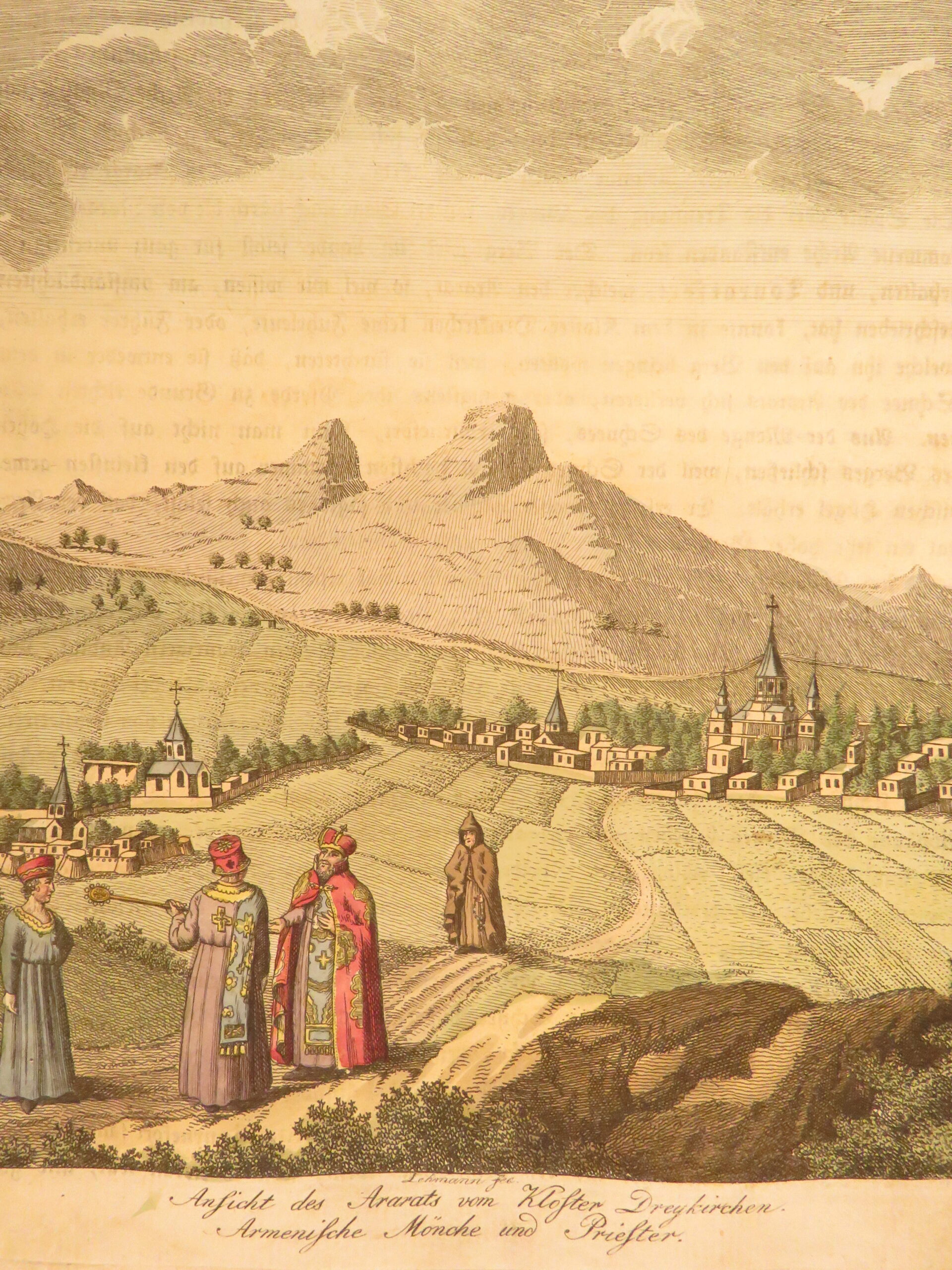
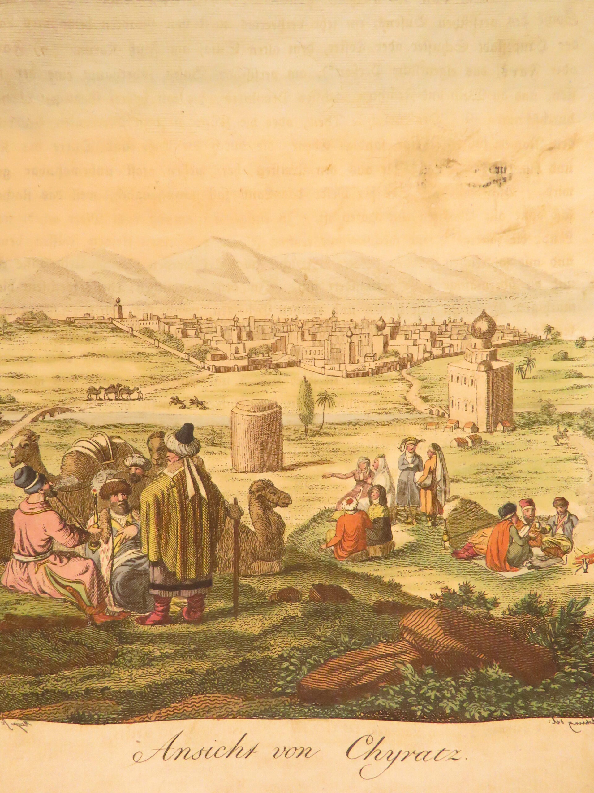
Gallerie der Welt, by Johann Daniel Friedrich Rumpf and Georg Wilhelm Bartholdy (1804) is an illustrated history of the world. This volume, Part IV, contains hand-colored plates depicting regions and peoples across the Near East and Mediterranean. Subjects include views of Shiraz, Palmyra, and Baalbek, along with depictions of local dress and customs. The inclusion of a map of the Black Sea and surrounding regions adds geographic context to the visual material.
Bibliographic Details
- Title: Gallerie der Welt, in einer bildlichen und beschreibenden Darstellung
- Author(s): Johann Daniel Friedrich Rumpf; Georg Wilhelm Bartholdy
- Publisher: Oehmigke, Berlin
- Edition: 1804 printing, Volume IV only.
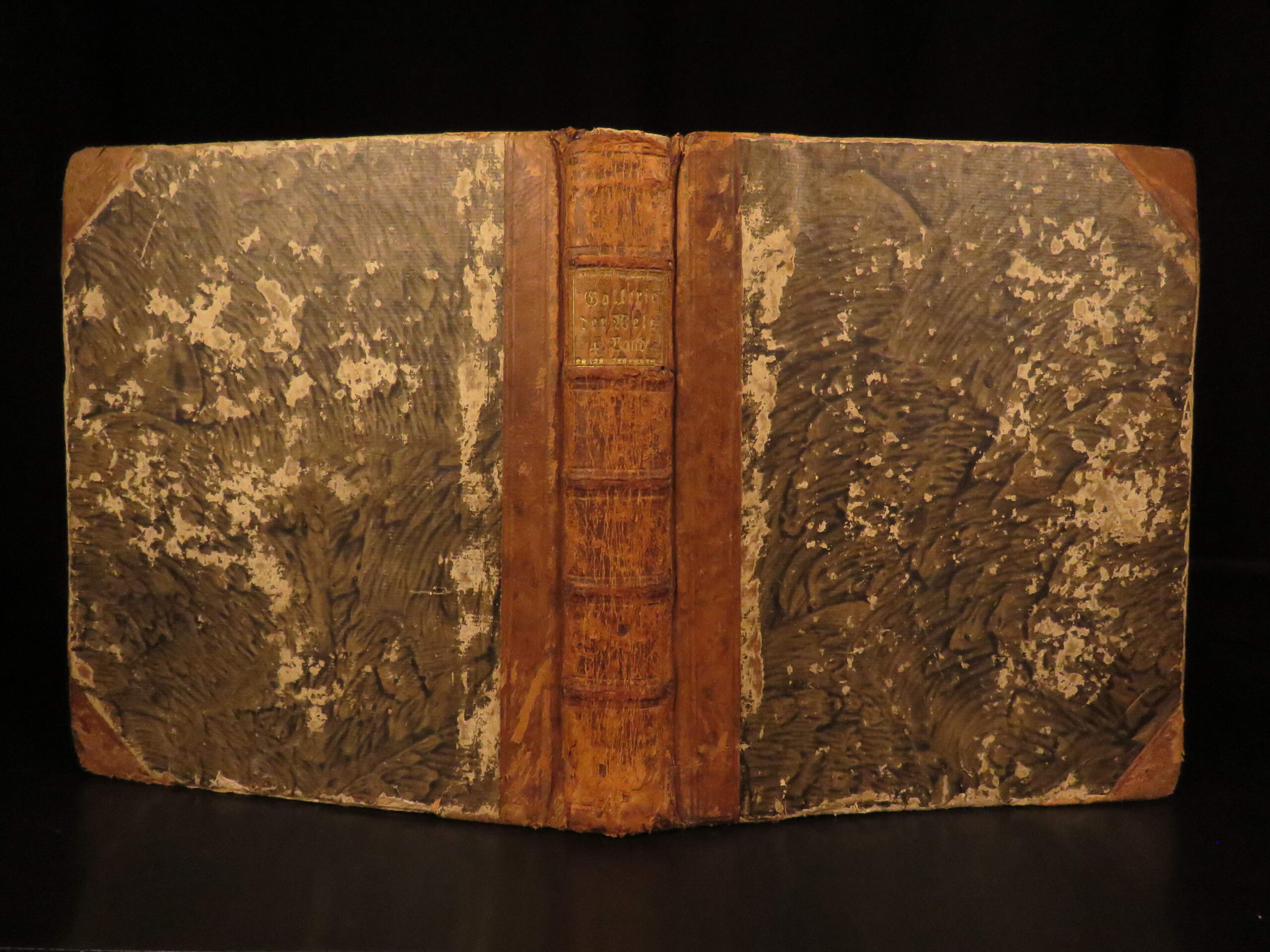
- Binding: Full leather
- Format: (4to), single volume
- Size: 8.75 in x 8.5 in (22 cm x 22 cm)
- Collation: 400 pp
- Illustrations: 15 hand-colored plates; 1 map
- Contents Include:
- Map of the Black Sea and surrounding regions
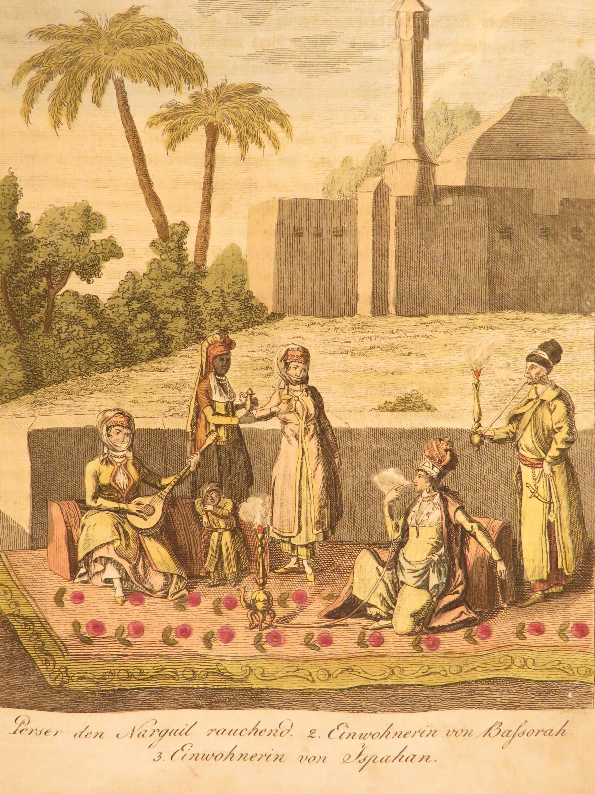
- Views of Shiraz, Palmyra, and Baalbek
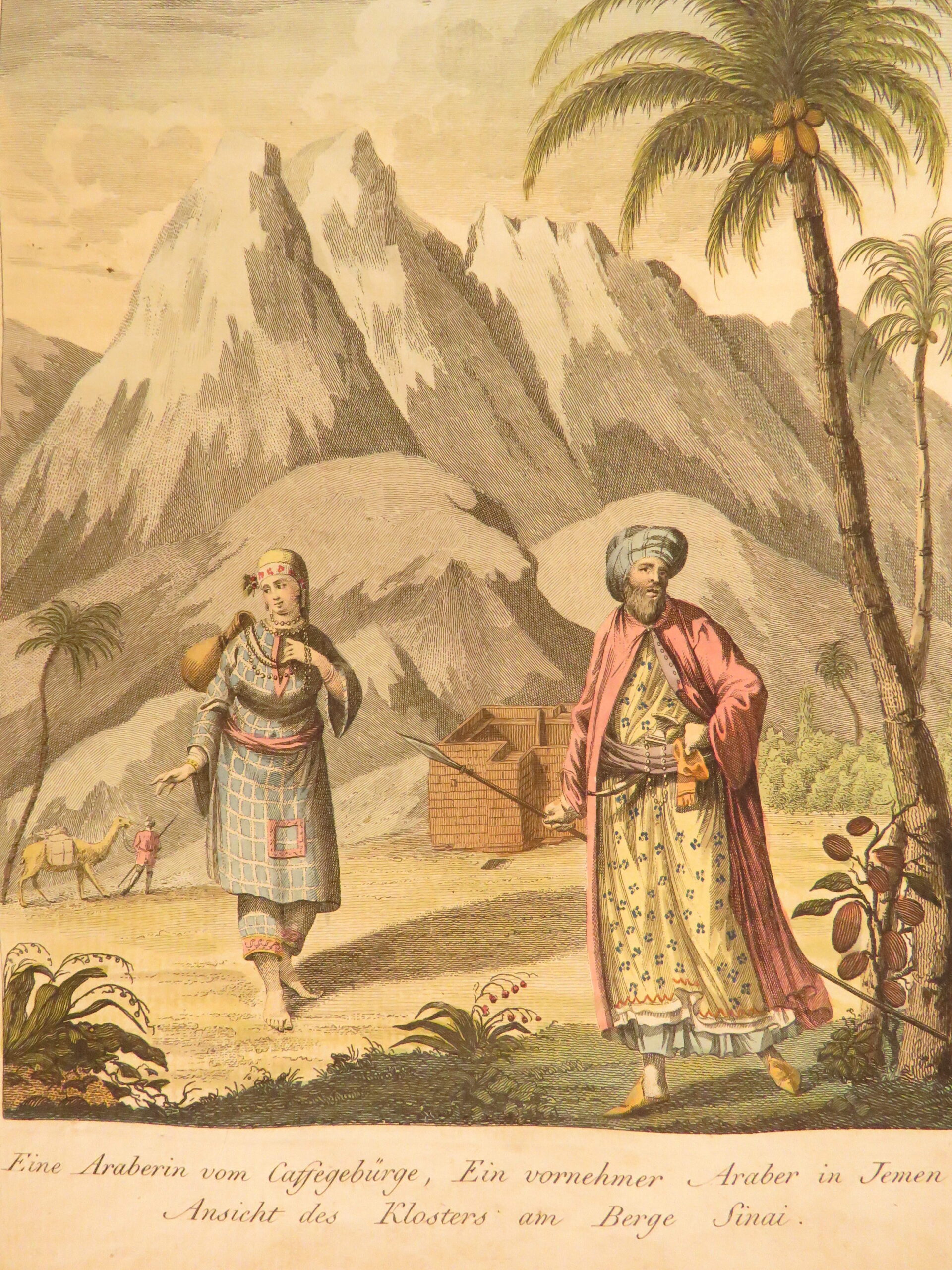
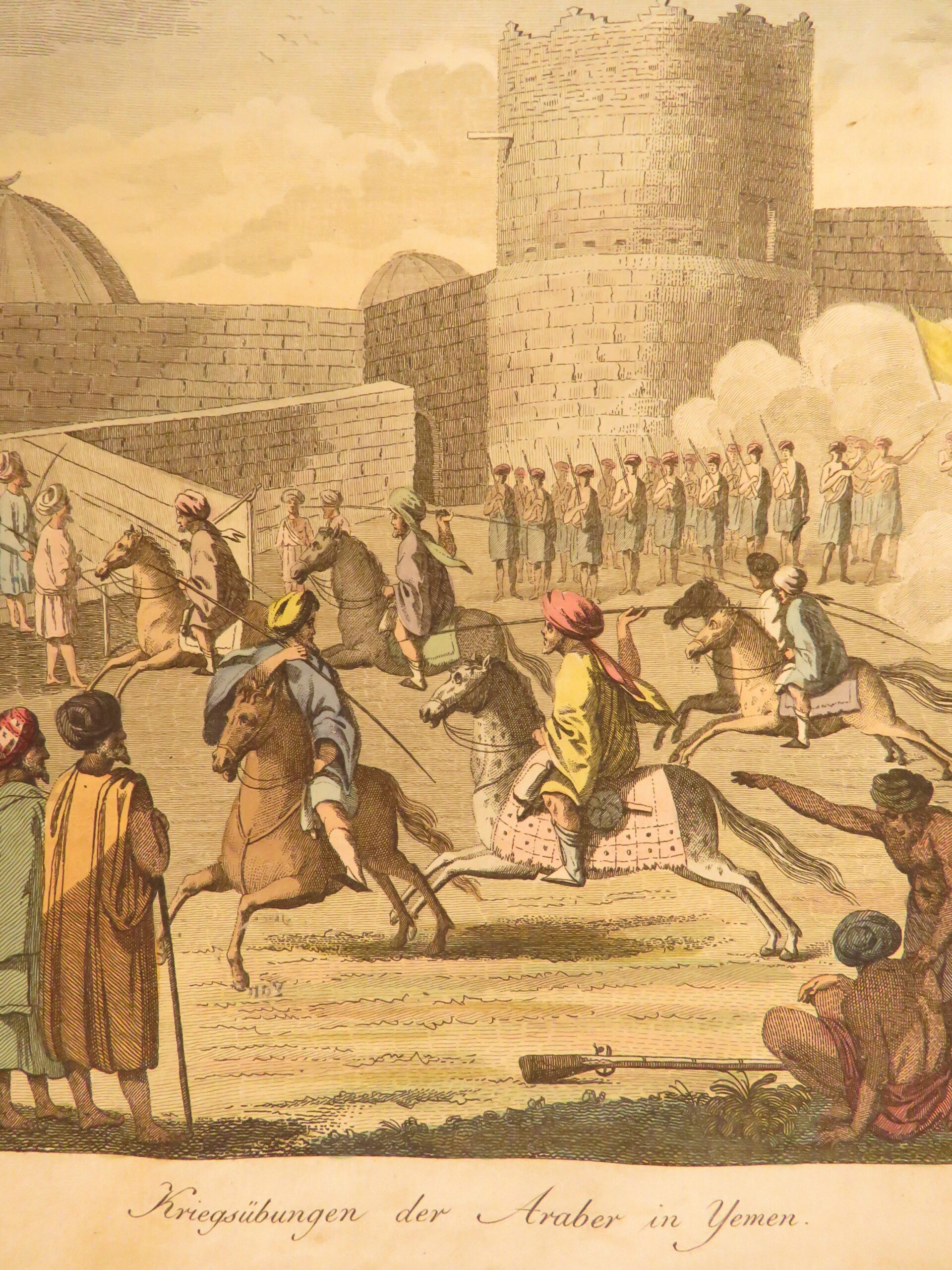
- Depictions of Cyprus, Yemen, and Persian regions
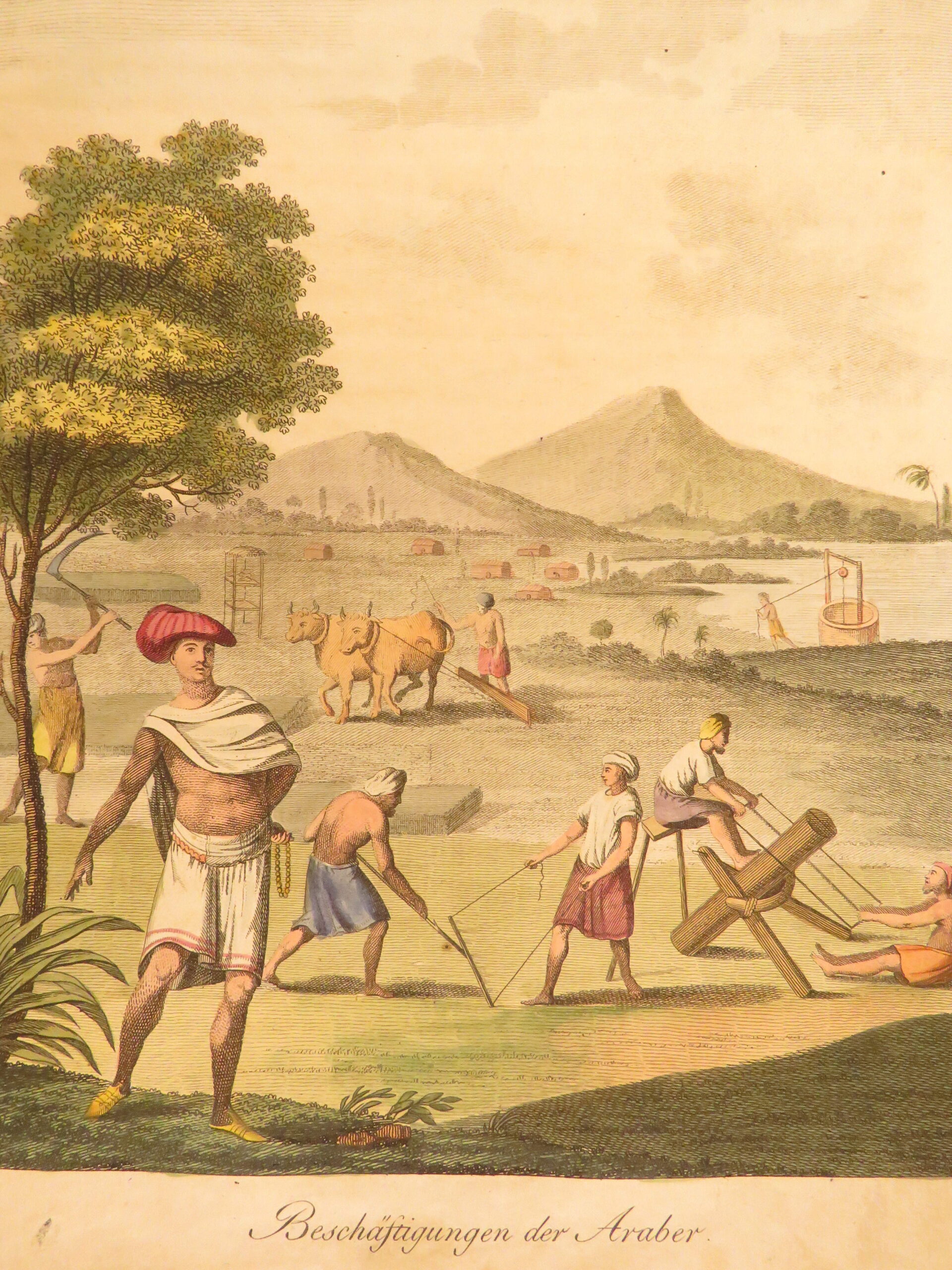
- Scenes of daily life including hookah use and regional dress
Condition:
Good. Full leather binding shows heavy wear and rubbing to corners and boards. Text block remains tight and secure. Pages are generally clean, and all illustrations are present and well preserved.
Why Collect This?
- Early illustrated travel and ethnographic work
- Includes hand-colored plates and Middle East map
Item Number: #50400
Categories
Asia, Africa, & Middle Eastern
European History
Voyages & Exploration & Maps
Authors
Johann Daniel Friedrich Rumpf; Georg Wilhelm Bartholdy
Printing Date
19th Century
Language
German
Binding
Leather
Book Condition
Good
Collation
Complete
Other Books you might like...
-
Sale!
 Add to cart
1806 Venezuela 1st ed Pons Voyage to Terra Firma South America Tobacco INDIANS
Original price was: $550.00.$399.00Current price is: $399.00. -
Sale!
 Add to cart
1744 RAREST George Anson Voyage to South-Seas South America Brazil Peru Chile
Original price was: $2,500.00.$1,950.00Current price is: $1,950.00. -
Sale!
 Add to cart
1770 Duke of Sully Memoires France Henry IV Huguenot Utopian Europe 5v SET Map
Original price was: $599.00.$499.00Current price is: $499.00.