1824 – John Franklin – Voyage to Polar Sea | Arctic Exploration & Famous Maps

Sir John Franklin’s 1824 third edition account of the 1819 to 1822 Arctic expedition, complete in two volumes with four folding maps and references to Alaska and Indigenous tribes.
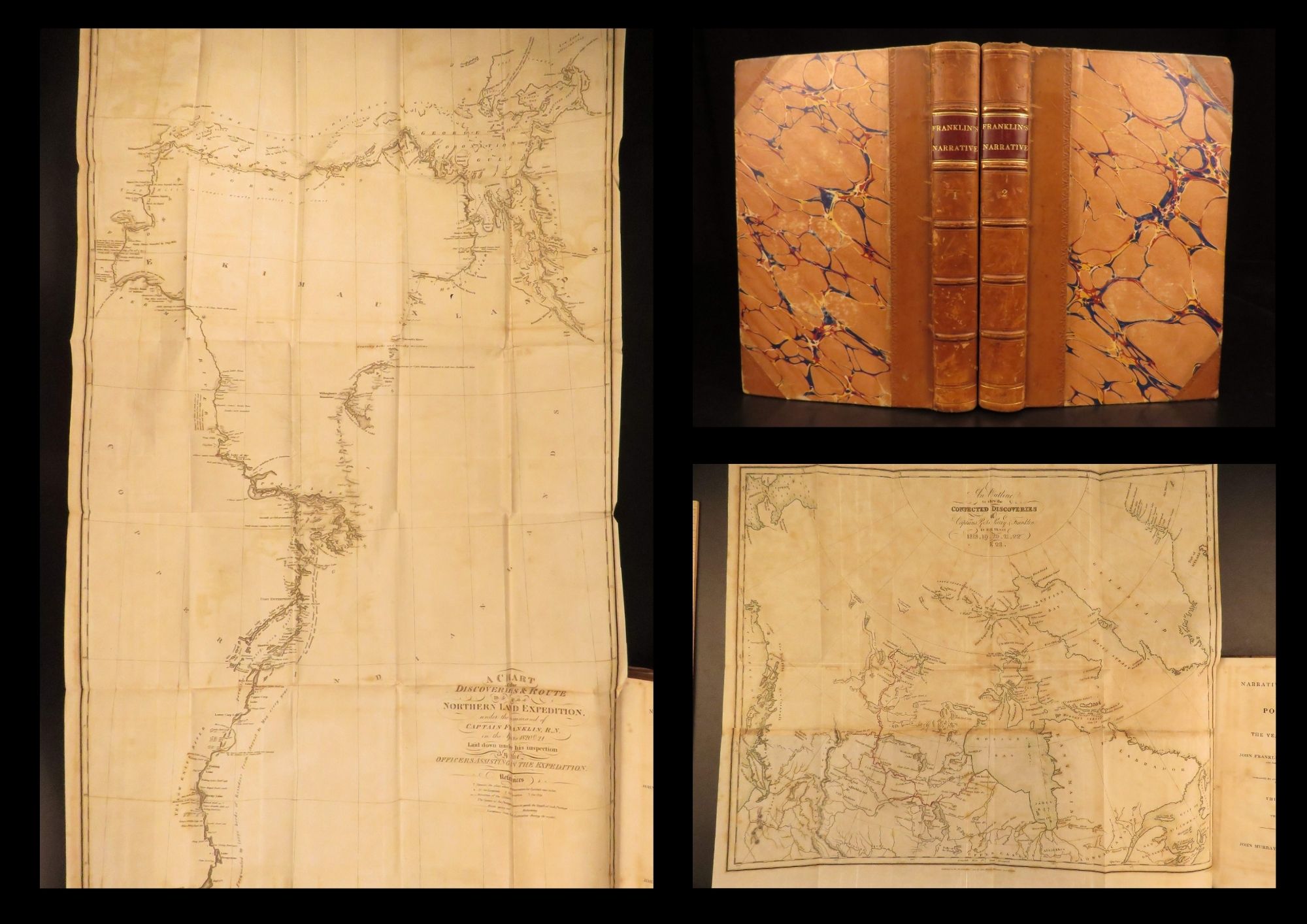

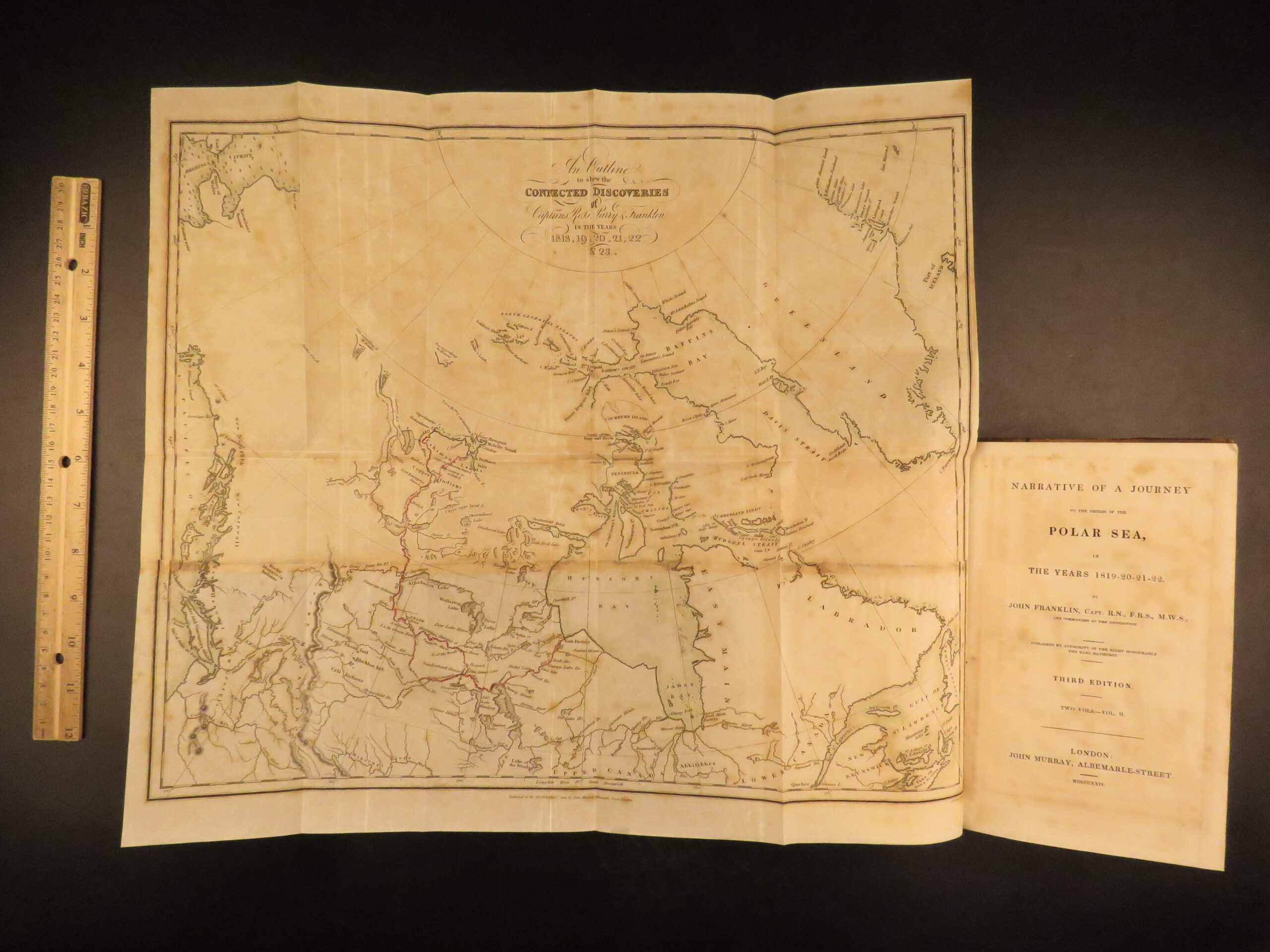
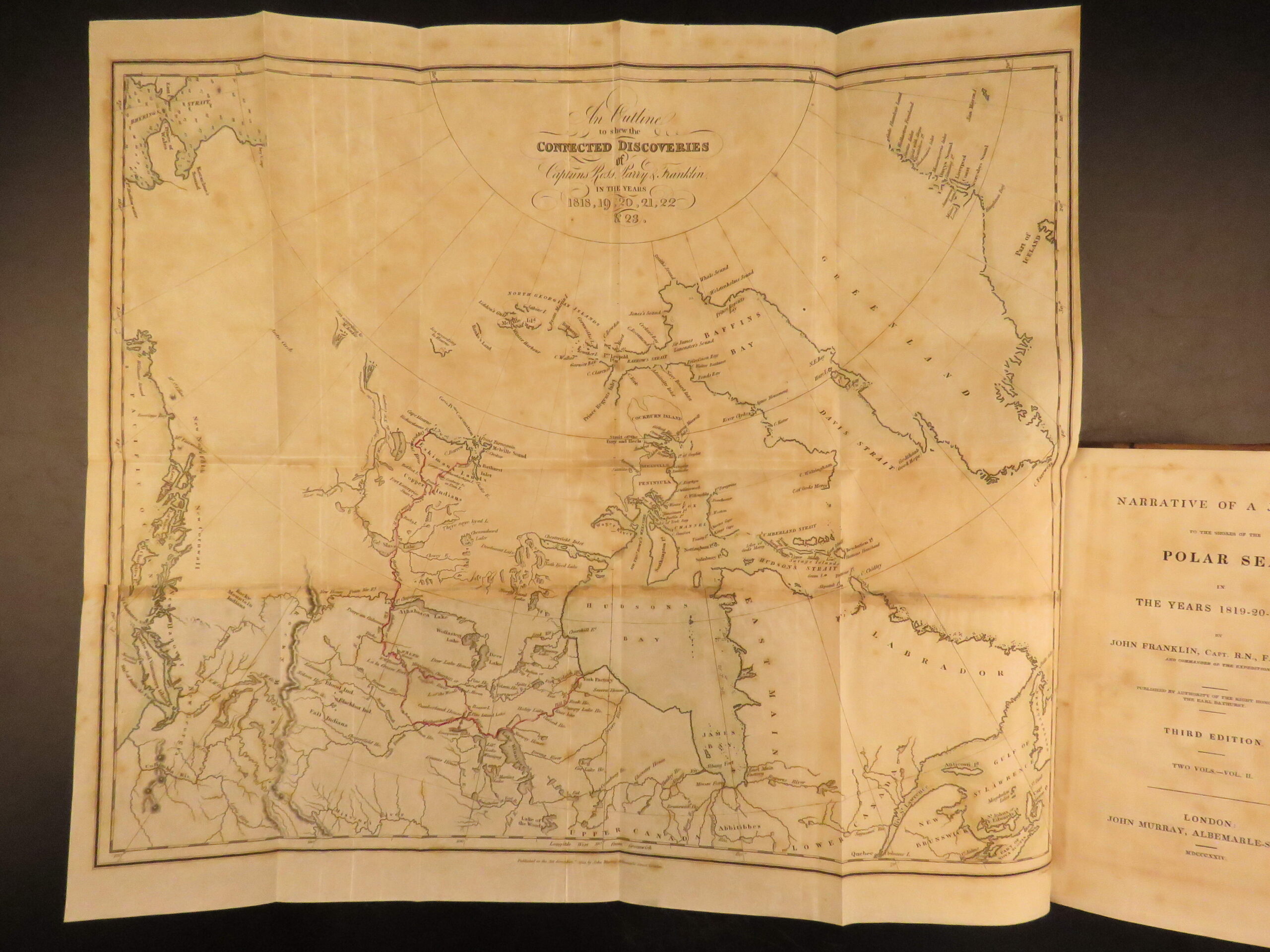
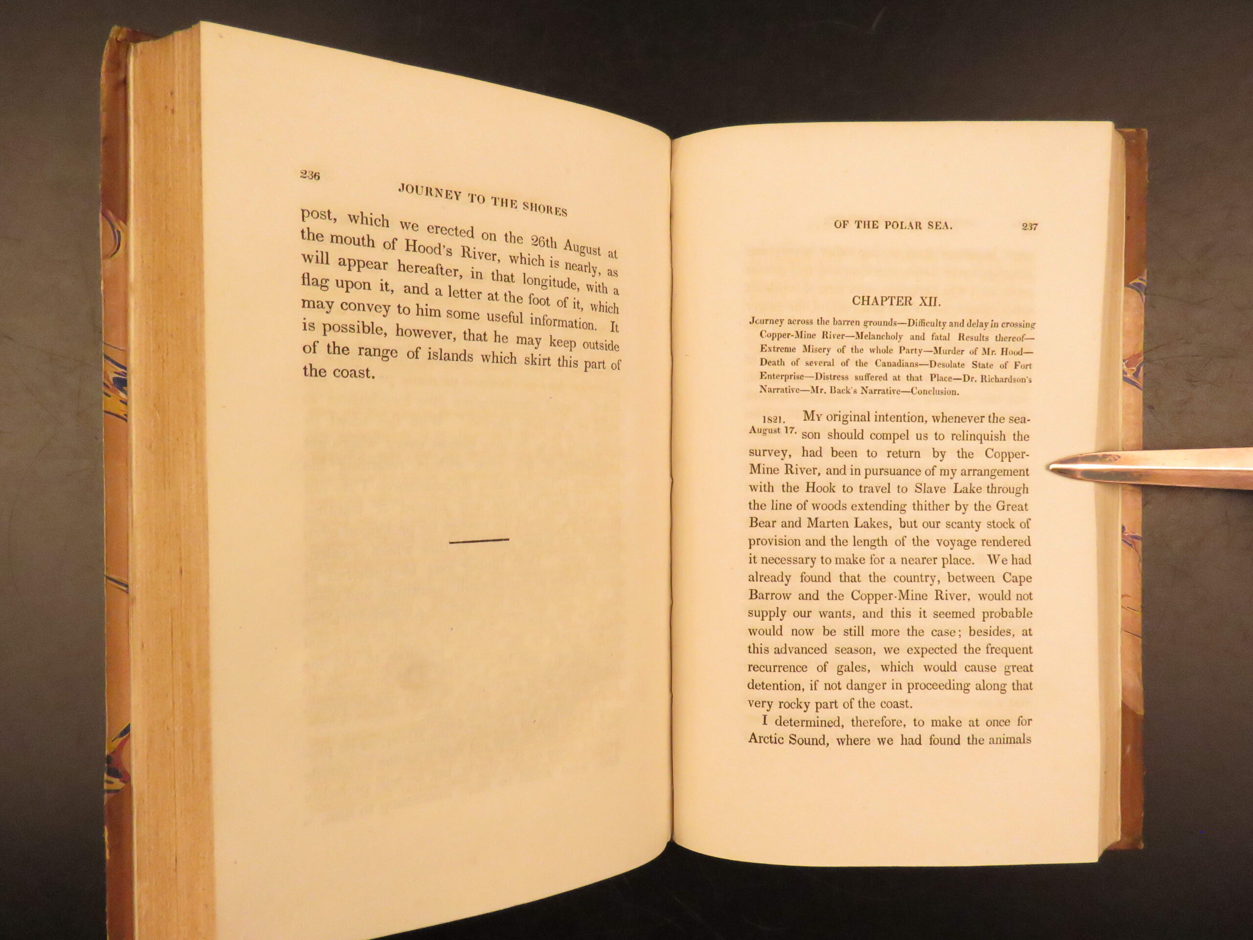
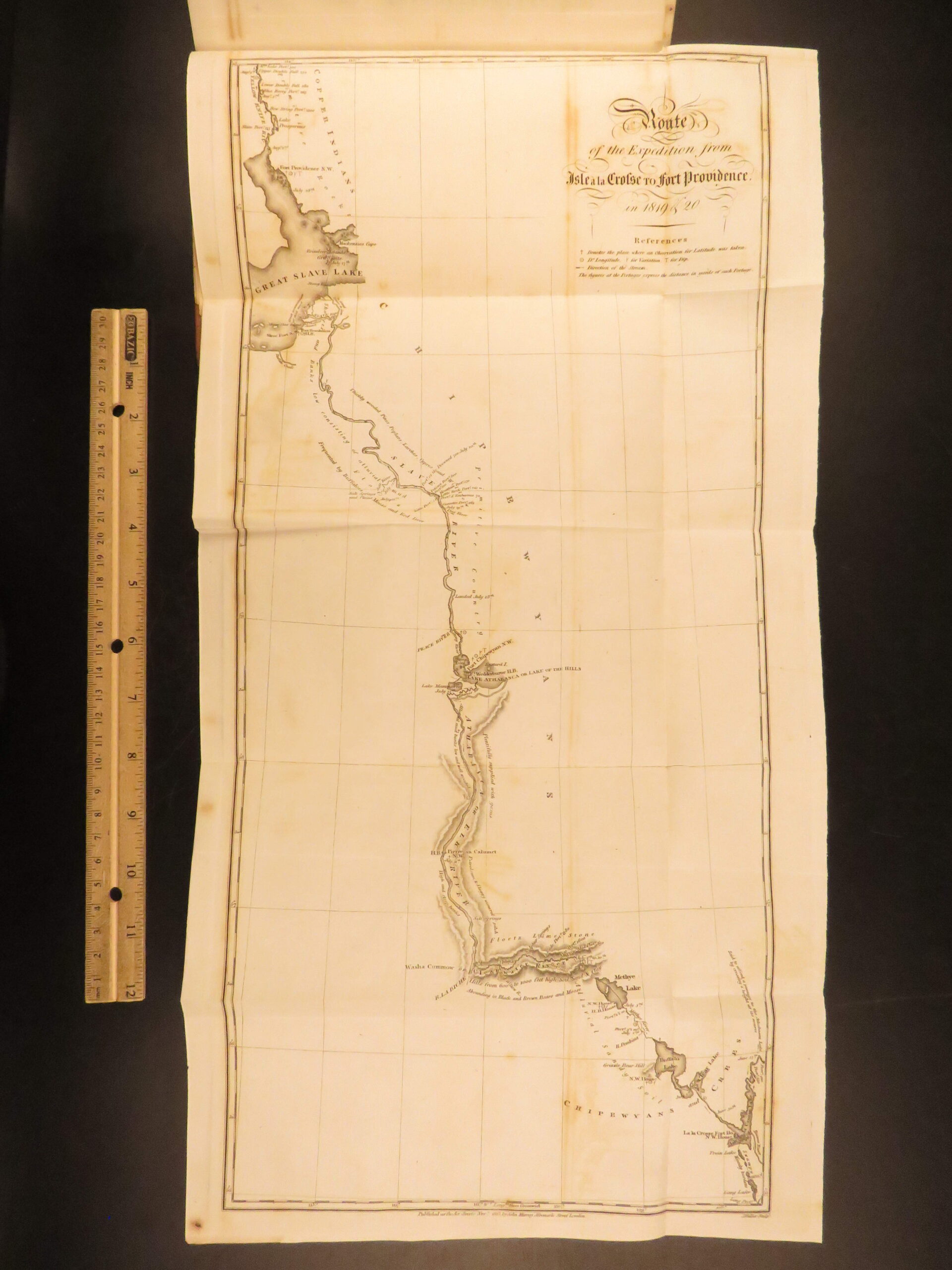
Sir John Franklin was a 19th-century British Royal Navy officer most-remembered for his explorations of the Arctic. His first voyage to the Polar Sea began in 1819 became an important journey in describing the arctic regions of the world. The reports of the excursion were published in John Murray’s ‘Narrative’, which was published in 1823. This book is beautifully illustrated with engravings depicting life of Native Americans, depictions of rough northern seas, preparing camp in the snow and ice, views of animals and plants, and impressive folding maps, including a map of the famous route!
This book is referenced by numerous sources, all of which praise this work, including Sabin which calls the appendix of this work valuable for its contributions to the knowledge of the natural history of the area. However, both Wagner-Camp and the Arctic Bibliography make mention of the importance of reports on Indian tribes.
“narrative includes detailed description of travel conditions (noting hardships, lack of food, etc.), the nature of the country, rivers and lakes, the various tribes of Indians, and the Copper Eskimos, with accounts by Richardson and Back of their separate trips with small parties for exploration, supplies, etc.” (Arctic Bibliography 5194).
Bibliographic Details
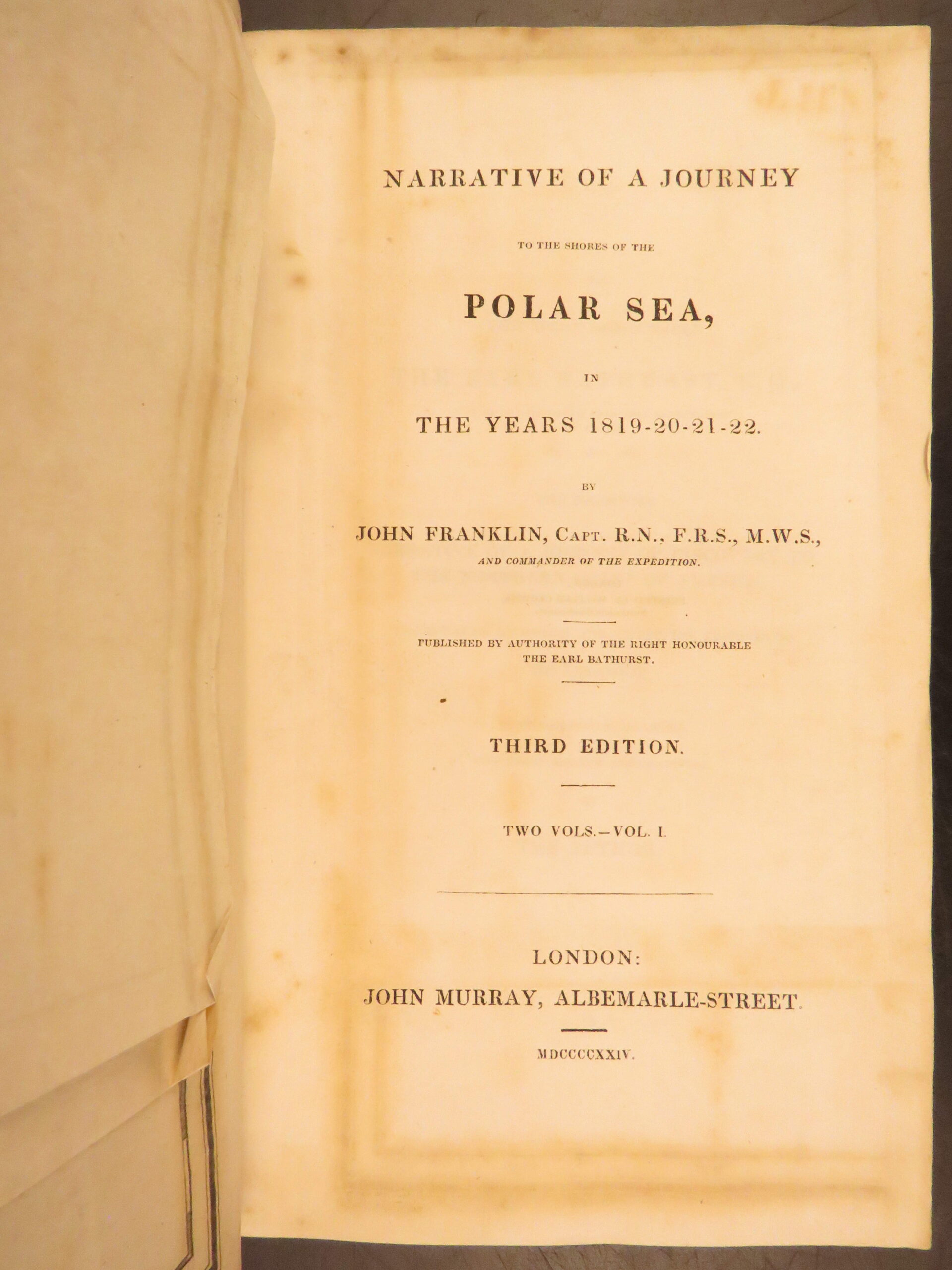
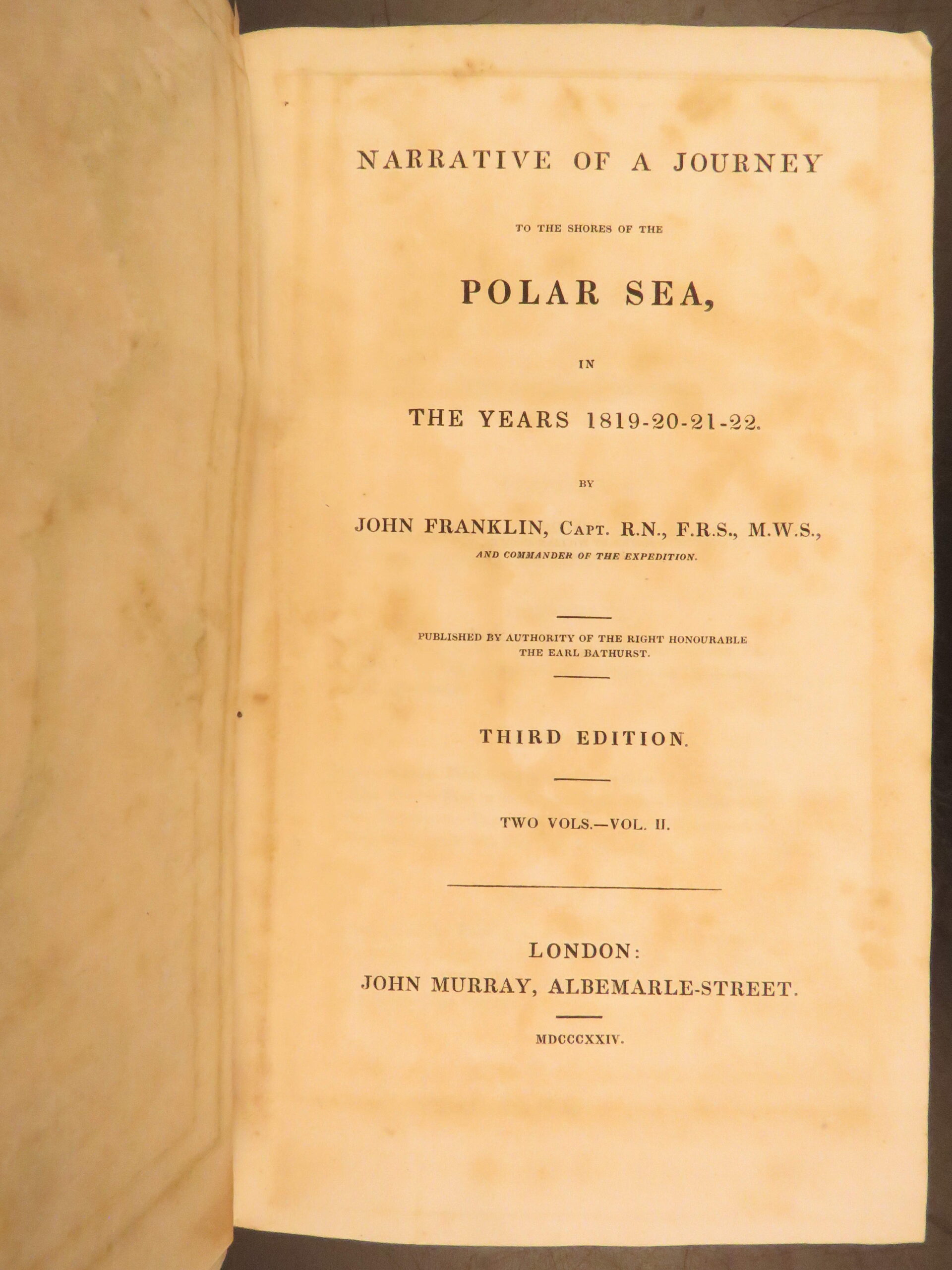
- Title: Narrative of a Journey to the Shores of the Polar Sea
- Author(s): John Franklin
- Contributor(s): John Richardson (Expedition Naturalist); George Back (Officer and Explorer)
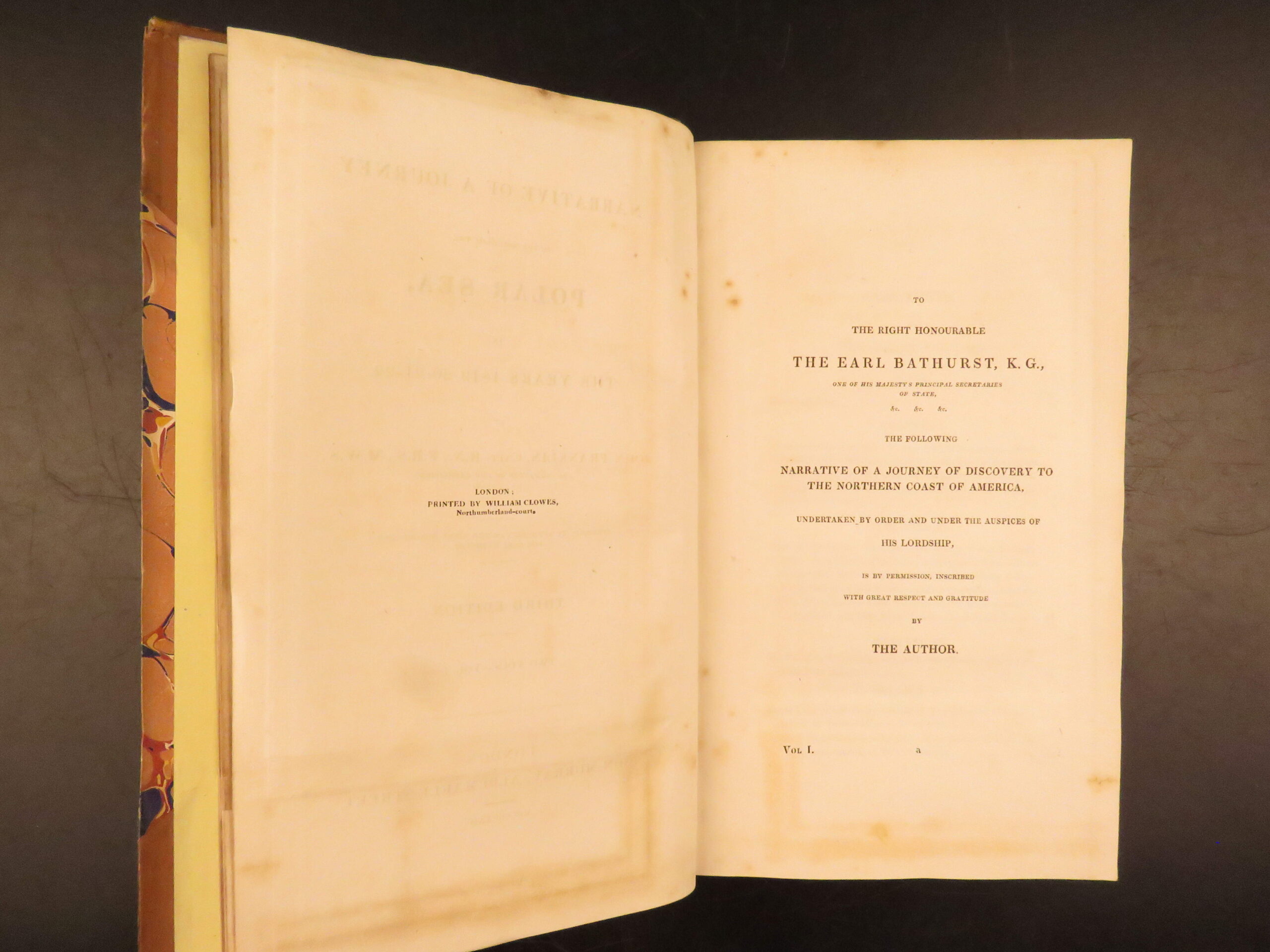
- Publisher: London: John Murray
- Edition: Third Edition. 1824.
- Dating error on title page (i.e. 1924)
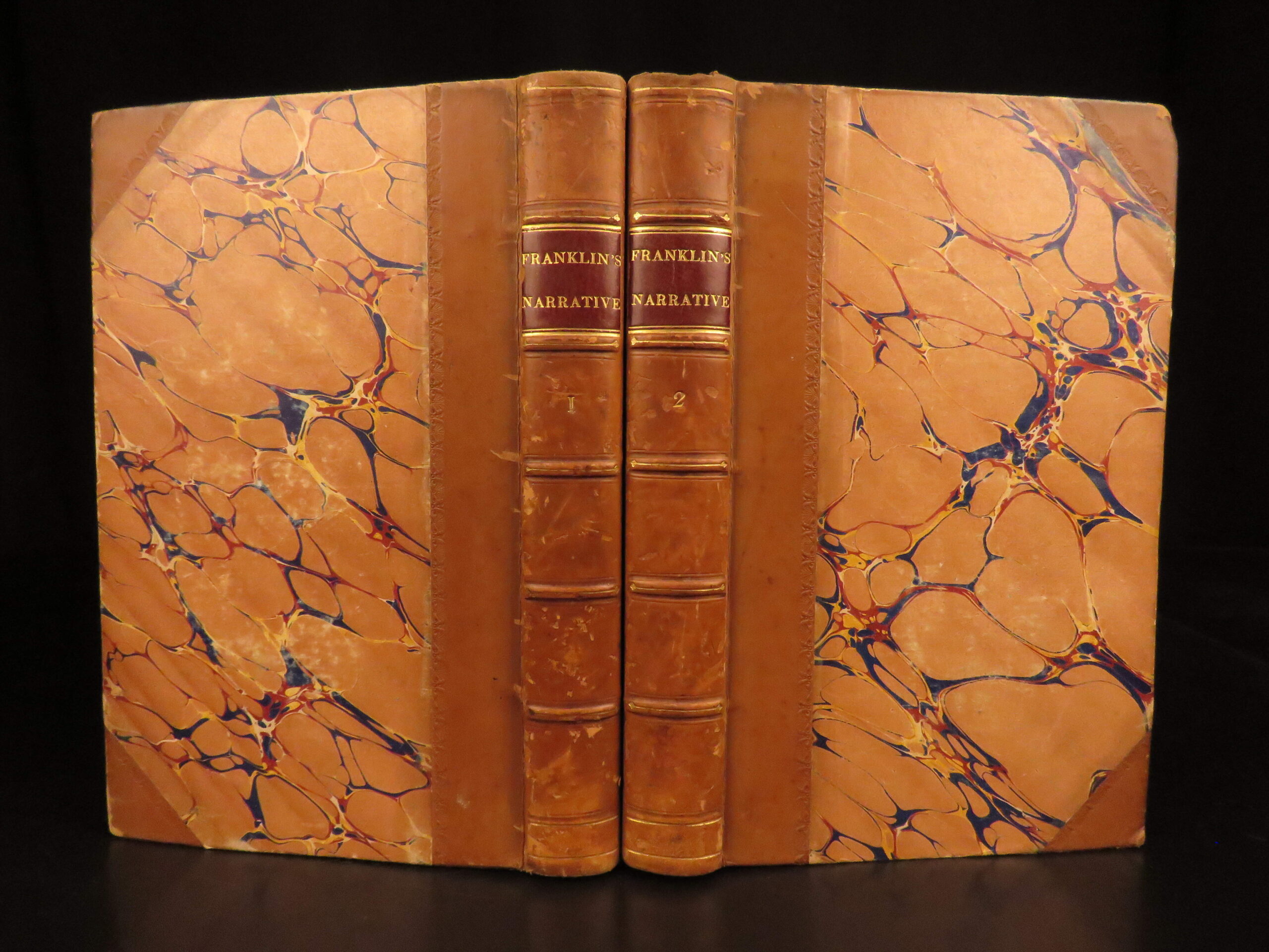
- Binding: Quarter leather and corners; marbled boards
- Modern rebind
- Format: (8vo), two volumes
- Size: 9 in x 5.5 in (23 cm x 14 cm)
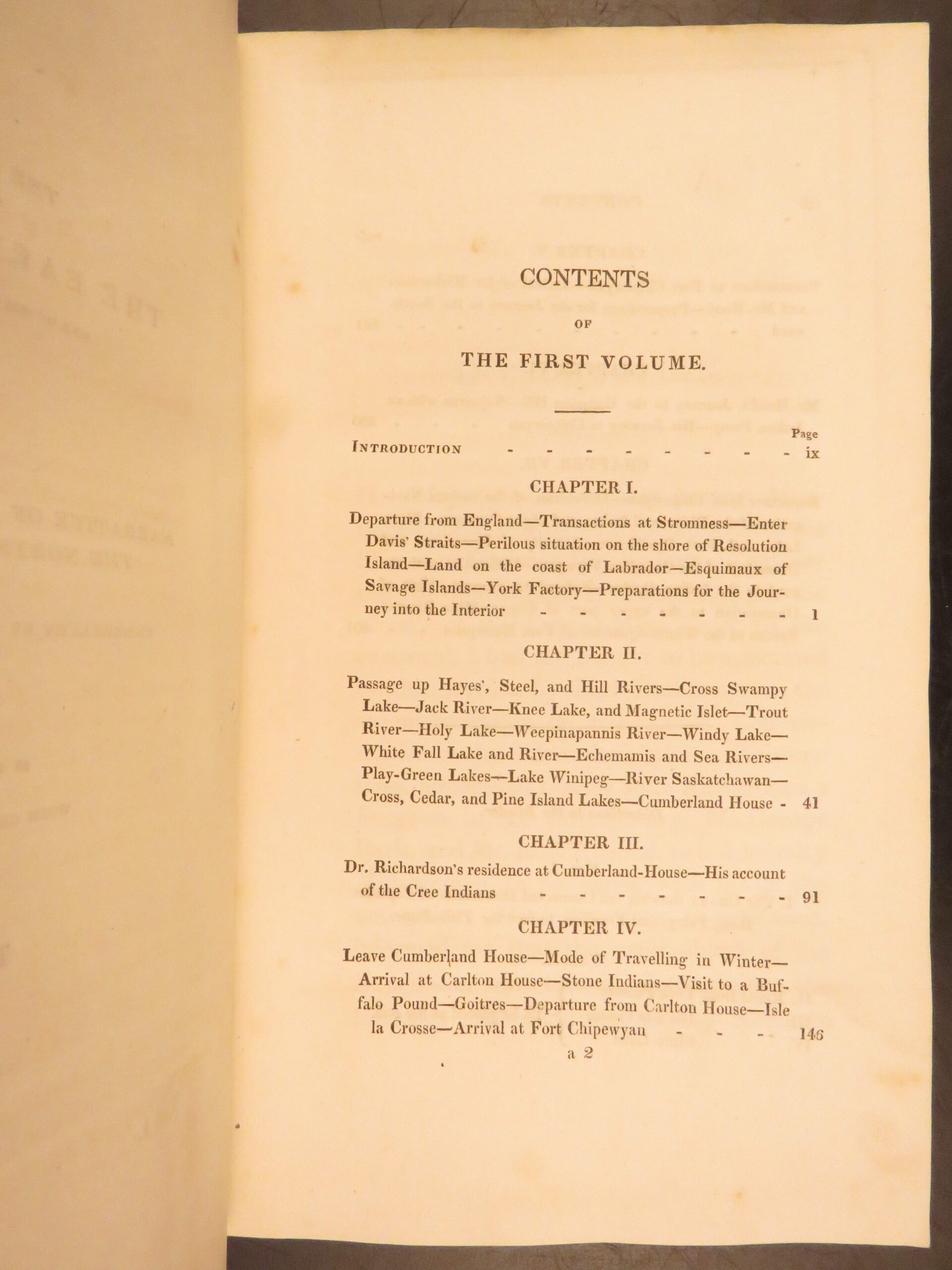
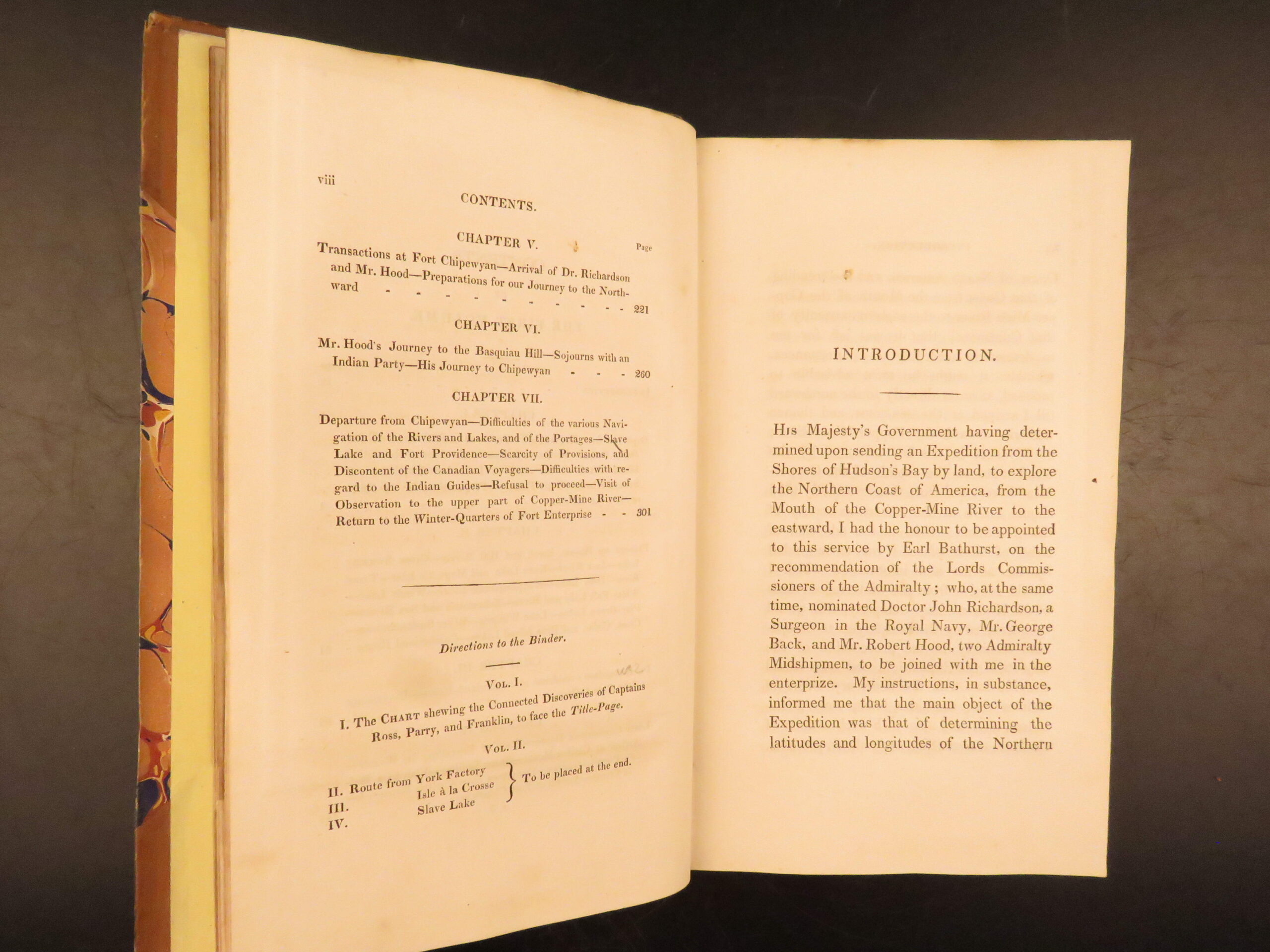
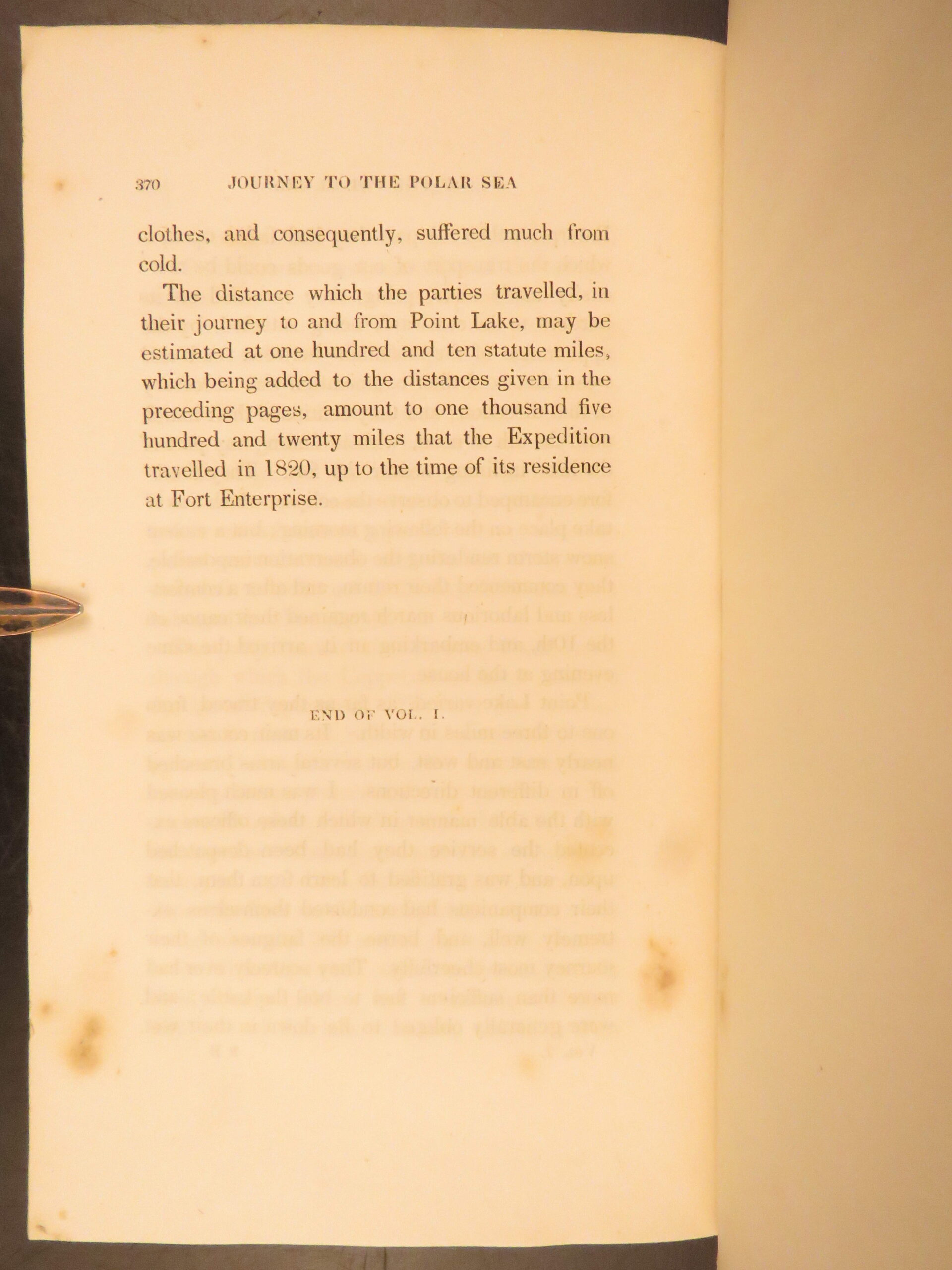
- Collation: Vol. I: xix, 370 pp; Vol. II: iv, 399 pp
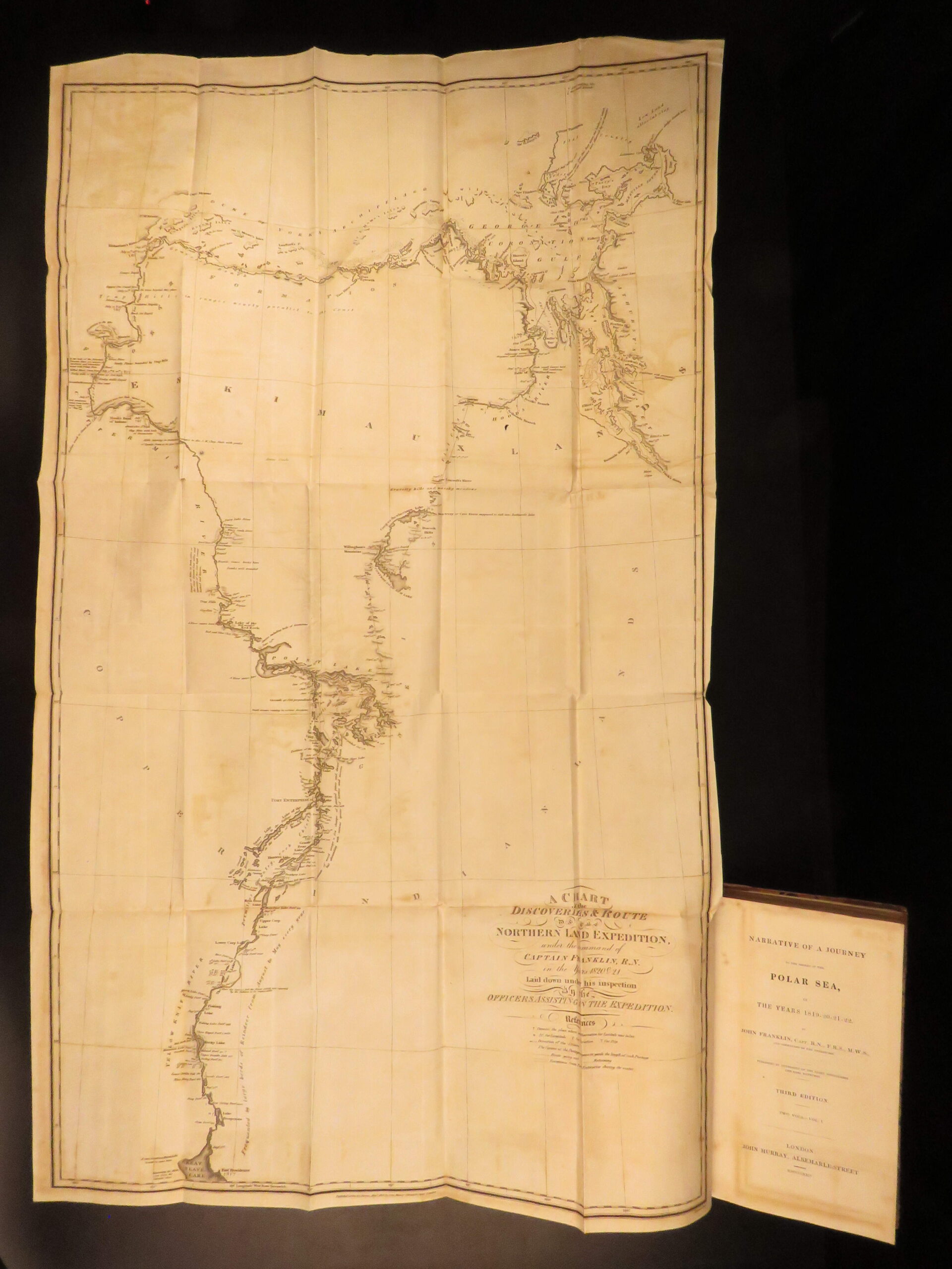
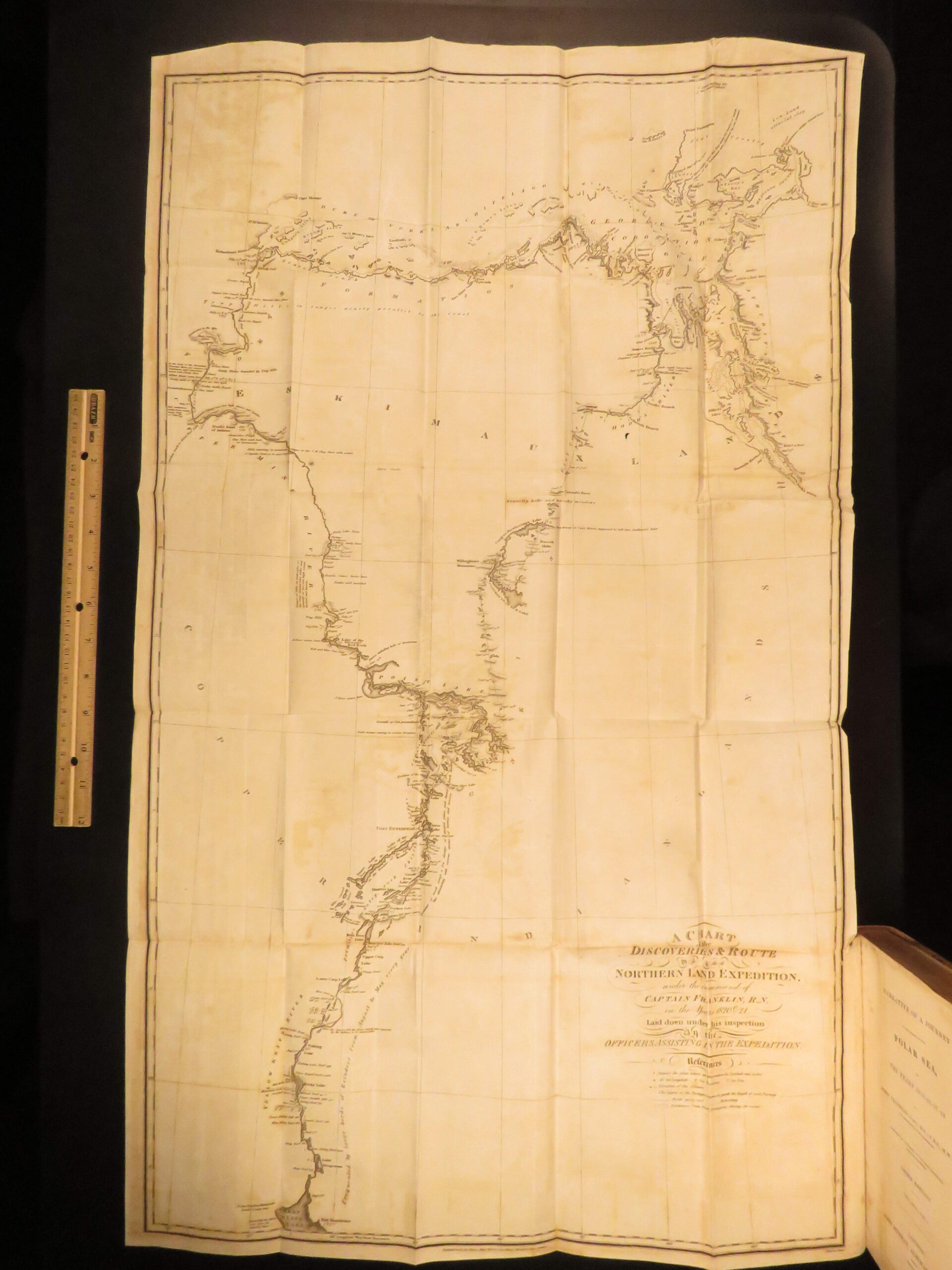
- Illustrations: 4 folding maps
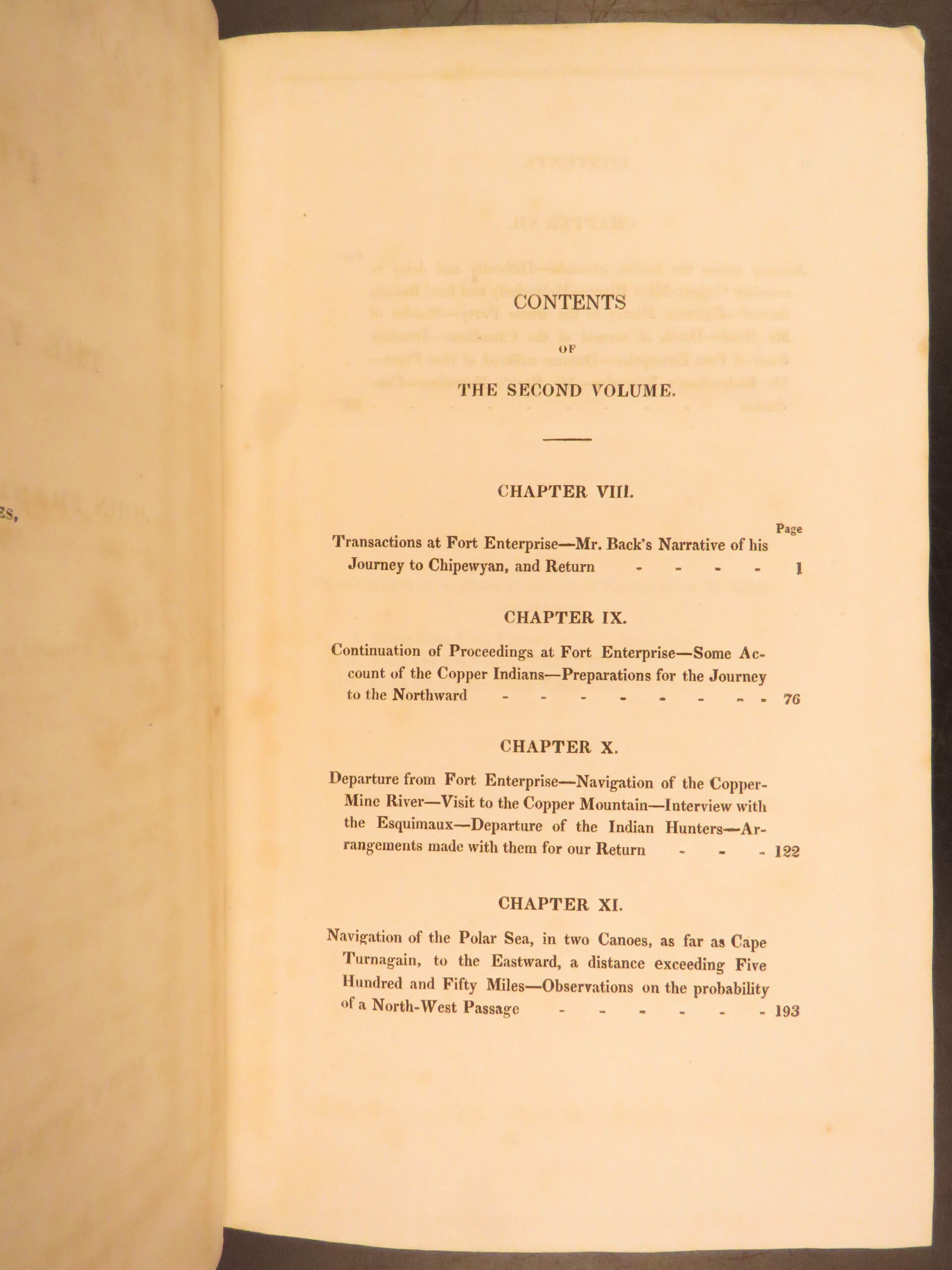
- Contents Include:
- Arctic expedition narrative, 1819 to 1822
- Descriptions of northern rivers and coastline
- Accounts of Indigenous tribes and Copper Eskimos
- Reports by Richardson and Back
- Reference(s): Sabin 25624; Lada-Mocarski 12; Hill 166; Abbey, Travel, 635; Graff 1406; Wagner-Camp 23:1; Field 560
- Lada-Mocarski: “one of the earliest printed narratives about Alaska and the Aleutian Islands”
- Wagner-Camp: “Of interest not only as a document of human courage and endurance, but also for its depiction of the Indians”
Condition:
Very Good. Quarter leather binding remains tight and secure with mild rubbing at corners and edges. Light age toning to preliminaries; pages and folding maps considerably clean. All four folding maps present.
Why Collect This?
- Early printed Arctic exploration narrative
- Complete with four folding maps
- Documents Alaska and northern Indigenous tribes
Item Number: #50084
Categories
Americana, American History
Natural History
Voyages & Exploration & Maps
Authors
John Franklin
Printing Date
19th Century
Language
English
Binding
Leather
Book Condition
Very Good
Collation
Complete
Other Books you might like...
-
Sale!
 Add to cart
1834 BIRDS Jardine Naturalist Game Ornithology Partridge Quail Grouse Illustrated
Original price was: $499.00.$399.00Current price is: $399.00. -
Sale!
 Add to cart
1836 Buffalo Bison Cows Goat Sheep Buffalo Antelope Illustrated Jardine Mammalia
Original price was: $499.00.$399.00Current price is: $399.00. -
Sale!
 Add to cart
1752 1ed Voyages in JAPAN Asia Natural History Illustrated HUGE MAP Prevost
Original price was: $499.00.$450.00Current price is: $450.00. -
Sale!
 Add to cart
1841 Naturalists Jardine Mammalia Marsupial Kangaroo Koala Color Illustrated
Original price was: $499.00.$399.00Current price is: $399.00.