1772 – Vaugondy Atlas with 17 Maps | Complete World Geography, Crozat

1772 Paris edition of Abbé A. Le François’s Méthode abrégée et facile pour apprendre la géographie, with 17 engraved maps by the Vaugondy family detailing political and geographic instruction in 18th-century France.
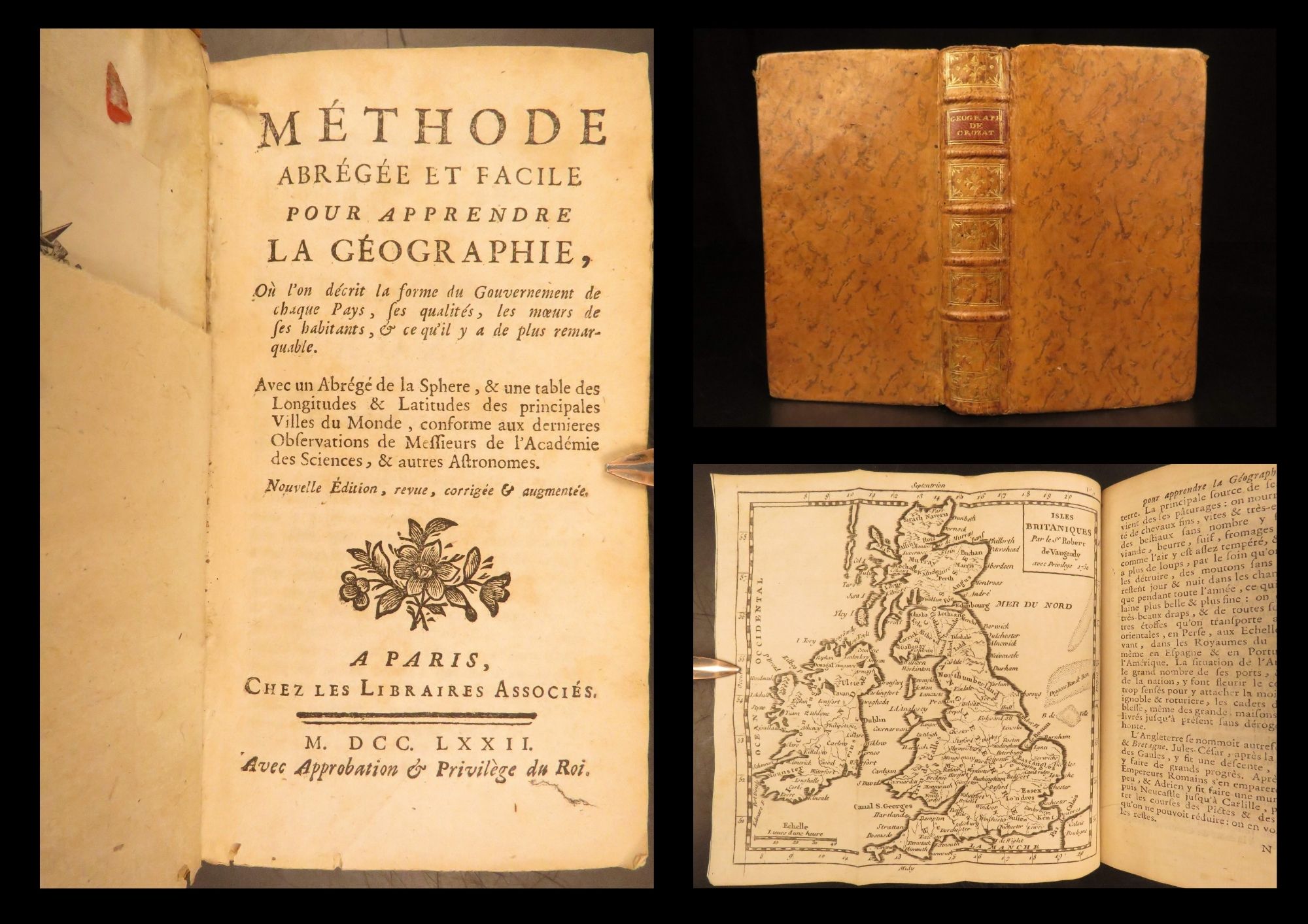
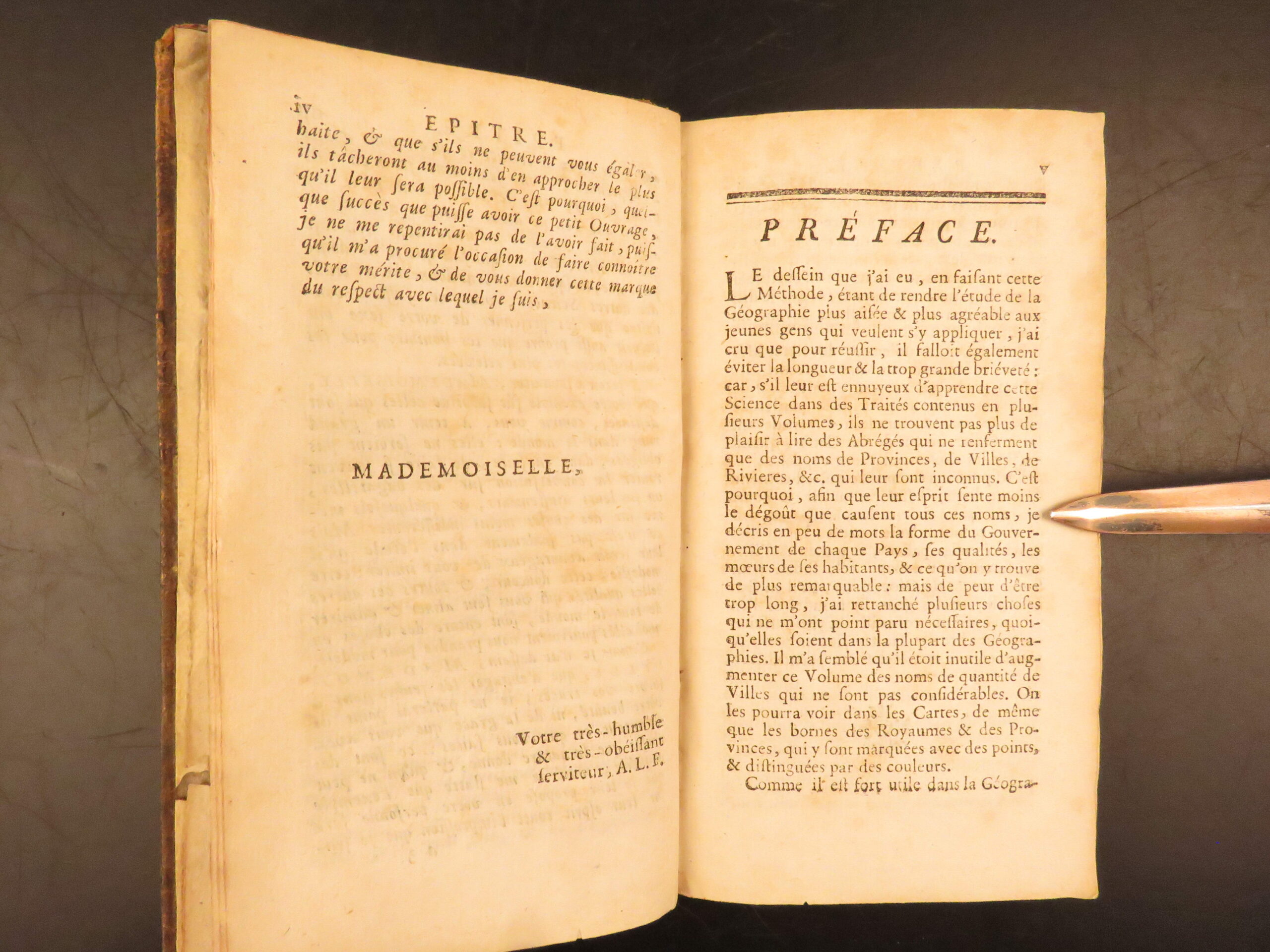
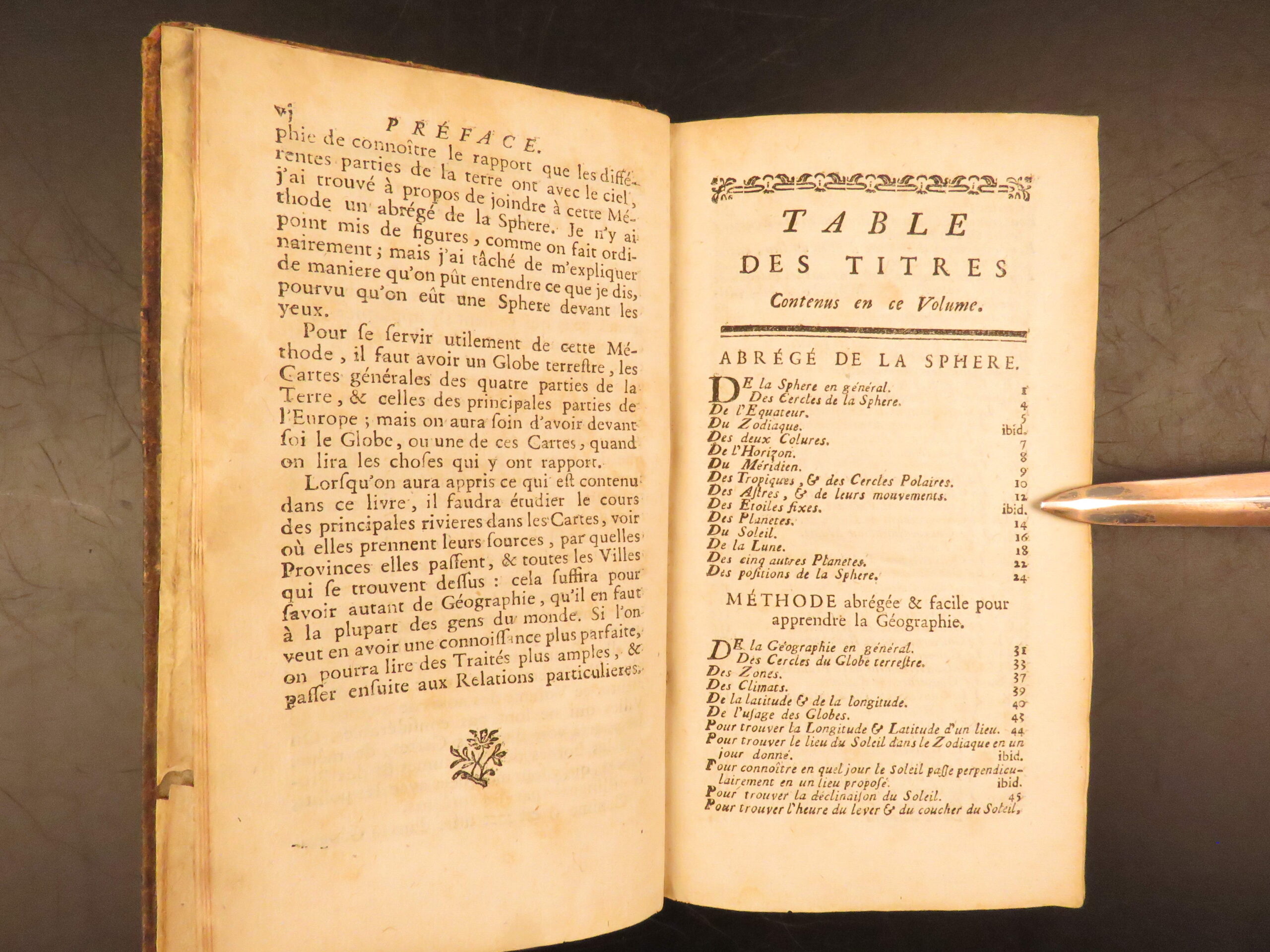
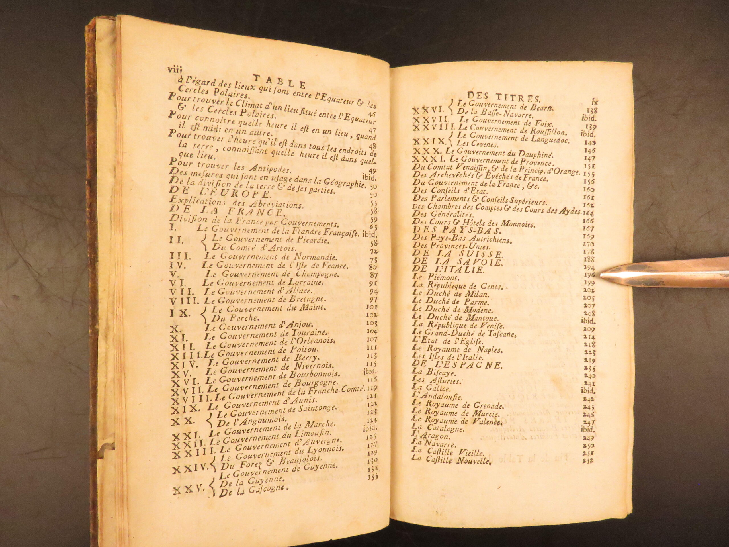
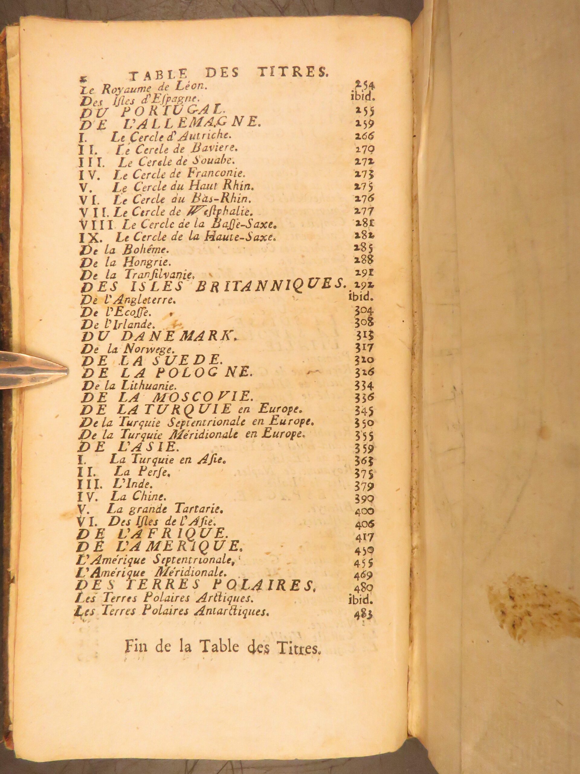
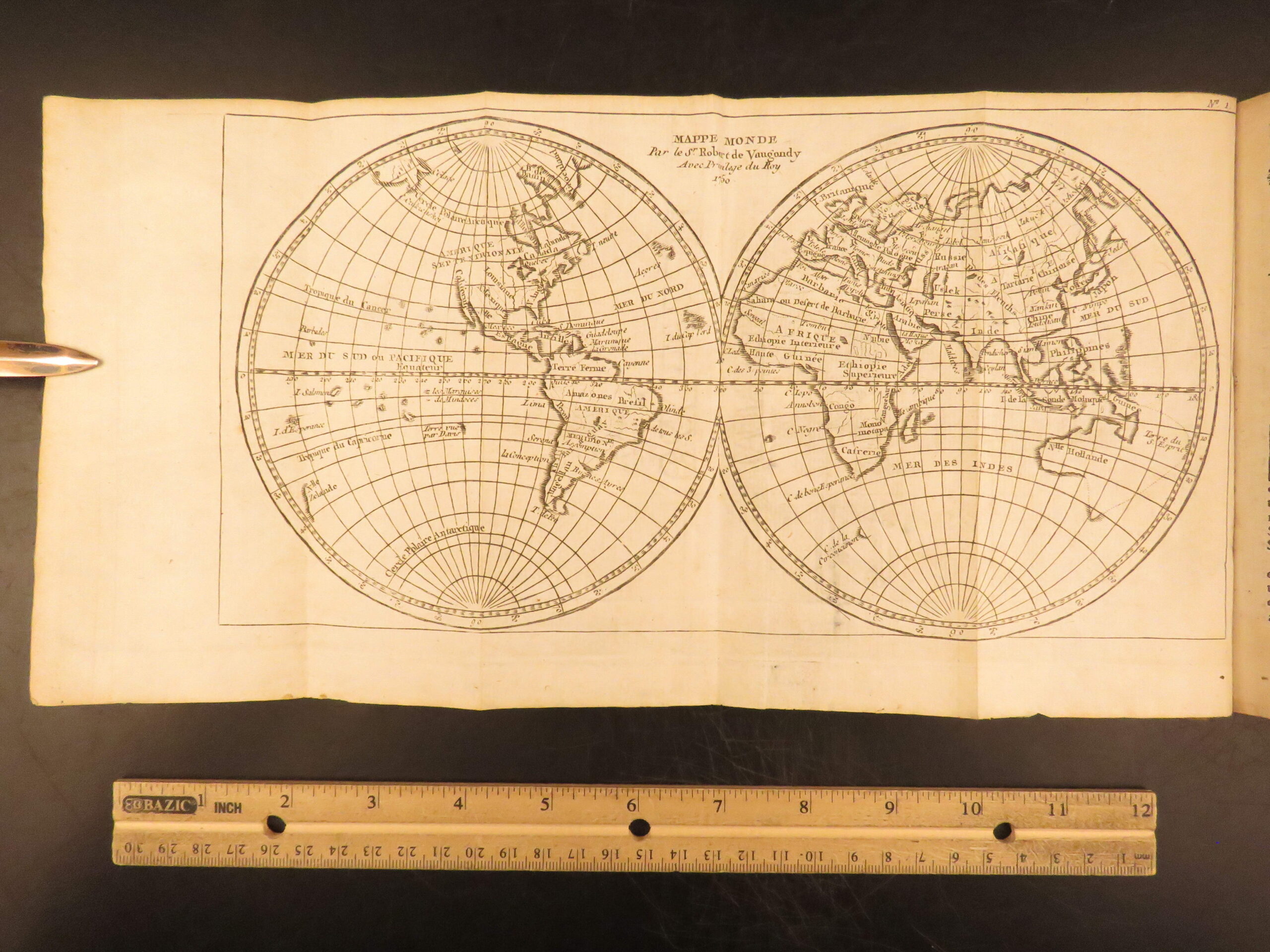
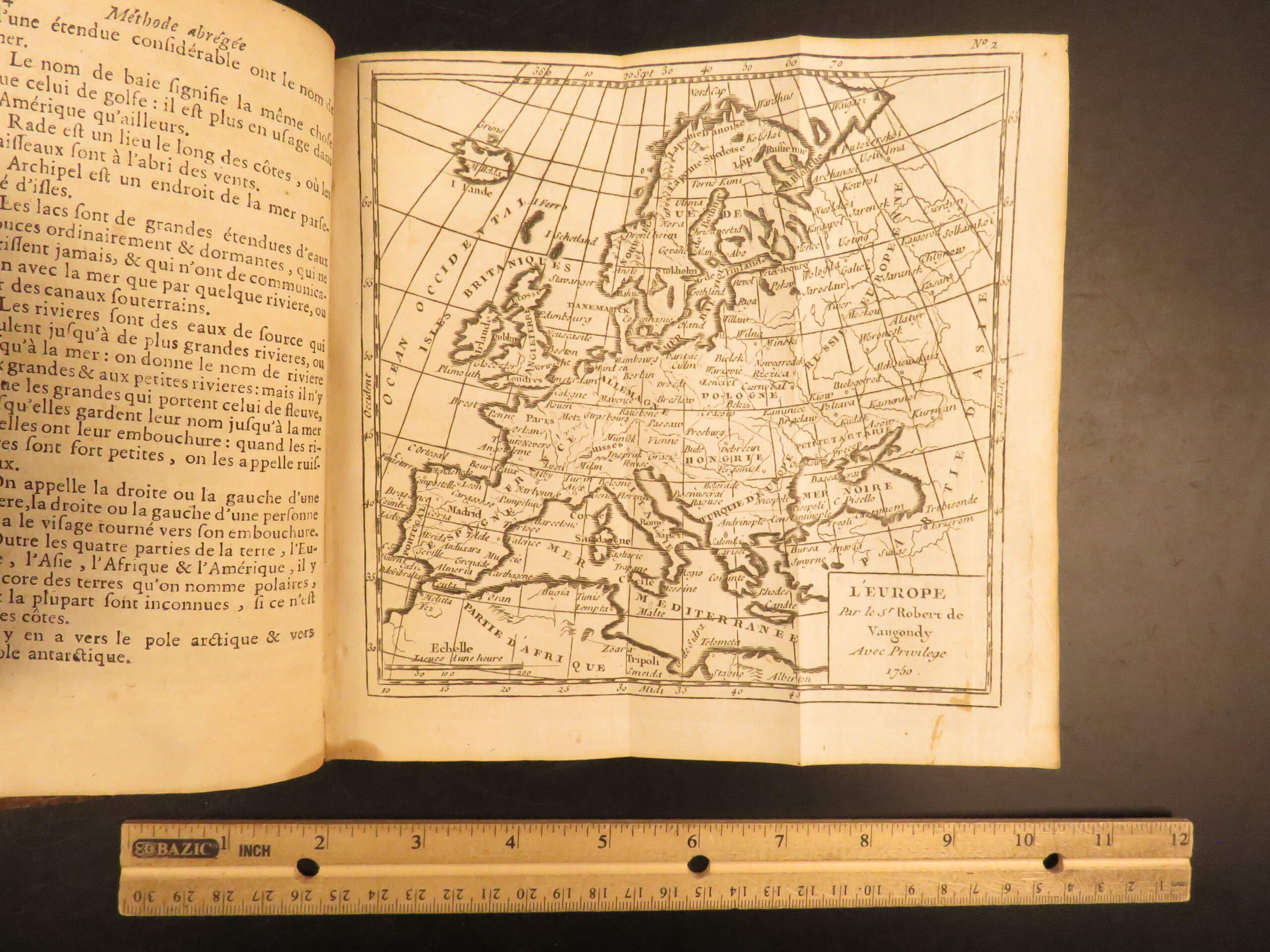
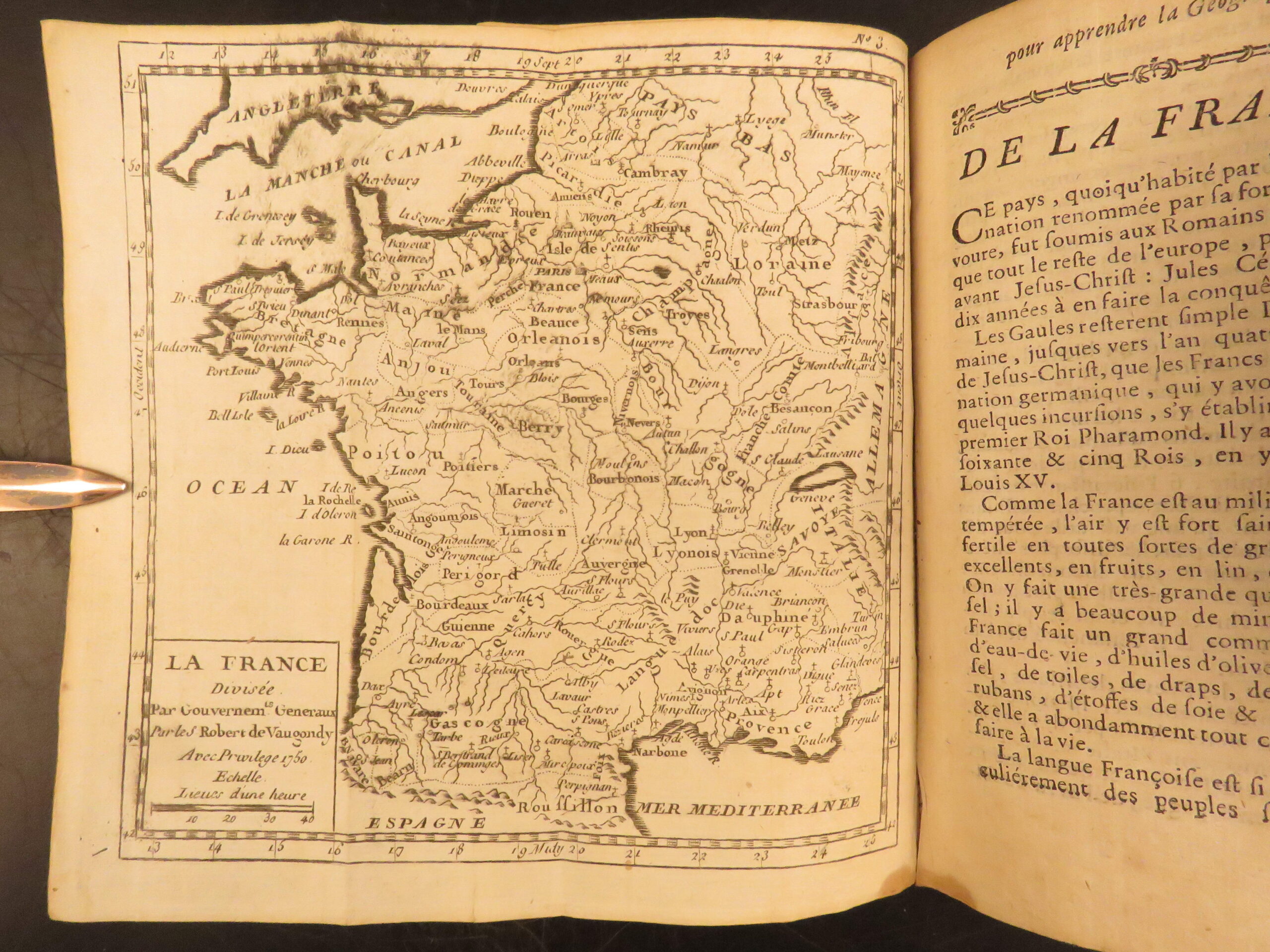
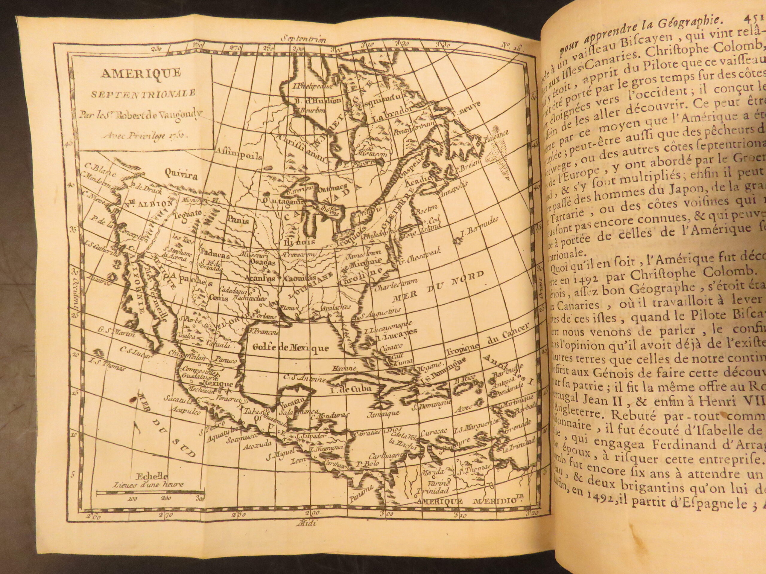
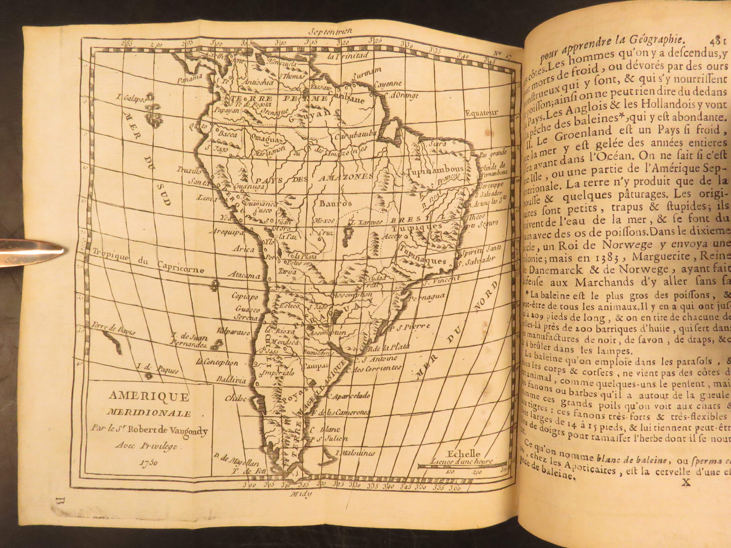
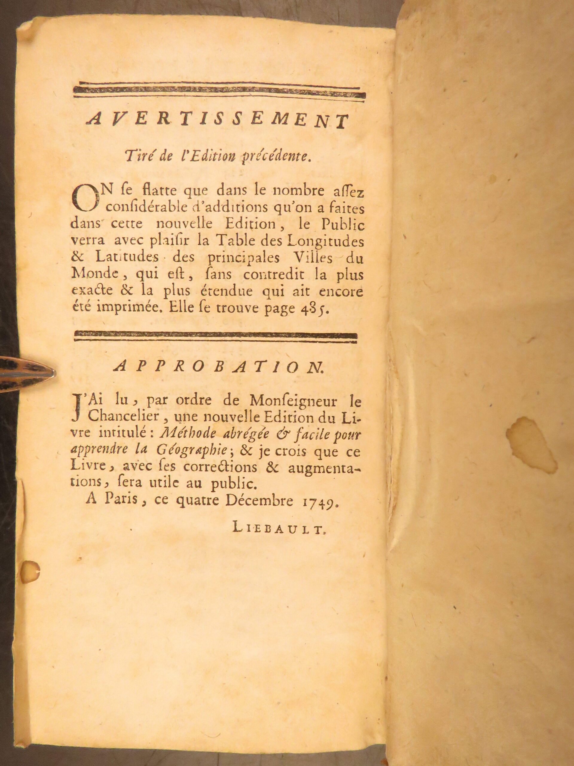
Collectors, of both maps and atlases, agree that Vaugondy maps are among the best and most accurate maps! This collection of 18th-century Vaugondy maps were included in this work to teach geography. In addition to maps, this work by Jesuit Abbe Francois includes essays and notes on government, customs, and longitudinal tables.
Bibliographic Details
- Title: Méthode abrégée et facile pour apprendre la géographie où l’on décrit la forme du gouvernement de chaque pays
- Author(s): Crozat [A. Le François]
- Illustrator(s): Vaugondy Family (Maps)
- Publisher: À Paris : Chez les libraires associés
- Edition: New edition, 1772
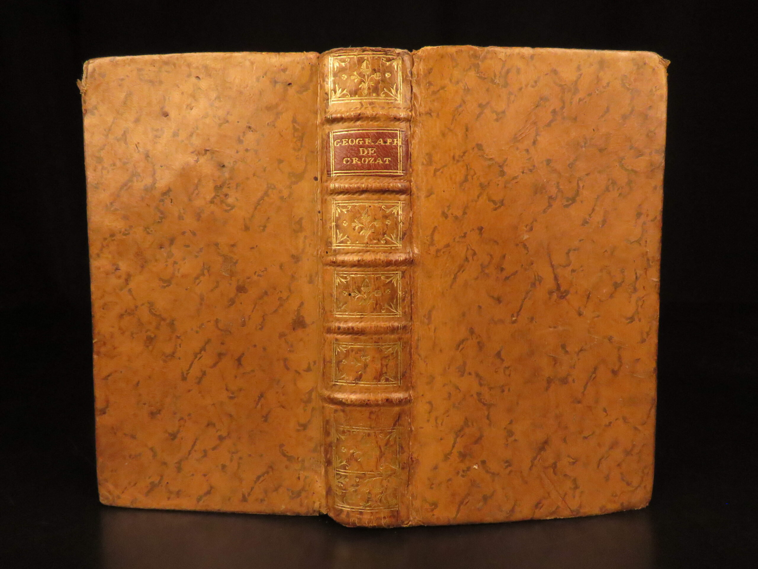
- Binding: Full leather
- Format: (16mo), single volume
- Size: 6.75 in x 4 in (17 cm x 10 cm)
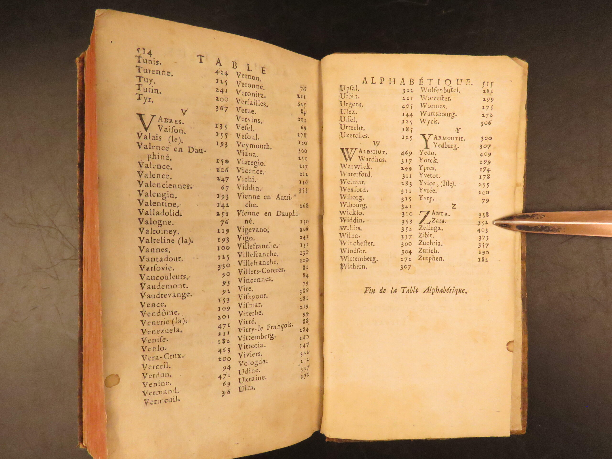
- Collation: 515 p
- Illustrations: 17 engraved maps
- Contents Include:
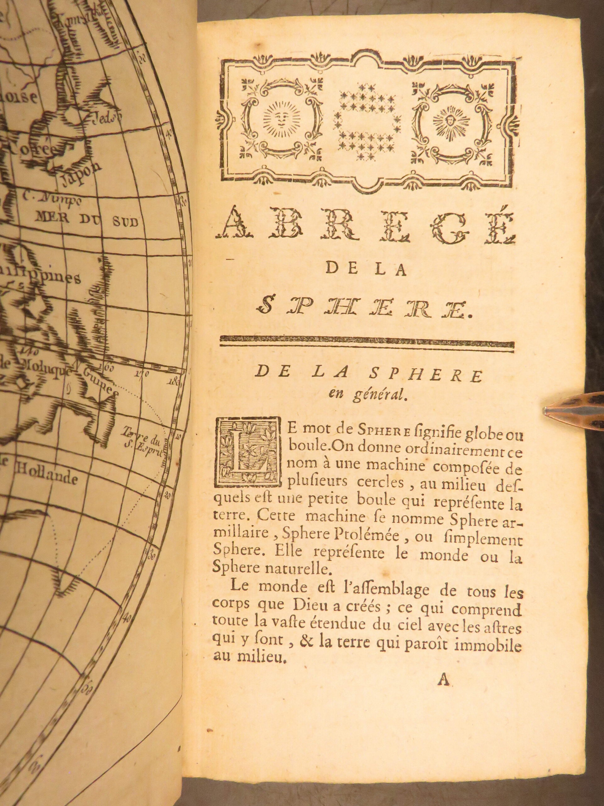
- Introductory essays on geography and political systems
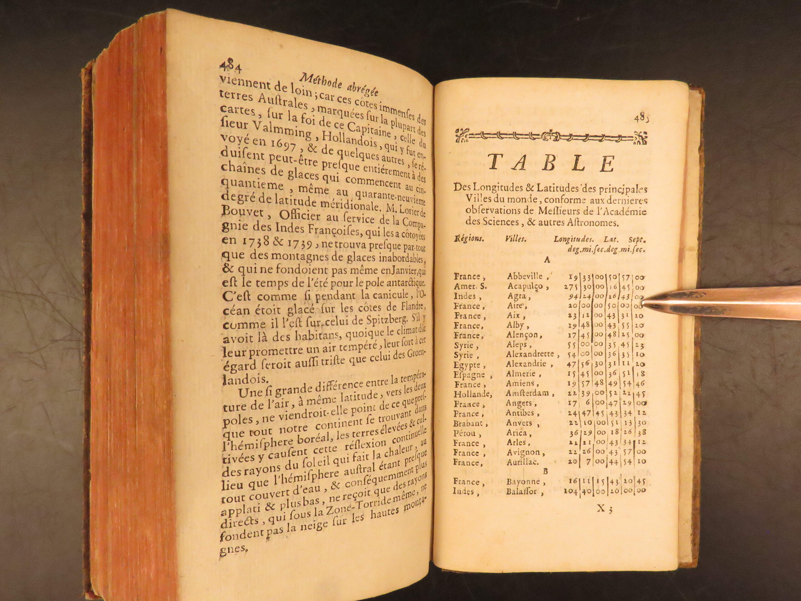
- Longitudinal and latitudinal reference tables
- Maps by Vaugondy depicting European and global divisions
Condition:
Full leather binding in very good condition with tight hinges and secure boards. Leather remains smooth with only mild wear along joints and corners.
Why Collect This?
- Early French educational atlas featuring all 17 maps by Vaugondy
- Attractive contemporary binding in solid condition
Item Number: # 29707
Categories
Law & Government
European History
Maps
Voyages & Exploration & Maps
Authors
Crozat [A. Le François]
Printing Date
18th Century
Language
French
Binding
Leather
Book Condition
Very Good
Collation
Complete
Other Books you might like...
-
Sale!
 Add to cart
1680 Edward Coke Reports ENGLISH LAW Judicial Court Cases England HUGE FOLIO
Original price was: $1,250.00.$950.00Current price is: $950.00. -
Sale!
 Add to cart
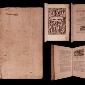
1696 Hugo Grotius de Jure Belli Dutch Legal Masterpiece Catholic Natural LAW
Original price was: $599.00.$550.00Current price is: $550.00. -
Sale!
 Add to cart
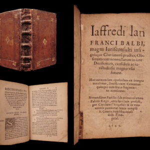
1545 Medieval ITALIAN LAW of Jaffredus Balbus / Balbi CIVIL Jurisprudence Court
Original price was: $950.00.$750.00Current price is: $750.00. -
Sale!
 Add to cart
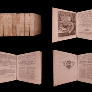
1766 Prompta Bibliotheca Franciscan Ferraris Church Encyclopedia & Canon LAW 8v
Original price was: $750.00.$599.00Current price is: $599.00.