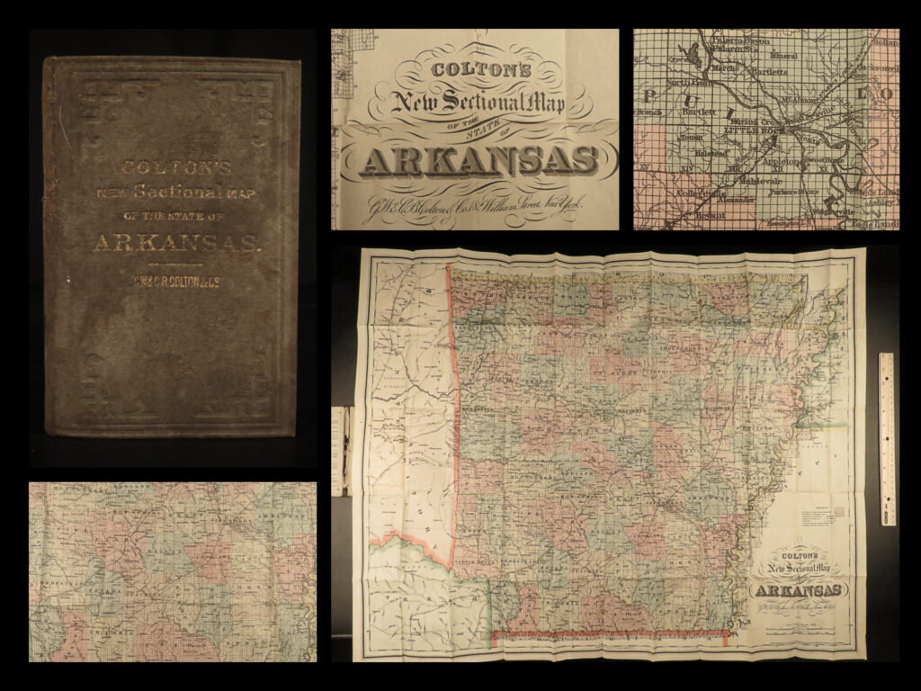
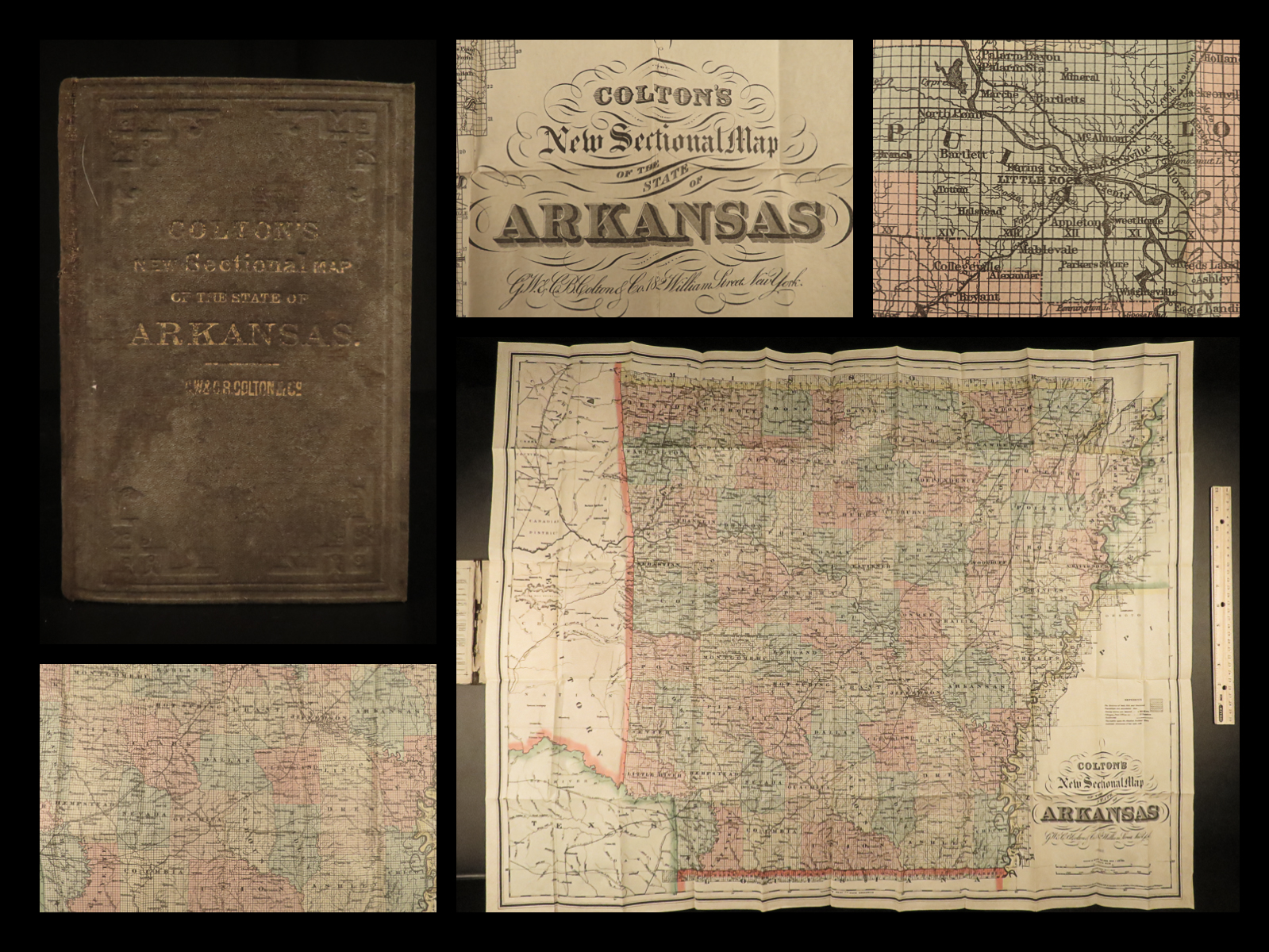
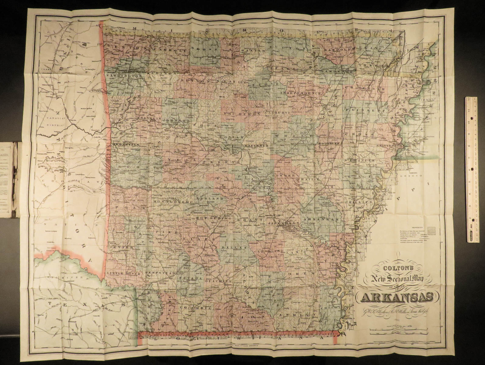
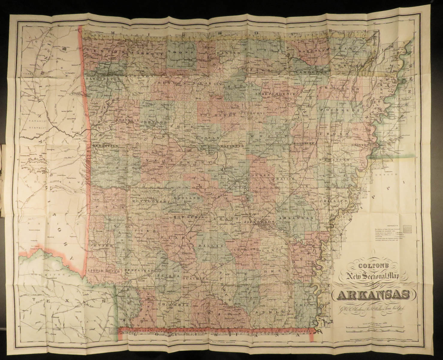
1888 HUGE Colton MAP of ARKANSAS Geography Atlas Little Rock 28x34in Mitchell
Colton maps are often considered the very best of 19th-century maps. Known for their accuracy and attention to detail, Colton maps have maintained their desirability even into the 21st-century. Cartographers such as Augustus Mitchell would use Colton to publish their maps.
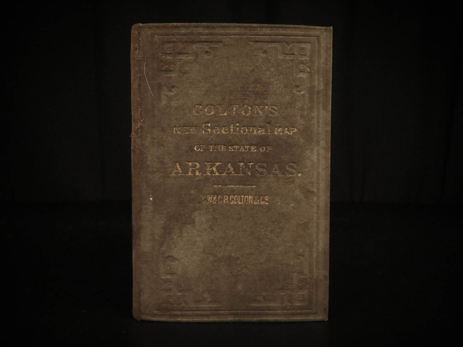
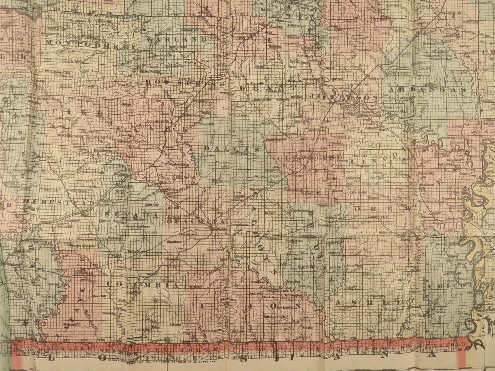
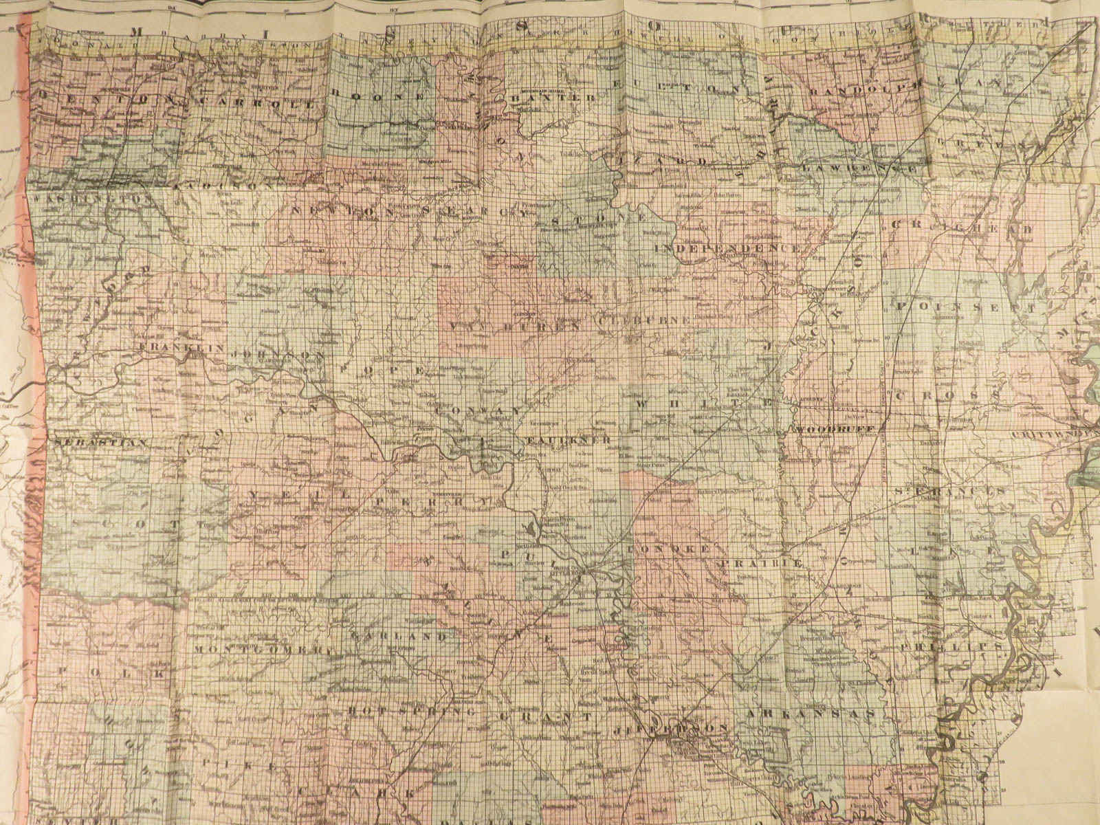
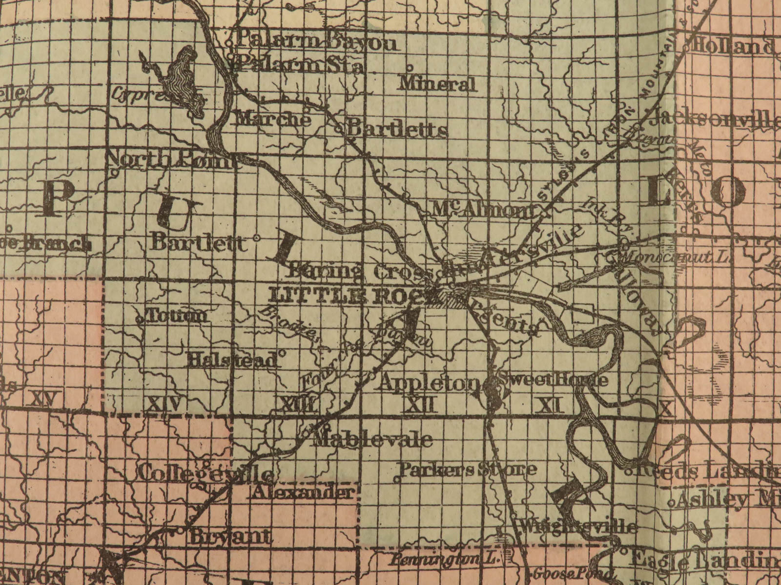
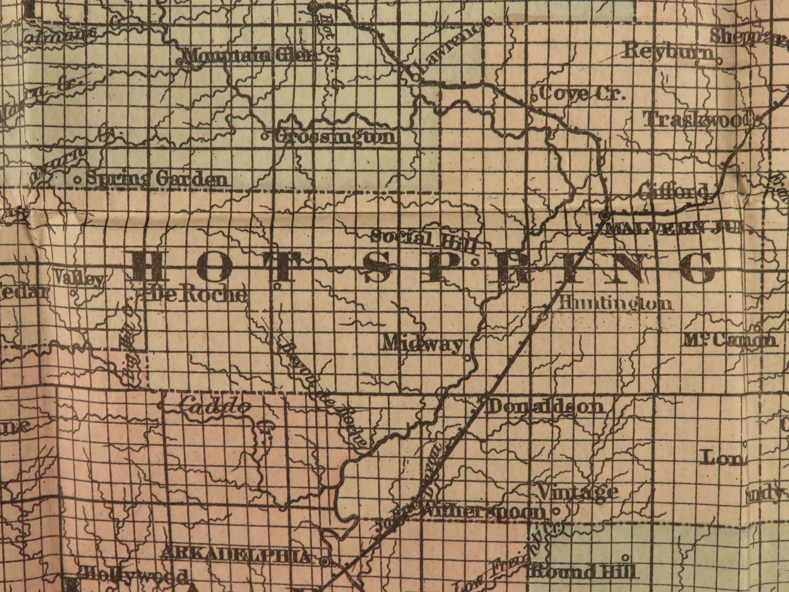
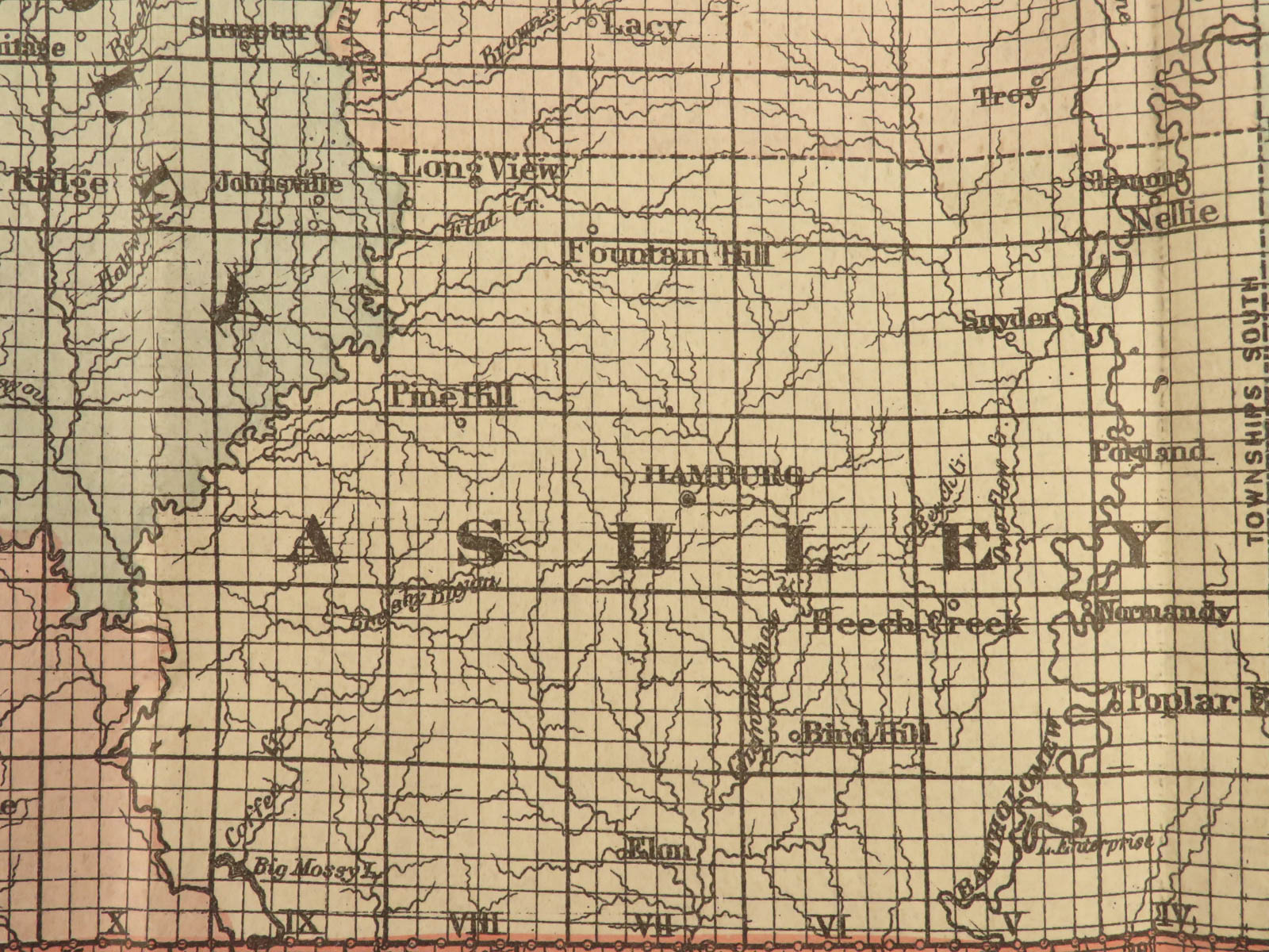
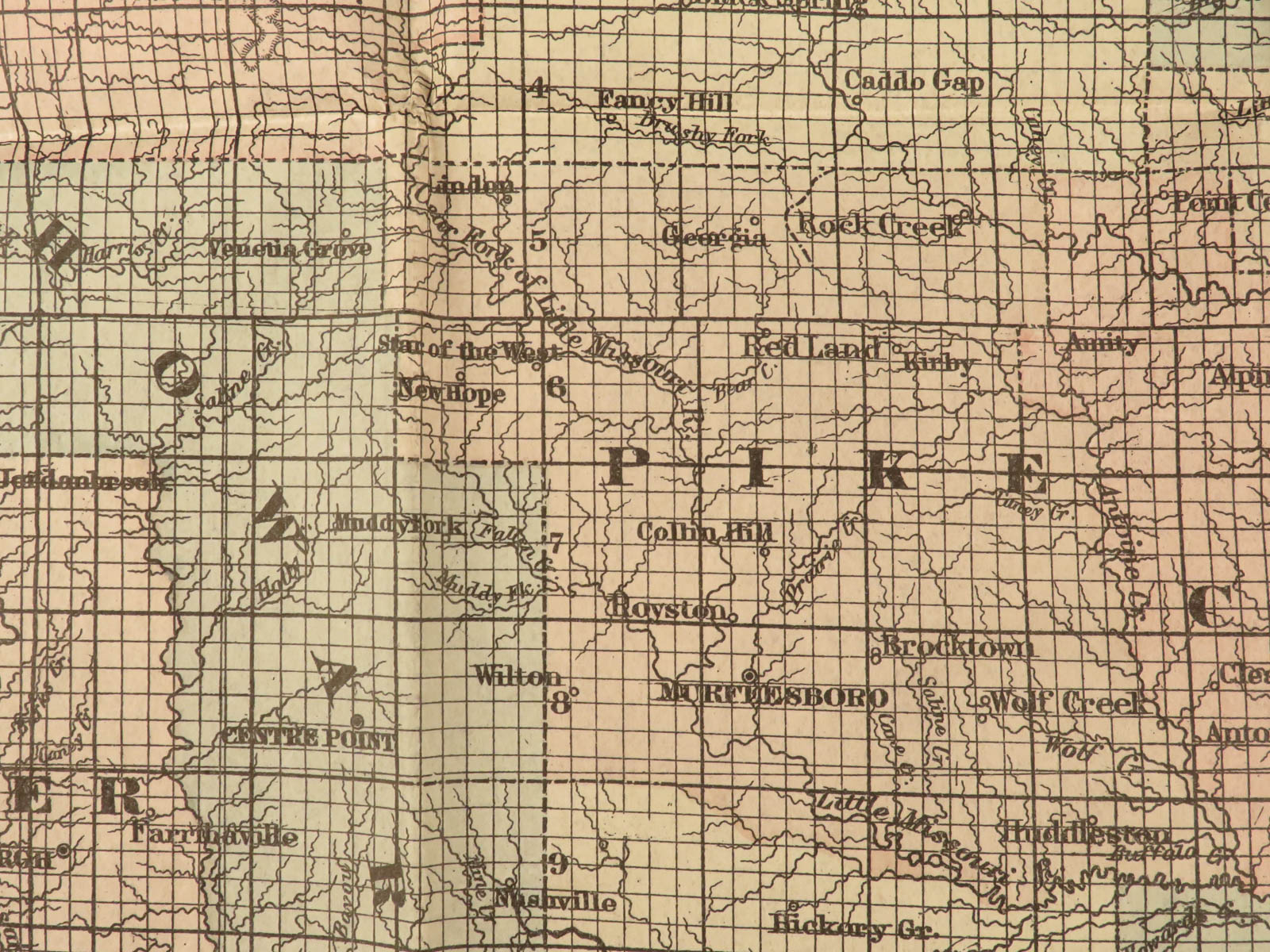
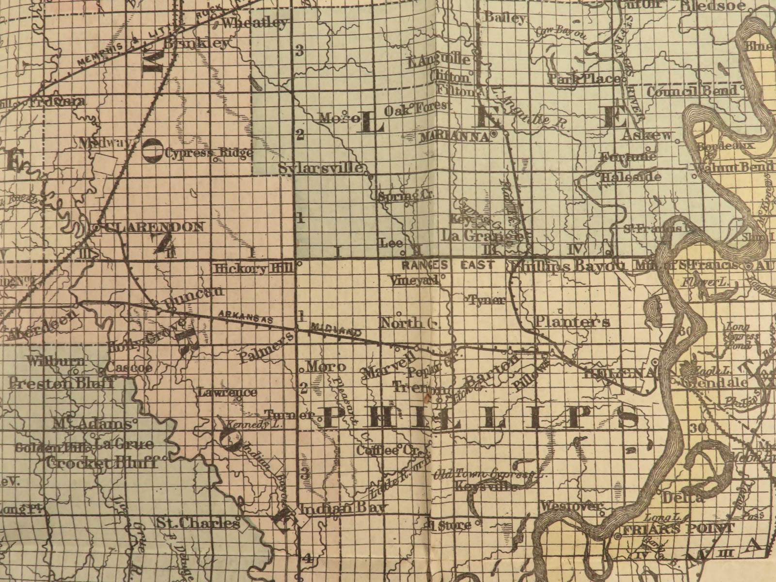
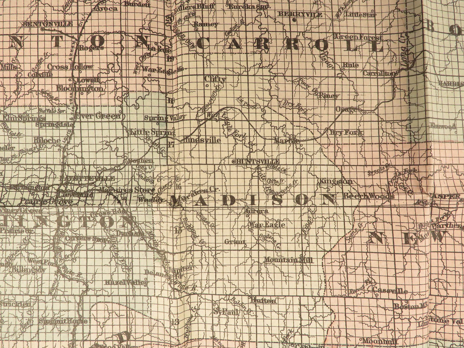
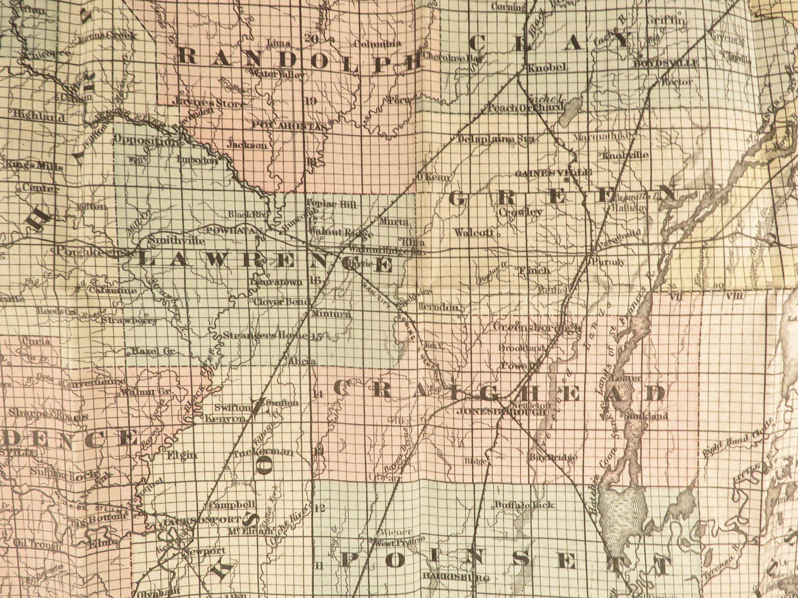
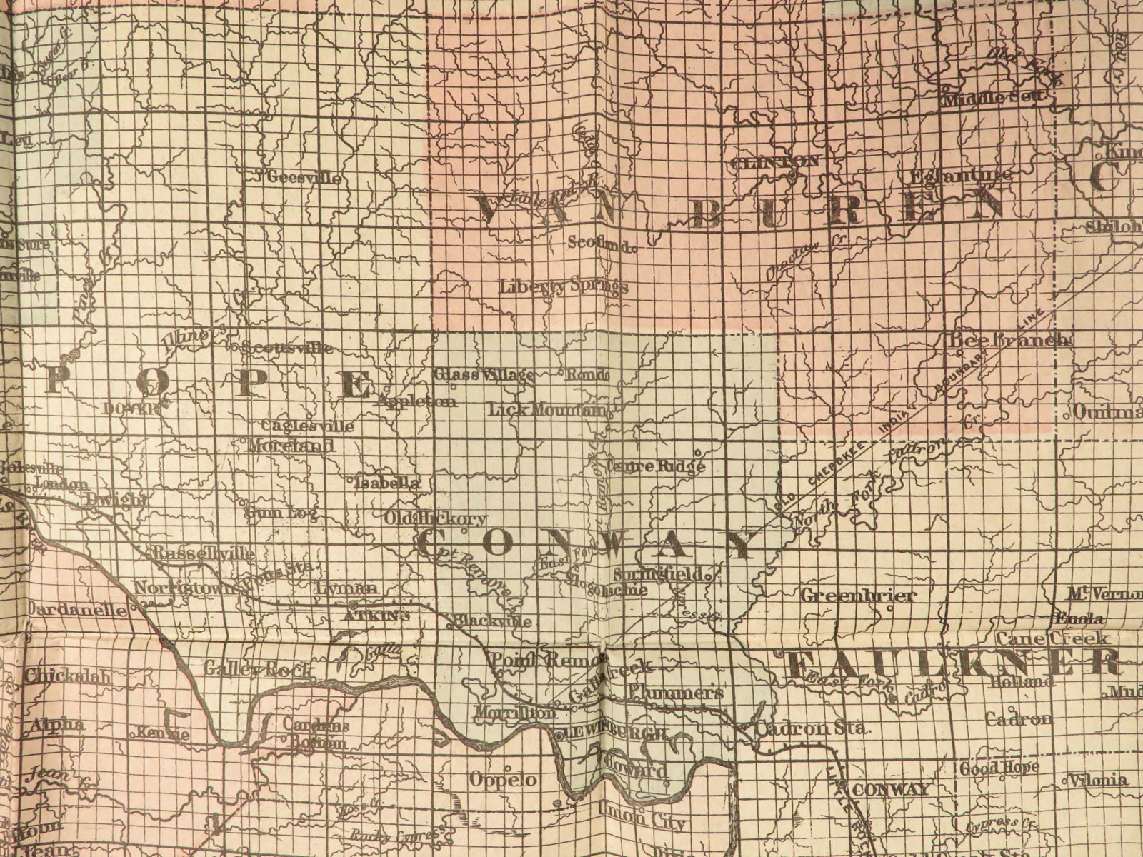
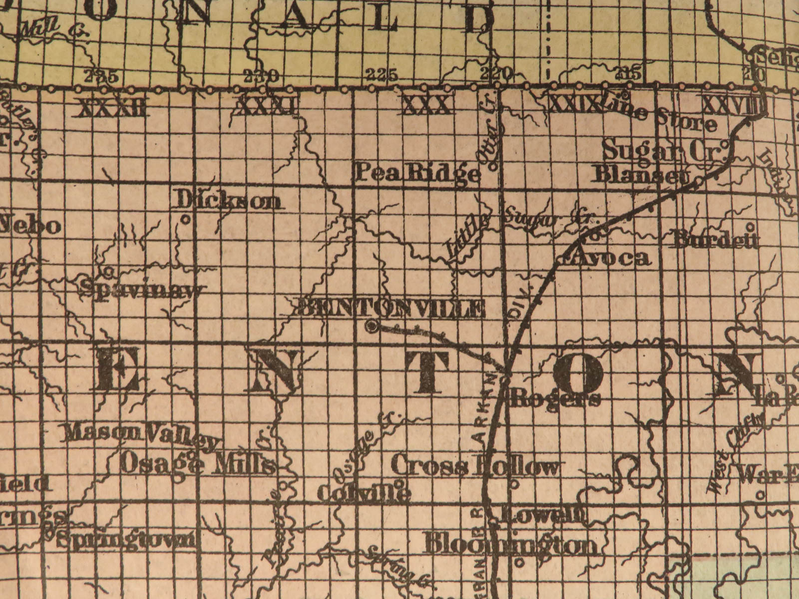
This huge folding map of the state of Arkansas was published in New York, bound in a small pocket-size tome.
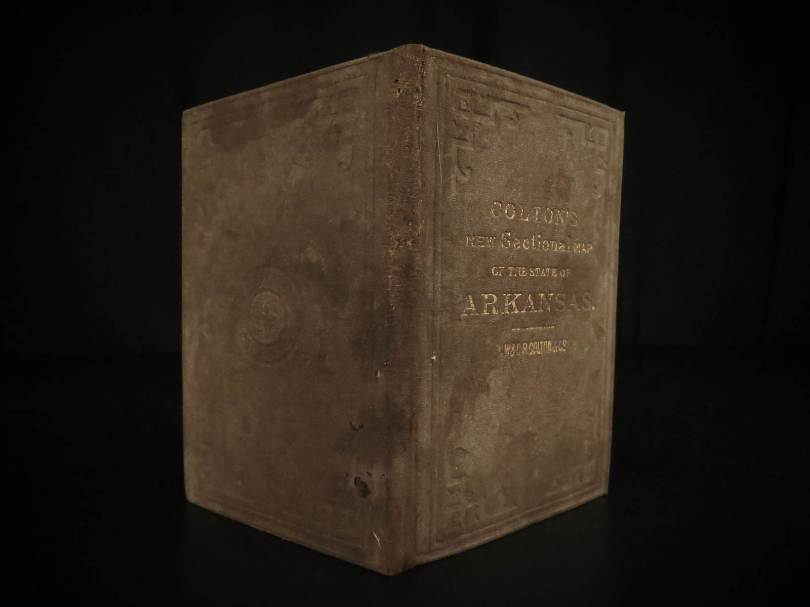
1888 HUGE Colton MAP of ARKANSAS Geography Atlas Little Rock 28x34in Mitchell
Colton maps are often considered the very best of 19th-century maps. Known for their accuracy and attention to detail, Colton maps have maintained their desirability even into the 21st-century. Cartographers such as Augustus Mitchell would use Colton to publish their maps.
This huge folding map of the state of Arkansas was published in New York, bound in a small pocket-size tome.
Item number: #16722
Price: $599
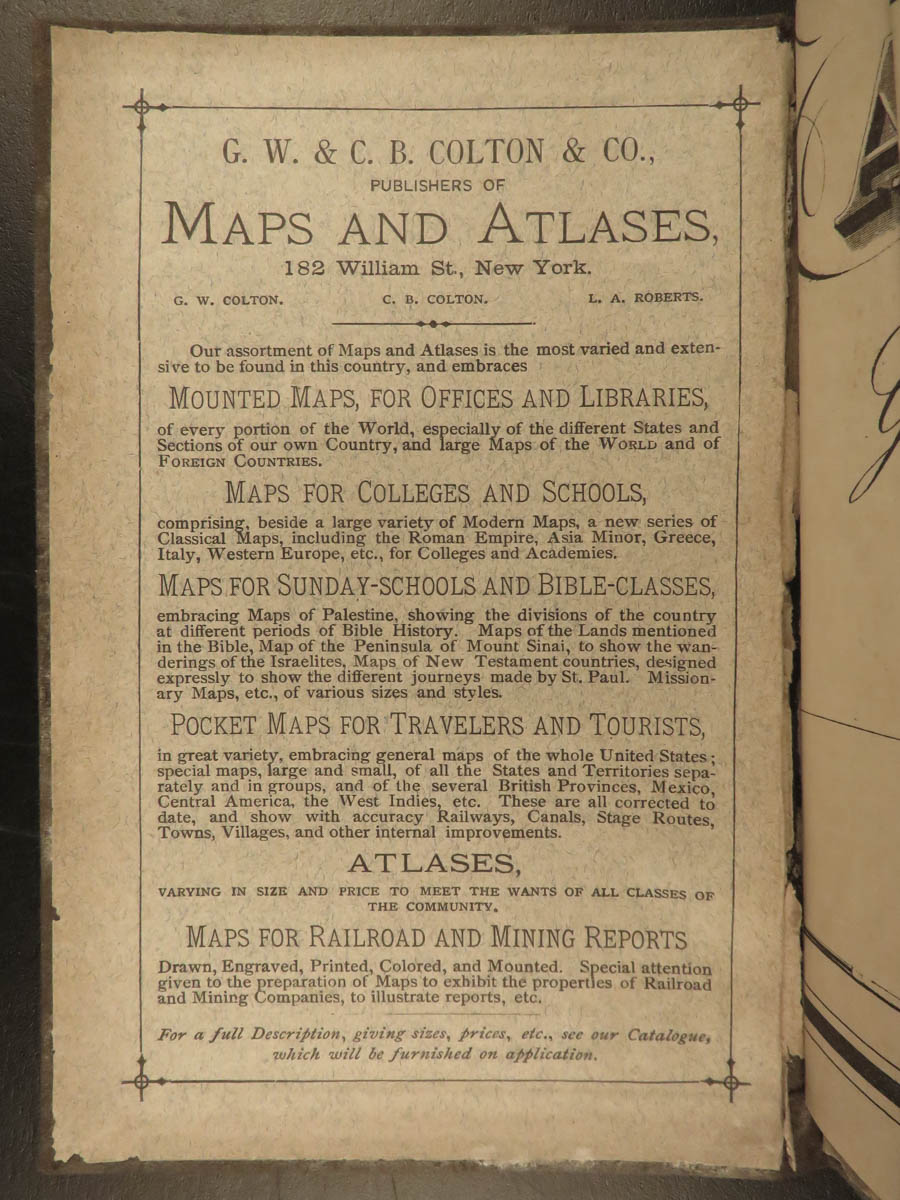
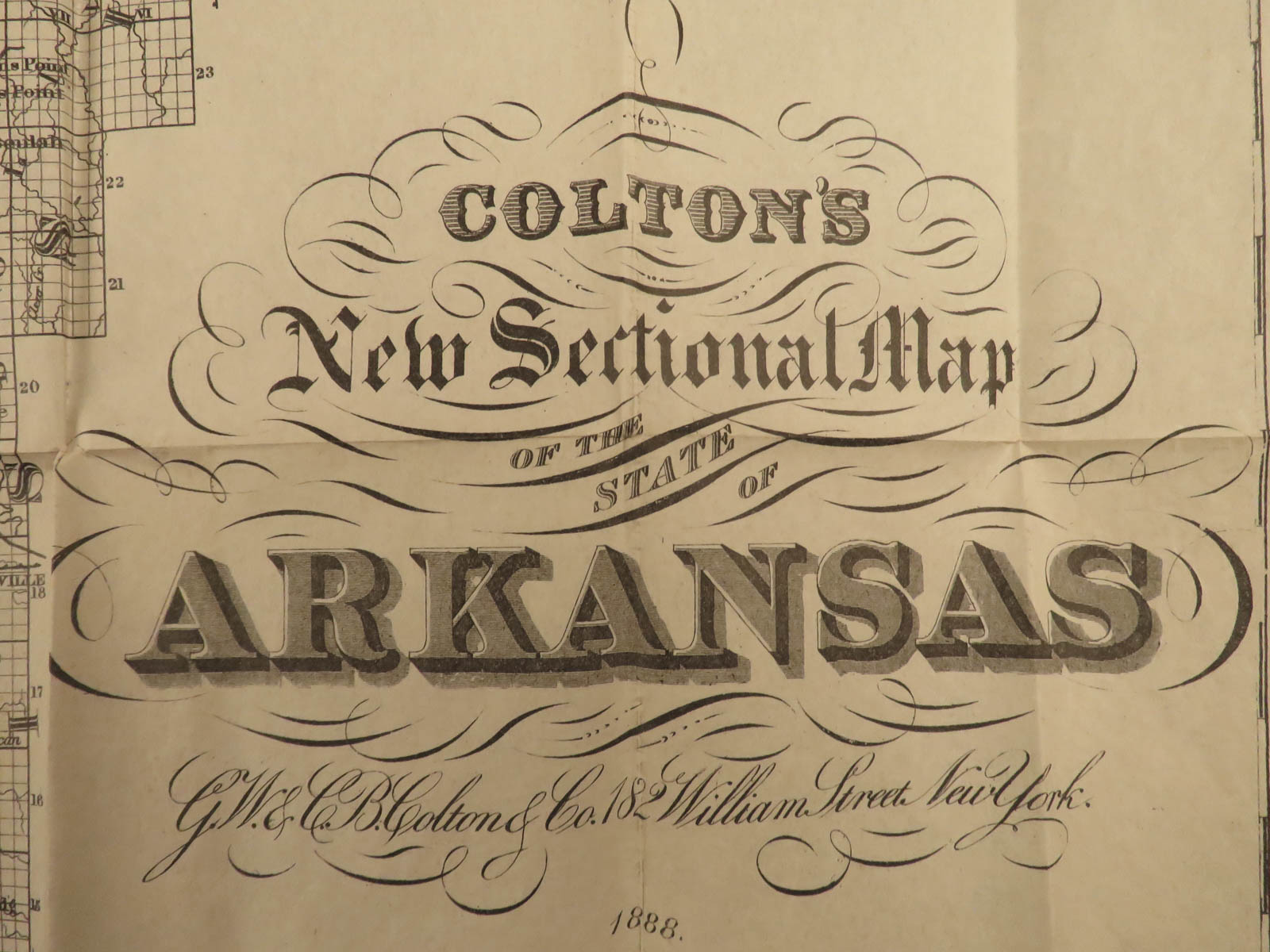
MITCHELL, Augustus (cartog.)
ARKANSAS
New York : G.W. & C.B. Colton & Co, [1888].
Details:
- Binding: Hardcover; secure
- Cloth
- Map size: ~28in X 34.75in (71.5cm x 88cm)
- Tome size: ~6.25in X 4in (15.5cm x 10cm)
Our Guarantee:
Very Fast. Very Safe. Free Shipping Worldwide.
Customer satisfaction is our priority! Notify us with 7 days of receiving, and we will offer a full refund without reservation!
16722
Categories
Medicine & Science
Voyages & Exploration & Maps
Authors
MITCHELL, Augustus (cartog.)
Printing Date
19th Century
Language
English
Binding
Hardcover
Book Condition
Excellent
Collation
Complete
Other Books you might like...
-
Sale!
 Add to cart
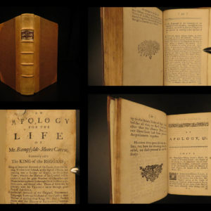
1760 Adventures of Bampfylde Moore Carew Beggars Gypsies America Tobacco Goadby
Original price was: $499.00.$399.00Current price is: $399.00. -
Sale!
 Add to cart
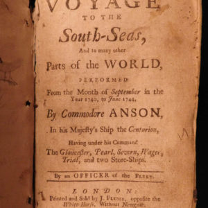
1744 RAREST George Anson Voyage to South-Seas South America Brazil Peru Chile
Original price was: $2,500.00.$1,950.00Current price is: $1,950.00. -
Sale!
 Add to cart
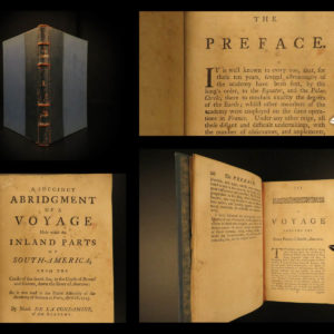
1747 English 1ed Condamine Science Voyage Equador South America Amazon Geography
Original price was: $599.00.$499.00Current price is: $499.00. -
Sale!
 Add to cart
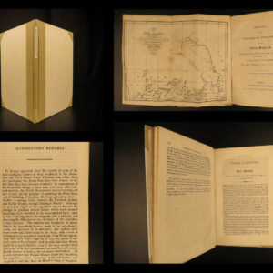
1819 1ed Arctic MAPS Fisher Journal of William Parry Voyage Eskimos North Pole
Original price was: $599.00.$499.00Current price is: $499.00.