1878 – U.S. Territory Survey | First Edition – Rocky Mountains, Canada, Maps
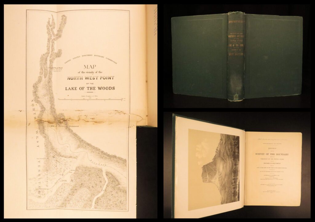
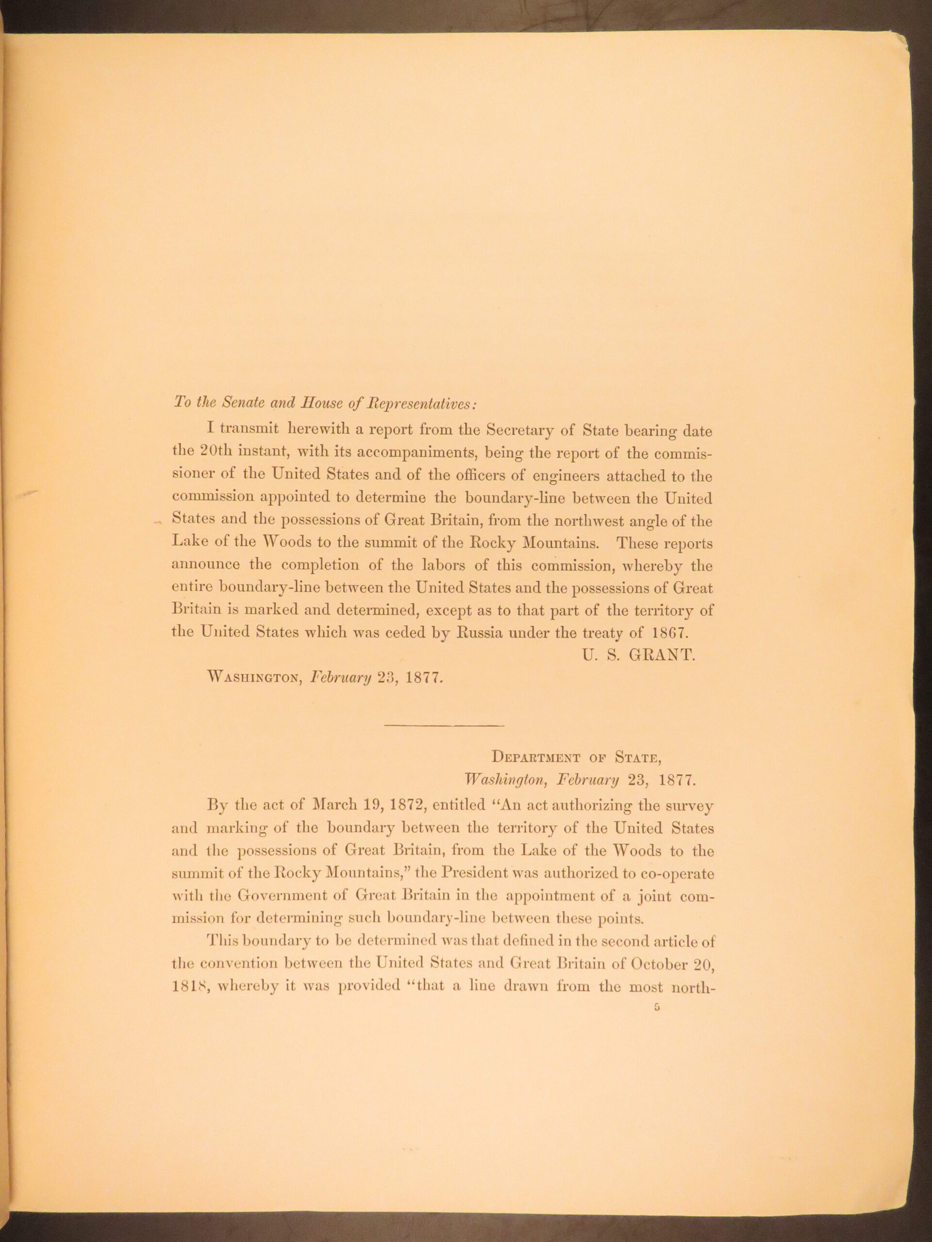
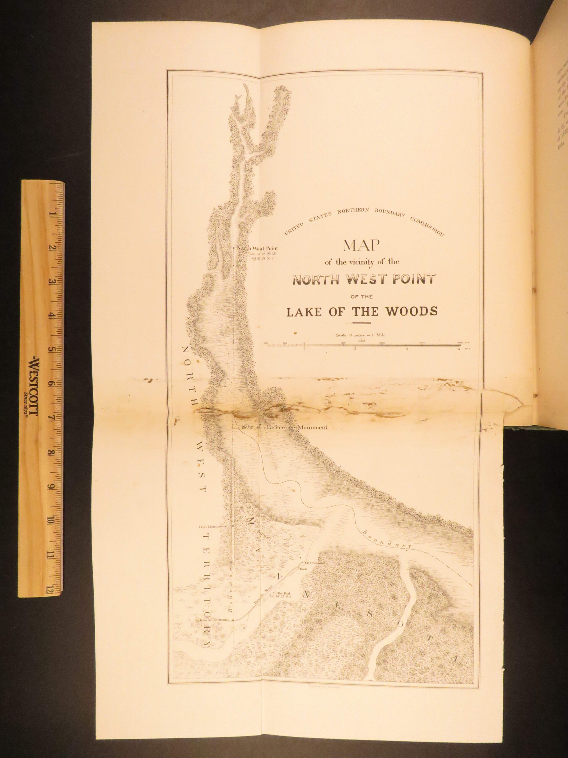
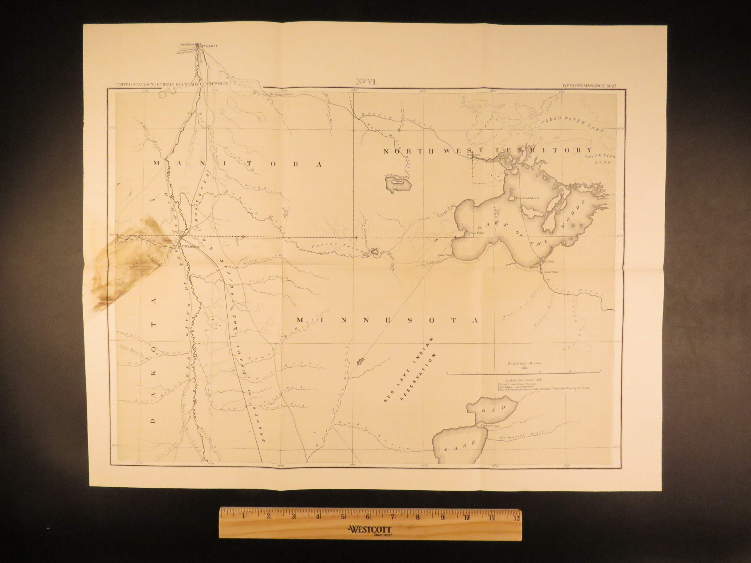
In March of 1872, the United States Congress passed an act clarifying boundary disputes between Great Britain and the US. Beginning with the Treaty of Paris and the end of the Revolutionary War, boundaries were ambiguously established most notably concerning the land between the Lake of the Woods (in Minnesota near Ontario) and the Rocky Mountains.
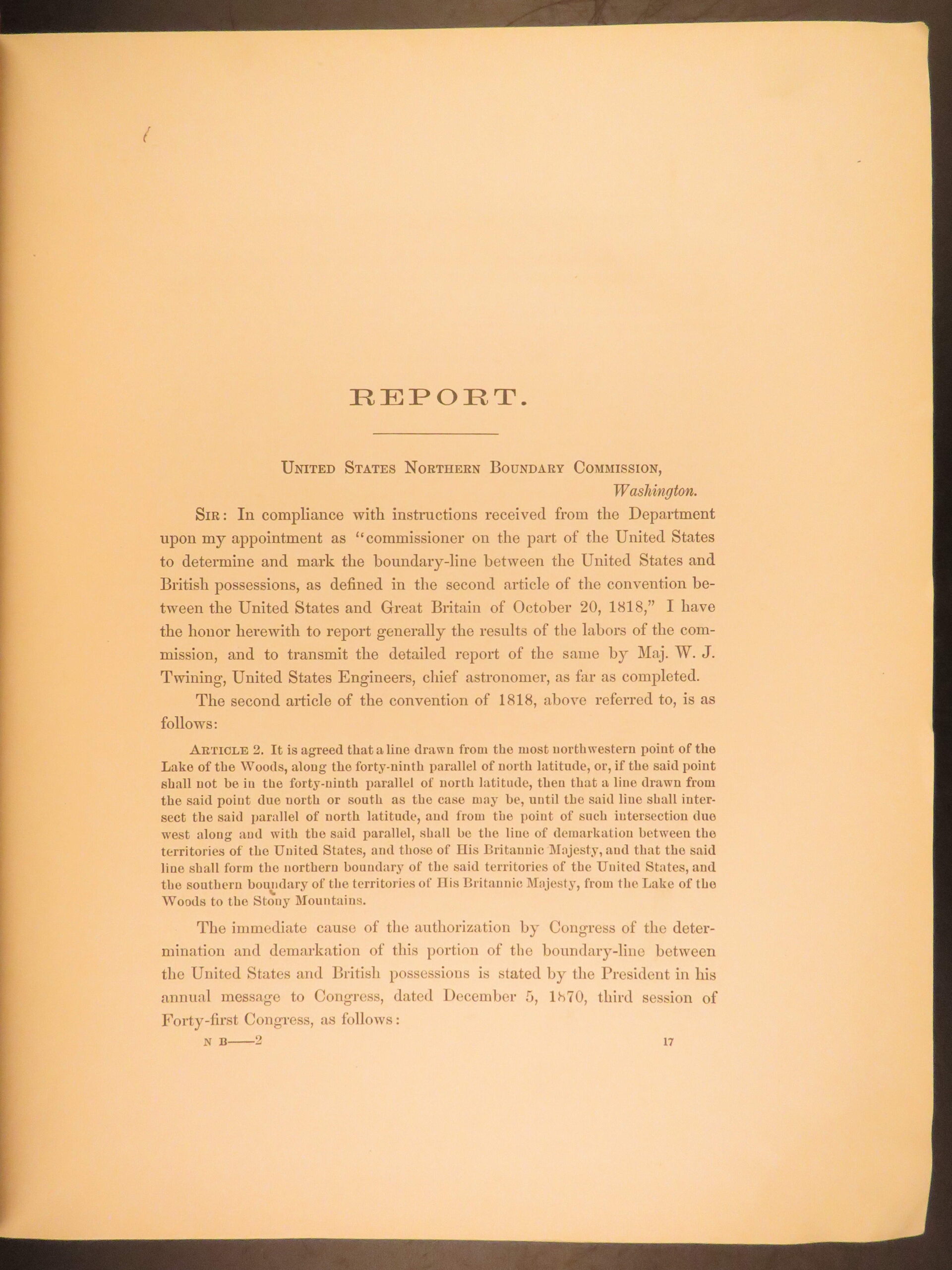
The congressional act in 1872 finally made clear the precise placement of the 49th parallel and identified key geographic features in the area.
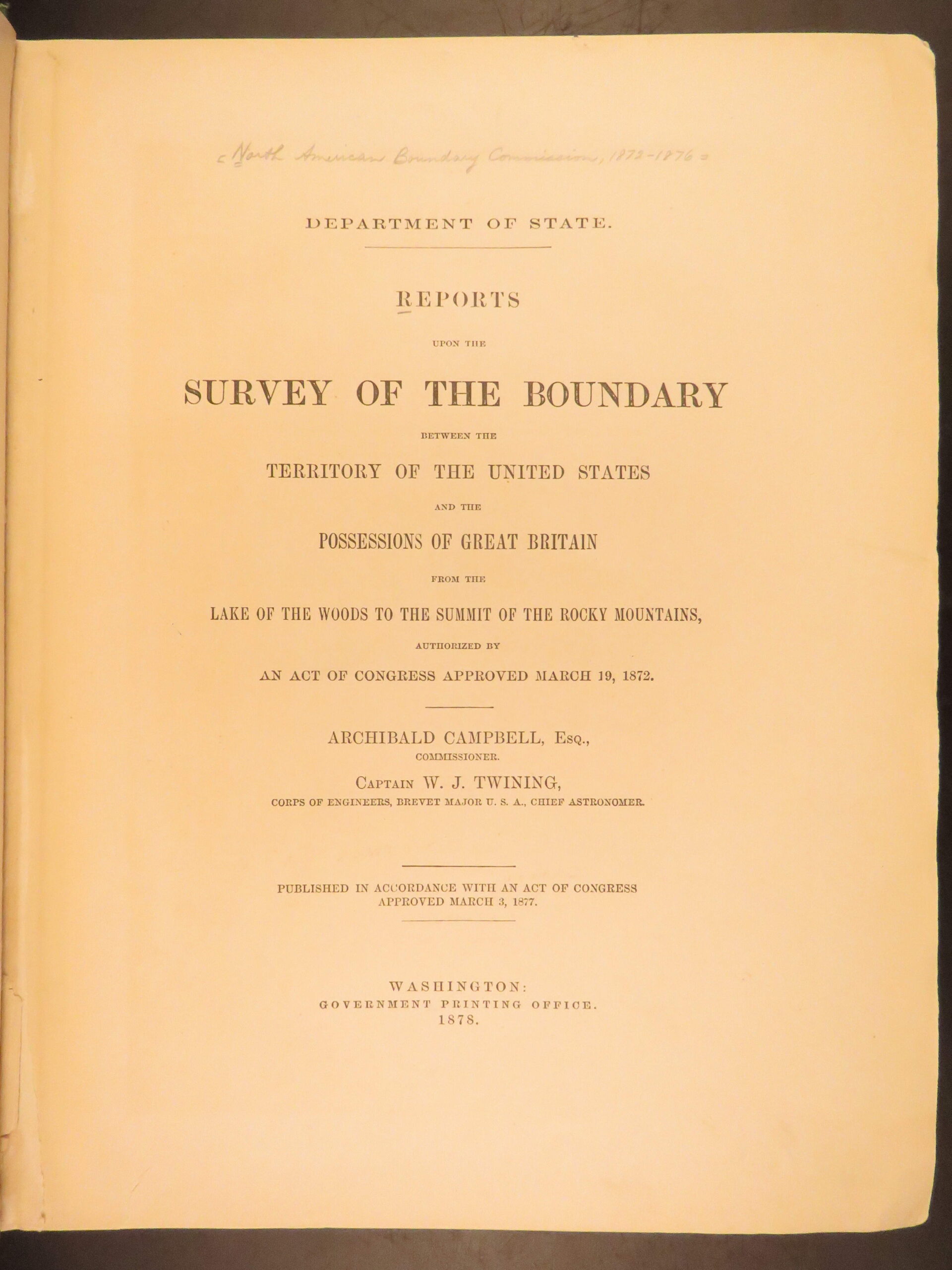
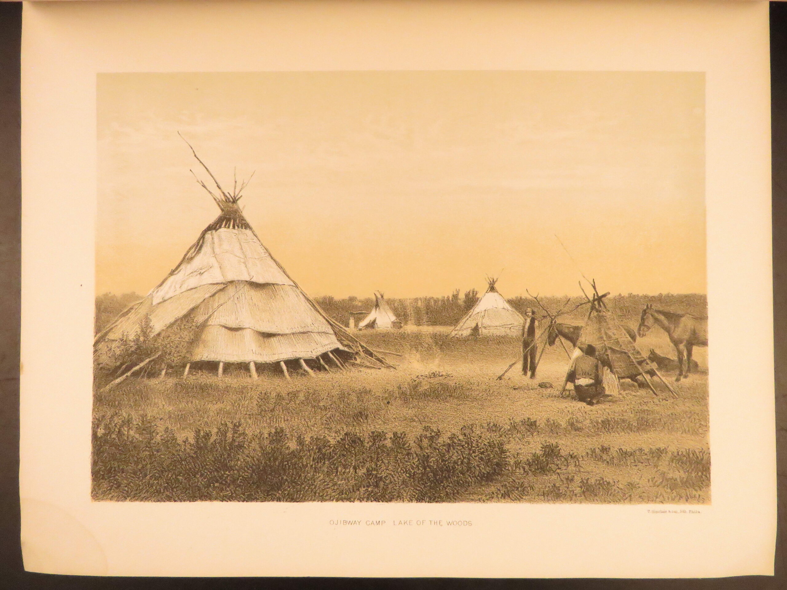
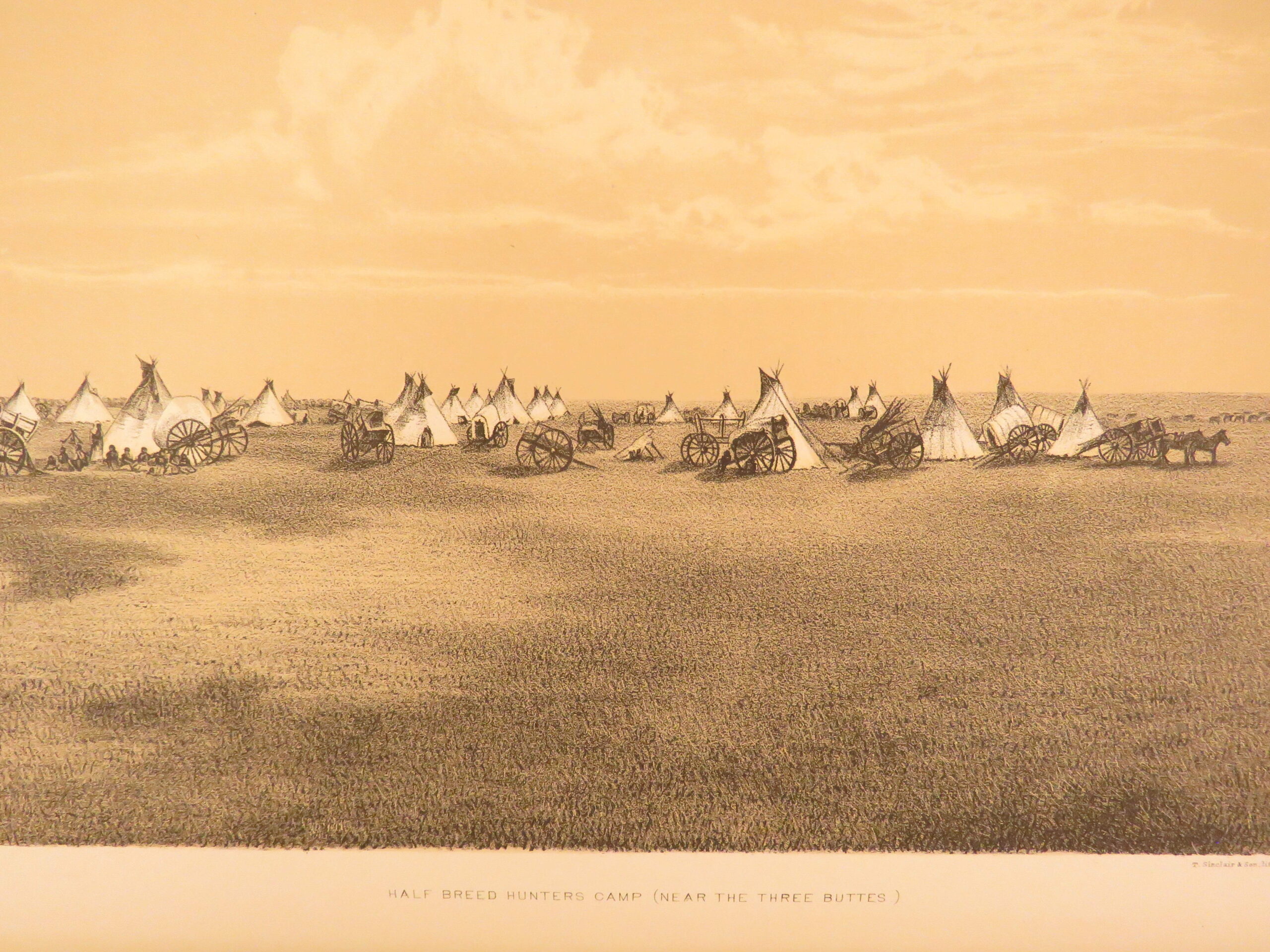
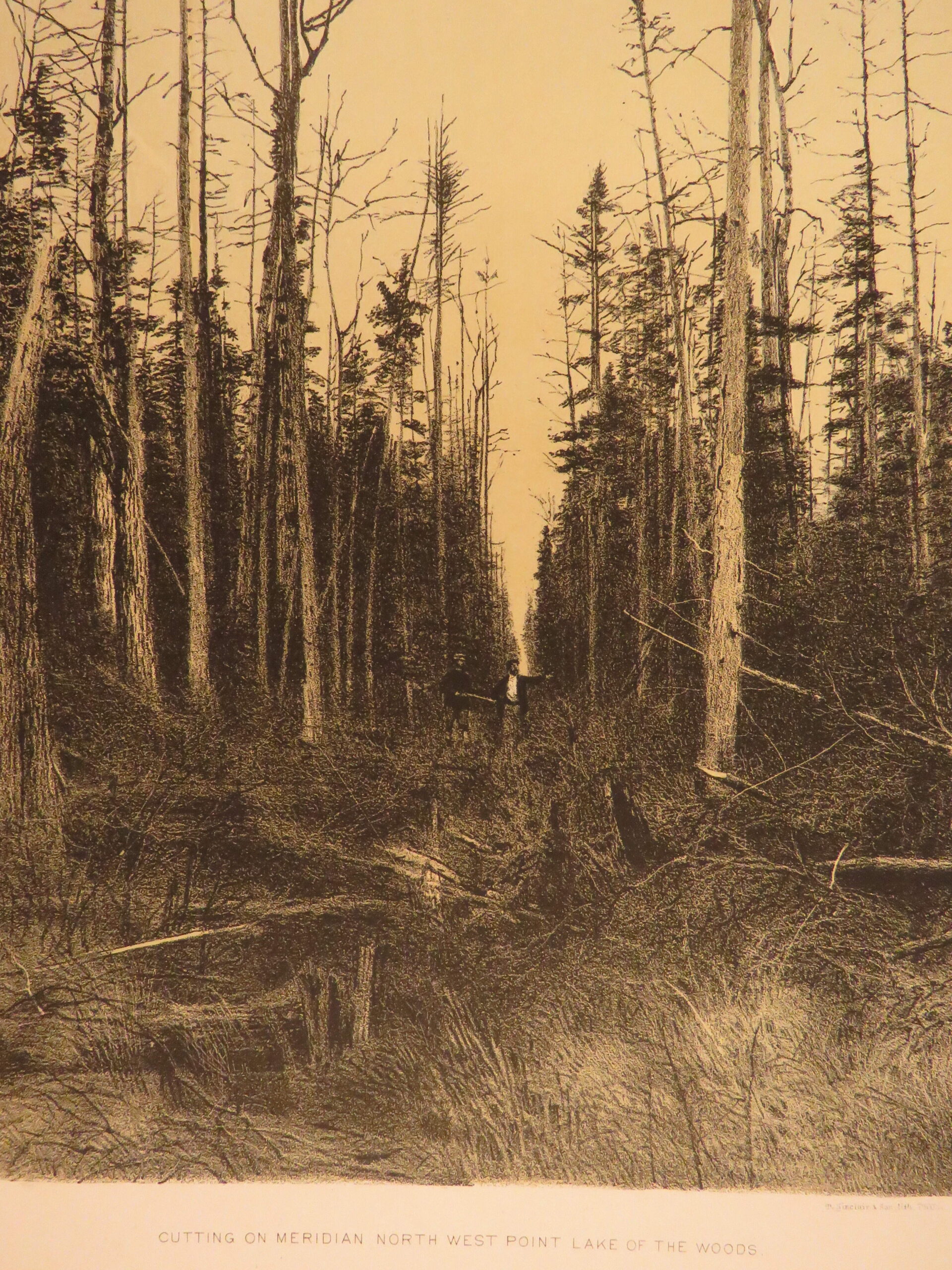
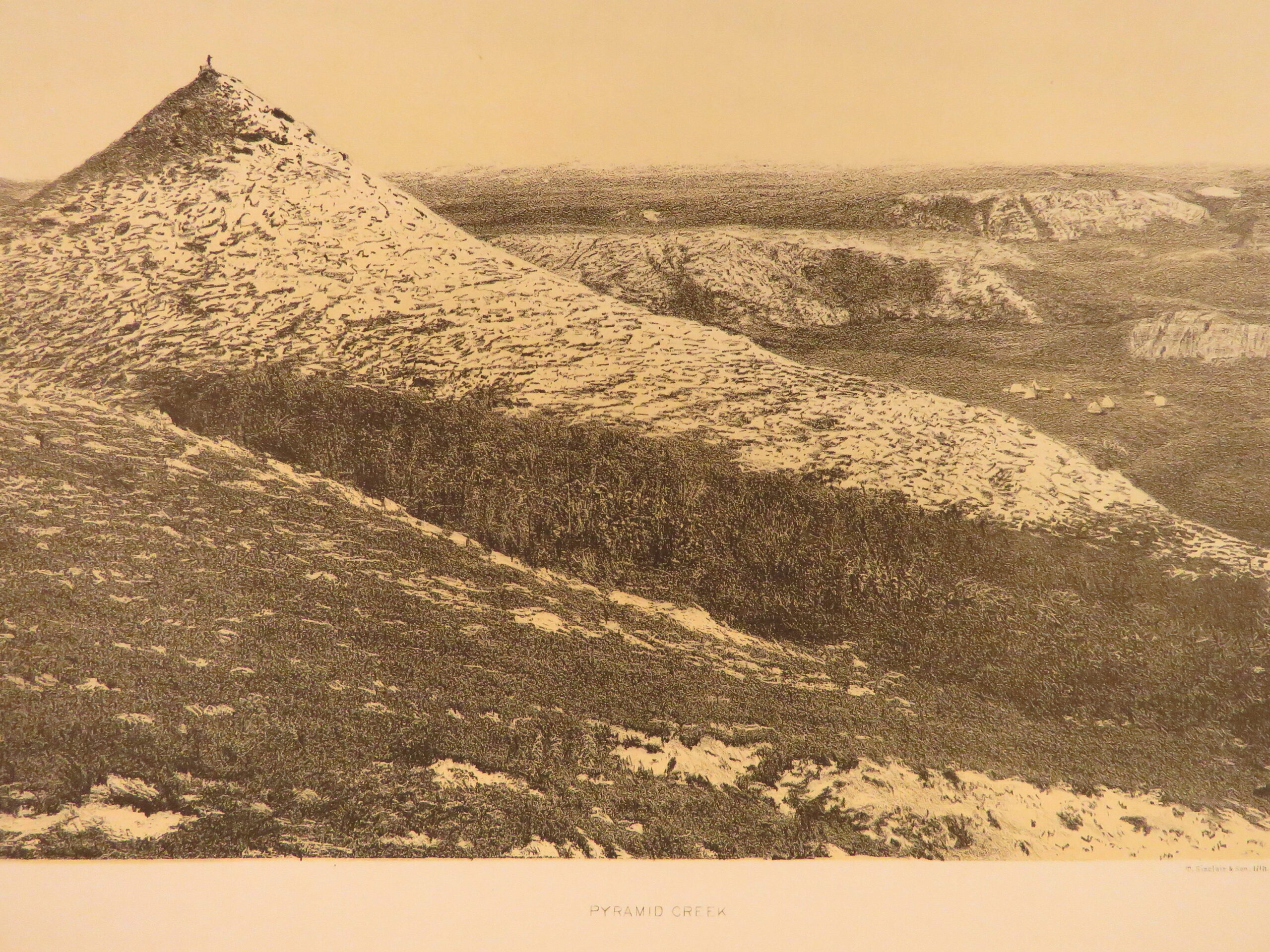
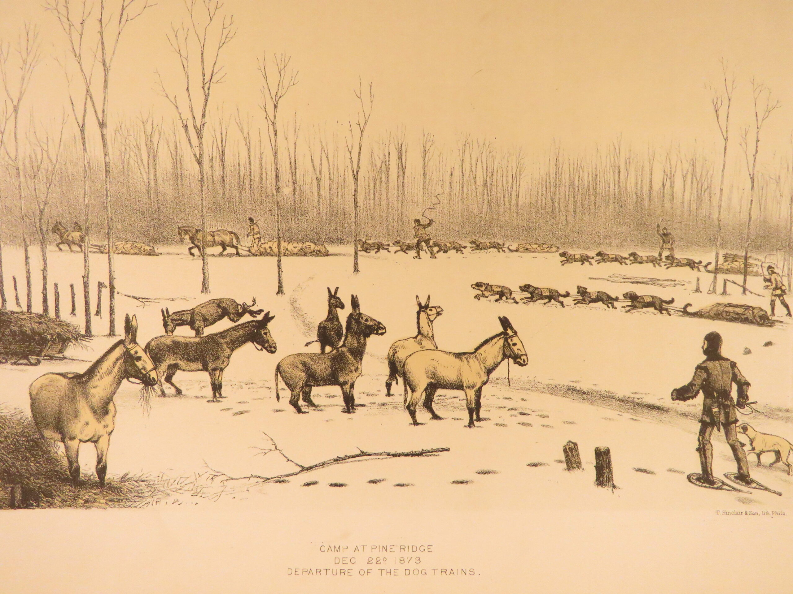
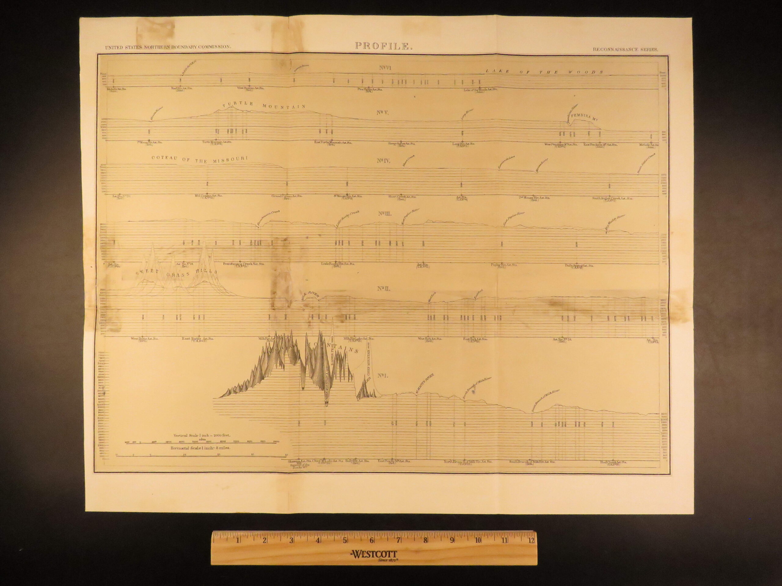
Author Archibald Campbell published an extensive report on the congressional act, surveying the boundary and offering description of the Rocky Mountains and the American/Canadian border. This impressive 1878 first edition of Campbell’s report features numerous folding charts and maps.
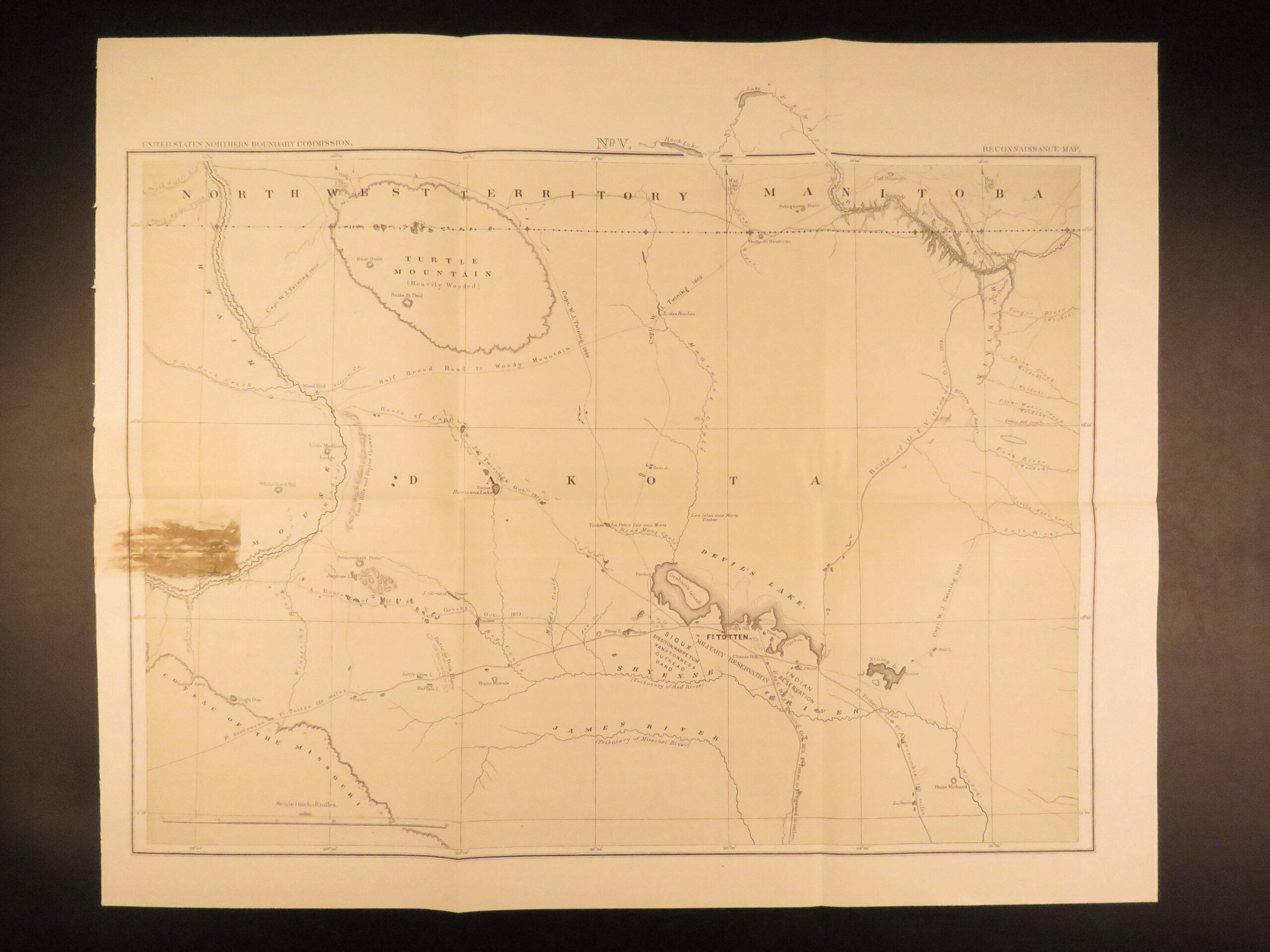
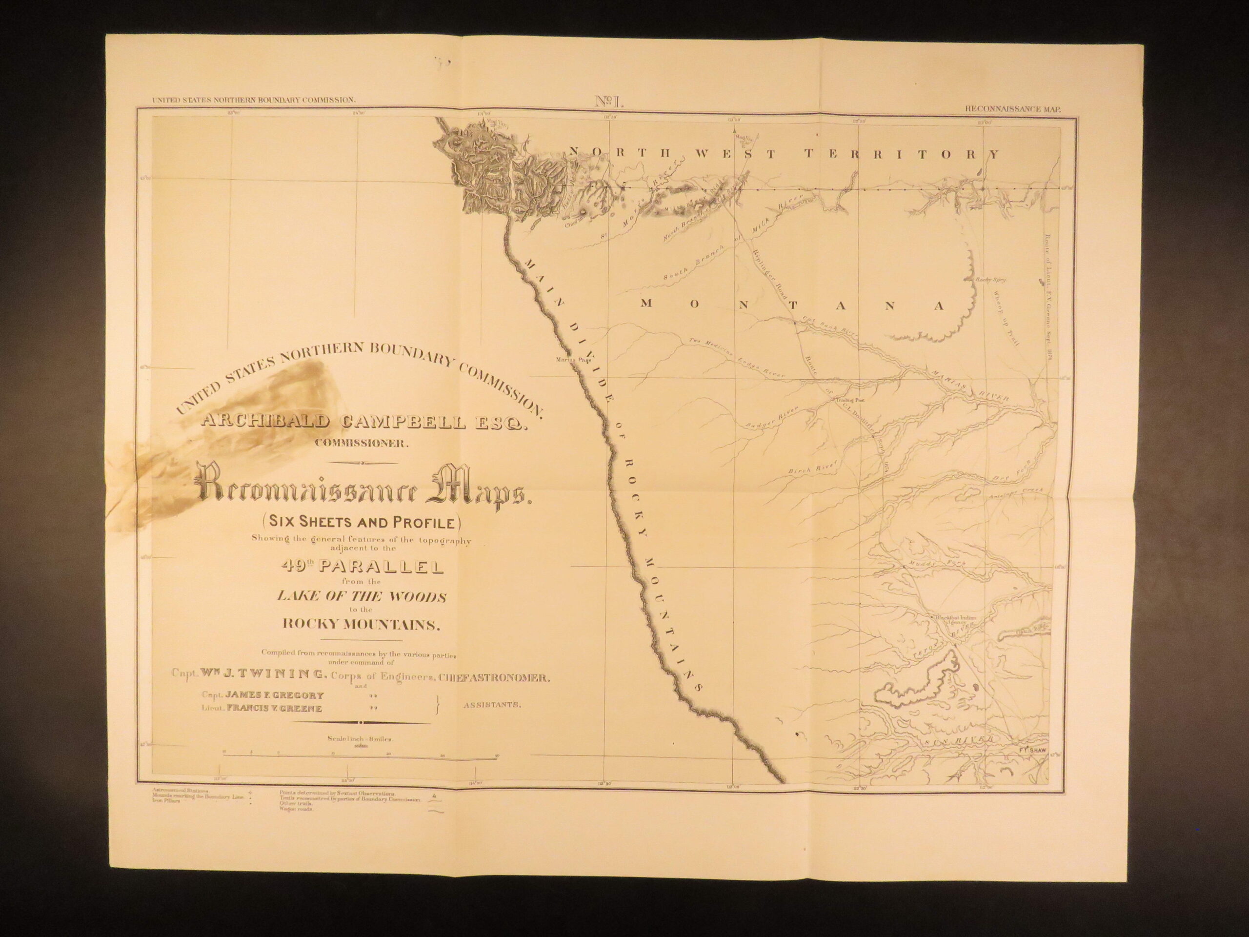
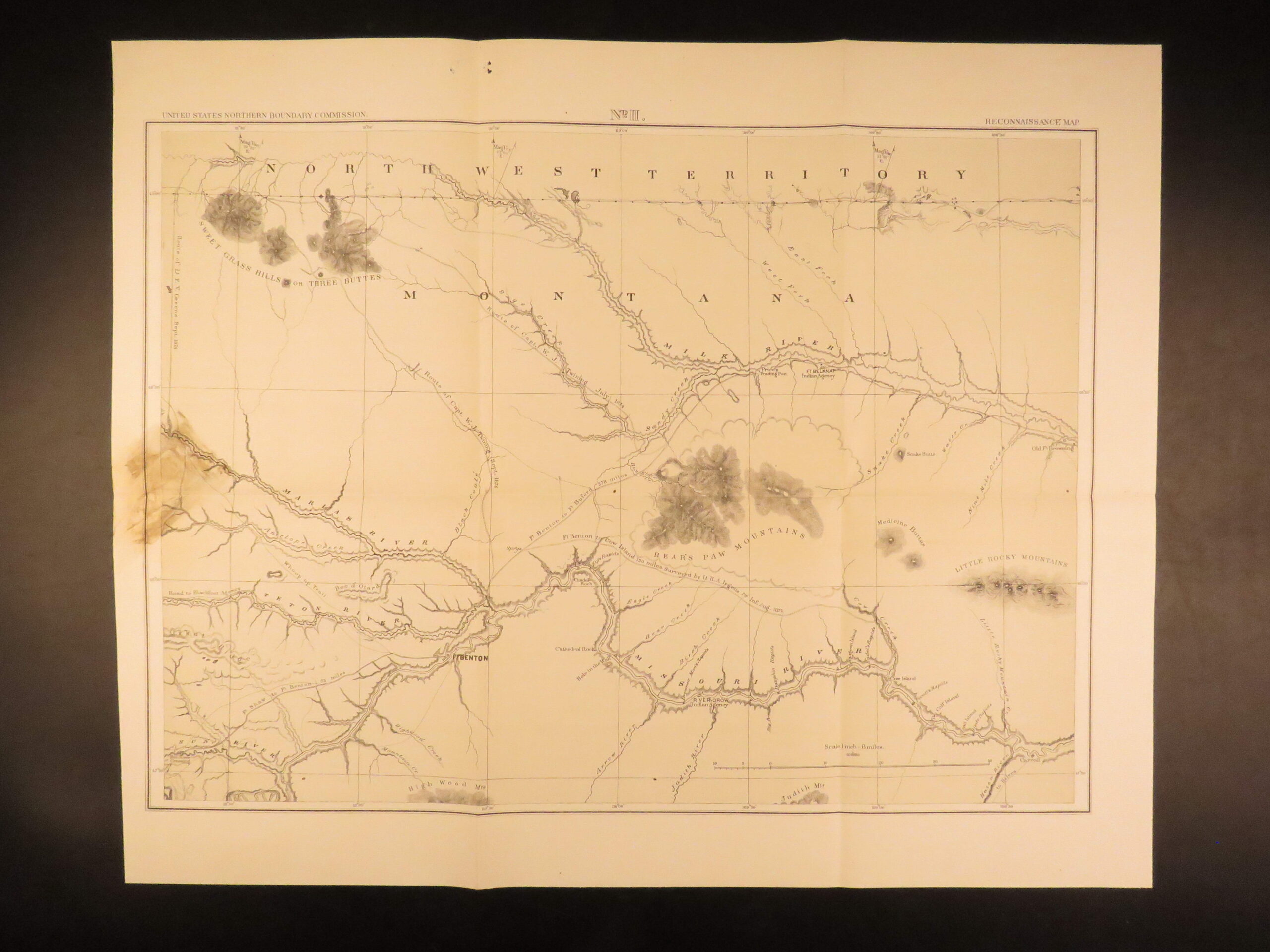
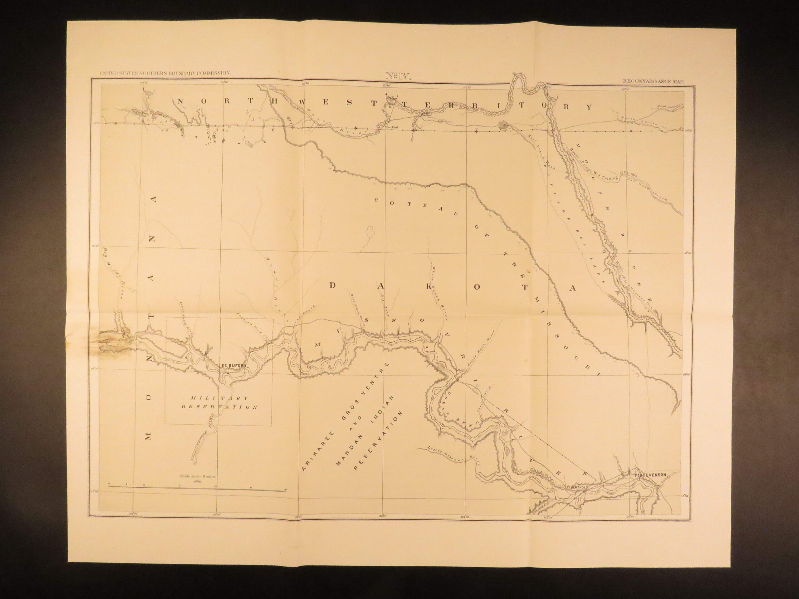
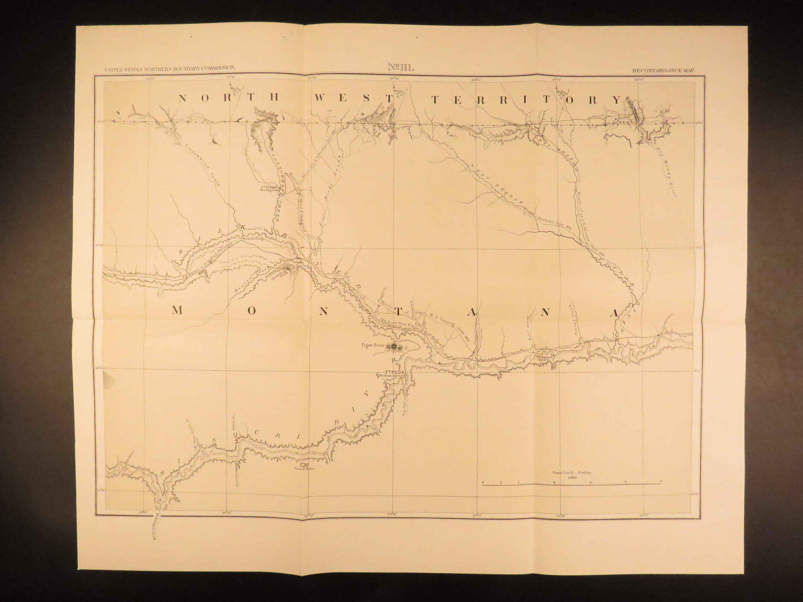
1878 – U.S. Territory Survey | First Edition – Rocky Mountains, Canada, Maps
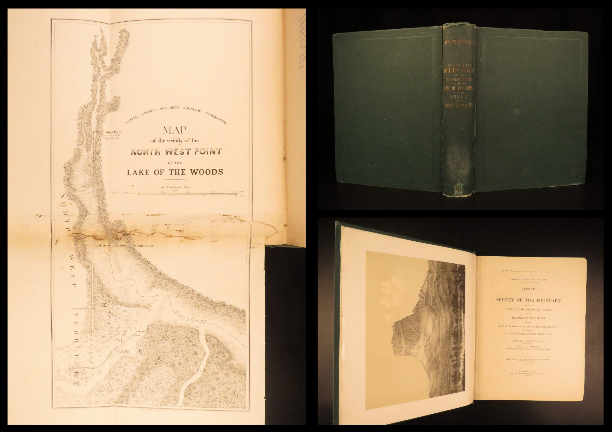
In March of 1872, the United States Congress passed an act clarifying boundary disputes between Great Britain and the US. Beginning with the Treaty of Paris and the end of the Revolutionary War, boundaries were ambiguously established most notably concerning the land between the Lake of the Woods (in Minnesota near Ontario) and the Rocky Mountains.
The congressional act in 1872 finally made clear the precise placement of the 49th parallel and identified key geographic features in the area.
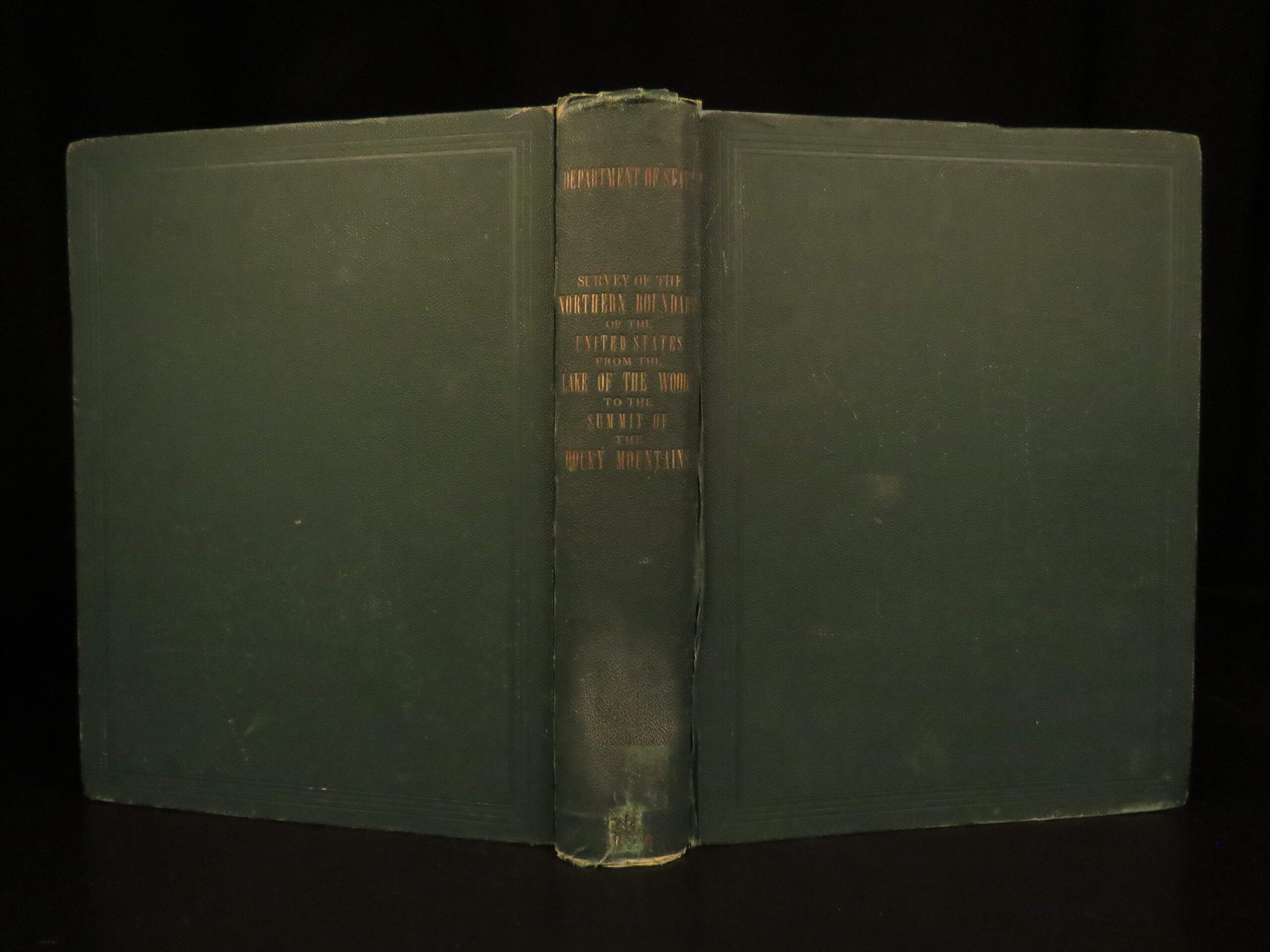
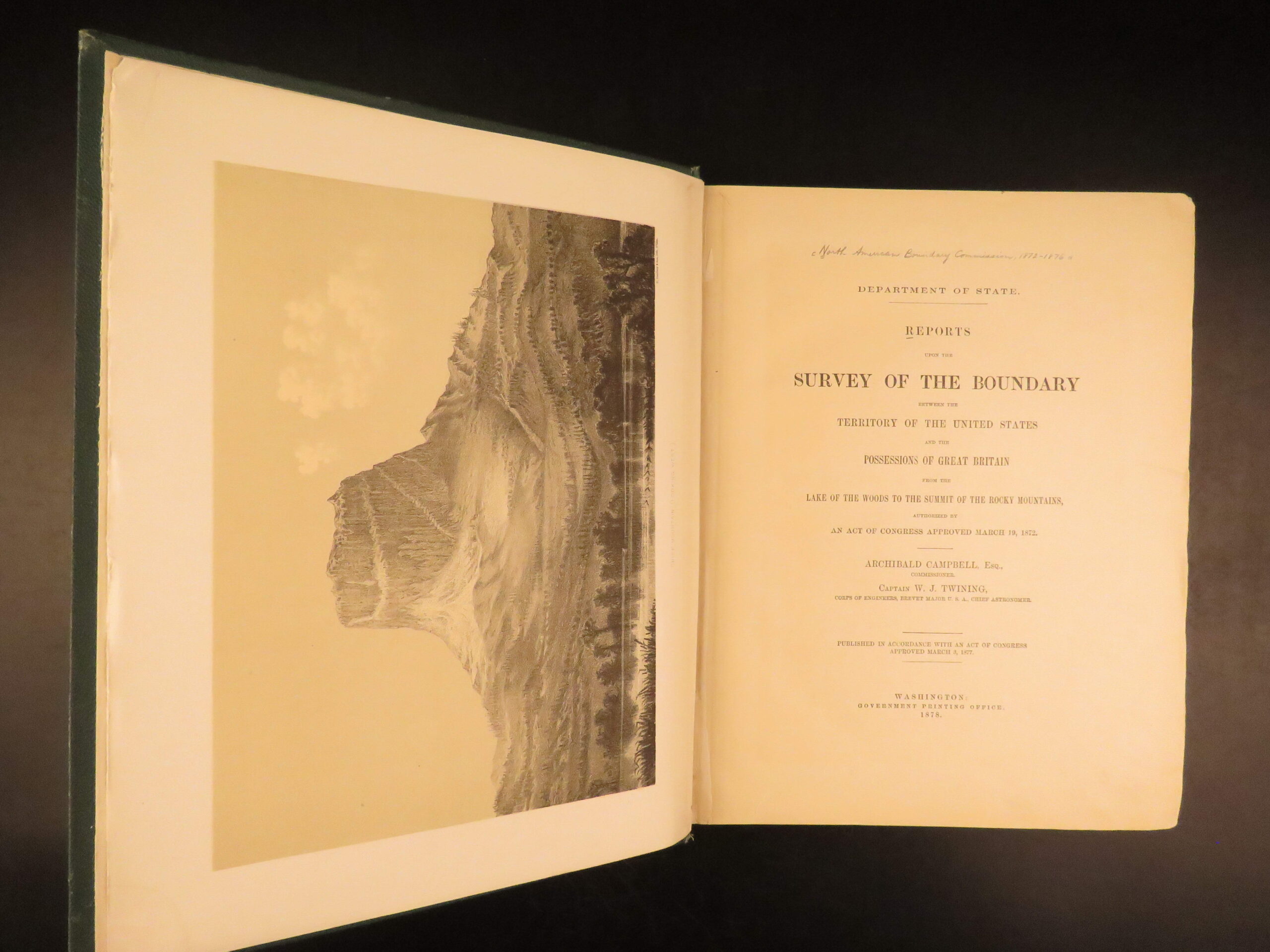
Author Archibald Campbell published an extensive report on the congressional act, surveying the boundary and offering description of the Rocky Mountains and the American/Canadian border. This impressive 1878 first edition of Campbell’s report features numerous folding charts and maps.
Condition: Text block secure with light wiggle to the front cover. Corners show mild rubbing. Few pages show staining but all text is legible and clean.
Item number: #27819
Price: $499
CAMPBELL, Archibald
Reports upon the survey of the boundary between the territory of the United States and the possessions of Great Britain from the Lake of the Woods to the summit of the Rocky Mountains
Washington, D.C.: Printed for the U.S. Department of State by the Government Printing Office, 1878. First edition.
Details:
- Collation complete with all pages
- 624p
- 27 leaves of plates
- References: Wheat, Transmississippi 1289;
- Language: English
- Binding: Green cloth hardcover
Our Guarantee:
Very Fast. Very Safe. Free Shipping Worldwide.
Customer satisfaction is our priority! Notify us with 7 days of receiving, and we will offer a full refund without reservation!
Categories
Americana, American History
Law & Government
Voyages & Exploration & Maps
Authors
CAMPBELL, Archibald
Printing Date
19th Century
Language
English
Binding
Hardcover
Book Condition
Good
Collation
Complete
Other Books you might like...
-
Sale!
 Add to cart
1765 LAW Justinian Code Codex Fabrianus Savoy Court ROME Latin Favre FOLIO
Original price was: $499.00.$399.00Current price is: $399.00. -
Sale!
 Add to cart
1631 LAW Corpus Juris Canonici Inquisition Pope Gregory XIII Gregory Decretals
Original price was: $750.00.$599.00Current price is: $599.00. -
Sale!
 Add to cart
1687 Spelman Glossary Archaiologicum English LAW Philology Language Dugdale BEST
Original price was: $750.00.$650.00Current price is: $650.00. -
Sale!
 Add to cart
1681 Life of Thomas Hobbes 1ed Leviathan Philosophy Bathurst Blackburne Cowley
Original price was: $950.00.$850.00Current price is: $850.00.