1871 German ATLAS Lange 44 MAPS America Asia Germany Africa Europe
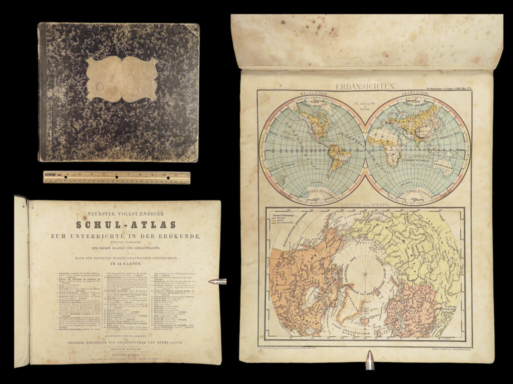
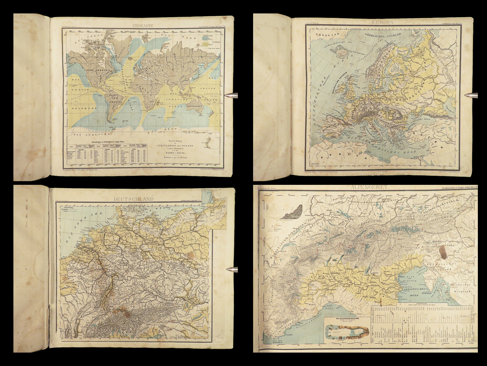
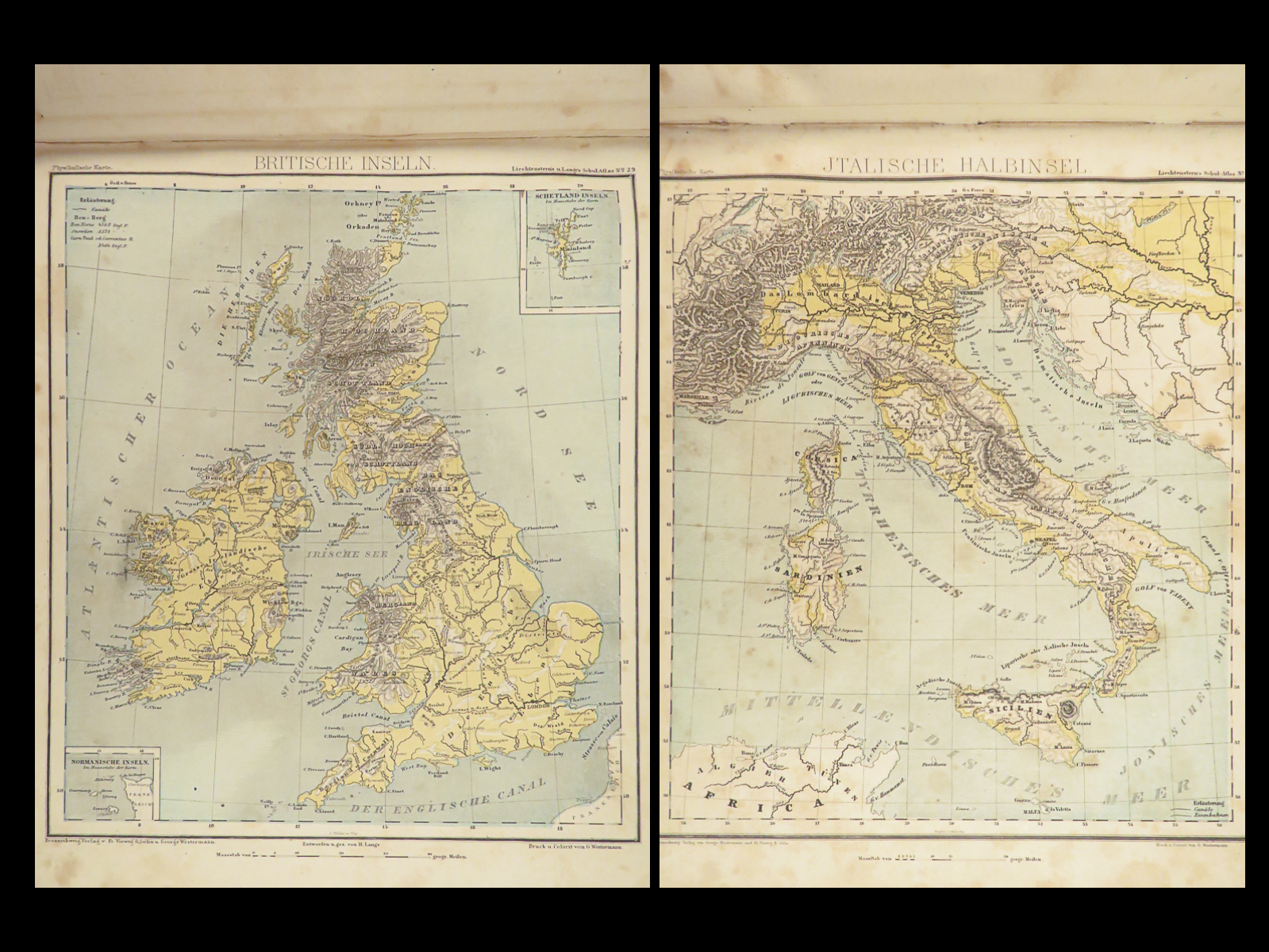
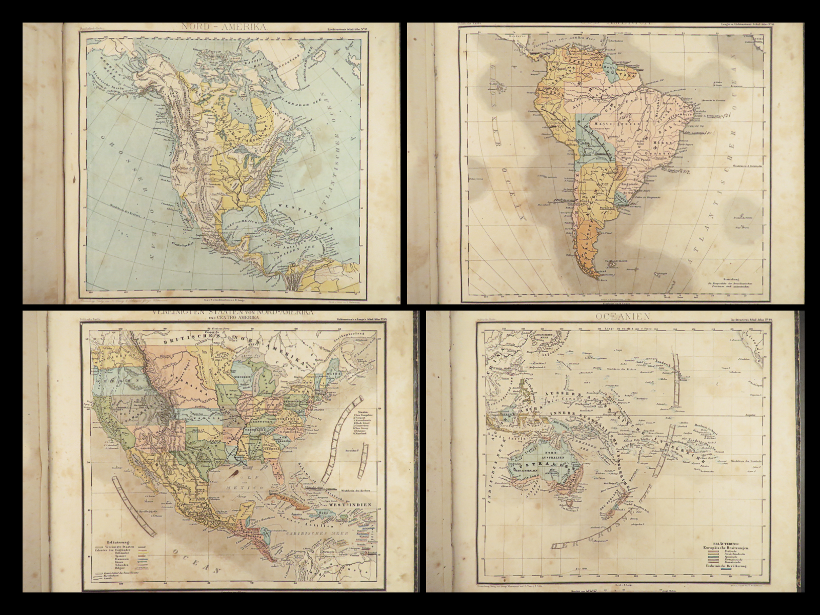
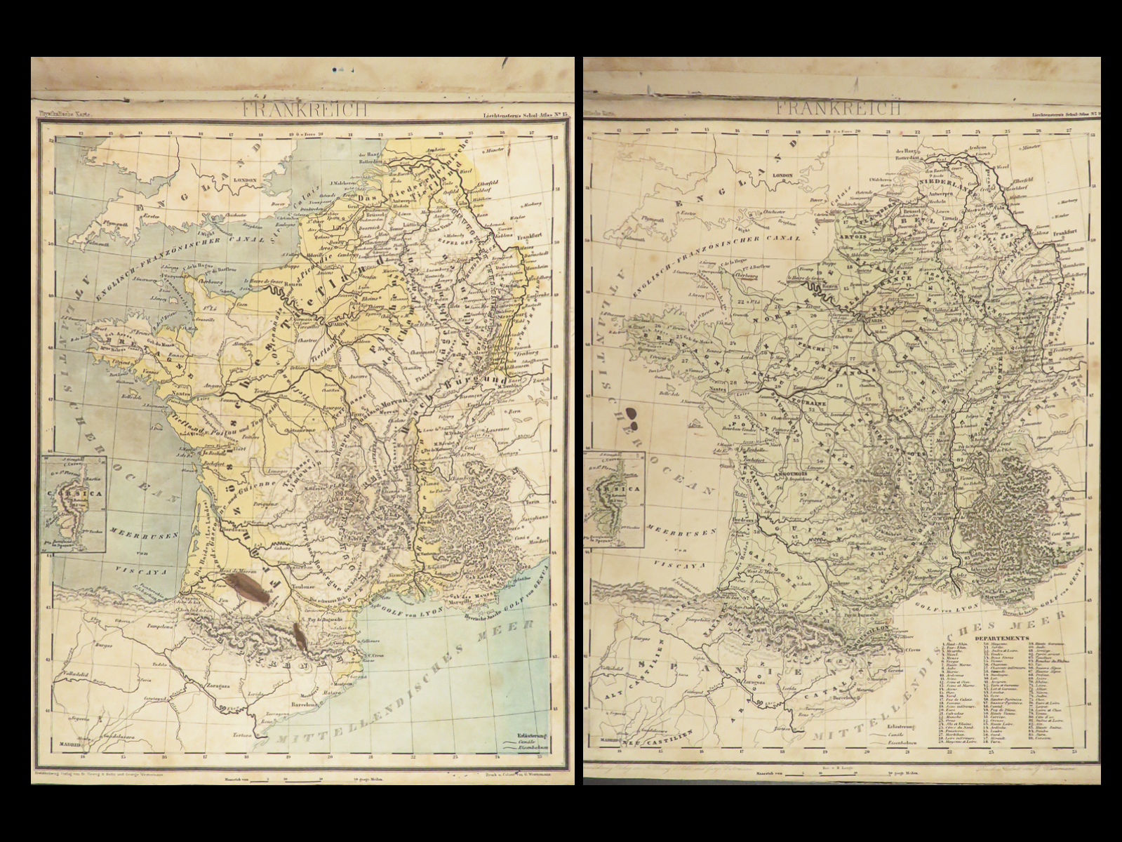
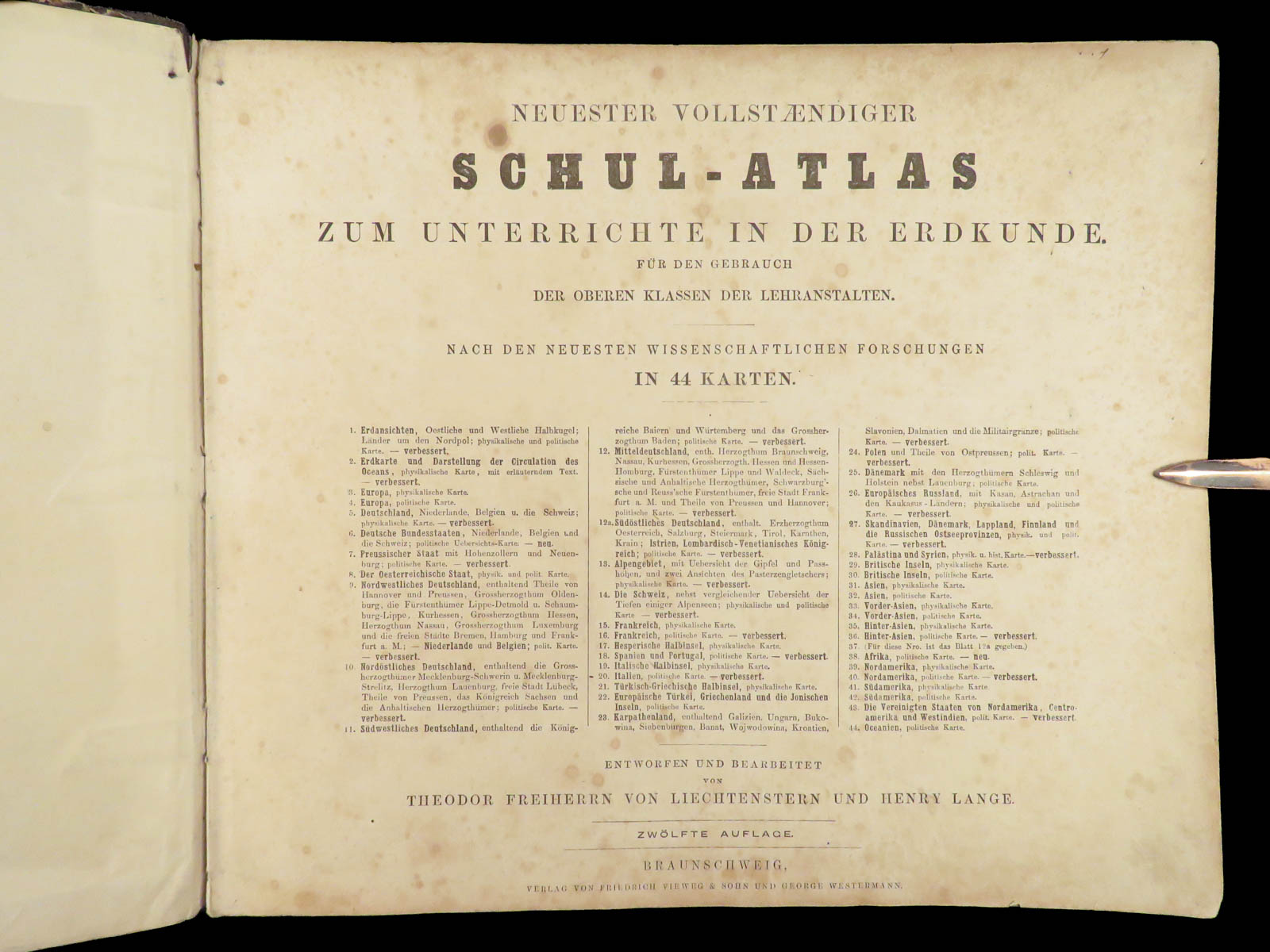
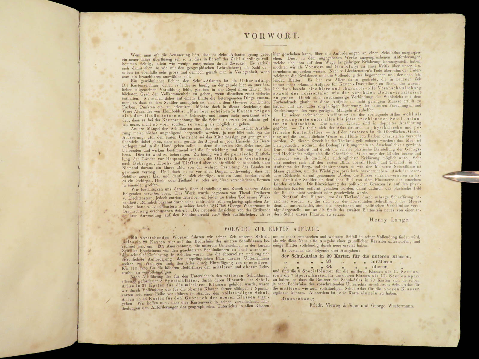
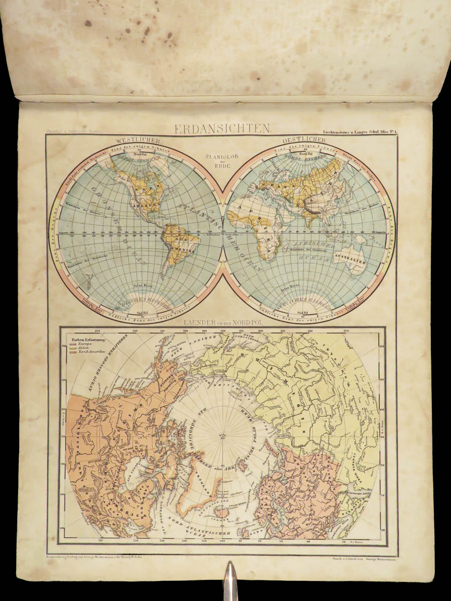
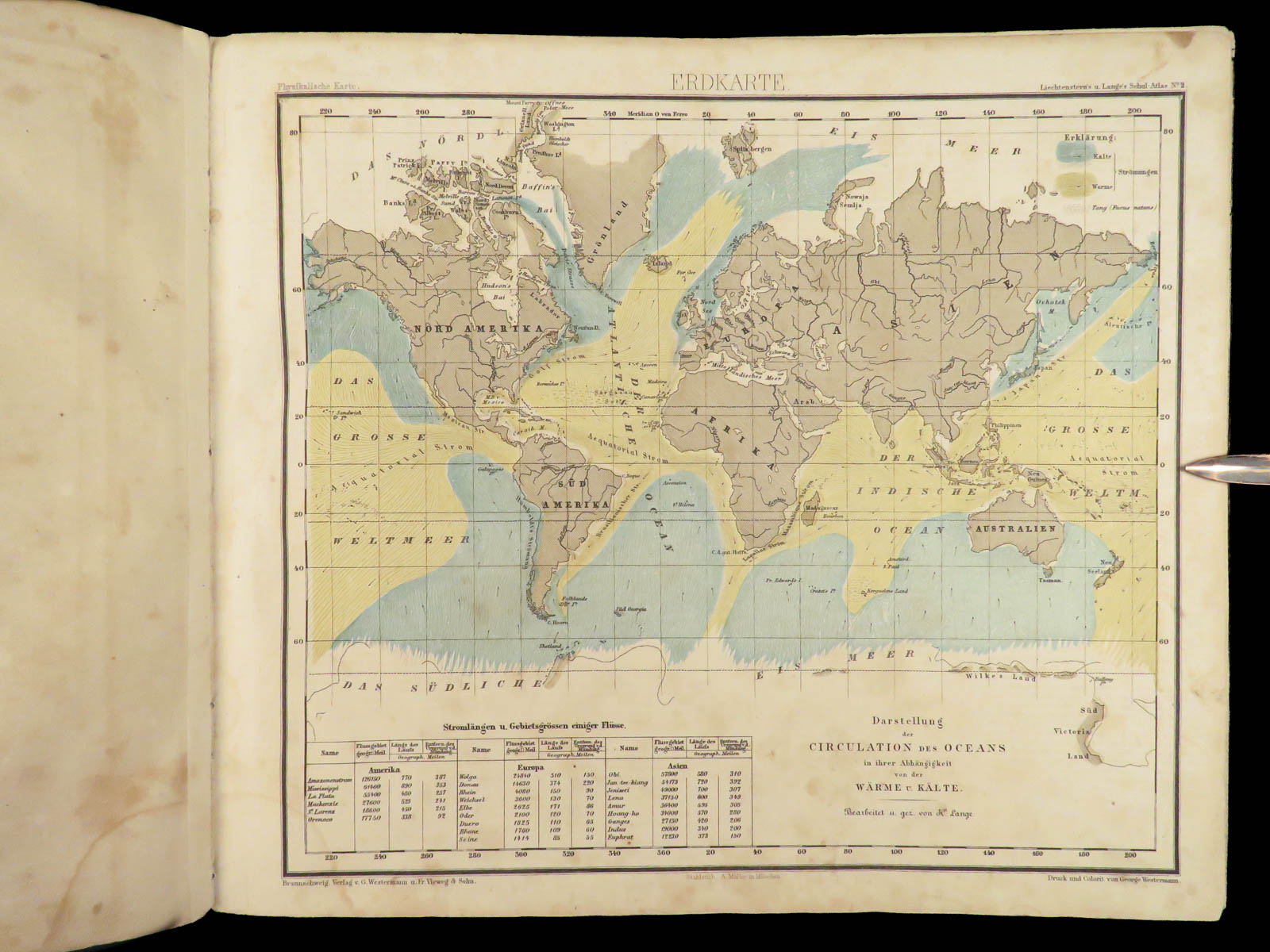
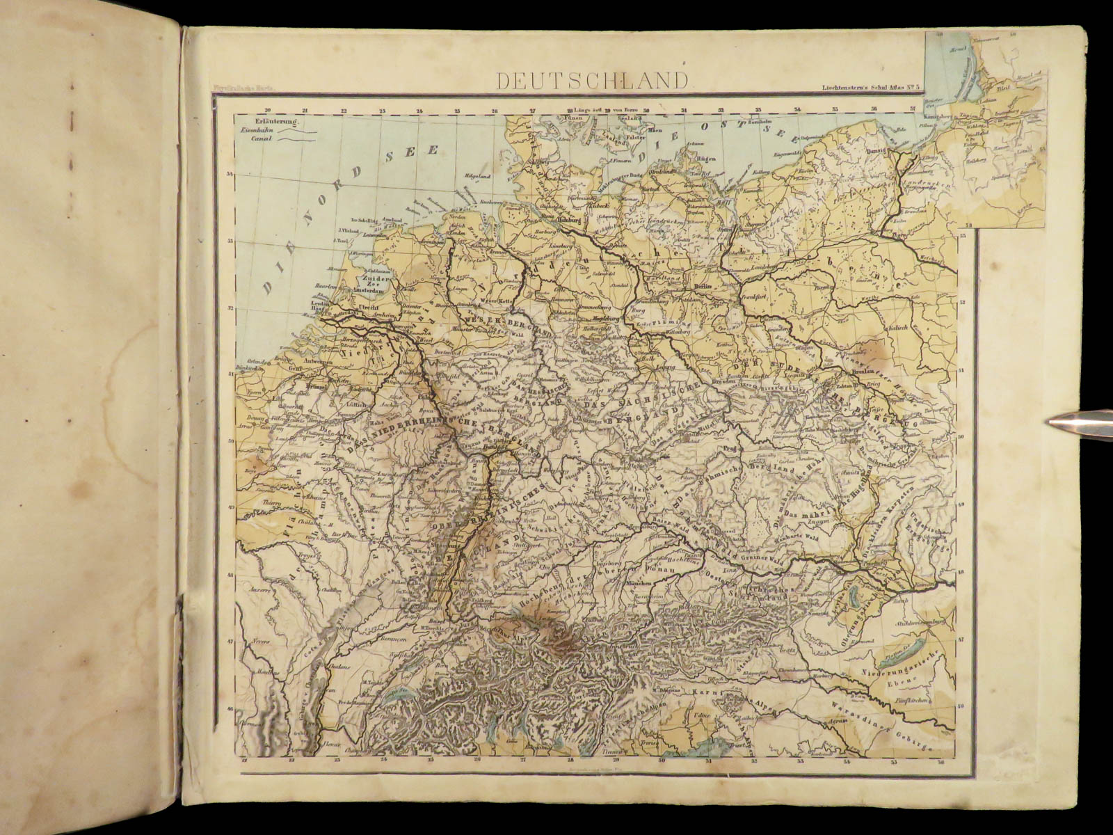
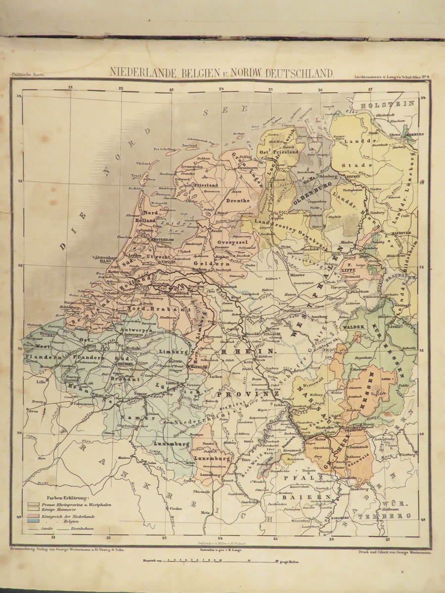
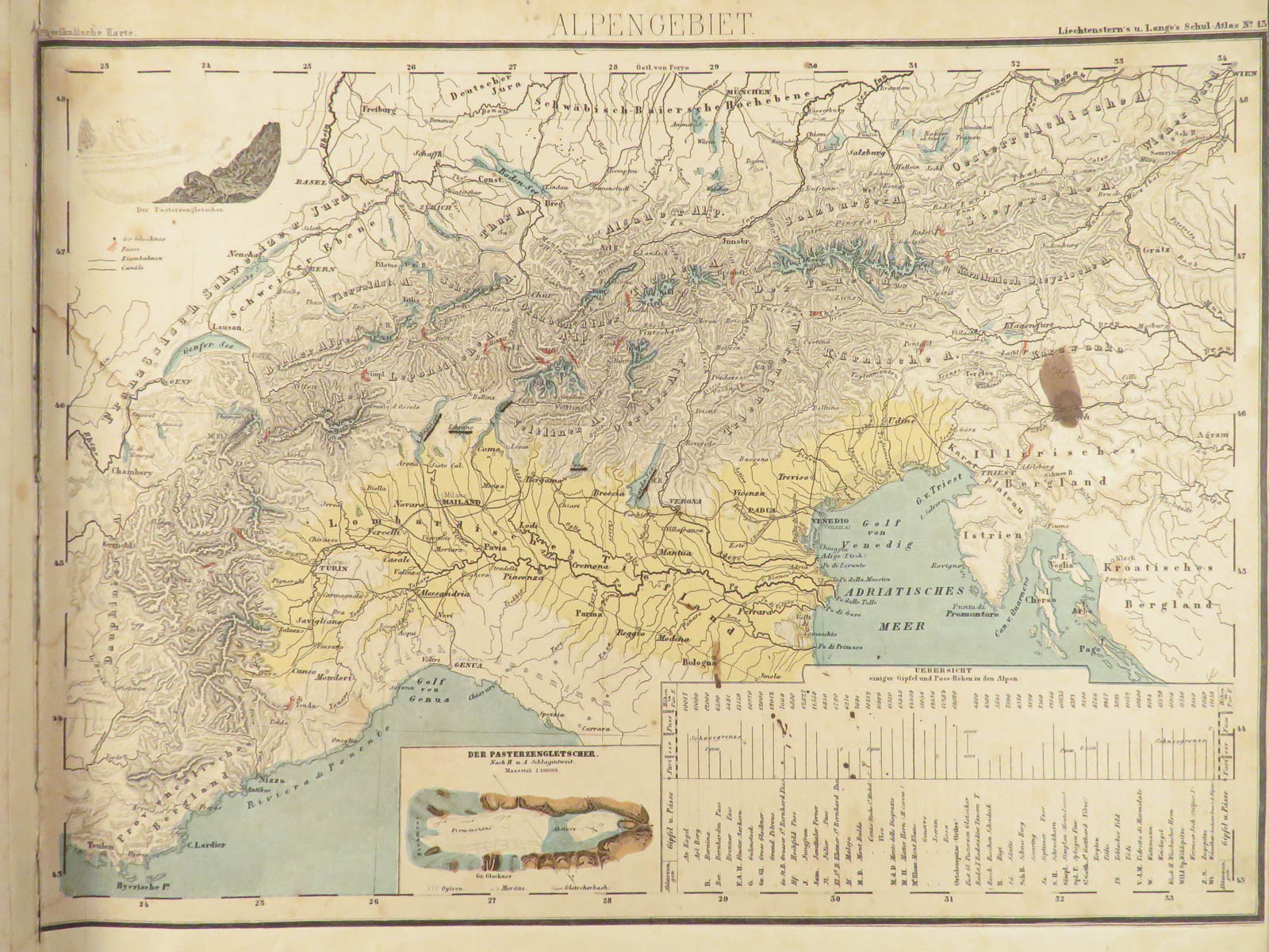
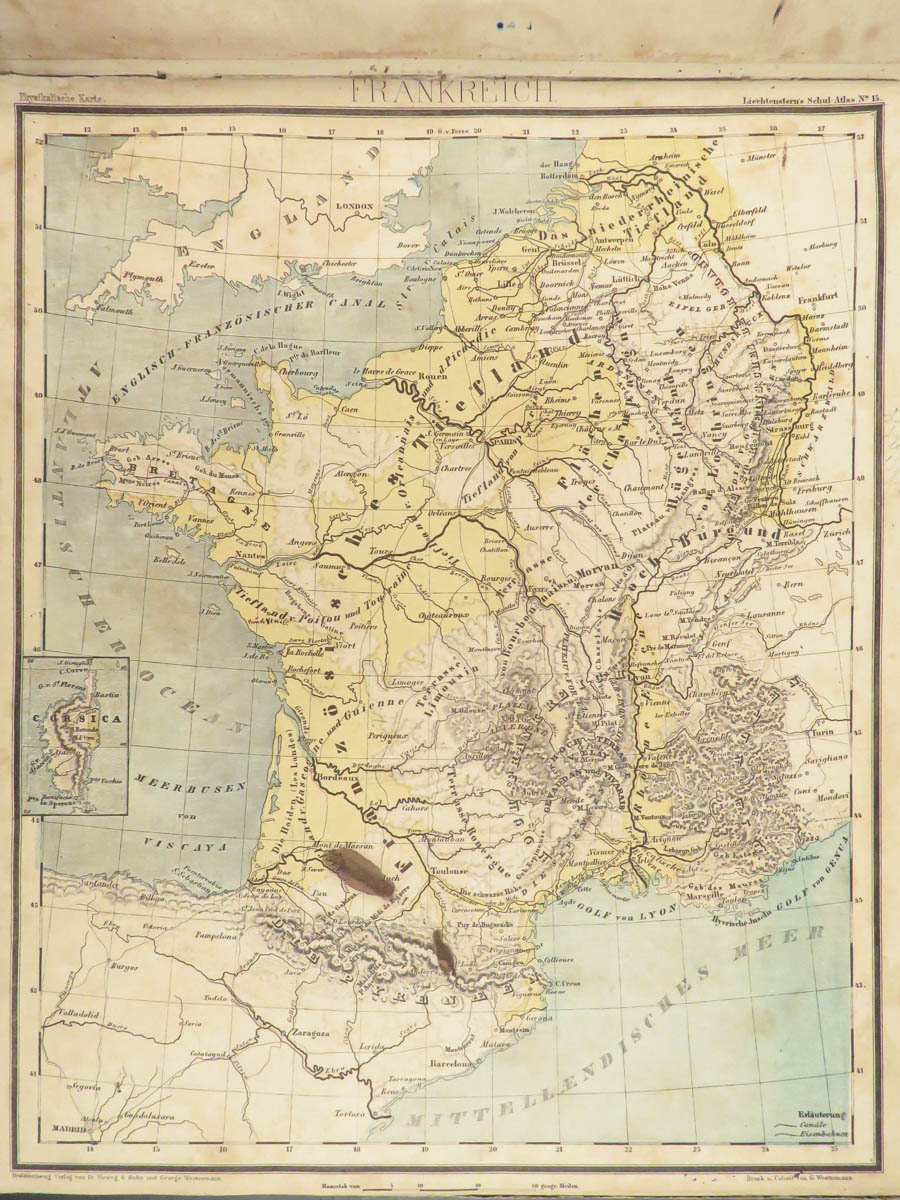
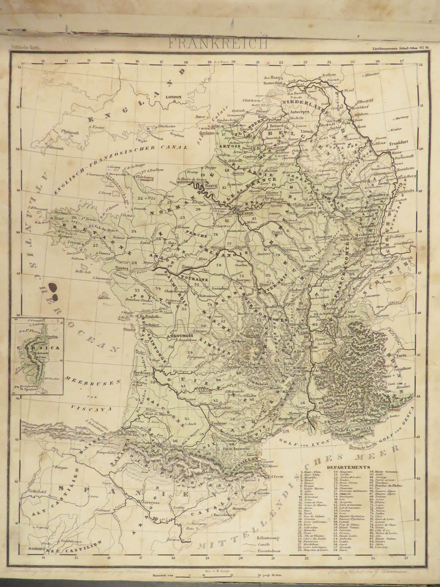
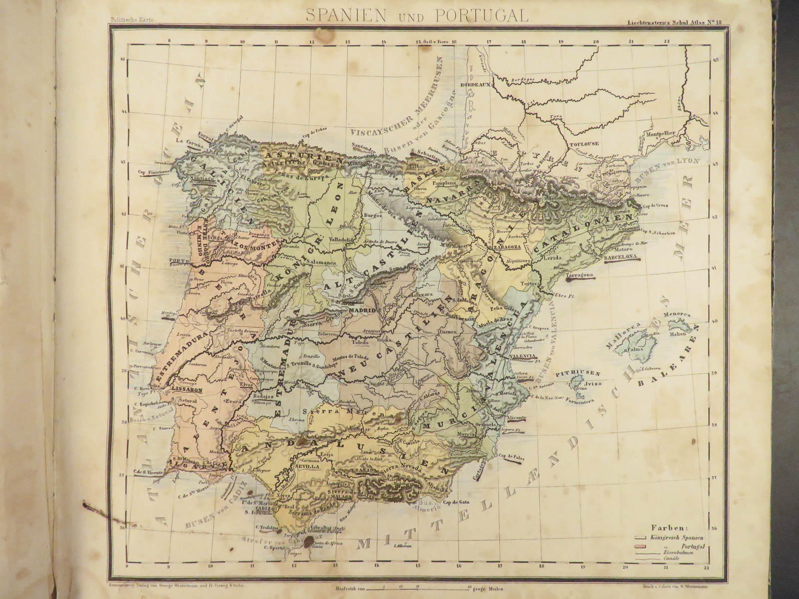
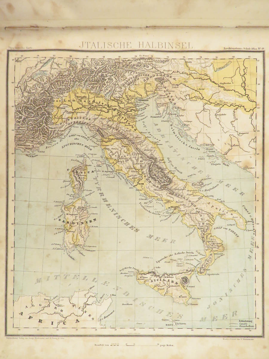
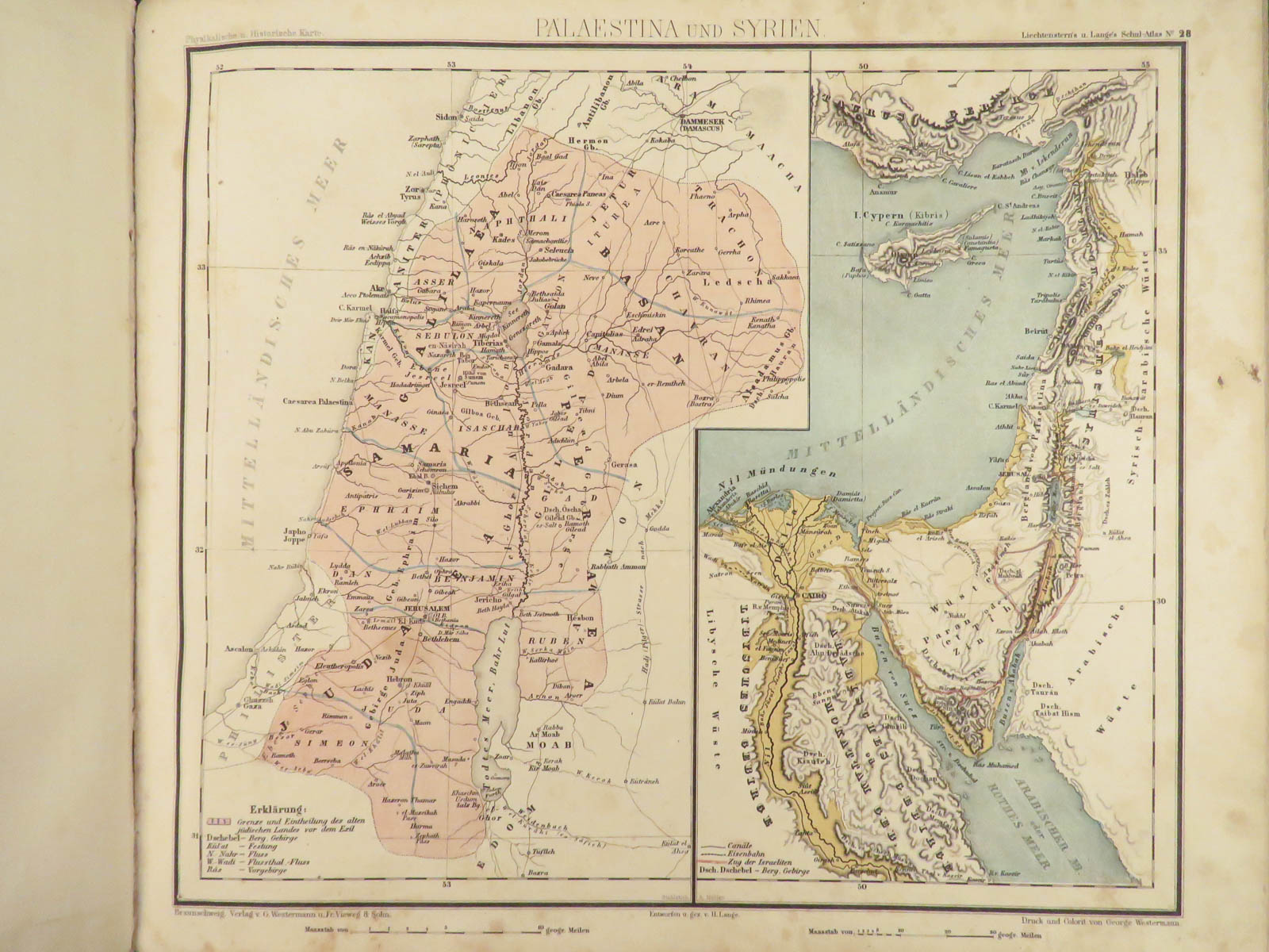
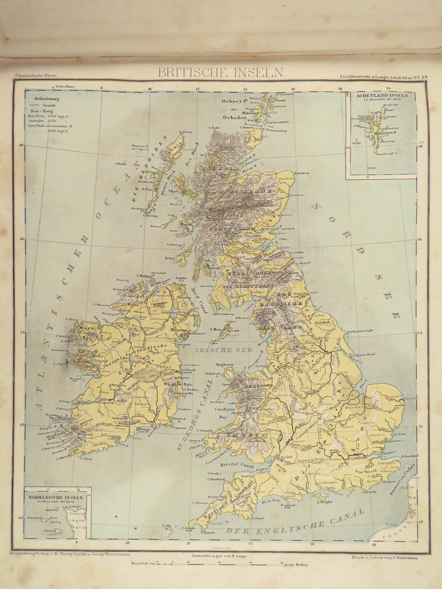
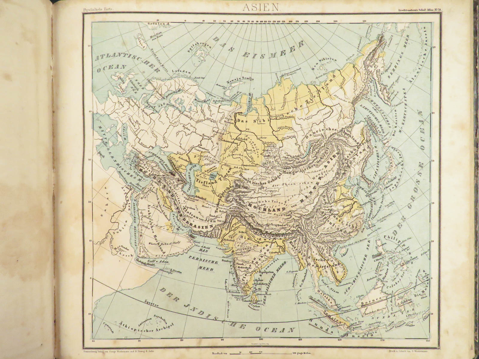
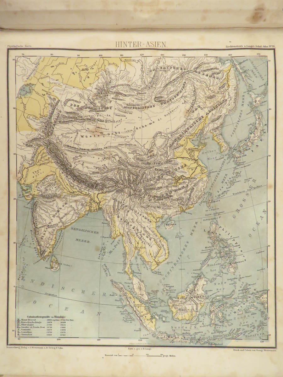
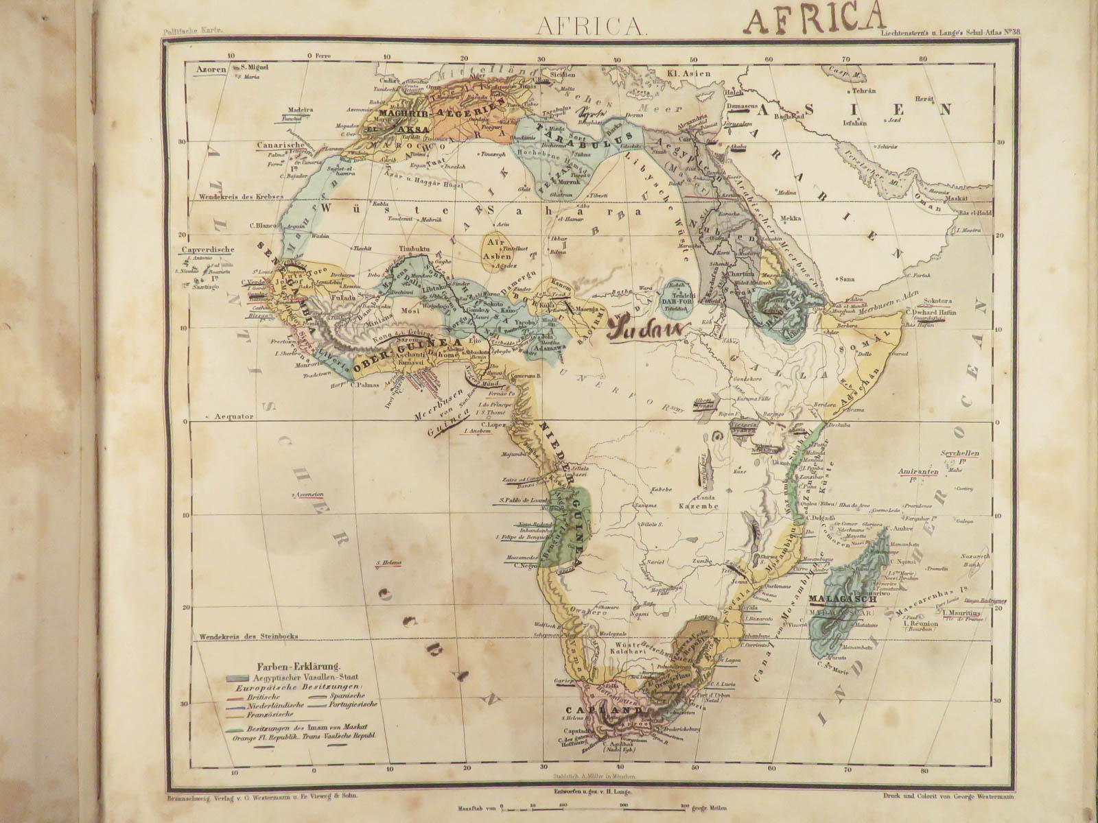
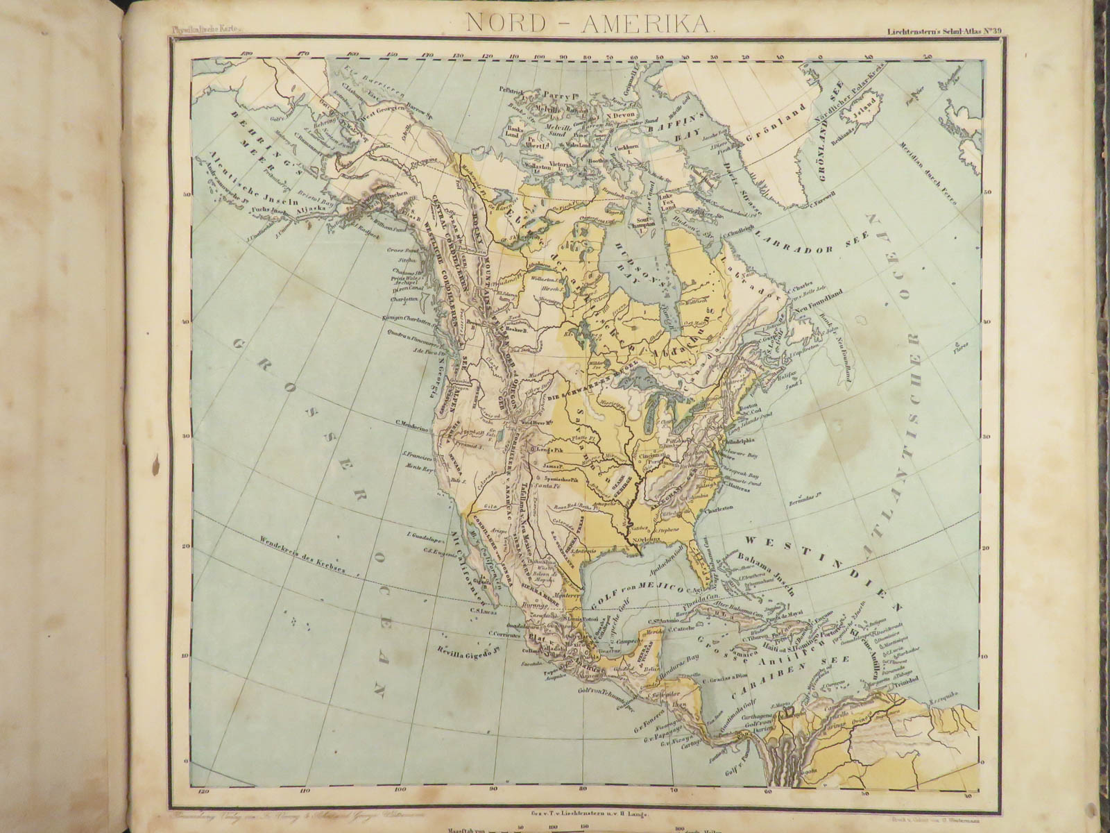
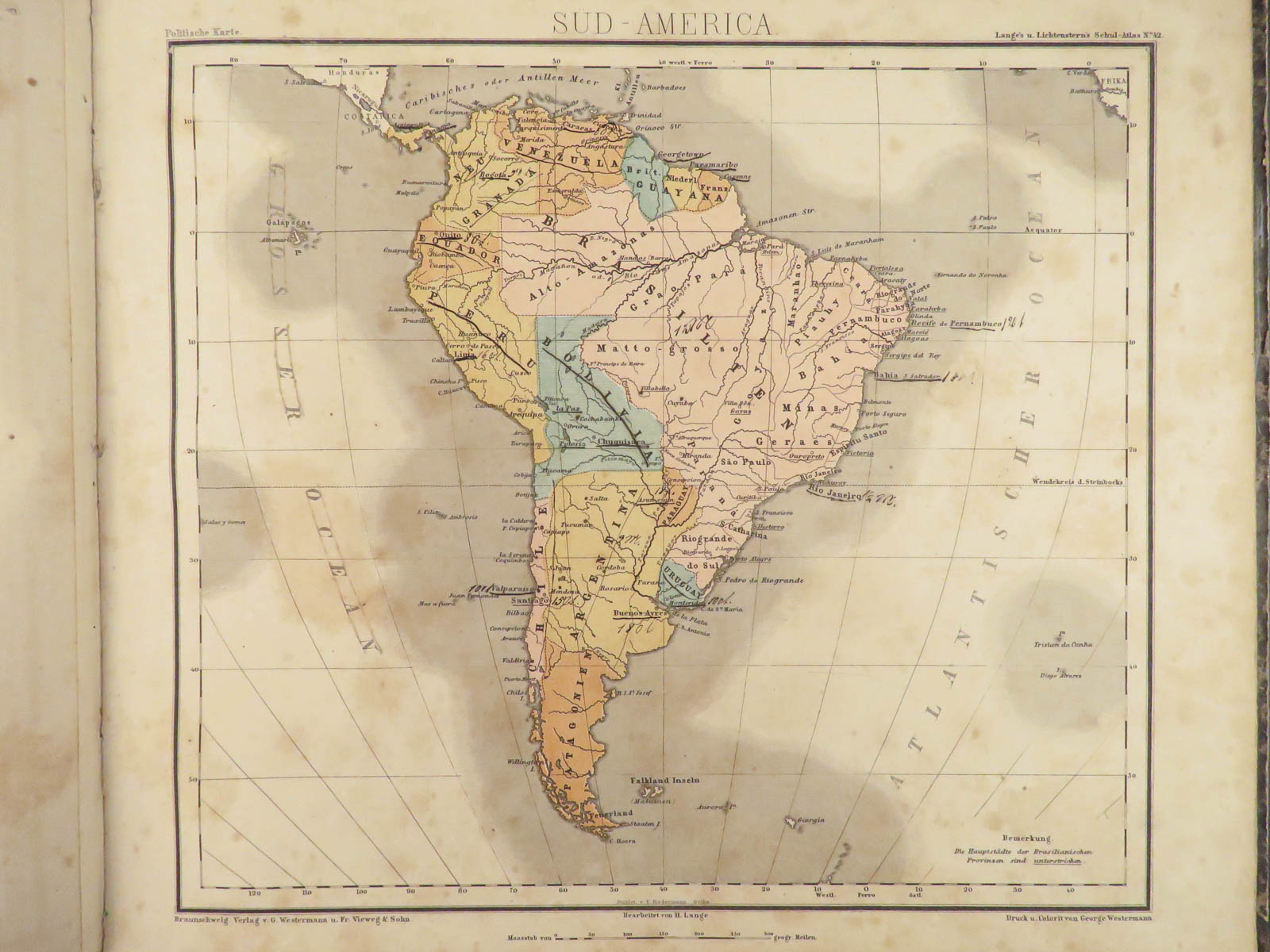
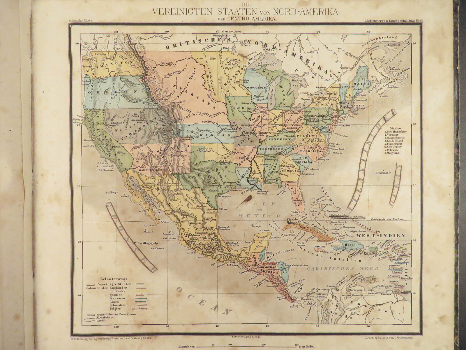
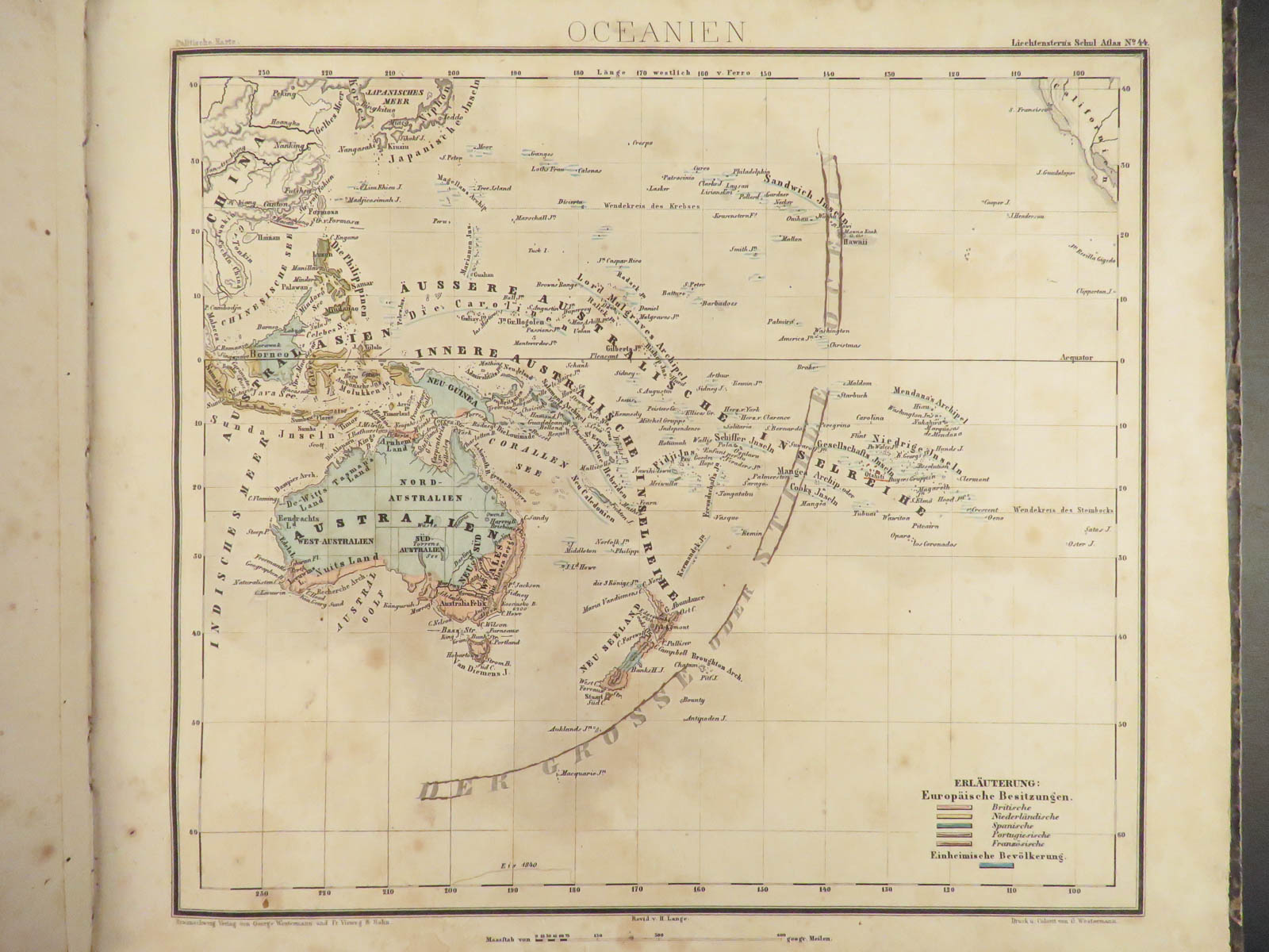
Henry Lange was a 19th-century German cartographer known for his highly desirable portfolio of maps. Alongside Theodor von Liechtenstern, Lange published an important school atlas designed to aid in geography lessons of school-aged learners. ‘Schul-Atlas’ as it is known in German, was a collection of 44 colored maps showing countries, continents, and regions from all over the world.


1871 German ATLAS Lange 44 MAPS America Asia Germany Africa Europe
Henry Lange was a 19th-century German cartographer known for his highly desirable portfolio of maps. Alongside Theodor von Liechtenstern, Lange published an important school atlas designed to aid in geography lessons of school-aged learners. ‘Schul-Atlas’ as it is known in German, was a collection of 44 colored maps showing countries, continents, and regions from all over the world.
Item number: #23723
Price: $599
LANGE, Henry
Th. von Liechtenstern’s und Henry Lange’s Schul-Atlas zum Unterricht in der Erdkunde : für den Gebrauch der oberen Klassen der Lehranstalten
Braunschweig : Westermann, 1871.
Details:
- Collation: Complete with all pages
- 44 colored maps
- Provenance: Handwritten – Rieth
- Language: German
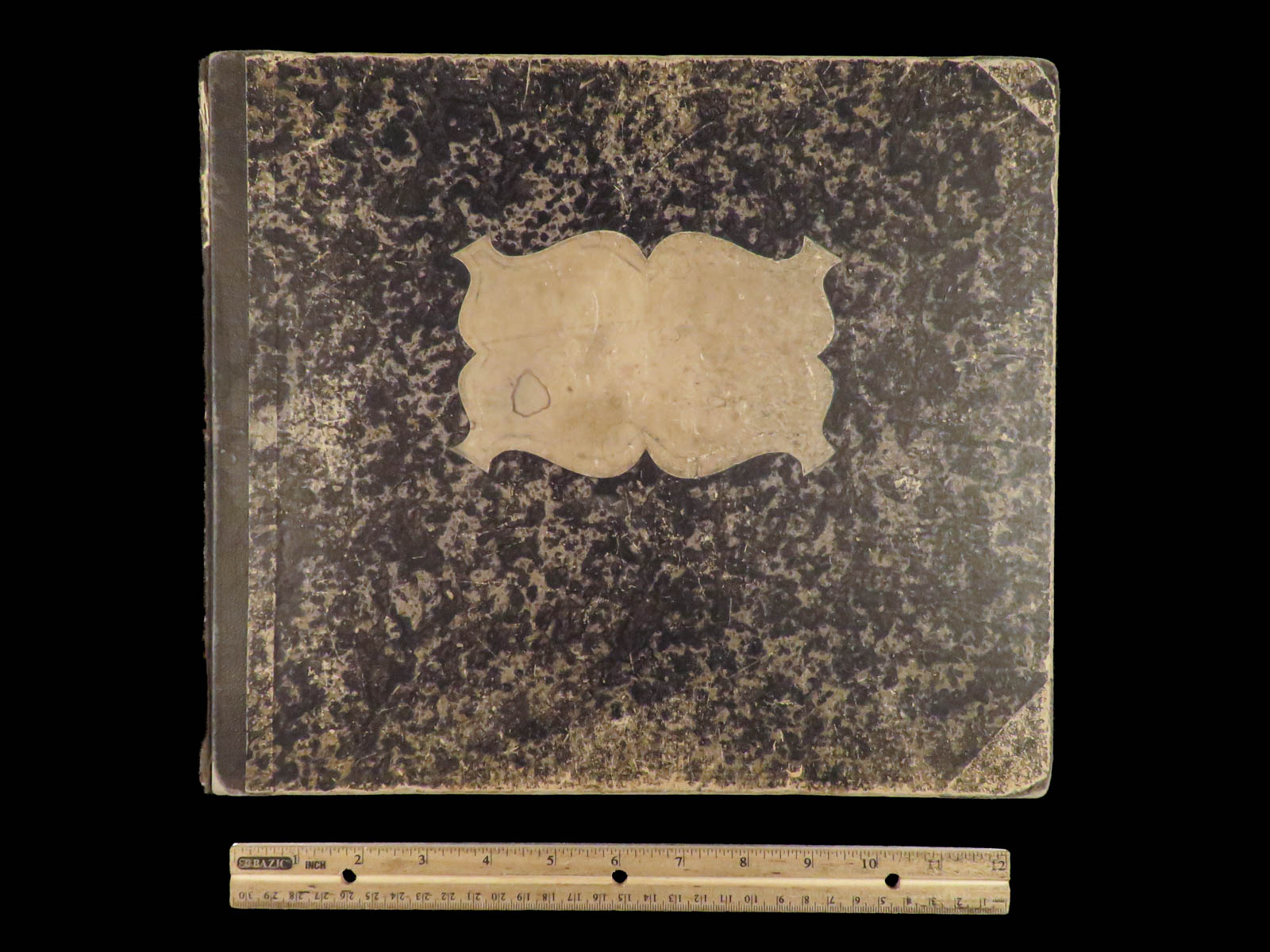
- Binding: Hardcover; tight and secure
- Size: ~11in X 12.75in (28cm x 32.5cm)
Our Guarantee:
Very Fast. Very Safe. Free Shipping Worldwide.
Customer satisfaction is our priority! Notify us with 7 days of receiving, and we will offer a full refund without reservation!
23723
Category
Voyages & Exploration & Maps
Authors
LANGE, Henry
Printing Date
19th Century
Language
German
Binding
Hardcover
Book Condition
Excellent
Collation
Complete
Other Books you might like...
-
Sale!
 Add to cart
1661 Topographiae Galliae French Geography Illustrated MAPS Zeiler Merian France
Original price was: $750.00.$550.00Current price is: $550.00. -
Sale!
 Add to cart
1633 1st ed PERSIA Middle East Costumes IRAN ELZEVIR Dutch West India Company
Original price was: $950.00.$750.00Current price is: $750.00. -
Sale!
 Add to cart
1775 1ed North Pole Voyage Arctic Exploration Illustrated John Phipps Polar Maps
Original price was: $1,500.00.$1,250.00Current price is: $1,250.00. -
Sale!
 Add to cart
1856 1ed HUGE MAP Colton’s Traveler Guide Book Illustrated Americana California
Original price was: $750.00.$650.00Current price is: $650.00.