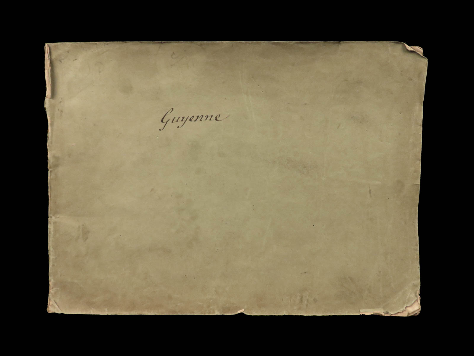
1640 ATLAS Nicolas Tassin MAPS Guyenne France French Geography Bayonne Cahors

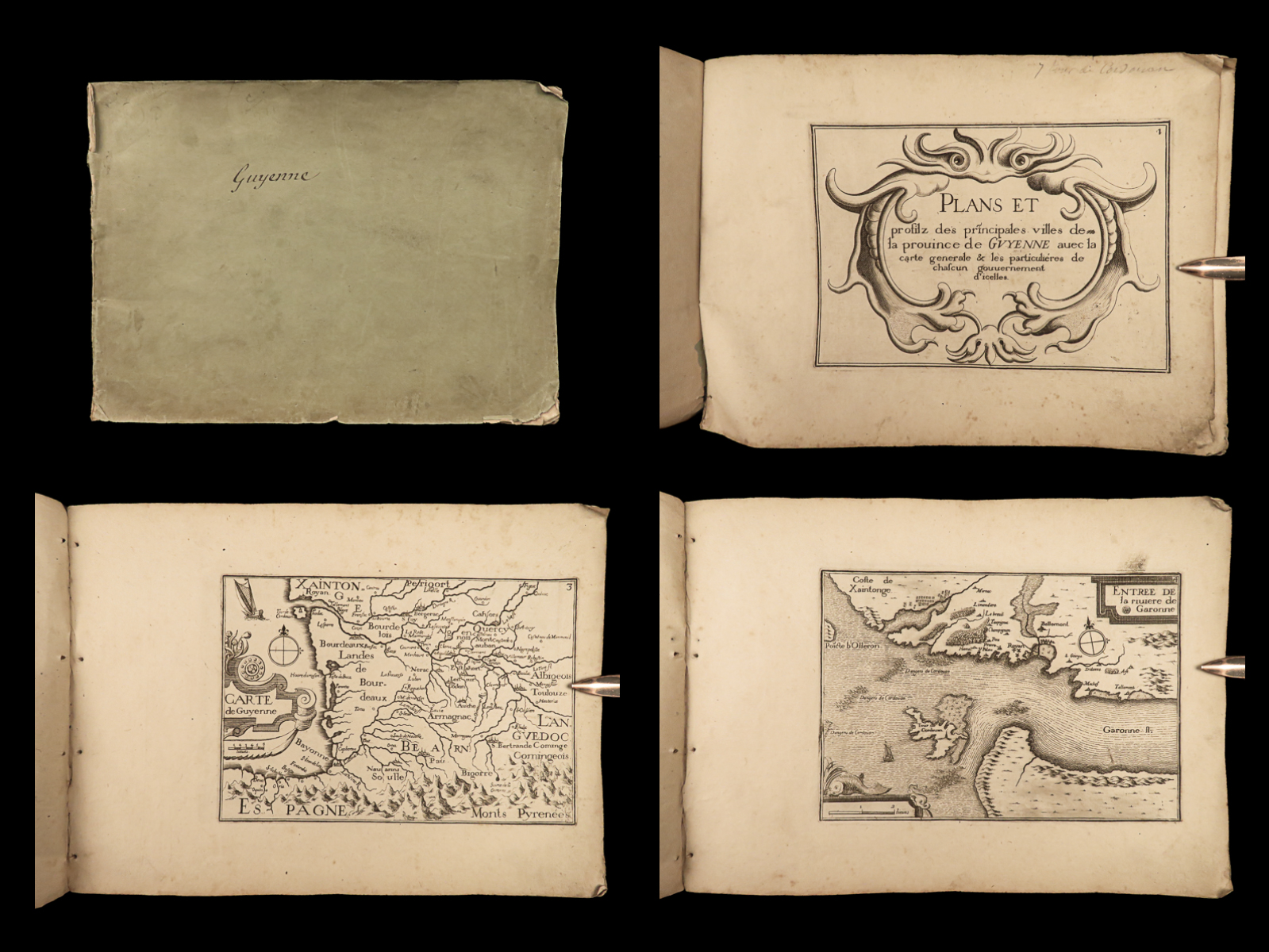
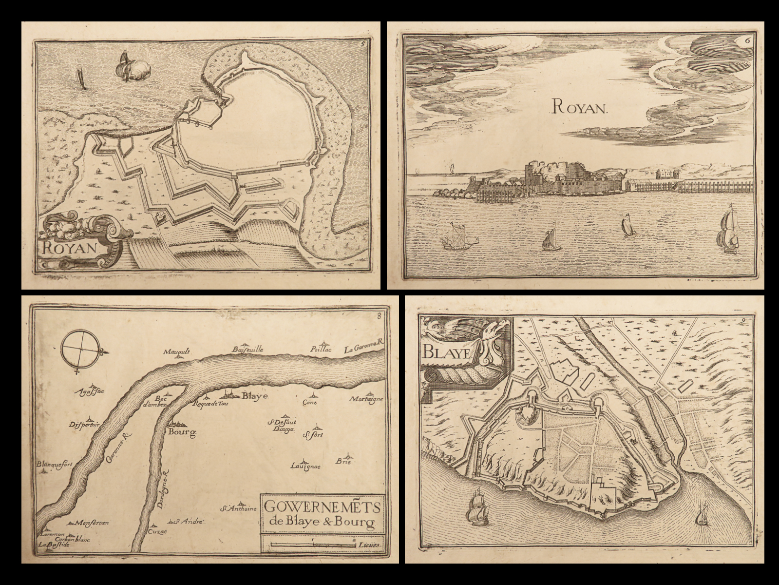
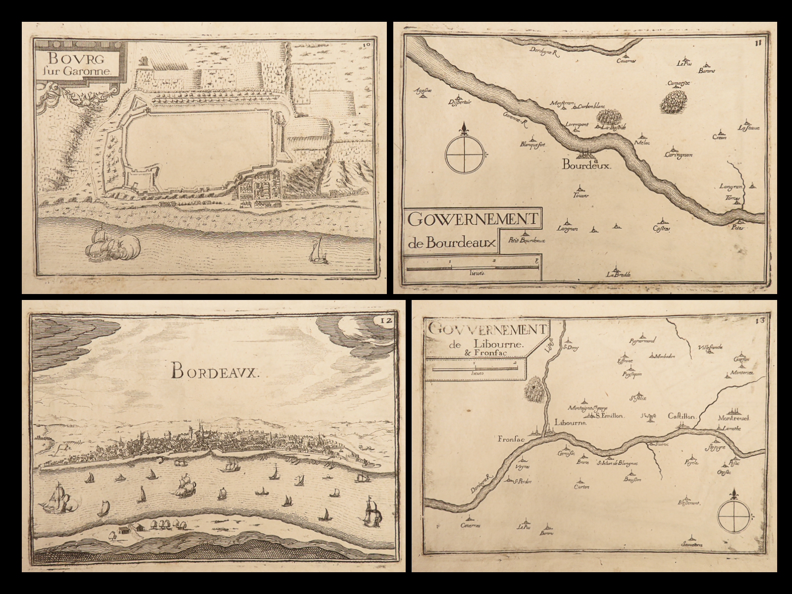
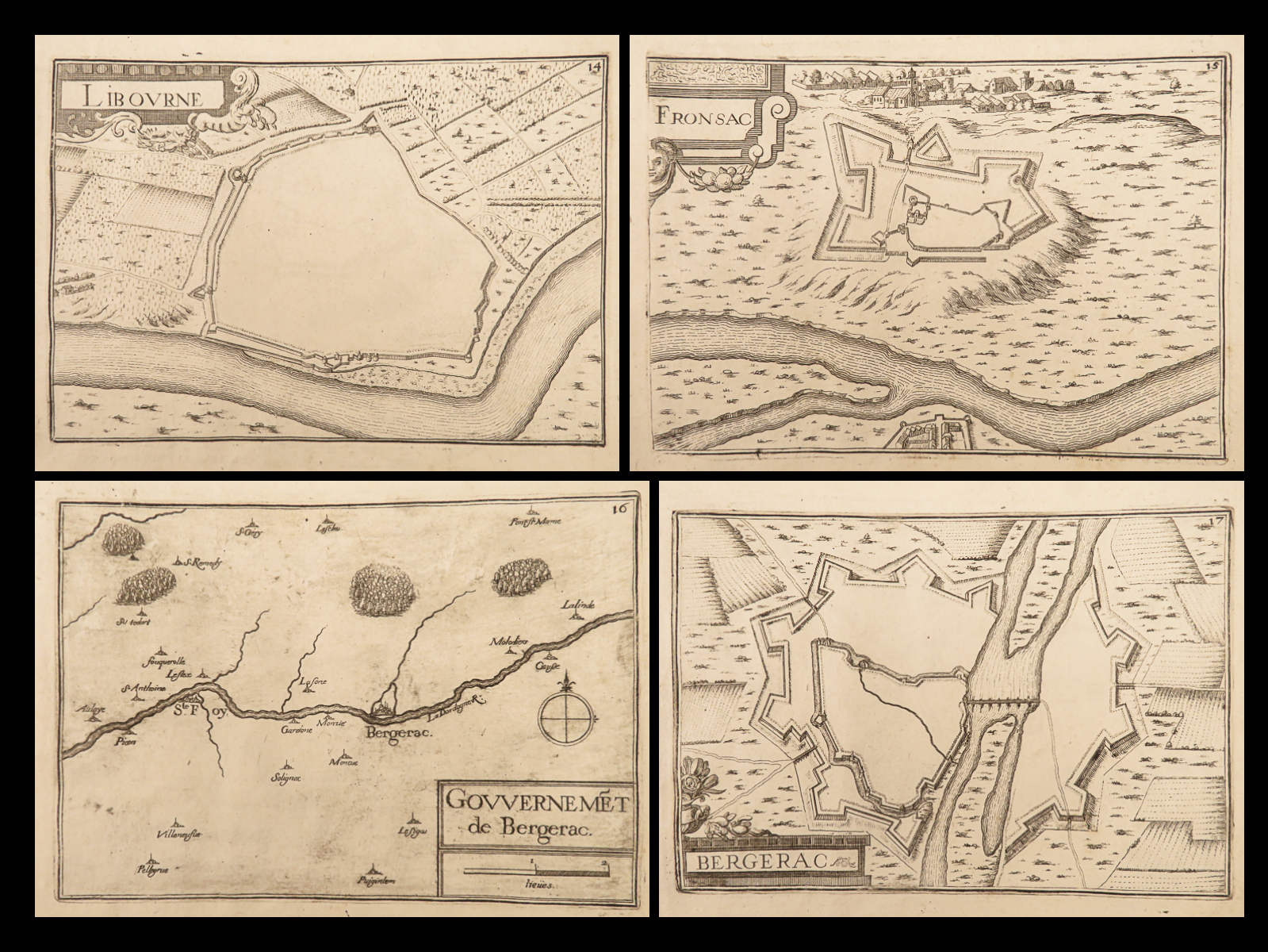
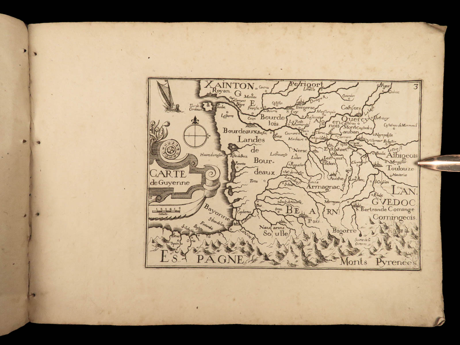
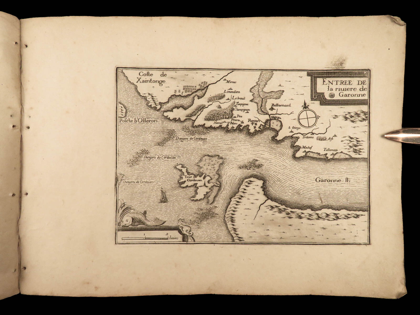
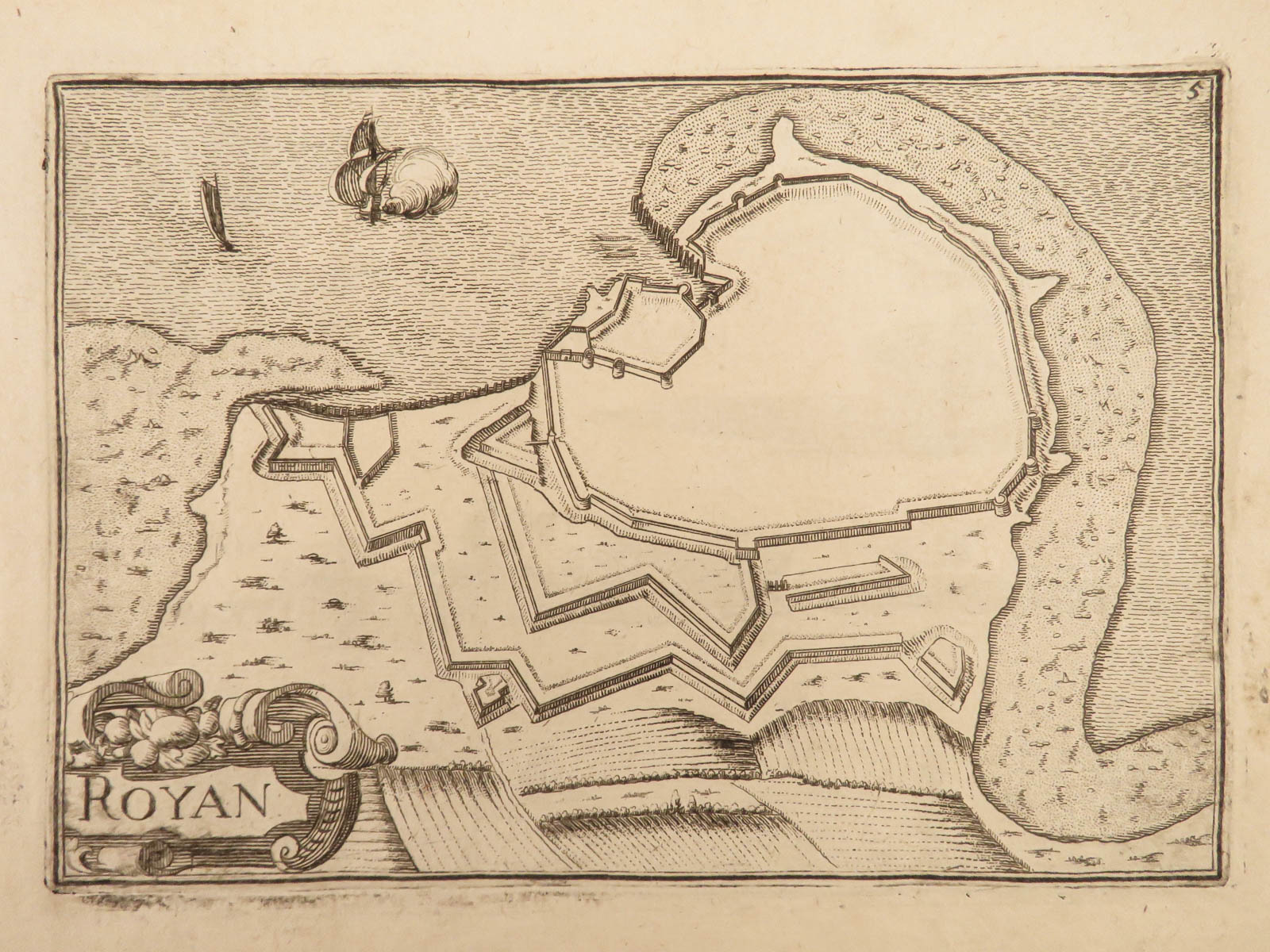
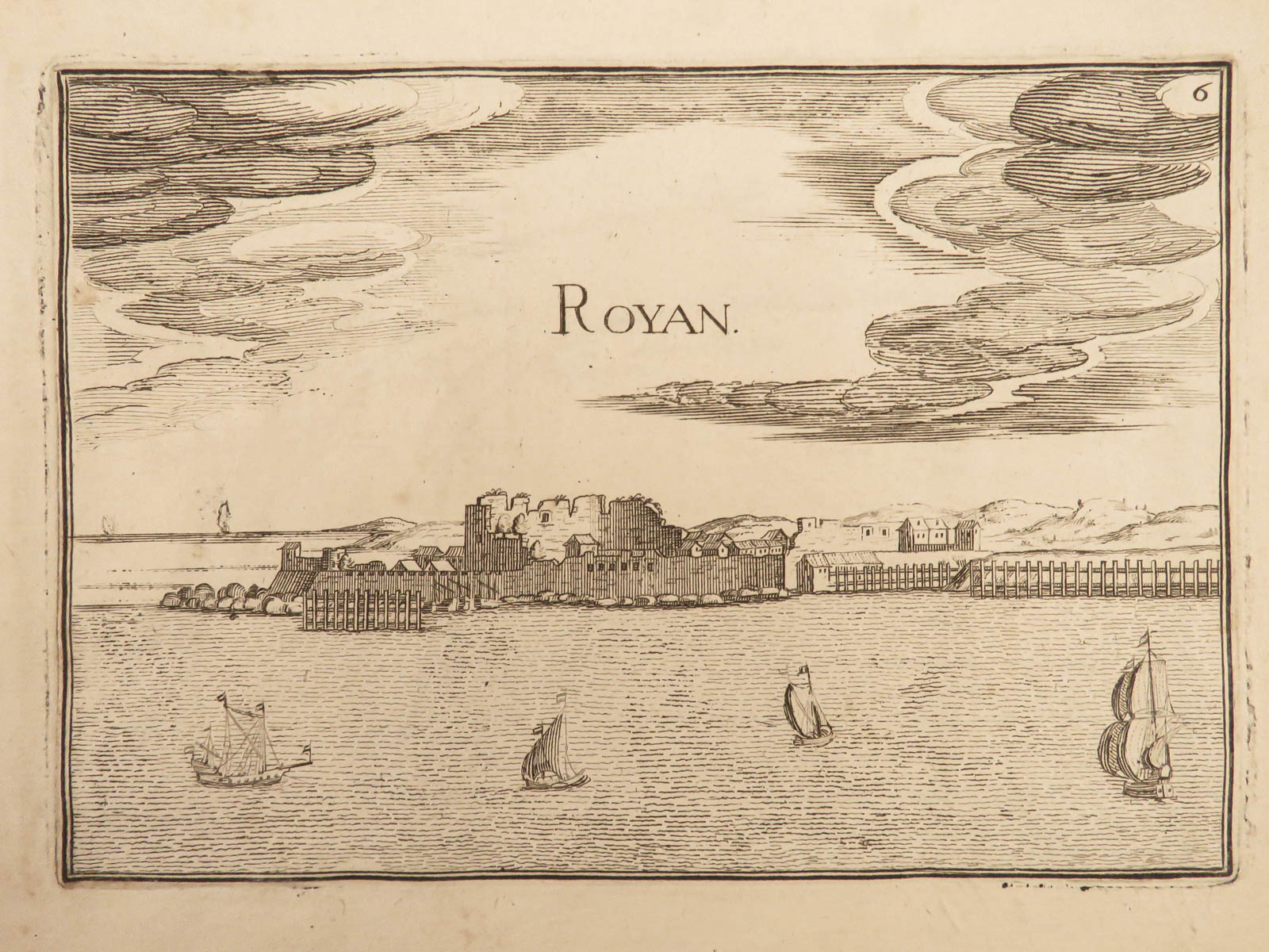
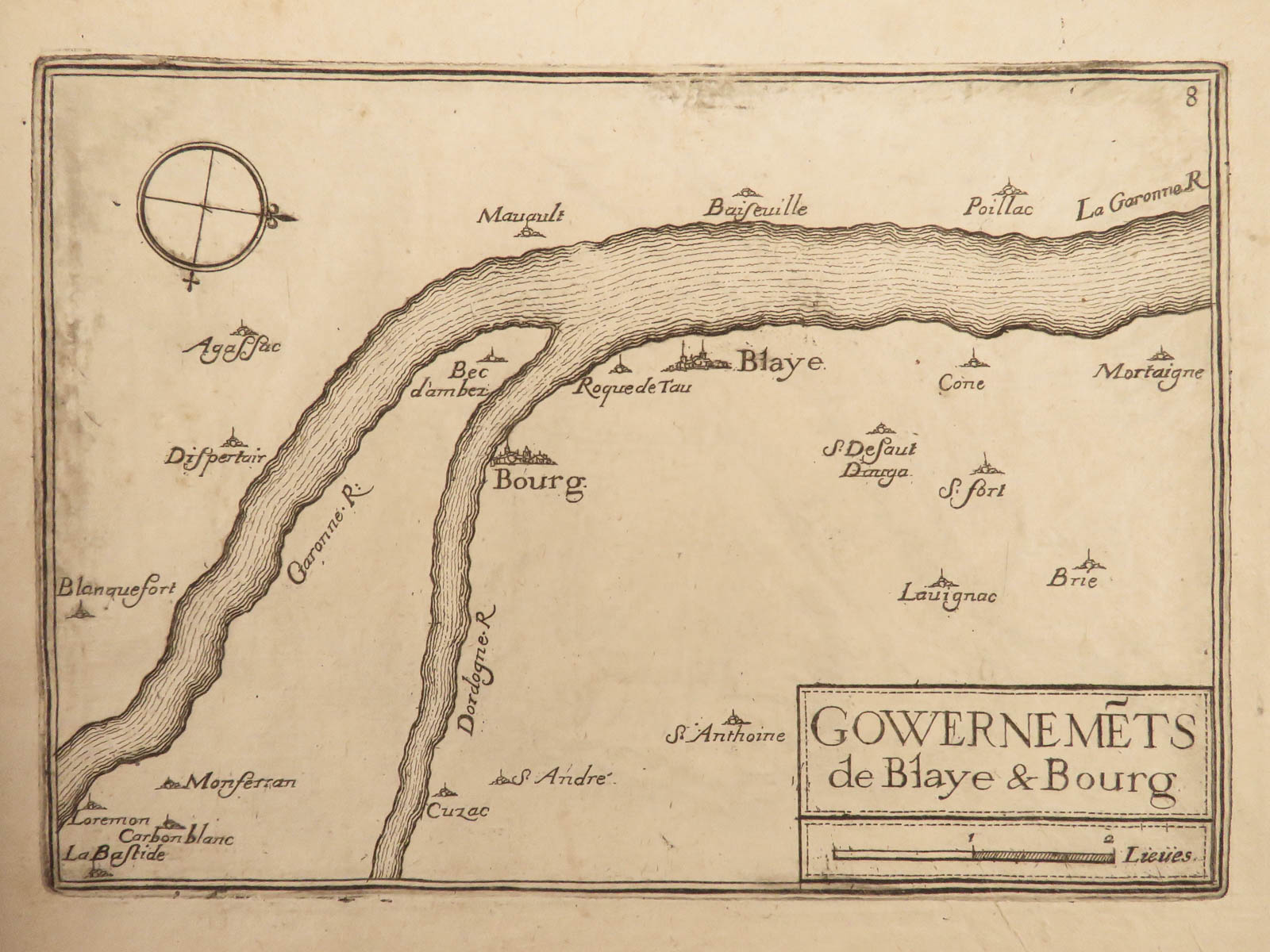
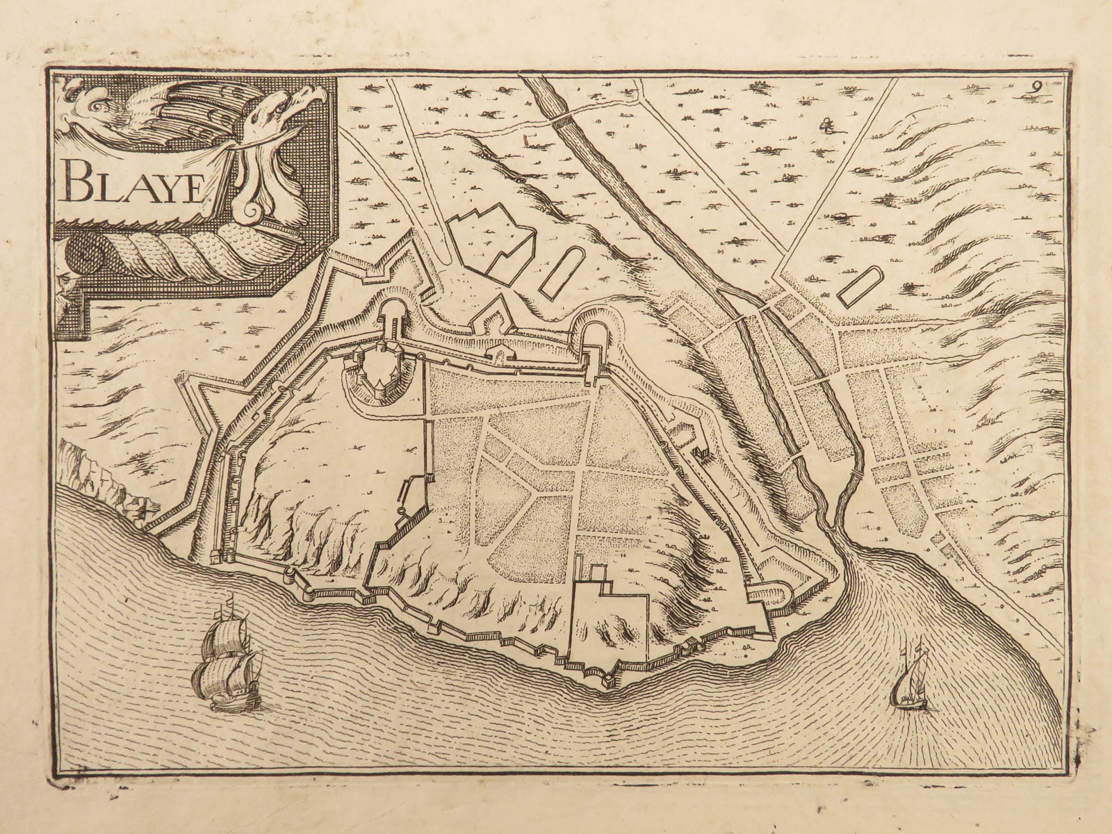
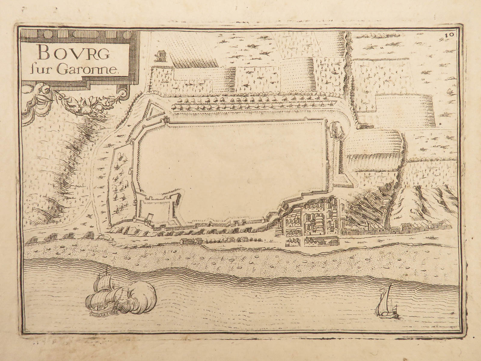
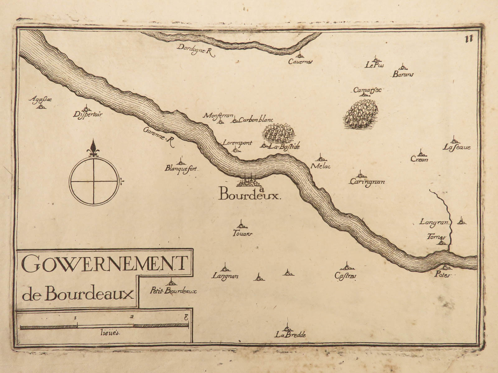
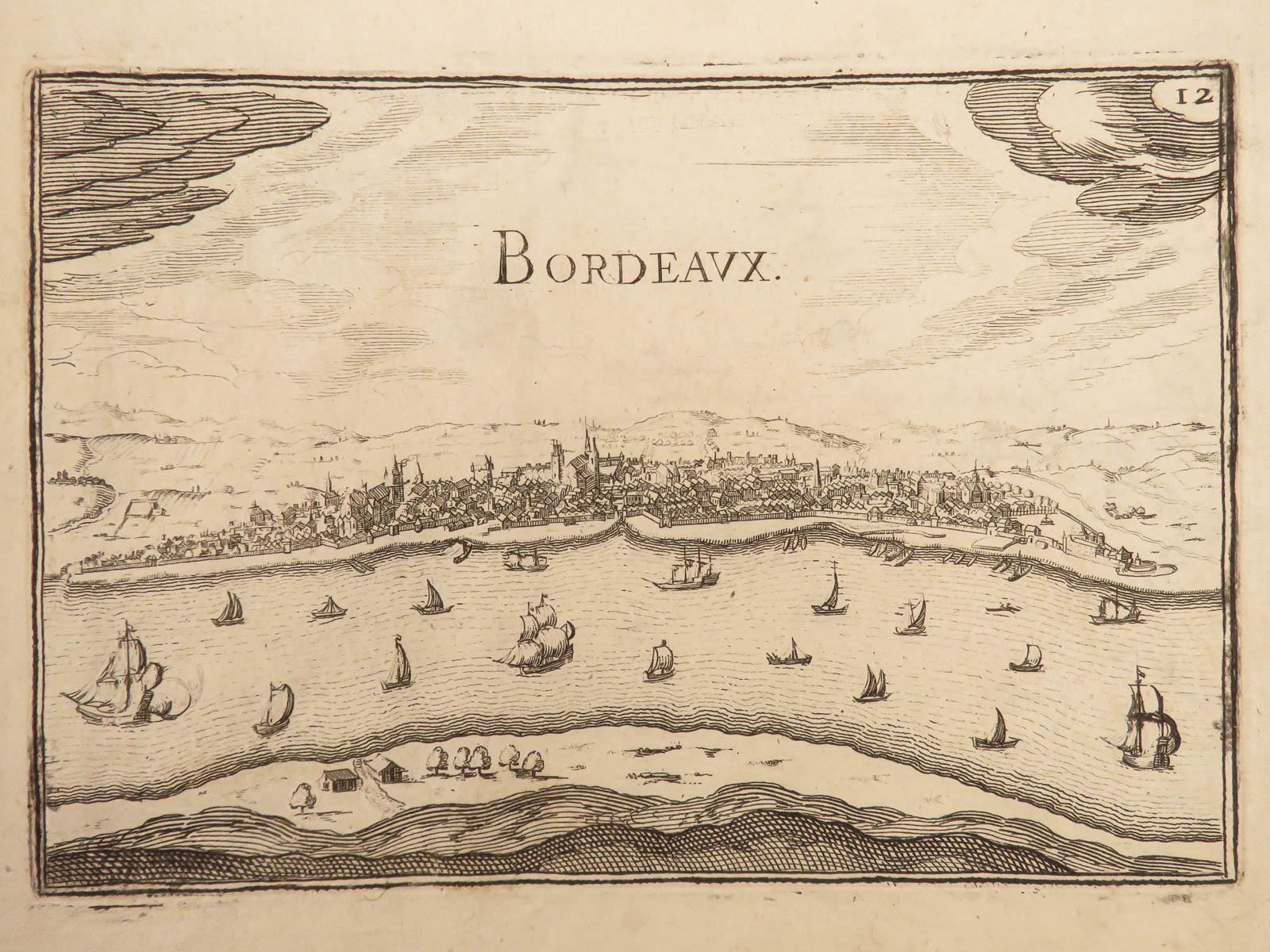
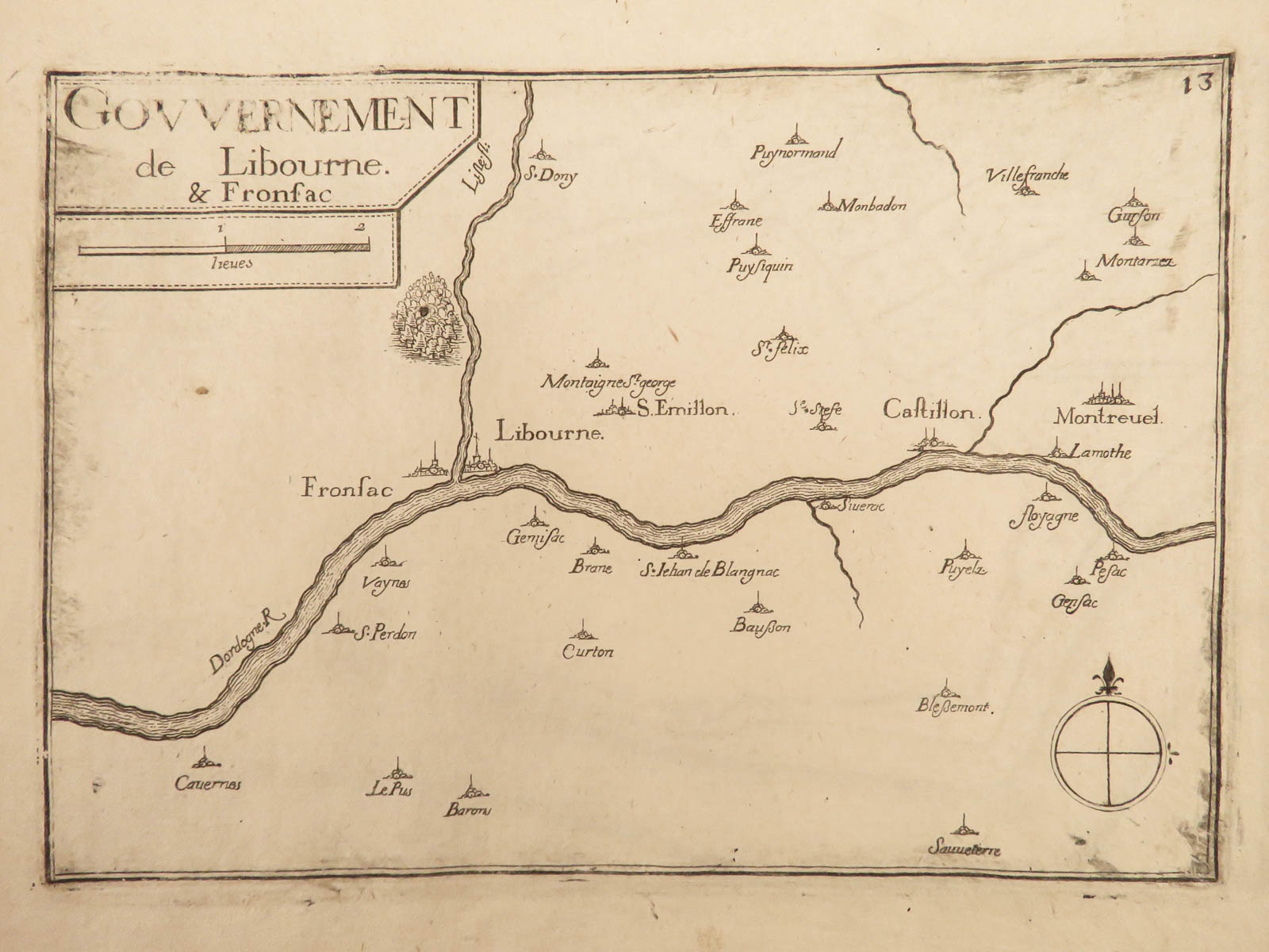
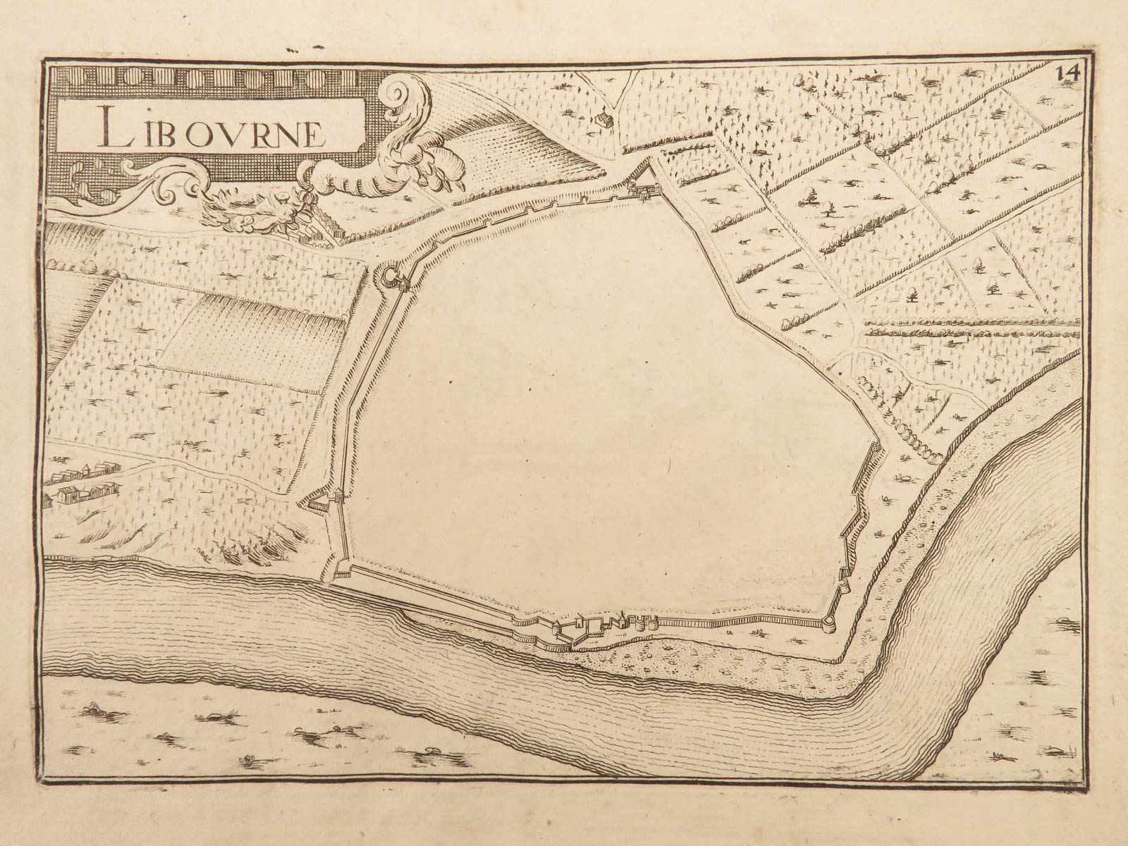
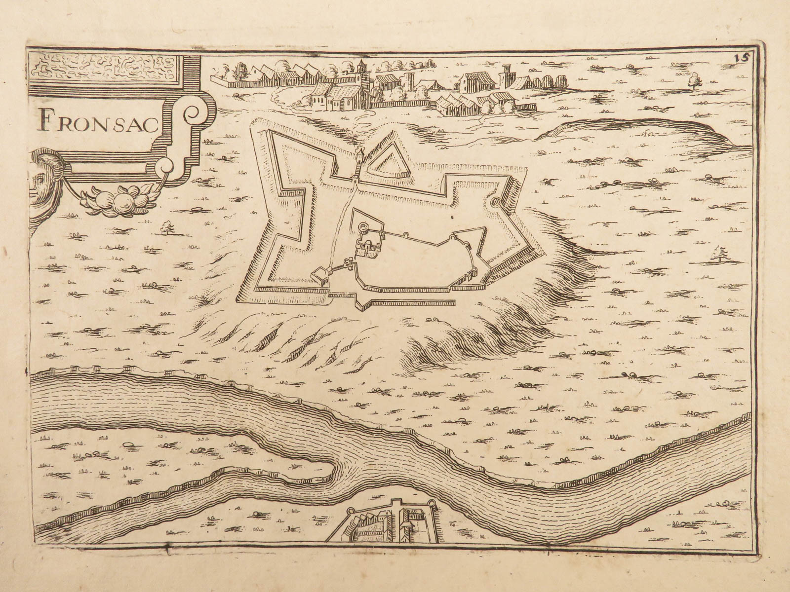
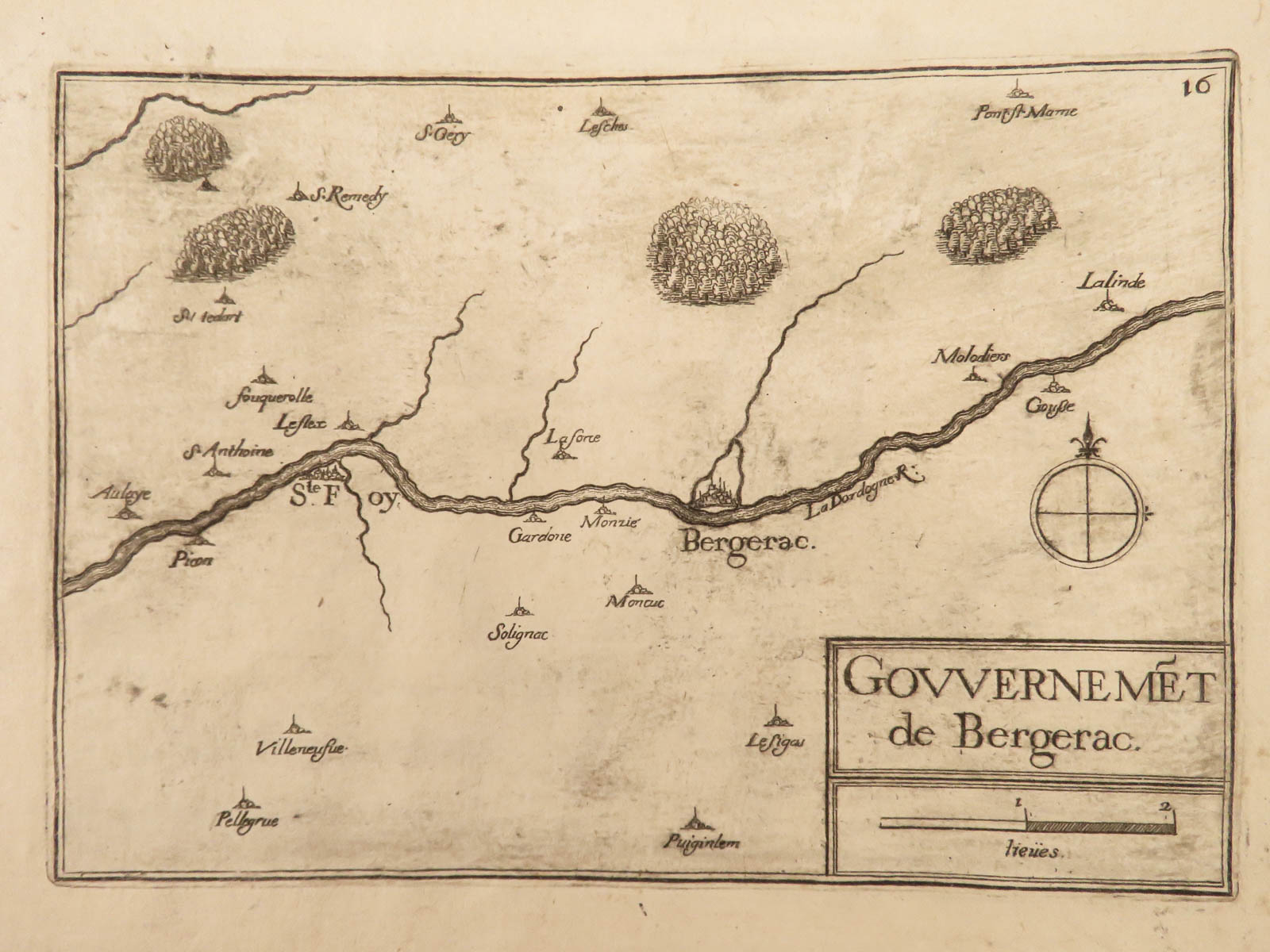
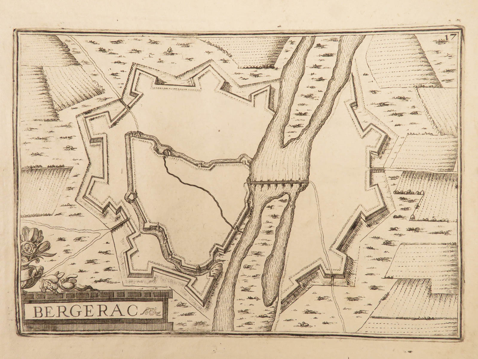
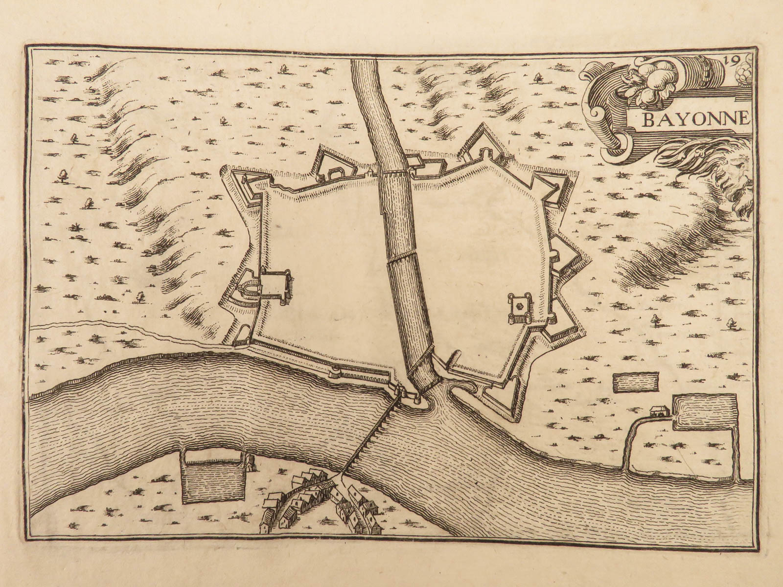
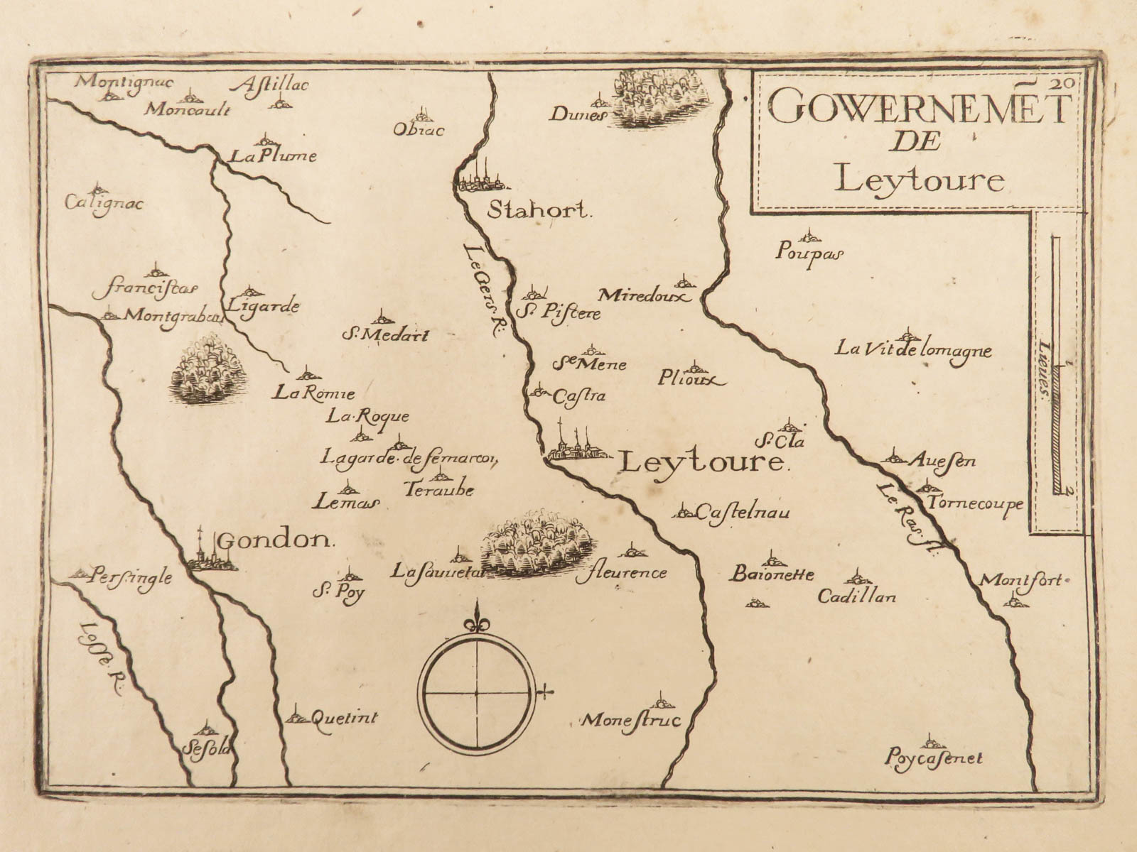
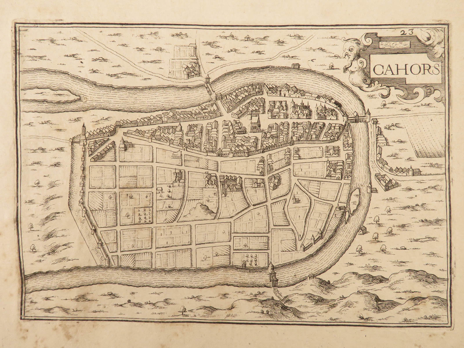
Nicolas Tassin was a mid-17th-century French cartographer whose maps were some of the most thorough and accurate of the time. This collection of Tassin maps includes his maps and engravings of cities, towns, and villages, in Guyenne, France. Notable maps include: Bayonne, Bergerac, Blaye, Bourdeaux, Bourg, Cahors, Fronsac, Libourne, and Royan.


1640 ATLAS Nicolas Tassin MAPS Guyenne France French Geography Bayonne Cahors
Nicolas Tassin was a mid-17th-century French cartographer whose maps were some of the most thorough and accurate of the time. This collection of Tassin maps includes his maps and engravings of cities, towns, and villages, in Guyenne, France. Notable maps include: Bayonne, Bergerac, Blaye, Bourdeaux, Bourg, Cahors, Fronsac, Libourne, and Royan.
Item number: #24791
Price: $950
TASSIN, Nicolas
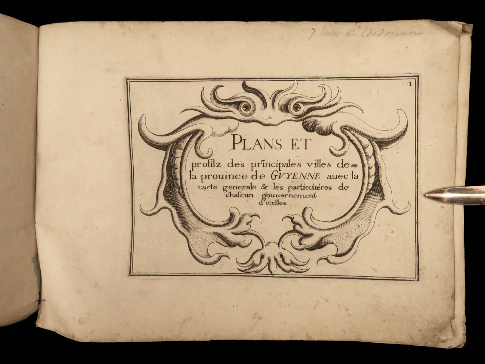
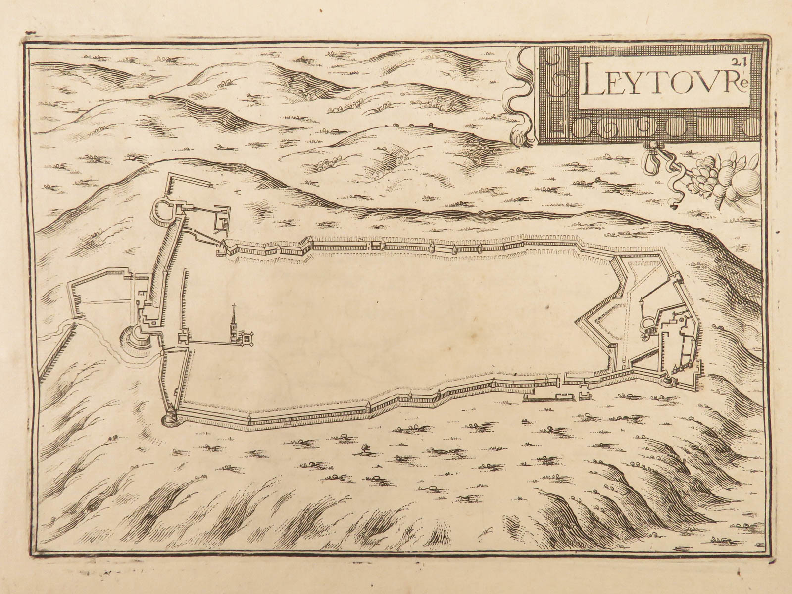
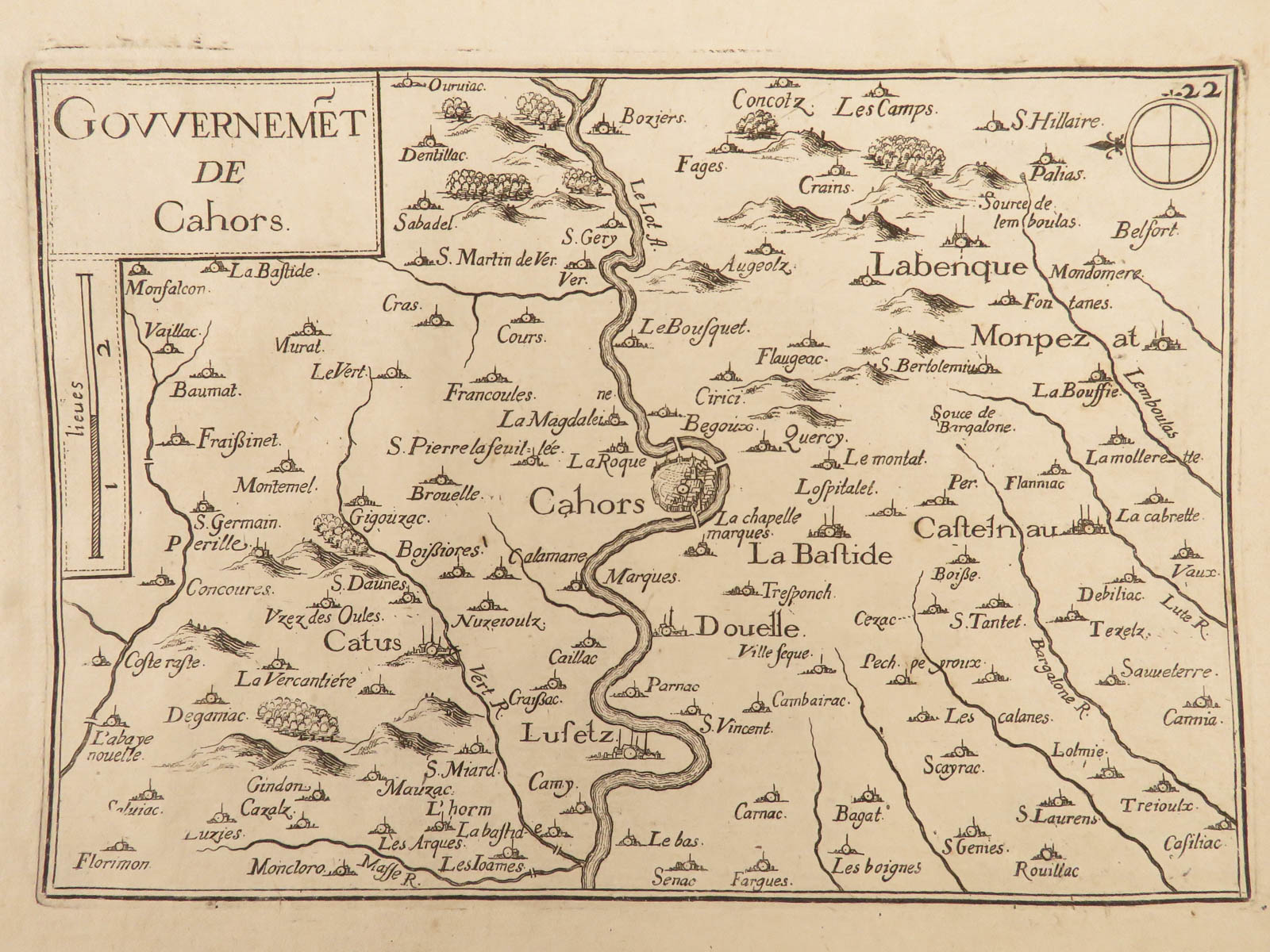
Plans et profilz des principales villes de la province de guyenne avec la carte generale & les particulieres des chascun governement d’icelles
[Paris: Tavernier, 1640.] 1st edition
Details:
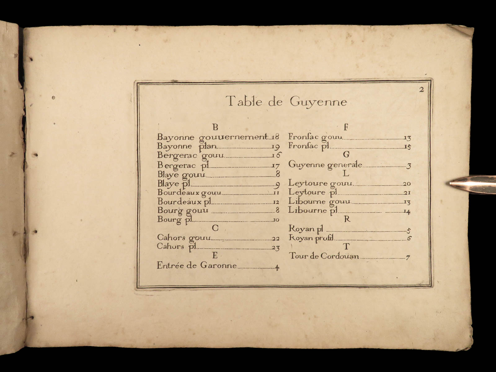
- Collation:
- 23 leaves
- 20 engravings
- Language: French
- Binding: Softcover; tight and secure
- Size: ~6.5in X 9in (16.5cm x 22.5cm)
- Quite rare
Our Guarantee:
Very Fast. Very Safe. Free Shipping Worldwide.
Customer satisfaction is our priority! Notify us with 7 days of receiving, and we will offer a full refund without reservation!
24791
Categories
Medicine & Science
Voyages & Exploration & Maps
Authors
TASSIN, Nicolas
Printing Date
17th Century
Language
French
Binding
Softcover
Book Condition
Excellent
Other Books you might like...
-
Sale!
 Add to cart
1804 CAPTAIN COOK 3rd Voyage Polynesian Islands Northwest Passage Exploration 3v
Original price was: $750.00.$650.00Current price is: $650.00. -
Sale!
 Add to cart
1794 EARLY American Biography Belknap Columbus Soto Cortez Magellan Puritans 2v
Original price was: $950.00.$850.00Current price is: $850.00. -
Sale!
 Add to cart
1814 FAMOUS Empire of Morocco Timbuktu Jackson Africa Shipwrecks MAPS Arabs
Original price was: $795.00.$695.00Current price is: $695.00. -
Sale!
 Add to cart
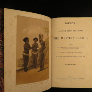
1853 1st ed Erskine Journal of Cruise Pacific Islands Tonga Fiji Polynesia MAP
Original price was: $599.00.$499.00Current price is: $499.00.