1832 The Western Pilot Ohio River & Mississippi River Navigation Voyages 43 MAPS

A mile-by-mile navigation aid for traveling the Ohio and Mississippi Rivers.
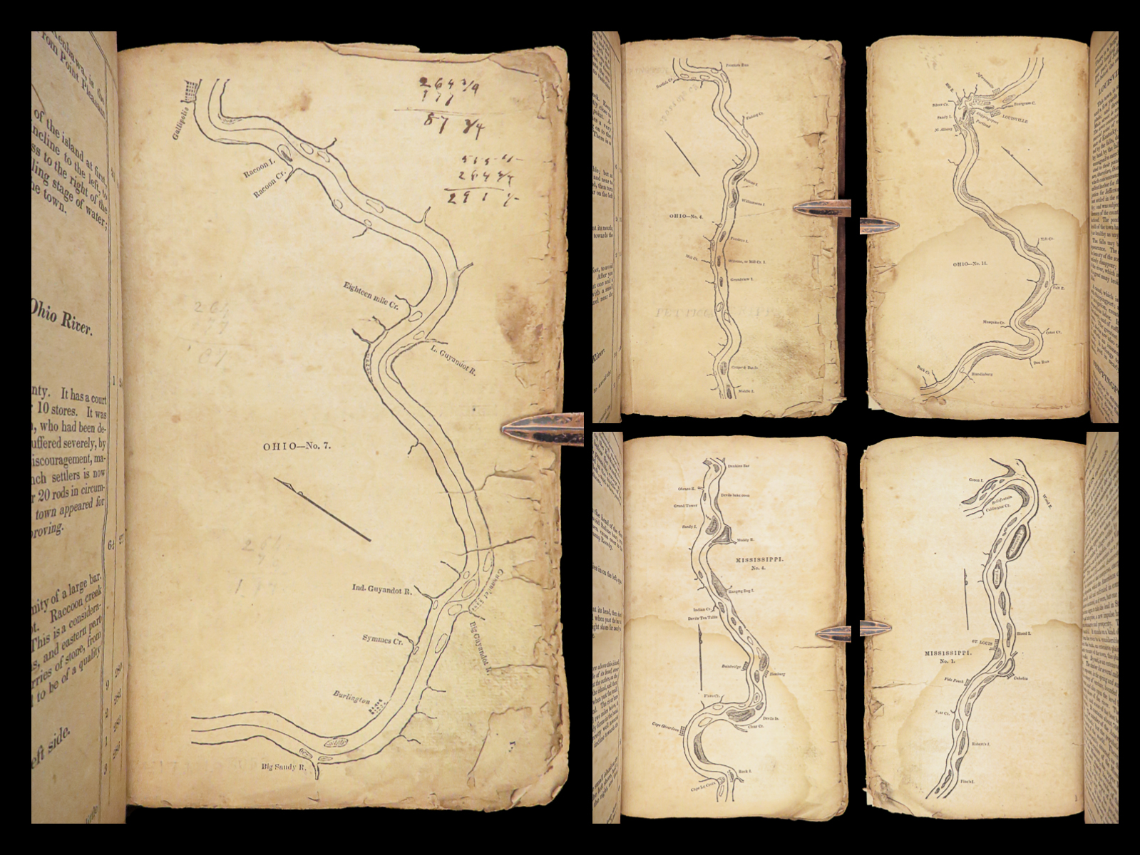
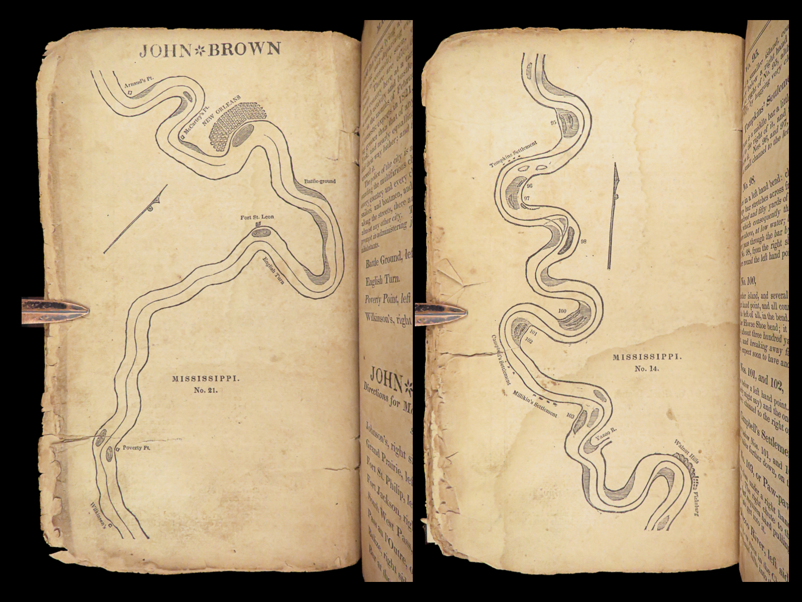
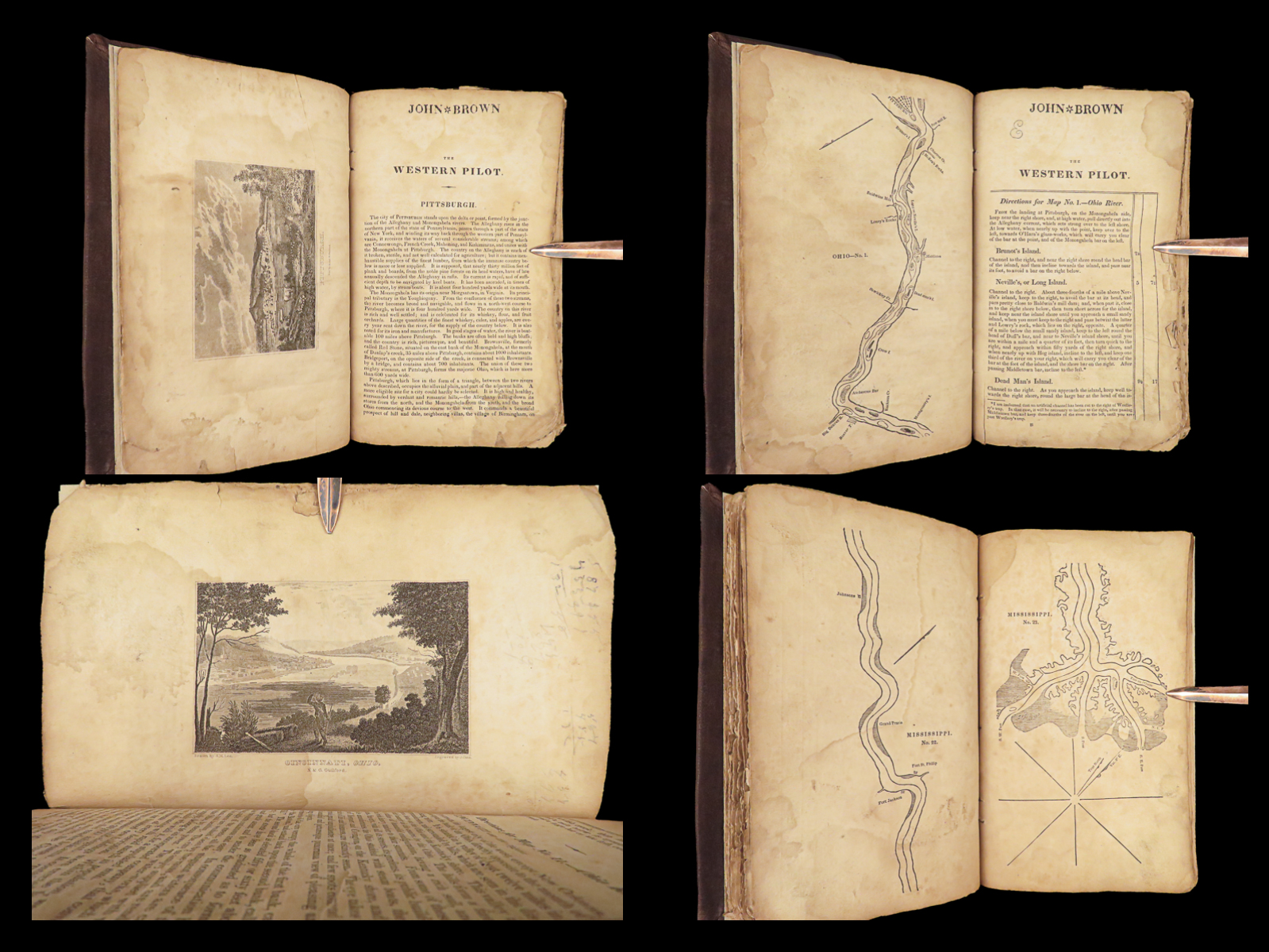
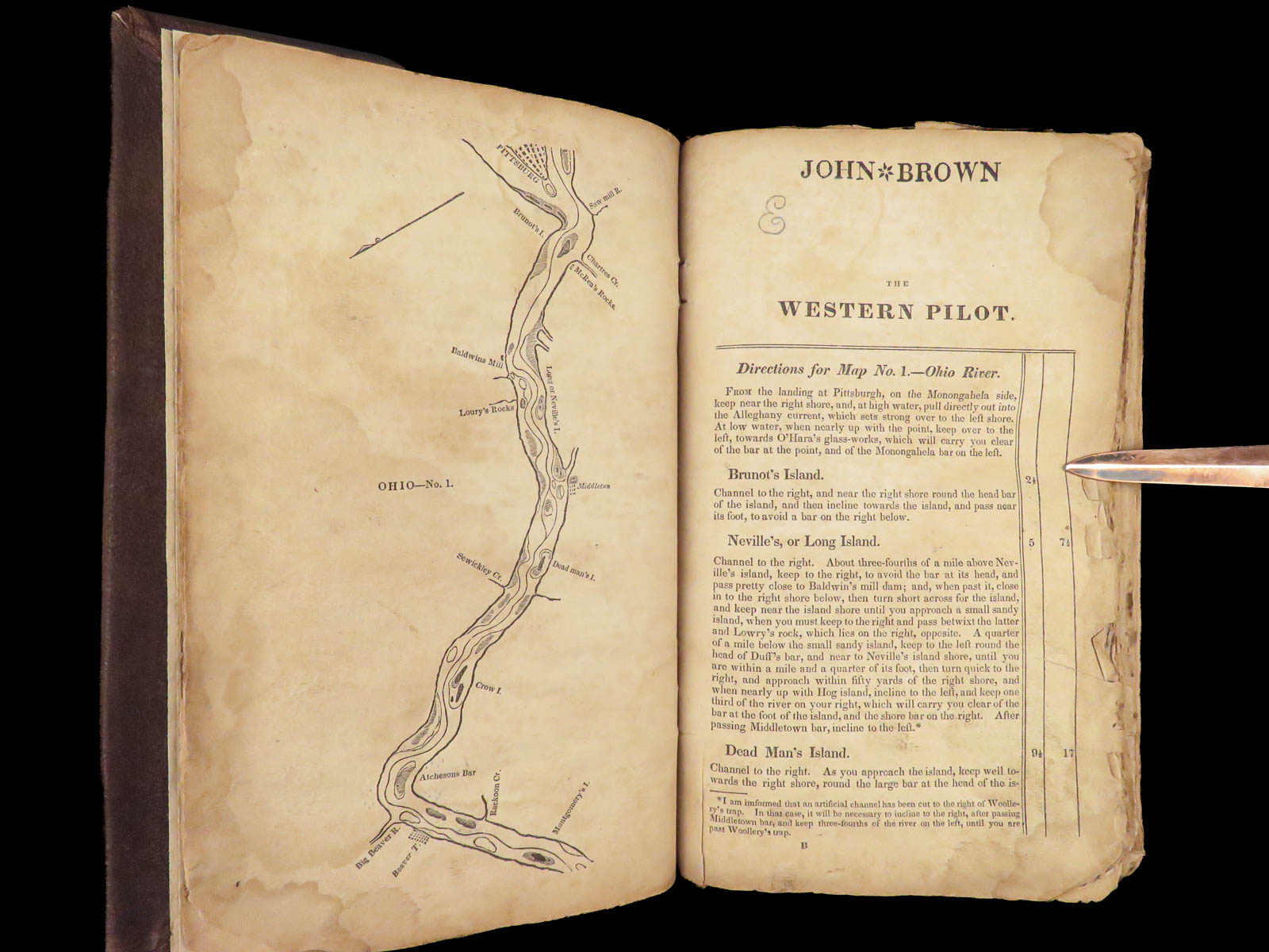
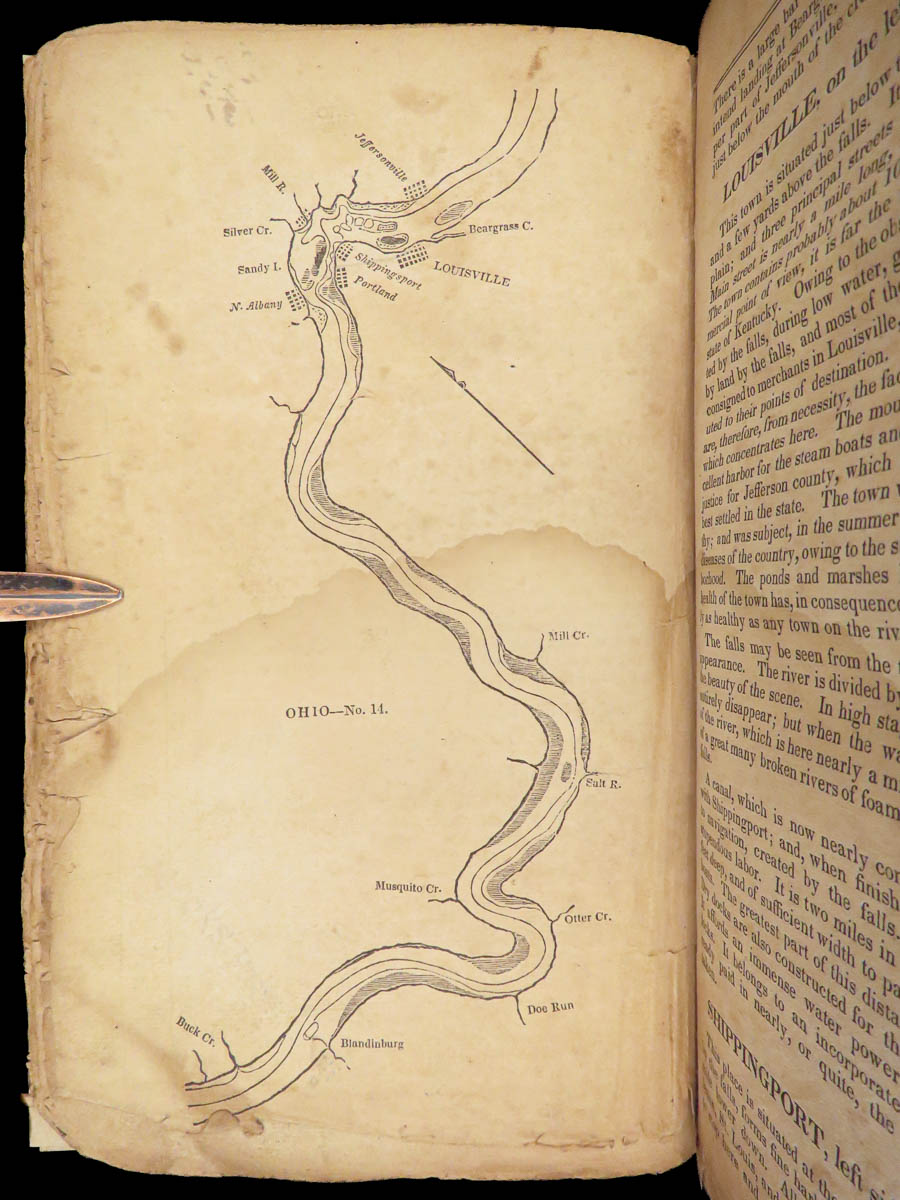
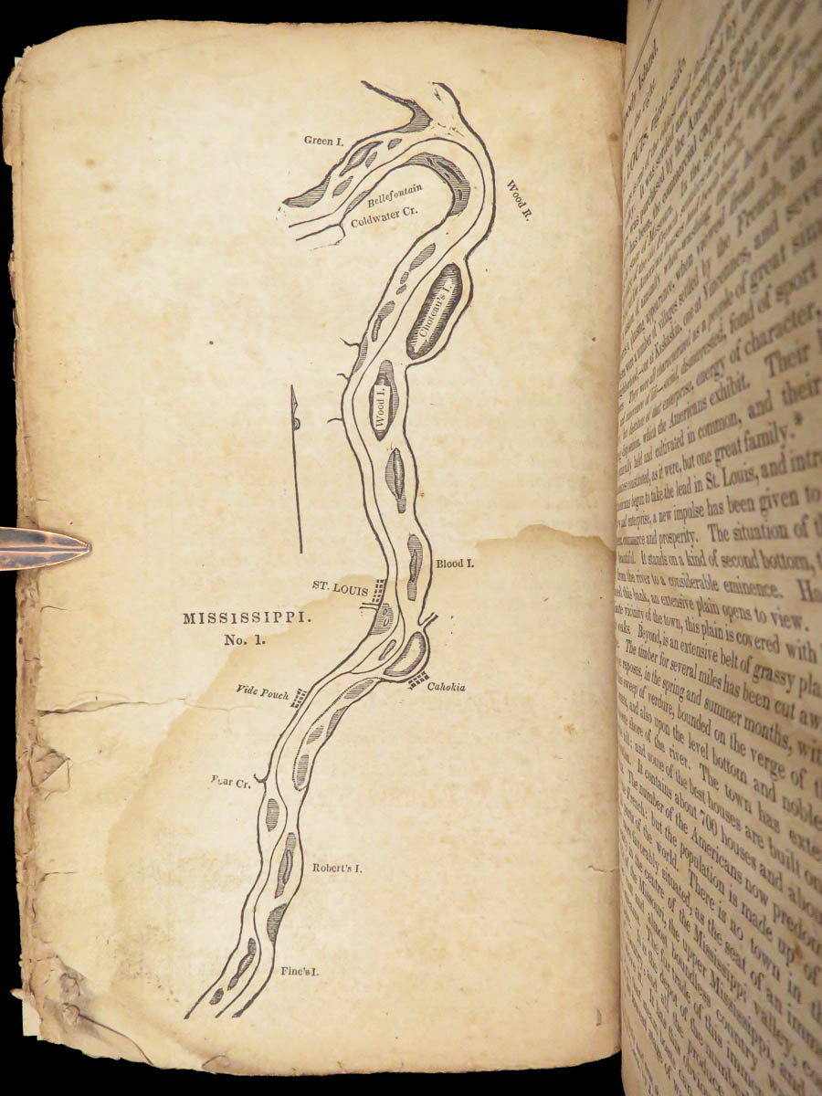
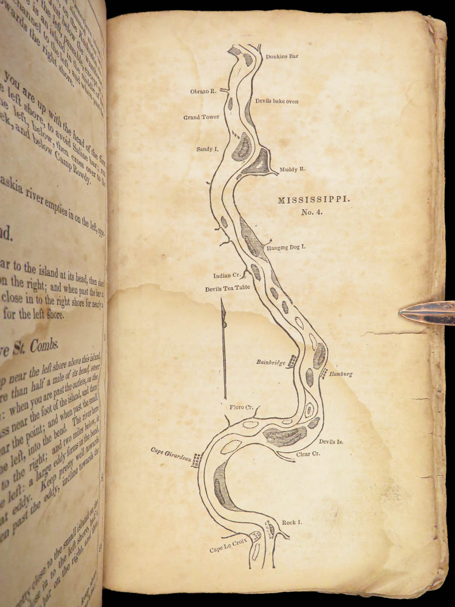
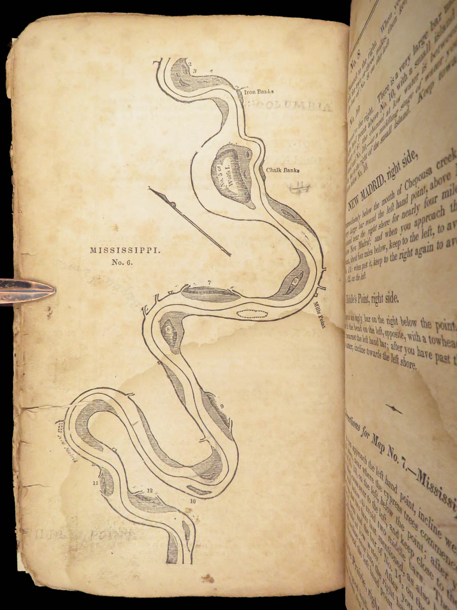
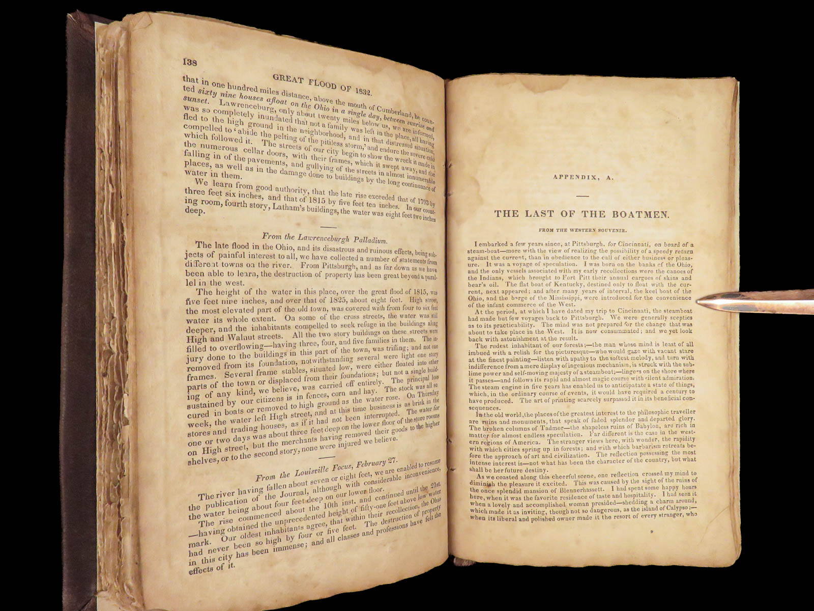
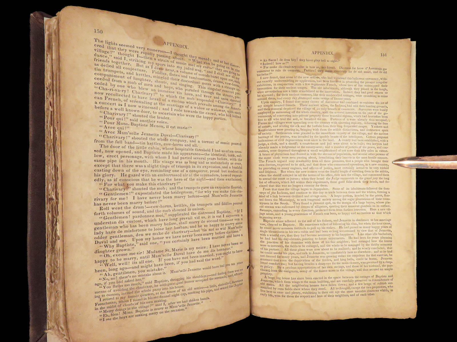
Samuel Cumings’ book “The Western Pilot” is an impressive and highly desirable 19th-century history of two of the largest rivers in America. Cumings describes both the Ohio and Mississippi Rivers with the utmost detail, seemingly describing every bend and straight, each port and river city, islands, creeks and branches, smaller rivers, and so much more.
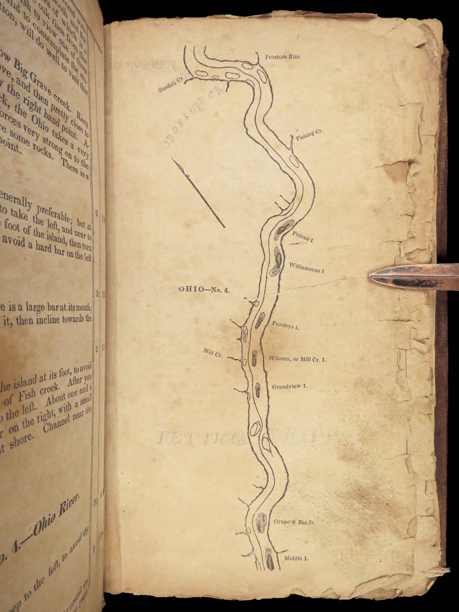
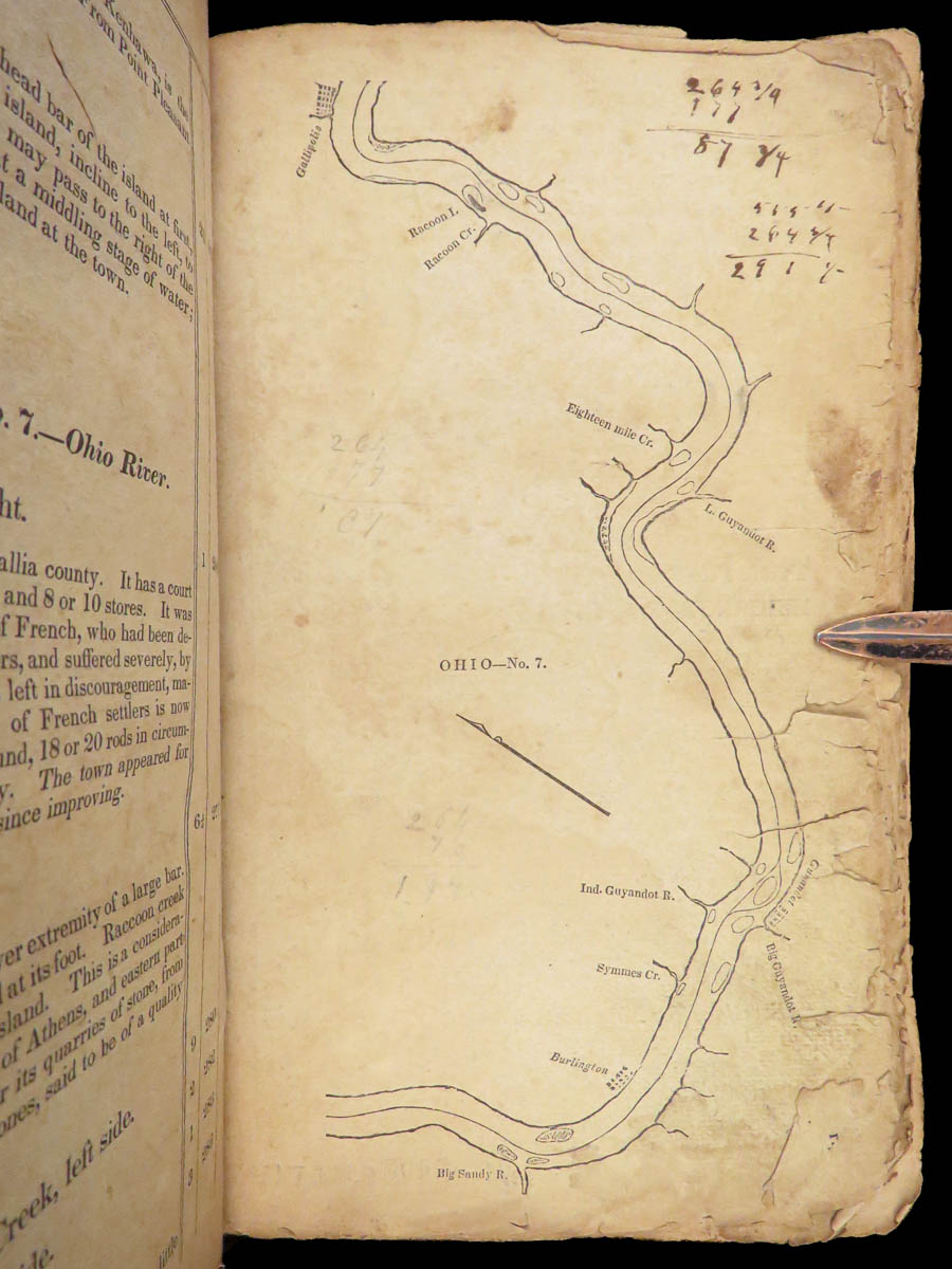
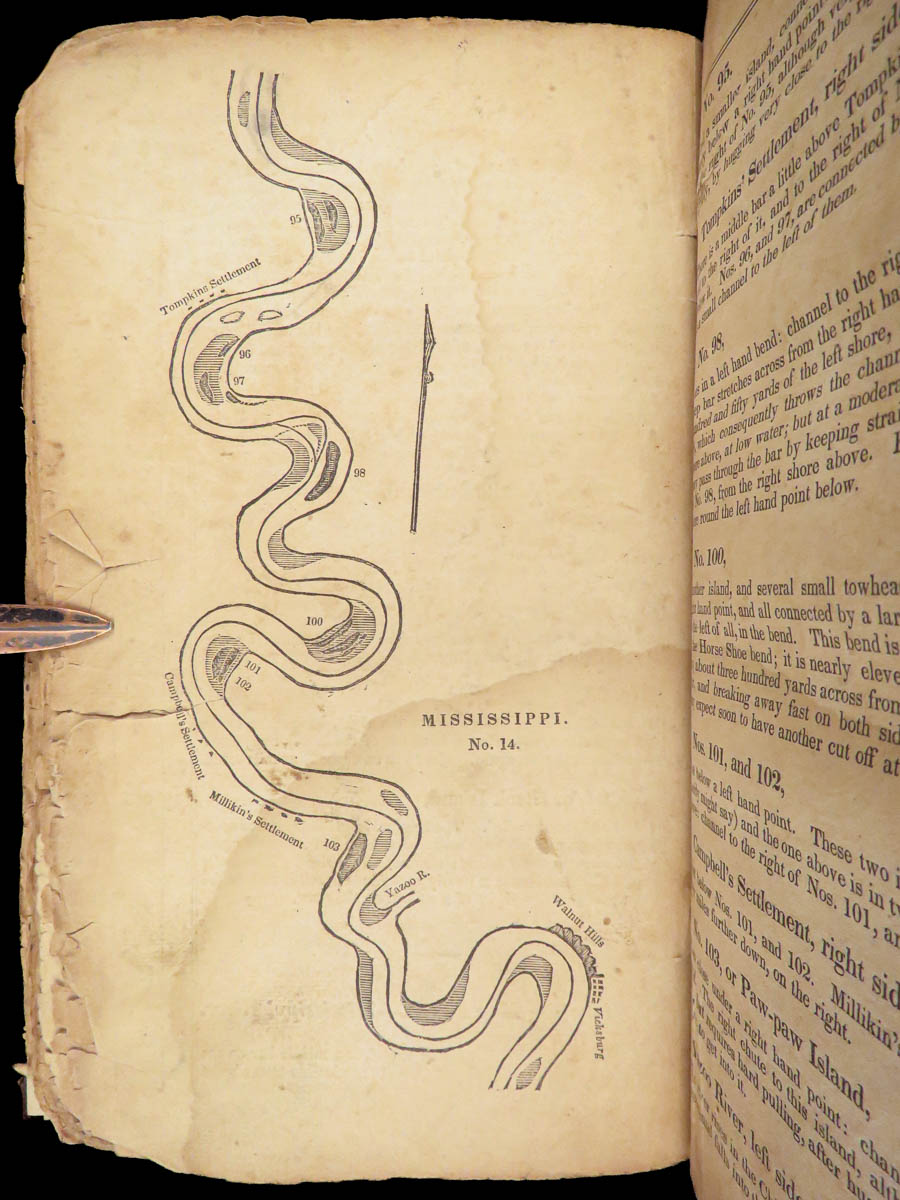
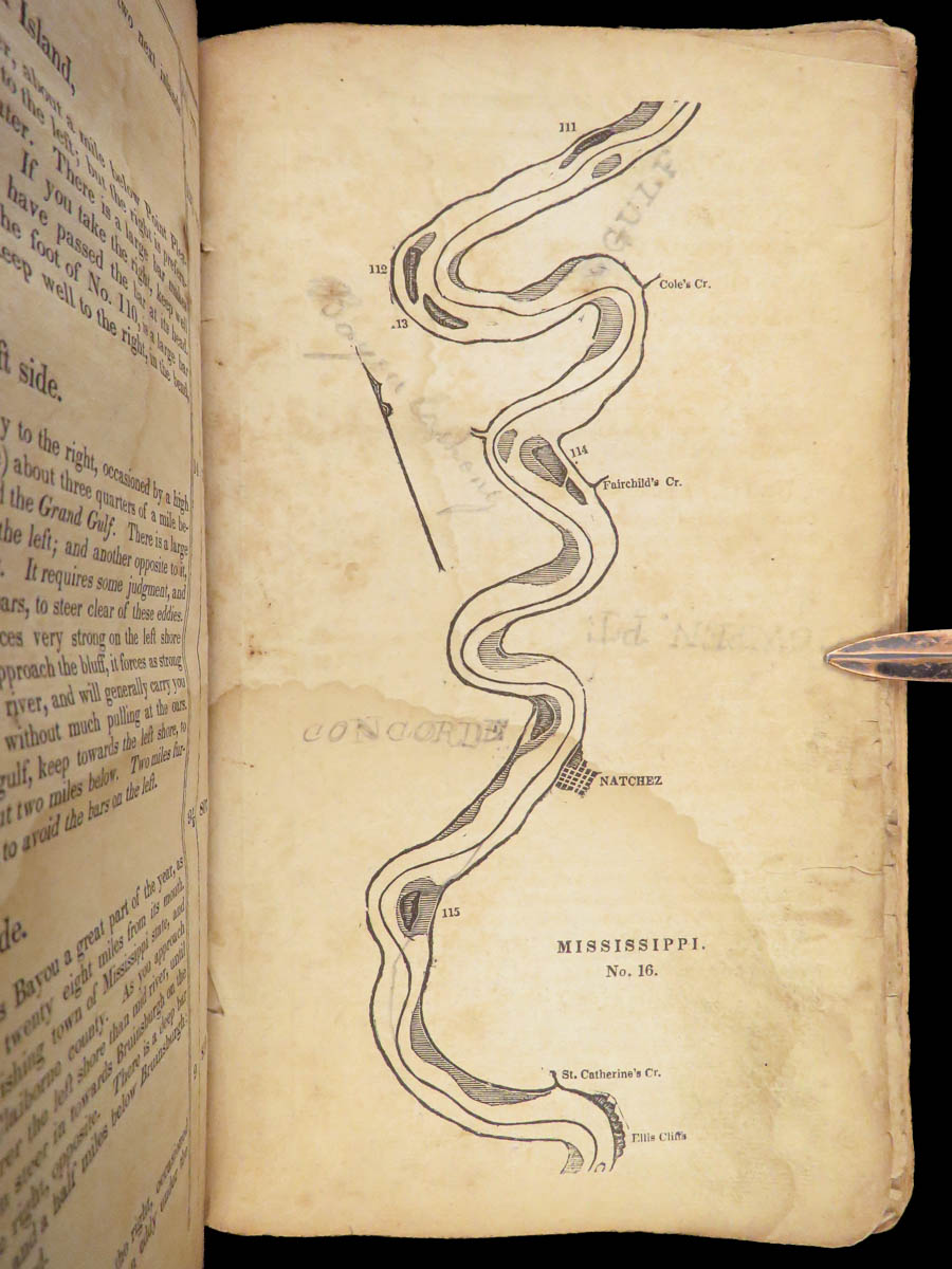
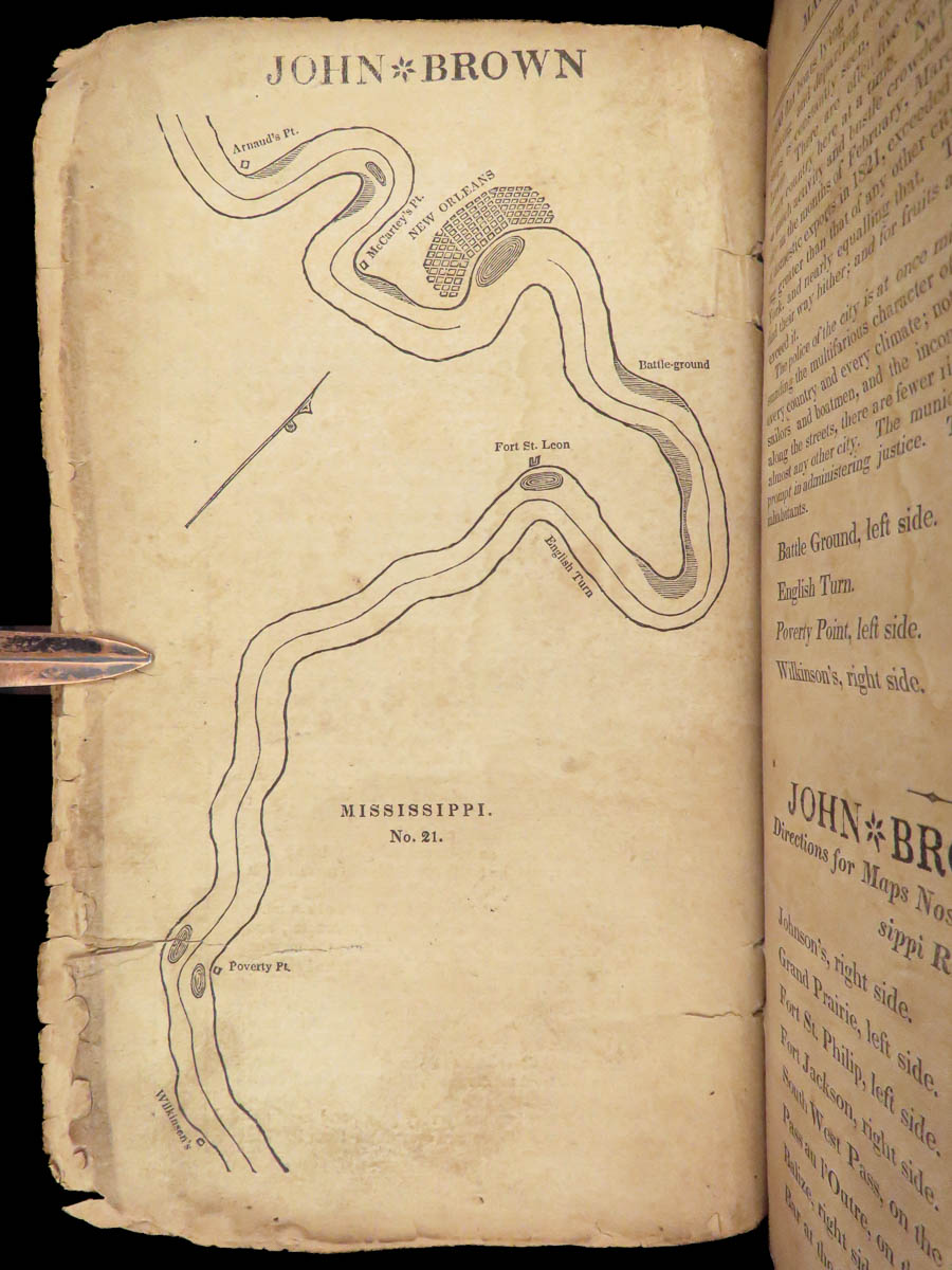
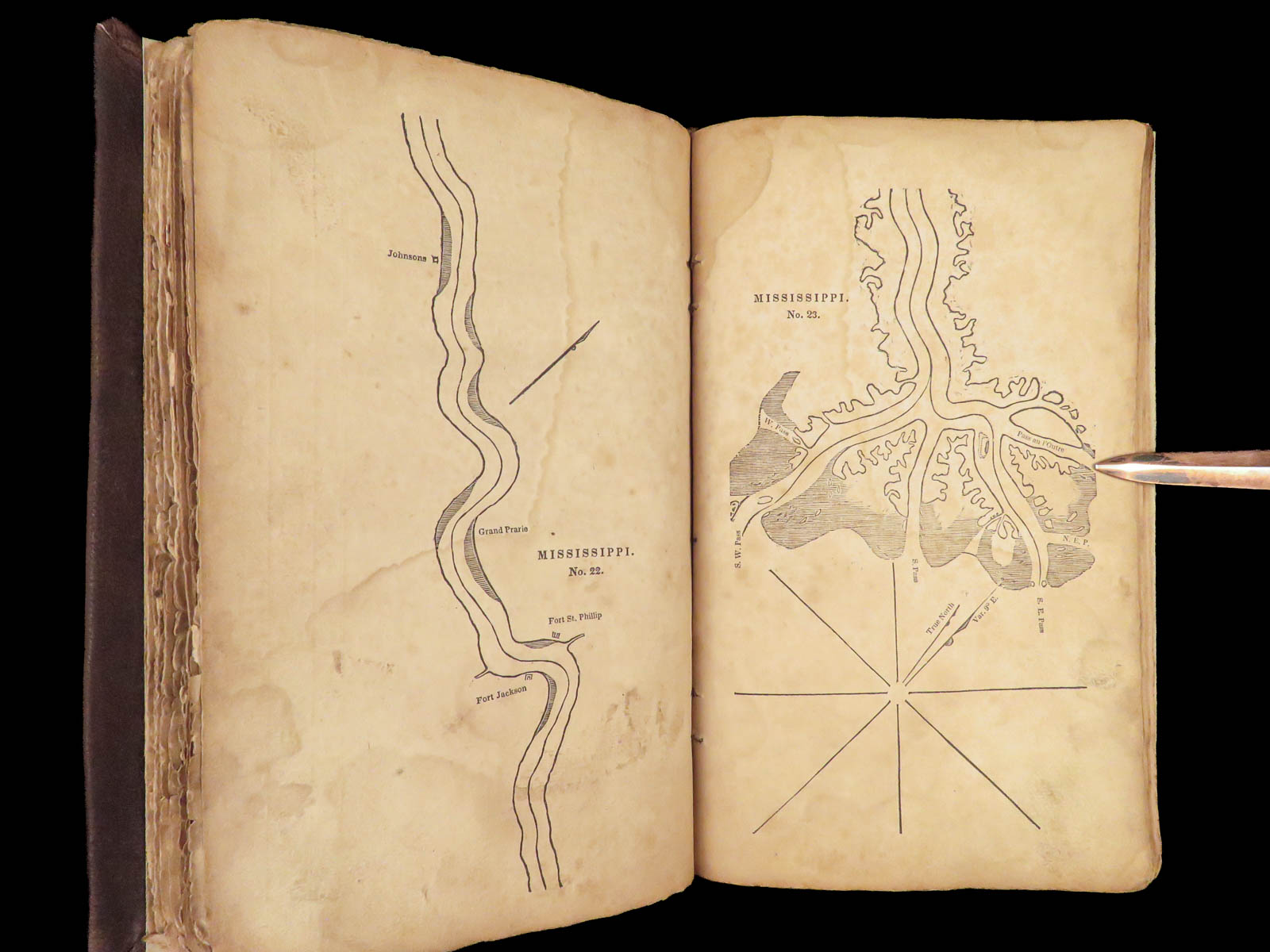
It is, however, the dozens of full-page maps of the rivers that makes this book so desirable. Both rivers are broken in sections that can be illustrated – showing cities and towns, important islands, and points of interest along the entire river.
Item number: #27375
Price: $950

1832 The Western Pilot Ohio River & Mississippi River Navigation Voyages 43 MAPS
A mile-by-mile navigation aid for traveling the Ohio and Mississippi Rivers.
Samuel Cumings’ book “The Western Pilot” is an impressive and highly desirable 19th-century history of two of the largest rivers in America. Cumings describes both the Ohio and Mississippi Rivers with the utmost detail, seemingly describing every bend and straight, each port and river city, islands, creeks and branches, smaller rivers, and so much more.
It is, however, the dozens of full-page maps of the rivers that makes this book so desirable. Both rivers are broken in sections that can be illustrated – showing cities and towns, important islands, and points of interest along the entire river.
Item number: #27375
Price: $950
CUMINGS, Samuel
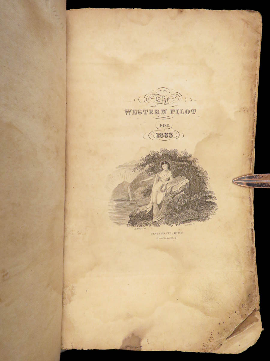
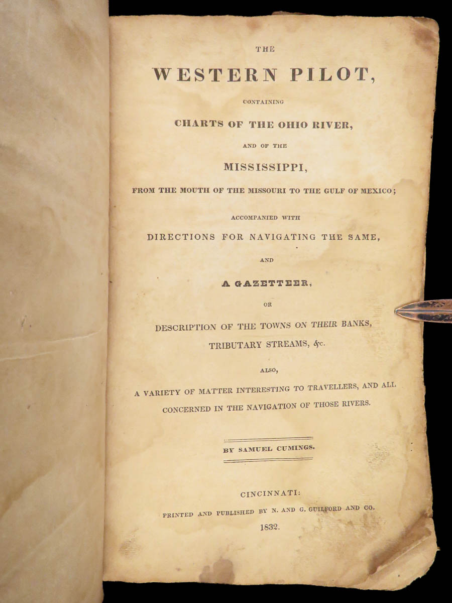
The western pilot : containing charts of the Ohio River, and of the Mississippi, from the mouth of the Missouri to the Gulf of Mexico
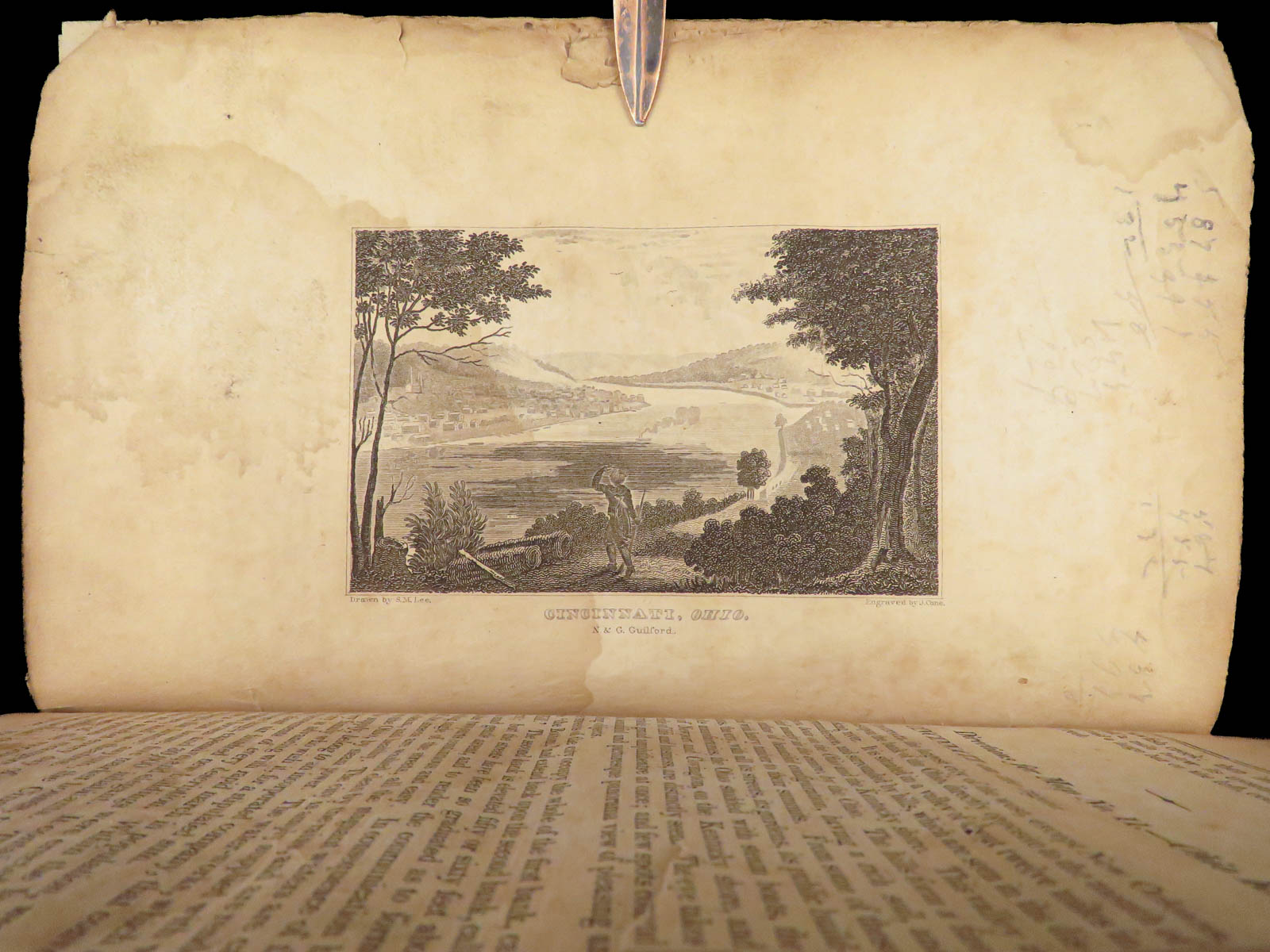
Cincinnati: printed and published by N. and G. Guilford and Co., 1832.
Details:
- Collation: Complete
- [2], 151, [1]
- Half-title dated 1833
- 17-20 bound between p. 24-25
- 43 maps of the Ohio and Mississippi Rivers
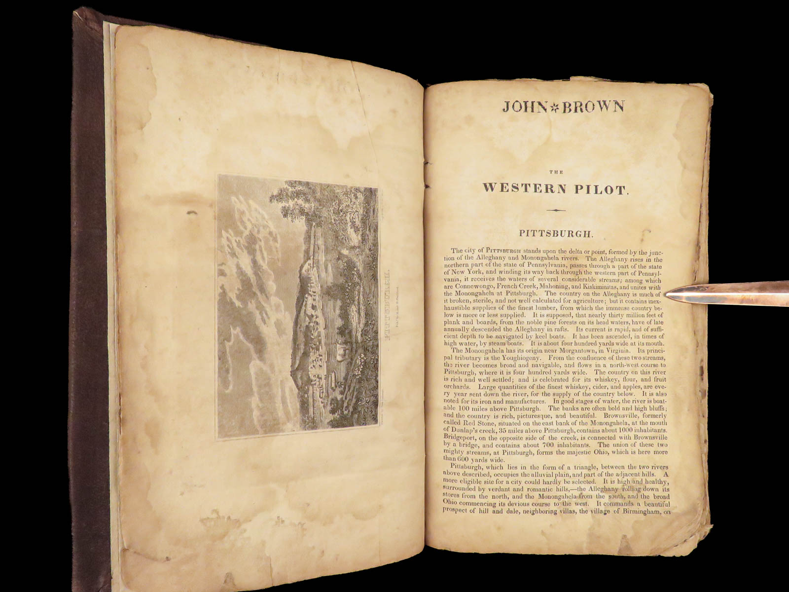
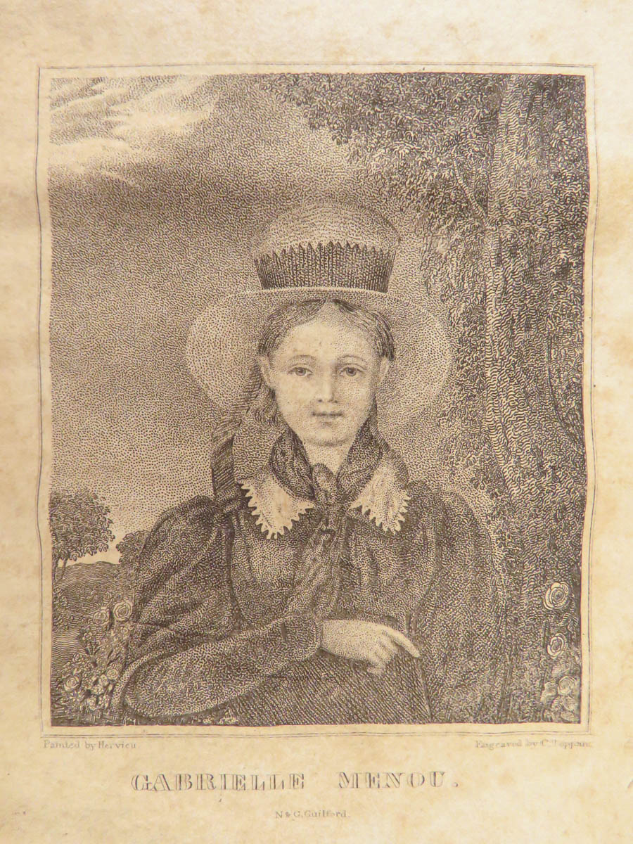
- Engraved, added title page + 2 engravings (view of Pittsburgh, PA; and portrait engraving)
- [2], 151, [1]
- References: Howes C 948; Sabin 17904; Rader 995n
- Provenance: Stamp – John Brown
- Language: English
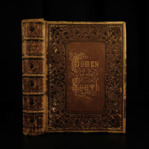
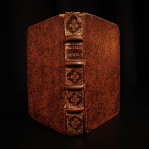
- Binding: Leather; tight and secure
- Size: ~8.75in X 5.75in (22.5cm x 14.5cm)
Our Guarantee:
Very Fast. Very Safe. Free Shipping Worldwide.
Customer satisfaction is our priority! Notify us with 7 days of receiving, and we will offer a full refund without reservation!
Categories
Americana, American History
Maps
Authors
CUMINGS, Samuel
Printing Date
19th Century
Language
English
Binding
Leather
Book Condition
Excellent
Collation
Complete
Other Books you might like...
-
Sale!
 Add to cart
1861 Women of the South Mary Forrest Southern Literature Confederate Feminism
Original price was: $499.00.$399.00Current price is: $399.00. -
Sale!
 Add to cart
1667 Brerewood LINGUISTICS Diversity of Language Voyages American Pagans Indians
Original price was: $599.00.$499.00Current price is: $499.00. -
Sale!
 Add to cart
1874 Chisholm’s Route NEW YORK & Canada St. Lawrence Niagara Illustrated MAPS
Original price was: $750.00.$650.00Current price is: $650.00. -
Sale!
 Add to cart
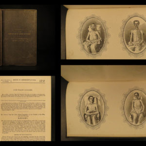
1864 Civil War Fort Pillow Massacre Prisoner of War POW Illustrated CSA Forrest
Original price was: $550.00.$450.00Current price is: $450.00.