1863 Johnson Family ATLAS Geography Color MAPS Texas California New York HUGE

“The most unusual issue of the Johnson Family Atlas!”
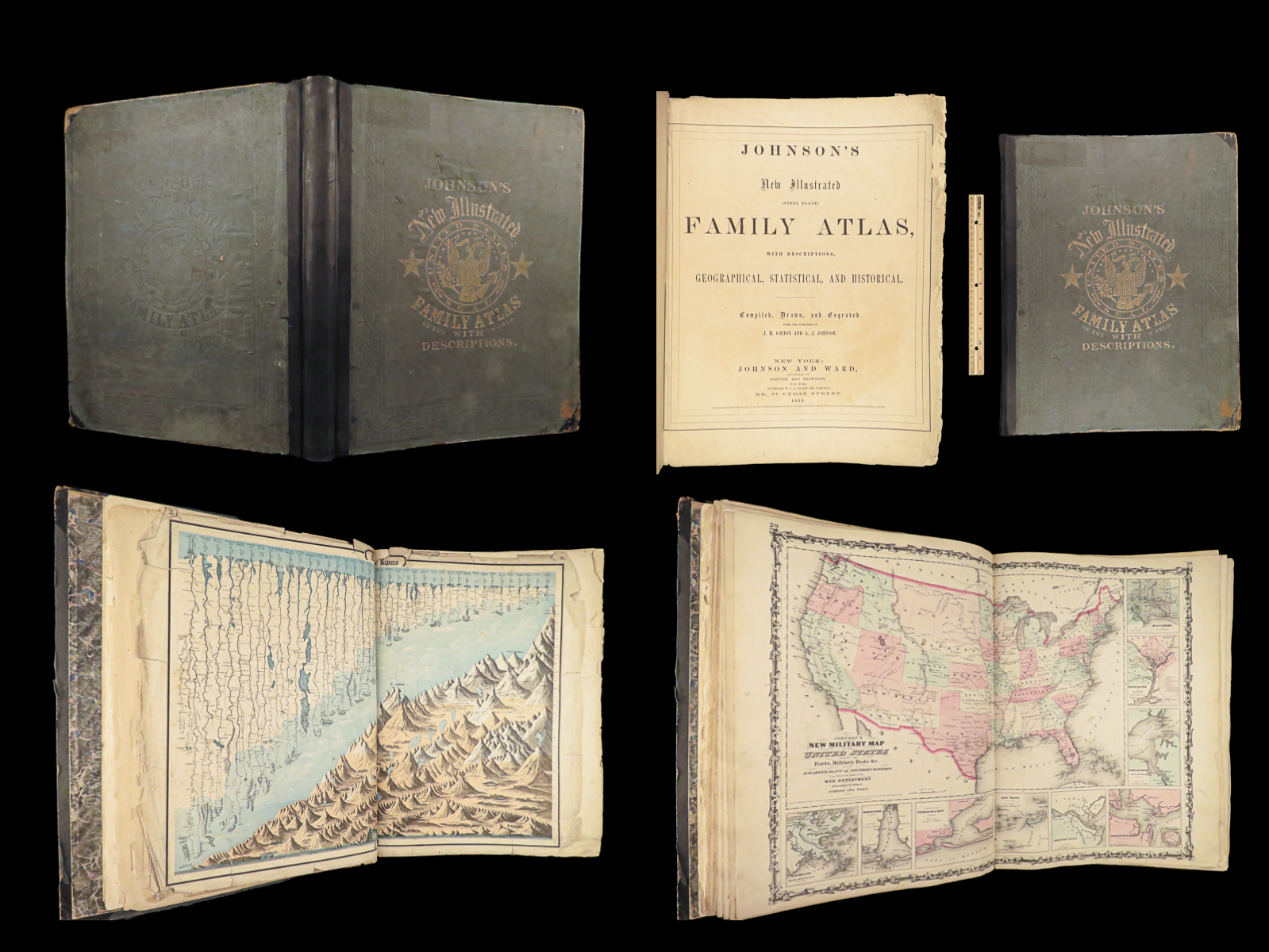
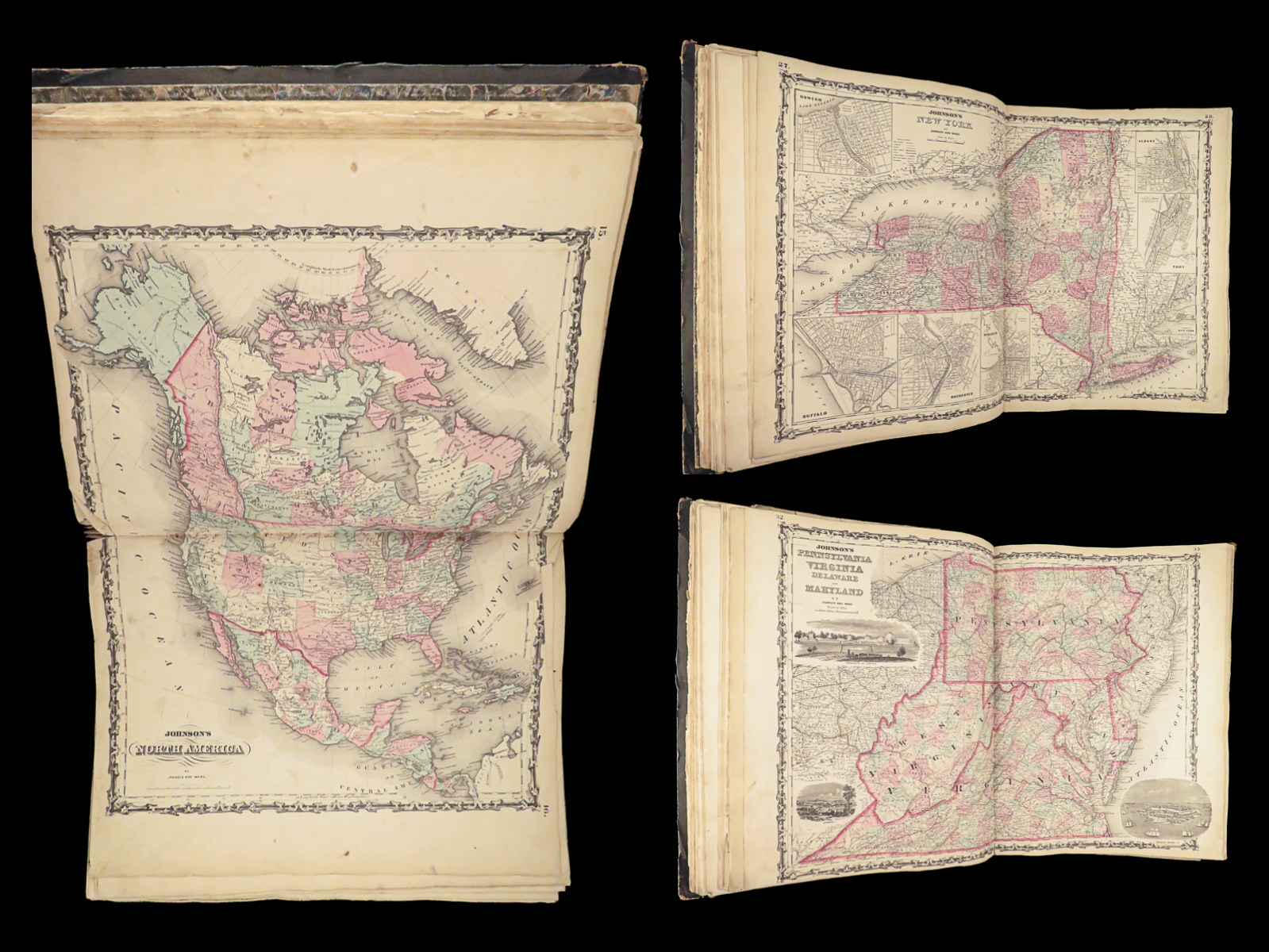
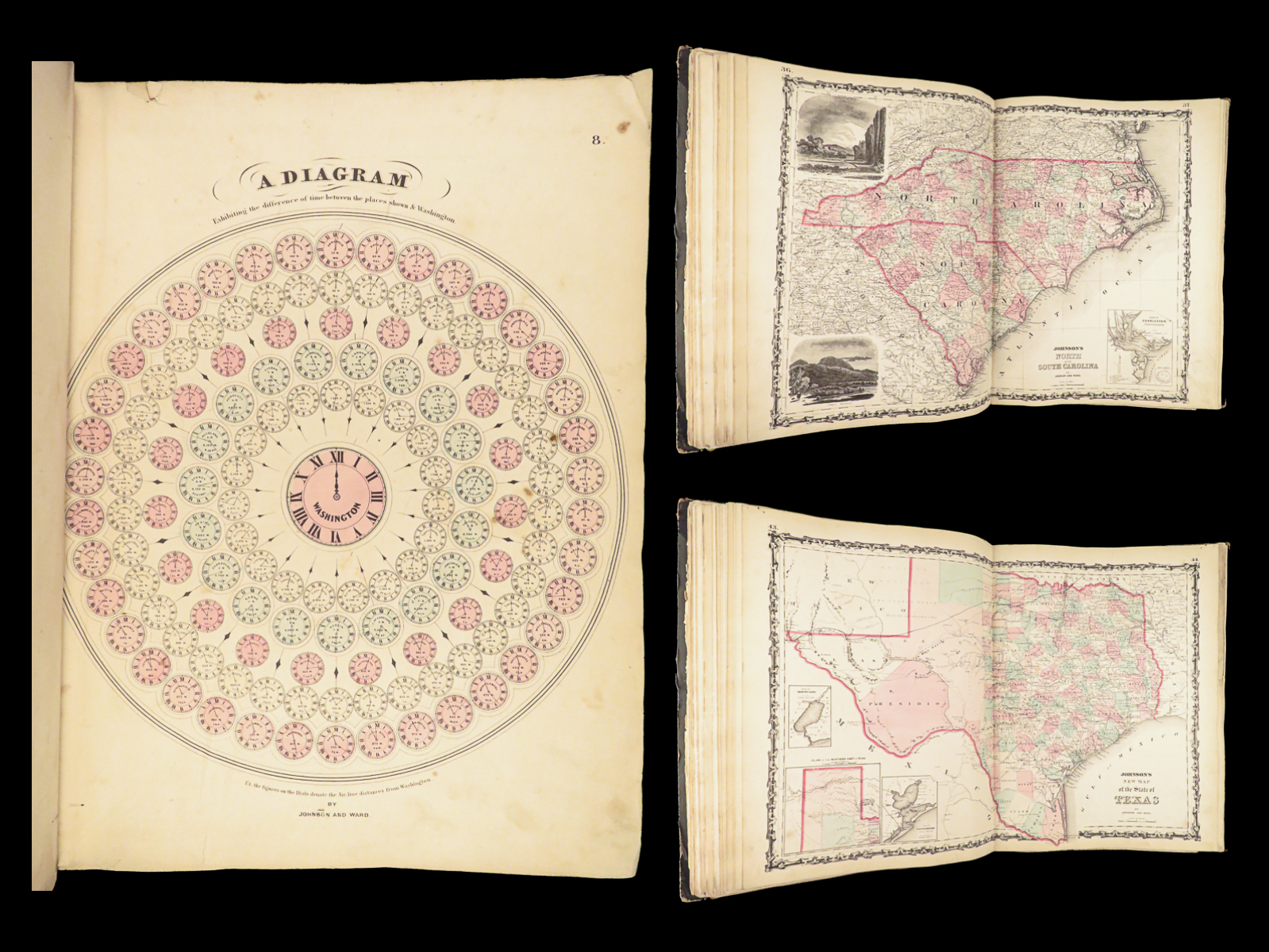
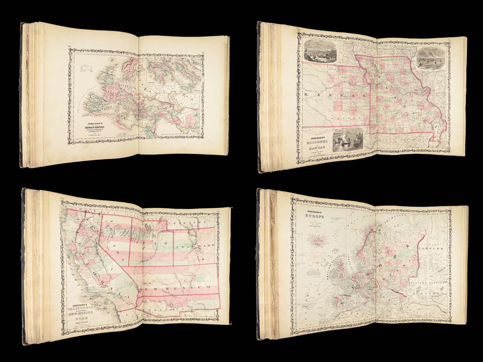
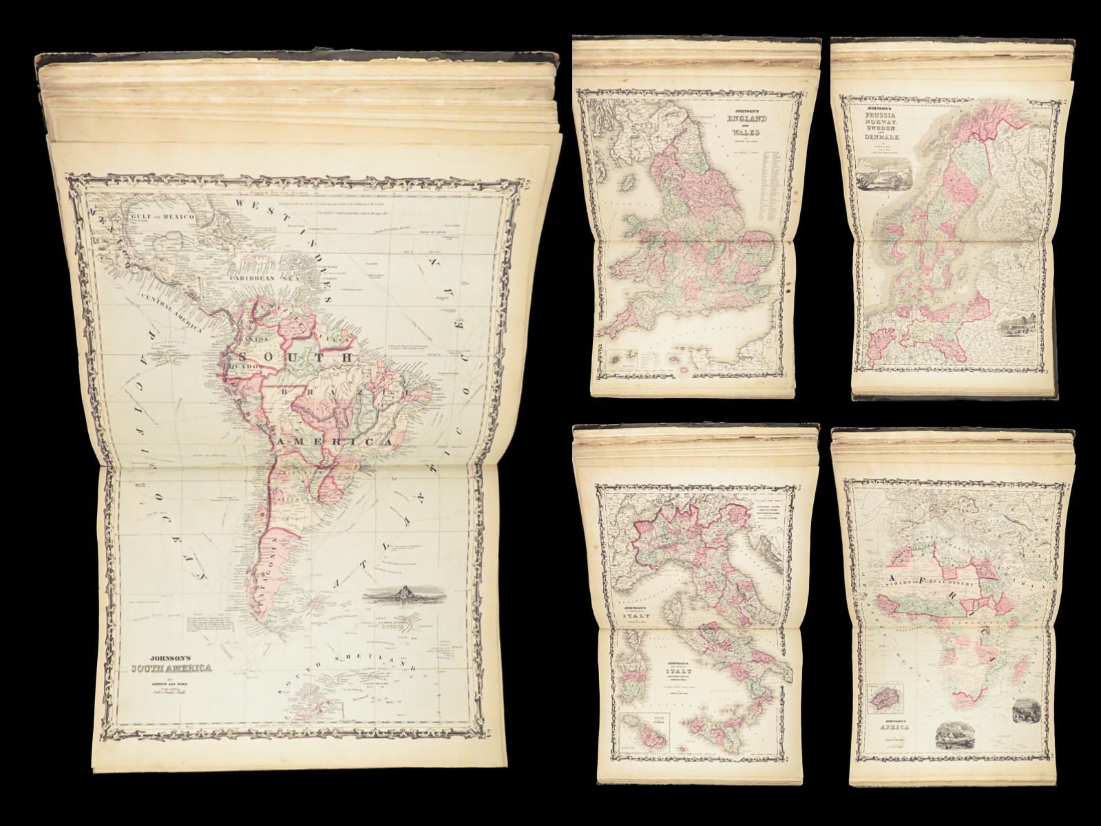
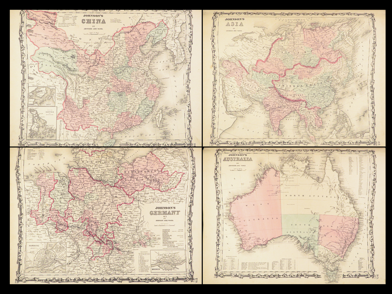
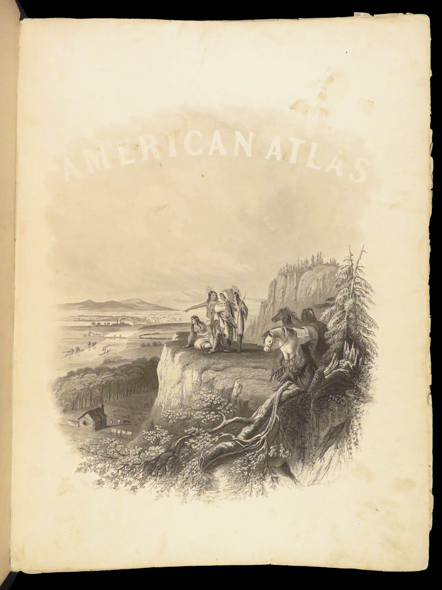
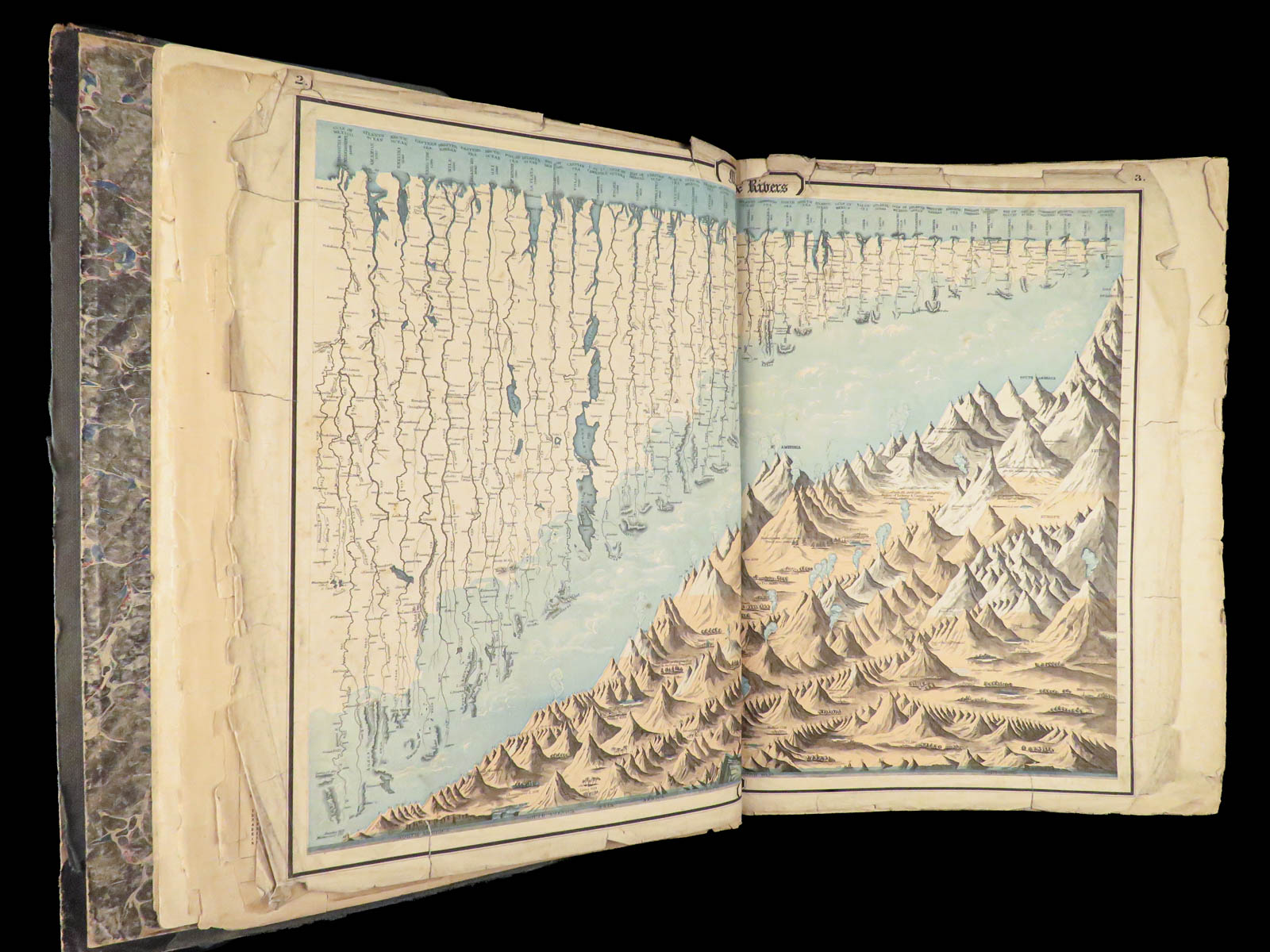
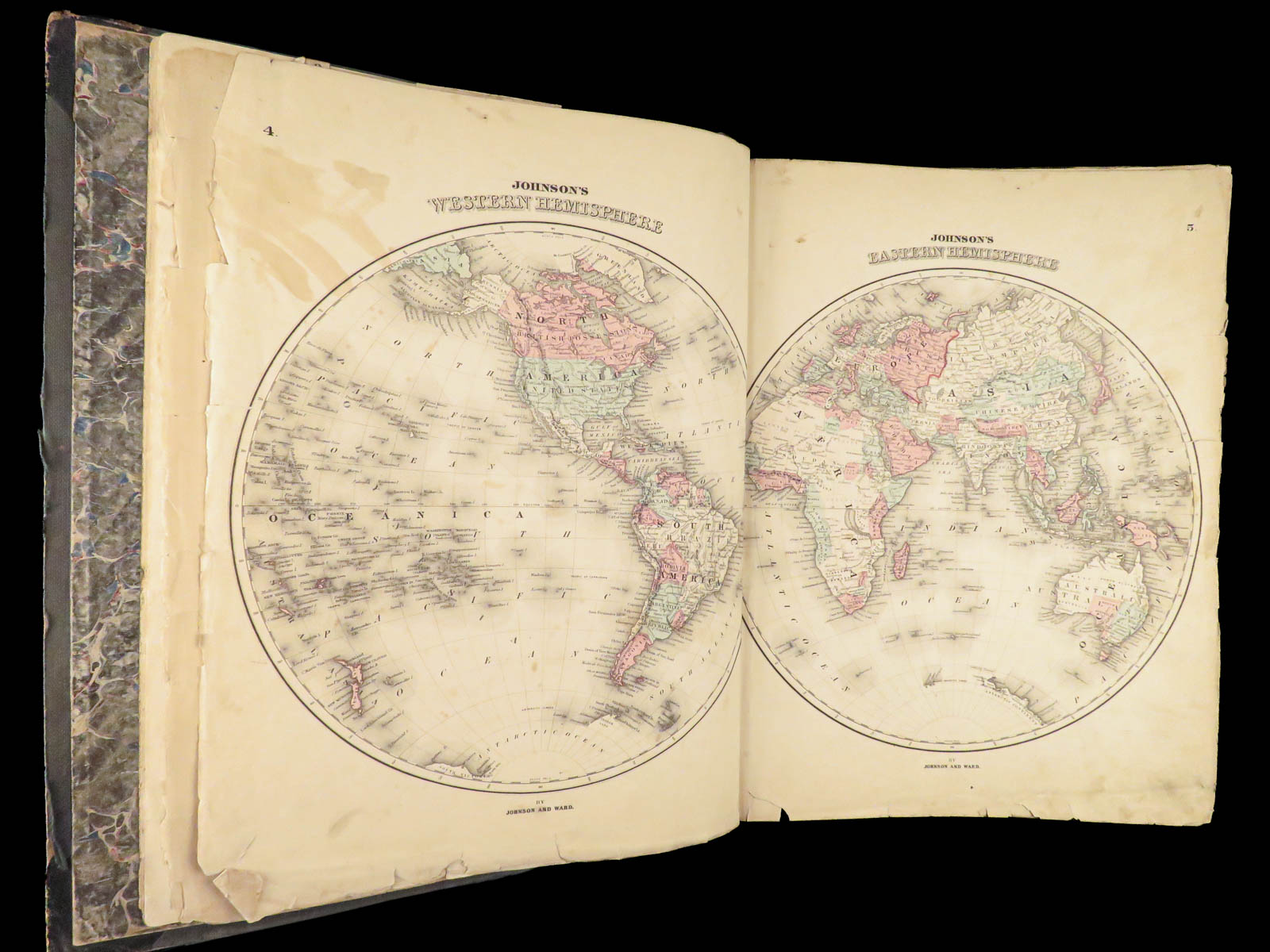
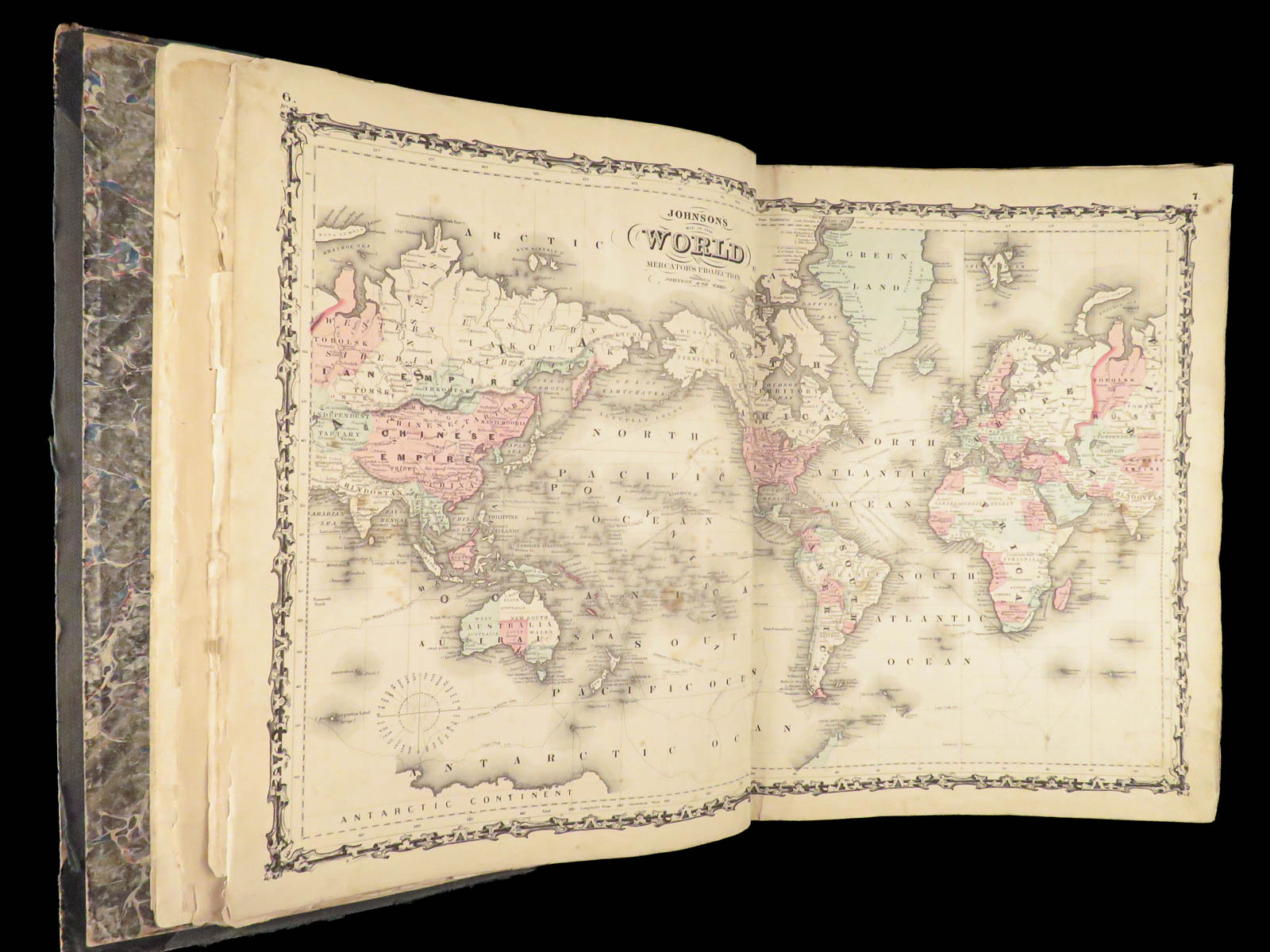
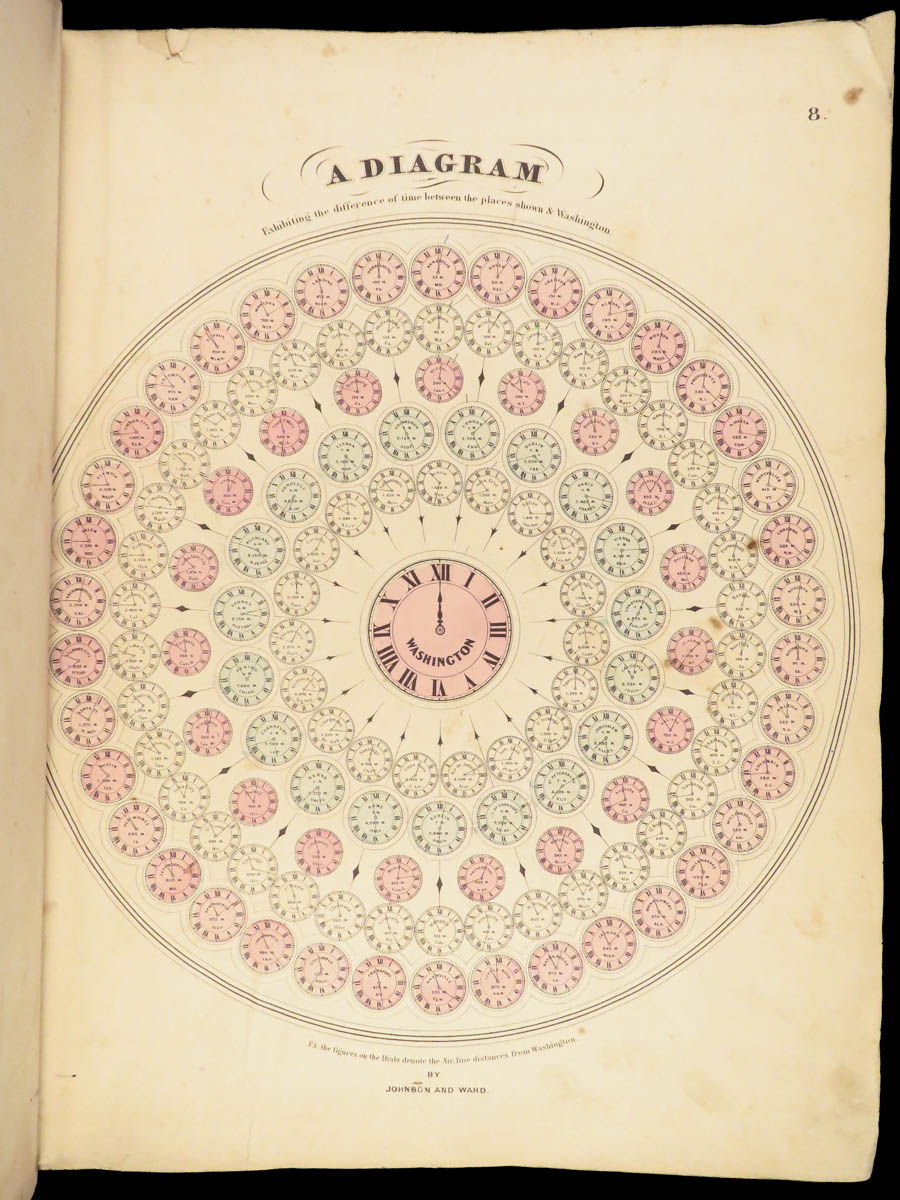
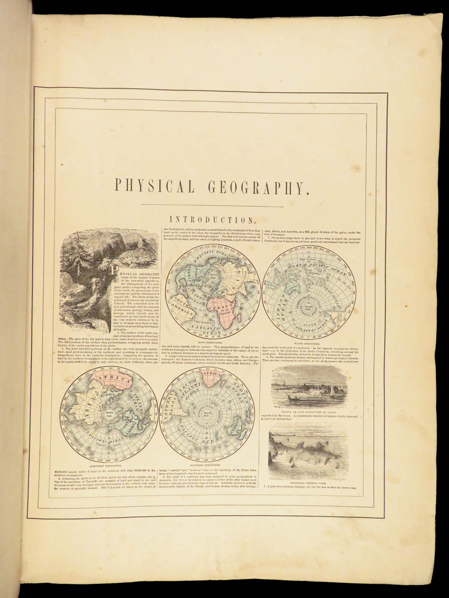
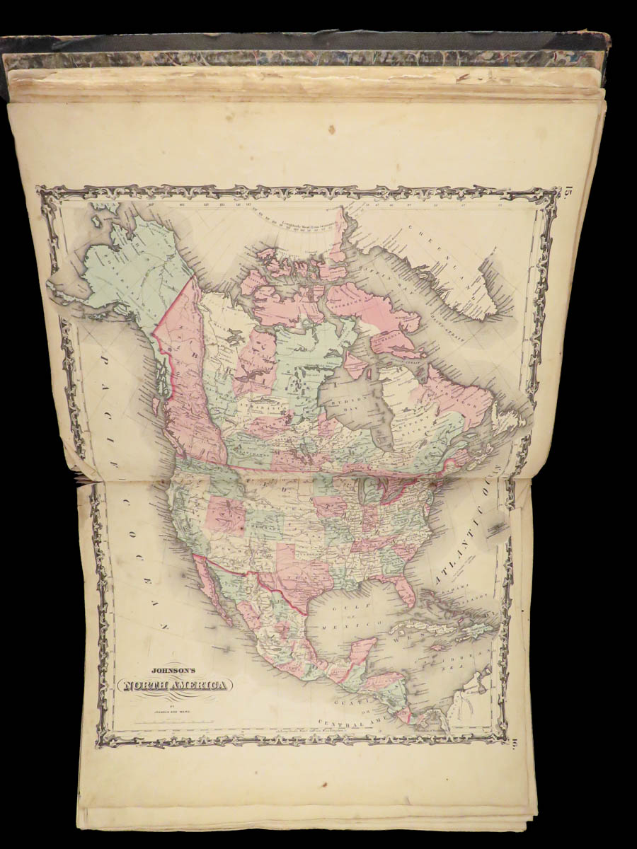
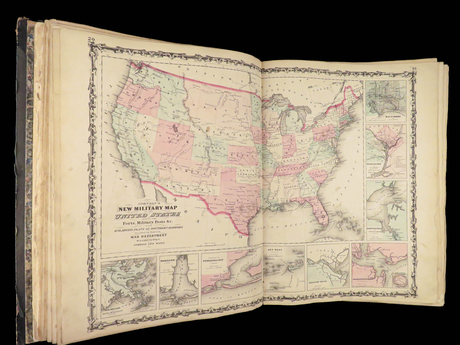
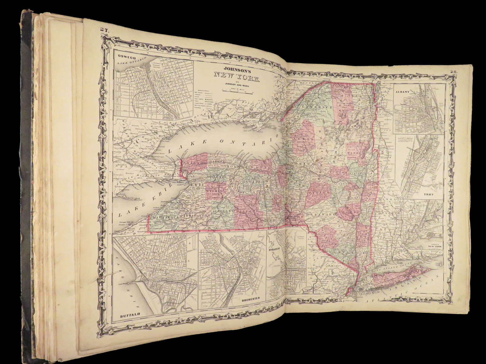
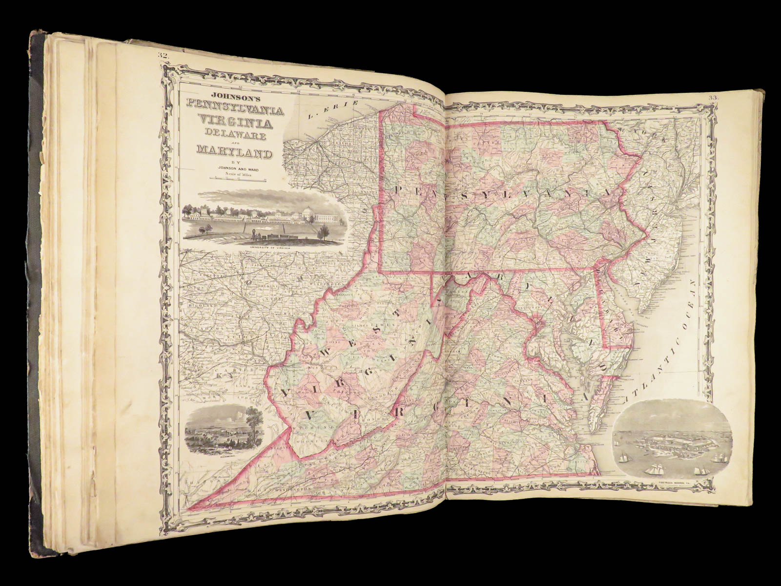
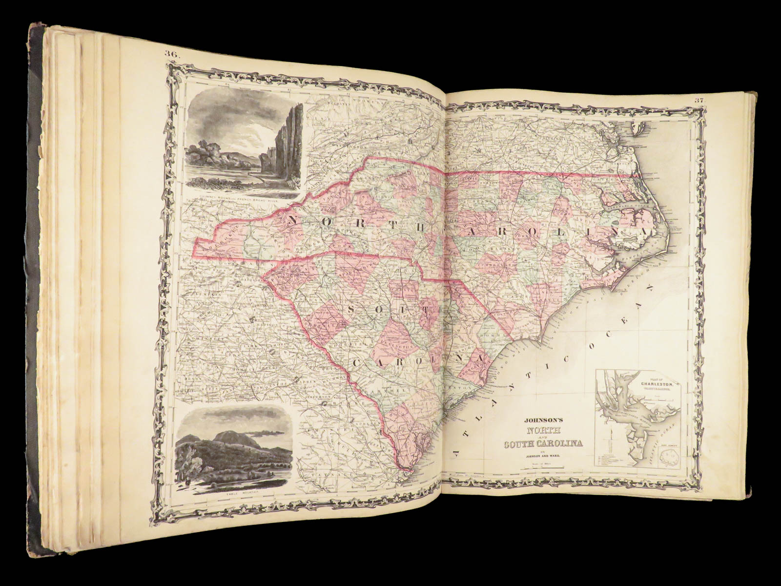
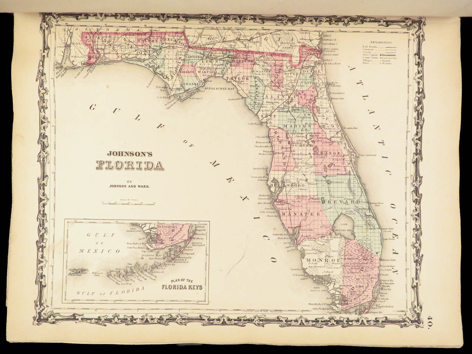
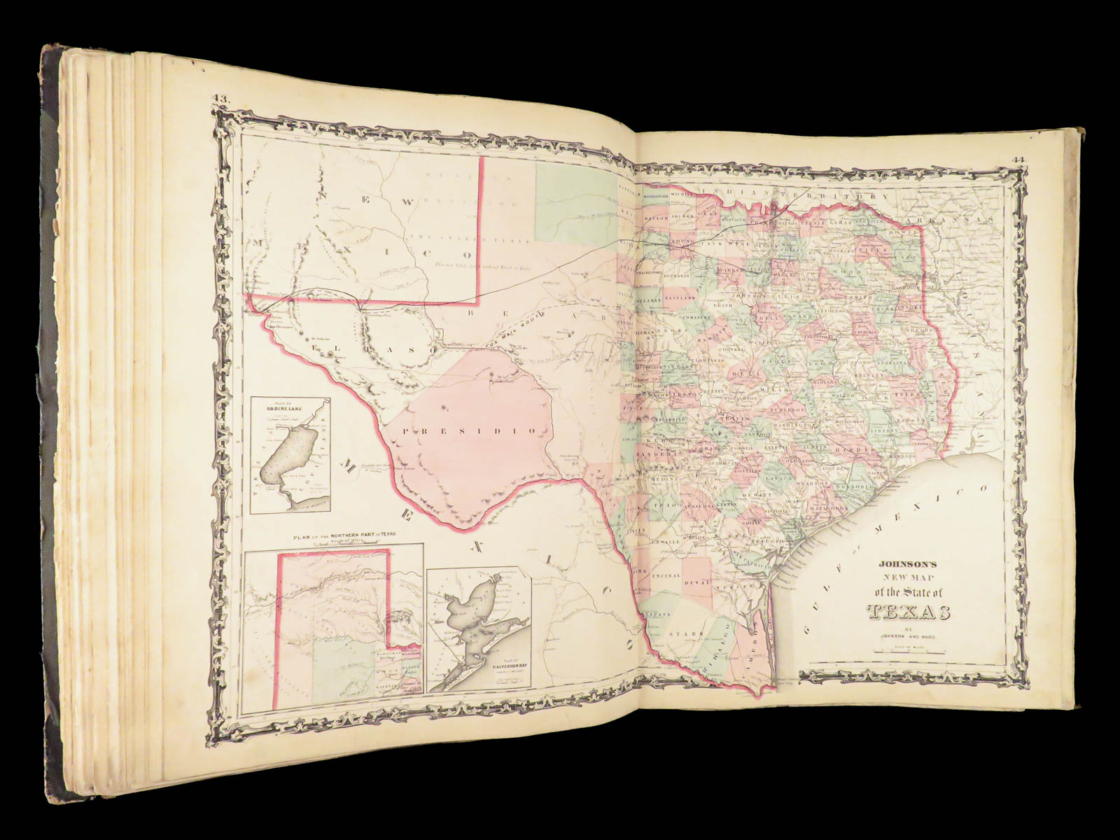
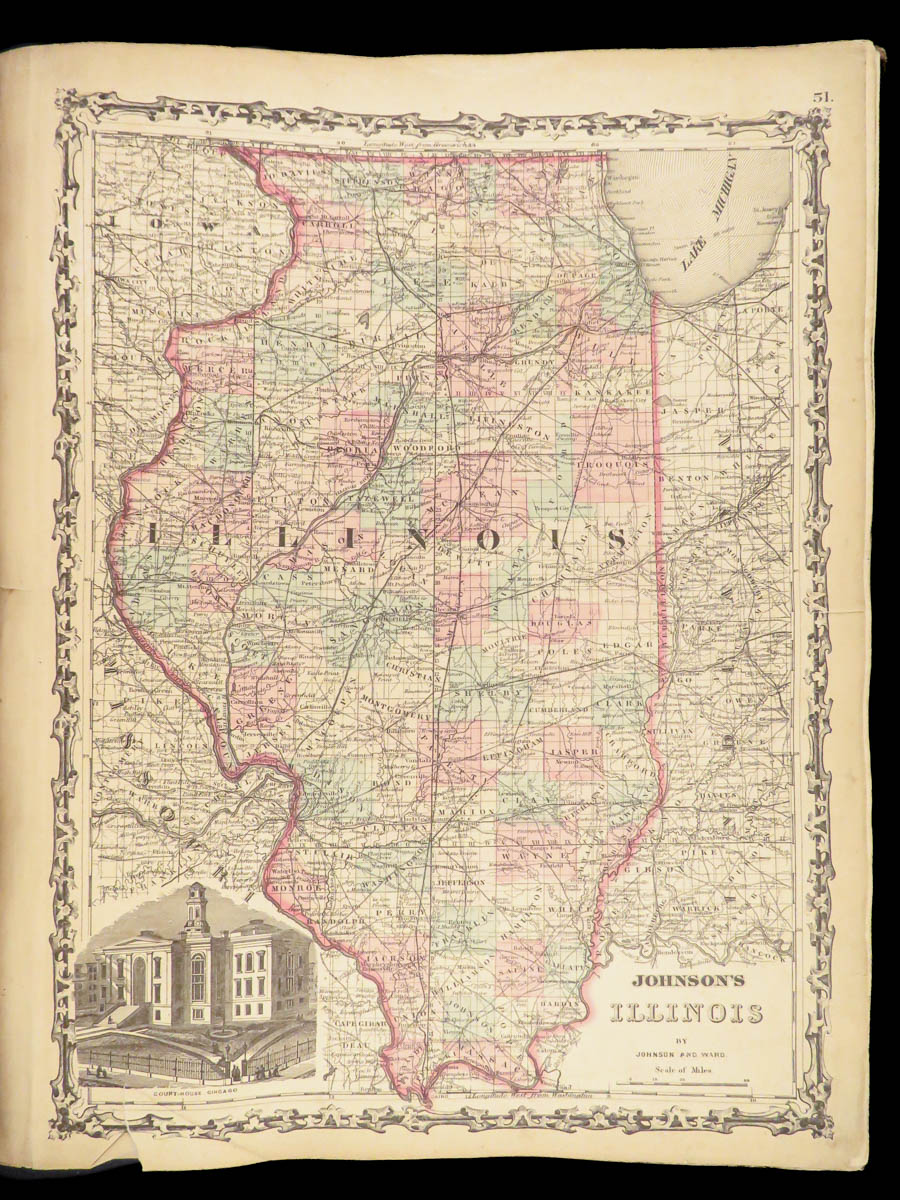
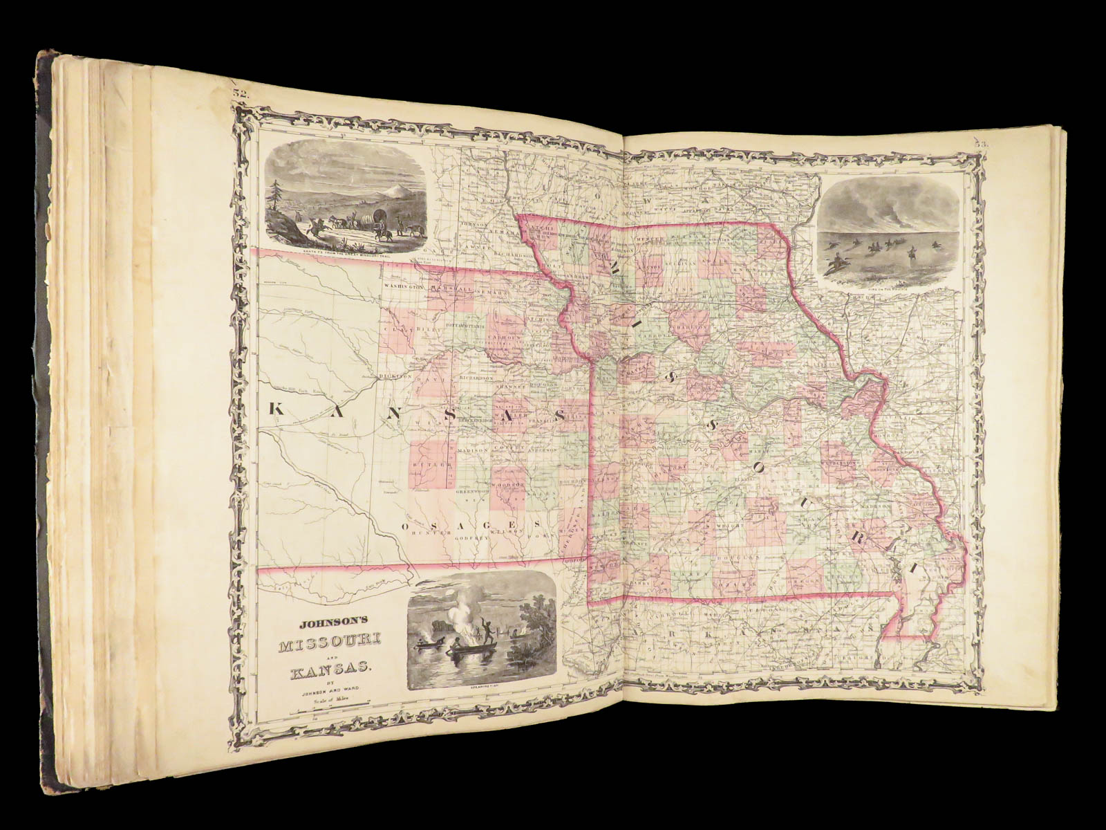
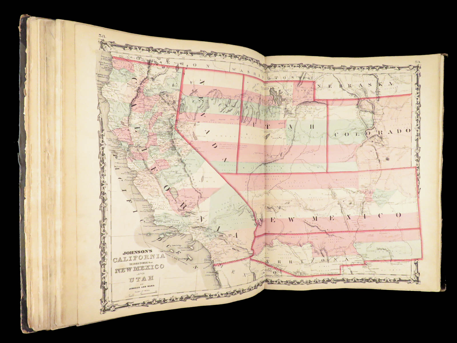
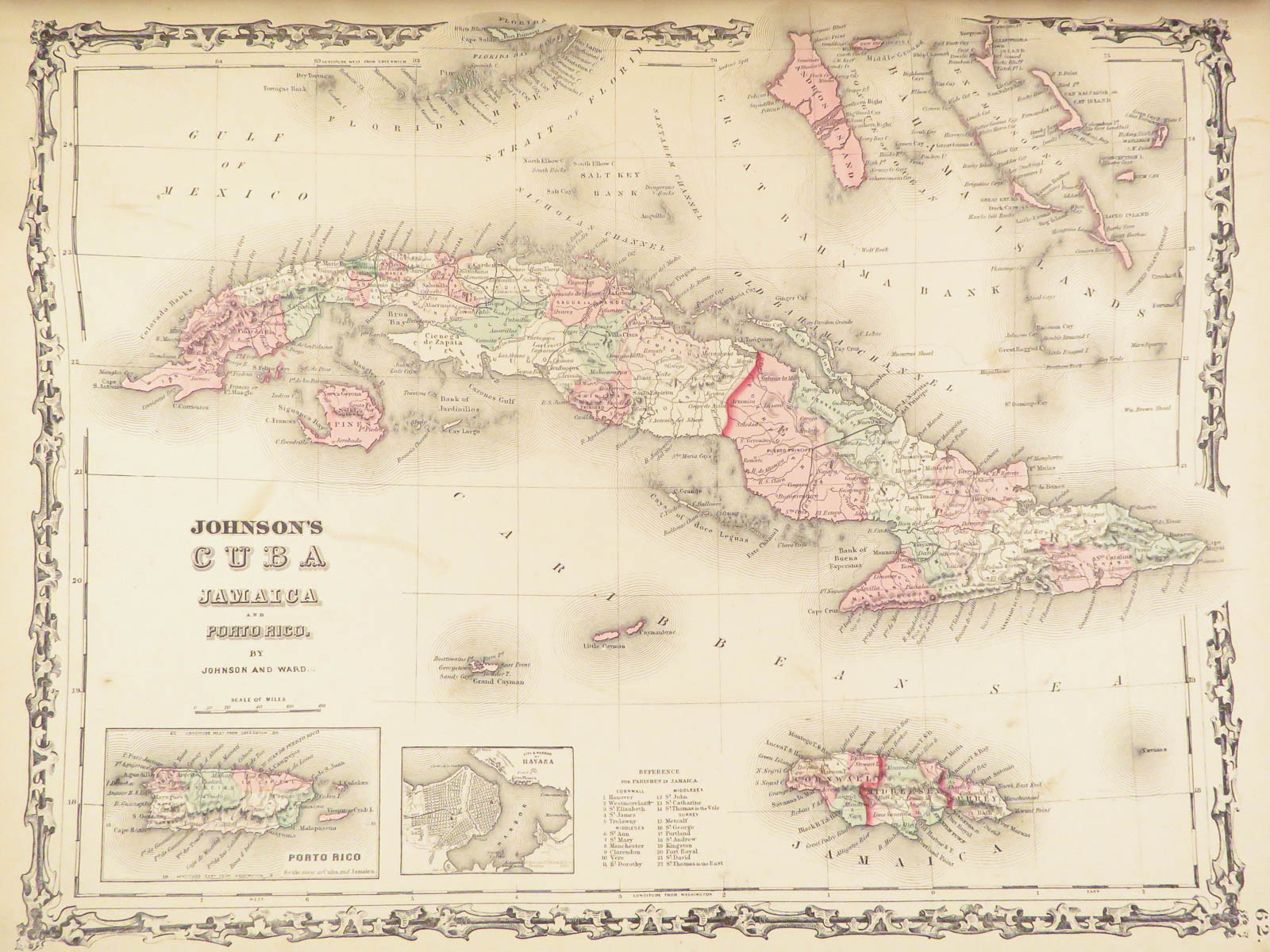
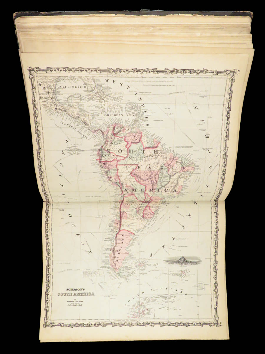
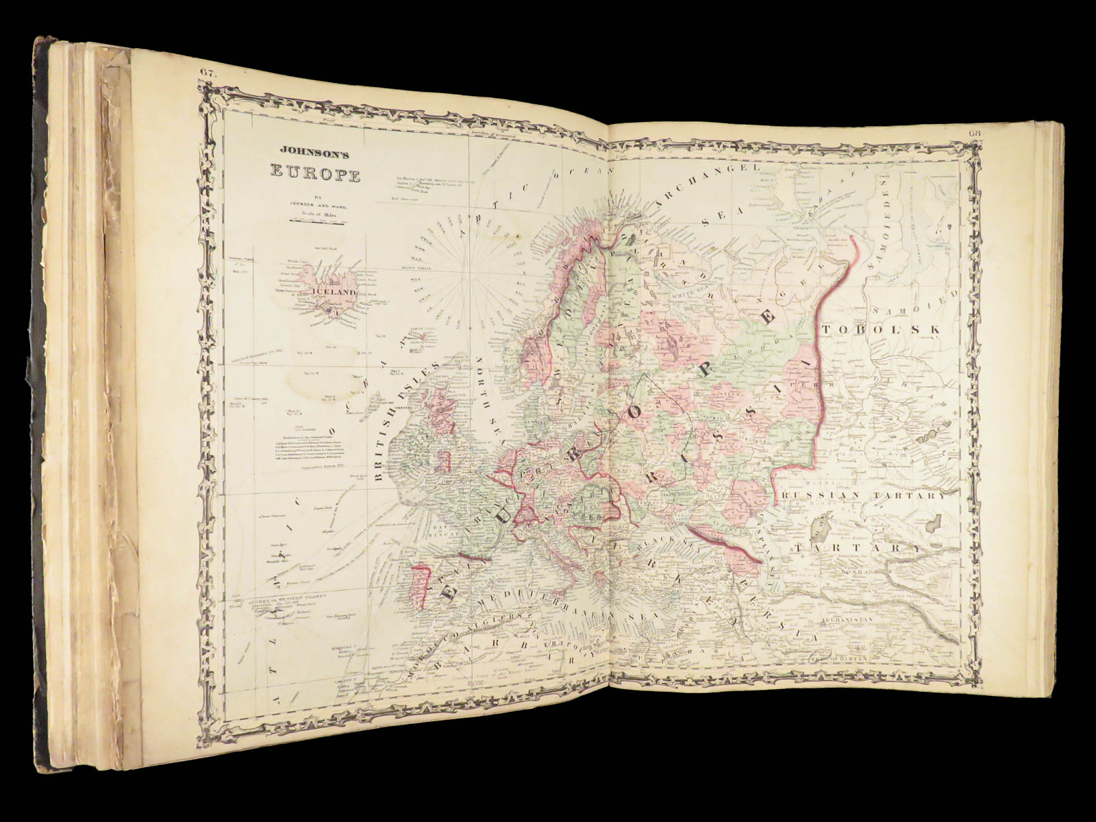
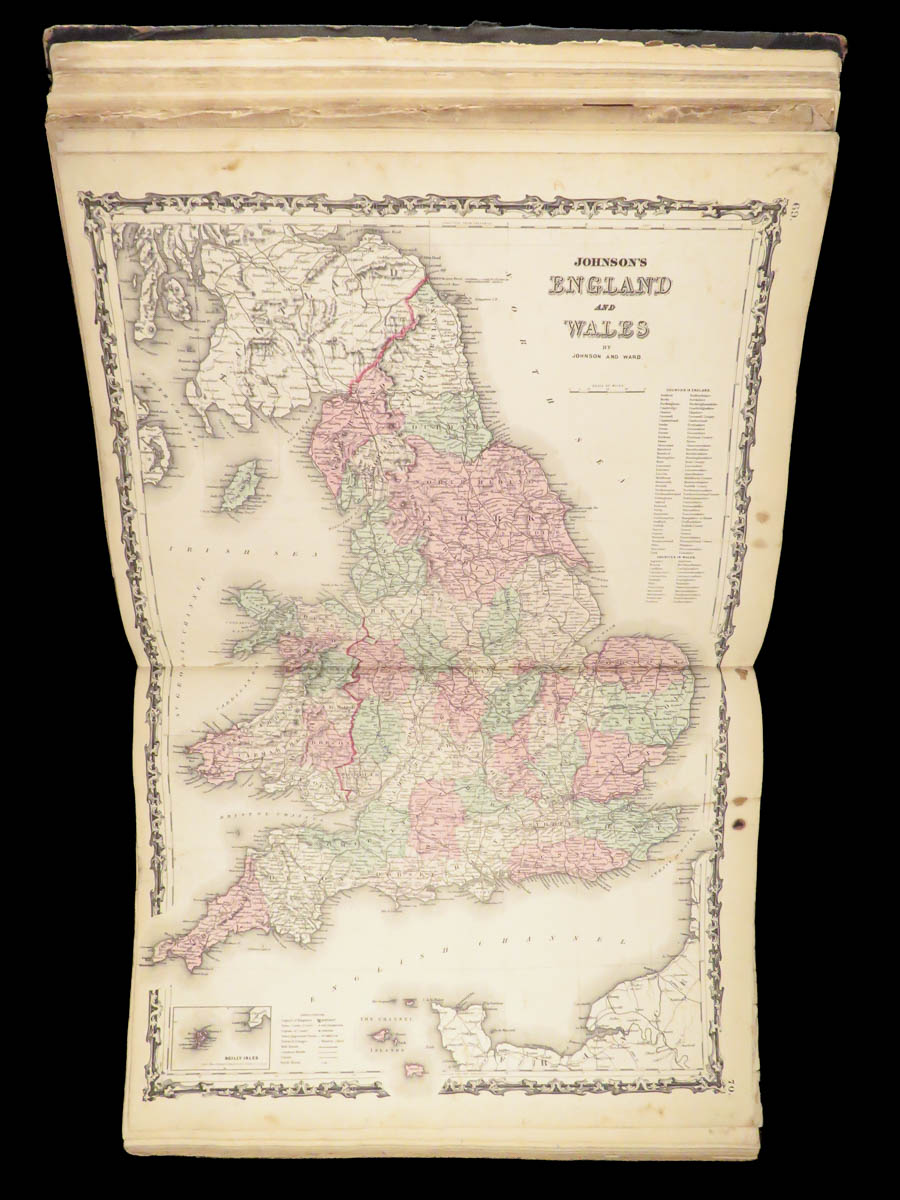
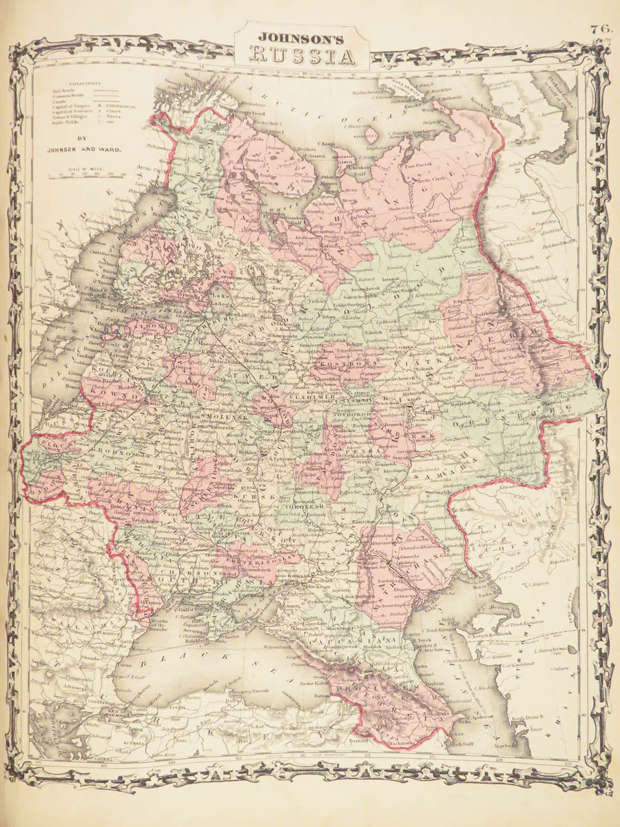
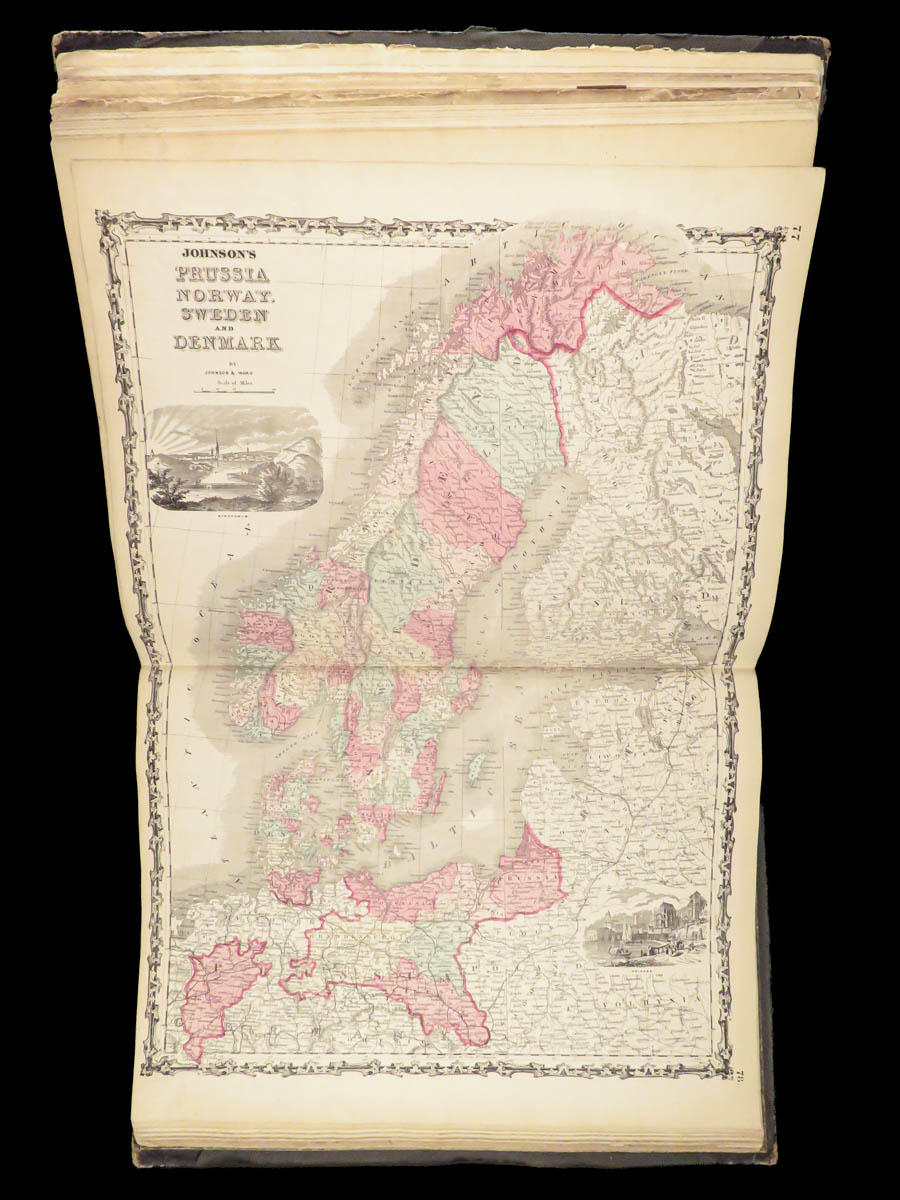
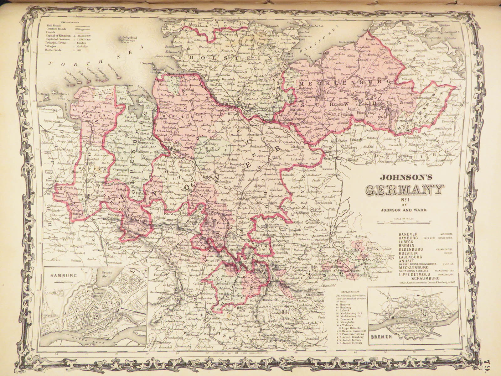
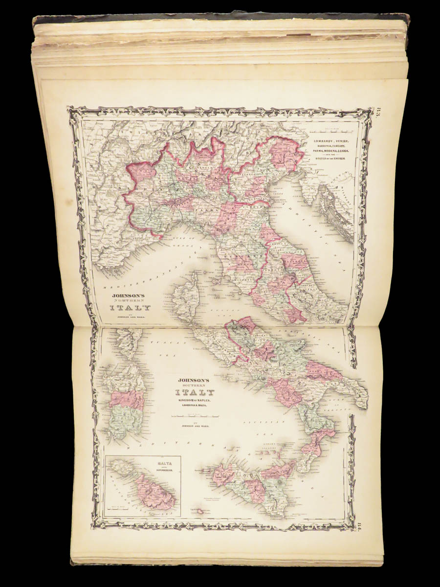
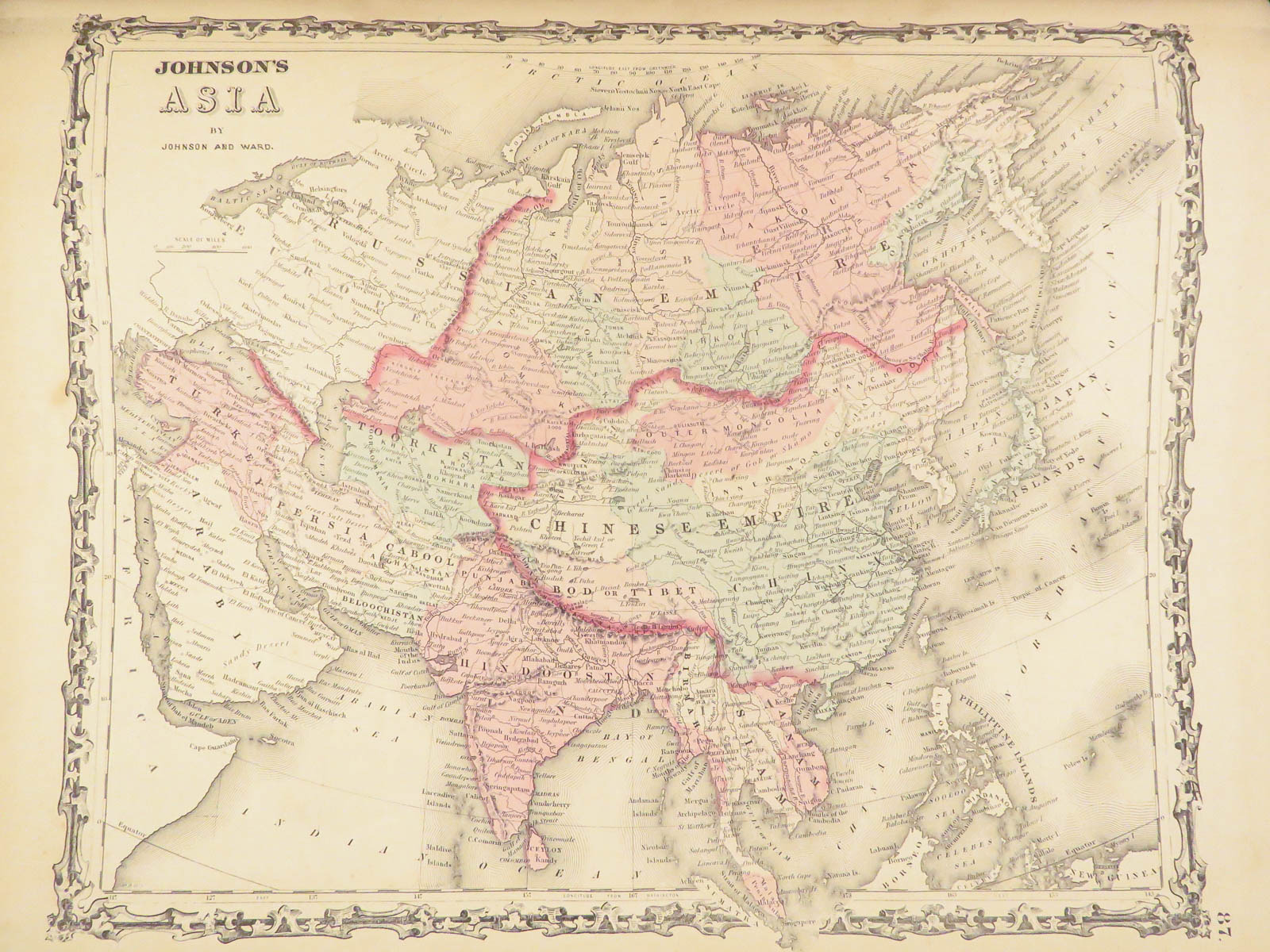
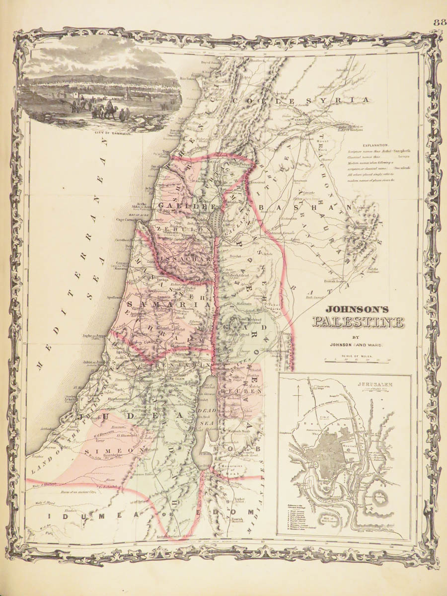
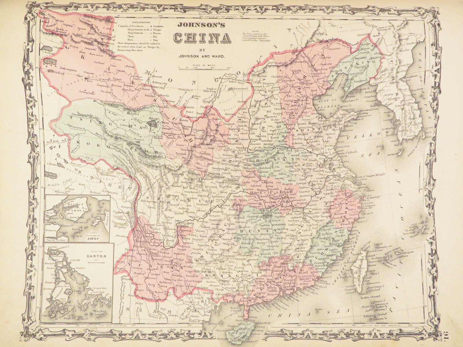
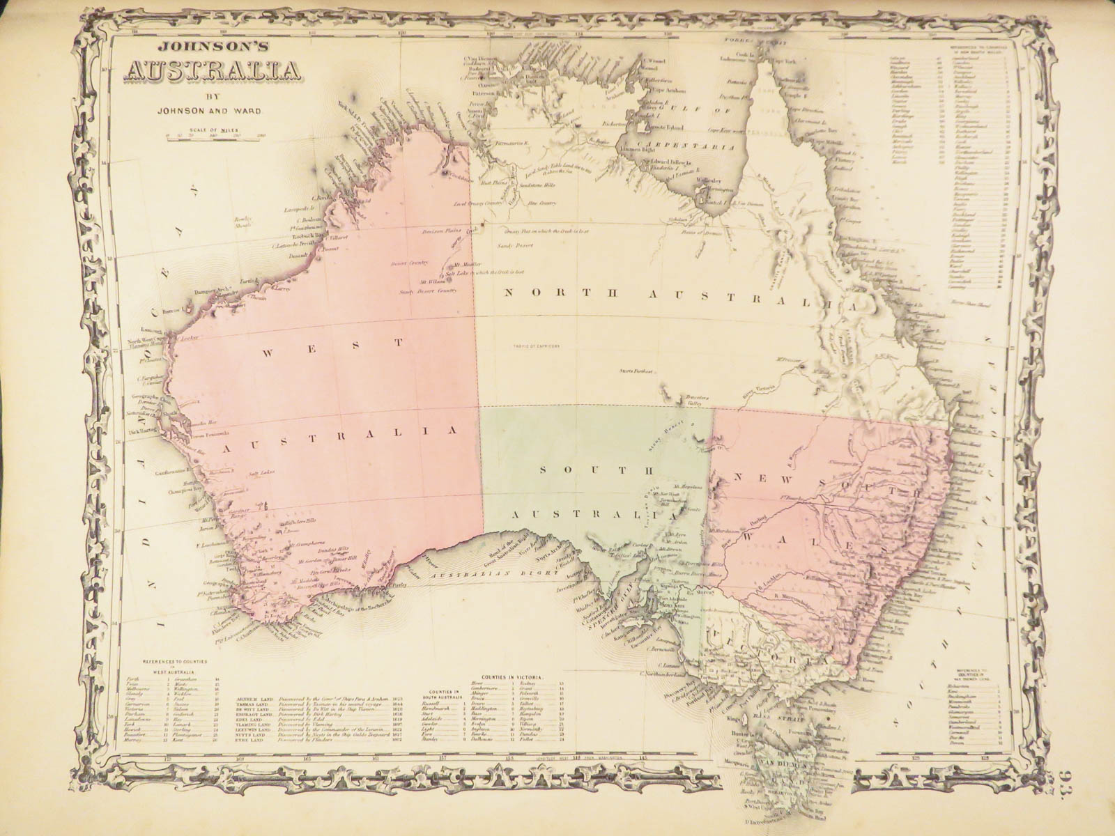
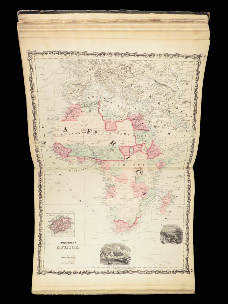
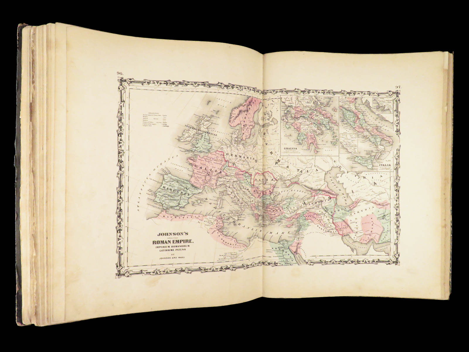
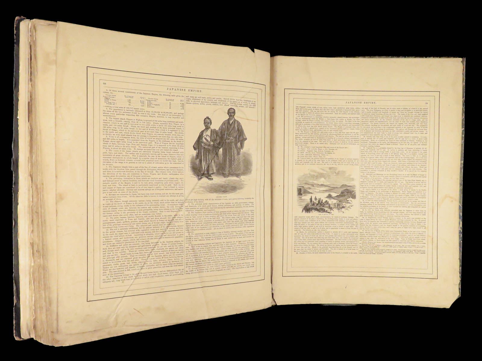
An incredible Civil War-era family atlas! This atlas consists of nearly 100 colored J.H. Colton maps of states, cities, United States, and countries of the world! Individual maps from this collection are highly sought after and can be found for sale for nearly $500 by themselves! The double-page illustration of the world maps is particularly fine. Alvin Johnson was a famous map publisher in the mid-19th-century.
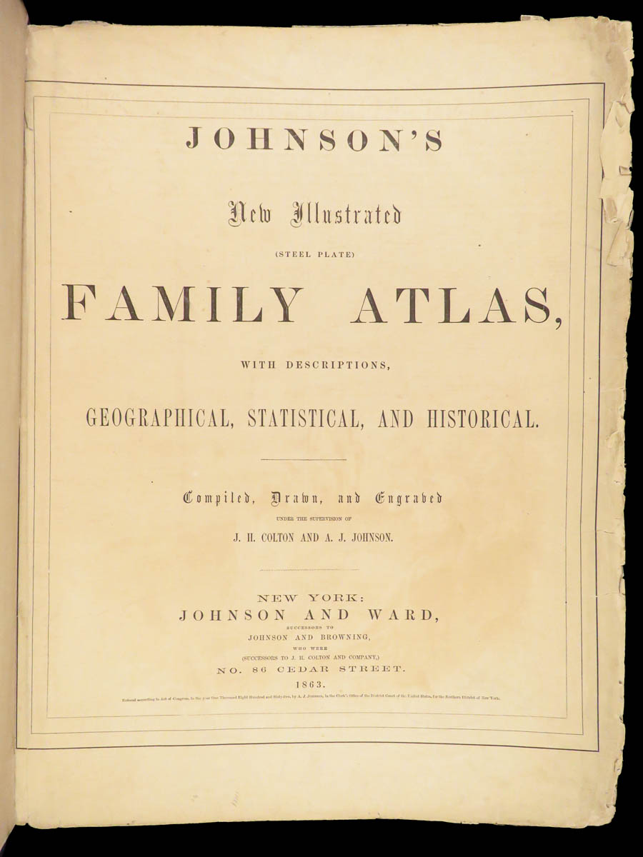
Historians speculate that J.H. Colton sold the rights to his maps to Johnson, and the result was the masterpiece! According to Geographicus, “The 1863 issue of the Family Atlas was the most unusual, it being a compilation of older Johnson and Browning maps, updated 1862 Johnson and Ward map issues, and newer 1863 maps with a revised border design.”
Item number: #27410
Price: $1950


1863 Johnson Family ATLAS Geography Color MAPS Texas California New York HUGE
“The most unusual issue of the Johnson Family Atlas!”
An incredible Civil War-era family atlas! This atlas consists of nearly 100 colored J.H. Colton maps of states, cities, United States, and countries of the world! Individual maps from this collection are highly sought after and can be found for sale for nearly $500 by themselves! The double-page illustration of the world maps is particularly fine. Alvin Johnson was a famous map publisher in the mid-19th-century.
Historians speculate that J.H. Colton sold the rights to his maps to Johnson, and the result was the masterpiece! According to Geographicus, “The 1863 issue of the Family Atlas was the most unusual, it being a compilation of older Johnson and Browning maps, updated 1862 Johnson and Ward map issues, and newer 1863 maps with a revised border design.”
Item number: #27410
Price: $1950
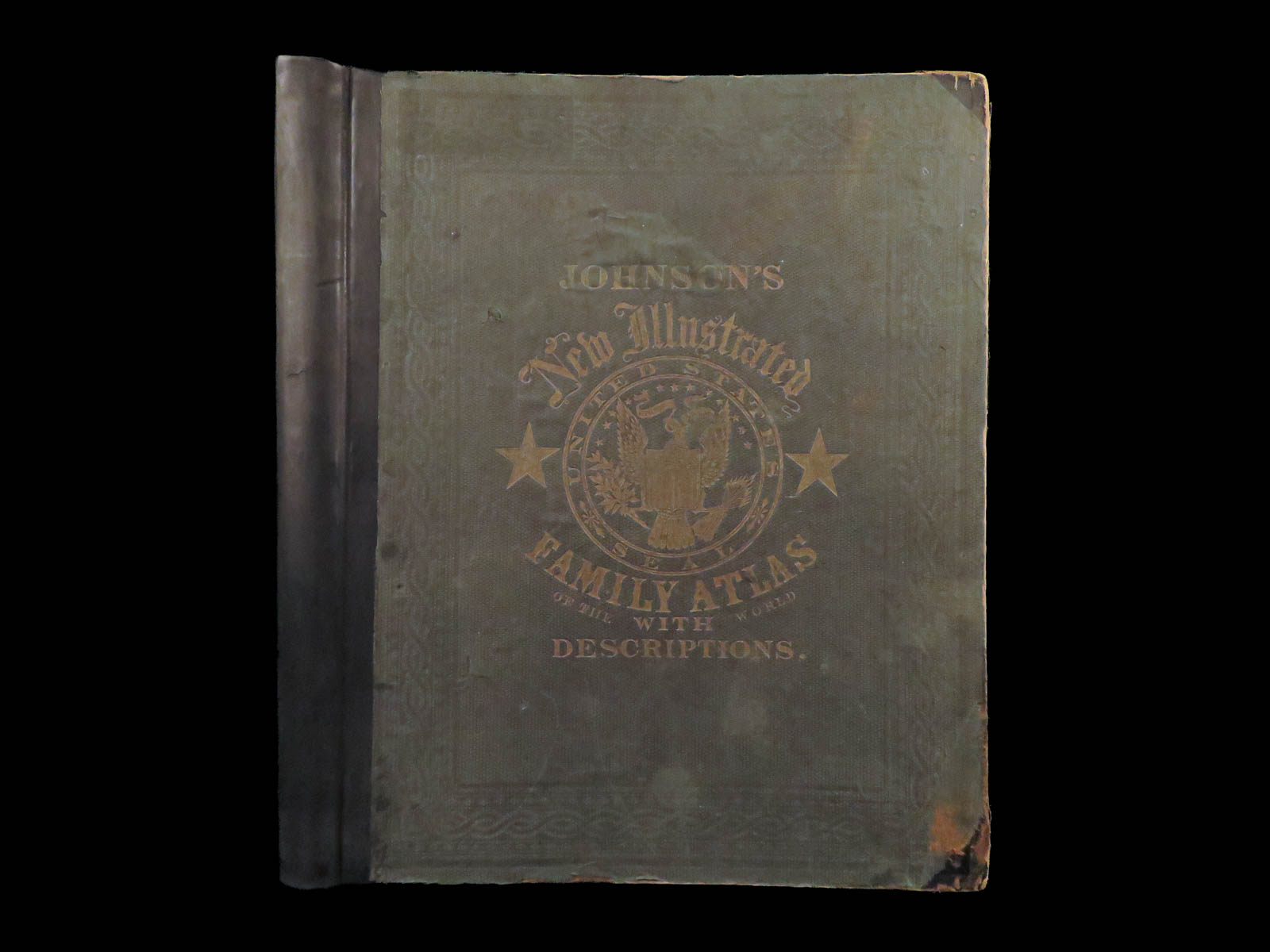
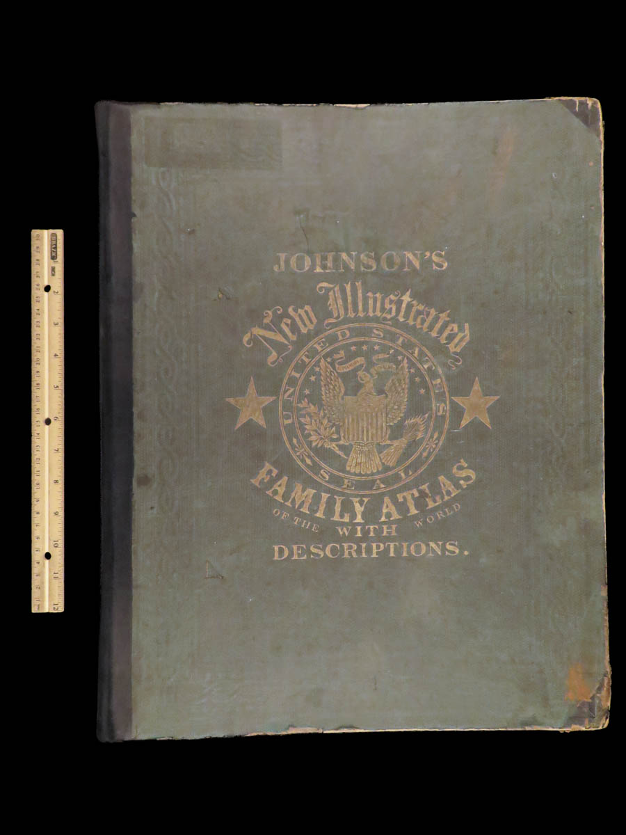
JOHNSON, Alvin Jewett.
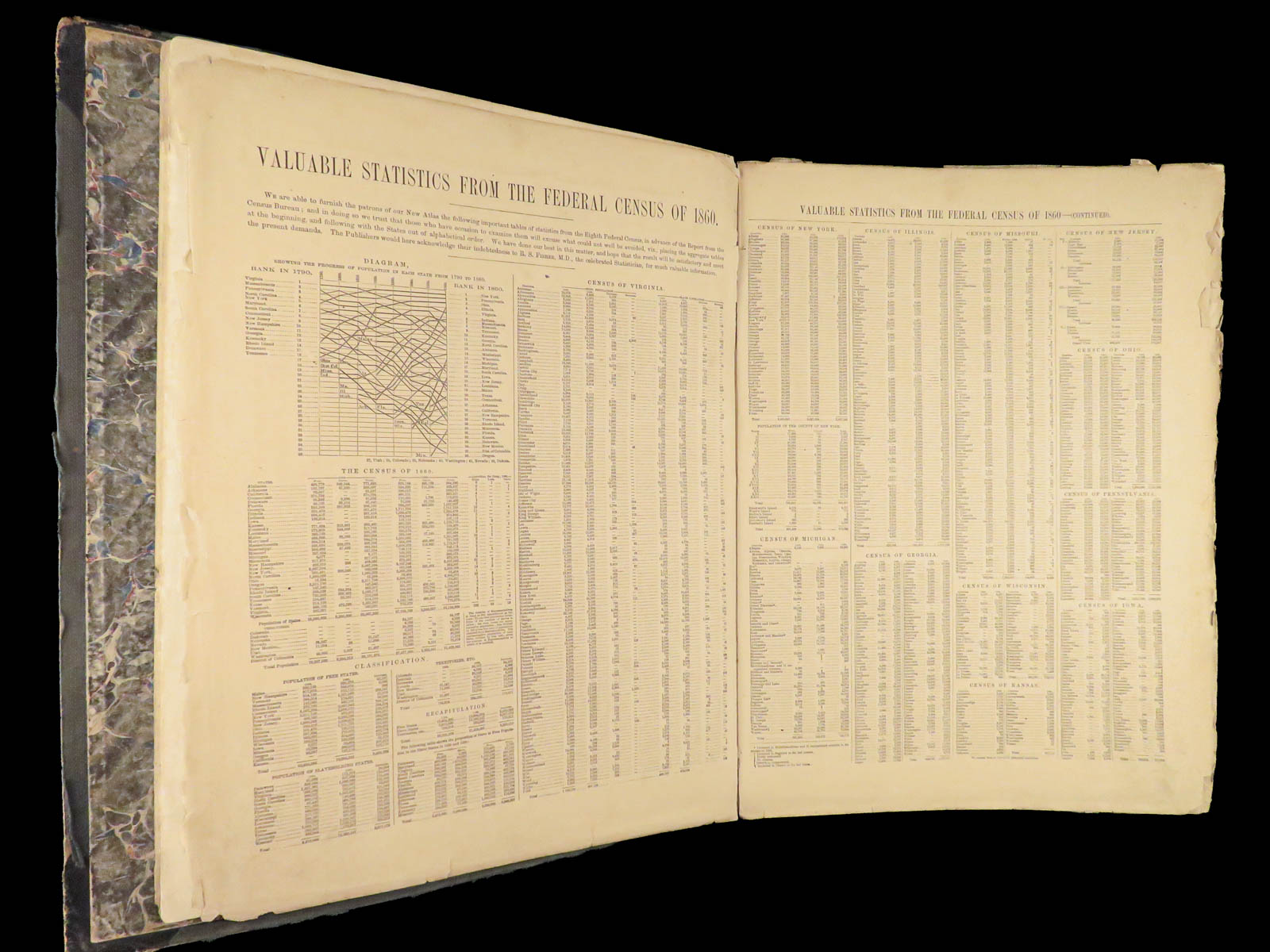
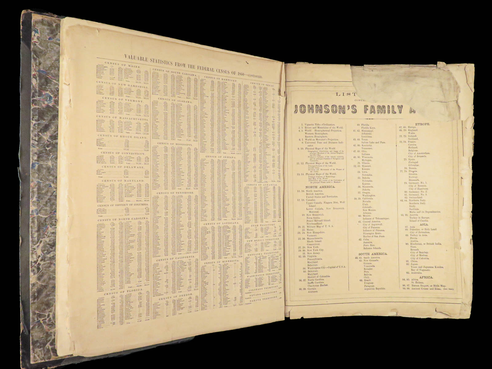
Johnson’s new illustrated family atlas: with physical geography, and with descriptions, geographical, statistical and historical, including the latest federal census.
New York: Johnson and Ward, 1863.
Details:
- Collation:
- [2], 99, [1]
- Some pages bound out of order, but present
- Illustrated throughout, 97 plates
- Wanting maps 13-14
- Language: English
- Binding: Leather; tight and secure
- Size: ~18.5in X 15in (48.5cm x 38cm)
- [2], 99, [1]
Our Guarantee:
Very Fast. Very Safe. Free Shipping Worldwide.
Customer satisfaction is our priority! Notify us with 7 days of receiving, and we will offer a full refund without reservation!
Categories
Language Study & Reference
Maps
Authors
JOHNSON, Alvin Jewett
Printing Date
19th Century
Language
English
Binding
Leather
Book Condition
Excellent
Other Books you might like...
-
Sale!
 Add to cart
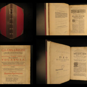
1687 Spelman Glossary Archaiologicum English LAW Philology Language Dugdale BEST
Original price was: $750.00.$650.00Current price is: $650.00. -
Sale!
 Add to cart
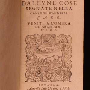
1573 Ragione d’Alcune Cose Castelvetro on Annibal Caro Poetry Italian Language
Original price was: $599.00.$550.00Current price is: $550.00. -
Sale!
 Add to cart
1835 Life of Samuel Johnson by James Boswell FAMOUS English Biography 10v SET
Original price was: $950.00.$795.00Current price is: $795.00. -
Sale!
 Add to cart
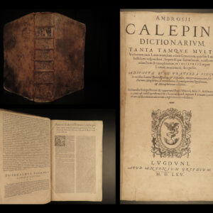
1565 FAMOUS Calepino Dictionary Lexicon Language FOLIO Woodcuts Aldus Calepinus
Original price was: $1,500.00.$1,250.00Current price is: $1,250.00.