1855 US Coastguard Reports | 1st ed Navigation Surveys | Lighthouses 50+ MAPS

American government reports from the 19th-century are some of the most desirable works of their kind. Printed by A.O.P. Nicholson, these reports described the American west and the development of civilization throughout the United States.
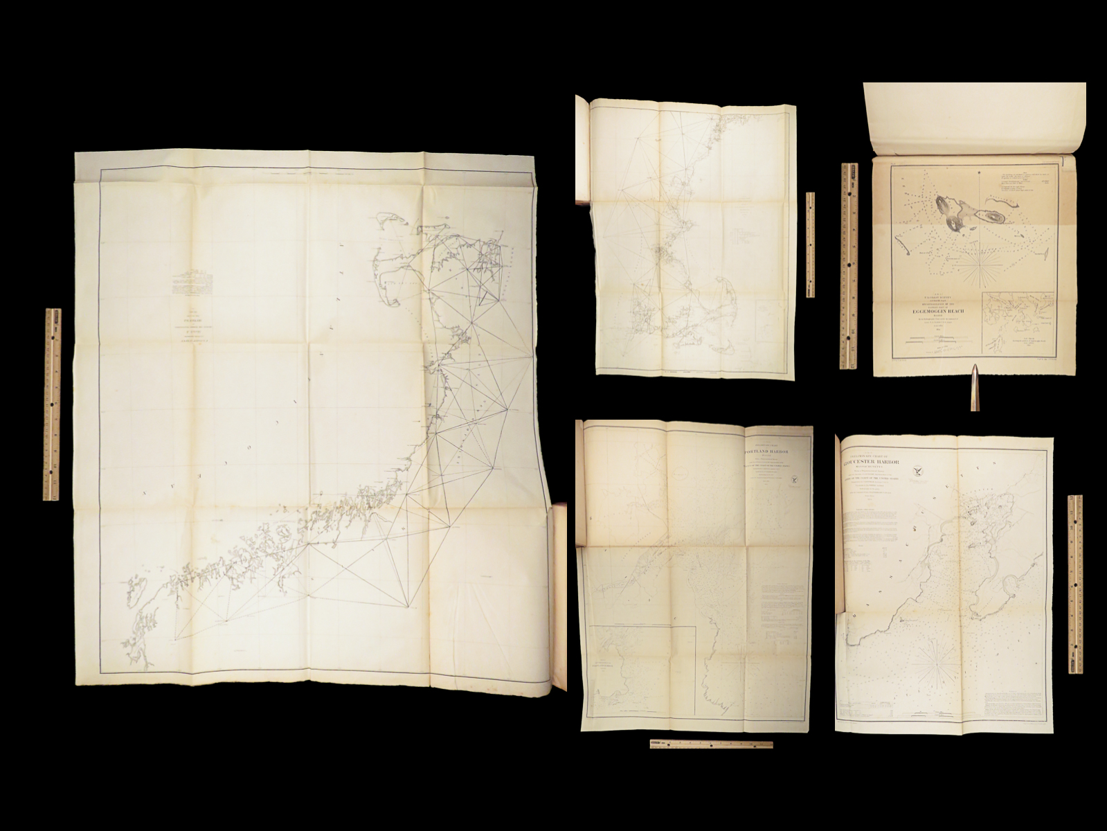
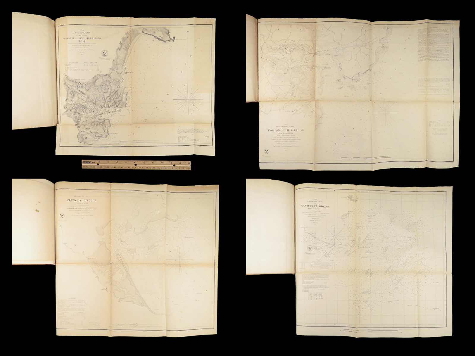
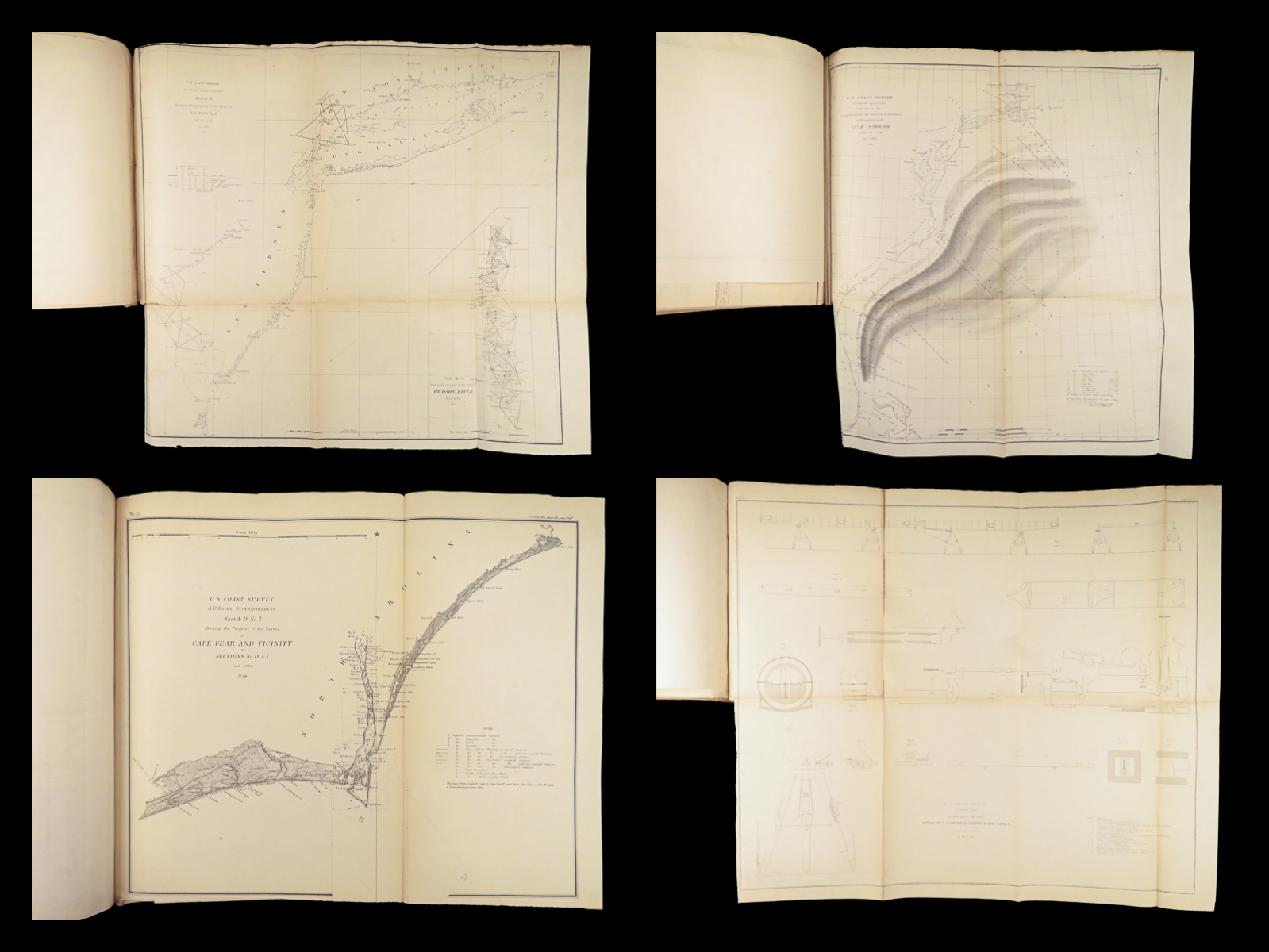
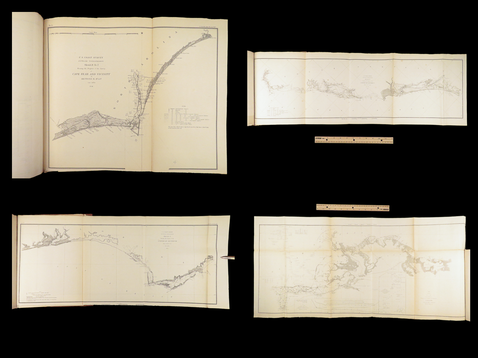
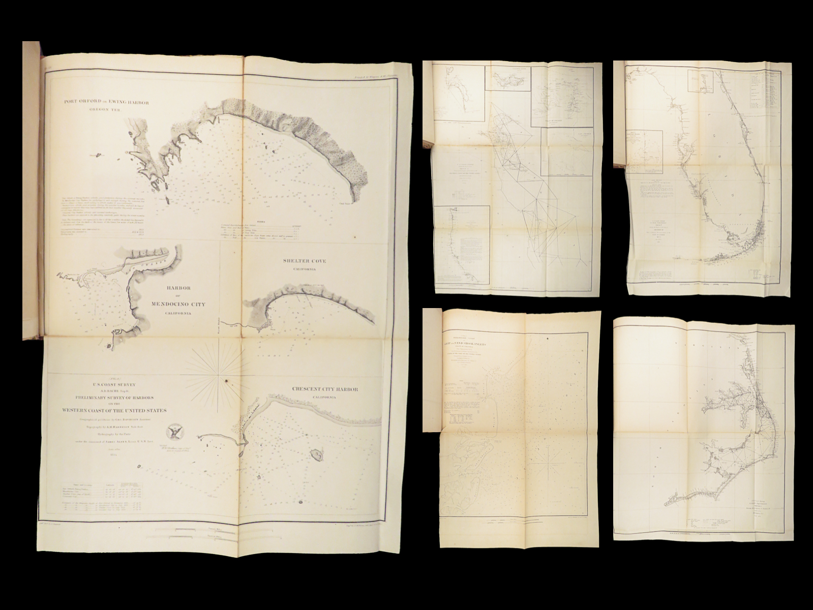
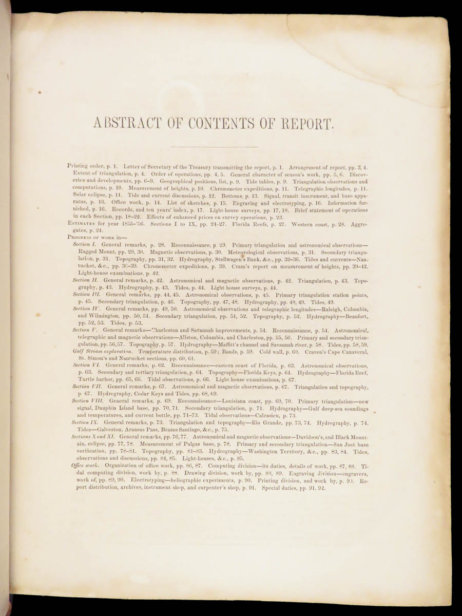
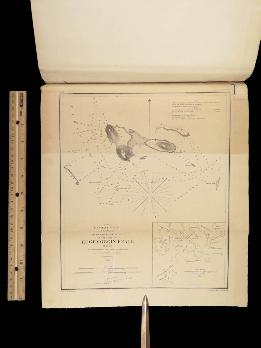
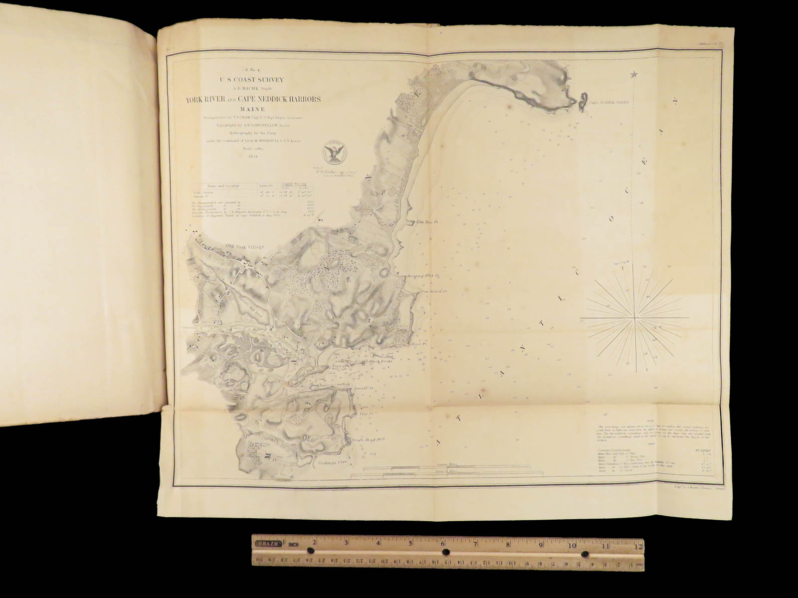
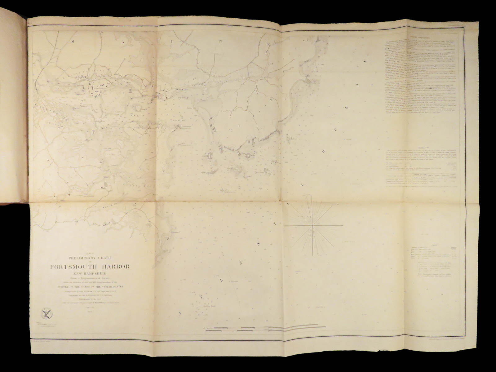
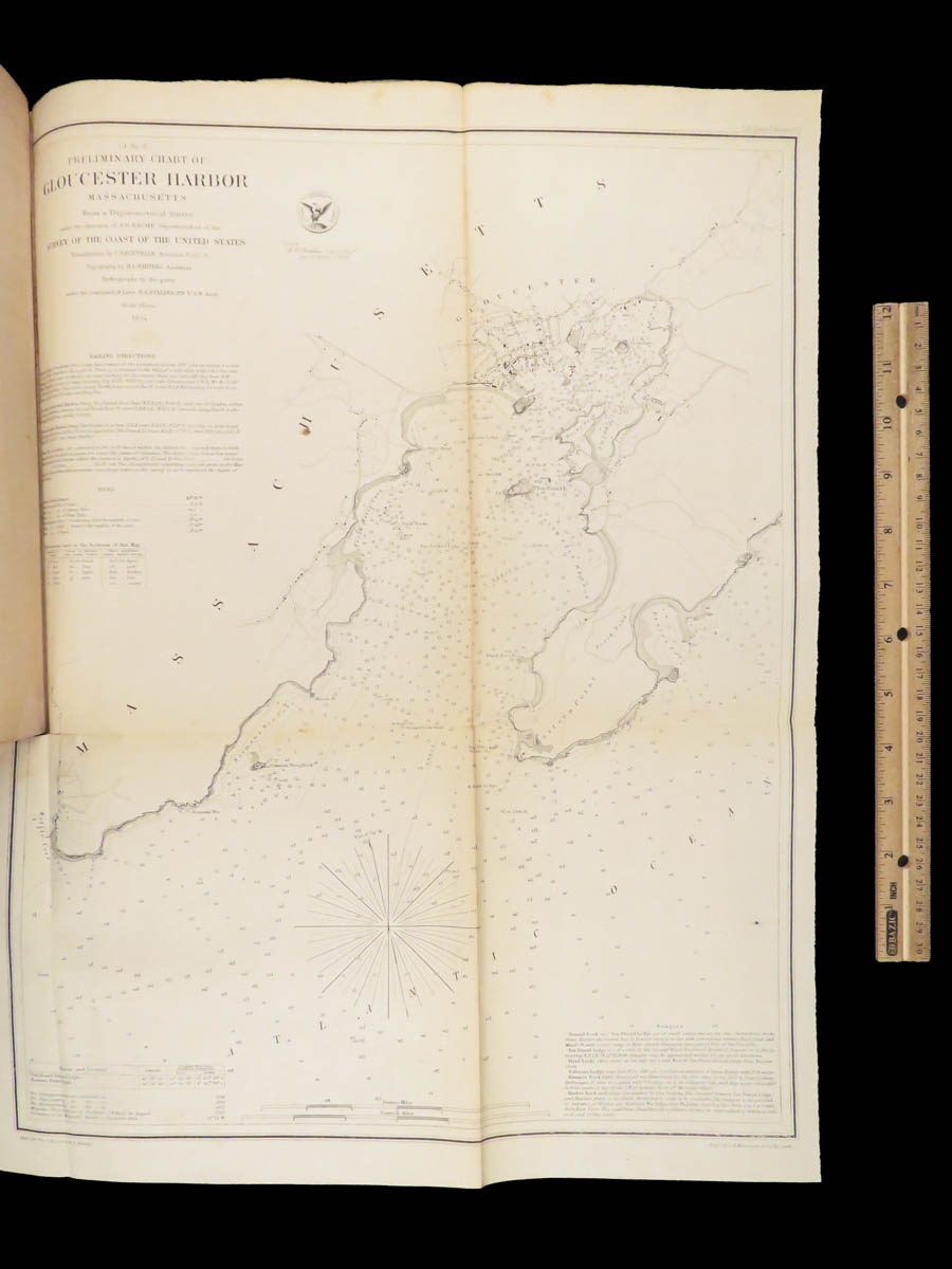
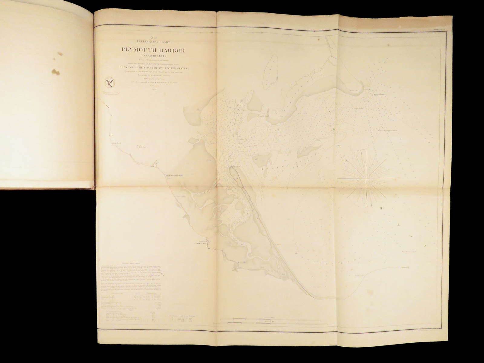
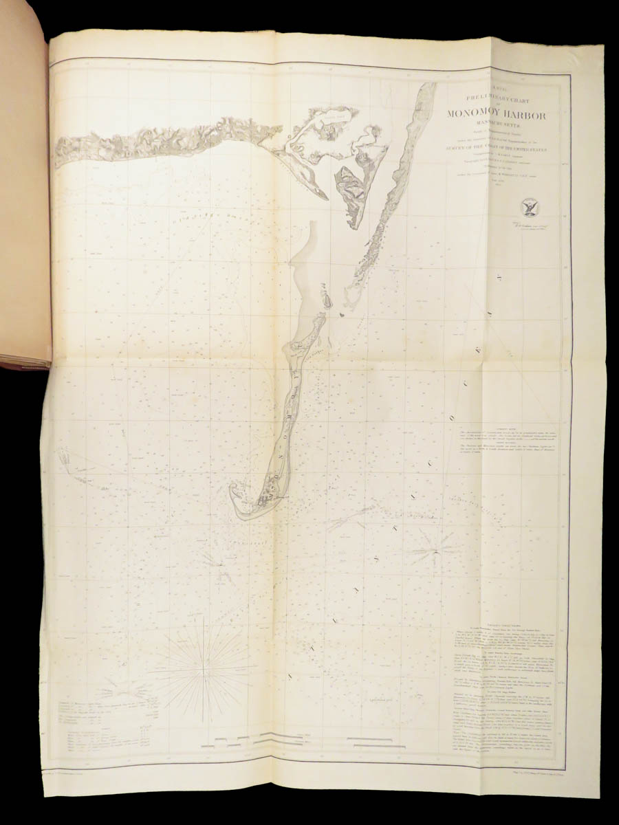
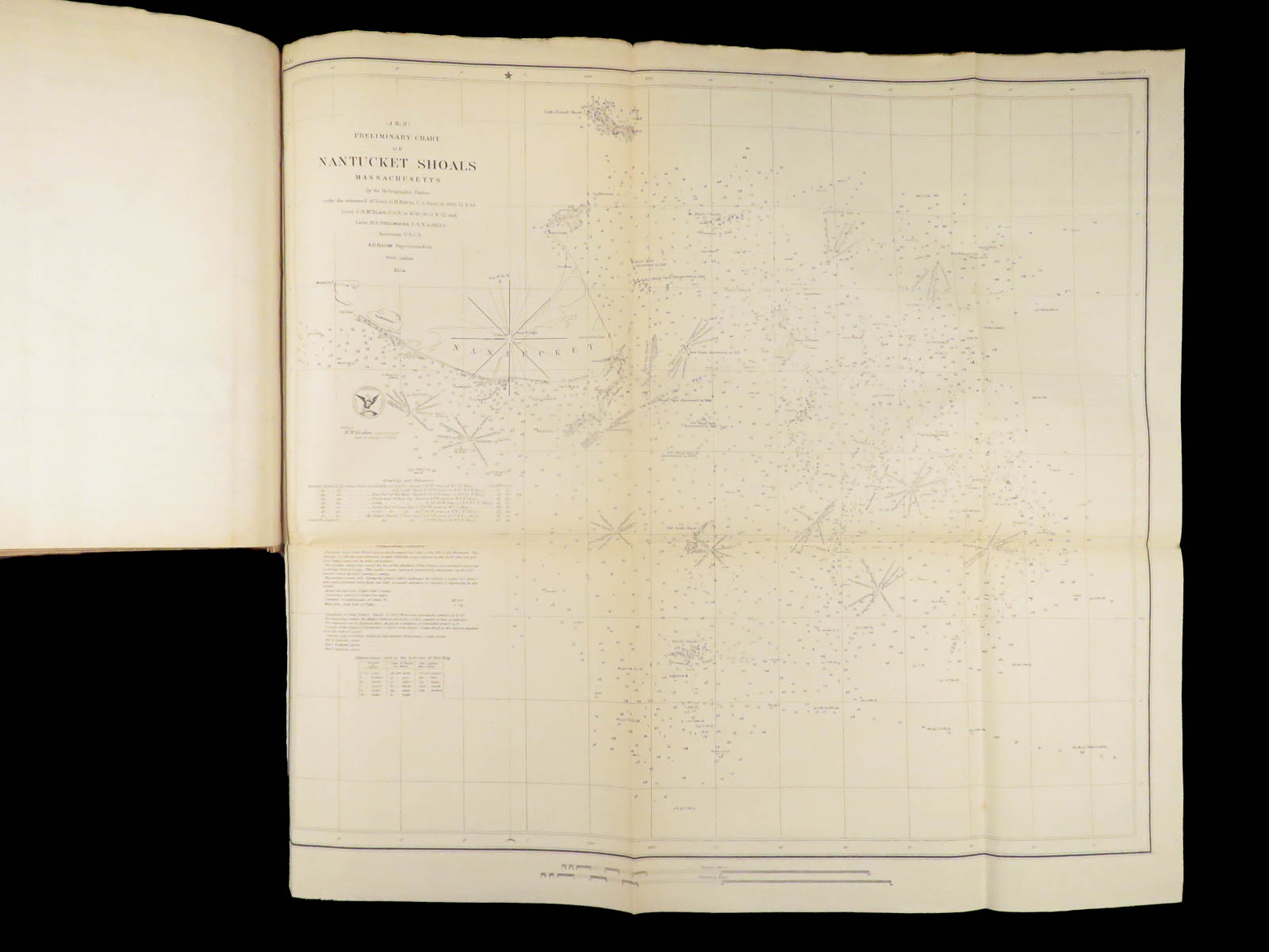
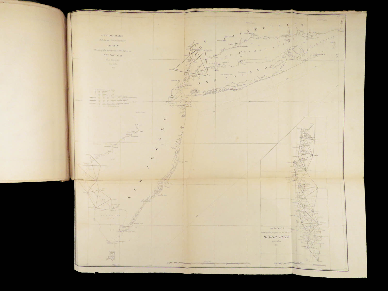
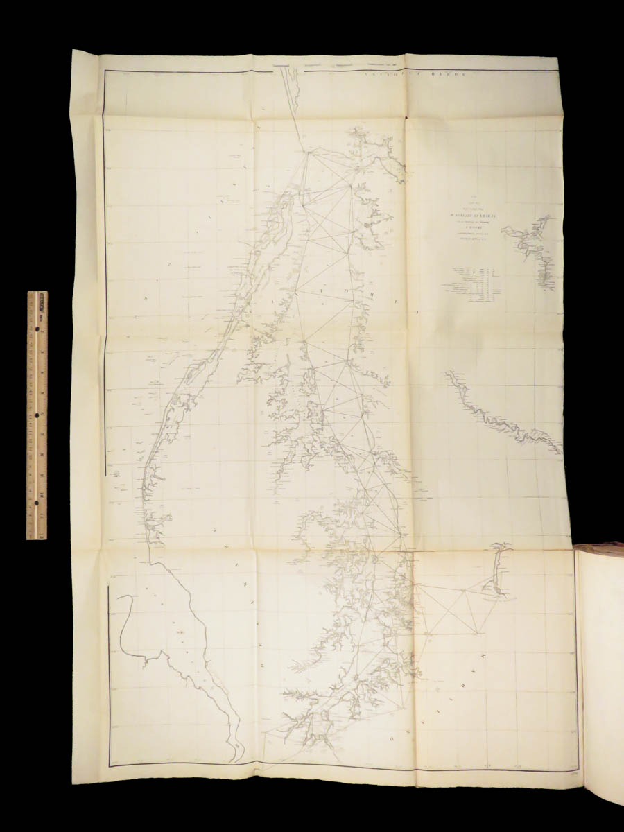
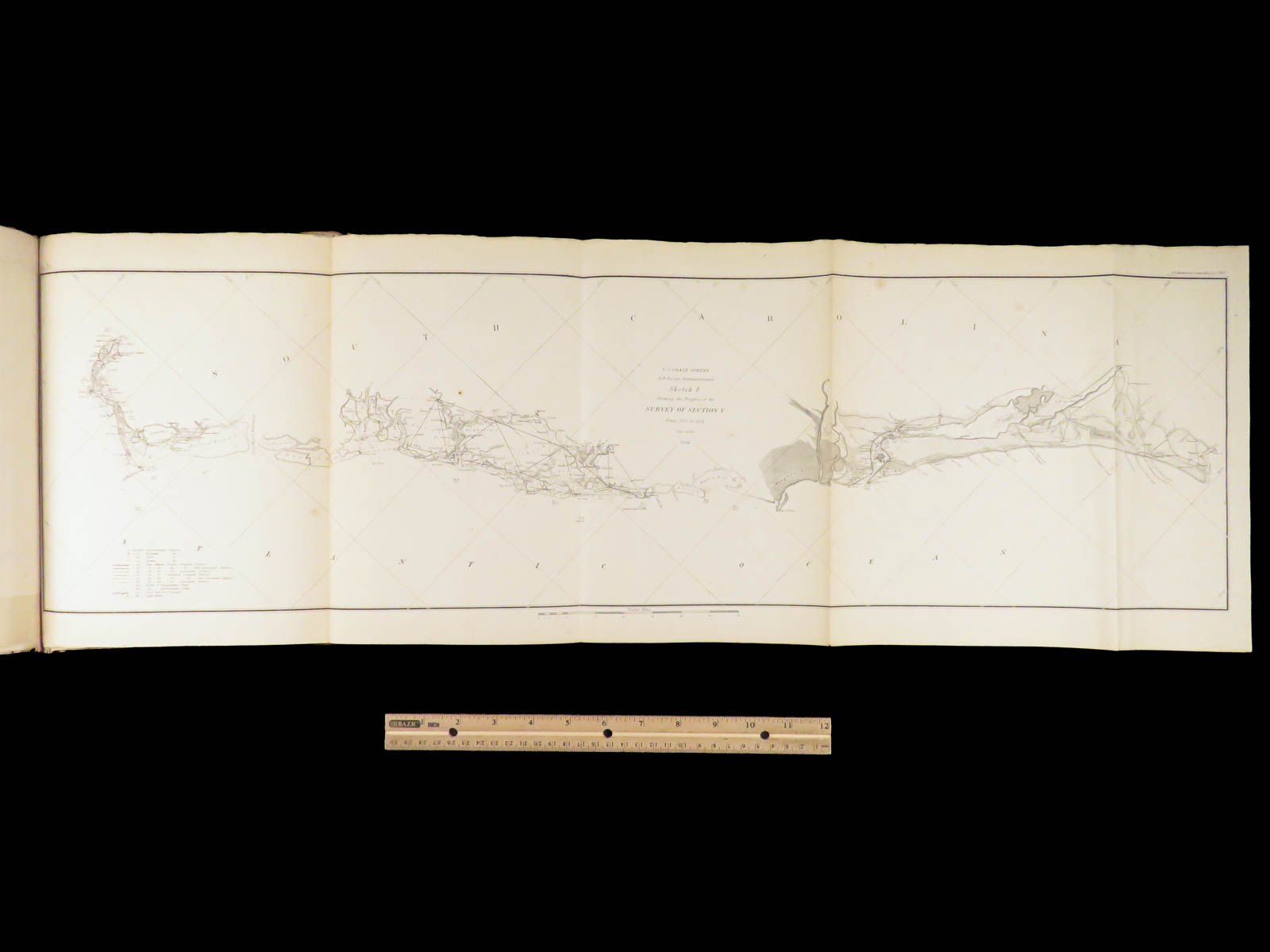
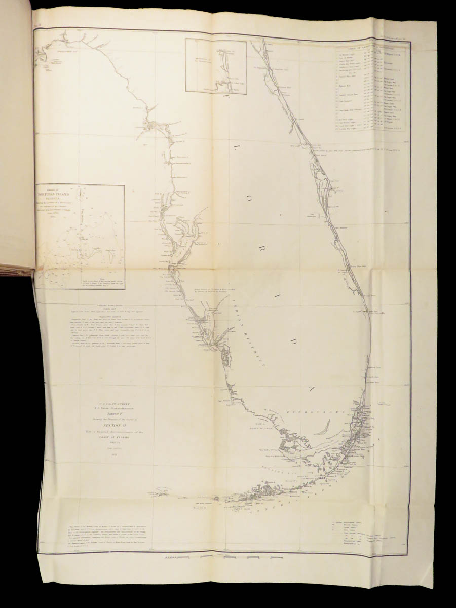
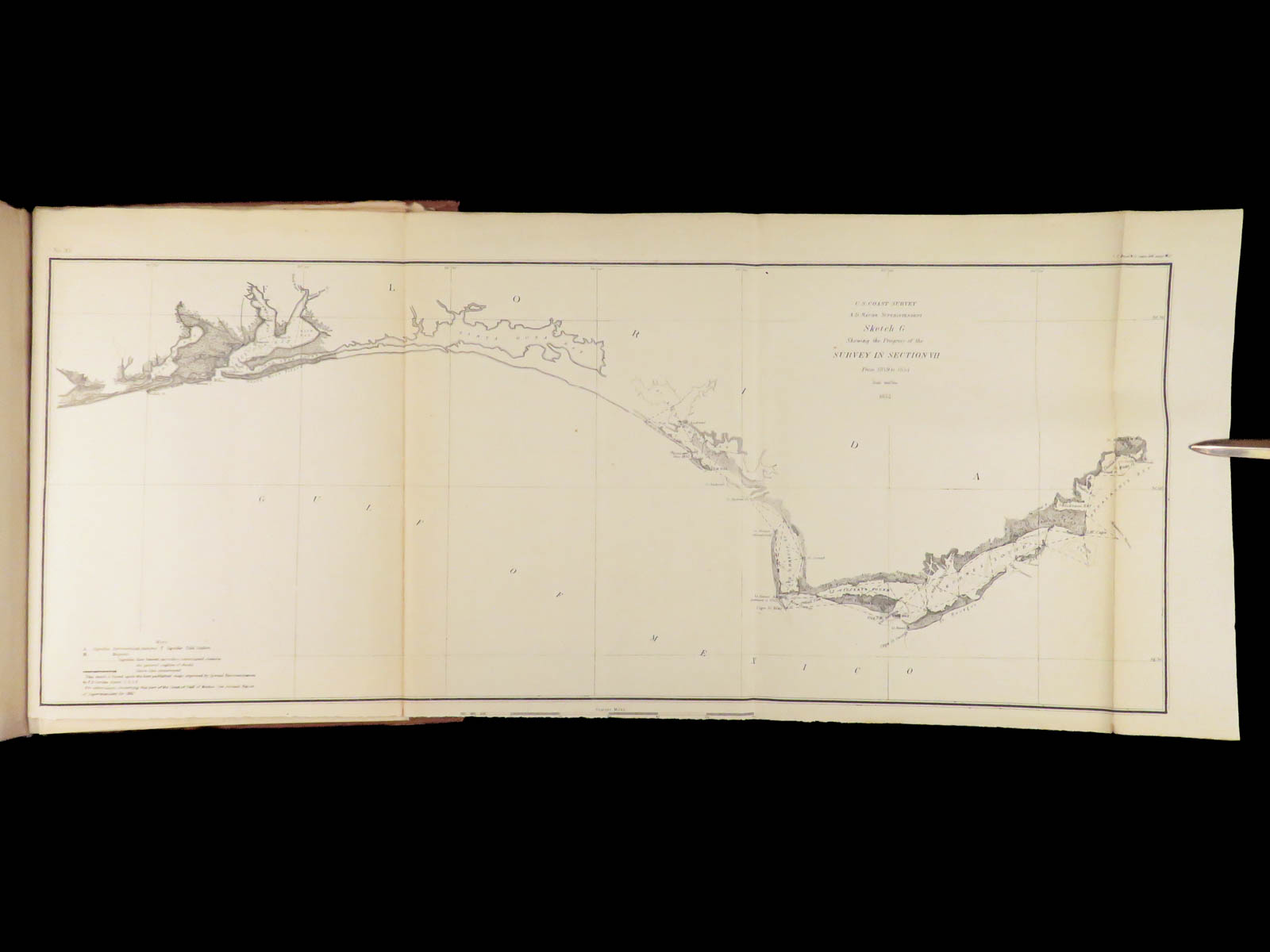
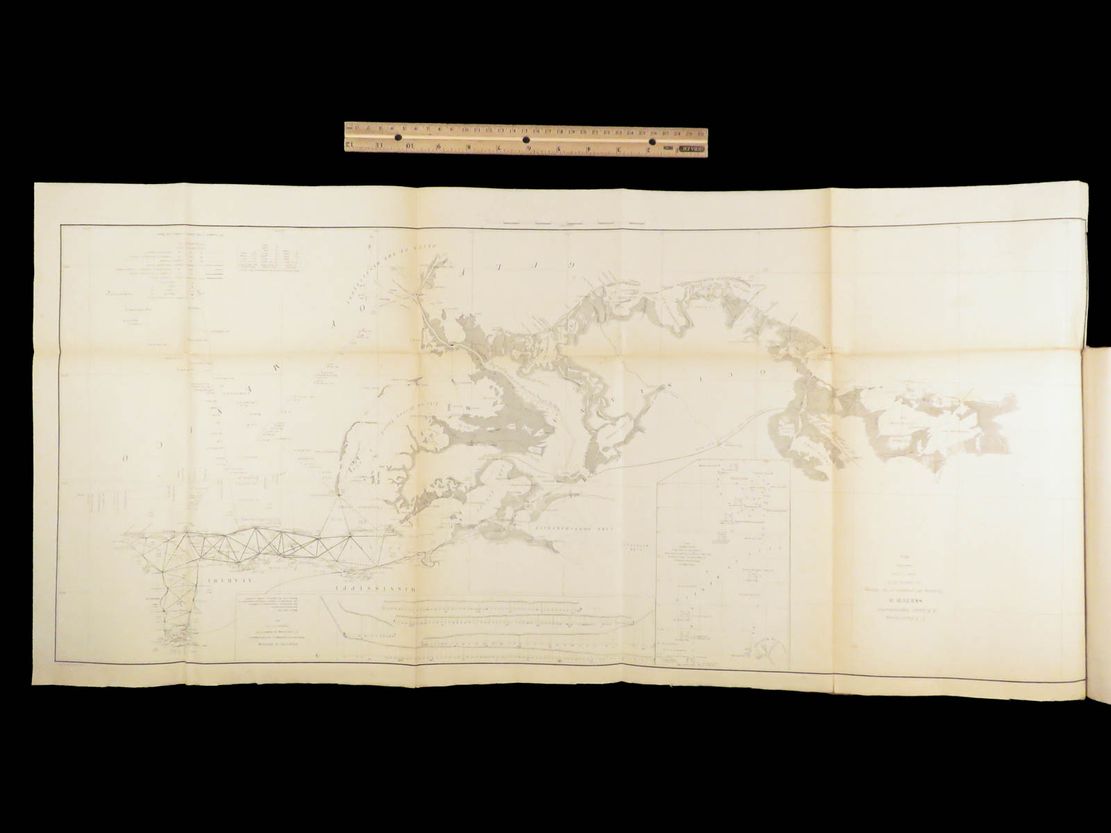
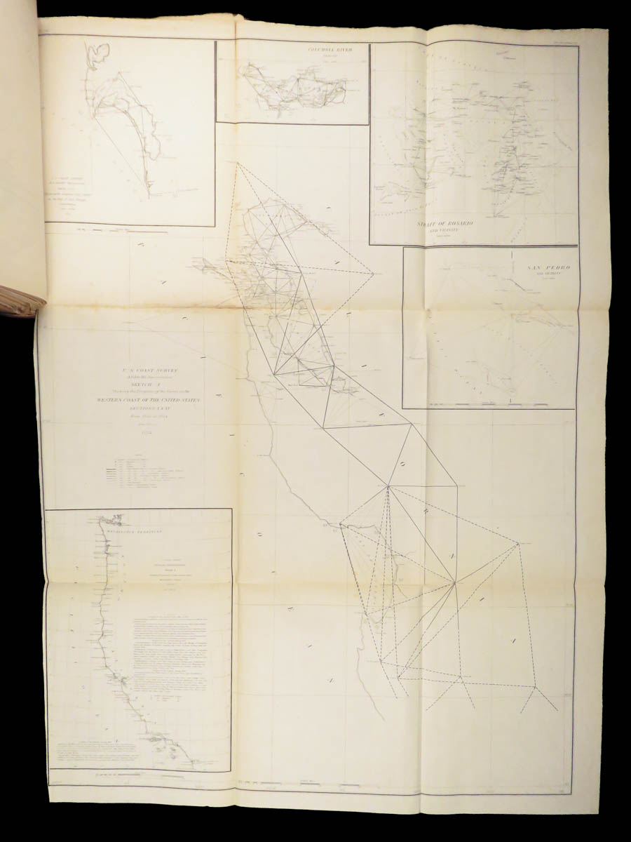
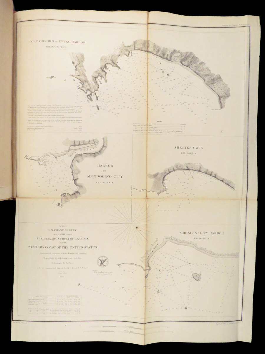
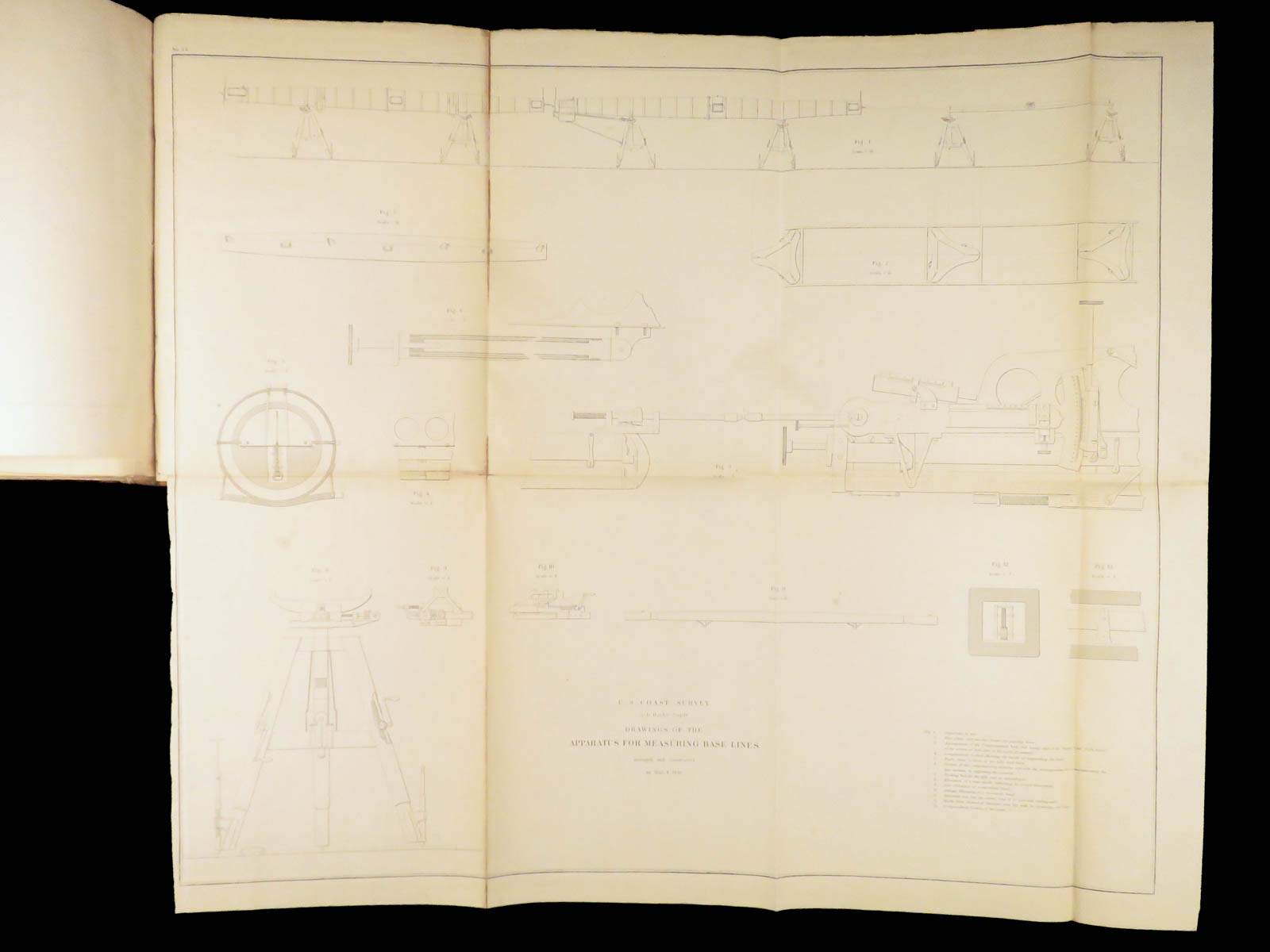
The 1854 “Coast Survey” is one of the most valuable because of the 50+ large, folding maps! The contents describe observations from American ports, harbors, and coasts describing locations and events such as:
- The Florida Keys, line marking surveys and expeditions
- Texas coasts and navigation through the Gulf and Galveston Bay
- River reports, Pajaro and Salinas rivers – notable river features
- Geology of the Colorado River
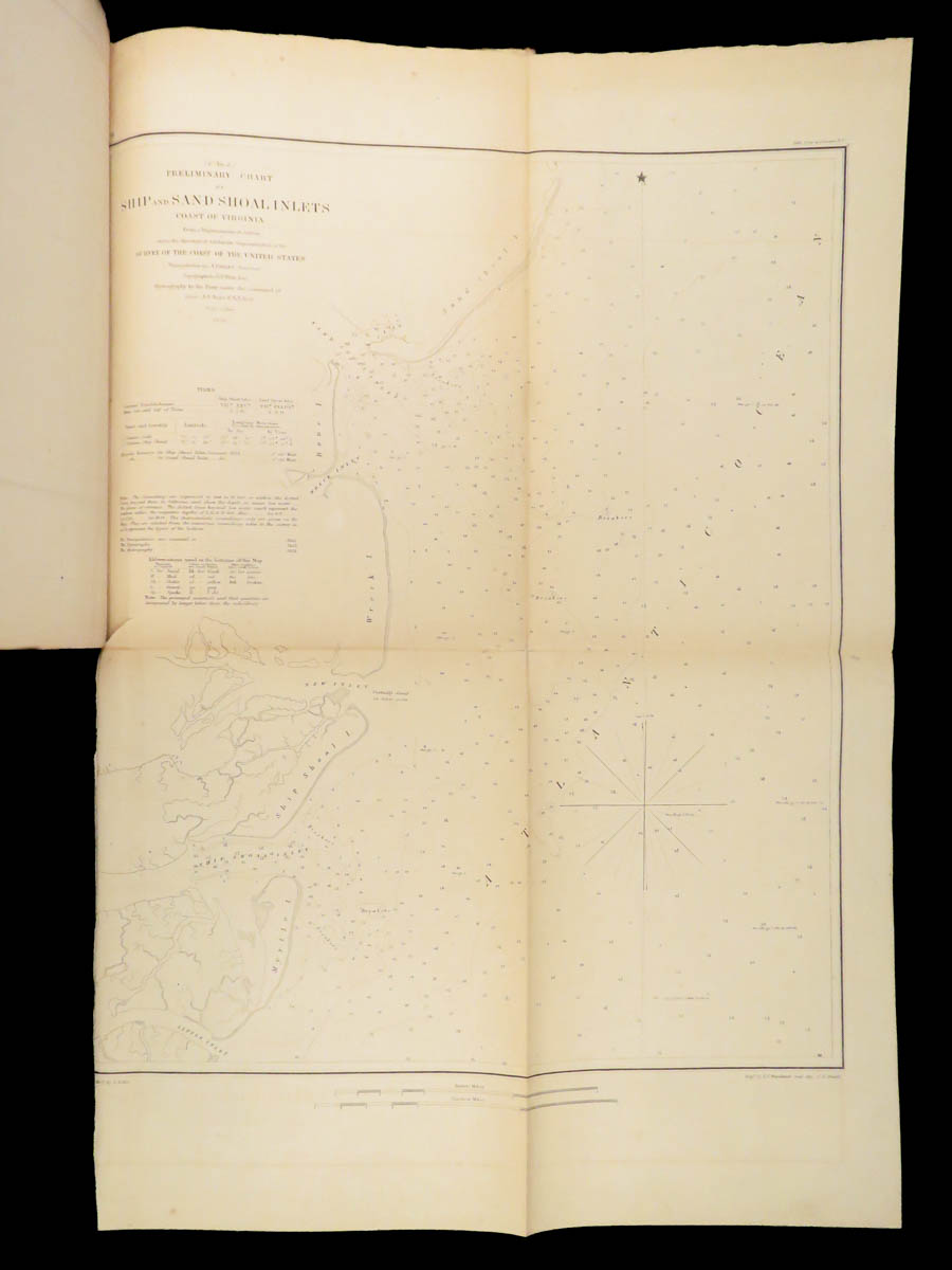
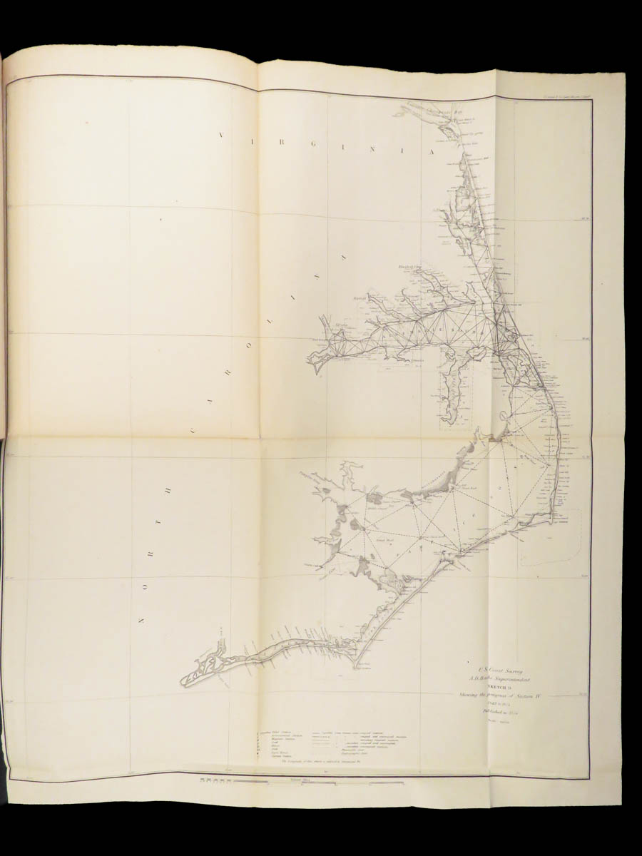
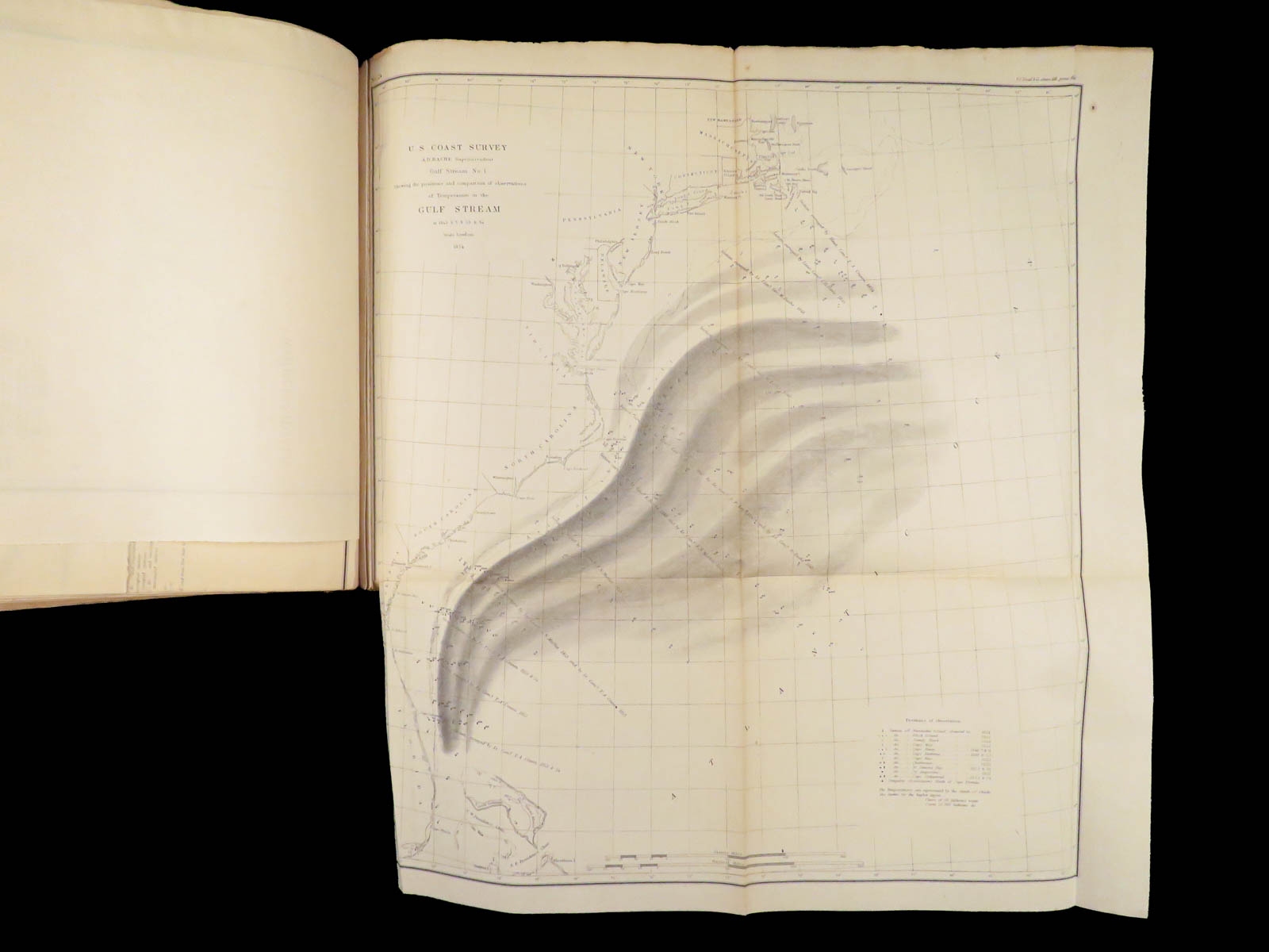
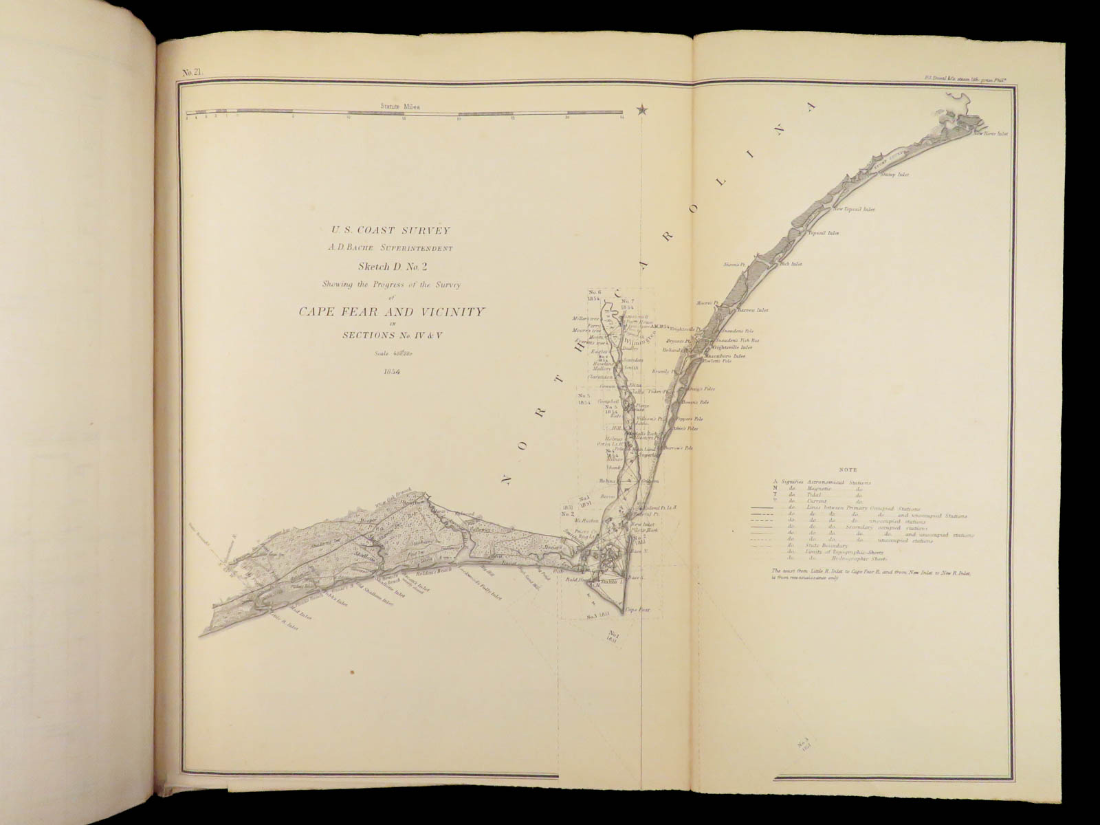
- Notes on tides along the Atlantic coast
- Navigational aids – light house matters and light beacons
Item number: #27236
Price: $950

1855 US Coastguard Reports | 1st ed Navigation Surveys | Lighthouses 50+ MAPS
American government reports from the 19th-century are some of the most desirable works of their kind. Printed by A.O.P. Nicholson, these reports described the American west and the development of civilization throughout the United States.
The 1854 “Coast Survey” is one of the most valuable because of the 50+ large, folding maps! The contents describe observations from American ports, harbors, and coasts describing locations and events such as:
- The Florida Keys, line marking surveys and expeditions
- Texas coasts and navigation through the Gulf and Galveston Bay
- River reports, Pajaro and Salinas rivers – notable river features
- Geology of the Colorado River
- Notes on tides along the Atlantic coast
- Navigational aids – light house matters and light beacons
Item number: #27236
Price: $950
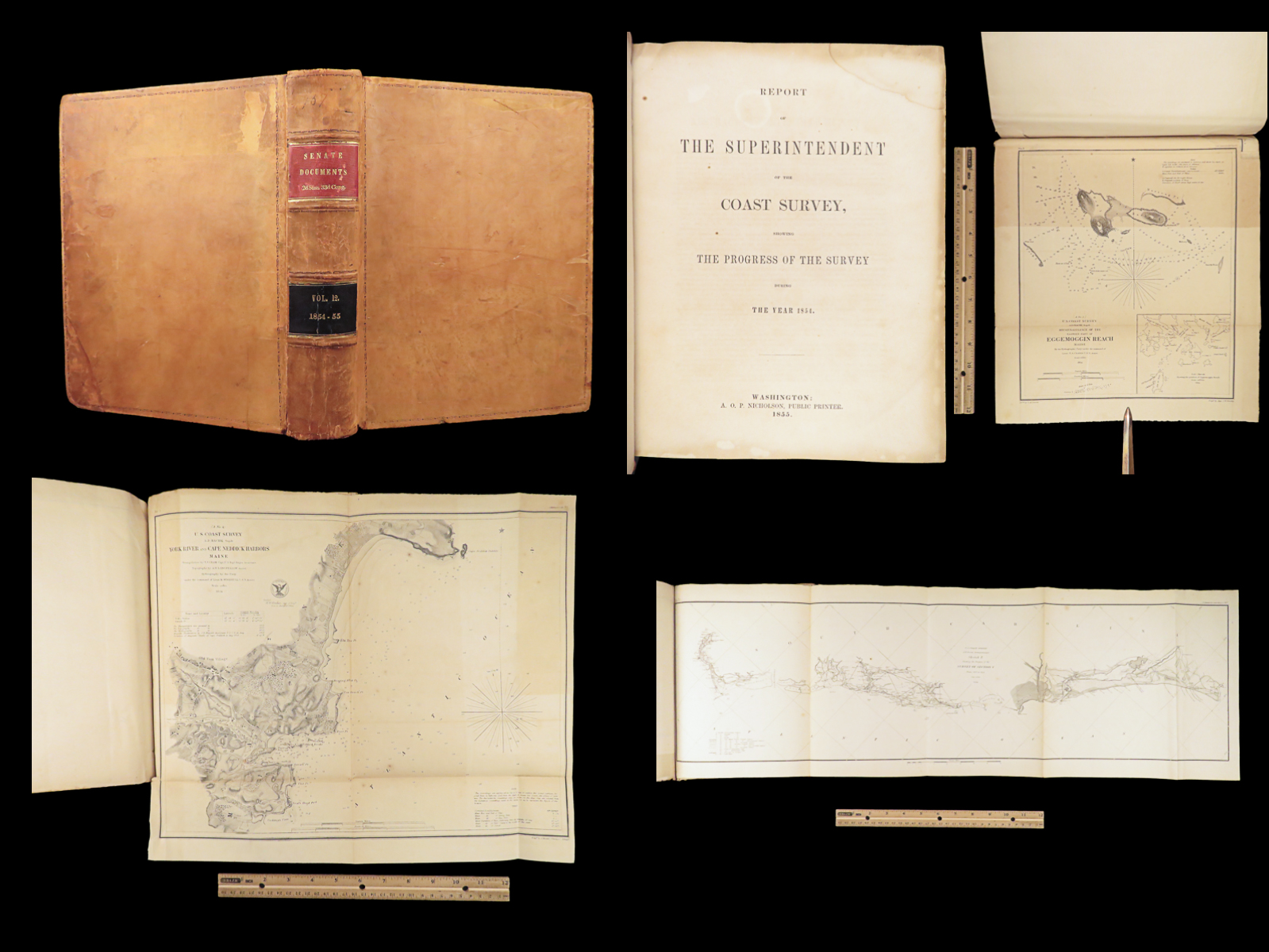
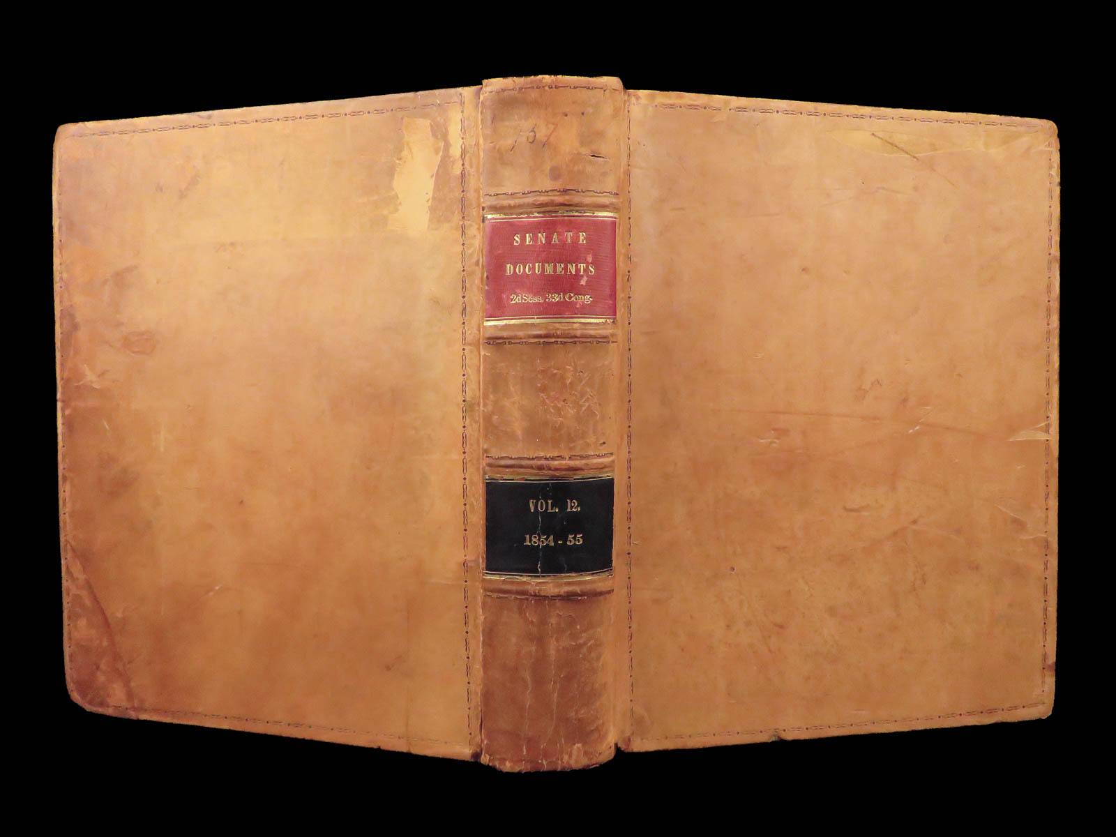
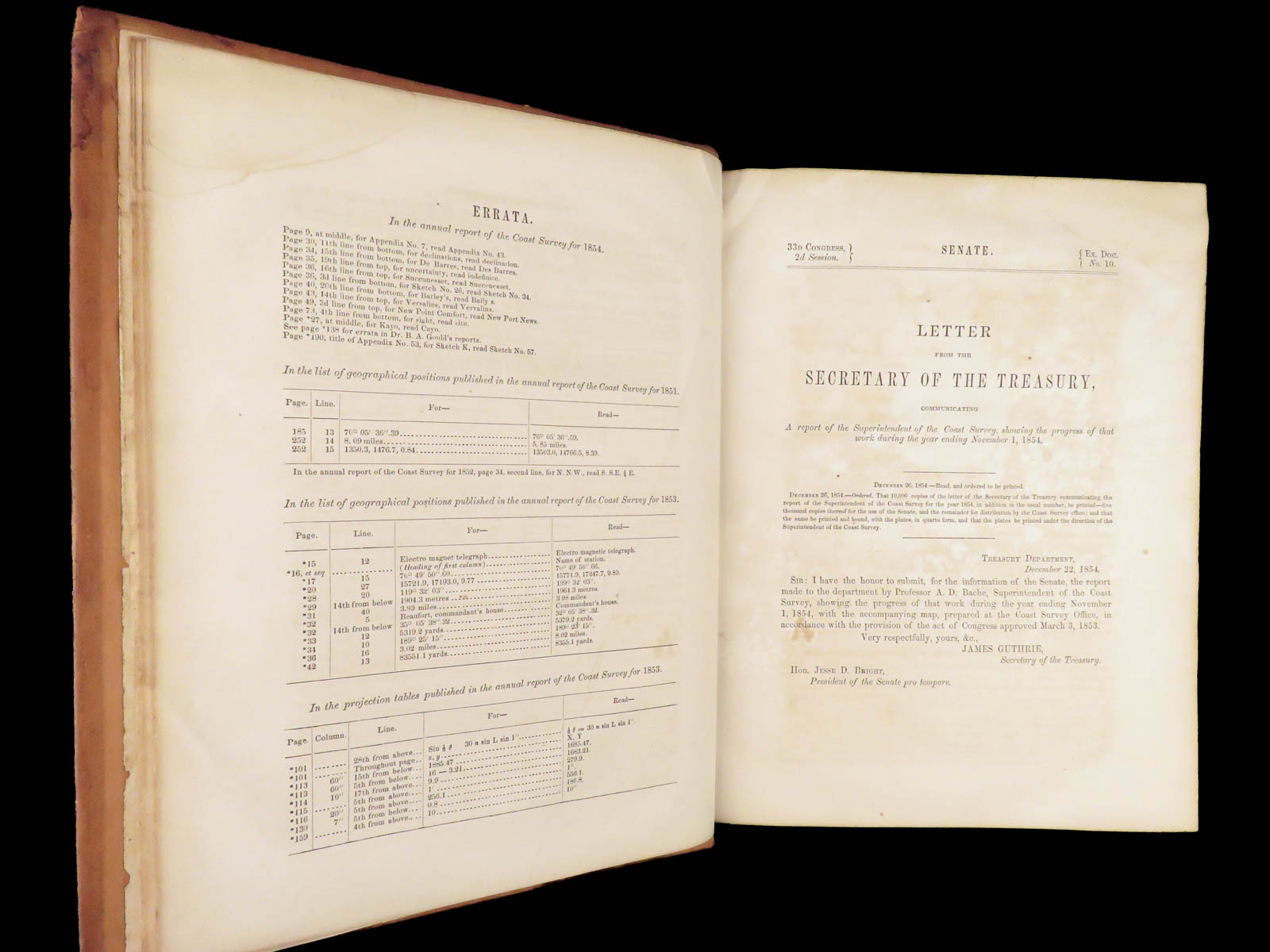
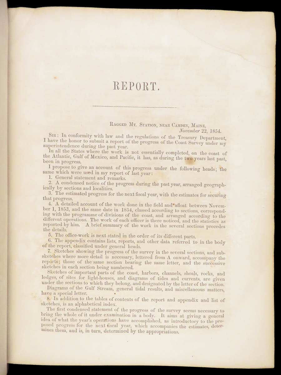
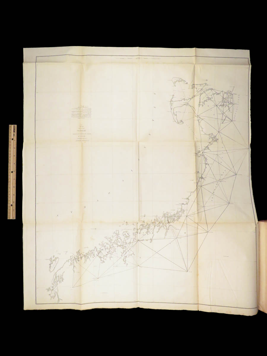
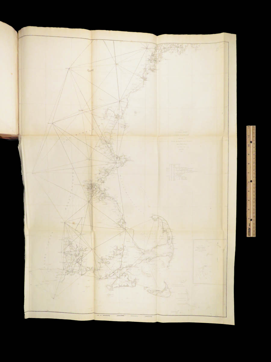
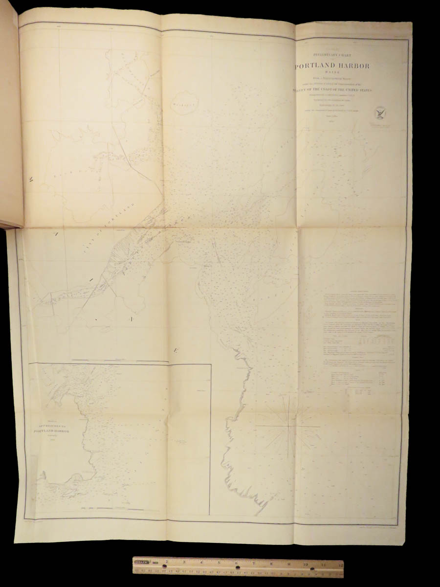
BACHE, A.D.
Report of the superintendent of the coast survey : showing the progress of the survey during the year 1854
Washington: A.O.P. Nicholson, 1855. First edition.
Details:
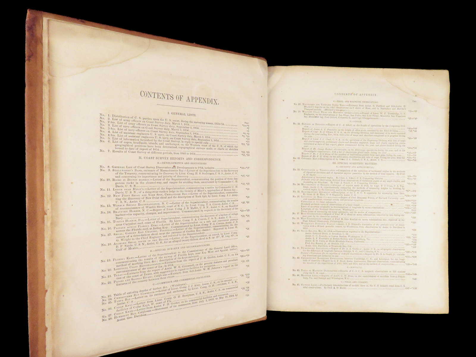
- Collation: Textually complete
- XI, [1], 92, *288
- 55 maps (of 58)
- Wanting #14, 23, 42
- #21 duplicated
- Language: English
- Binding: Leather; secure
- Size: ~11.75in X 9.5in (29.5cm x 24cm)
Our Guarantee:
Very Fast. Very Safe. Free Shipping Worldwide.
Customer satisfaction is our priority! Notify us with 7 days of receiving, and we will offer a full refund without reservation!
Categories
Americana, American History
Medicine & Science
Authors
BACHE, A.D.
Printing Date
19th Century
Language
English
Binding
Leather
Book Condition
Excellent
Other Books you might like...
-
Sale!
 Add to cart
1768 Colonial Americana 1ed Almanac Fletcher Massachusetts Bay Charter Plymouth
Original price was: $750.00.$599.00Current price is: $599.00. -
Sale!
 Add to cart
1874 Chisholm’s Route NEW YORK & Canada St. Lawrence Niagara Illustrated MAPS
Original price was: $750.00.$650.00Current price is: $650.00. -
Sale!
 Add to cart
1882 1st ed Life of Ambrose Burnside Union Army General CIVIL WAR Rhode Island
Original price was: $499.00.$450.00Current price is: $450.00. -
Sale!
 Add to cart
1866 1ed New York Stage American THEATER Actor Joseph Ireland James Hackett 2v
Original price was: $550.00.$450.00Current price is: $450.00.