1807 Carlo Barbiellini – Geografia | Huge Folio Atlas | 49 Maps, America & Italy

An absolutely impressive, early 19th-century Italian atlas!
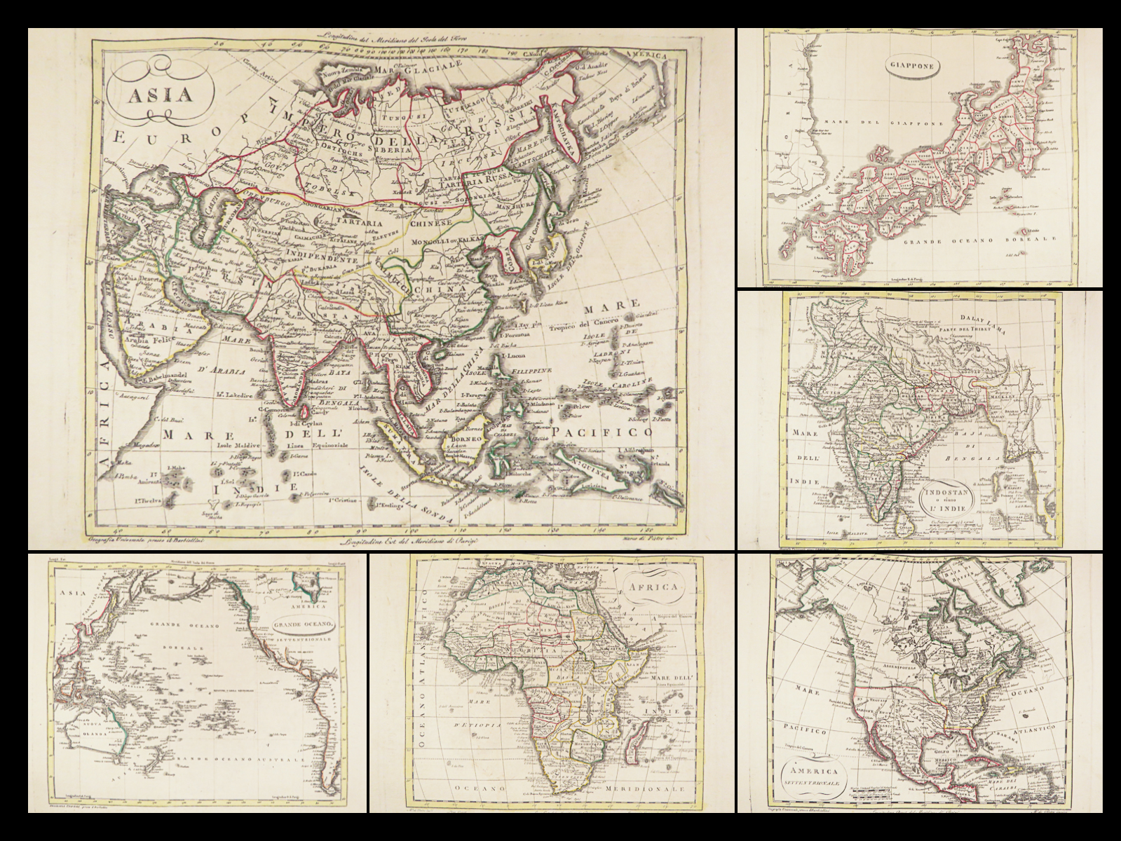
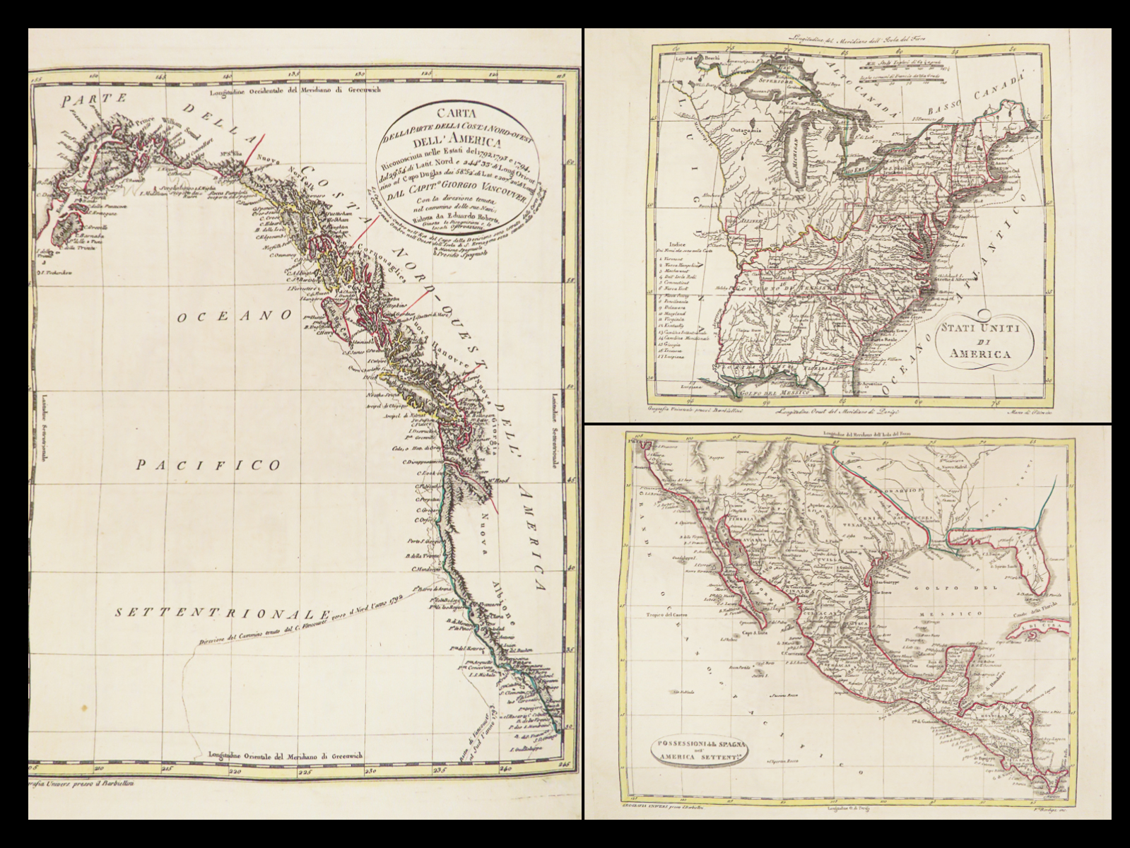
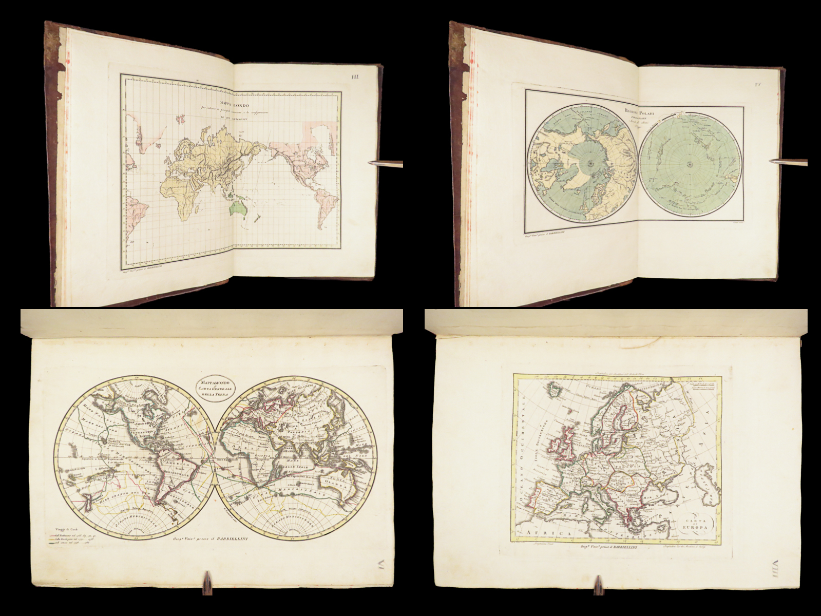
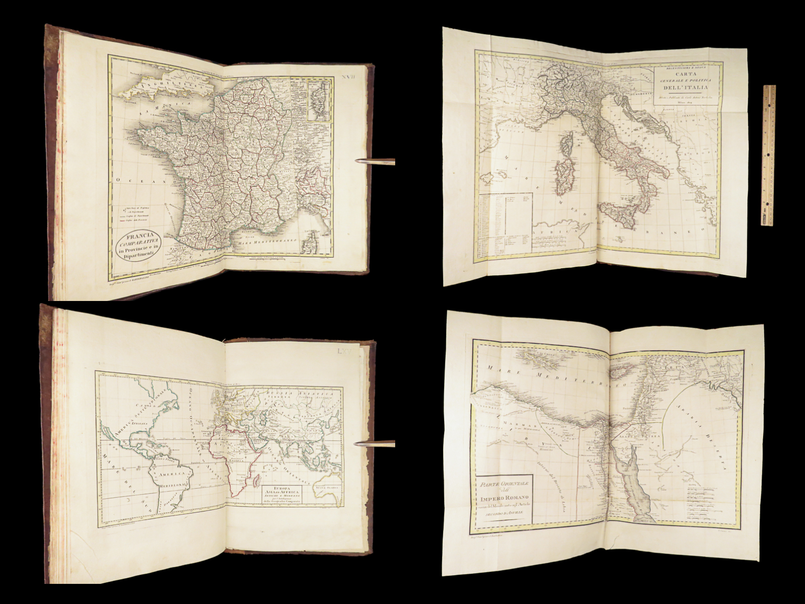
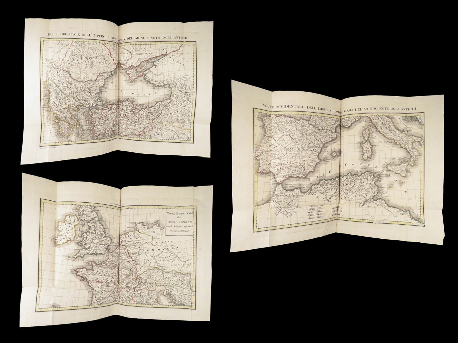
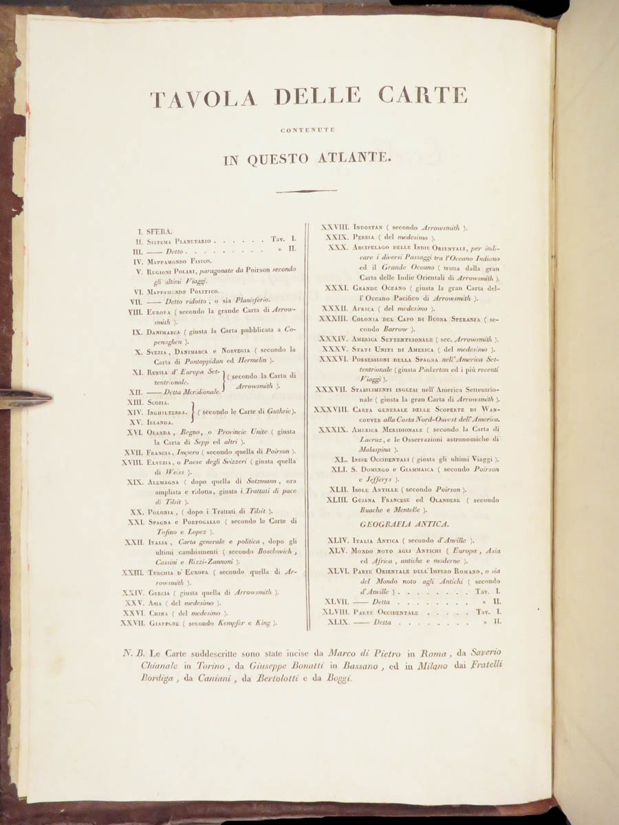
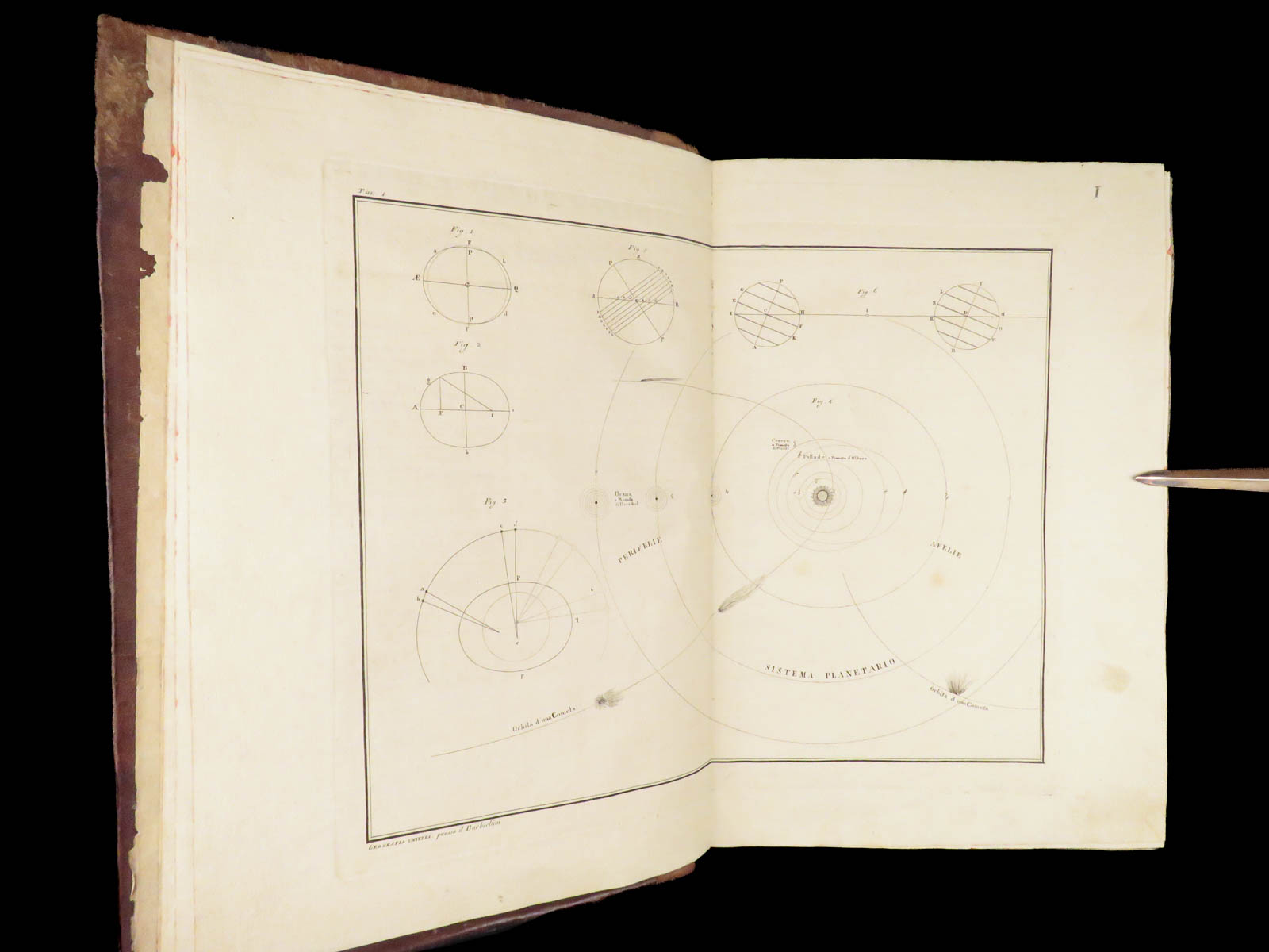
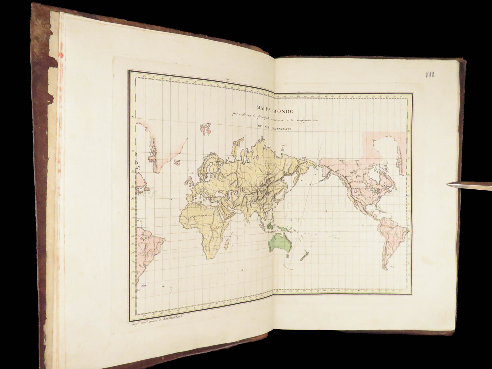
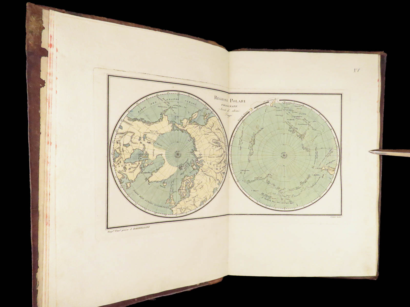
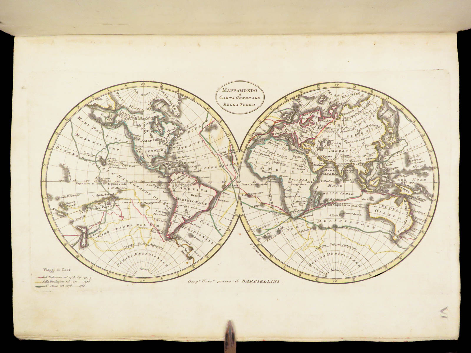
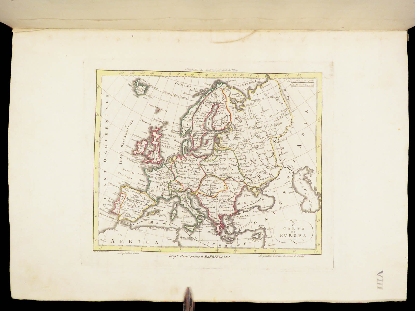
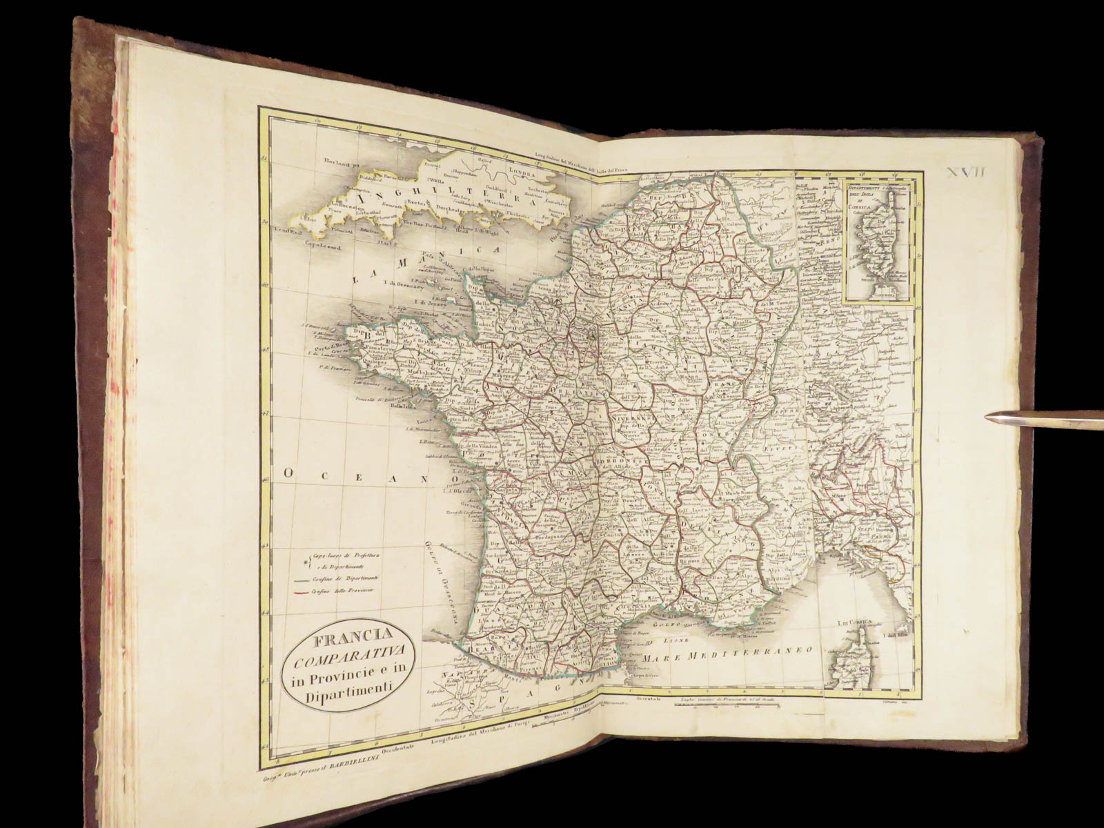
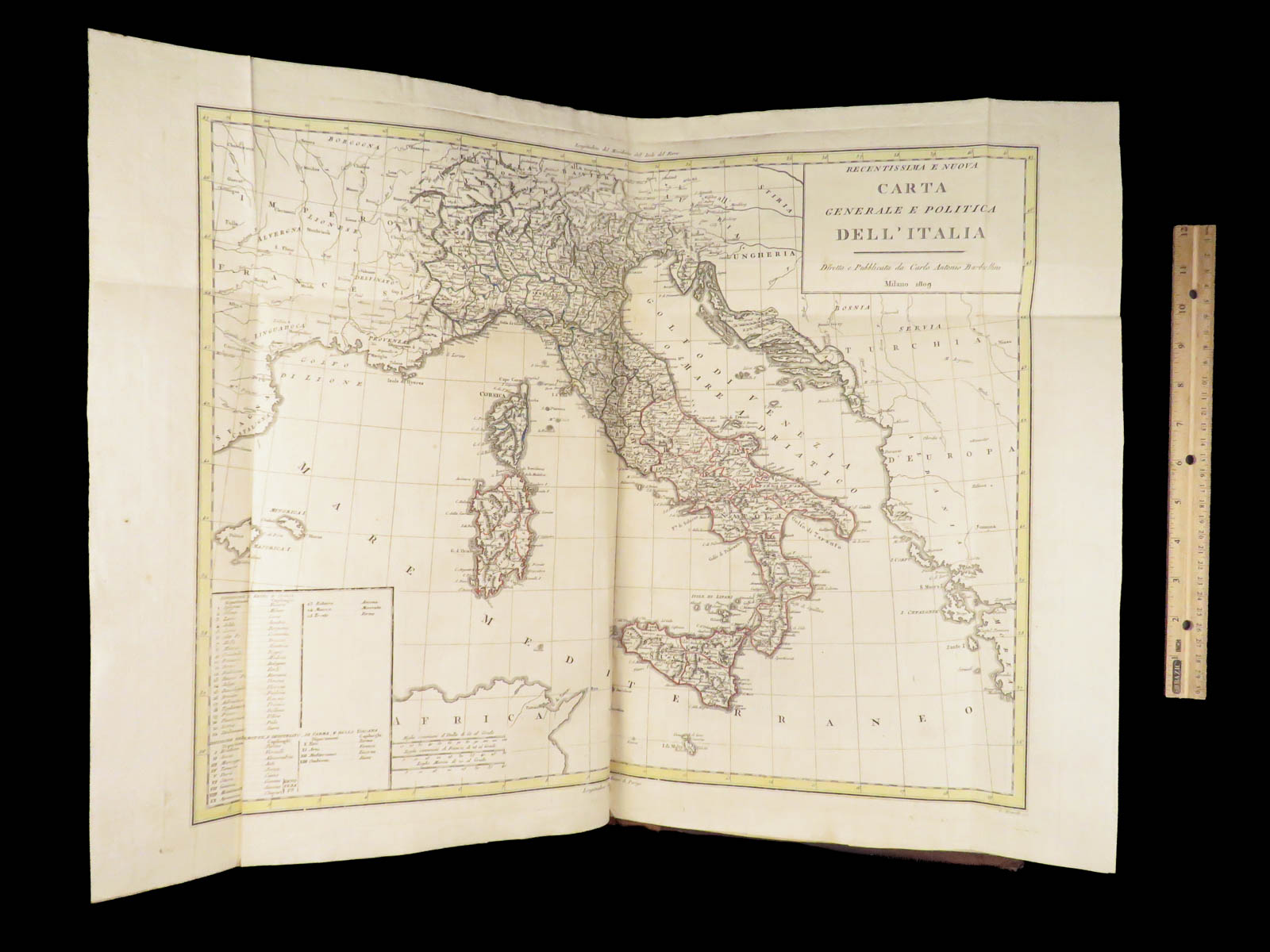
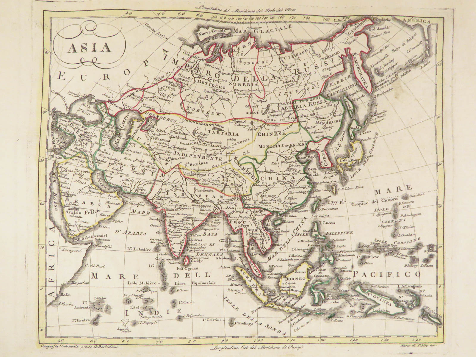
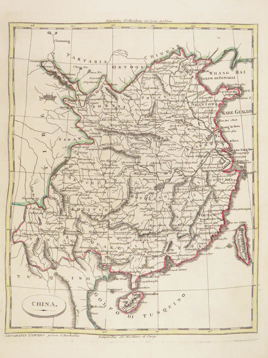
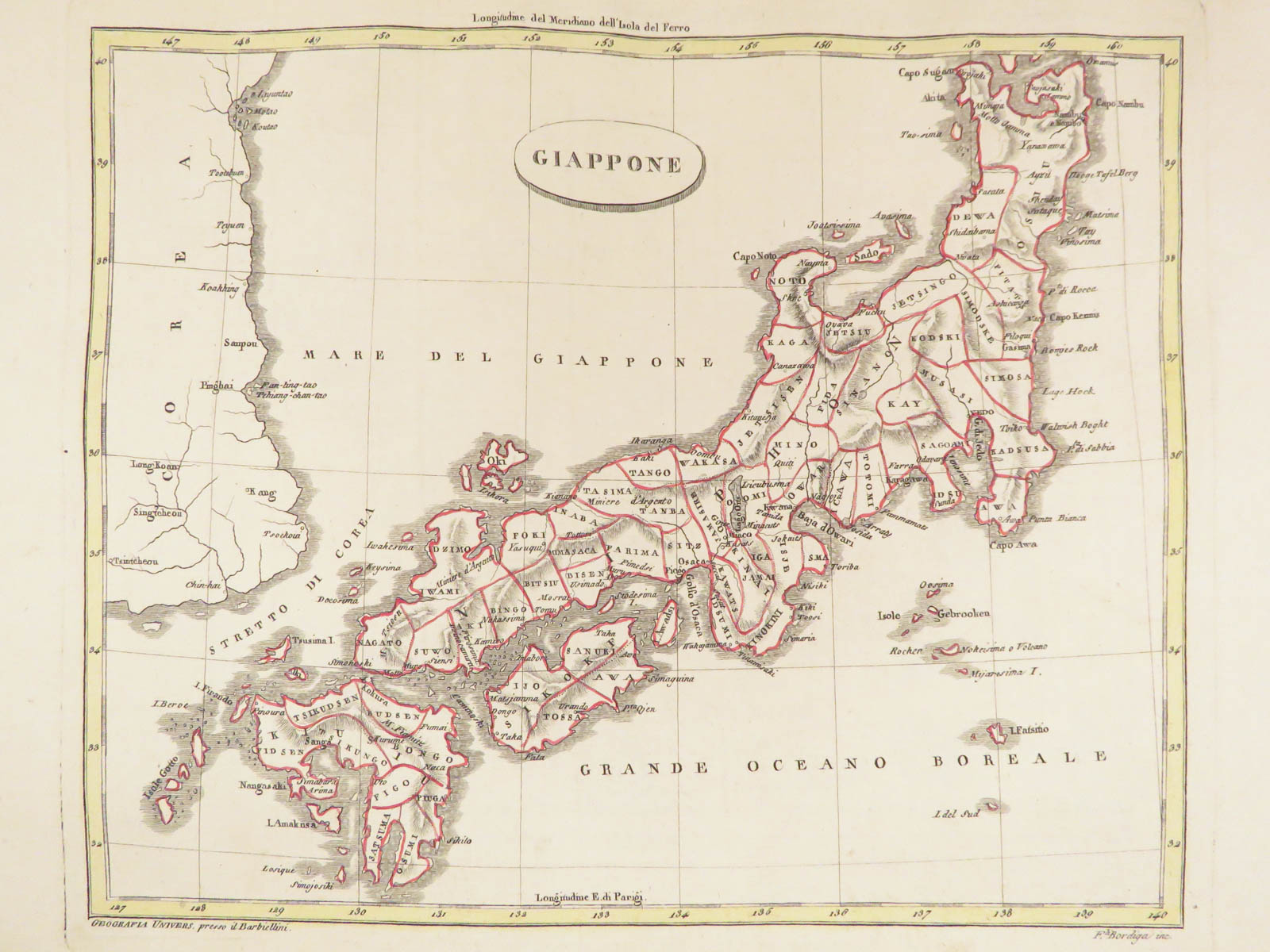
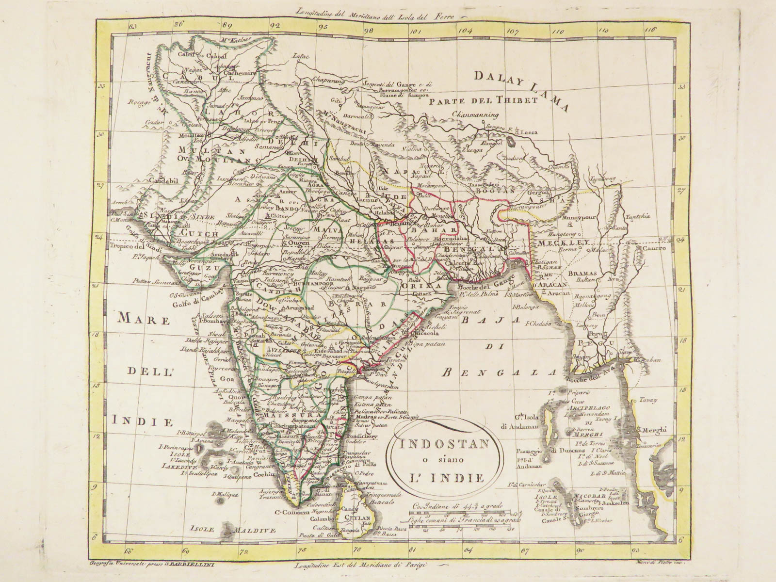
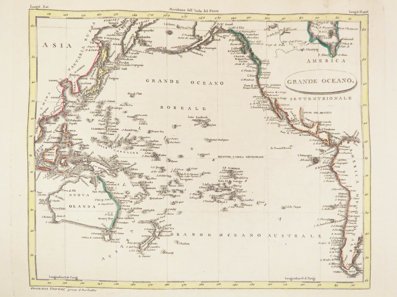
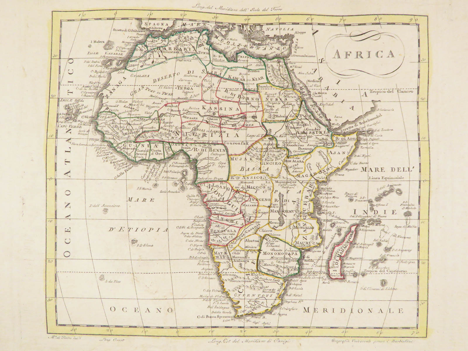
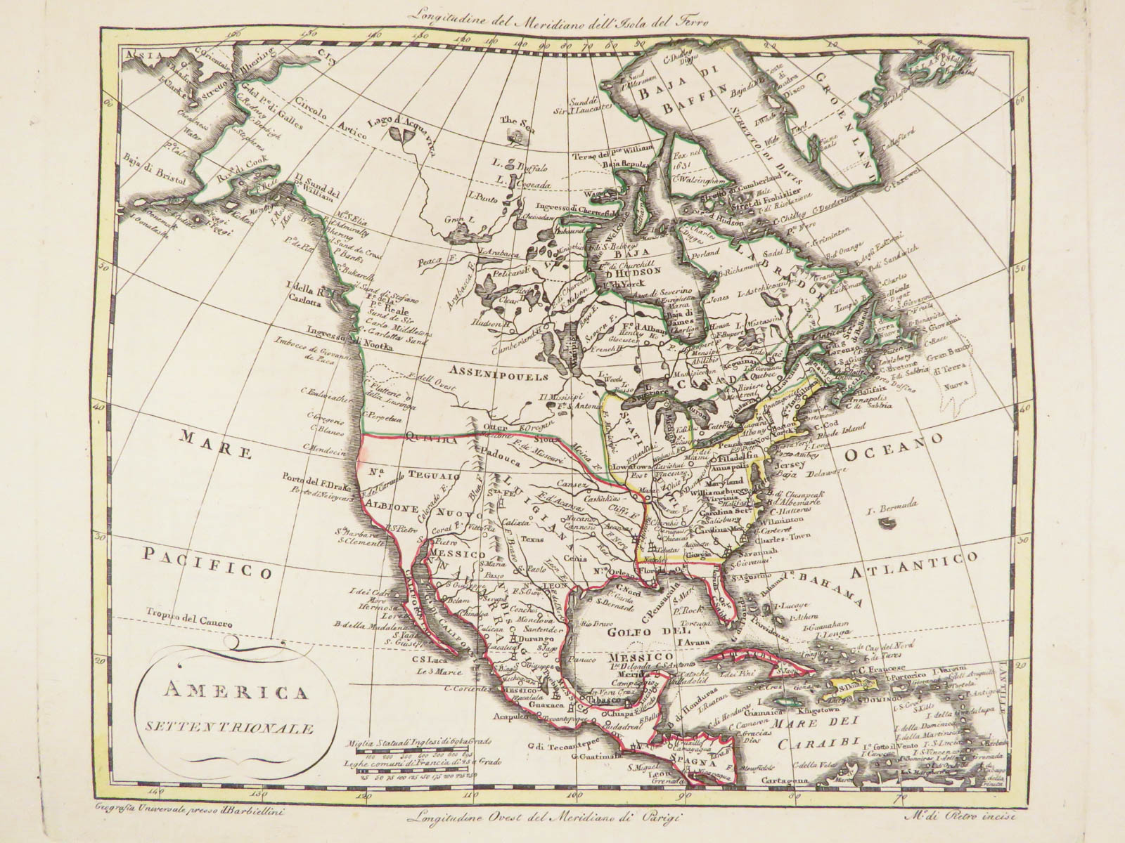
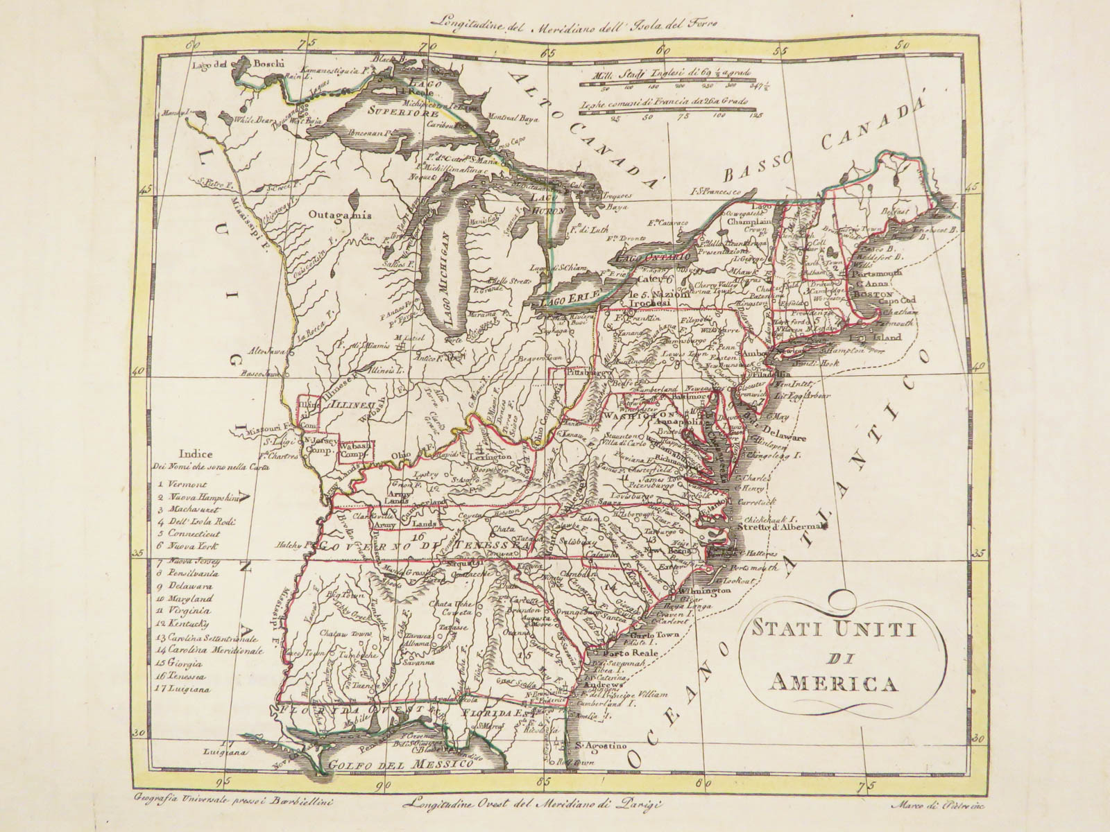
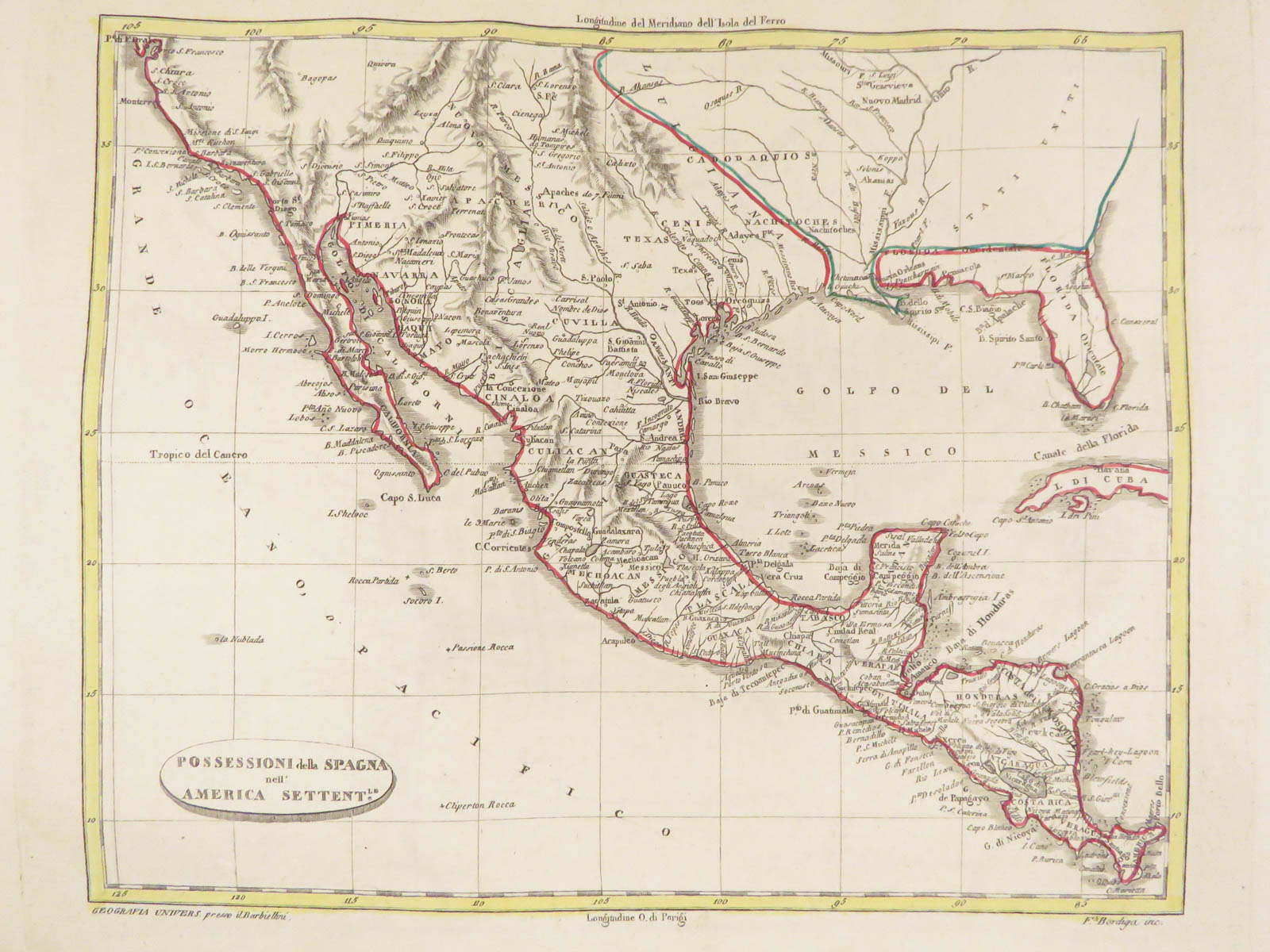
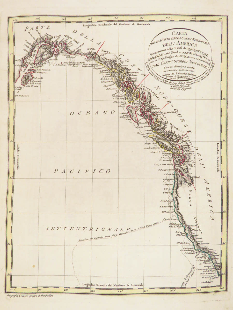
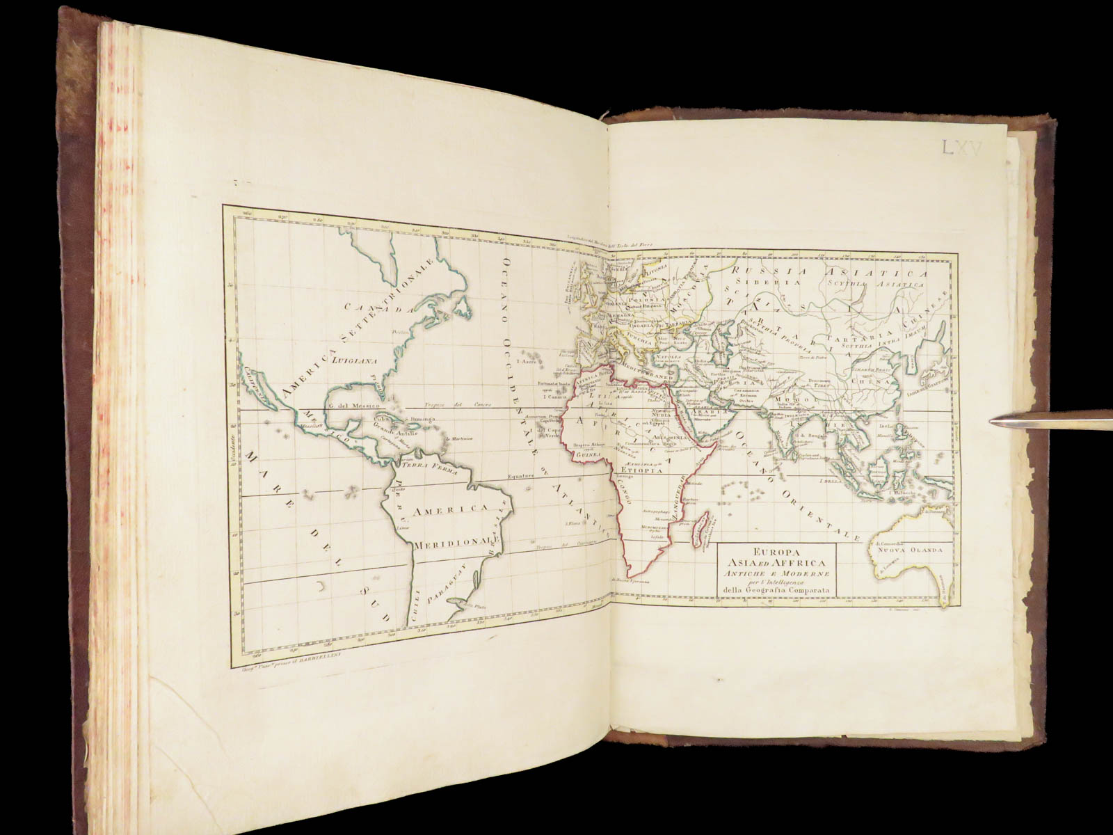
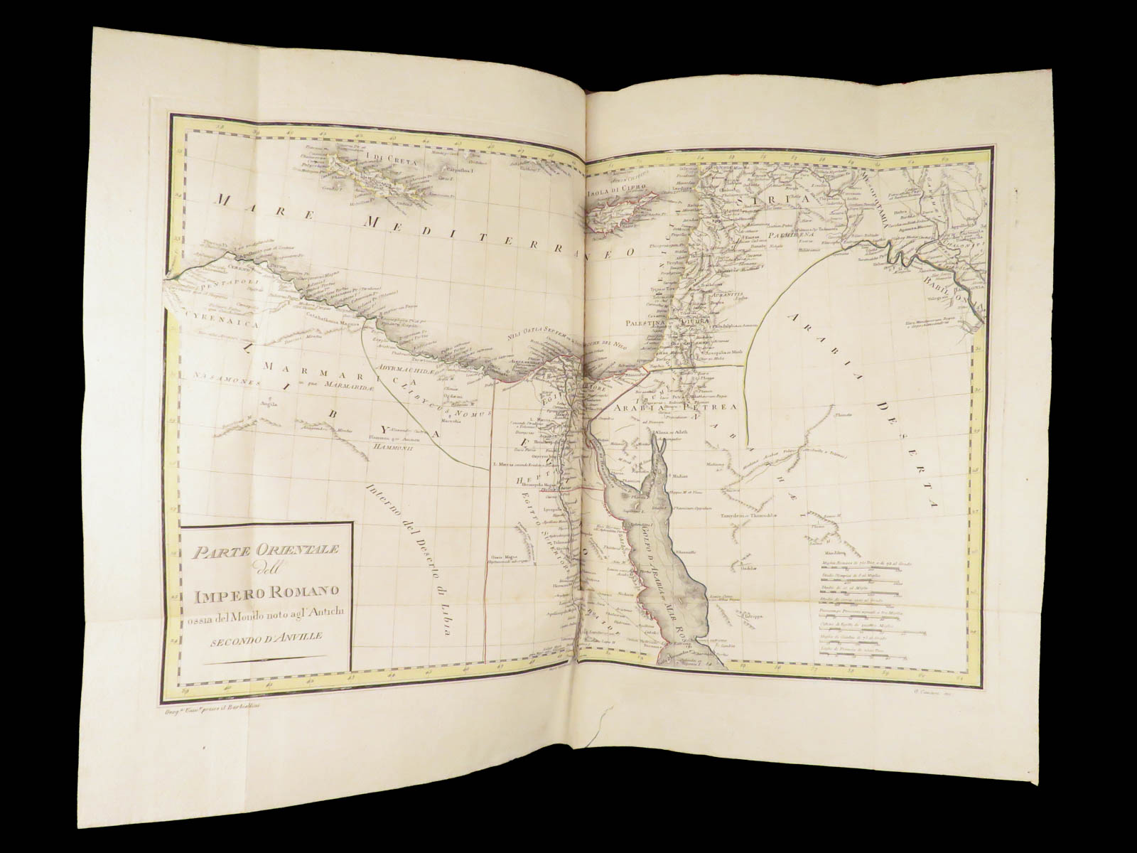
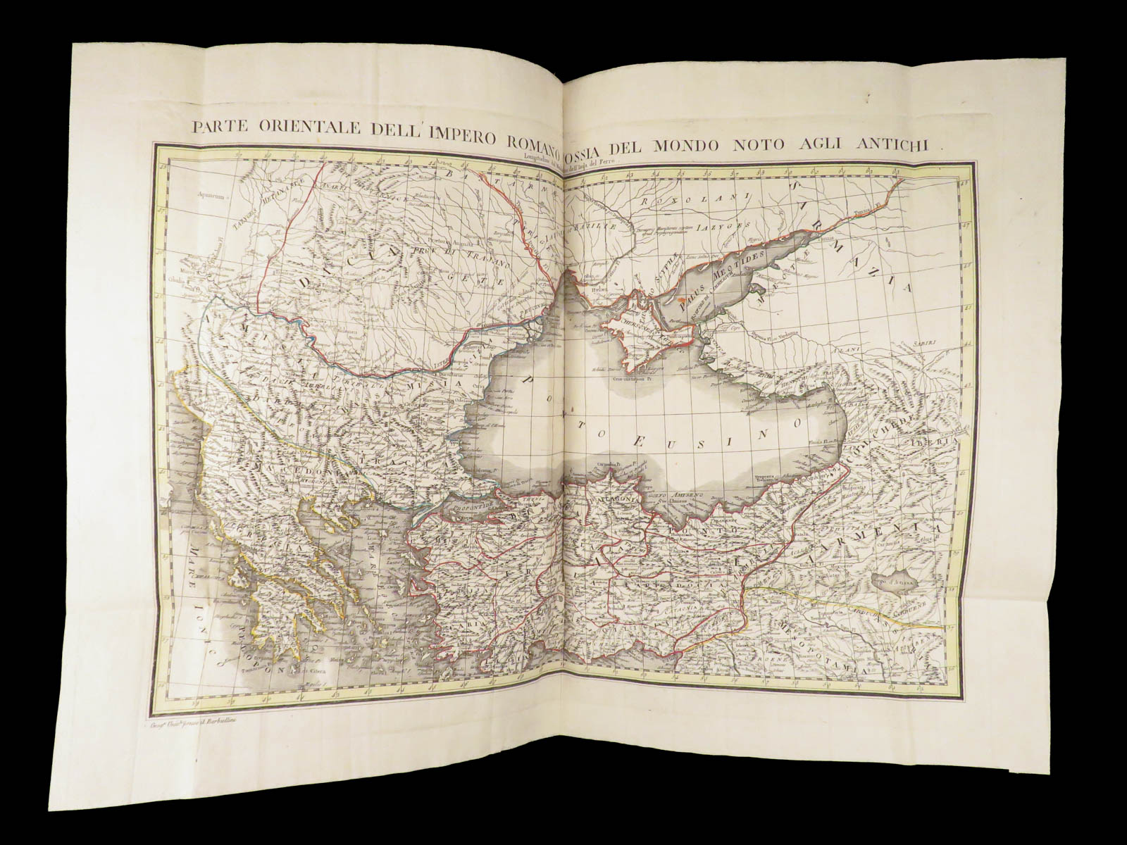
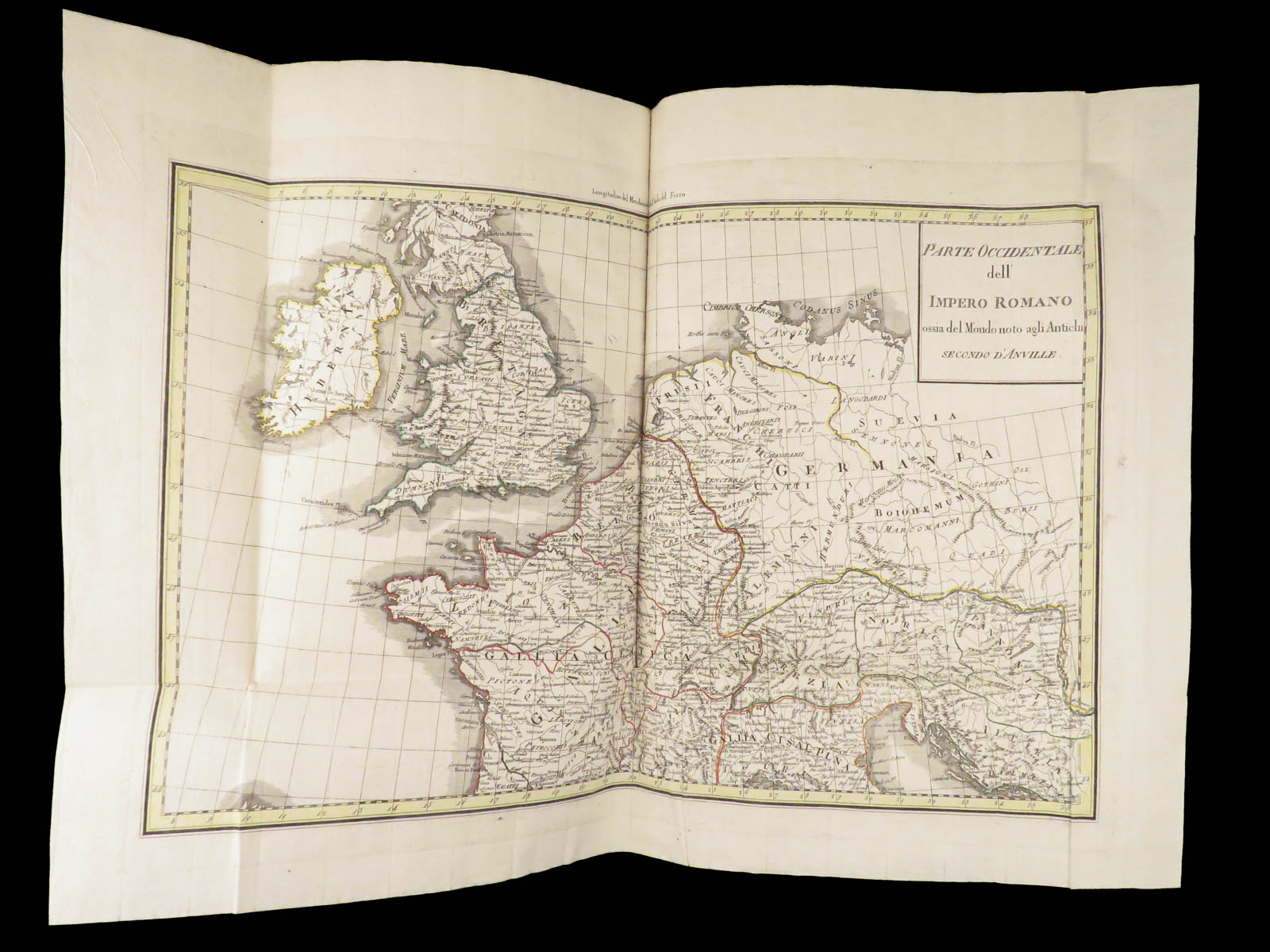
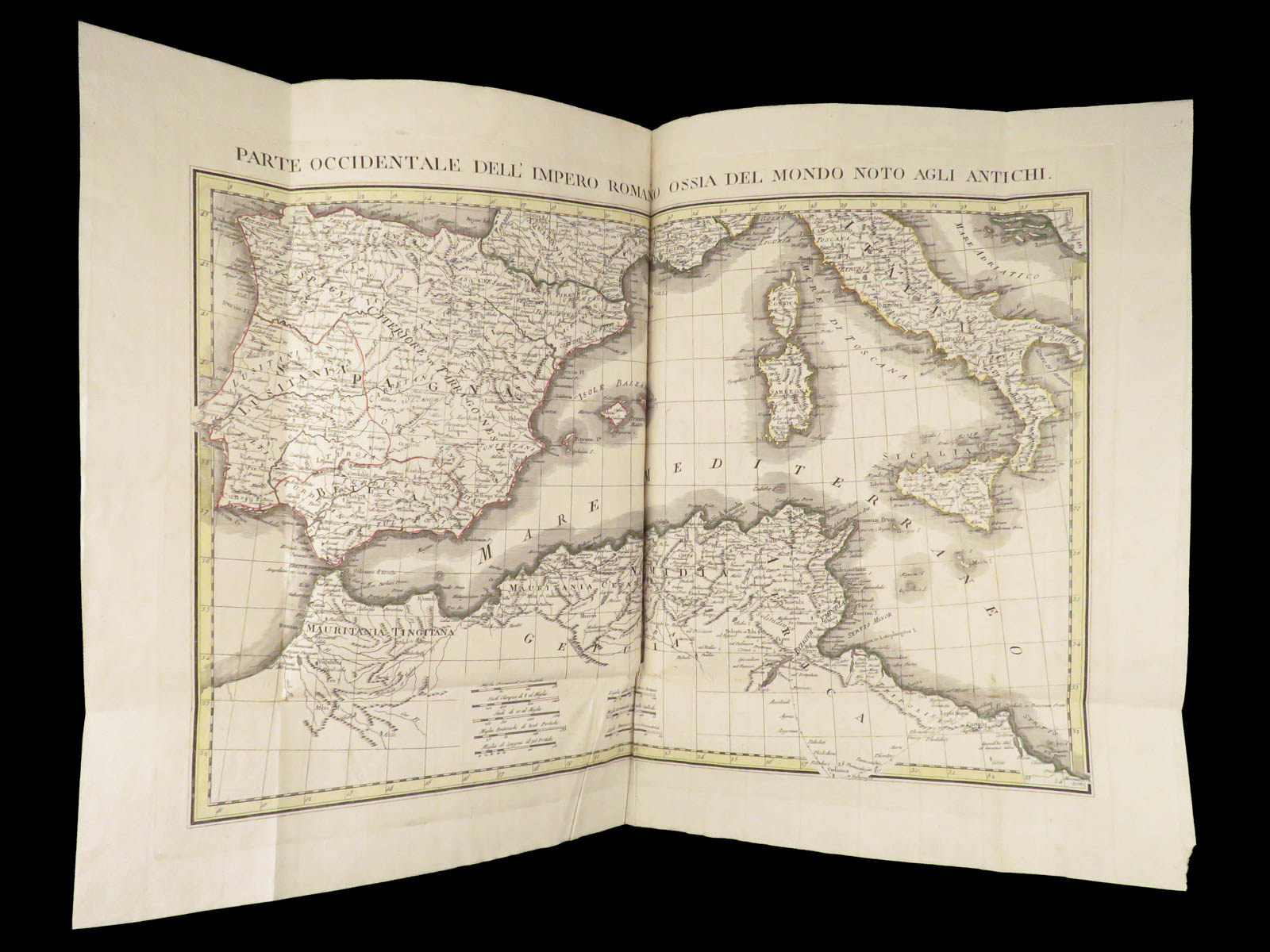
Published in 1807, this huge atlas contains 49 hand-painted maps – world maps, maps of the United States and Canada, Mexico, Caribbean islands, South America, Africa, every prominent European country, and even solar system maps!
It is rare to find atlases of this caliber at all, but to have them complete with all maps is even more rare. An impressive, complete early 19th-century folio atlas!
Item number: #28136
Price: $1950
1807 Carlo Barbiellini – Geografia | Huge Folio Atlas | 49 Maps, America & Italy
An absolutely impressive, early 19th-century Italian atlas!
Published in 1807, this huge atlas contains 49 hand-painted maps – world maps, maps of the United States and Canada, Mexico, Caribbean islands, South America, Africa, every prominent European country, and even solar system maps!
It is rare to find atlases of this caliber at all, but to have them complete with all maps is even more rare. An impressive, complete early 19th-century folio atlas!
Item number: #28136
Price: $1950
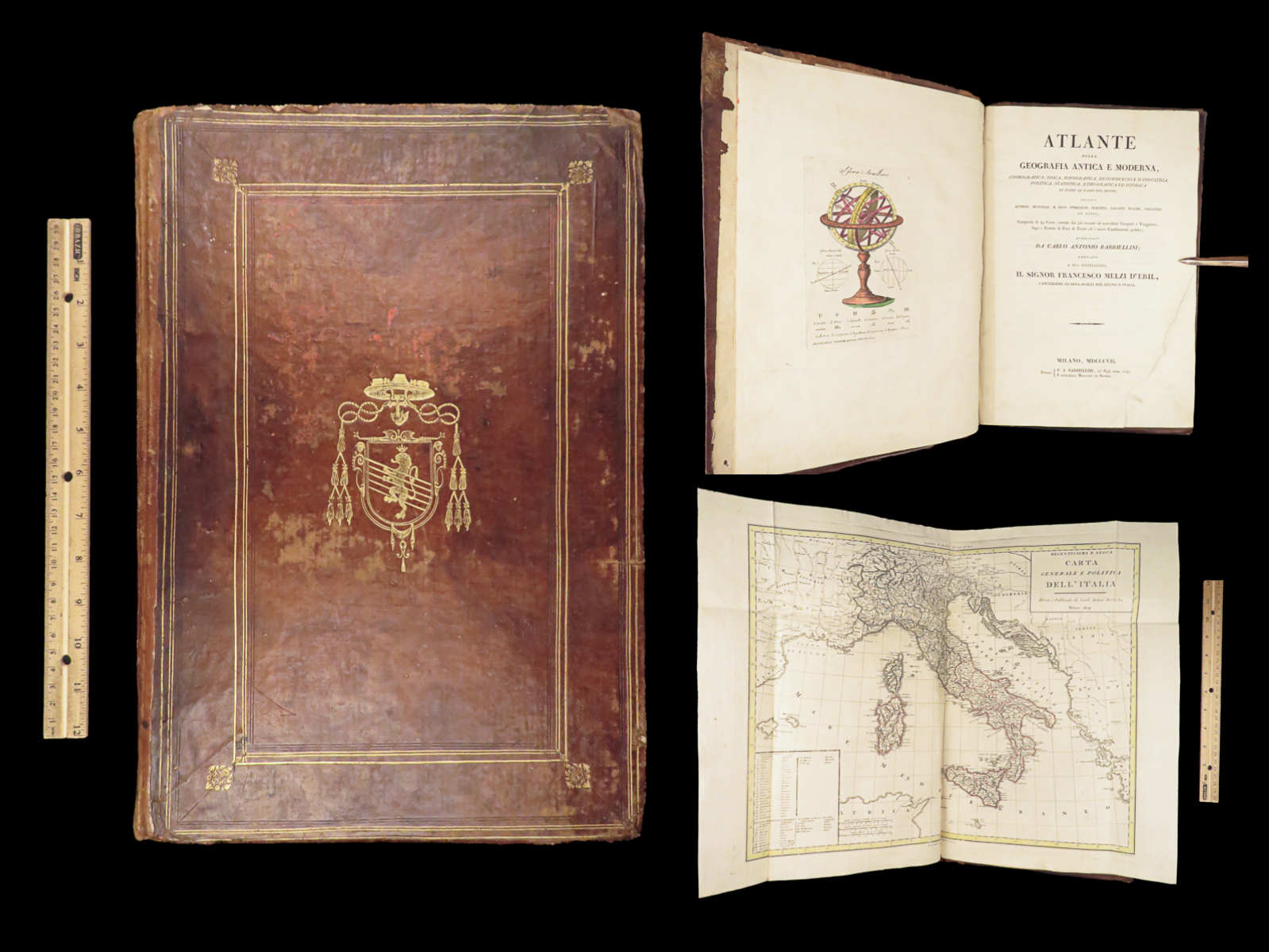
BARBIELLINI, Carlo Antonio
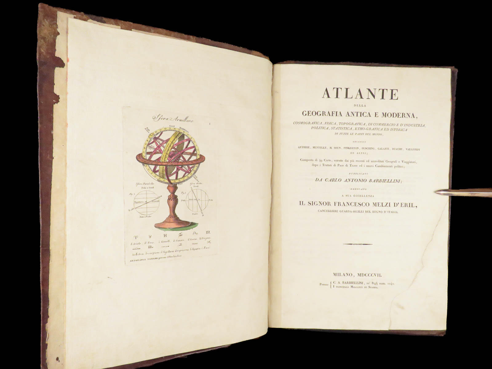
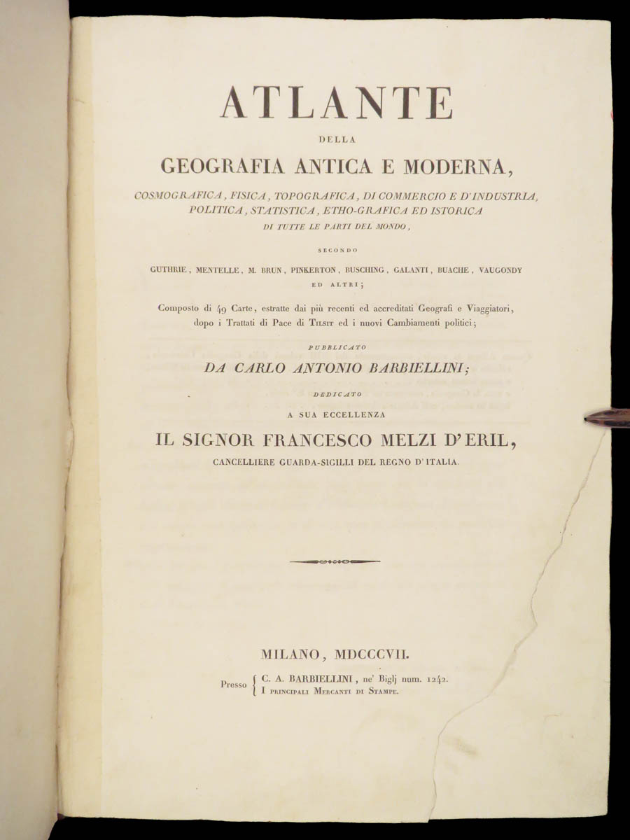
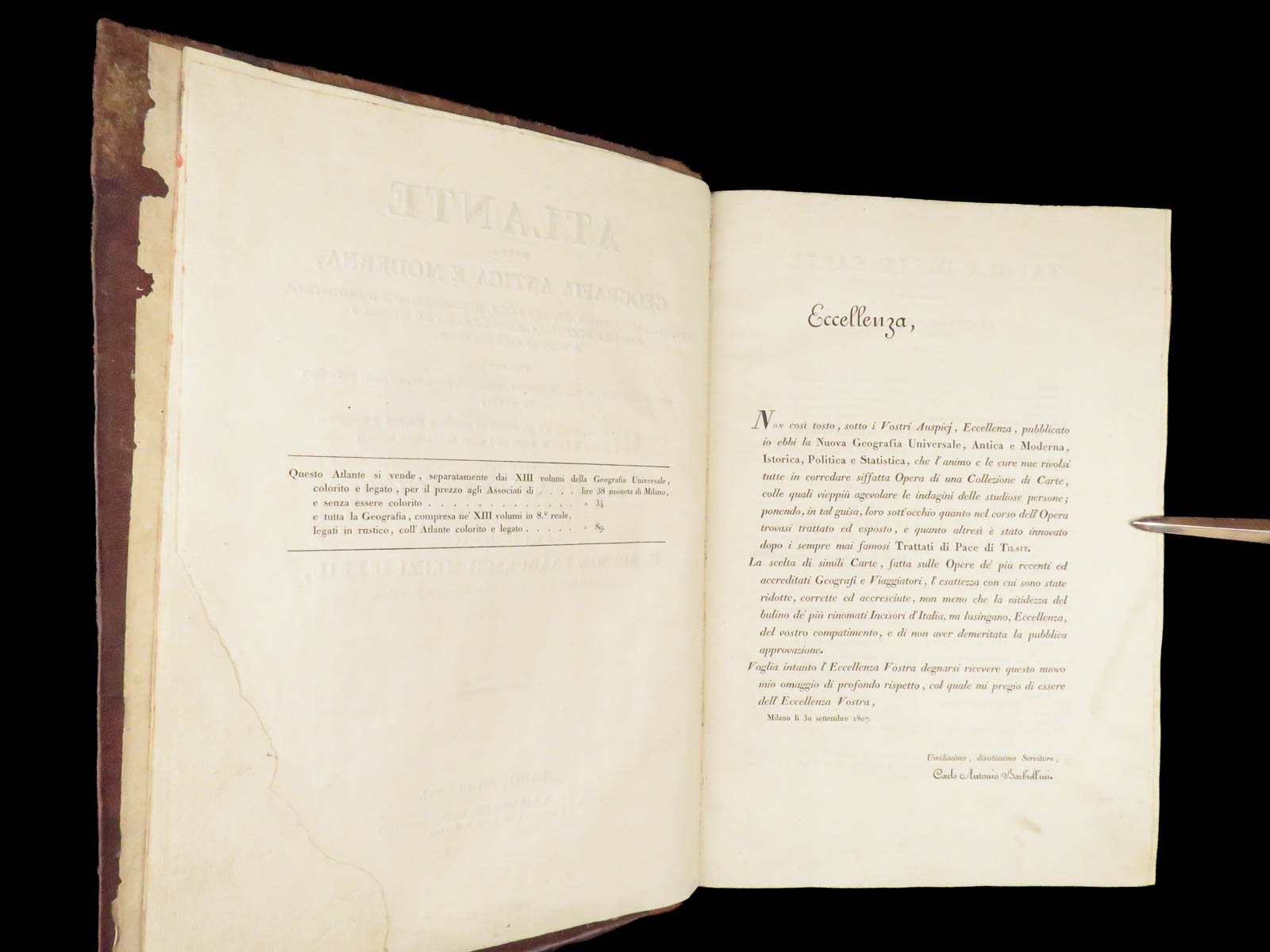
Atlante della geografia antica e moderna, cosmografica, fisica, topografica…
Milano: presso C. A. Barbiellini, 1807. First edition.
Details:
- Collation: Complete with all pages
- 49 hand-painted maps, many double-paged and folding
- Maps 40-49 all misnumbered, crudely handwritten
- No maps lacking, all present!
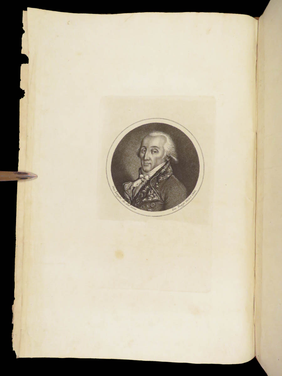
- Two additional frontispiece engravings
- 49 hand-painted maps, many double-paged and folding
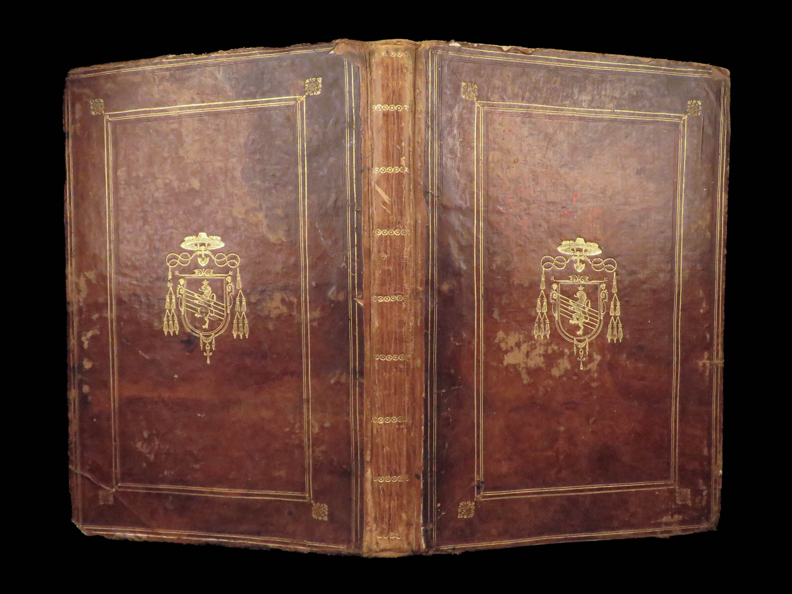
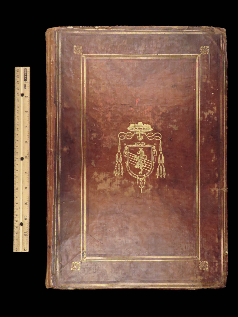
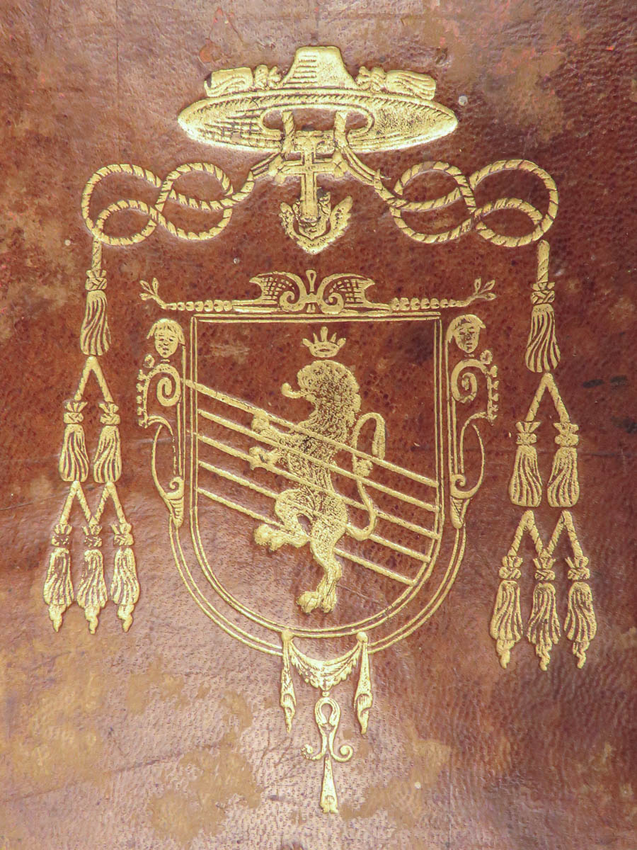
- Provenance: Ecclesiastic supralibros
- Exact match is elusive; however, it likely belonged to a Spanish or Italian bishop or archbishop from the early 19th-century. The galero with six tassels, anchored cross, crowned lion, and diagonal lines suggest such ecclesiastical origins.
- Language: Italian
- Binding: Leather; tight and secure
- Size: ~16in X 10.75in (40.5cm x 27.5cm)
Our Guarantee:
Very Fast. Very Safe. Free Shipping Worldwide.
Customer satisfaction is our priority! Notify us with 7 days of receiving, and we will offer a full refund without reservation!
Categories
Medicine & Science
Voyages & Exploration & Maps
Authors
BARBIELLINI, Carlo Antonio
Printing Date
19th Century
Language
Italian
Binding
Leather
Book Condition
Excellent
Collation
Complete
Other Books you might like...
-
Sale!
 Add to cart
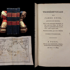
1804 CAPTAIN COOK 3rd Voyage Polynesian Islands Northwest Passage Exploration 3v
Original price was: $750.00.$650.00Current price is: $650.00. -
Sale!
 Add to cart
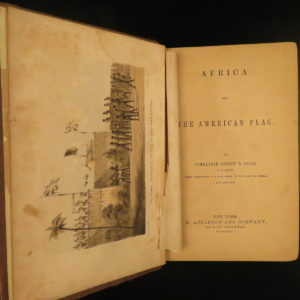
1862 Slave Trade Africa & American Flag Foote Voyages Civil War Slavery Plates
Original price was: $499.00.$450.00Current price is: $450.00. -
Sale!
 Add to cart
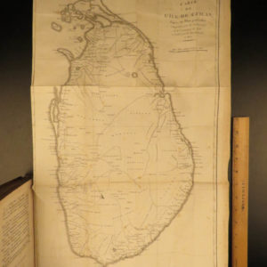
1803 1st ed Robert Percival Voyages CEYLON Dutch Torture MAPS 2v SET Sri Lanka
Original price was: $599.00.$499.00Current price is: $499.00. -
Sale!
 Add to cart
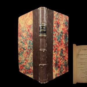
1818 Capt Paddock Shipwreck of OSWEGO Africa Slave Trade Slavery Arab Pirates
Original price was: $499.00.$450.00Current price is: $450.00.