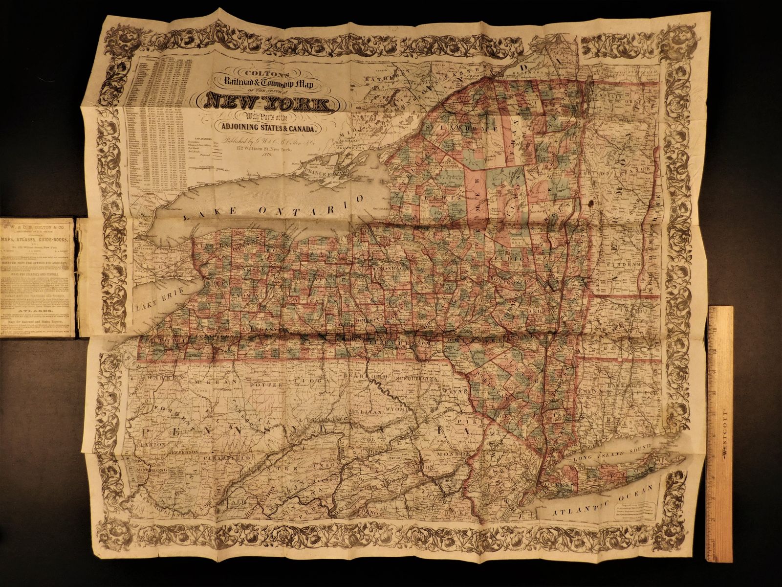
1870 Colton Railroad New York ENORMOUS Color Township MAP Canada Geography
Joseph Hutchins Colton had begun publishing maps in New York in the 1830s. Between 1831 and 1890, the Colton firm dominated American map publishing, although Colton had no formal training in geography or cartography; he began by purchasing copyrights of maps prepared by other individuals or companies, and his principal role was to manage the production and distribution of the maps.
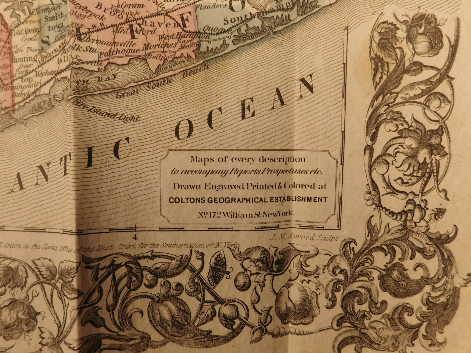
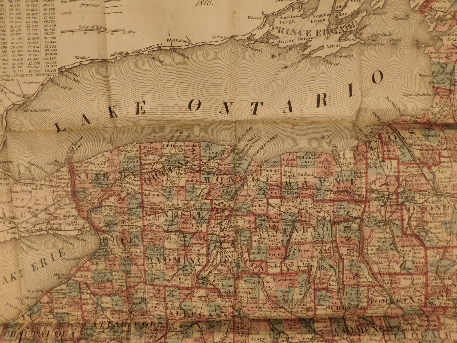
Colton’s maps, including this one, were extremely popular in the 19th-century for their detail and durability.


1870 Colton Railroad New York ENORMOUS Color Township MAP Canada Geography
Joseph Hutchins Colton had begun publishing maps in New York in the 1830s. Between 1831 and 1890, the Colton firm dominated American map publishing, although Colton had no formal training in geography or cartography; he began by purchasing copyrights of maps prepared by other individuals or companies, and his principal role was to manage the production and distribution of the maps.
Colton’s maps, including this one, were extremely popular in the 19th-century for their detail and durability.
Item number: #4038
Price: $499
COLTON
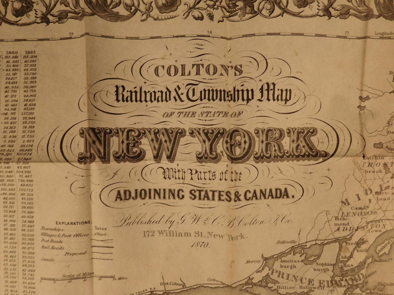
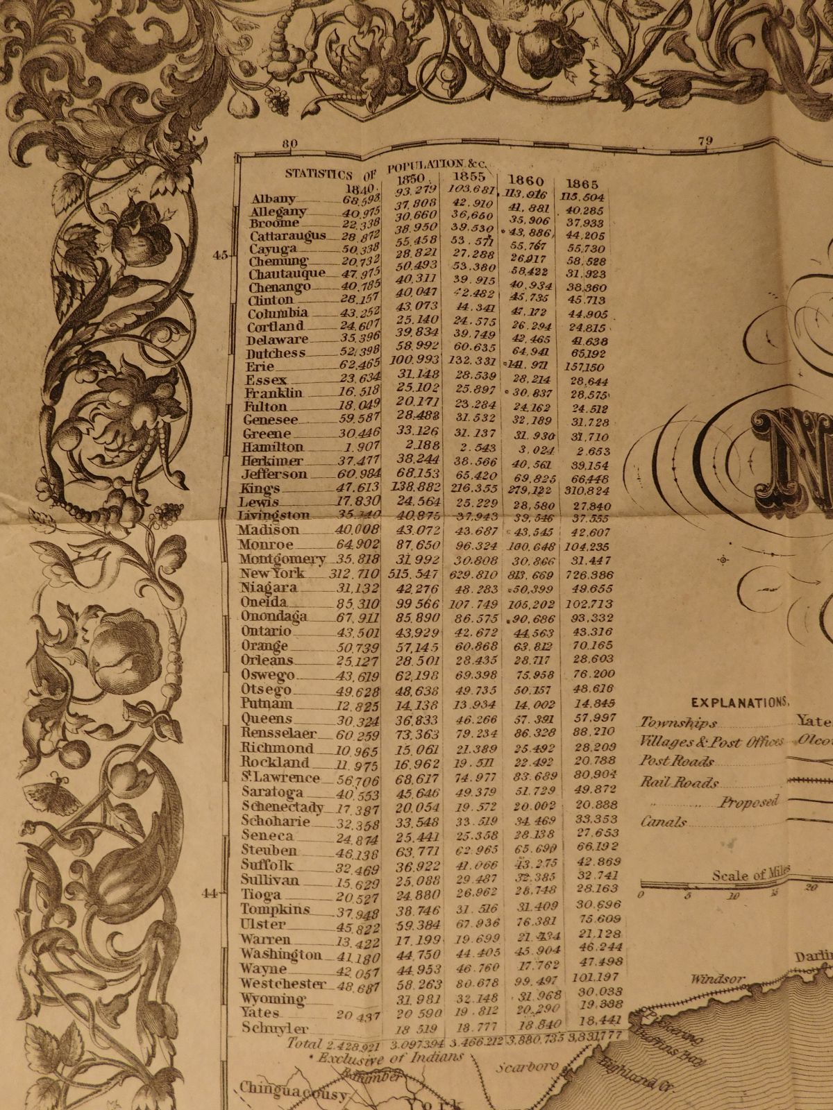
Colton’s railroad & township map of the state of New York : with parts of the adjoining states & Canada
New York : G.W. & C.B. Colton, 1870.
Details:
- Collation: Complete with all pages
- Language: English
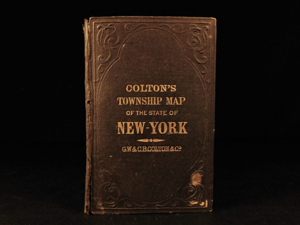
- Binding: hardcover
- Size: ~5.5in X 3in (14cm x 7.5cm)
Our Guarantee:
Very Fast. Very Safe. Free Shipping Worldwide.
Customer satisfaction is our priority! Notify us with 7 days of receiving, and we will offer a full refund without reservation!
4038
Category
Voyages & Exploration & Maps
Authors
COLTON
Printing Date
19th Century
Language
English
Binding
Leather
Book Condition
Excellent
Collation
Complete
Other Books you might like...
-
 Add to cart
1799-1800 1st ed Isaac Weld Travels US & Canada Illustrated SLAVERY Indians
$599.00 -
Sale!
 Add to cart
1808 1ed Pinkerton VOYAGES Exploration Illustrated MAPS Europe Stonehenge 6v
Original price was: $1,500.00.$1,200.00Current price is: $1,200.00. -
Sale!
 Add to cart
1738 1st ed Voyages Switzerland Swiss Alps Spas Illustrated City Views GAMBLING
Original price was: $599.00.$499.00Current price is: $499.00. -
Sale!
 Add to cart
1804 3rd Voyage Captain Cook HAWAII Sandwich Islands Alaska Pacific NW + ATLAS
Original price was: $750.00.$650.00Current price is: $650.00.